






Hiking route Deutsche Weinstraße / stage Bad Dürkheim - St. Martin


UFFBASSE! – Campaign for considerate coexistence in nature
Be considerate on the way – Always behave foresightedly, friendly and considerately towards everyone you meet on the way. This is especially...
UFFBASSE! – Campaign for considerate coexistence in nature
Be considerate on the way – Always behave foresightedly, friendly and considerately towards everyone you meet on the way. This is especially true on farm tracks, where vintners, farmers and foresters work even on weekends.
Picnic & waste – Remember a garbage bag for the way and take your waste back home. Use exclusively the furnished rest areas for breaks & picnics.
More info at www.pfalz.de/uffbasse
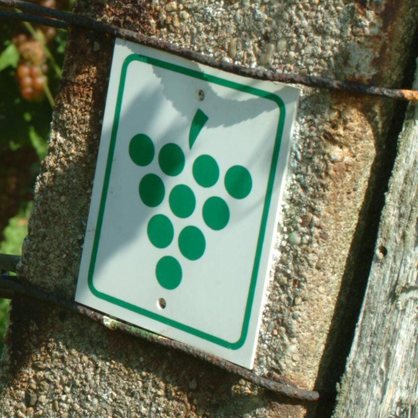

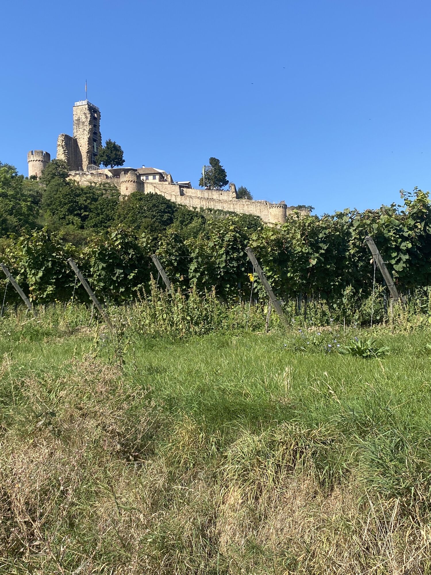
Your today's stage starts at the "Dürkheimer Giant Barrel" in Bad Dürkheim. From here you go through the spa park into the city center. You follow the signage through the pedestrian zone. At the end of it, follow the marking towards "Amtsplatz" into "Schenkenböhlstraße". Passing the flagtower, further through the vineyards, you reach Wachenheim after about 1 km. You cross the town along "Mühlwiesenstraße", "Bornweg" and reach "Waldstraße". You follow this for 200 m and then turn left into "Burgstraße". Via the streets "Am Hauenstein" and "Am Riedbrunnen" you reach the vineyards again and continue to follow the symbol of the Deutsche Weinstraße hiking trail.
After 700 m you reach the Bismarck Cave. At the forest edge, above the path to the Kleintal, is the Bismarck Cave, created in honor of Chancellor Bismarck on his 70th birthday in 1885.
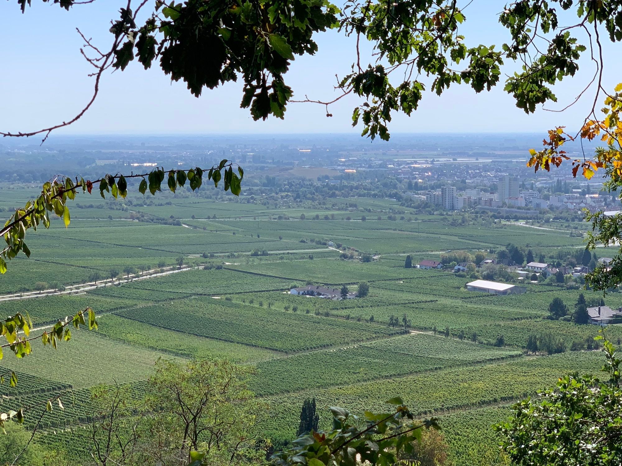
Continue towards Neustadt an der Weinstraße. For about 5 km you walk directly along the edge of the Haardt hills, leaving the localities Forst and Deidesheim to your left. Now you reach Königsbach.
Königsbach is the northernmost district of the city Neustadt an der Weinstraße and officially recognized recreation town. Like all other districts of Neustadt, Königsbach is a valued wine town. Quality wines from the vineyards "Ölberg", "Jesuitengarten" and "Idig" have made a name for themselves.
Following the street "Fürstenweg" you reach Gimmeldingen after about 1 km. Here every year in March/April the big almond blossom festival takes place, attracting thousands of visitors annually. You leave Gimmeldingen via "Heidenburgstraße" and the street "An der Ahrtal". From there, the path leads you over "Eichkehle" and "Mandelring", past the district Neustadt-Haardt, into the center of Neustadt an der Weinstraße. You follow the "Haardter Treppenweg" to "Villenstraße" – there you turn right into the street and then continue directly onto "Hauptstraße", which leads you straight to the main station. Here you follow the overpass and come to "Bergstraße". Through a small alley you reach "Wittelsbacher Straße" and then "Dochnahlstraße". After about 100 m, turn right into "Dr. Hepp Straße". At the end of the street, go right to get to "Frühlingsstraße". If you turn left into "Frühlingsstraße", you reach "Dr.-Wirth-Straße" after a short distance, where you turn right to get to Limburgstraße on the left side.
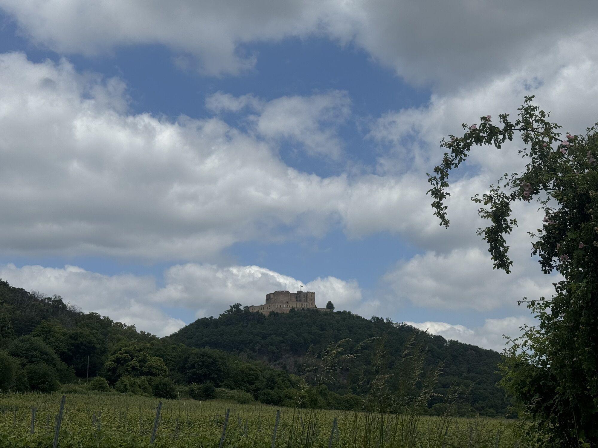
Follow Limburgstraße southwards via Erschigweg and Römerweg to Neustadt-Hambach, probably the best-known district. Here is the Hambach Castle, the birthplace of German democracy. Thousands of visitors climb up to the castle every year and you also have the opportunity to visit this historically significant site. You reach the castle via "Kirchbergweg", which leads you straight to "Schlossstraße". After this detour, you leave Hambach again via "Schlossstraße" and continue southwards. After about 2 km, you reach "Kalmithöhenstraße", which leads many visitors up to the Kalmit. This is with 673 meters the highest mountain of the Palatinate Forest and the second highest peak of the Palatinate. Now you already have the destination of today's stage in sight, St. Martin.
The wine and spa town of St. Martin, with about 2,000 inhabitants, lies picturesquely nestled in a valley fold on the edge of the Palatinate Forest. Above St. Martin rises the Kropsburg from the 13th century. In St. Martin, the "secret metropolis of the Palatine Tuscany", you find stately half-timbered houses and noble residences in romantic medieval alleys. The historic town center has been a protected monument since 1981.
Südliche Weinstrasse e.V.
An der Kreuzmühle 2
76829 Landau i.d.Pfalz
Tel: 06341/940-400
Fax: 06341/940-402
www.suedlicheweinstrasse.de
E-Mail: info@suedlicheweinstrasse.de
Webové kamery z prohlídky

Oblíbené prohlídky v okolí
-
4.1
Ganerbenweg - Premium circular hiking route in the Freinsheim holiday region
středníTuristika 10.5 km -
4.6
From Deidesheim over the Heidenlöcher to Eckkopf
středníTuristika 14.6 km -
4.5
Wachenheimer Valleys Route to Oppauer Haus
středníTuristika 11.7 km -
Wachenheim - Eckkopf - Heidenlöcher - Wachenheim
středníTuristika 12.8 km -
4.8
Zum Saupferch - Jägerthal - Drachenfels - Lambertskreuz
středníTuristika 10.1 km -
5.0
Rundtour Roth unter Riethburg
středníTuristika 14.5 km -
5.0
Circular route through forest and vineyard: Weisenheim am Berg - "Wine, Forest, Ungeheuer"
středníTuristika 12.5 km -
4.5
Vom Hambacher Schloss auf die Kalmit
středníTuristika 11.3 km -
3.5
Thomas‘ Waldweinstube über die Wachtenburg
světloTuristika 4.81 km -
5.0
Palatinate Wine Route stage 05 Neustadt a. d. Weinstraße - St. Martin
heavydálková pěší trasa 19.8 km
Pěší turistika a stopování


Nenechte si ujít nabídky a inspiraci pro vaši příští dovolenou
Vaše e-mailová adresa byl přidán do poštovního seznamu.





