







Wine hike: Weisenheim am Sand - Sandhasenweg 2

The Sandhas leads you on the "second" Sandhasenweg through the northeastern district of Weisenheim am Sand. On this small excursion, you will be rewarded with beautiful views of the nearby surroundings...
The Sandhas leads you on the "second" Sandhasenweg through the northeastern district of Weisenheim am Sand. On this small excursion, you will be rewarded with beautiful views of the nearby surroundings as well as a varied landscape with orchards, vineyards and asparagus fields.

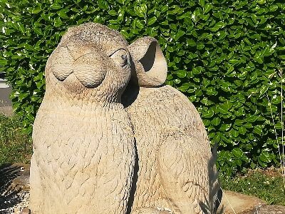
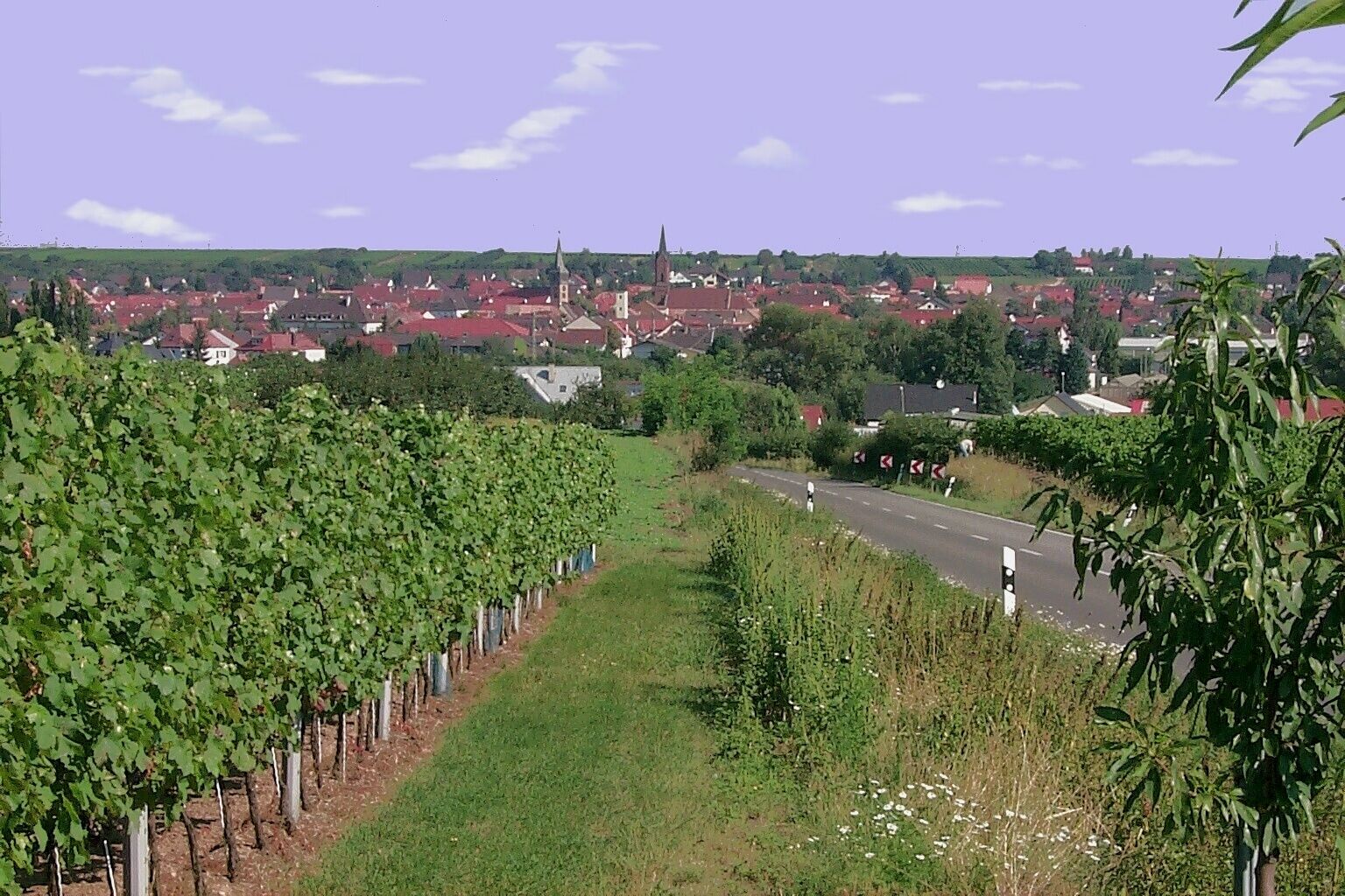
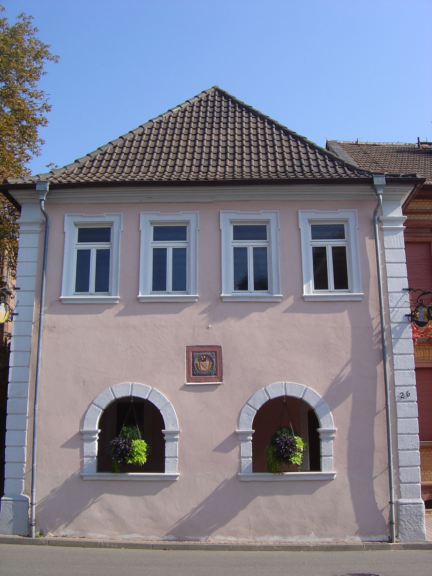
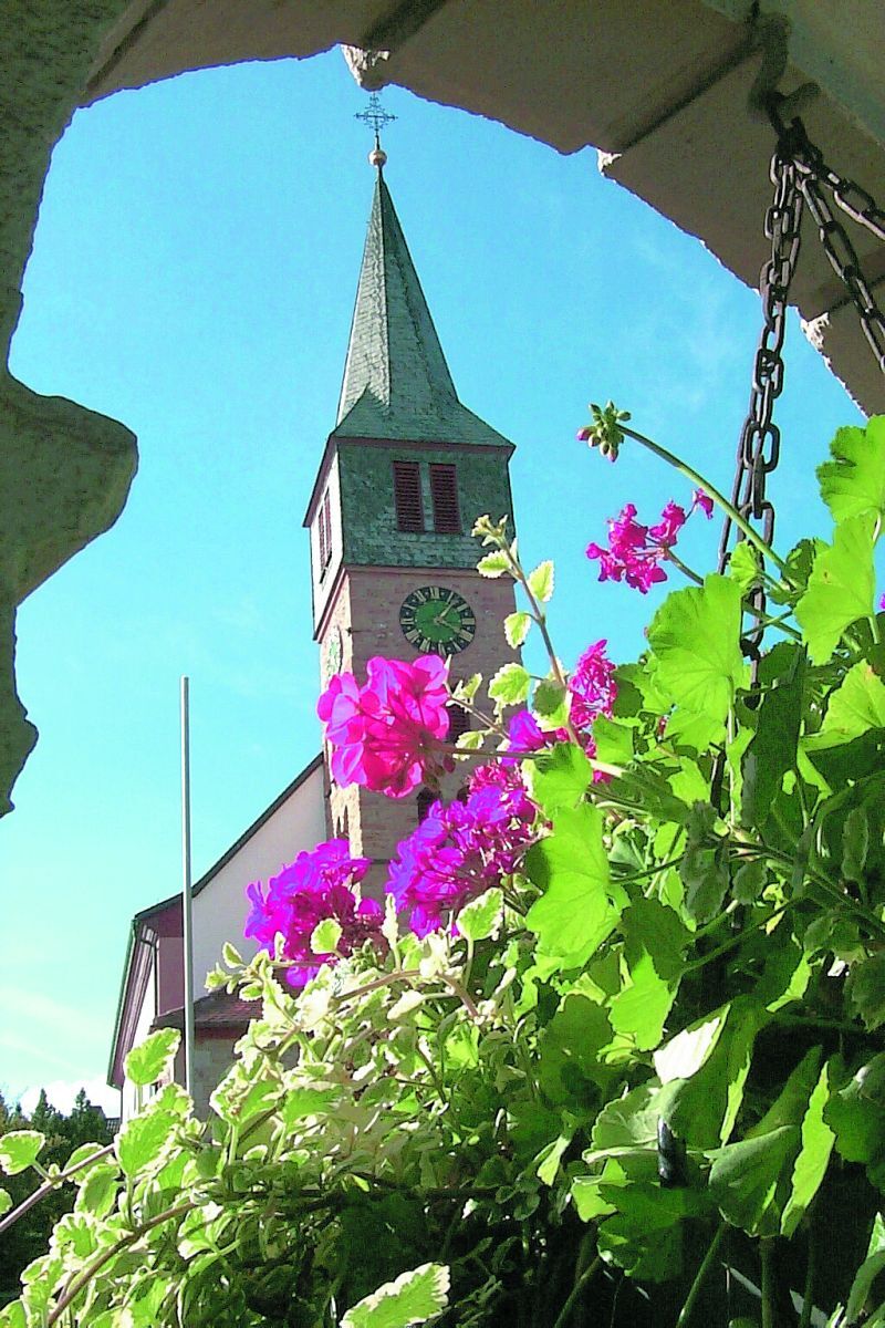
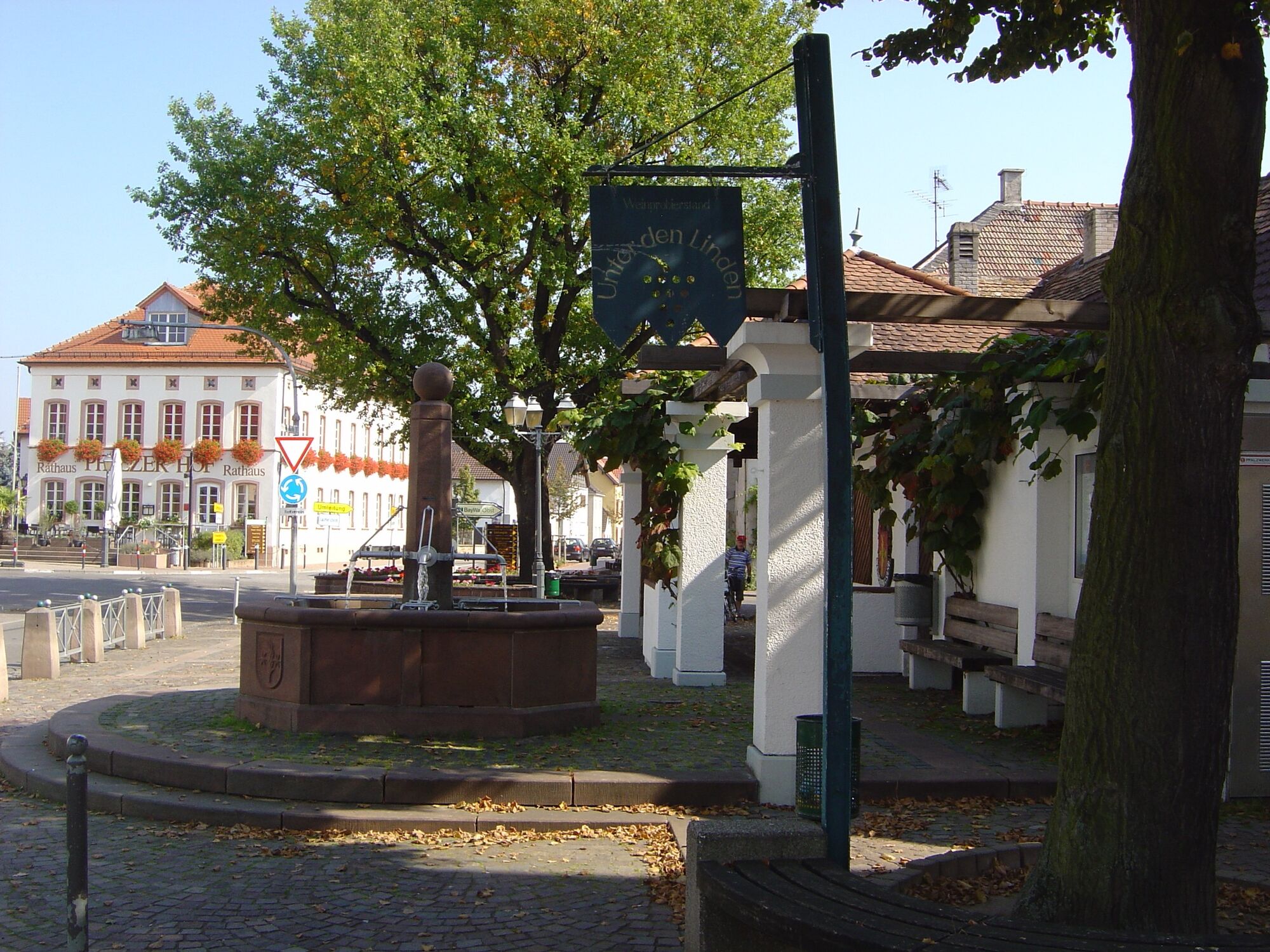
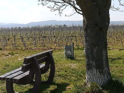

The starting point is the car park at the cemetery. From here, walk in a northeast direction, first turn left after about 300 m, then right again after 200 m. The path zigzags through the district of Weisenheim am Sand back to the starting point.
Sturdy footwear and clothing appropriate to the weather.
The route often runs on so-called agricultural roads. These serve agricultural use and are used all year round by tractors and harvesting machines. Please note that use of the paths is at your own risk and we ask for mutual consideration in the interest of all. The agricultural roads may be soiled by agricultural traffic. After rainy days and especially in winter, the paths may be wet and slippery.
From the north:
Motorway A6 (Mannheim/Kaiserslautern, Grünstadt exit) towards Bad Dürkheim, on B271 (German Wine Route) via Herxheim am Berg to Freinsheim. On the bypass road at the 2nd roundabout towards Weisenheim am Sand. At the roundabout in the village centre take the 3rd exit (Gerolsheimer Straße), follow the signs for the cemetery.
From the north from Laumersheim / Dirmstein:
immediately turn left into Friedrichstraße after entering the village, then immediately left again into Gerolsheimer Straße, follow the signs to the cemetery.
From the south:
Motorway A61 at the Ludwigshafen junction towards Bad Dürkheim. Exit Maxdorf. At the roundabout take 2nd exit towards Maxdorf. At the next roundabout take 2nd exit towards Weisenheim/Sd. Drive up Bahnhofstraße to the roundabout in the village centre, here take 2nd exit (Gerolsheimer Straße), follow the signs to the cemetery.
From the east: from Frankenthal / Lambsheim:
at the roundabout in the village centre take the 1st exit (Gerolsheimer Straße), follow the signs to the cemetery.
Weisenheim am Sand railway stop - timetable information www.vrn.de
about 1.2 km walk to the start point of the route (turn right into Bahnhofstraße, at the Obertor roundabout take 2nd exit Gerolsheimer Straße to the edge of the village)
Car park at the cemetery (Gerolsheimer Straße)
Urlaubsregion Freinsheim, i-Punkt Kallstadt, Tel: 06322/667838, www.urlaubsregion-freinsheim.de
After the round walk, the Weisenheim gastronomy invites you to stop for refreshments.
Oblíbené prohlídky v okolí
- 4.1
Ganerbenweg - Premium circular hiking route in the Freinsheim holiday region
středníTuristika 10.5 km - 4.5
Wachenheimer Valleys Route to Oppauer Haus
středníTuristika 11.7 km Wachenheim - Eckkopf - Heidenlöcher - Wachenheim
středníTuristika 12.8 km- 5.0
Circular route through forest and vineyard: Weisenheim am Berg - "Wine, Forest, Ungeheuer"
středníTuristika 12.5 km - 3.5
Thomas‘ Waldweinstube über die Wachtenburg
světloTuristika 4.81 km - 4.0
Palatinate Wine Steig Stage 03 Bad Dürkheim - Deidesheim
střednídálková pěší trasa 15.2 km - 4.3
Zwei-Burgen Tour Battenberg
středníTuristika 5.43 km - 5.0
Palatinate Wine Trail Stage 01 Bockenheim - Neuleiningen
střednídálková pěší trasa 17.0 km - 5.0
Palatinate Wine Trail Stage 02 Neuleiningen - Bad Dürkheim
střednídálková pěší trasa 17.6 km Wine hike: Kallstadt - Rieslingweg
světloTuristika 6.57 km
Pěší turistika a stopování


Nenechte si ujít nabídky a inspiraci pro vaši příští dovolenou
Vaše e-mailová adresa byl přidán do poštovního seznamu.





