







WaterKnowledgeHike at the Steinbach dam
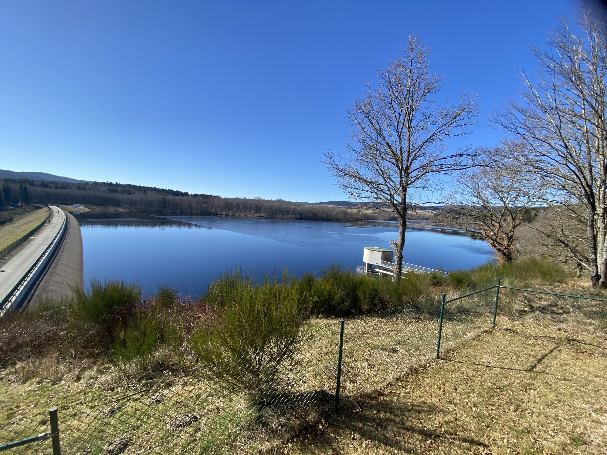
Despite its length of just 1.5 km, the newly designed circular hiking trail has a lot to offer. At 5 stations, there are interesting facts in words, pictures and sound about the development of the regional...
Despite its length of just 1.5 km, the newly designed circular hiking trail has a lot to offer. At 5 stations, there are interesting facts in words, pictures and sound about the development of the regional climate, fish populations in the reservoir, noble crayfish, etc. In addition, the adjacent WasserWissensWerk offers everything to do with water. In addition to the child-friendly exhibition, the so-called "Blue Classroom" offers kindergartens, schools etc. the opportunity to actively engage with the topic of water. The WasserWissensWerk also has an outdoor playground, which of course also deals with the topic of water. The highlight of the tour is certainly the walk over the top of the dam. From here, you can experience sights worth seeing in both directions. On the one hand, you have a beautiful overview of the reservoir, and on the other, you can see the treatment plant, which you have already learned about at the WasserWissensWerk.
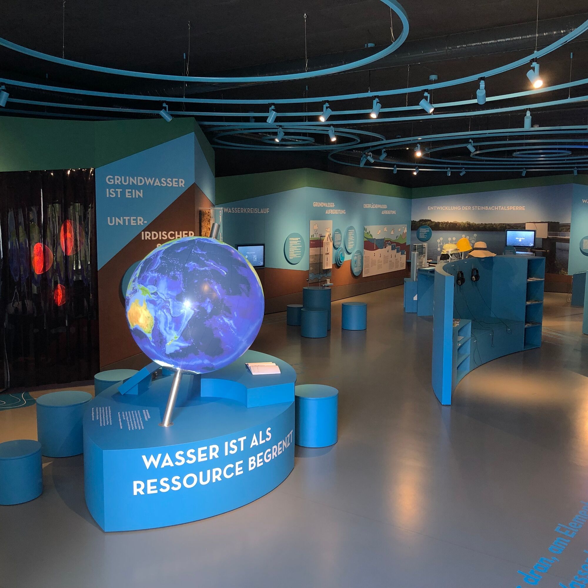
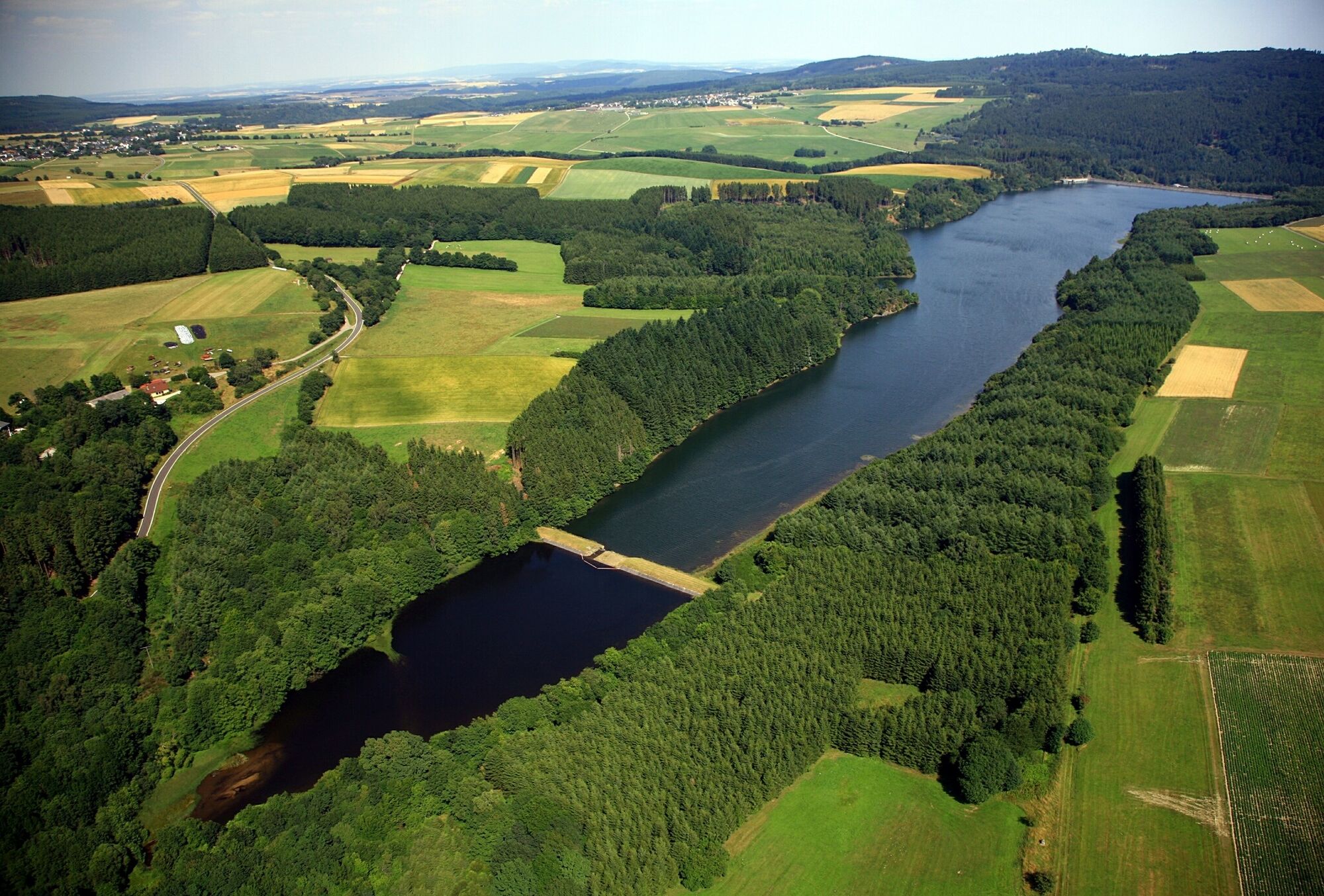
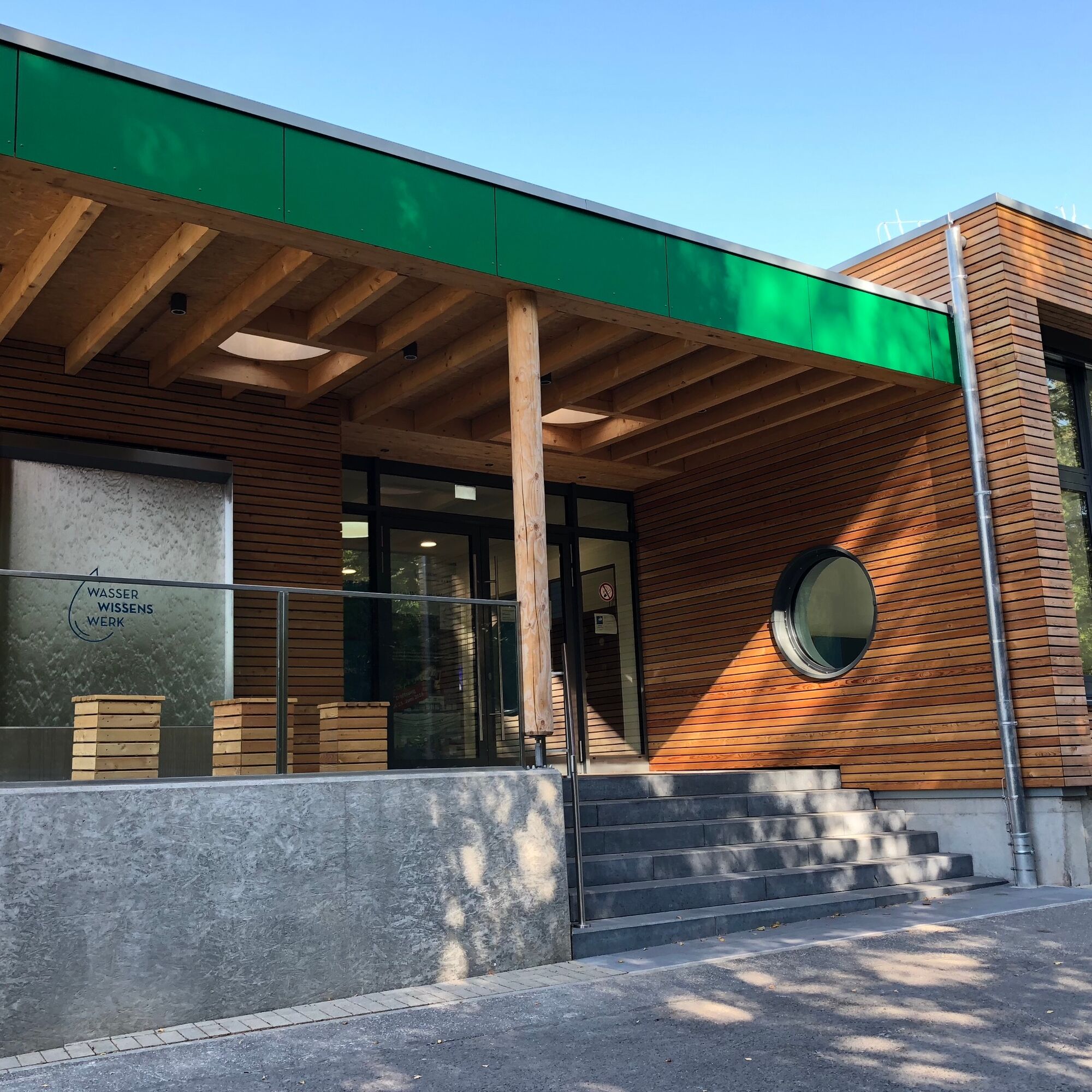
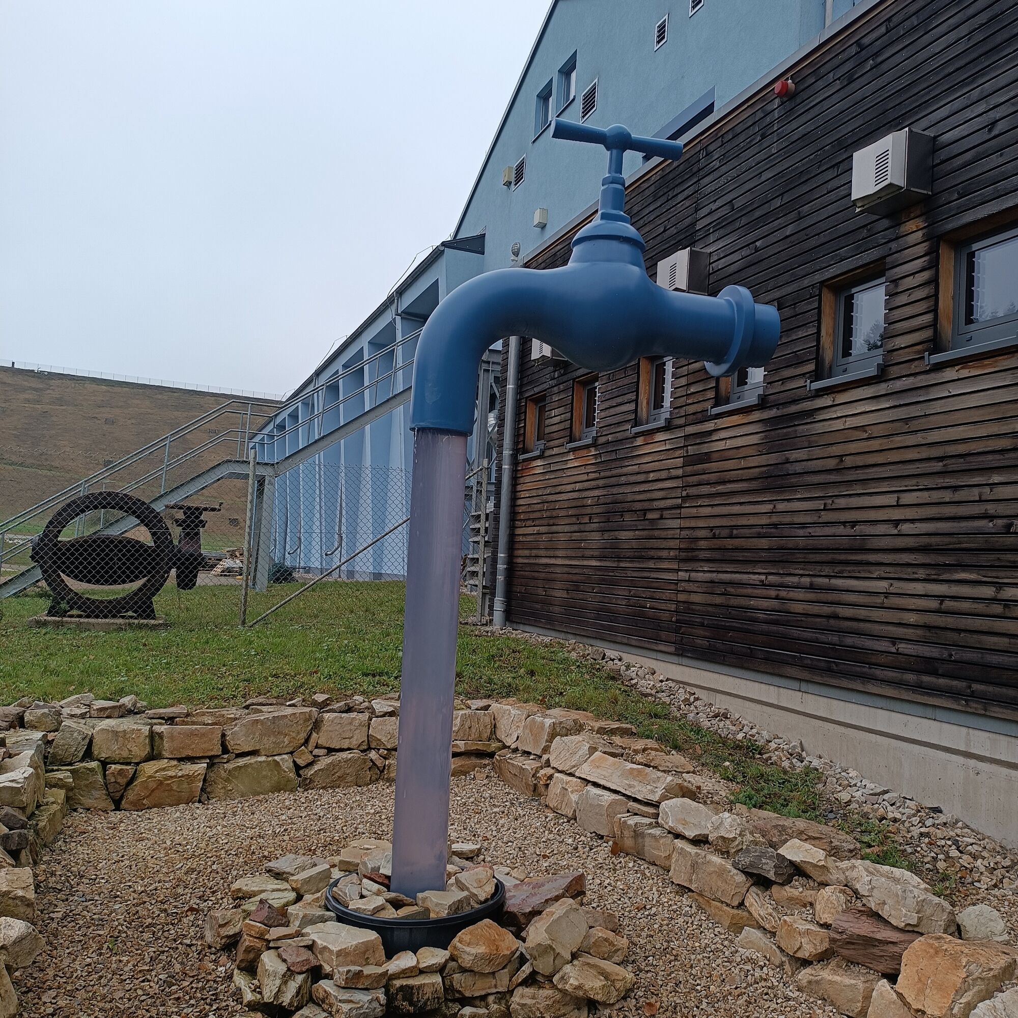
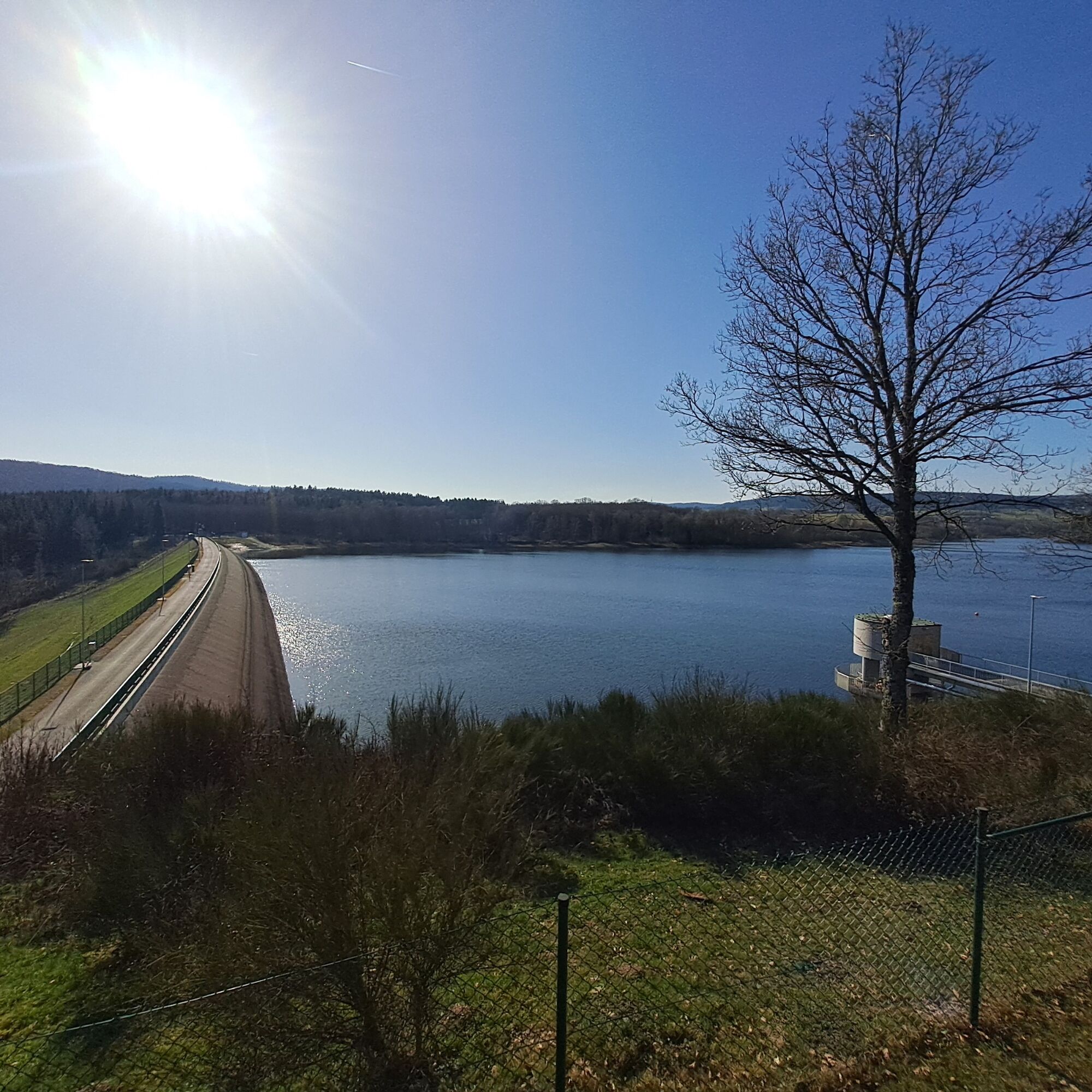
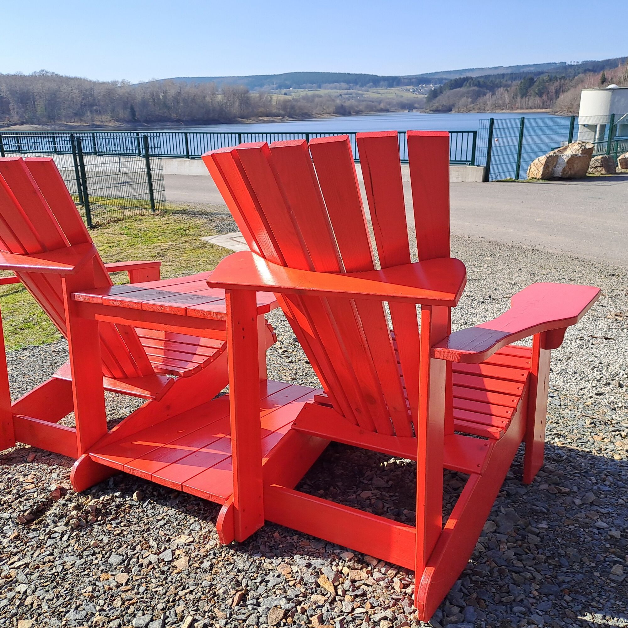

The 1.5 km short hike starts at the water knowledge plant and takes us uphill to the viewing platform above the dam. From here you go back a little before you reach the dam crest. At the end of the dam crest the path leads over the dam fortifications down to the start of the tour.
Ano
Ano
No equipment is necessary for the short hike.
The circular hiking trail has some steep, difficult sections that can be slippery in rainy or winter weather. Therefore, hiking boots and surefootedness are an advantage.
Coming from Kirn and Birkenfeld, take the B422 from Idar-Oberstein in the direction of Allenbach. Once you reach Katzenloch, take the L178 to the junction with WasserWissensWerk. Coming from Morbach, take the B269 to the B422 junction via Allenbach to Katzenloch.
You can reach the WasserWissensWerk from the train station in Idar-Oberstein via three bus routes. Route 800 to Trier and 845 to Morbach give you the opportunity to get to the bus stop in Katzenloch every hour. Route 840 to Wittlich runs every 2 hours.
There is a gravel parking lot directly in front of the site, which has plenty of spaces. From here, it is just a few minutes' walk to the start of the tour.
www.wasserwissenswerk.de
In the immediate vicinity is the Wildenburg wildlife enclosure, which is worth a visit.
Oblíbené prohlídky v okolí
- 5.0
Traumschleife Hunolsteiner Klammweg
heavyTuristika 11.9 km - 4.7
Dream Loop "Köhlerpfad am Steinbach"
středníTuristika 13.4 km - 4.3
Dream loop "Medieval Path"
středníTuristika 8.46 km - 5.0
National Park Dream Loop "Kirschweiler Festung"
středníTuristika 9.08 km - 4.0
Dream loop "Nahe Rock Trail"
heavyTuristika 8.98 km - 3.0
Dream Loop "Between the Forests"
středníTuristika 10.7 km - 5.0
Ölmühlen Traumschleife
středníTuristika 7.95 km - 4.3
Hunsrückhaus - Erbeskopf - Gottlob - Springenkopf
středníTuristika 7.29 km Dream Loop "Gemstone Grinder's Path"
středníTuristika 16.0 km- 4.5
Dream loop "Around the Kama"
světloTuristika 6.18 km
Pěší turistika a stopování


Nenechte si ujít nabídky a inspiraci pro vaši příští dovolenou
Vaše e-mailová adresa byl přidán do poštovního seznamu.





