


Medical spa hiking route MK II - red
Fotografie našich uživatelů
-
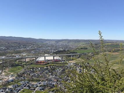
 © Albert KlapperichVytvořeno dne 08.04.2026
 -
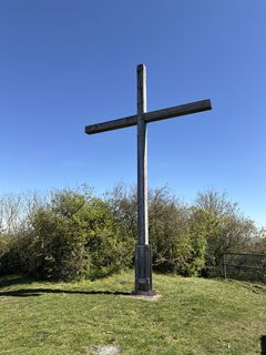
 © Albert KlapperichVytvořeno dne 08.04.2026
 -
 © Albert KlapperichVytvořeno dne 08.04.2026
 -

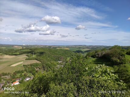
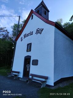
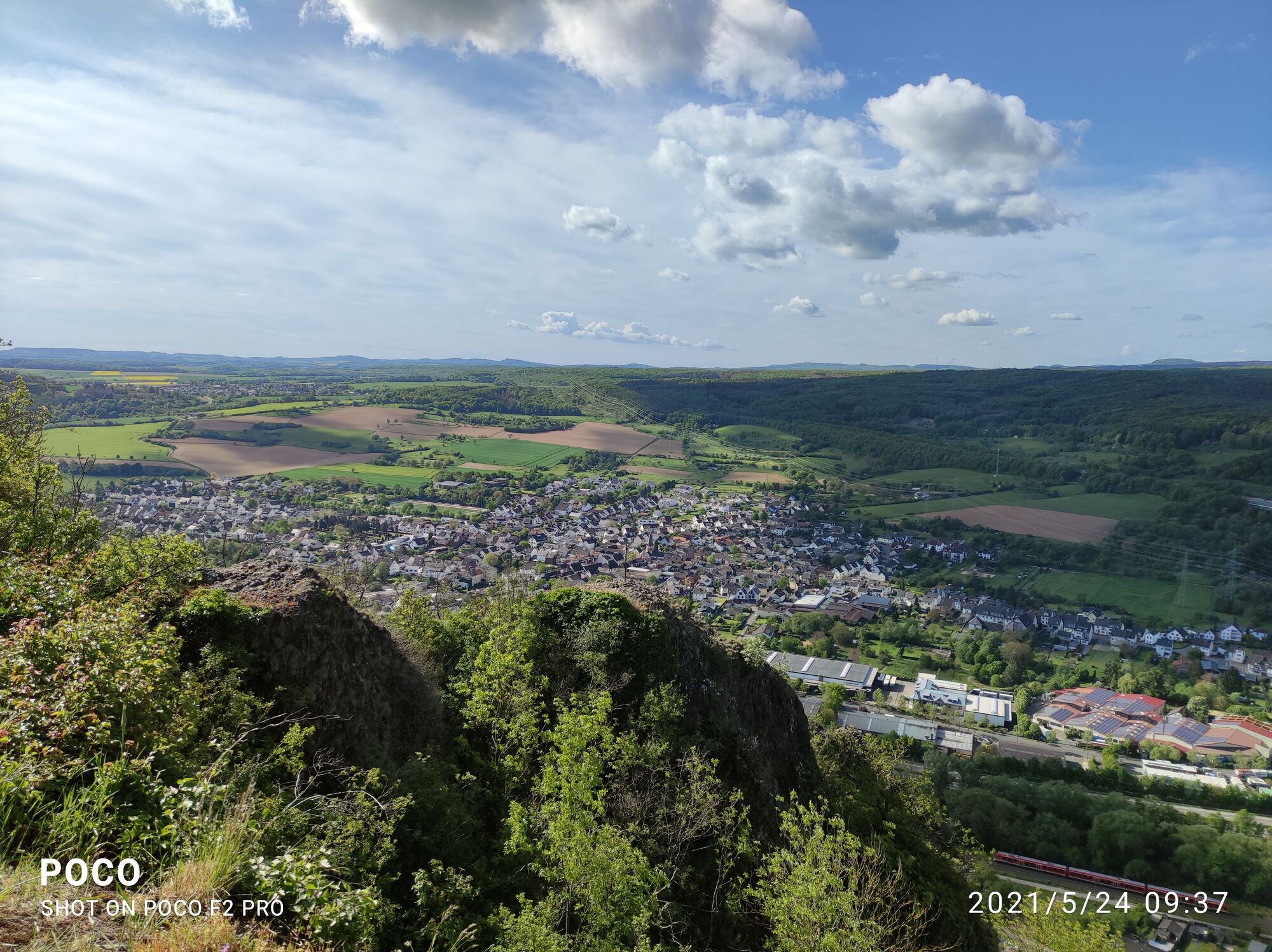
 © Edit SzoboszlayVytvořeno dne 24.05.2021
 -
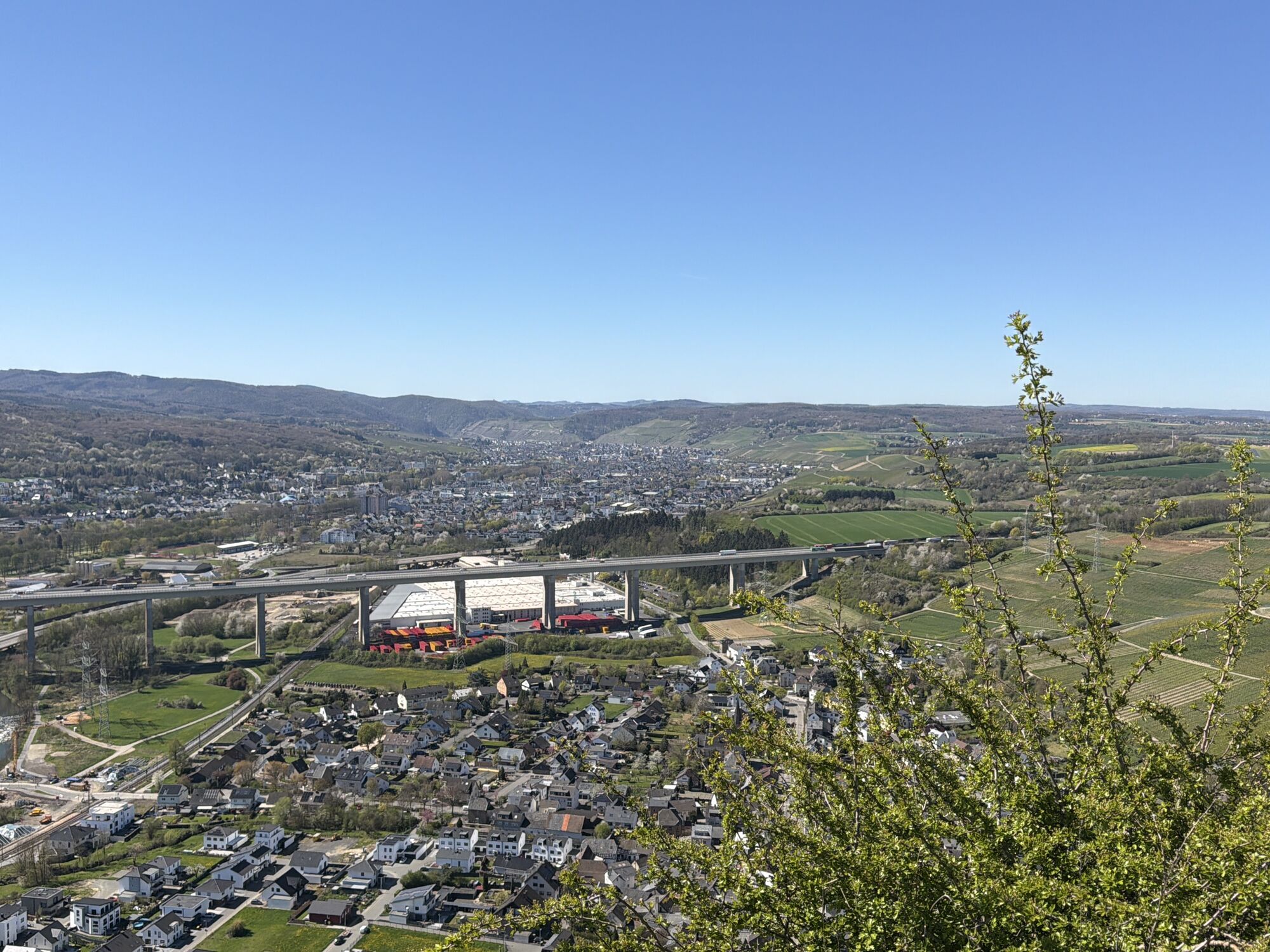
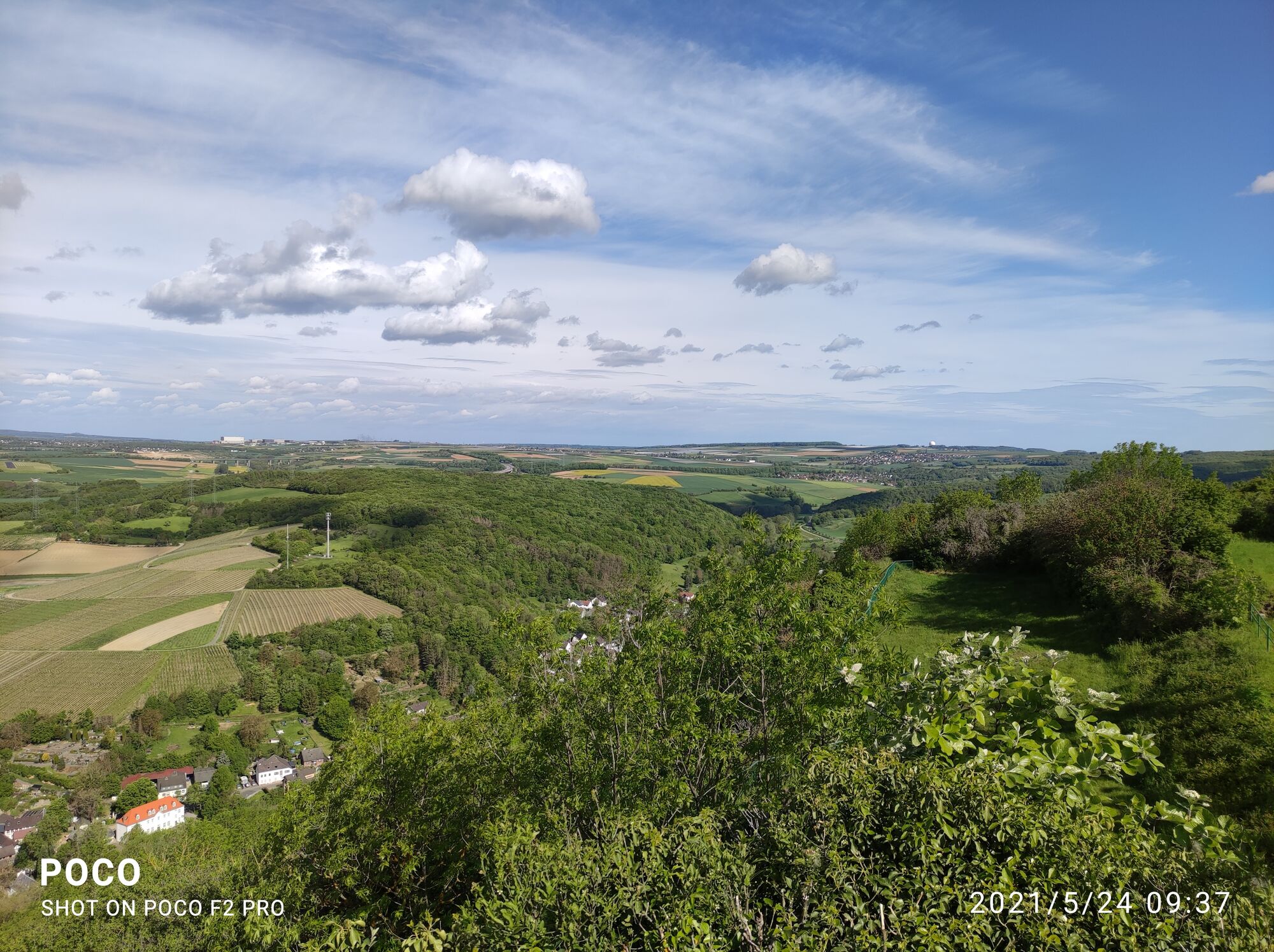
 © Edit SzoboszlayVytvořeno dne 24.05.2021
 -
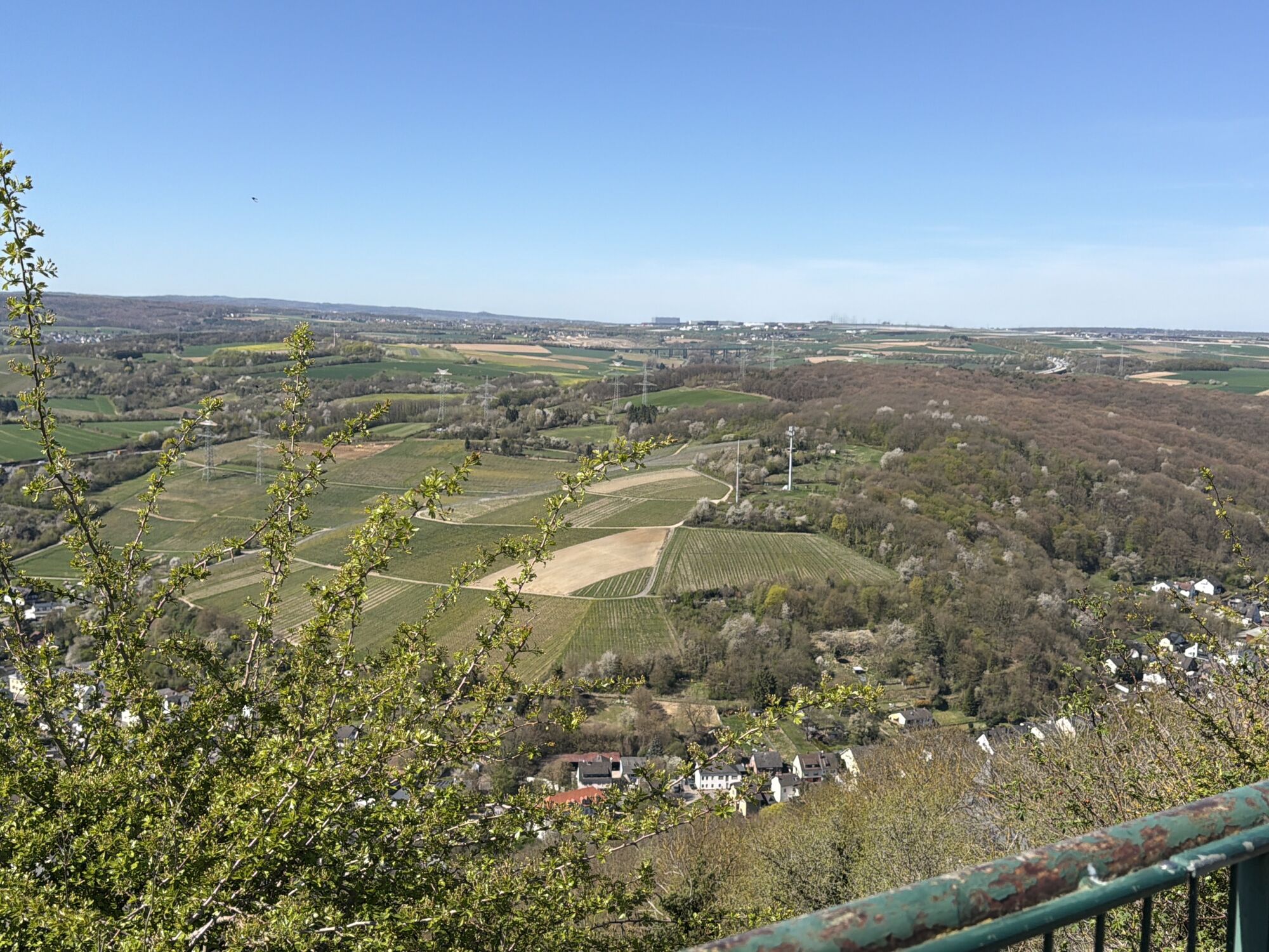
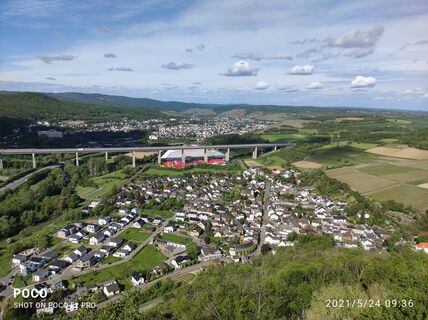 © Edit SzoboszlayVytvořeno dne 24.05.2021
 -
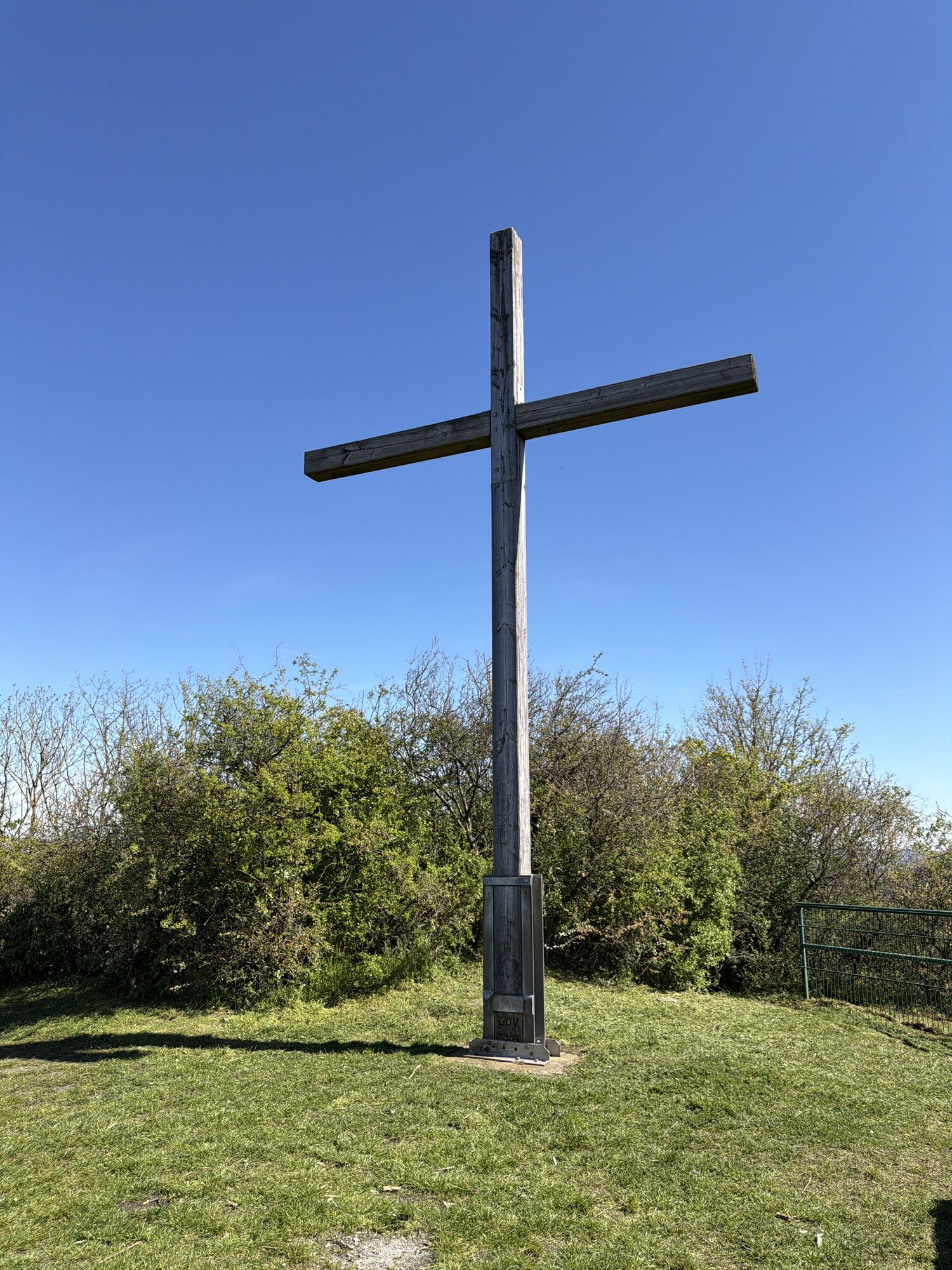
 © Edit SzoboszlayVytvořeno dne 24.05.2021


These are often also called terrain hiking routes and are excellently suited for health-oriented hiking.
The differentiation of the load levels is color-coded and corresponds to the loads listed below....
These are often also called terrain hiking routes and are excellently suited for health-oriented hiking.
The differentiation of the load levels is color-coded and corresponds to the loads listed below. The start of all paths is at Kurpark Bad Neuenahr.
Yellow routes
easy, up to 50 W for 15 min
Through the Bad Neuenahr parks (MK I)
To the Josefsbrücke in Walporzheim (MK II) (not yet passable due to flooding)
Along the Ahr to Heimersheim (MK III) (not yet passable due to flooding)
Blue routes
medium, 50 to 100 W for 20 min
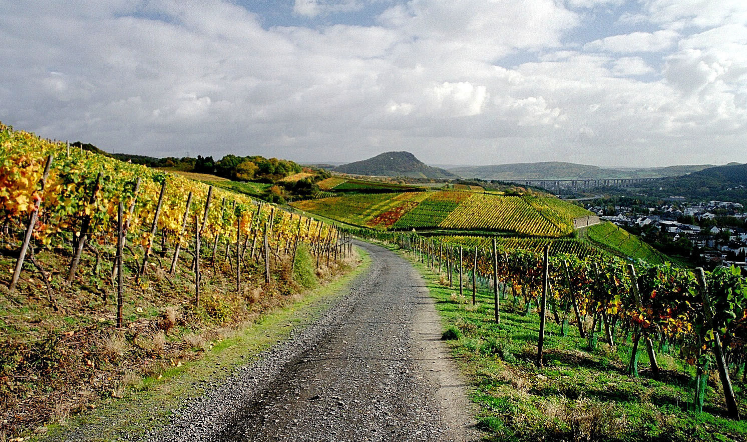
To the Lourdes Chapel and through Bachem vineyards (MK I)
Around the Maibach farm in Ahrweiler (MK II)
Over the Steckender to the climate station (MK III)
Red routes
hard, over 100 W for at least 15 min
Over the Neuenahr mountain (MK I)
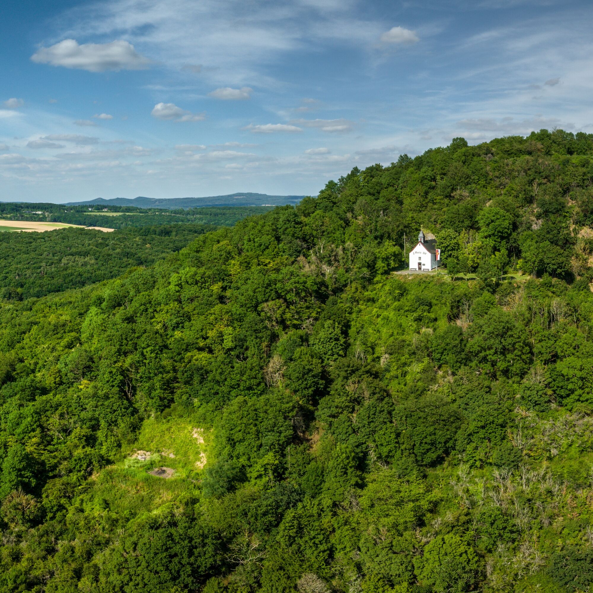
To the ruins of Landskron Castle (MK II)
To the Bunte Kuh viewing pavilion (MK III) (not yet passable due to flooding)
To the Katzley viewing pavilion (MK IV) (not yet passable due to flooding)

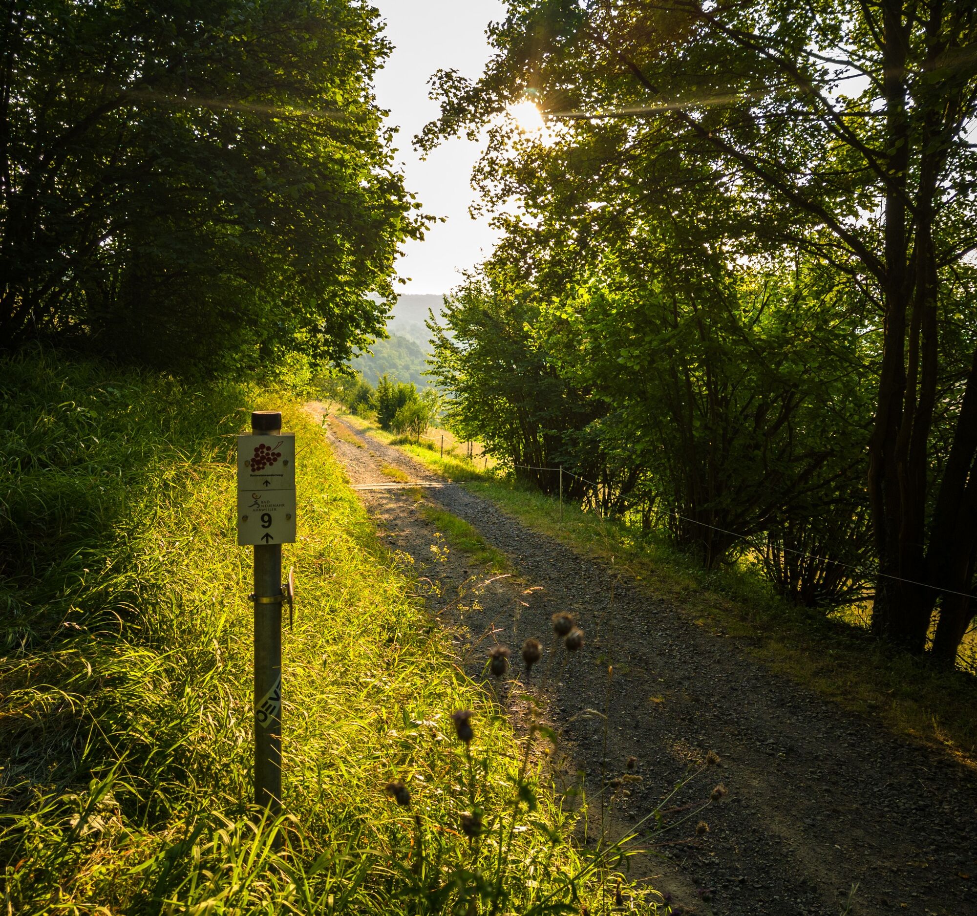
TO THE LANDSKRON CASTLE RUINS MK 2 Red
Kurpark – Kurgartenbrücke – along the Ahr to Heimersheim and Heppingen – Gimmigen – ascent to the ruins of Landskron Castle – switchbacks – Bonner Straße – along the Ahr back to the Kurpark
Sturdy footwear.
There are no special safety instructions.
Via motorway 61 or federal highway 257 via motorway 61 or federal highway 257
Ahrtal Railway and bus connection
Several paid parking spaces are available at the station and in the town.
The ruins of Landskron Castle are a High Middle Ages hill castle. It was the ancestral seat of the burgraves of Landskron and played an important role during the Middle Ages in the conflicts between the Staufen and Welf dynasties.
Oblíbené prohlídky v okolí
-
4.6
Drachenfängerrunde
středníTuristika 11.8 km -
5.0
Rundweg Breiberge, Logebachtal, Tretschbachtal
Turistika 19.8 km -
4.0
Siebengebirge über 7 Berge
středníTrailrunning 24.2 km -
Wolkenburg und Nonnenstromberg
Turistika 13.0 km -
4.0
Teufelsloch-Höhenwanderung
středníTuristika 7.44 km -
4.9
Sieben auf einen Streich (Skiclub Bad Honnef, GeneralAnzeiger Bonn)
středníTuristika 24.5 km -
5.0
Round route Bad Neuenahr No. 5 - Through the Ramersbach Forest
středníTuristika 9.31 km -
Weinwanderung Dernau nach Ahrweiler
Turistika 23.4 km -
4.7
Rundwanderung Rech / Steinerberg
středníTuristika 14.2 km -
5.0
Königswinter, Drachenfels, Löwenburg, Tretschbachtal, Rommersdorf
středníTuristika 12.6 km
Pěší turistika a stopování


Nenechte si ujít nabídky a inspiraci pro vaši příští dovolenou
Vaše e-mailová adresa byl přidán do poštovního seznamu.