






Medical spa trail MK II blue
These are often referred to as terrain hiking trails and are ideal for health-oriented hiking.
The differentiation of the levels of exertion is color-coded and corresponds to the exertions listed below....
These are often referred to as terrain hiking trails and are ideal for health-oriented hiking.
The differentiation of the levels of exertion is color-coded and corresponds to the exertions listed below. All trails start at the Bad Neuenahr spa gardens.
Yellow routes
easy, up to 50 W for 15 min
Through Bad Neuenahr parks (MK I)
To the Josefsbrücke bridge in Walporzheim (MK II) (not yet accessible due to flooding)
Along the Ahr to Heimersheim (MK III) (not yet accessible due to flooding)
Blue routes
medium, 50 to 100 W for 20 min
To the Lourdes Chapel and through Bachem vineyards (MK I)
Around the Maibach farm in Ahrweiler (MK II)
Over the Steckender to the climate station (MK III)
Red routes
difficult, over 100 W for at least 15 min
Over the Neuenahrer Berg (MK I)
To the Landskrone castle ruins (MK II)
To the Bunte Kuh viewing pavilion (MK III) (not yet accessible due to flooding)
To the Katzley viewing pavilion (MK IV) (not yet accessible due to flooding)
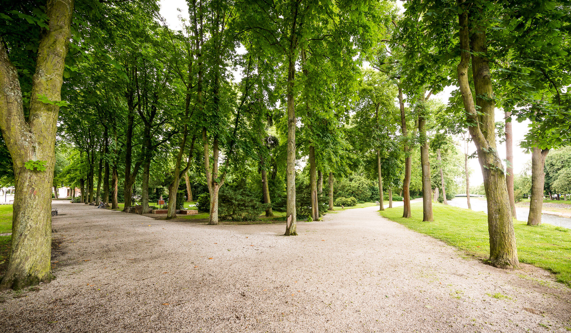
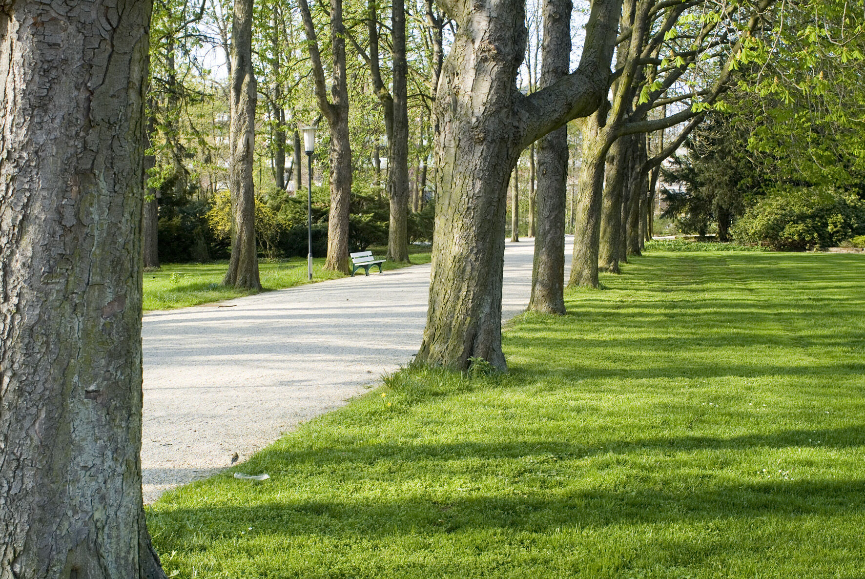

AROUND THE MAIBACHFARM IN AHRWEILER MK 2 (blue)
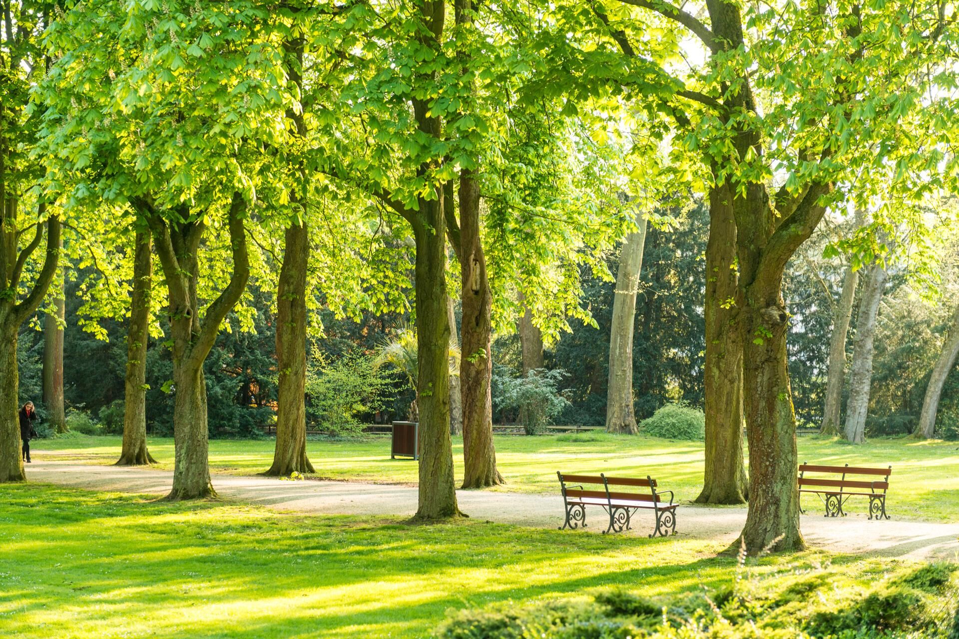
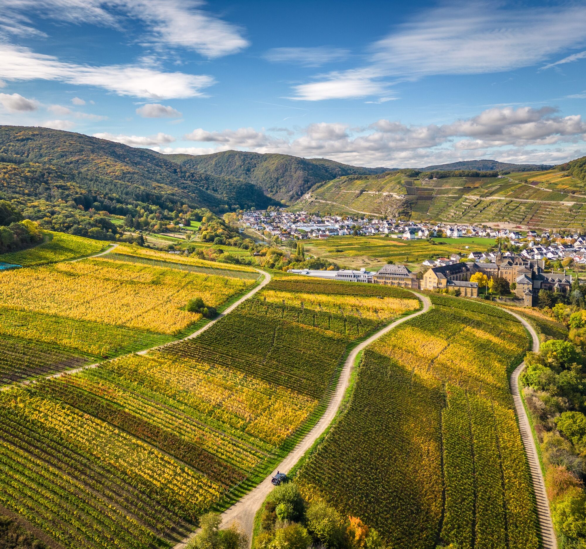
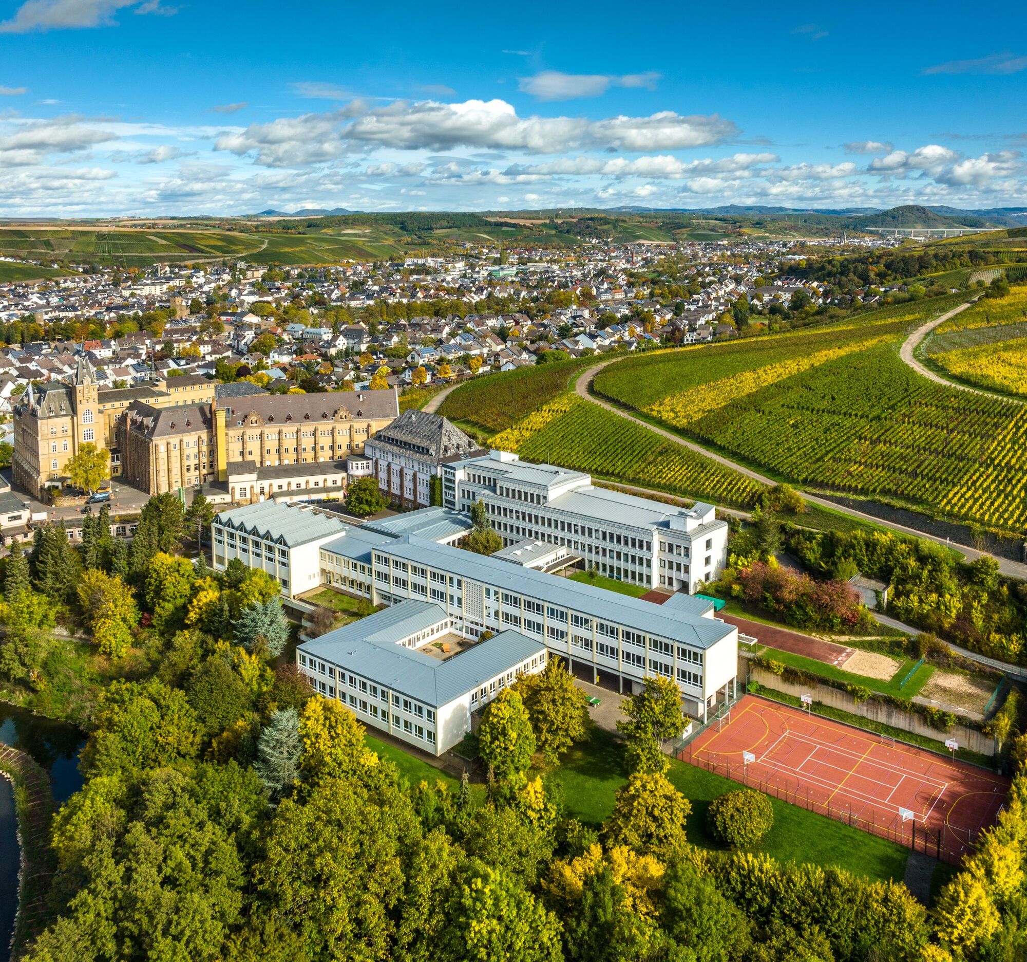
Kurpark - Kurgartenbrücke - Kaiserin-Auguste-Viktoria-Park - Amseltalbrücke - along the Ahr - Ahrtal-Jugendherberge - Obstwiese Bachem - pedestrian bridge - Gierenzheimer Straße - Ahrtorbrücke - Kloster Calvarienberg - Maibachtal pedestrian bridge - Gierenzheimer Straße - Ahrtorbrücke - Calvarienberg Monastery - Maibachtal - Maibachfarm - Kurpark
Ano
Sturdy shoes
There are no safety instructions.
Via the highway 61 or the federal highway 257
Ahrtalbahn or bus connection
There are several paid parking spaces available at the station and in the city.
Maibachfarm is known as one of the outstanding wineries on the Ahr. The winery stands for organic wines from the Ahr. From August to October, the Maibachfarm wine tavern is open with various dishes and wine tastings.
Získejte přehled Vždy živě na místě s více než 9 500 webkamerami. bergfex Jako uživatel Pro si nyní můžete zobrazit odpovídající webové kamery pro mnoho prohlídek v aplikaci prohlídky z. Můžete si tak přímo prohlédnout aktuální podmínky. Oblíbené prohlídky v okolí
- 4.0
Teufelsloch-Höhenwanderung
středníTuristika 7.44 km - 5.0
Round route Bad Neuenahr No. 5 - Through the Ramersbach Forest
středníTuristika 9.31 km Weinwanderung Dernau nach Ahrweiler
Turistika 23.4 km- 4.7
Rundwanderung Rech / Steinerberg
středníTuristika 14.2 km Burg Are - Engelsley Nord - Süd und im Tal zurück
heavyHorská turistika 3.63 km- 5.0
Leichte Rund-Wanderung Dernau / Mayschoß
světloTuristika 5.46 km - 3.5
Rund um die Safenburg
světloTuristika 8.10 km Kasbachtal
světloTuristika 10.2 km- 5.0
Rund um Mayschoß und Altenahr
středníTuristika 17.3 km - 5.0
AhrSteig Etappe 5: Kreuzberg-Walporzheim
dálková pěší trasa 14.6 km

Pěší turistika a stopování


Nenechte si ujít nabídky a inspiraci pro vaši příští dovolenou
Vaše e-mailová adresa byl přidán do poštovního seznamu.





