


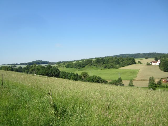
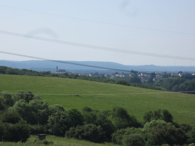
Schönenberg-Kübelberg - Ritter-Gerin-Way (circular route - 30.2 km)
Following in the footsteps of Knight Gerin, a member of the lower nobility, the hiker passes various interesting places in the region. These include medieval witnesses of legal history, but also a whole...
Following in the footsteps of Knight Gerin, a member of the lower nobility, the hiker passes various interesting places in the region. These include medieval witnesses of legal history, but also a whole range of historical and natural sights.
Exhibition in the cultural center on the history of the court of Kübelberg (open every 1st and 3rd Sunday in the month from 1:00 p.m. to 6:00 p.m., or by appointment), Celtic settlement, historic beer cellar (visit possible with a companion, booking via tourist info).
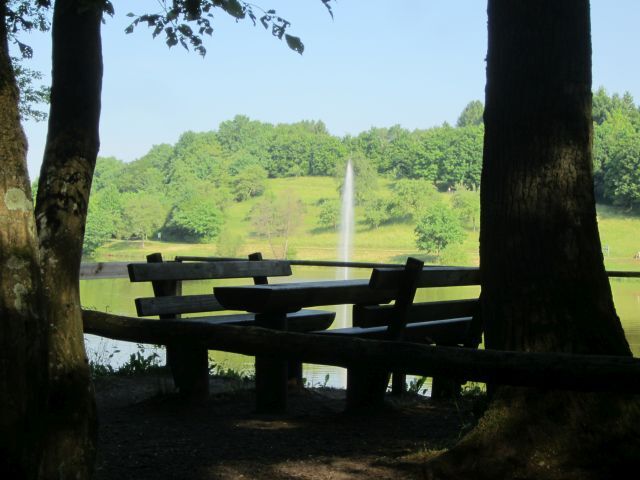
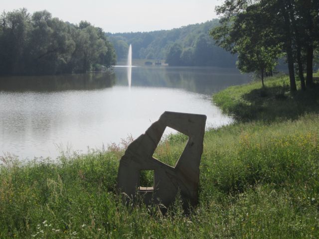
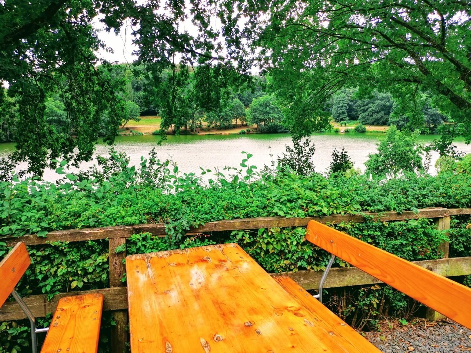
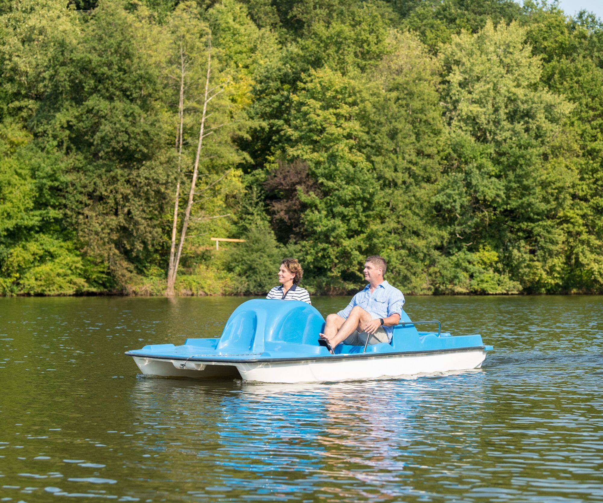
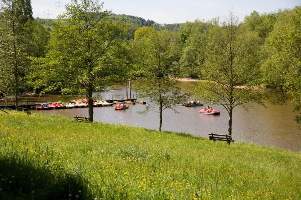
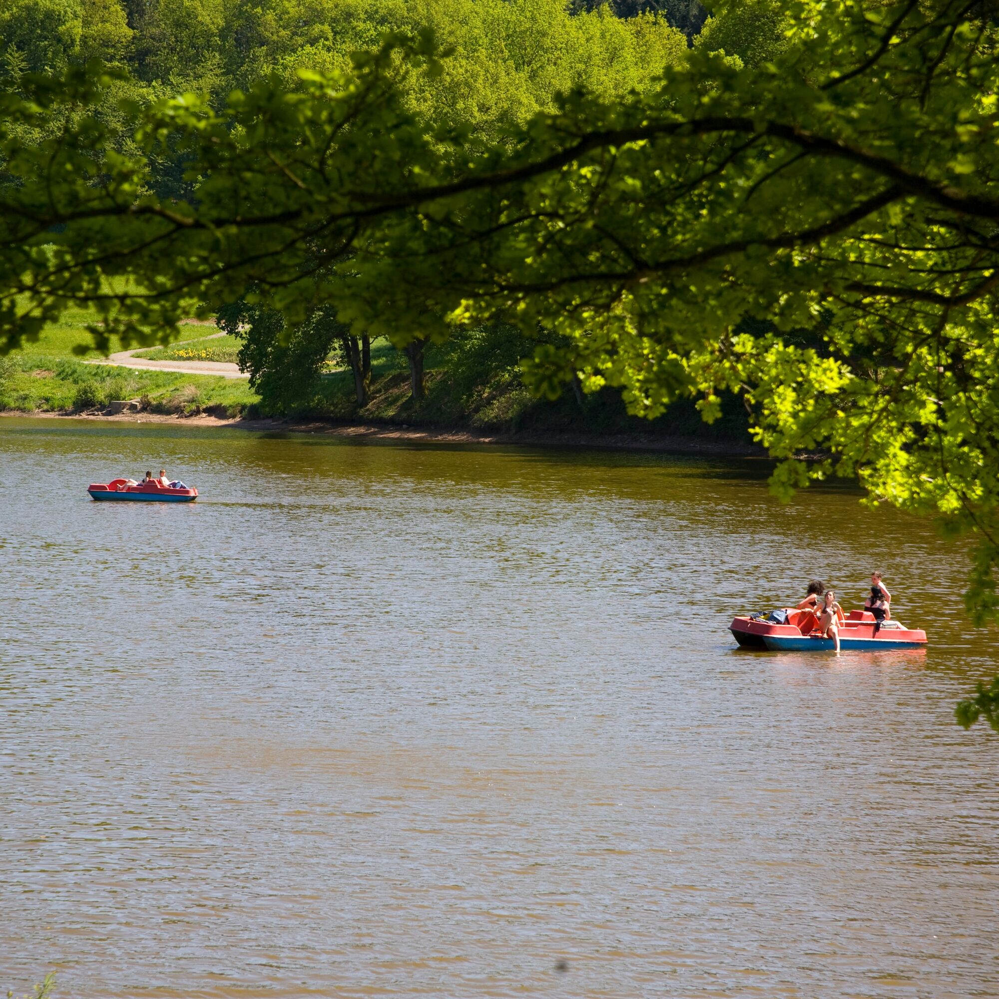
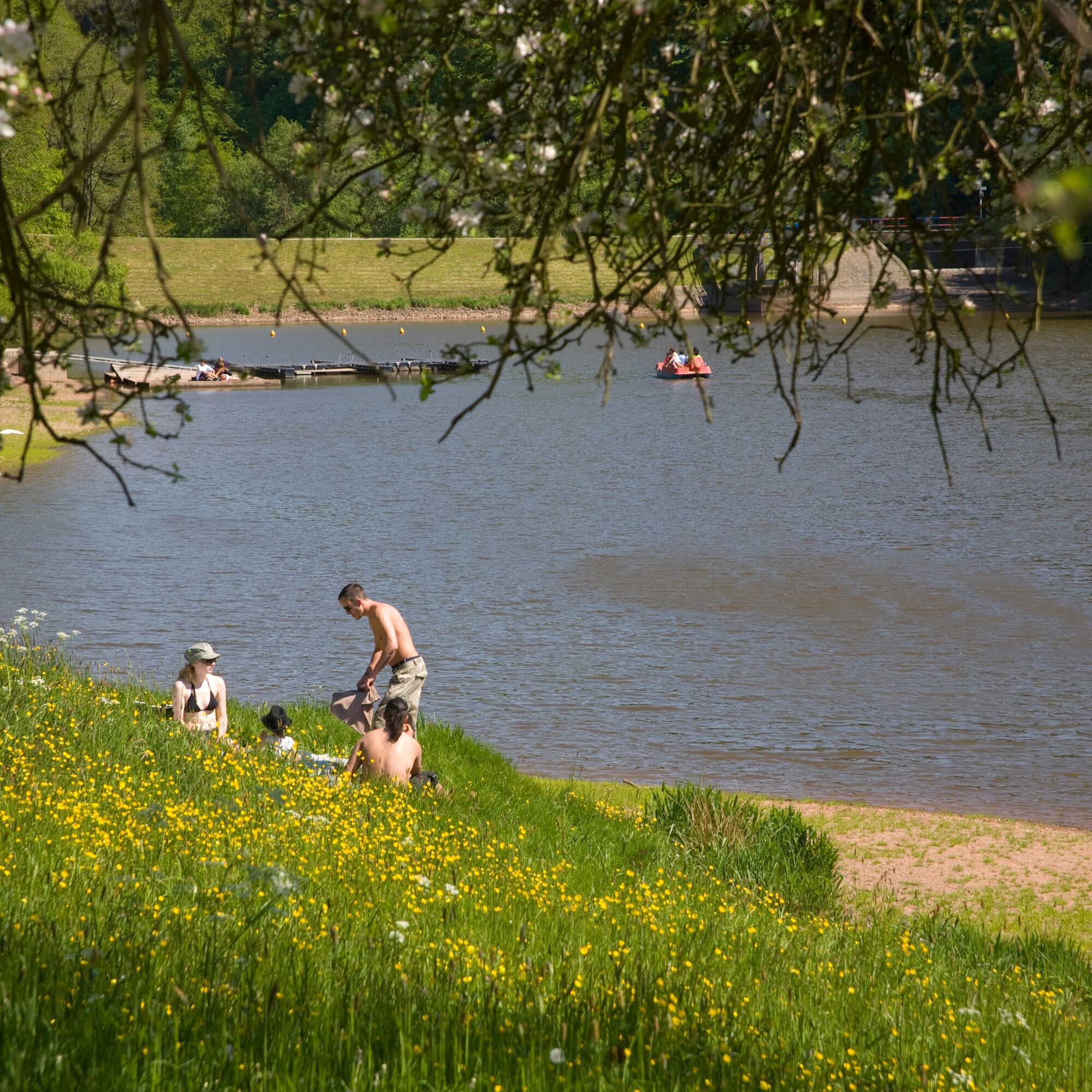
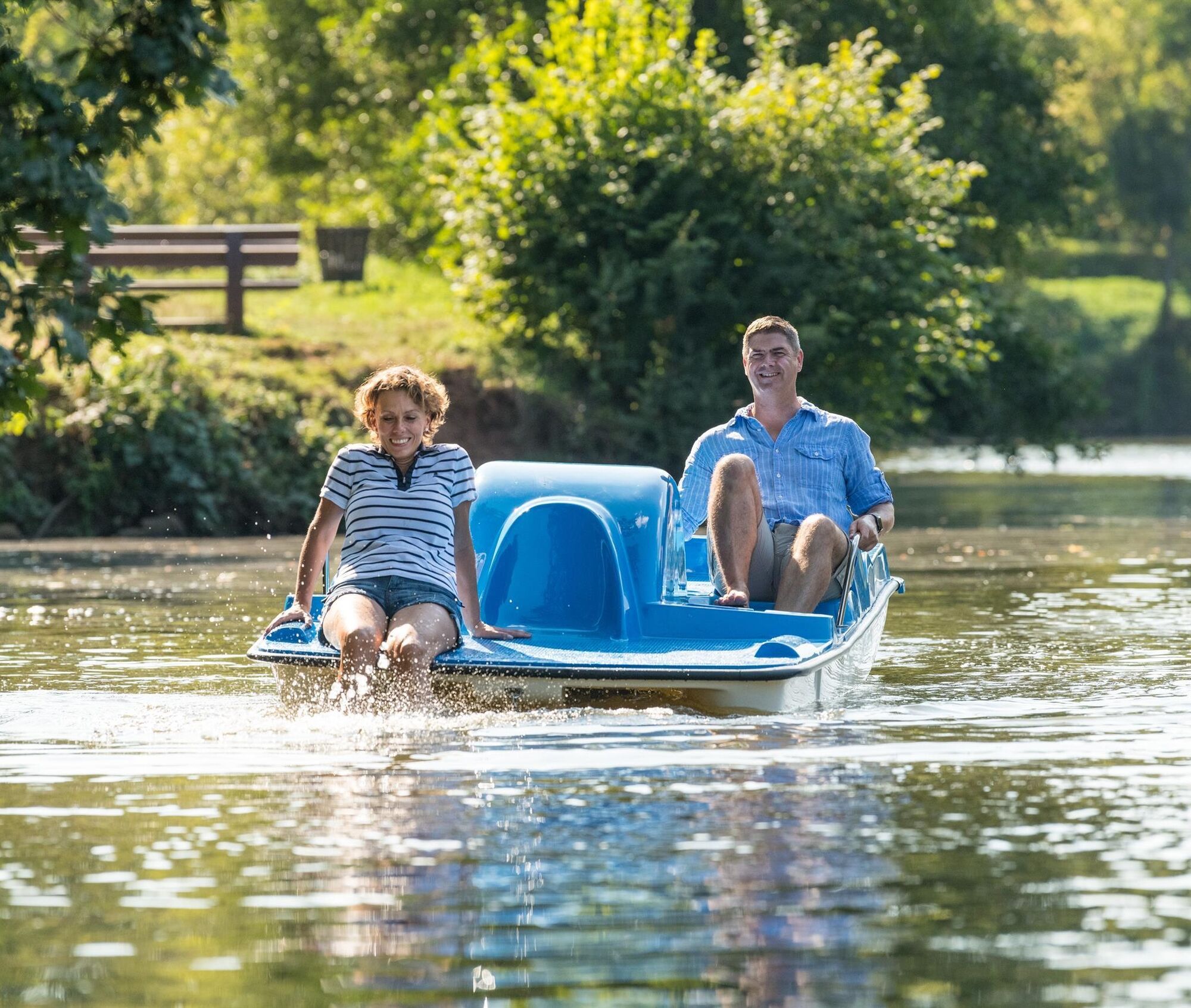
Ohmbach reservoir with 15 ha large water surface, water playground, Ohmbach reservoir camping park, barbecue areas, barbecue hut, pedal boat rental, and more.
PAY ATTENTION! - Campaign for respectful coexistence in nature
- Always behave cautiously, kindly, and considerately towards everyone you meet on the way.
- Respect nature, do not destroy plants and always stay on the paths.
- Remember a trash bag for the way and take your waste back home.
- Please keep your dog on a leash at all times. Other visitors and animals will thank you.
- For your own safety, observe all path closures. Even on weekends.
- Park only in designated parking spaces. Leave space for rescue routes and agricultural machinery.
- Give priority to agricultural and forestry traffic.


The path is marked with the helmet logo.
Schönenberg-Kübelberg (village square, Kübelberg district) - Saarbrücker Straße - Herzogstraße - Stegwooger Weg - Pump station - Fountain - B 423 - Straße Am Kübelberg - Sports ground - Schmittweiler (Waldmohrer Weg) - Betzenweg - Höcherbergstraße - Lindenstraße - Elmerthof - Schönenberg-Kübelberg (Schmittweilerstraße) - Kloingenmühle - Huberweg - Paulengrund - L 355 - K 6 - Bridges (Industriestraße) - Radio mast - B 423 - Schönenberg-Kübelberg (Ziegelberg) - Hölzelhof - K 8 - Börsborn (Straße Lebecksmühle) - Settlement street - Lebecksmühle - Bridges (Rechentaler Weg) - Bahnhofstraße - Ohmbach reservoir - K 9 - Ohmbach reservoir - L 356 - Kohlbach - Sports ground - Heidenweiher - Fountain - Schönenberg-Kübelberg (Eichelscheider Straße) - Bahnhofstraße - Bruchstraße - Talstraße - in the Peterstal - Rathausstraße - Bahnhofstraße - Glanstraße - Sports ground - Ziegelhütte - St. Wendeler Straße - In der Hohl - Saarbrücker Straße - Schönenberg-Kübelberg (village square, Kübelberg district)
Ano
For our hiking routes, we recommend the following equipment as standard:
- Sturdy footwear
- Weather-appropriate clothing
- Sun and rain protection
- Sufficient supply of food and drinks, as there are not always dining or shopping options available or open.
- Even though the paths are very well marked throughout, it is advisable for safety reasons to always carry a suitable
hiking map, so that, for example, in the event of a thunderstorm or emergency you can quickly find a safe area.
- Hiking poles recommended.
Plan for packed lunches from Monday to Friday.
General rule:
Especially in autumn, be aware that leaves lying on the ground can hide unevenness, roots, stones, or holes in the path. After thunderstorms or rainstorms, trees can still fall or branches fall afterwards. Especially in adverse weather conditions, natural paths can have muddy and slippery sections. Not all rocks or precipices are secured with ropes or railings. Surefootedness is required in places. You should expect such path impairments when hiking. If you are of the opinion that certain sections of the path are not passable for you, you should bypass them.
NOTICE:
We strive to announce all closures caused by forest work or hunting societies on this platform. Nevertheless, there are situations where hiking trails are closed and we may not have been informed. If you unexpectedly encounter a path closure or detour, please follow the instructions for your own safety.
In part, the circular route runs along the route of the Glan-Blies bike path.
or
K 9 district Sand to Gries
or makeshift stop Hutschmühle
Coordinates: Longitude 7° 21´ 53´´ / Latitude 49° 24´ 28´´
66901 Schönenberg-Kübelberg, Hutschmühle (parking lot south of Ohmbach lake)
Coordinates: Longitude 7° 23´ 32´´ / Latitude 49° 24´ 57´´
Verbandsgemeinde Oberes Glantal
Rathausstraße 8, 66901 Schönenberg-Kübelberg
Tel.: 06373/504-0
Email: poststelle@vgog.de
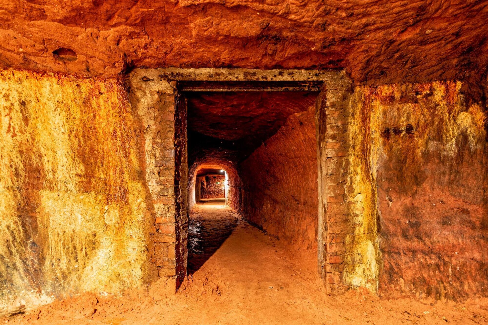
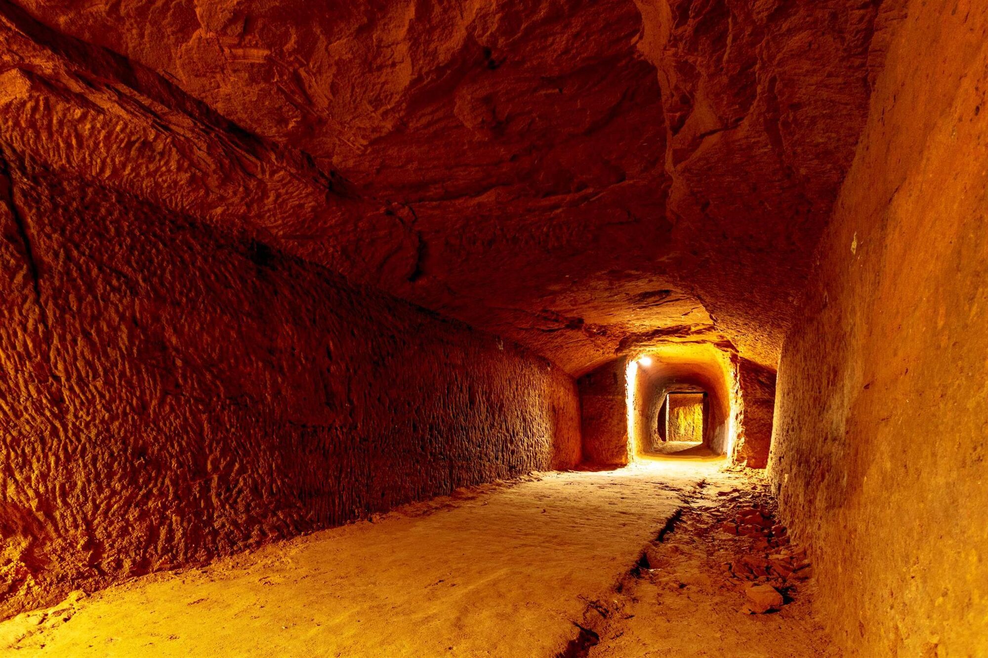
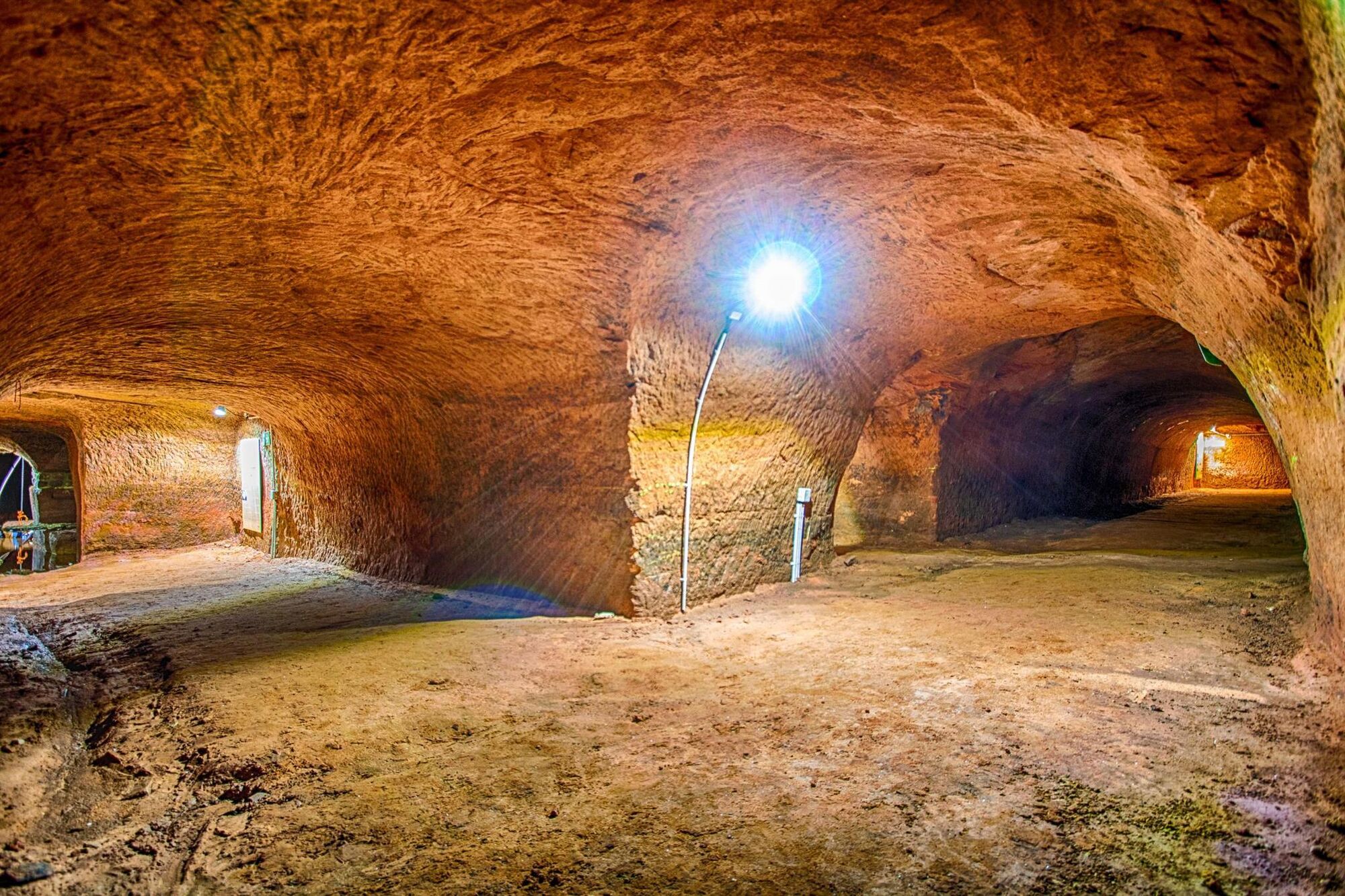
Historic beer cellar - IMPORTANT INFORMATION!
The reopening of the historic beer cellar complex will take place in spring 2024 after extensive renovation with new barrier-free access! For more information, please refer to the website of the local community of Schönenberg-Kübelberg.
(1) Hutschmühle
In the course of the construction of the Ohmbach reservoir (1974–77), the buildings of the former Hutschmühle were demolished at the end of the 1970s. For the first time, a miller is mentioned in 1592 at the so-called "Hautz Mullenn." "Hautz" derives from the Rotwelsch word for farmer. Accordingly, the mill was a farmers' mill. The mill disappeared in the chaos of the Thirty Years' War. In the records of 1736, it is stated that "due to the war events, such a mill is completely ruined and has become a pile of stones." However, it must have been rebuilt in the same year. The residents of Sand were obliged to have their grain milled at the Hutschmühle. The milling operation continued until about 1900. In addition to the residential place name "Hutschmühle," several field names still recall the old Hutschmühle today. In 1600, the "Hutschbrücke," the "Hutzwiesen" were mentioned. Above the mill, a mill weir was mentioned for the first time in 1744, i.e., the water of the Ohmbach was guided over a separate mill channel to the Hutschmühle.
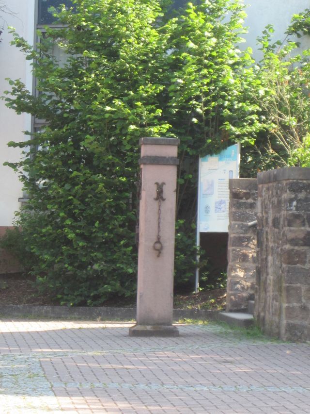
(2) Boundary stone from 1774
The boundary stone from the year 1774 was moved from its original location at the boundary between Kübelberg and Waldmohr during the construction work for the bypass road in 1975 to the Ohmbach reservoir. Shortly before the exchange of the former court of Kübelberg in 1779 from the Electoral Palatinate to the Duchy of Palatinate-Zweibrücken, the boundary was surveyed and staked again. It also documents a piece of border history. Our area lay for centuries at the border of different territories:
1st century BC – 2nd century AD: border between the Roman provinces "Belgica" and "Germania superior."
9th–12th century: border between the Frankish Wormsgau, Bliesgau, and Nahegau.
13th–18th century: border between Electoral Palatinate and Palatinate-Zweibrücken, as well as Sickingen, Saarbrücken-Nassau, and von der Leyen.
19th century: border between Bavaria and Prussia
20th century: state border between Rhineland-Palatinate and Saarland
Jungfleisch Estate
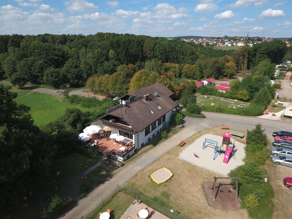
Kübelberger Hof
Schleppi Inn
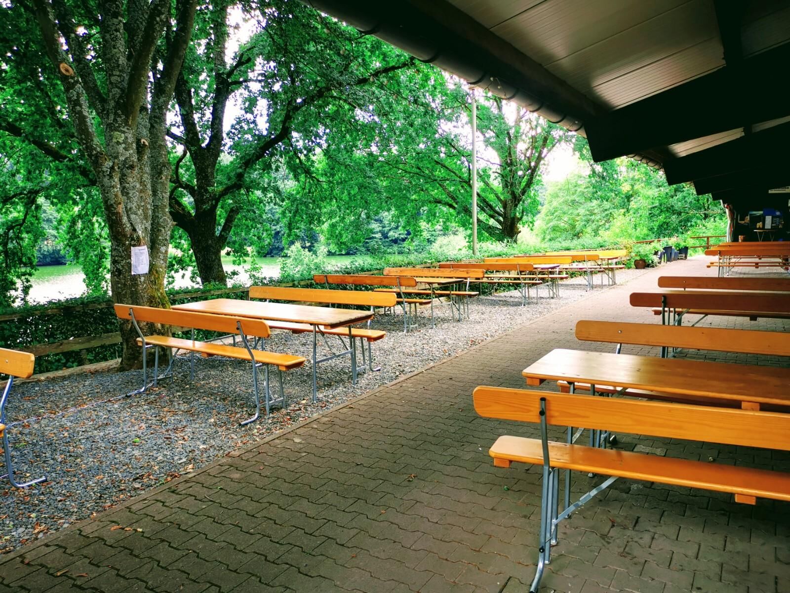
Paula's beer garden
Lake festival on the 3rd weekend in July
Historic beer cellar - IMPORTANT INFORMATION!
Oblíbené prohlídky v okolí
-
Bruchmühlbach-Miesau - Sagenhafter Waldpfad
středníTuristika 17.8 km -
5.0
Börsborn - Muhleichenweg
středníTuristika 11.3 km -
4.0
Börsborn - Von-der-Leyen-Weg
středníTematická stezka 12.2 km -
4.0
Fritz-Wunderlich Cycle Path
středníJízda na kole 26.1 km -
Wingertsweiher Ottweiler
světloTuristika 8.82 km -
Kusel - Preußensteig
heavyTuristika 25.6 km -
5.0
Wells Path
středníTuristika 14.7 km -
Waldmohr - Circular route loading ramp
světloTuristika 6.40 km -
Altenkirchen - Cherry Land Path (circular route - 22.6 km)
heavyTematická stezka 22.5 km -
4.0
Steinberg Runde
středníTuristika 4.71 km

Pěší turistika a stopování


Nenechte si ujít nabídky a inspiraci pro vaši příští dovolenou
Vaše e-mailová adresa byl přidán do poštovního seznamu.