






On the historic iron road to Ahrweiler

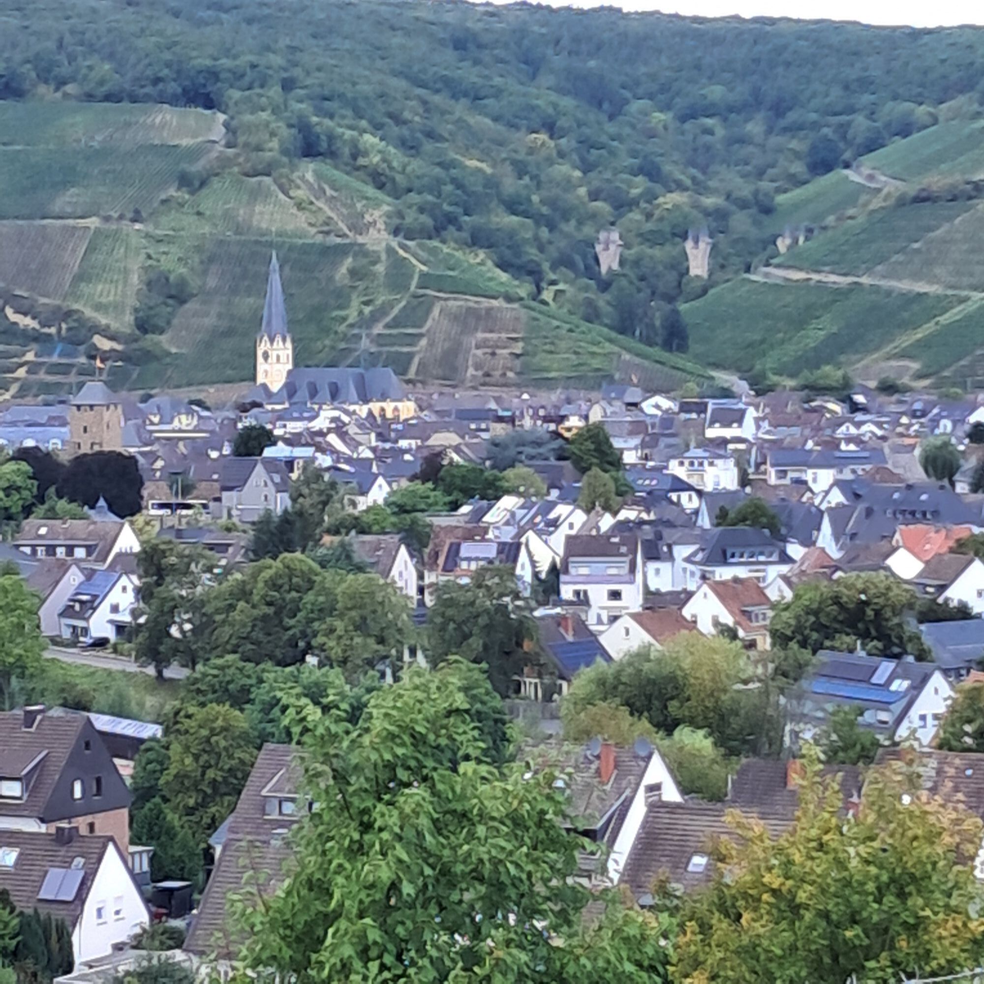
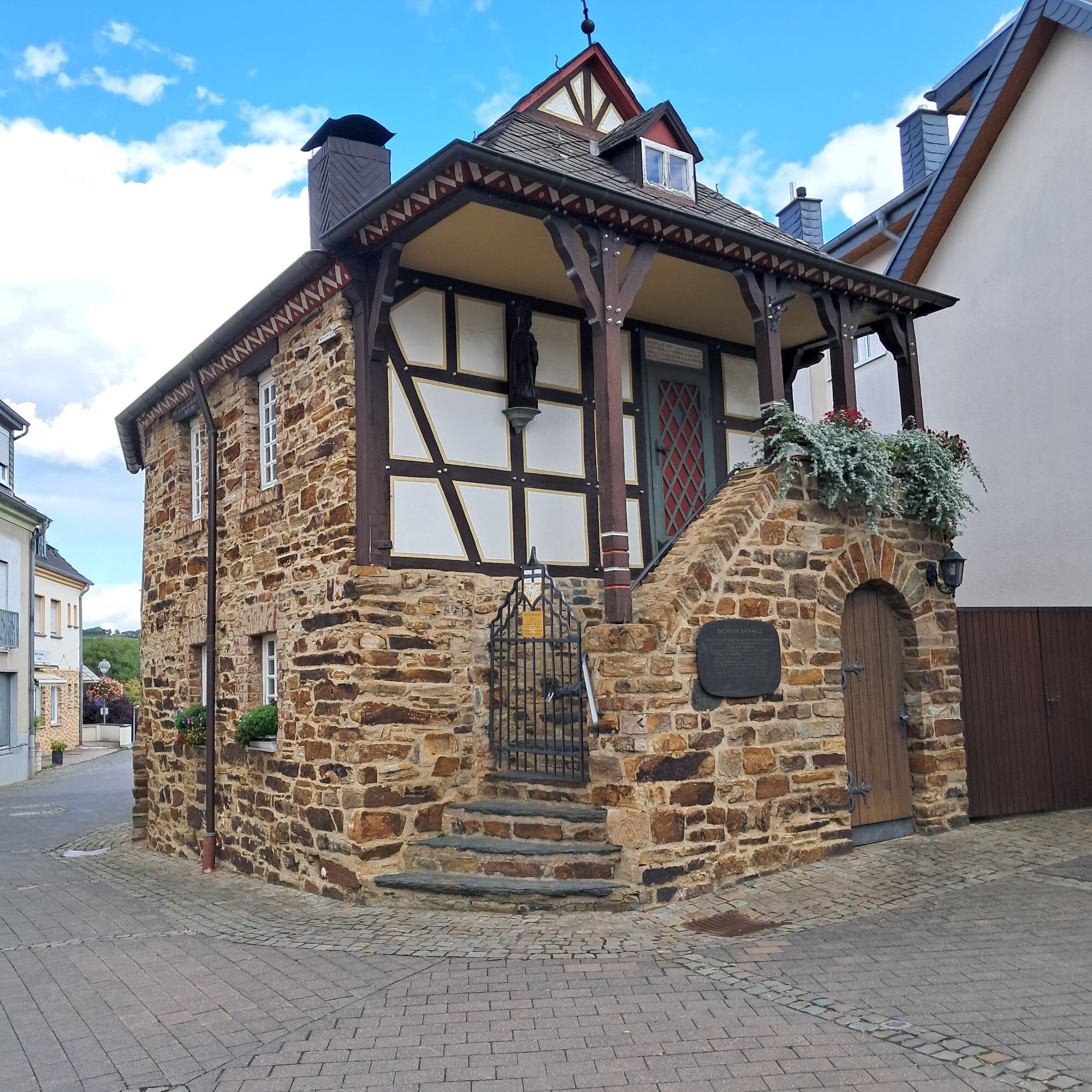

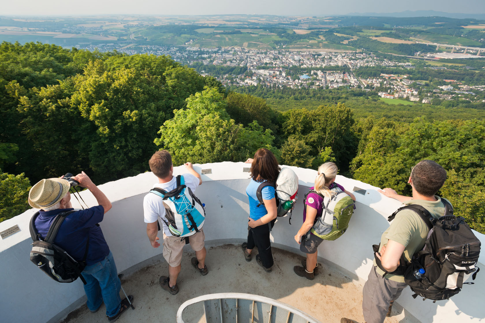
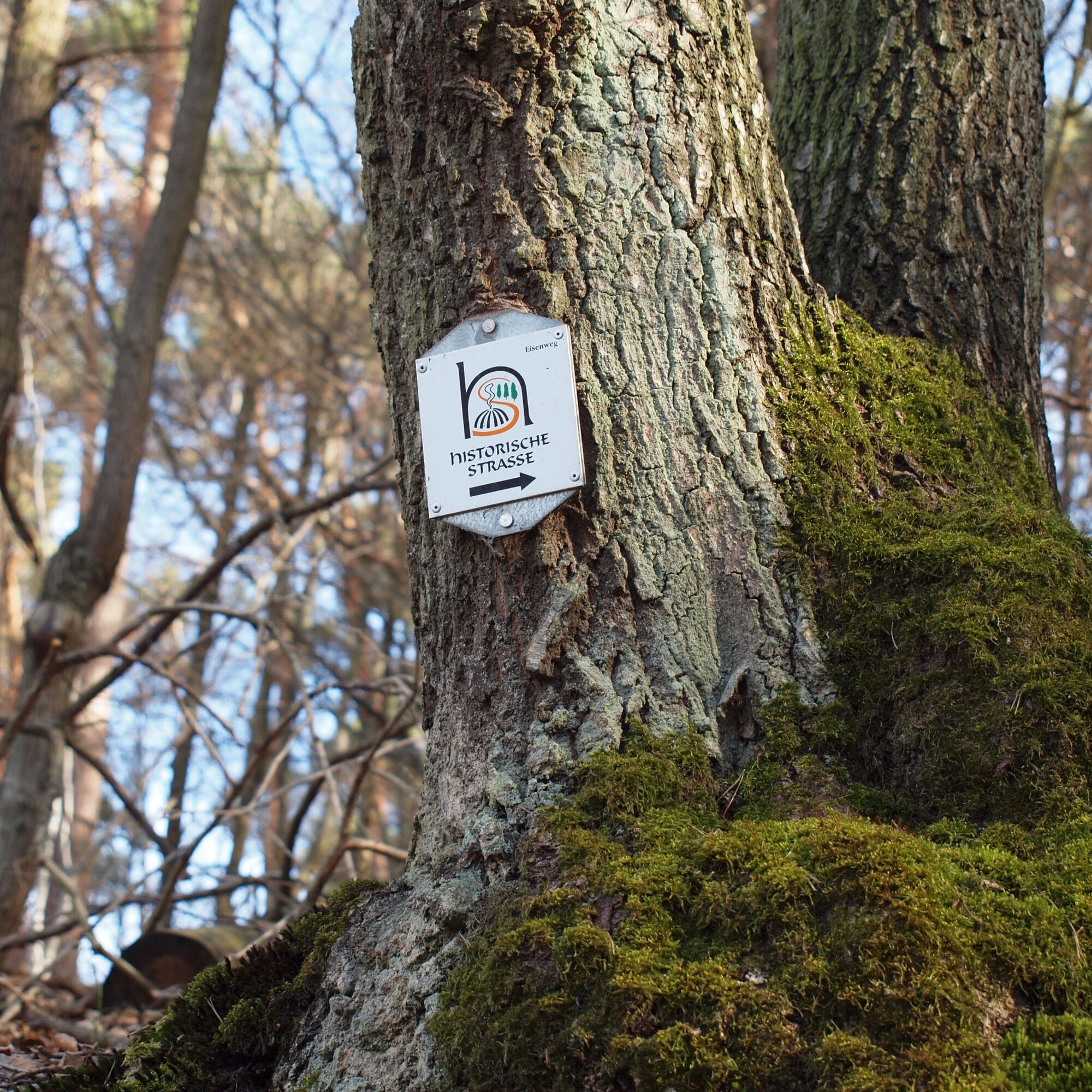

In front of the station, turn left into Landgrafenstraße and before the Ahr bridge turn right onto the main hiking trail no. 1 / Osteifelweg (marking). You pass the casino as well as the spa house and hike uphill to the Willibrord church. Then continue to the Neuenahrer Berg, to the Steckenberg tower, and then to the Wilhelm-Bloser hut (+rescue point 5408-784). There, follow first the city hiking trails no. 4 and no. 6, then turn right onto trail no. 8 and reach the Andertal hut as well as the Buchenrondell hut (+5408-785). Take trail no. 11 and hike straight ahead towards Ramersbach to the Roman country villa Tiefbachtal (wall remains). Here you follow the "Historic Road" to the church in Ramersbach (Ramersbach Mitte stop) and trail no. 13 via the Pine Trail. After about 800 m you reach the houses at the Forsthaus stop. You hike past the shelter "Old Wall" and before the shelter "Breite-Kopf" turn slightly right. Here you can visit the iron smelting settlement. From there you return to trail no. 13 and cross the L 84. You hike through the vineyards of Bachem and turn left at the Leonardus chapel, take the circular trail no. 13 against the arrow direction, and after approx. 300 m go right over the Ahr bridge and left along the Ahr to the Ahr gate. You walk through the pedestrian zone at the market square past the St. Laurentius church and reach after approx. 300 m the Ahrweiler Markt station.
Attention!
1. Do not observe the direction arrows on trails no. 8 and h!
2. A shortcut by bus from Ramersbach is possible (9 km less): Ramersbach Mitte (diagonally opposite the church) with bus 814 (Mon - Fri every 2 hours, Sat/Sun 2x daily) to Ahrweiler Ahrtor or Ahrweiler Amtsgericht (opposite Ahrweiler station).
Source: Hiking between Ahr Valley, Rhine & Eifel, Rheinland-Pfalz-Takt
www.rolph.de
Ano
By Ahrtalbahn to Bad Neuenahr station
By car to Bad Neuenahr station, Hauptstraße 58
Ahrtalbahn
Timetable information at www.vrm.info
Park + Ride at Bad Neuenahr station
Ahrtal Tourism Bad Neuenahr-Ahrweiler e.V.
Oberstraße 8
53474 Bad Neuenahr-Ahrweiler
Tel. 0 26 41 / 9171 0
www.ahrtal.de
Sights along the route:
Wall remains of Roman country villa, iron smelting settlement, bakery museum, Roemervilla museum

Oblíbené prohlídky v okolí
-
4.4
Andernach - Trasshöhle - Teufelsknochen - Siebengebirgsblick
středníTuristika 12.6 km -
4.7
Steinerberg - Altenahr über Teufelsley und Teufelsloch
středníTuristika 9.30 km -
4.8
Erlenbrunnen - Sulzbusch - Sandkaul - Hochstein
středníTuristika 13.0 km -
4.0
Teufelsloch-Höhenwanderung
středníTuristika 7.44 km -
4.8
Rieden - Gänsehals - Maifeldblick
středníTuristika 14.2 km -
4.7
Round route Bad Neuenahr No. 5 - Through the Ramersbach Forest
středníTuristika 9.31 km -
Weinwanderung Dernau nach Ahrweiler
Turistika 23.4 km -
4.7
Rundwanderung Rech / Steinerberg
středníTuristika 14.2 km -
Burg Are - Engelsley Nord - Süd und im Tal zurück
heavyHorská turistika 3.63 km -
4.3
Hohe Acht
světloTuristika 6.80 km
Pěší turistika a stopování


Nenechte si ujít nabídky a inspiraci pro vaši příští dovolenou
Vaše e-mailová adresa byl přidán do poštovního seznamu.





