







Road bike 4 - Hochspeyer - Wilgartswiesen - Edenkoben - Maikammer - "King stage"
Úroveň obtížnosti: 2
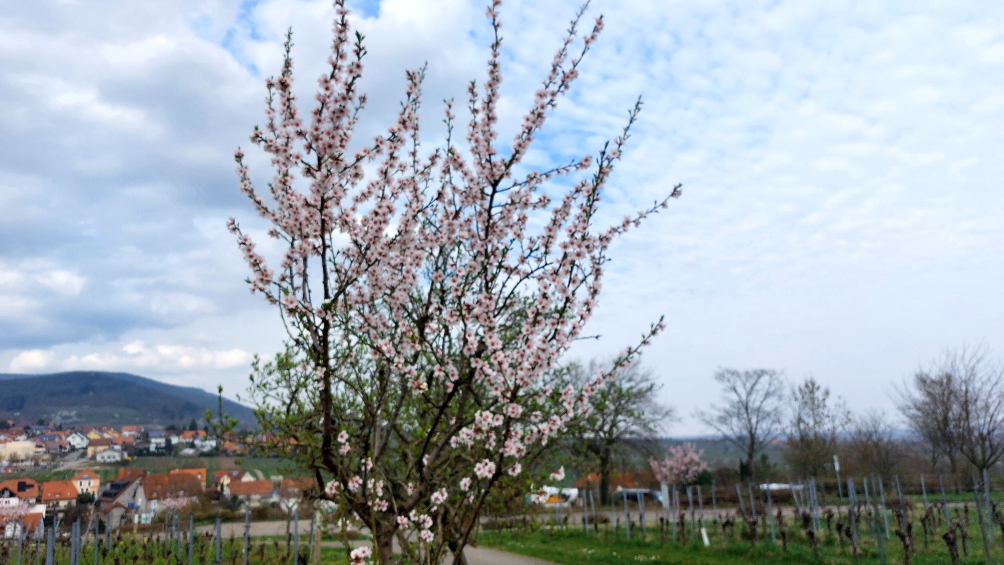
The route leads from Hochspeyer through the beautiful Palatinate Forest out into the vineyards of the Rhine Plain and up the Stoppomat course to the Kalmit.
WATCH OUT! - Campaign for considerate coexistence...
The route leads from Hochspeyer through the beautiful Palatinate Forest out into the vineyards of the Rhine Plain and up the Stoppomat course to the Kalmit.
WATCH OUT! - Campaign for considerate coexistence in nature
Always behave considerately, kindly, and attentively toward everyone you meet along the way. Respect nature, do not destroy plants, and always stay on the paths. Try to avoid excessive noise and leave the forest before dusk. Take a trash bag for your journey and take your rubbish back home with you. Always keep your dog on a leash. Other visitors and animals will thank you. For your own safety, obey all path closures, also at weekends. Park only in designated parking spaces. Leave room for rescue vehicles and agricultural machines. Give priority to agricultural and forestry traffic.

The starting point is the train station in Hochspeyer. Up the B48 to the L504 exit Waldeleiningen. Down the so-called Krottenbuckel to Elmstein. The first long climb begins up to Iggelbach via K19/K17 to B48. Keep right there, and after about one and a half kilometers turn left onto L496. Follow the K56, a narrow inconspicuous forest path, past Hermersbergerhof and a subsequent rushing descent down to Wildgartswiesen. In the village, turn right onto K54/K55 via Sprikelbach to Sarnstall. On L490 through the Trifels town of Annweiler, where there are also plenty of refreshment options. Behind Annweiler briefly on L505 and then onto L506 via Dernbach to Ramberg and over the climb at the three beeches down into the Modenbach valley. Sharp left onto the beautiful K6 to collect significant elevation past the forester's lodge Heldenstein and Loloruhe. After a fast descent, you can refresh yourself again in the wine towns of Edenkoben and Maikammer to be prepared for the upcoming challenge. In Maikammer, follow the Kalmit high road L515 up to the pass below the summit. If you still have enough reserves, you can tackle this climb against the clock using the installed Stoppomats. Past the Totenkopf hut, follow L514 on a beautiful descent into the Elmstein valley. Follow L499 until just past Elmstein, where you turn right for a short section on the already familiar L504. At a small bridge, continue straight onto K38 to tackle the steep climb to the Palatinate Forest Association hut Schwarzsohl, the last challenge of this route. Since the elevation gained approaches two thousand meters, you can use the Schwarzsohl hut to partially replenish burned calories with Palatinate specialties. Upon arrival in the village of Weidenthal, take the left on B39/B37 back to Hochspeyer.
For our cycling routes, we recommend the following equipment as standard:
(Touring) bike; on hillier routes, more gears or electric assistance provide greater comfort Bicycle helmet cycling-appropriate clothing, also for bad weather Bicycle bag for storing equipment and provisions Sunglasses or protective glasses to protect against insects as well Smartphone with the Rheinland-Pfalz app for navigation and information on sights, food stops along the route, and more - LINK Essential tools and spare parts, possibly charging accessories for e-bike Sunscreen, especially on routes through fields and vineyardsOur cycling routes often run along paths shared with others. We therefore ask for always considerate and friendly behavior. Winegrowers, farmers, and foresters use the service roads through fields, forests, and vineyards for their daily work (also on weekends) and always have priority. Due to work activities and/or weather conditions, these paths can sometimes be dirtier. Special caution is also advised when riding on the (mostly quiet and lightly trafficked) roads in and around the Palatinate villages.
A6 to exit no. 17 Enkenbach-Alsenborn, then via B48 to Hochspeyer
By train to Hochspeyer
Hochspeyer train station
2
Webové kamery z prohlídky
Získejte přehled
Vždy živě na místě s více než 9 500 webkamerami. bergfex Jako uživatel Pro si nyní můžete zobrazit odpovídající webové kamery pro mnoho prohlídek v aplikaci prohlídky z. Můžete si tak přímo prohlédnout aktuální podmínky.
Oblíbené prohlídky v okolí
-
4.5
Annweiler Castle Trail
středníTuristika 7.72 km -
4.2
Eschbach-Trifelsblick-Madenburg-Eschbach
světloTuristika 9.37 km -
5.0
Rundtour Roth unter Riethburg
středníTuristika 14.5 km -
4.5
Vom Hambacher Schloss auf die Kalmit
středníTuristika 11.3 km -
5.0
Palatinate Wine Route stage 05 Neustadt a. d. Weinstraße - St. Martin
heavydálková pěší trasa 19.8 km -
3.7
Eiderbachtal - Hofstätten - 7 Buchen - Annweiler Forsthaus - Eiderbachtal-Parkplatz
středníTuristika 11.3 km -
5.0
Palatinate Weinsteig Stage 08 Dernbach - Annweiler am Trifels
heavydálková pěší trasa 14.4 km -
Drei Burgenweg in Erfenstein
středníTuristika 7.30 km -
Neustadt, Kaltenbrunner Tal, Totenkopfhütte, Hellerhütte, Königsberg, Neustadt Neustadt an der Weinstraße, Rheinland-Pfalz
světloTuristika 18.1 km -
3.0
Maikammer - Palatinate Almond Trail (Circular Route)
světloTematická stezka 14.6 km
Pěší turistika a stopování


Nenechte si ujít nabídky a inspiraci pro vaši příští dovolenou
Vaše e-mailová adresa byl přidán do poštovního seznamu.





