







Brewery Tour

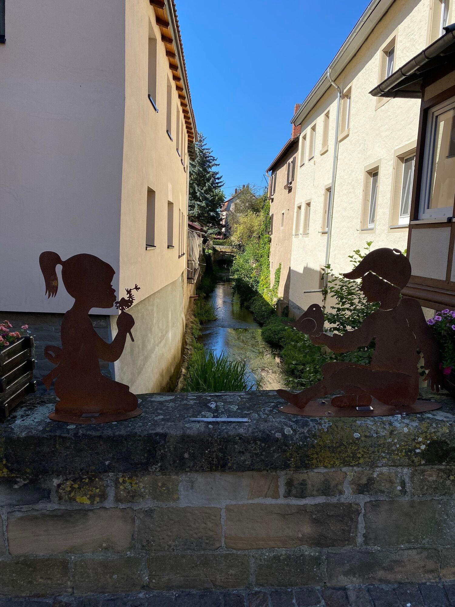
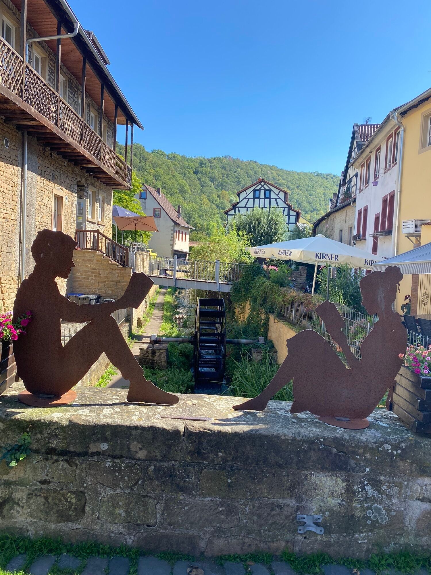
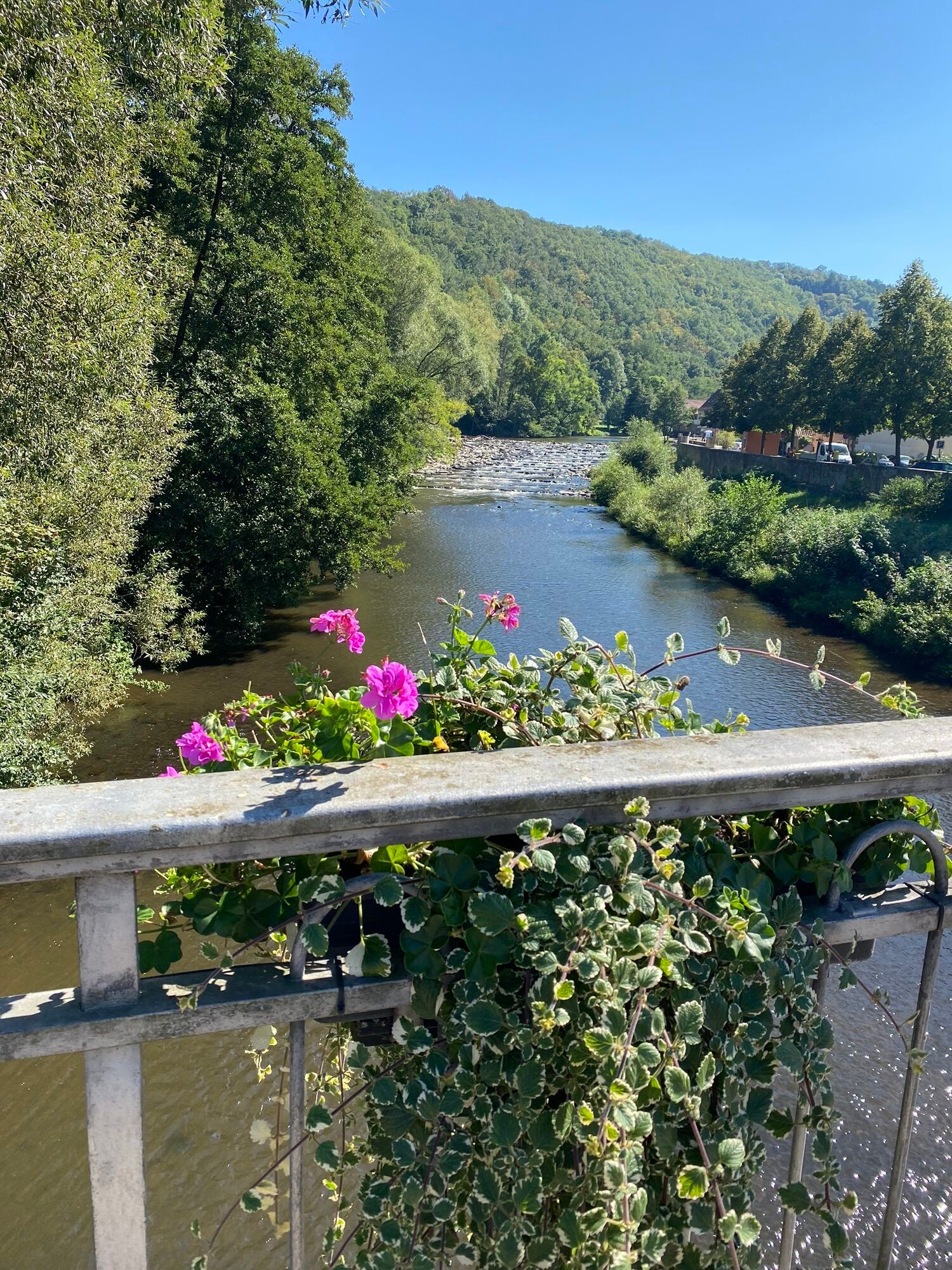
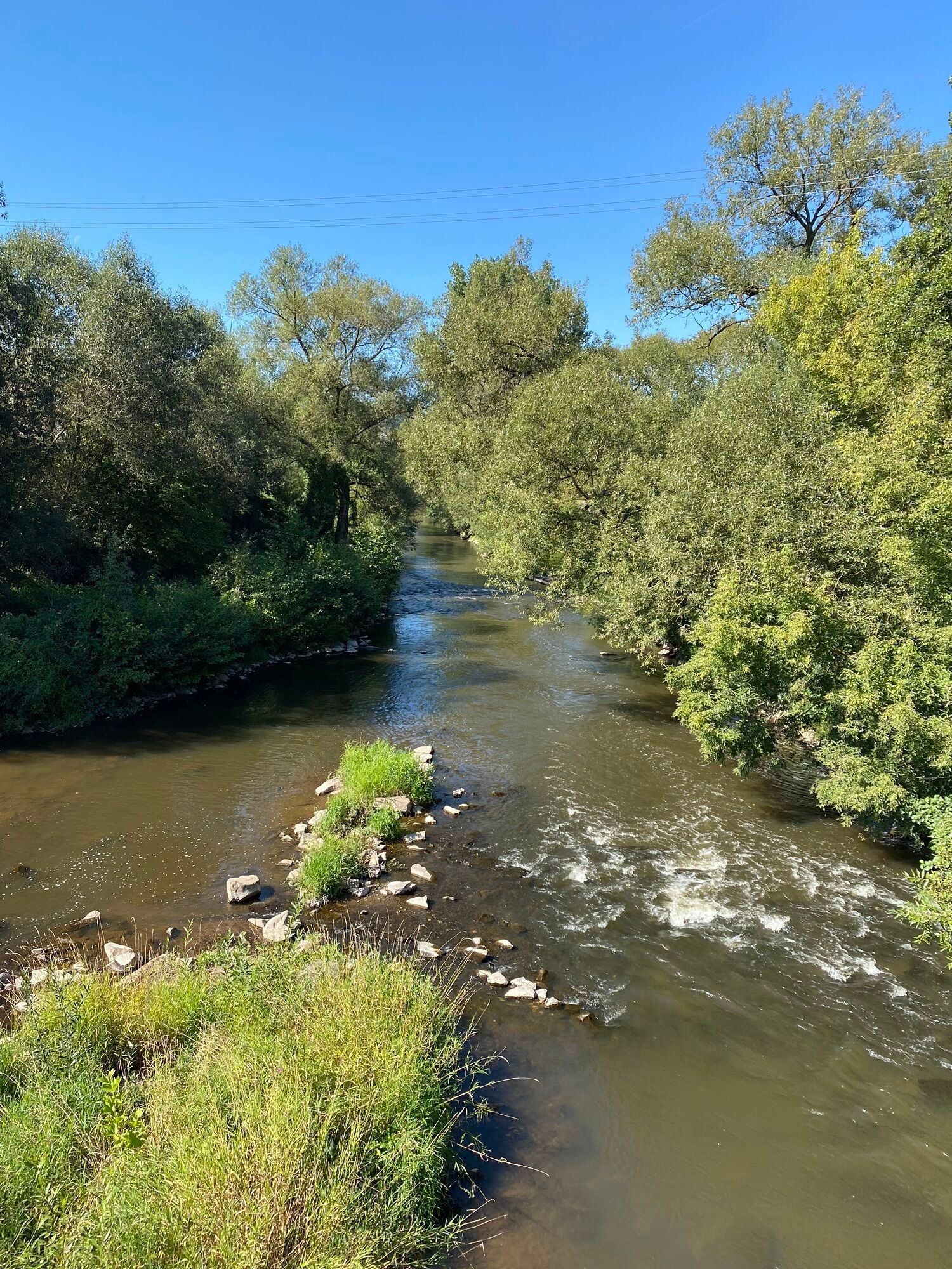
First the work, then the pleasure: from the starting point, most of the altitude metres on this road bike tour are covered in the first 15 kilometres, while halfway along the route, the brewery in Meisenheim...
First the work, then the pleasure: from the starting point, most of the altitude metres on this road bike tour are covered in the first 15 kilometres, while halfway along the route, the brewery in Meisenheim tempts you with a lunch stop. The route continues steadily up and down via Bad Sobernheim, where the "DENKMALz" is the second brewery on our route, housed in an old church with a beer garden. At the starting point in Kirn, the private brewery is waiting to be examined during a tour of the brewery. If you want to shorten the tour, you can take the train to Kirn in Bad Sobernheim.
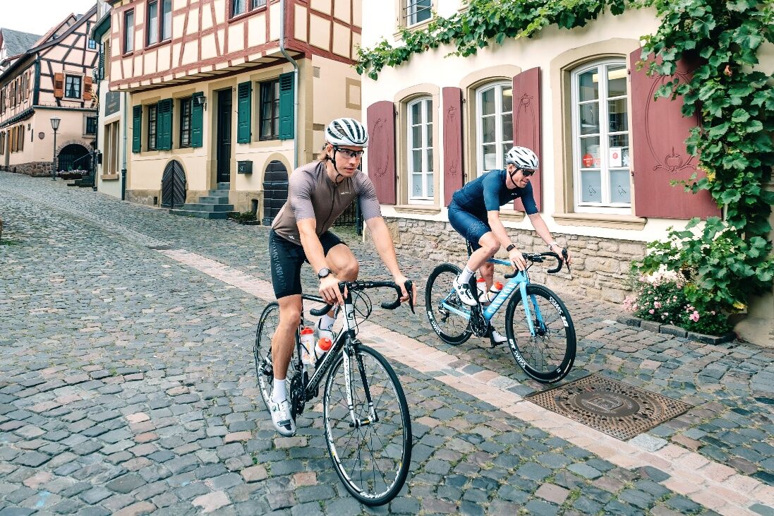
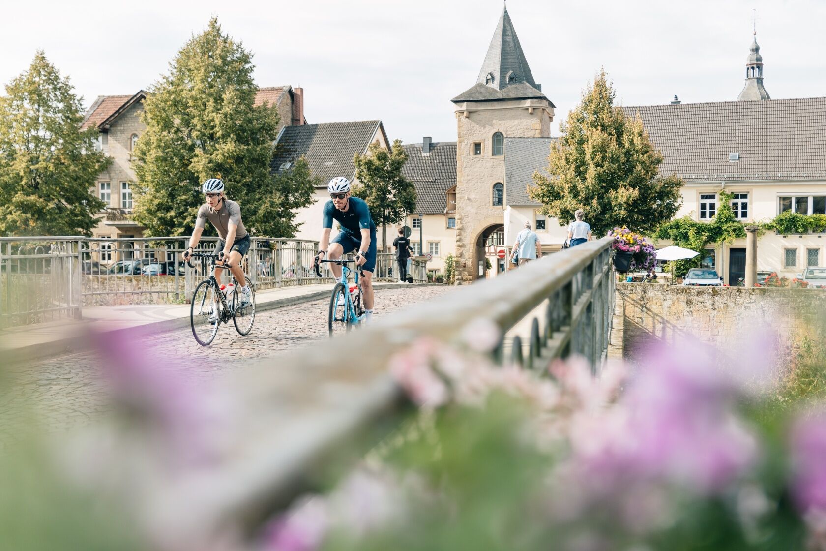

From Kirn, the route leads steadily uphill at a moderate gradient past Heimweiler, through Becherbach and Otzweiler - with a poisonous final climb - to the highest point of the tour. The route continues in a relaxed manner to Merzweiler, past Jeckenbach through Kappeln to Löllbach. The tour continues slightly undulating via Jeckenbach and Breitenheim onto the cycle path to idyllic Meisenheim am Glan. Along the Glan you reach the Nahe via Odernheim, which leads you via Bad Sobernheim, Meddersheim and Merxheim back to Kirn. Here, the pedestrian zone with open-air pubs, ice-cream parlour and several bakeries entice you alongside delicious Kirn Pilsner.
HelmetMobile phone with full batteryCash, ID cardNavigation device, mapsAir pump / compressed air cartridgeSpare inner tubeSufficient beveragesEnergy bar / gelWind / rain jacket
Observe the traffic rules, pay attention to other road users and drive at an appropriate speed, especially in the exits. Be considerate of other cyclists and pedestrians.
Kirn can be reached via the A61 exit Waldlaubersheim or Bad Kreuznach and via the A1 / A62 exit Birkenfeld.
Kirn is on the Saarbrücken-Frankfurt (RE3) and Mainz-Türkismühle (RB33) lines and can be reached via the Bad Kreuznach and Bad Münster am Stein-Ebernburg stations.
Paid parking in Kirn "Auf der Kiesel".
La vieille ville historique de Meisenheim vaut définitivement le détour !
Oblíbené prohlídky v okolí
-
4.0
Waldgasthaus "Lemberghütte" - Aussichtspunkt Mercurtempel - "Schönster Naheblick" - Schlafender Riese
středníTuristika 12.9 km -
Pfälzer Höhenweg complete route
heavydálková pěší trasa 115.8 km -
Disibodenberg Bad Sobernheim
světloTuristika 9.74 km -
Glan-Blies cycle path | Family route "Gems on the Glan"
světloJízda na kole 22.7 km -
Glan-Blies cycle path - Stage 5 (Meisenheim - Staudernheim)
světloCyklistika na velkou vzdálenost 12.8 km -
Glan-Blies cycle path - Stage 4 (Ulmet - Meisenheim)
světloCyklistika na velkou vzdálenost 26.2 km -
Palatinate High Trail Stage 05 Obermoschel - Meisenheim
střednídálková pěší trasa 12.9 km -
Pfälzer Höhenweg Stage 04 Rockenhausen - Obermoschel
střednídálková pěší trasa 19.6 km -
Cycle service road on the B270: Connection between Nahe and Glan-Blies cycle routes
středníJízda na kole 23.9 km -
Alte Welt around Rockenhausen
středníJízda na kole 37.7 km
Pěší turistika a stopování


Nenechte si ujít nabídky a inspiraci pro vaši příští dovolenou
Vaše e-mailová adresa byl přidán do poštovního seznamu.





