







Bike route "Panoramic route on the Sonnenplateau"

The panoramic route on the Sonnenplateau in EdelSteinLand offers stunning views over the plateau heights on a route length of about 40 km. Starting points are Berschweiler near Kirn, the Copper Mine Fischbach,...
The panoramic route on the Sonnenplateau in EdelSteinLand offers stunning views over the plateau heights on a route length of about 40 km. Starting points are Berschweiler near Kirn, the Copper Mine Fischbach, or the historic Herrstein.
Due to the varied topography, it is a route particularly suitable for e-bikes or sporty riders. The path partly follows the Nahe-Hunsrück-Mosel bike route and is connected to the Nahe bike route near Fischbach. There is also a connection to the new National Park bike round route, which runs about 85 km around the Hunsrück-Hochwald National Park.
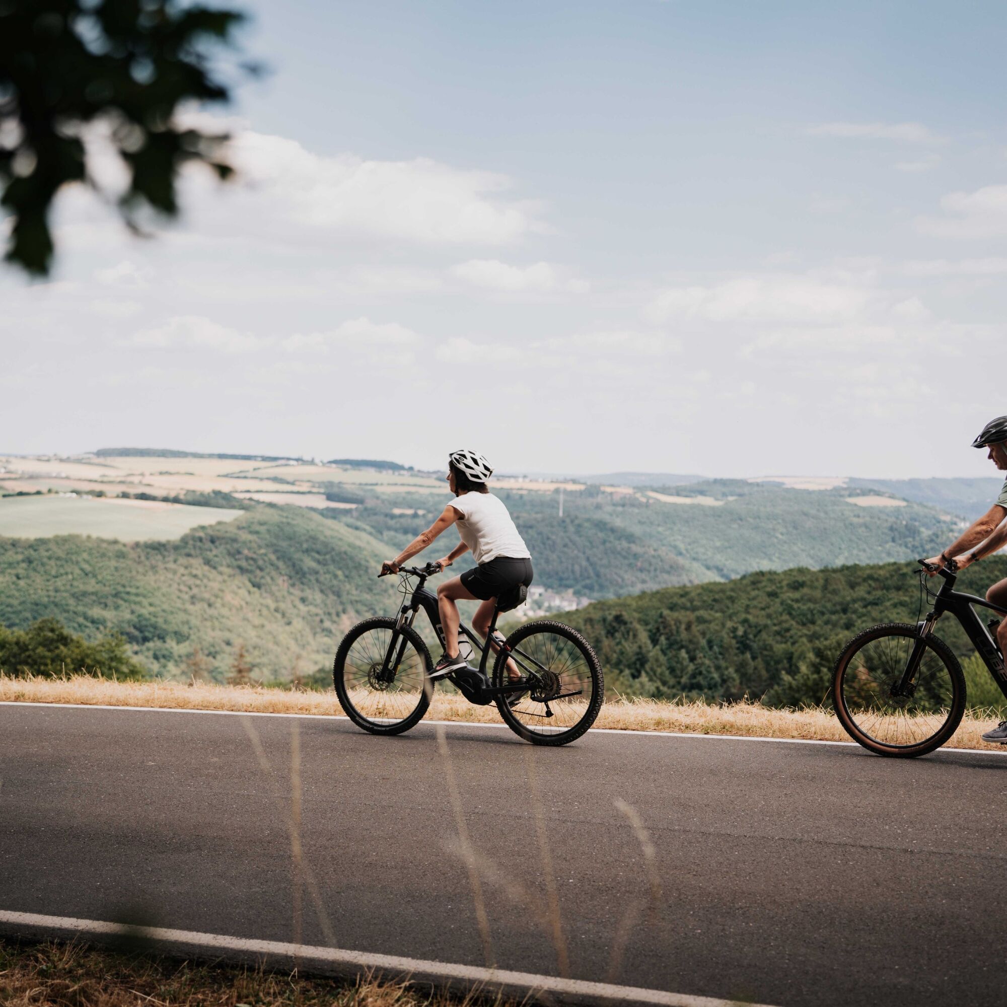
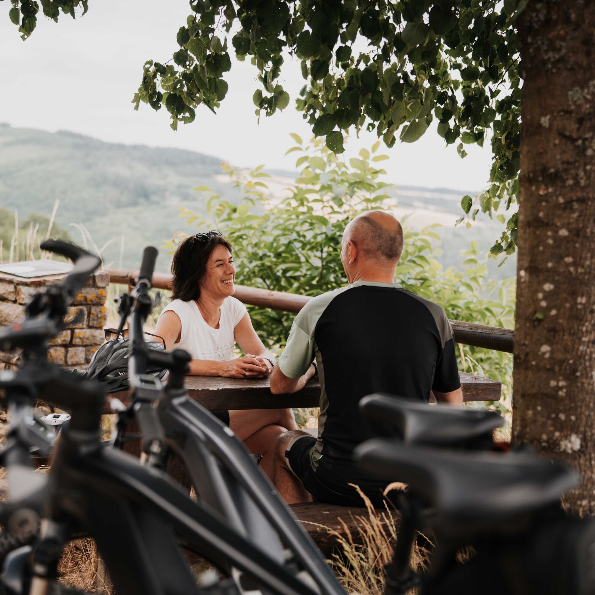
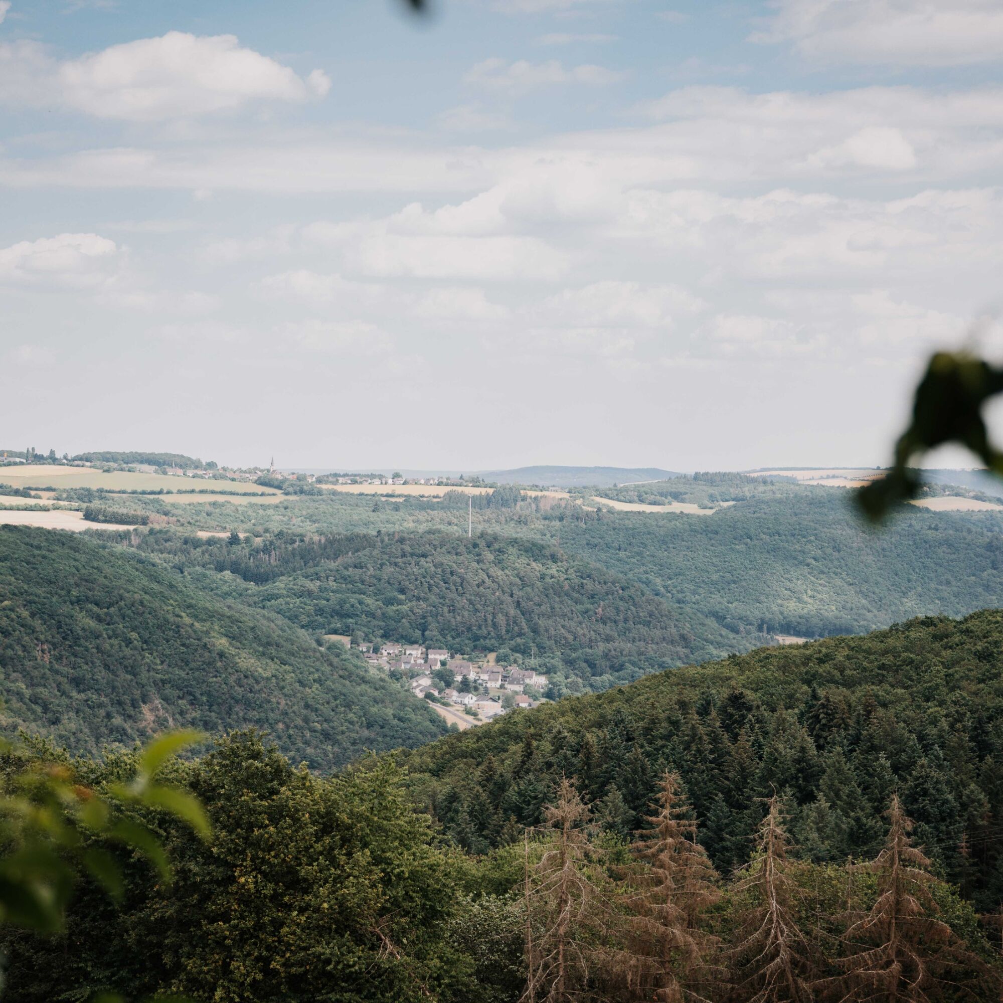

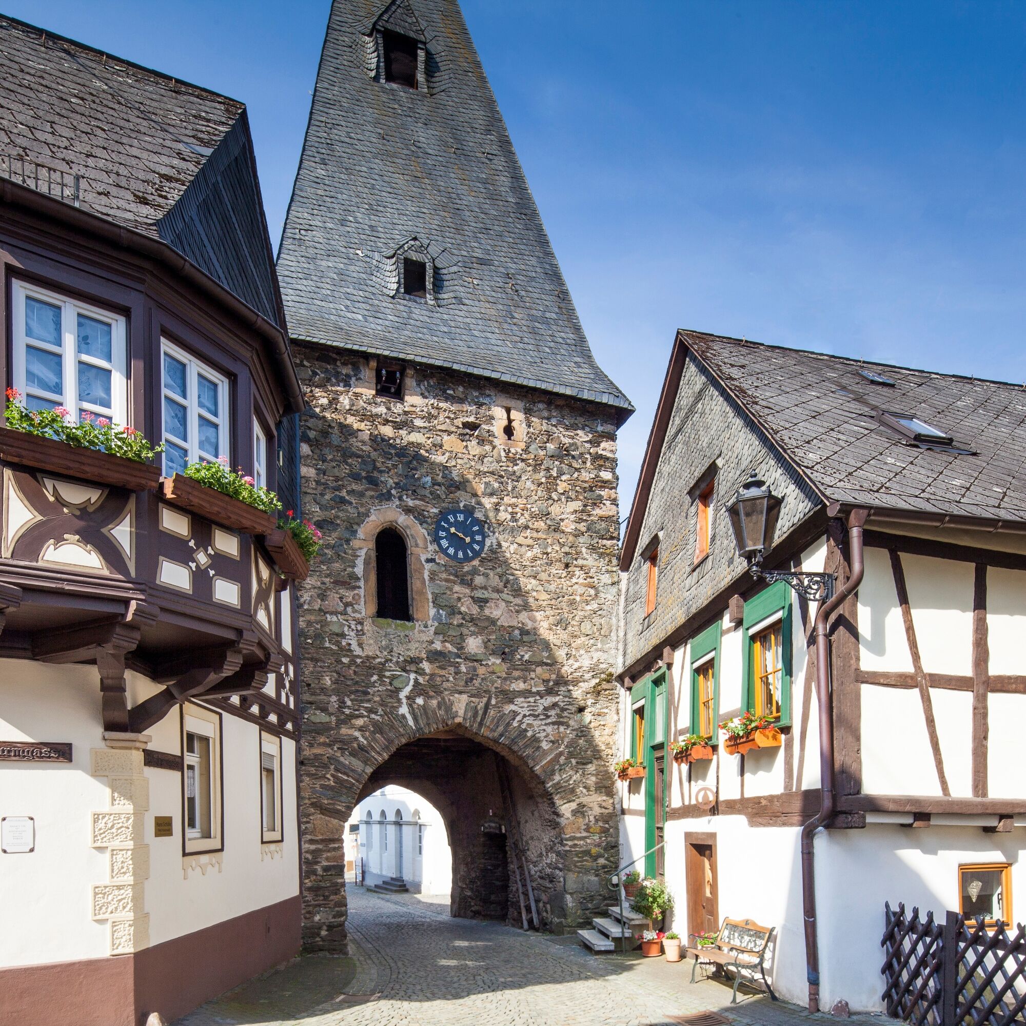
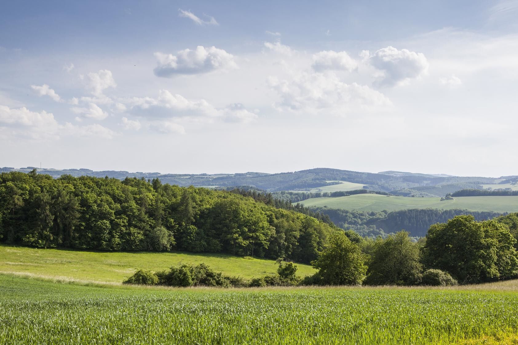
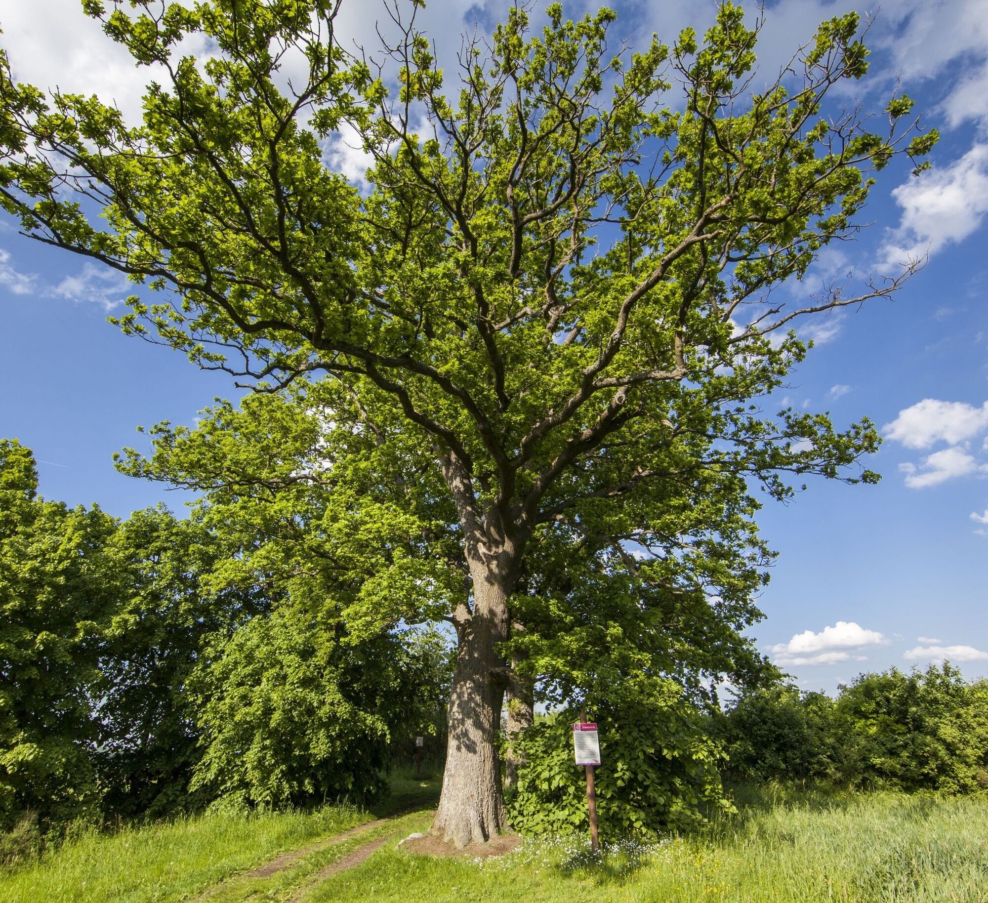
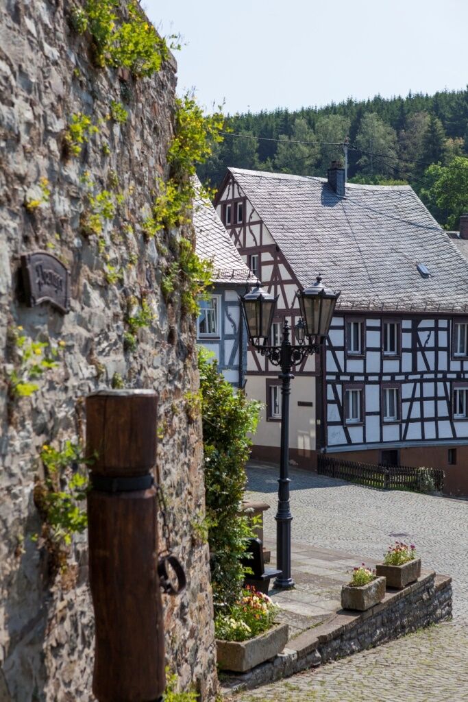
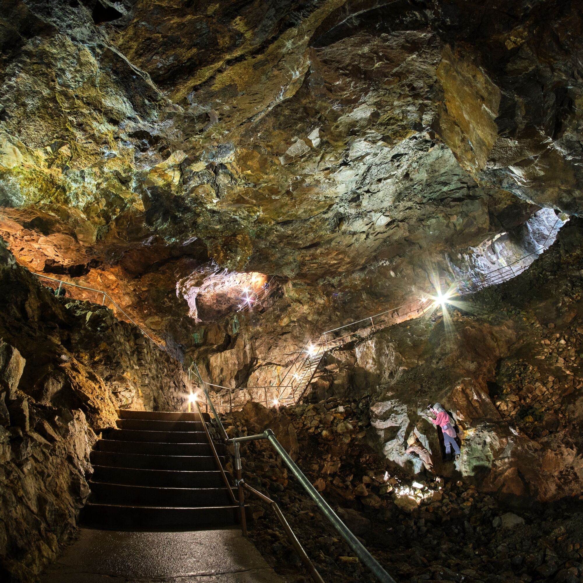

The bike route "Panoramic route on the Sonnenplateau" starts in Berschweiler near Kirn, at the "Landgasthaus & Pension Schmidthöfer". From there, it goes through Bergen, Griebelschied, Sonnschied, Wickenrodt, Oberhosenbach, Breitenthal, and Niederhosenbach to Herrstein and finally to Fischbach. At the Historic Copper Mine in Fischbach, there is a place to stop called the "Kupferstube" as well as a charging station for e-bikes.
There are also places to stop in Berschweiler and Herrstein.
The route can be ridden in both directions!
The route can be individually shortened.
Ano
The paths of the bike route are intended for e-bike riders or sporty riders. Please only ride with appropriate protective equipment (helmet) and enough fluids in your backpack.
We recommend the following equipment:
Helmet
Mobile phone with full battery
Cash, ID
Navigation device, maps
Air pump / compressed air cartridge
Spare tube
Sufficient drinks
Energy bars / gels
Wind / rain jacket
The paths of the bike route are designed for e-bike riders or sportive riders, as the paths are not fully paved and there are longer climbs to master!
After rainy periods, there may be a risk of slipping on the unpaved paths!
Observe traffic rules, watch out for other road users, and ride at a suitable speed, especially on descents. Be considerate of other cyclists and pedestrians.
The path partly follows the Nahe-Hunsrück-Mosel bike route and is connected to the Nahe bike route near Fischbach. The entry point can also be at the Historic Copper Mine in Fischbach. There are also charging stations for e-bikes there.
Take the regional train (RB) to Fischbach-Weierbach station, current timetables at www.rnn.info
You can start the route directly from Fischbach.
At the Historic Copper Mine in Fischbach, there is the possibility to charge your e-bike.
Large free parking lots are available, including in Fischbach at the Copper Mine and in Herrstein (large parking lot Brühlstraße).
Plan a visit to the Historic Copper Mine Fischbach and/or the historic town center of Herrstein.

Oblíbené prohlídky v okolí
-
4.7
Dream Loop "Köhlerpfad am Steinbach"
středníTuristika 13.4 km -
4.3
Dream loop "Medieval Path"
středníTuristika 8.46 km -
5.0
National Park Dream Loop "Kirschweiler Festung"
středníTuristika 9.08 km -
4.0
Dream loop "Nahe Rock Trail"
heavyTuristika 8.98 km -
5.0
Bundenbach - Forellenhof
středníTuristika 9.95 km -
3.0
Dream Loop "Between the Forests"
středníTuristika 10.7 km -
5.0
Ölmühlen Traumschleife
středníTuristika 7.95 km -
Dream Loop "Gemstone Grinder's Path"
středníTuristika 16.0 km -
4.5
Dream loop "Around the Kama"
světloTuristika 6.18 km -
4.0
Dream Loop "STUMM Ironworks Route"
středníTuristika 15.5 km
Pěší turistika a stopování


Nenechte si ujít nabídky a inspiraci pro vaši příští dovolenou
Vaše e-mailová adresa byl přidán do poštovního seznamu.





