




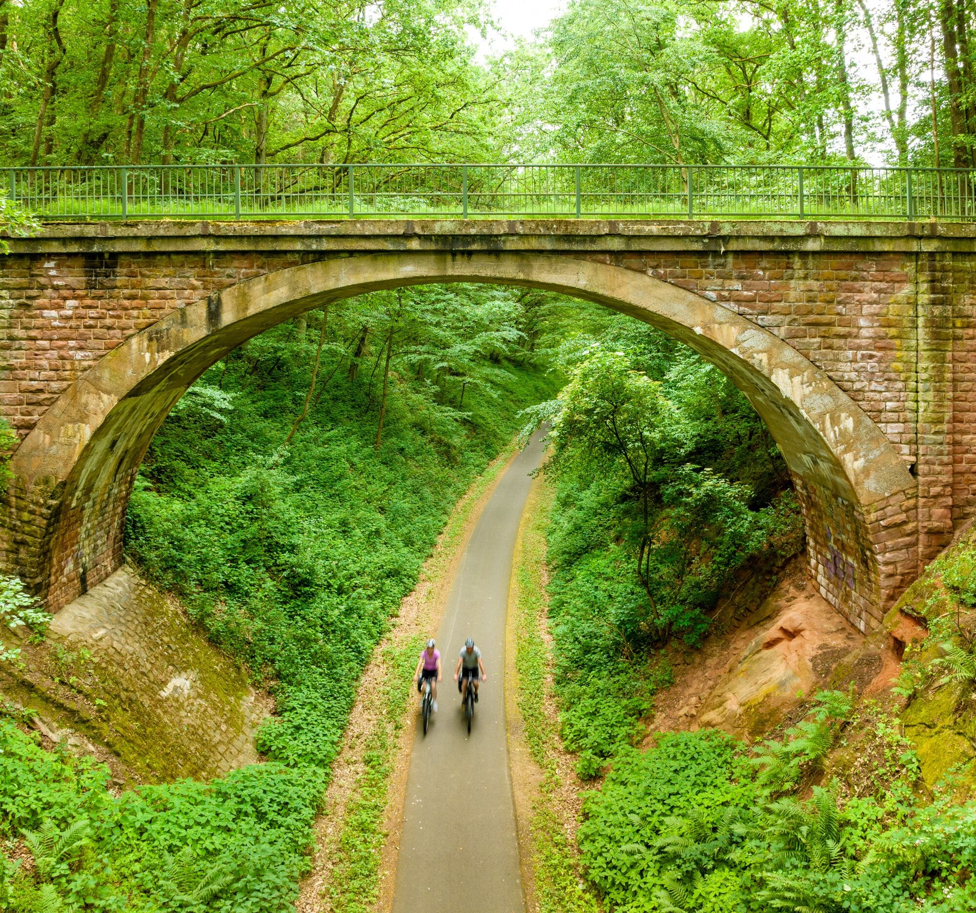
Pfälzer Land cycle path

Úroveň obtížnosti: 3
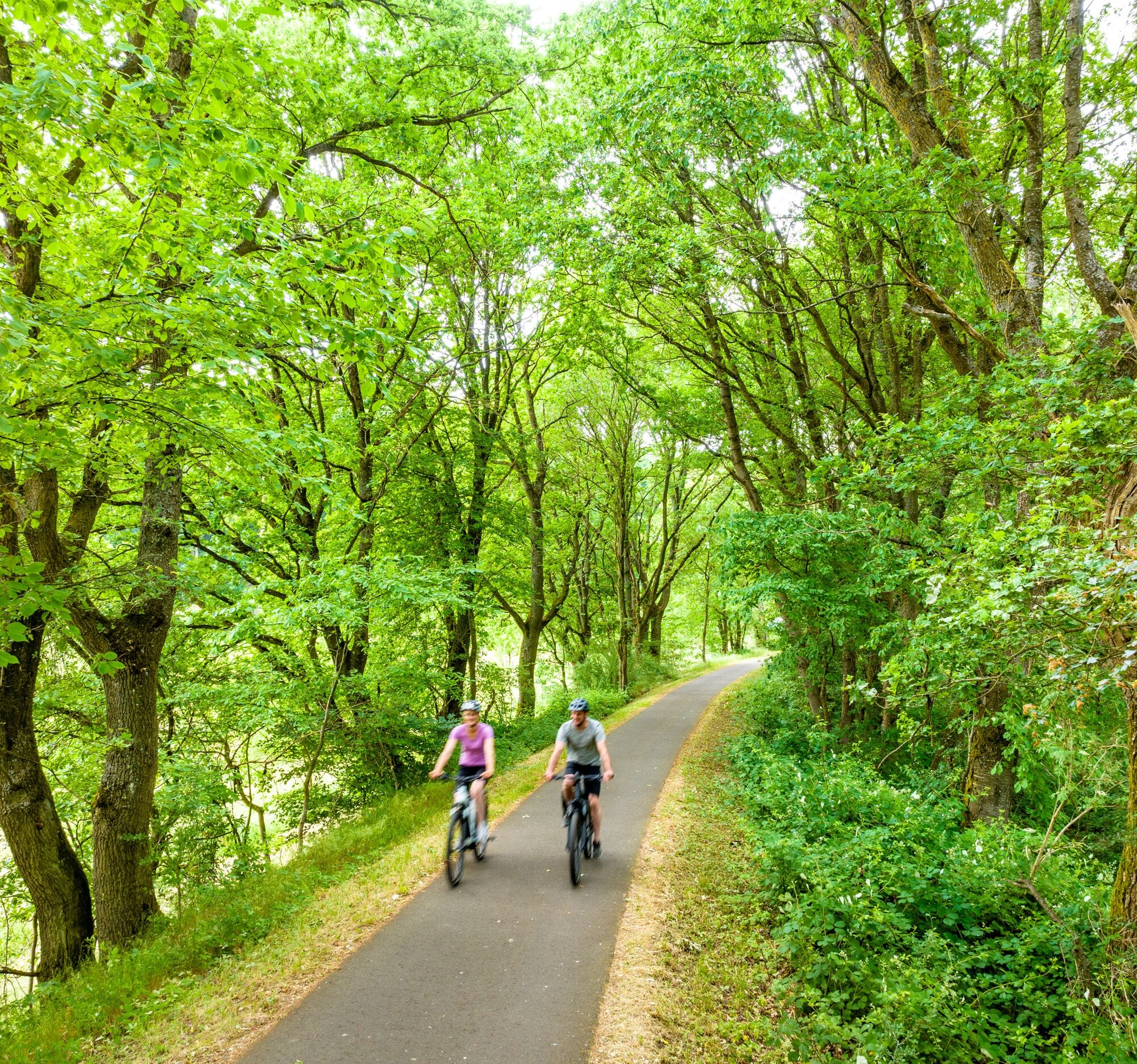
The cycle route is well suited for a family outing and can also be easily combined with other themed routes.
Points of interest along the route include the swimming pools in Altenglan and Bosenbach, the...
The cycle route is well suited for a family outing and can also be easily combined with other themed routes.
Points of interest along the route include the swimming pools in Altenglan and Bosenbach, the Monkey Climbing Forest near Schwedelbach, and Weilerbach with the Reinhard Blauth Museum, the Celtic wagon grave, princely grave and heath court, the Katzweiler open-air theatre, and the possibility to switch to the Lautertal cycle path.
In Otterbach, the Stellwerk Museum and the Motorcycle Museum, as well as the Otter Valley natural playground, are worth seeing. All cyclists should take a long break in Otterberg, as the historic old town with the 12th-century Cistercian abbey church is special and offers a variety of opportunities to dine.
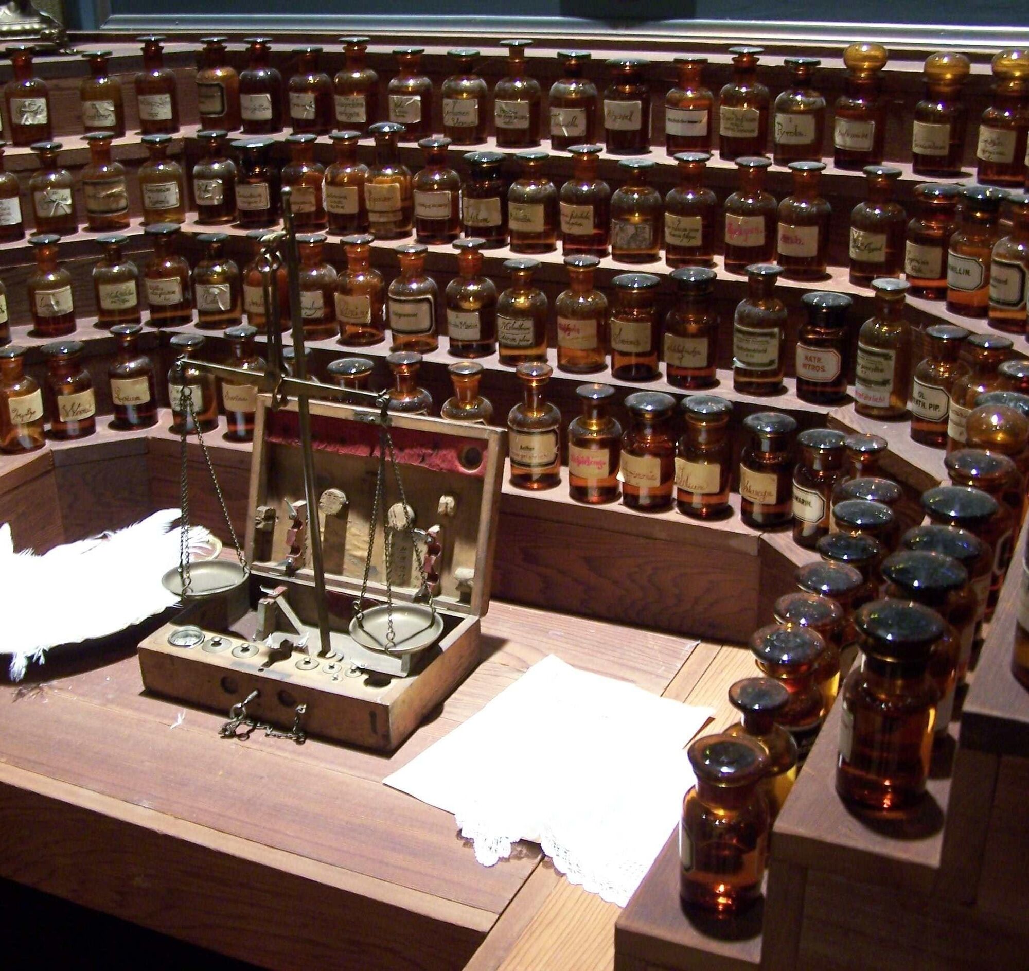
Especially in late summer, the Mehlinger Heide is a sea of color. Special small facilities also include the Perfume Museum in Baalborn and the Bajasseum (Circus Museum) in Enkenbach-Alsenborn.
UFFBASSE! - Campaign for considerate coexistence in nature
- Always behave attentively, kindly, and considerately towards everyone you meet on the way.
- Respect nature, do not damage plants, and always stay on the paths.
- Remember to carry a rubbish bag and take your waste home with you.
- Please keep your dog on a leash at all times. Other visitors and animals will thank you.
- For your own safety, observe all path closures. Even on weekends.
- Park only in designated parking areas. Leave space for emergency access and agricultural machinery.
- Give priority to agricultural and forestry traffic.



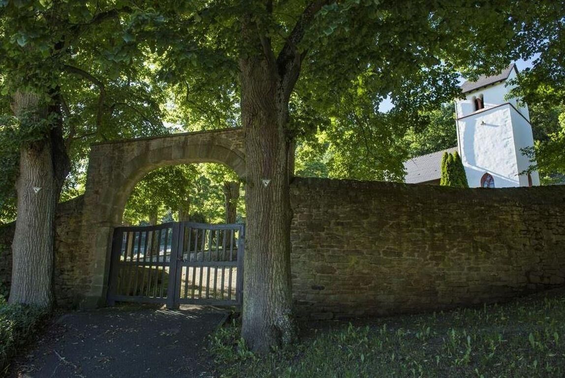
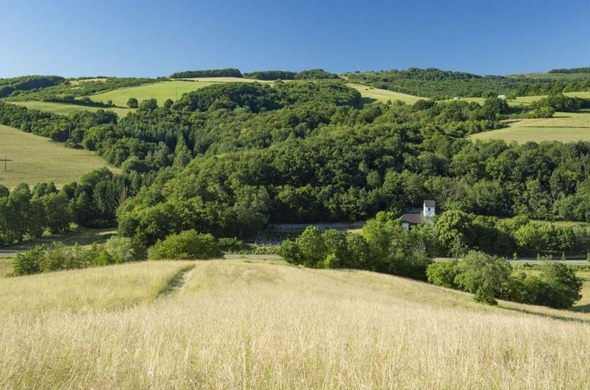
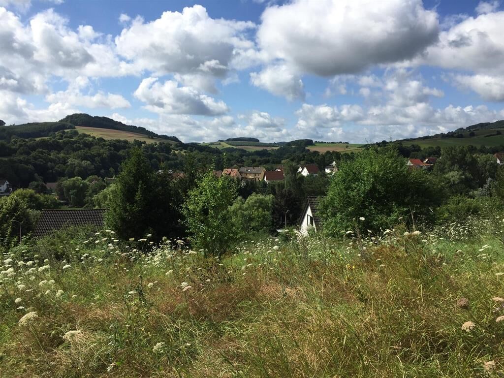
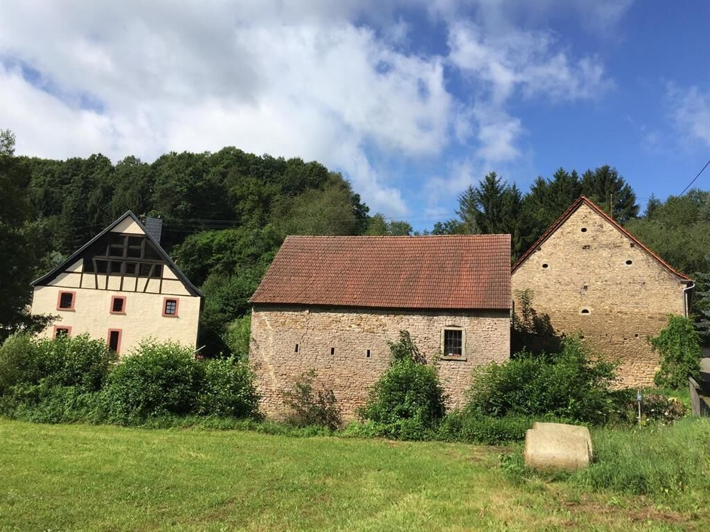


Requirements: Suitable for everyone, as there is only one longer, moderate incline.
Route character:
Trail guidance:
- Predominantly agricultural and forest roads and cycle paths as well as quiet district roads.
Rail trail sections:
- 9 km between Reichenbach and Weilerbach
Surface qualities:
- 40 km asphalt surfaces
- 8 km gravel surfaces
The route network: The Pfälzer Land cycle path connects the valleys of Alsenz, Odenbach, Lauter, and Glan and complements the regional cycle network.
The Pfälzer Land cycle path starts at the station in Altenglan and runs parallel to the Glan-Blies cycle path up to the Glan (or the railway crossing) and then turns east into the Reichenbach valley. The cycle path now runs parallel to the road, passing directly by the Altenglan swimming pool, through a grazing project with Heck cattle and Konik horses, to Friedelhausen. We leave the town again via the streets "Im Brühl" and "Im Pfaffental" and continue along the cycle path. At the intersection of the state roads, there is a connection to the cycle path to Bosenbach and the Bosenbach swimming pool located there. The main route of the Pfälzer Land cycle path turns right, continuing through the Reichenbach valley to Niederstaufenbach and runs along the "Hauptstraße" to the town exit. From there, the Pfälzer Land cycle path runs alongside the road to Oberstaufenbach. From the town entrance, it follows the "Hauptstraße" through Oberstaufenbach. Continuing along the state road L 367, the roadside cycle path leads to Reichenbach-Steegen. The cycle path runs through the town on "Hauptstraße" up to "Bahnhofstraße". The path continues straight ahead via "Bahnhofstraße". After crossing L 366, the Pfälzer Land cycle path changes to a former railway line and follows its course from Reichenbach-Steegen to the outskirts of Schwedelbach. From there, the route leads into the street "Am Hübel". Turning right continues to "Bahnhofstraße". At the end of the street, the cycle path first turns right and then immediately left onto the former railway line towards Weilerbach. After crossing "Mackenbacher Straße" and "Obergasse" in Weilerbach, the path runs through "Bahnhofstraße". At "Hauptstraße" it turns left and then immediately right into the street "In der Naßerede". At the end of the street, it continues straight on a farm road before the path crosses the state road near "Ziegelhütte" and continues alongside the road through the Pfeifertal. Shortly before the entrance to Hirschhorn, the Pfälzer Land cycle path meets the Lautertal cycle path and proceeds right along a farm road towards the Katzweiler open-air theatre. Turning right from there along a farm road, it passes the sports fields to the district road (23). Turning left, it crosses the street briefly before crossing the bridge and turning right onto a farm road. Past the Bonanza Ranch, the path leads through "Eisenbahnstraße" in Katzweiler, turns right at its end, crosses the railway line, and then immediately left into "Austraße". Following the path past Sambach, the cycle path continues to the Stellwerk Museum in Otterbach. There it first goes left over the road a short distance before continuing right on a roadside path towards the roundabout. At the roundabout, the Pfälzer Land cycle path turns left onto the former railway line and, together with the Odenbachtal cycle path, follows its course to the entrance of Otterberg. The path continues straight on "Otterstraße" and then turns right at the T-junction onto "Bachstraße". After a few meters straight ahead, it turns right again onto "Lauterter Straße". Following this street, the path leads up to "Am Rothenberg" street. There it turns left and immediately left again into "Am Sixmeisterwoog". Following the road, it continues past the tennis courts to the quiet district road. Turning right, the route passes the Weinbrunnerhof to the heights. There, the cycle path turns right onto a forest path and follows it past the Jewish cemetery up to the Mehlinger Heide. Following a well-developed farm road, it now goes left towards Baalborn. Shortly before Baalborn, the Pfälzer Land cycle path turns right onto a roadside cycle path and follows it to Mehlingen. It continues along the "Hauptstraße" through Mehlingen before the route continues from the cemetery in Mehlingen on a roadside cycle path to Enkenbach. Along "Neukircher Straße," the path continues straight ahead to "Donnersbergstraße." Following "Donnersbergstraße" to the left, the path then turns right at the gas station into "Wolfstraße" and continues until its endpoint, the station in Enkenbach-Alsenborn, where there is a direct connection to the Barbarossa cycle path.
At its end in Enkenbach-Alsenborn, the Pfälzer Land cycle path meets the Barbarossa cycle path, which connects the Palatinate Forest with the Rhine plain.
Source and further information: http://www.radwanderland.de/
For our cycling tours, we recommend the following equipment as standard:
- Wearing a helmet
- Weather-appropriate clothing
- Sun and rain protection
- Sufficient supply of food and drinks, as there are not always places to eat or shop available or open.
- Although the paths are very well marked throughout, for safety reasons it is always advisable to carry a suitable
cycling map so that, for example, in the event of a thunderstorm or emergency, you can quickly find a safe area.
General advice:
Especially in autumn, be aware that fallen leaves on the ground can conceal unevenness, roots, stones, or holes in the path. After thunderstorms or heavy rain, trees may still fall or branches may break afterwards. With adverse weather conditions, natural paths can have muddy and slippery sections. You should expect such impairments when undertaking a bike tour. If you consider certain sections impassable, you should bypass them.
NOTE:
We strive to announce all closures caused by forestry work or hunting societies on this platform. However, there are situations where cycle paths are closed and we may not have been informed. If you unexpectedly encounter a path closure or detour, please observe the instructions for your own safety.
The road traffic regulations must be observed!
You can choose any town as the starting point of the Pfälzer Land cycle path by car. The starting point in Enkenbach-Alsenborn can be reached via motorway A 6 (exit Enkenbach-Alsenborn) or motorway A 63 (exit Mehlingen).
Altenglan is reached via the A62 (exit Kusel, then via B420 to Altenglan)
- Otterbach, Katzweiler, Hirschhorn: Kaiserslautern - Lauterecken railway line
- Enkenbach: Alsenz line Kaiserslautern - Bingen
- Altenglan: Kaiserslautern - Kusel line
Rail connection directly on the cycle path is available in Enkenbach-Alsenborn, Otterbach, Katzweiler, Hirschhorn, and the starting point in Altenglan.
Timetable information for arrival and departure: DB and VRN
Parking is available especially at the train stops.
Altenglan (starting point, station)
Coordinates: 49° 32' 49'' N / 7° 27' 46'' E
Enkenbach-Alsenborn (parking at the station and distributed in town)
Coordinates: 49° 29' 24'' N / 7° 53' 59'' E
3
Visit the historic town center of Otterberg. In addition to the 12th/13th century Cistercian abbey church, the Walloon town has a variety of half-timbered houses worth seeing and is surrounded by a well-preserved city wall.
Visit the Mehlinger Heide with its heath nature trail. The nature and bird sanctuary is one of the largest heathlands in southwest Germany and, with its exceptional biotope diversity, provides habitats for typical, rare, and endangered species.
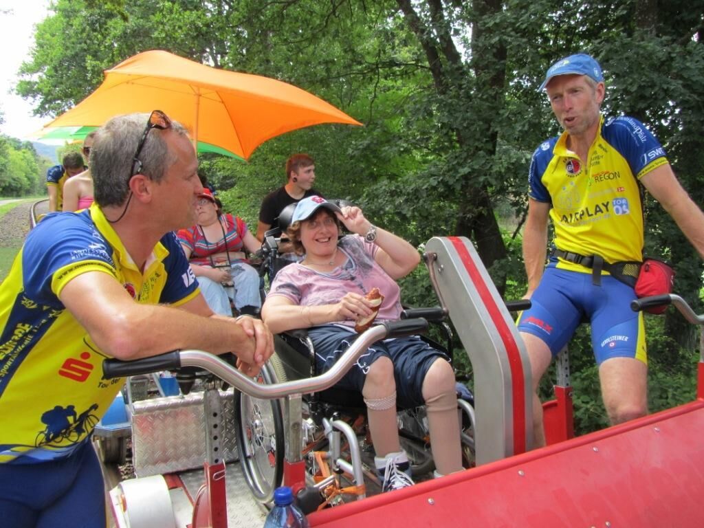
Altenglan is one of the starting points for the Draisinentour in the Glan valley, and the cross-border Glan-Blies cycle path also runs here. Combine your bike tour with a draisine tour or extend the tour along the Glan-Blies cycle path to the Nahe or into France. www.draisinentour.de / www.glan-blies-weg.de
Tourist Information Kusel
Tel. +49 6381 424-270
Tourist Office Enkenbach-Alsenborn
Tel. +49 6303 913168
Tourist Information Otterbach-Otterberg
Tel. +49 6301 31504
Tourist Office Weilerbach
Tel. +49 6374 922131
Tourist Office Altenglan
Tel. +49 6381 4209-27
Radwanderland
Cycle route planner
Suggestions, abnormalities or deficiencies? Contact us by email: radwege@lbm.rlp.de
Visit the historic old town of Otterberg and the Mehlinger Heide.
Draisine: www.draisinentour.de / www.glan-blies-weg.de

Oblíbené prohlídky v okolí
-
4.0
Palatinate Forest Trail stage 01 Kaiserslautern - Finsterbrunnertal
střednídálková pěší trasa 16.9 km -
Lauter Valley cycle path
světloJízda na kole 36.1 km -
Odenbachtal Cycle Route
středníJízda na kole 31.9 km -
5.0
Kindsbach, Rheinland-Pfalz zur Landstuhler Burg Kindsbach, Rheinland-Pfalz
světloTuristika 9.11 km -
Barbarossa Cycle Path | Family route, Kaiserslautern to Glan-Münchweiler
světloJízda na kole 24.6 km -
Sickinger Mühlenradweg
středníJízda na kole 40.7 km -
5.0
Bann cycling route "Around the Local Mountain"
Jízda na kole 8.54 km -
From Nanstein Castle to the Kindsbach Bärenloch
Turistika 7.16 km -
Kleine Runde von Rodenbach
světloTuristika 4.68 km -
Glan-Münchweiler - Leisure route Barbarossa Cycle Path
středníJízda na kole 40.7 km
Pěší turistika a stopování


Nenechte si ujít nabídky a inspiraci pro vaši příští dovolenou
Vaše e-mailová adresa byl přidán do poštovního seznamu.


