







Moselsteig Trail Stage 05: Trier – Schweich
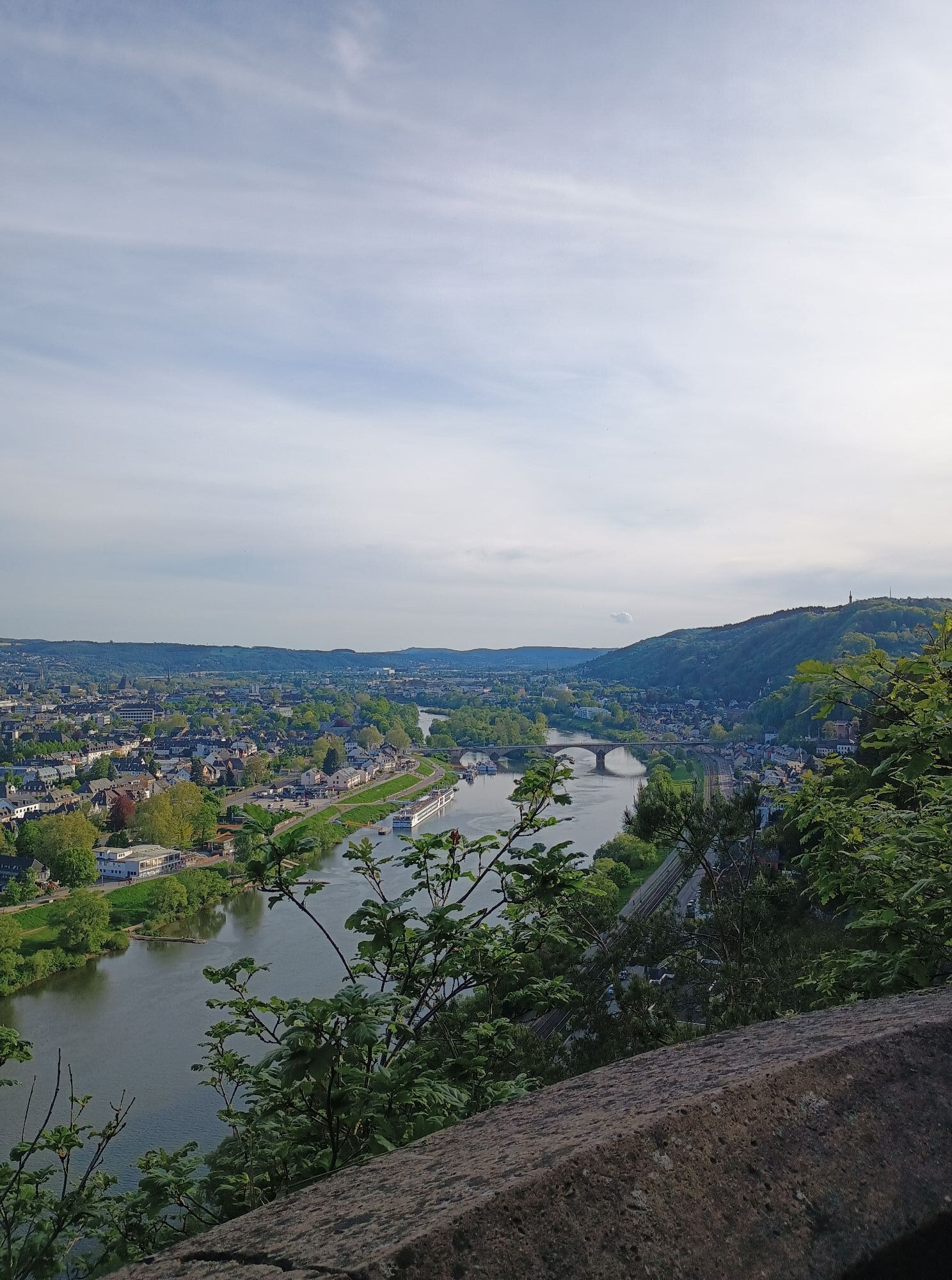
Hiking accompanied by incredible views: the fifth stage of the Moselsteig Trail will blow you away with its wealth of panoramic vistas deep down into the Moselle Valley. The trail initially follows a cliff...
Hiking accompanied by incredible views: the fifth stage of the Moselsteig Trail will blow you away with its wealth of panoramic vistas deep down into the Moselle Valley. The trail initially follows a cliff path along the edge of the slope, revealing incredible views of the Roman city of Trier. It then continues through splendid woodland, passing flowering meadows, until your destination appears far away on the horizon. The trail passes through fields and orchard meadows to Schweich on the Roman Wine Route. Be sure to stop off at one of the many inns for a perfect end to the day.
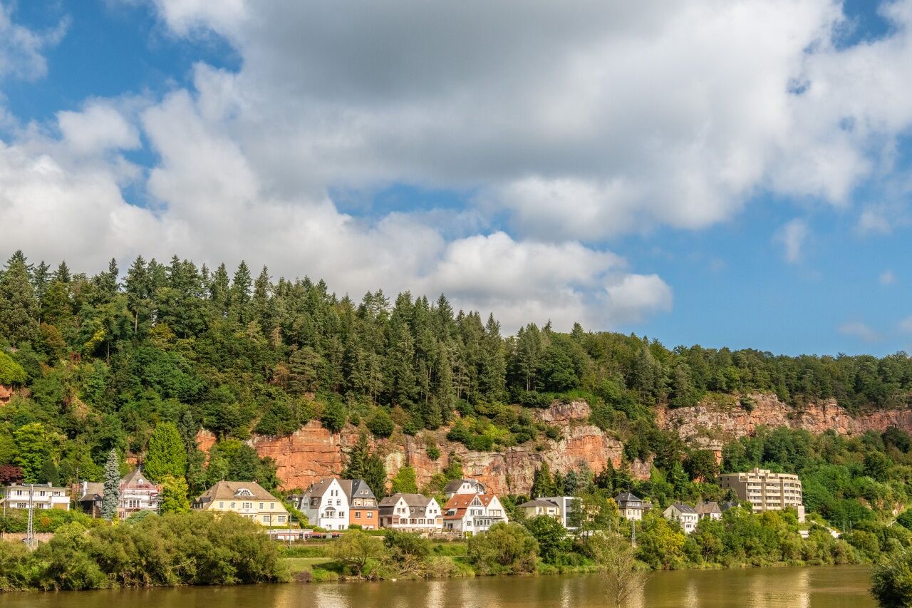
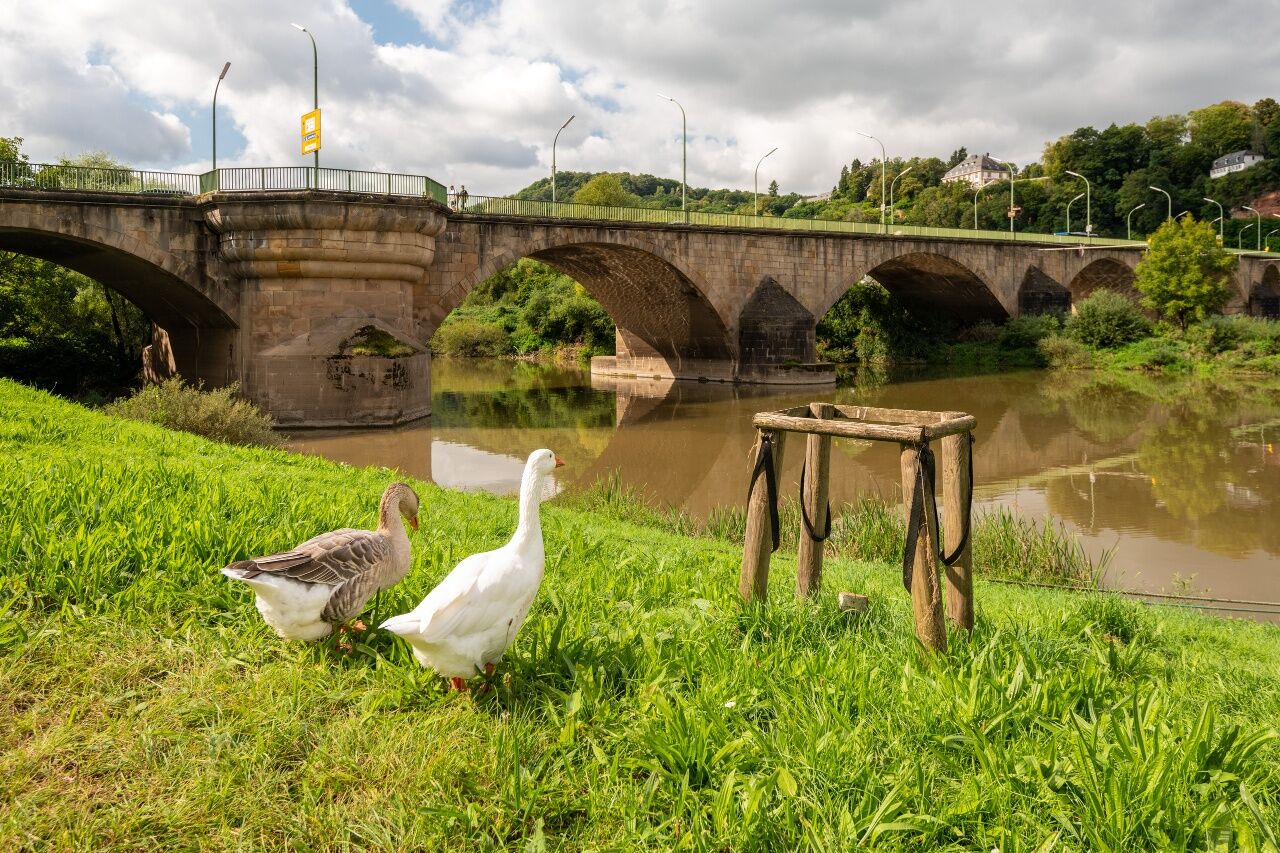

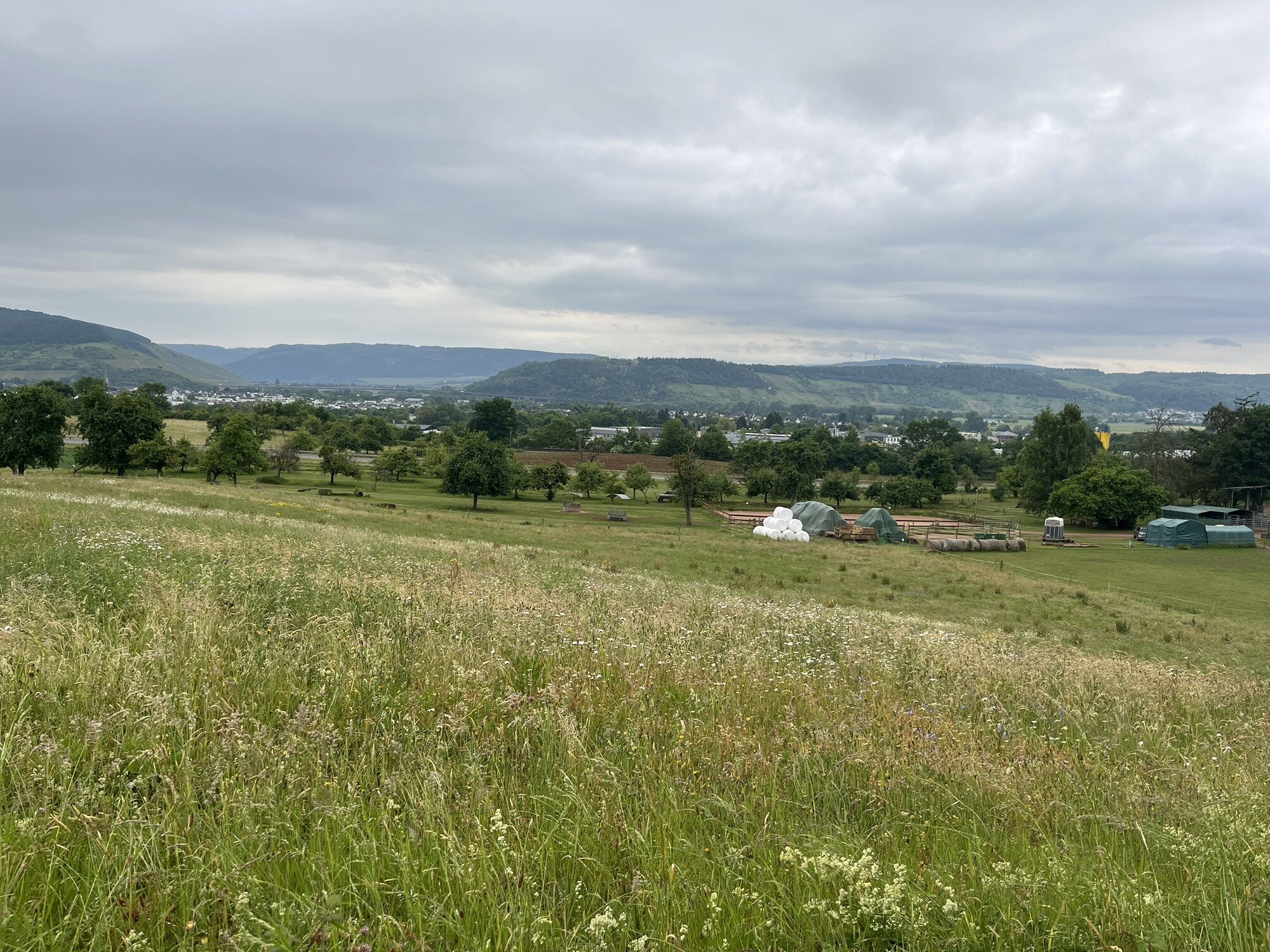
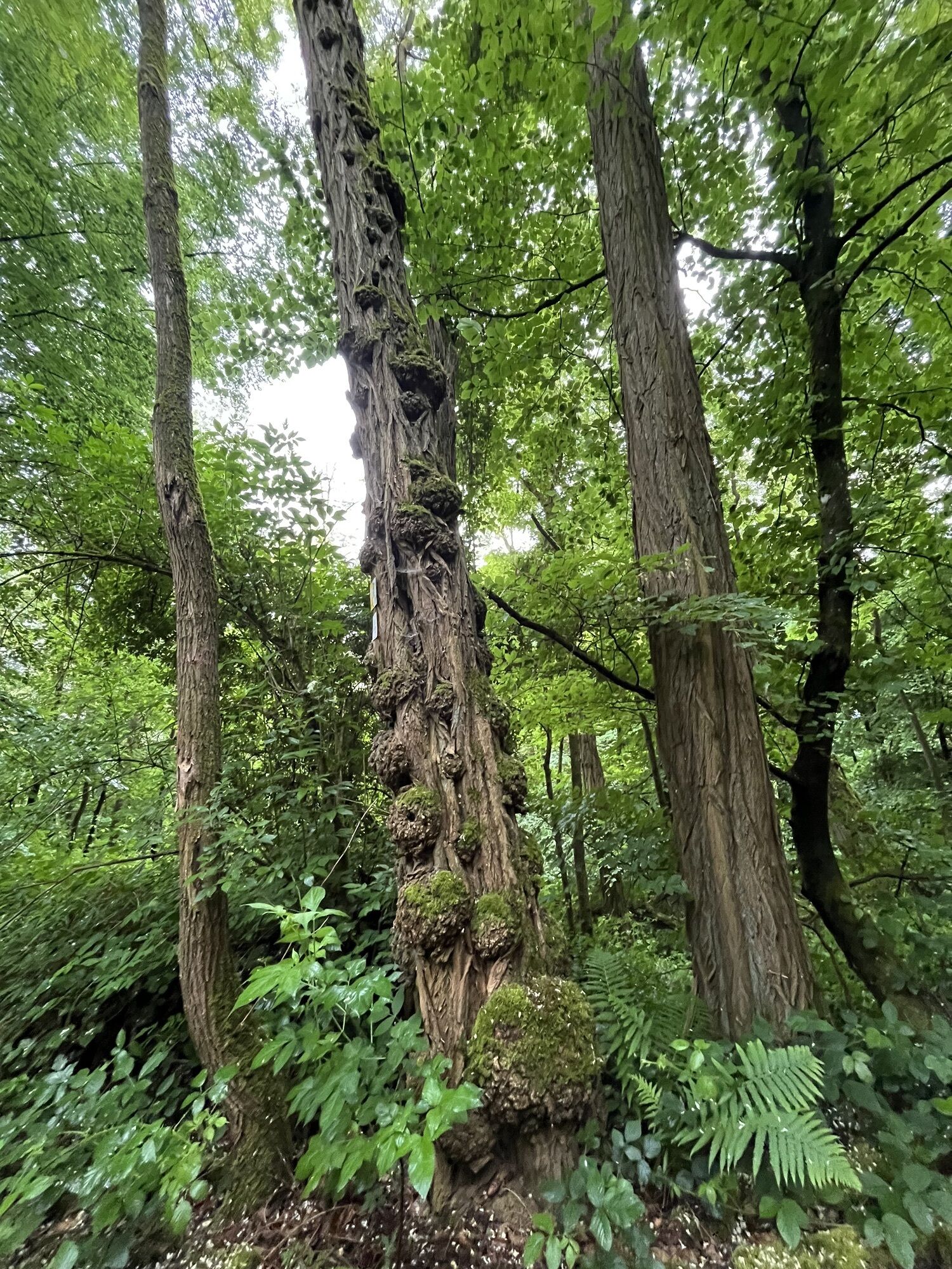
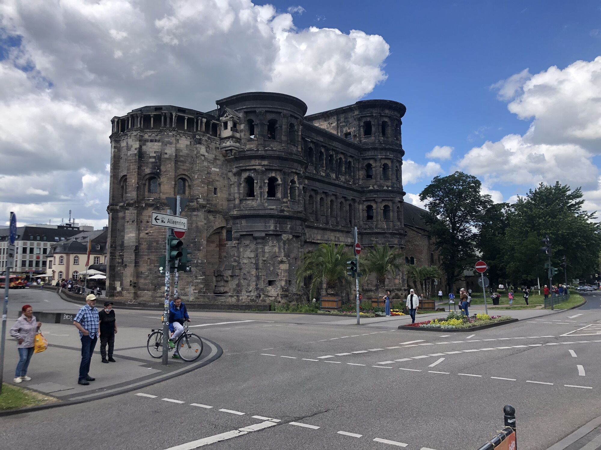
This tour starts at the Trier central railway station. From here, the leg first takes you to the Moselsteig Trail on an access route. Not far from the railway station you will pass the most famous monument in Trier: the Porta Nigra. Continue through the Nordallee, cross the Kaiser-Wilhelm bridge towards Weisshauswald, where the access route joins the main trail. The first section of this day trip takes you along the Eifel Tail, on the same route as the Moselsteig Trail. The Cliff Trail starts right behind the Weisshaus inn and continue close to the slope edge along the steep sandstone cliffs. Discover lots of viewing points with divine views of the city and the Moselle Valley. After crossing the ridge, the trail continues steeply downhill to Biewer and passes the edge of the small city district. The Moselsteig Trail leaves the Biewerer road at some steps and continues, together with the Eifel Trail up steep steps which change into an equally steep path with sandstone rock steps. At the end of the path you still have to continue a little further, again uphill - but now on a wider path to a small chapel where you can take a rest. The ascent continues through the forest and ends at the edge of the forest. The trail takes you through meadows and fields and gets very close to the Auf der Bausch city district. At the edge of the forest there is an ancient, huge oak which offers shade and is a beautiful place to rest. This is where the Moselsteig Trail and the Eifelsteig Trail separate again.
A well-developed forest path takes you to the Wallenbach Valley at a steady decline. Cross the B 52 through an underpass, and the Moselsteig Trail continues on the other side of the valley uphill into the forest. Hike through a varied forest and arrive at the Ehranger Kanzel. This upstream viewing point, which also has a mountain hut, boasts beautiful views of the northern part of the Trier Moselle Valley! In the distance you can already see the destination of Schweich, with its large vineyards. You will leave the Ehranger Kanzel on a steep downhill path. The trail takes you past huge sandstone rock towers to the valley. The Moselsteig Trail crosses the railway line and the Kyll, and you will find yourself in the centre of the city district of Ehrang.
Continue along the Kyllstraße road, through a restricted traffic area towards the church. The next ascent awaits you - it’s short but very steep. Accompanied by stations of the Way of the Cross, and over many steps you ascend to the Heide Chapel, which is also the endpoint of the Way of the Cross. There is a stunning viewing point just behind the chapel, on the red sandstone cliff. Sit on benches at the Friedenskreuz (Peace Cross) and enjoy a beautiful view of the very wide Moselle Valley and the Trier city districts of Kenn and Ehrang. Also, take a good look of the Ruwer Valley and beyond to the Hunsrück. To the East, the view is clear right to the end of the leg at Schweich.
The trail continues on the nearby slope edge, passes a few houses, and finally takes you to the edge of the Auf der Heide village back into the high forest. Here, the wide path is an easy walk, and a little later the tail continues steeply downhill. The trail reaches the edge of the forest which offers you a view of the Quint city district. Passing the cemetery you continue towards the Quint stopping point, where the Moselsteig Trail crosses the railway line and the road. Walk through the new residential area and along the railway line and then cross the country road towards Schweich. On the opposite side of the road, the Moselsteig Trail continues on a path into the forest. Where the path meets the forest path, an access route takes you to the forester’s lodge in Quint: Discover the modern nature trail here, which lots of things to learn! The Moselsteig Trail, however, continues through the forest, passes a hiking parking area and the Haardthof residential area. Finally, you leave the forest. The next section boasts fields and meadows with lots of fruit trees and takes you to the outskirts of Schweich. After the railway underpass, an access route takes you to the railway station or through the new residential area to the city centre of Schweich. This stage ends near the Stefan-Andres fountain.
Leisure Map Moselsteig Trail – Map 2: Trier - Zell (Mosel) (Stages 5 - 14), ISBN: 978-3-89637-420-2
Sturdy hiking footwearAppropriate weatherproof hiking gearPicnic lunch
Starting point: Trier via the A 602 or the B 51/B 49
Destination: Schweich via the A 1 (Schweich exit) or via the B 53
There are regular connections. Please note that during the school vacations of Rhineland-Palatinate / Saarland, at weekends and on public holidays there may be restrictions on the frequency! Please refer to the timetable information on the website of the Verkehrsverbund Region Trier (VRT) for the daily timetable: www.vrt-info.de
Trier: There is no free parking at the railway station or in the city centre, although the Weisshauswald hikers' car park (directly on the Moselsteig Trail) close to the university can be used.
Schweich: There are parking spaces close to the Stefan-Andres fountain and on Bernhard-Becker-Straße. There is also parking available at Schweich railway station.
Be sure to take binoculars with you: The cliff path between Weisshaus and Biewer affords splendid views of the sights and attractions of Trier, such as the Porta Nigra and the Basilica of Constantine.
Získejte přehled
Vždy živě na místě s více než 9 500 webkamerami. bergfex Jako uživatel Pro si nyní můžete zobrazit odpovídající webové kamery pro mnoho prohlídek v aplikaci prohlídky z. Můžete si tak přímo prohlédnout aktuální podmínky.

Oblíbené prohlídky v okolí
-
5.0
Moselsteig stage 07: Mehring – Leiwen
střednídálková pěší trasa 14.5 km -
4.5
Basilique Saint-Willibrord - Méchelskierch - Saint-Remi - Honsréck
středníTuristika 36.8 km -
4.3
Mosel Cycle Path Section 4: From Mehring to Piesport
světloCyklistika na velkou vzdálenost 25.5 km -
5.0
Moselsteig stage 05: Trier – Schweich
střednídálková pěší trasa 20.0 km -
Moselsteig stage 04: Konz – Trier
střednídálková pěší trasa 21.0 km -
5.0
Moselsteig stage 06: Schweich – Mehring
střednídálková pěší trasa 12.4 km -
5.0
Mosel Cycle Path Section 3: From Trier to Mehring
světloCyklistika na velkou vzdálenost 25.4 km -
Star route around Trier - Route 2: On the Mosel Cycle Route from Neumagen-Dhron to Trier
světloJízda na kole 45.0 km -
5.0
Mehring - Anjas Ruh - Mehringer Schweiz
středníTuristika 14.1 km -
5.0
LAGENLIEBE Weinwanderweg Schweich – Route B: Annaberg Steillage & Moselblick (Kurzrunde)
světloTuristika 4.66 km
Pěší turistika a stopování


Nenechte si ujít nabídky a inspiraci pro vaši příští dovolenou
Vaše e-mailová adresa byl přidán do poštovního seznamu.





