







Welterbesteig Oberes Mittelrheintal Stage 6 Hirzenach - Boppard
Another royal stage awaits: fitness is required, both in terms of distance and especially the metres in altitude that have to be overcome, some of them right at the beginning up to the vantage point Europakanzel...
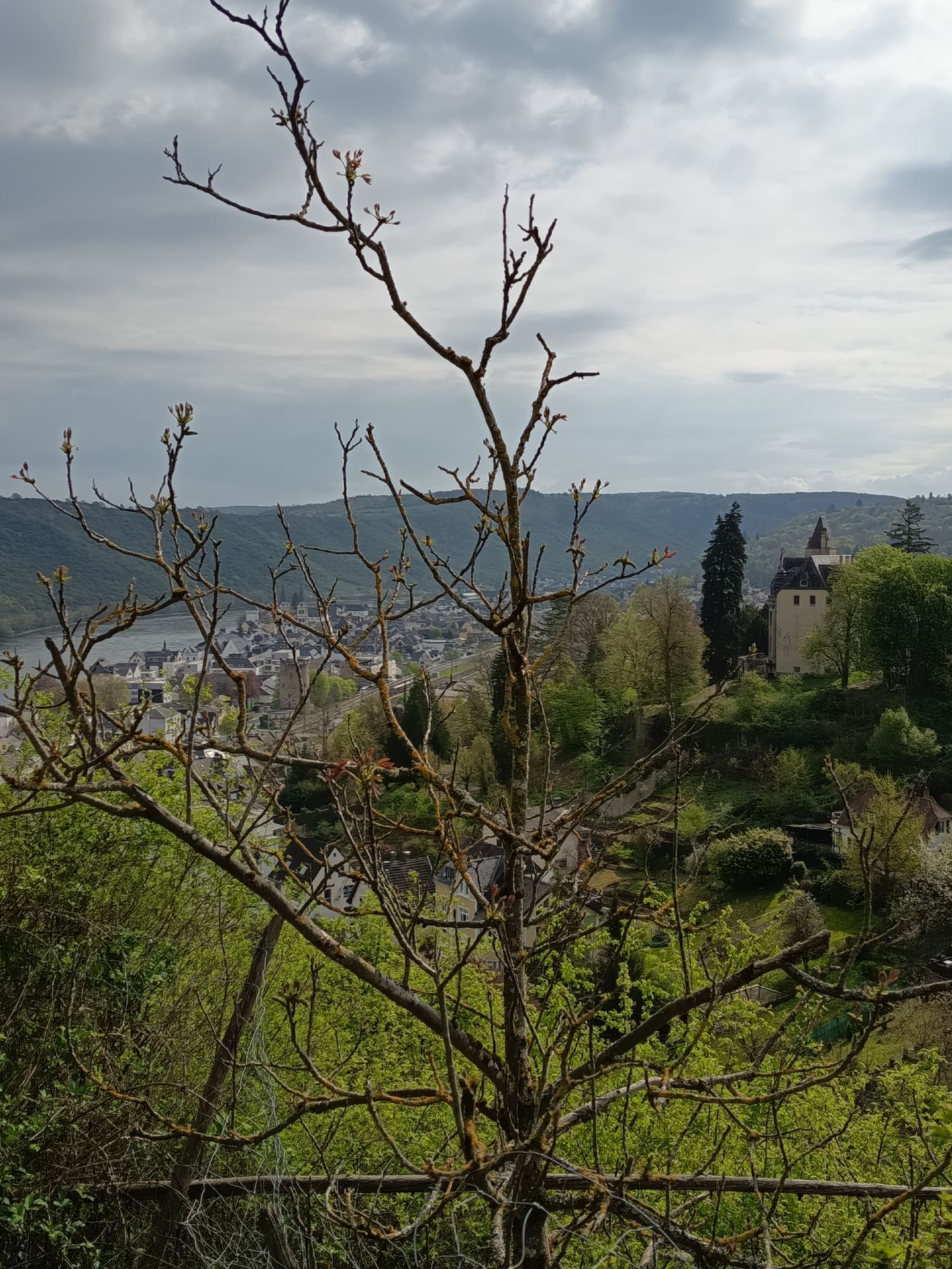
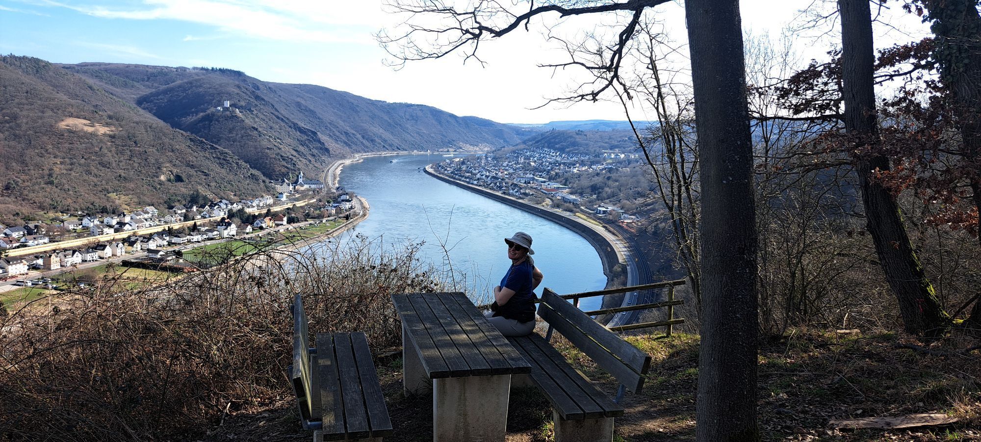
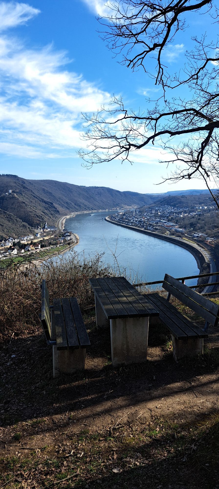
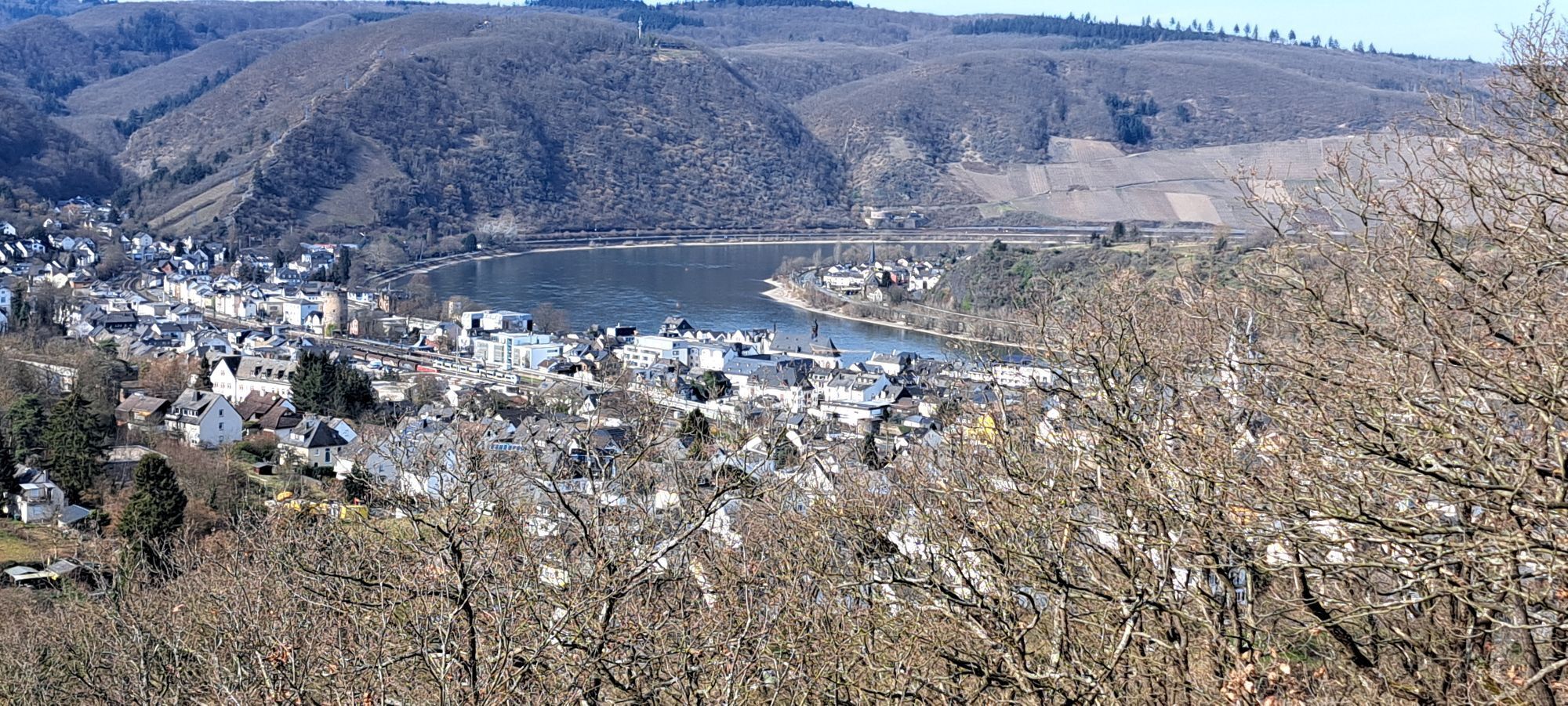
Another royal stage awaits: fitness is required, both in terms of distance and especially the metres in altitude that have to be overcome, some of them right at the beginning up to the vantage point Europakanzel as well as the following short climb over an exposed rocky outcrop. You should be free from giddiness here. For once, there is no viniculture on this stage, but there will be all the more later. Old fortification walls, however, bear witness again and again to terracing for fruit cultivation.Up to the donkey path through the Weilerbach, the trail follows the top-rated Rheingold premium hiking trail, then the "Fünf-Seen-Blick" dream loop to the spa gardens in Bad-Salzig. The Liebenstein and Sterrenberg castles, known as the "enemy brothers", come into view relatively early above the pilgrimage town of Kamp-Bornhofen and accompany the hiker on their way along the orchards on the Boppard Eisenbolz.From the Thonethütte high above Boppard, the view opens up to the Filsener Ley opposite, before the path meanders downwards shortly afterwards at the Eisenbolzkopf into the park of the former Marienberg monastery.After about 13 km, the southern end of Boppard, the "Pearl on the Rhine", is reached and the town centre with the railway station is close by. A good part of the route has been covered.For those who want and are able to do more: the renewed ascent towards the Hunsrück heights through the Bruder-Michels and Josefinental valleys to the Kreuzberg mountain just demands more strength from the hiker. The curve (approx. 6 km) to the northern Mühltal valley is worthwhile, because soon you can enjoy the view of the Vierseenblick and the Bopparder Hamm vineyard with the former Jakobsberg monastery on the Rhine bend and thus at the same time the preview of the next hiking stage.

Surefootedness and head for heights
Good shoes and sufficient drinks are obligatory.
Autobahn:
Bingen: A 60 exit Bingen-Ost
Bacharach: A 61 exit Rheinböllen
St. Goar: A 61 exit Emmelshausen
Oberwesel: A 61 exit Laudert
Hirzenach: A 61 exit Emmelshausen
Boppard: A 61 exit Boppard-Buchholz
Rhens: A 61 exit Paffenheck
Koblenz: A 61, A 48
Since there is a railway station in almost every town on the left bank of the Rhine, the tours can be planned individually. This also makes it very easy to hike from a fixed location.For your orientation, here are the journey times between the individual stations by regional train:Bingen HbF - Techtingshausen: 4 min.Trechtingshausen - Niederheimbach: 4 min.Niederheimbach - Bacharach: 3 min.Bacharach - Oberwesel: 4 min. Oberwesel - St. Goar: 6 min.St. Goar - Hirzenach: 4 min.Hirzenach - Bad Salzig: 3 min.Bad Salzig - Boppard: 4 min.Boppard HbF - Spay: 5 min.Spay - Rhens: 3 min.Rhens - Koblenz HbF: 7 min.Bingen HbF - Koblenz HbF: 48 min.
Bacharach: On the B9 Rhine bank
Oberwesel: B9 town wall and Rhine bank
St. Goar: On the B9 Rhine bank
Hirzenach: Rheinstraße
Boppard: Marienberg parking deck, Remigiusplatz Mühltal
Probably not at the end of this more strenuous stage, but perhaps on another visit to Boppard:Visit to the Roman fort and the museum in the Electoral Castle.Ride the Hunsrück Railway, one of the steepest routes north of the Alps through over two viaducts and 5 tunnels.For individual tour planning: End the stage in Boppard/Marienbergpark and plan an additional overnight stay. On the second day, you can then comfortably hike the last 6 km into the Boppard Mühltal, leaving time on both days for the excursion tips.There is a ferry connection to the right side of the Rhine at Filsen.
Oblíbené prohlídky v okolí
-
4.6
Traumschleife Ehrbachklamm
heavyTuristika 11.0 km -
4.6
Langhalsweg Osterspai
středníTuristika 7.50 km -
5.0
Traumschleife Mittelrhein
heavyTuristika 14.7 km -
4.6
Panorama Trail St. Goar
středníTuristika 8.47 km -
5.0
Kaub - Burg Herzogenstein - Spitznack - Hasenberg
heavydálková pěší trasa 22.1 km -
4.8
Murscher Eselsche Dream Loop
středníTuristika 10.7 km -
4.7
Dommershausen - Steffenshof - Schmausemühle - Beltheim
heavyTuristika 10.4 km -
4.5
Boppard - Restaurant Cafe Vierseenblick - GedeonsEck
heavyTuristika 4.99 km -
4.3
Dream loop Werlauer Pilz
světloTuristika 5.60 km -
4.5
Traumschleife Elfenlay
heavyTuristika 11.4 km

Pěší turistika a stopování


Nenechte si ujít nabídky a inspiraci pro vaši příští dovolenou
Vaše e-mailová adresa byl přidán do poštovního seznamu.





