







AhrSteig Stage 6: Walporzheim to Bad Neuenahr Mitte (15.7 km)
Before the actual stage start, a visit to the historic old town of Ahrweiler, as well as the Roemervilla Museum and the Government Bunker documentation site, is worthwhile. Starting at the entrance to...
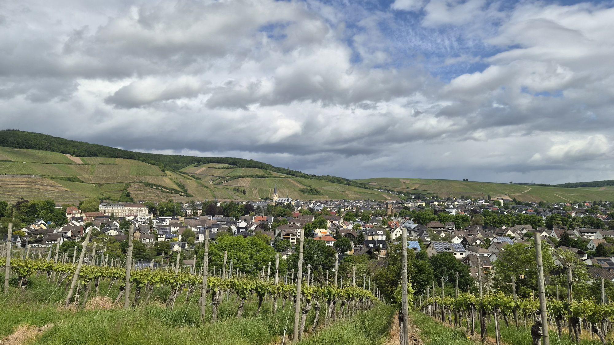
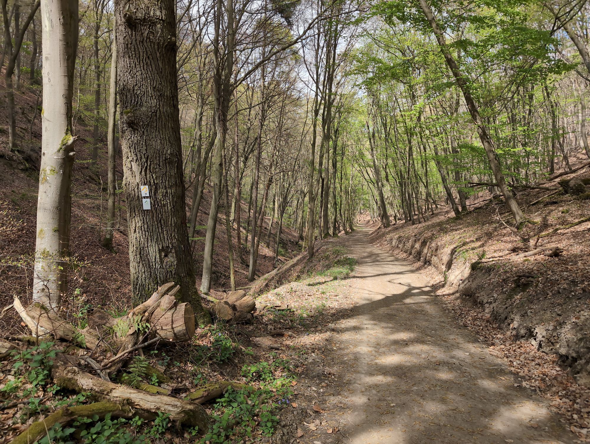
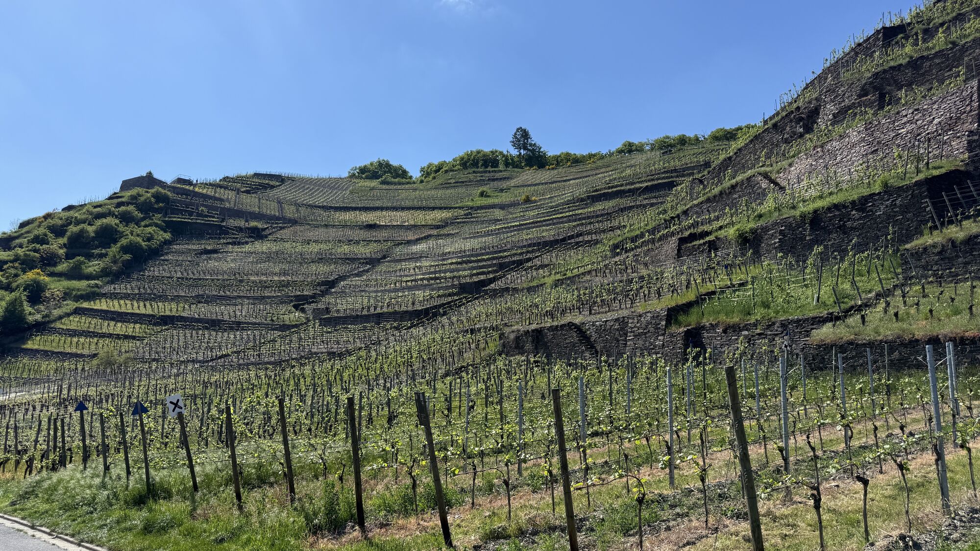
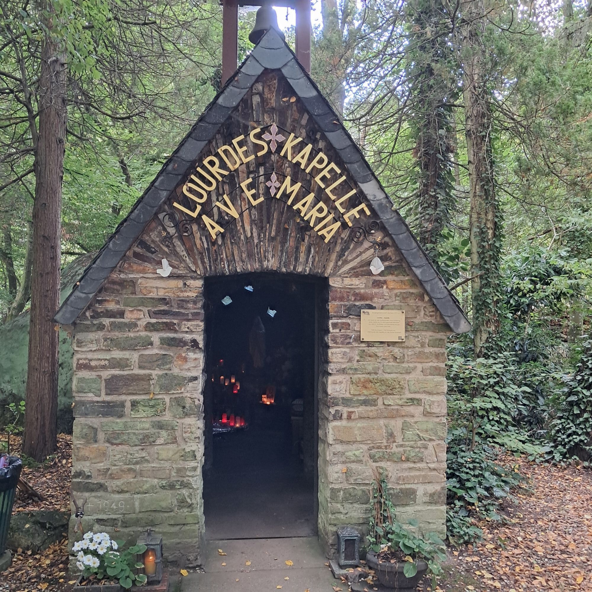
Before the actual stage start, a visit to the historic old town of Ahrweiler, as well as the Roemervilla Museum and the Government Bunker documentation site, is worthwhile. Starting at the entrance to the Heckenbach Valley, the route begins through shaded riparian forests past the Calvarienberg Monastery, through the vineyards to the Lourdes Chapel. Past the Karlsberg viewpoint, one walks through the Neuenahr forest to the forest climbing park. Over the 3 km marked access path, it then goes steeply downhill to Bad Neuenahr. Spacious parks and magnificent town villas come into view.
Current route info:
Stages 5 & 6: Detour between Alfred-Dahm-Tower and Ahrweiler (Status 1/24)
In the Walporzheim area between Alfred-Dahm-Tower and Ahrweiler, the AhrSteig is detoured due to construction and flood damage. Please follow the detour markings.
Map of detour route
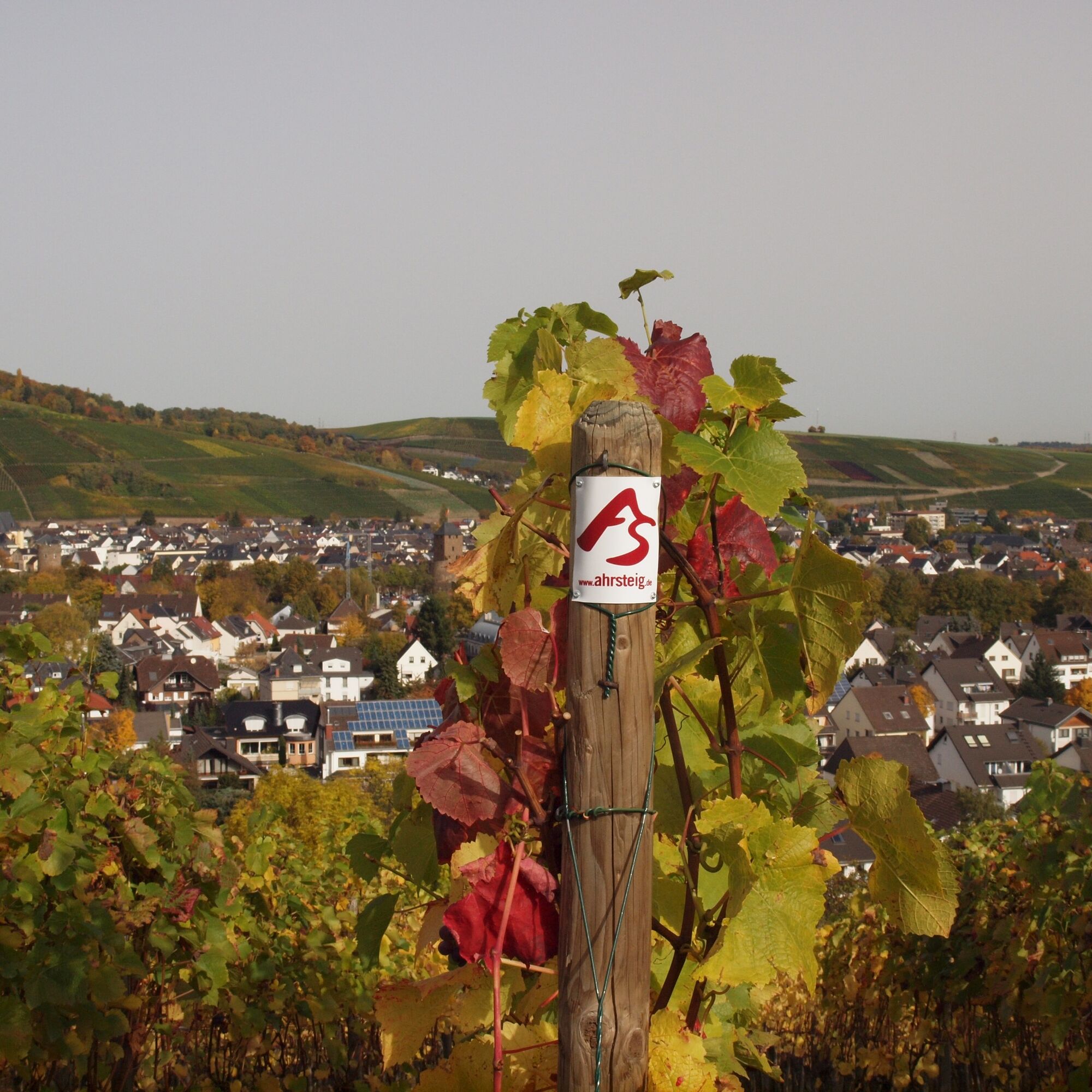
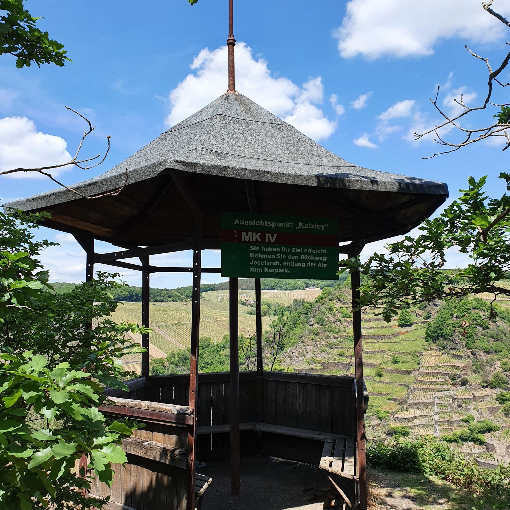
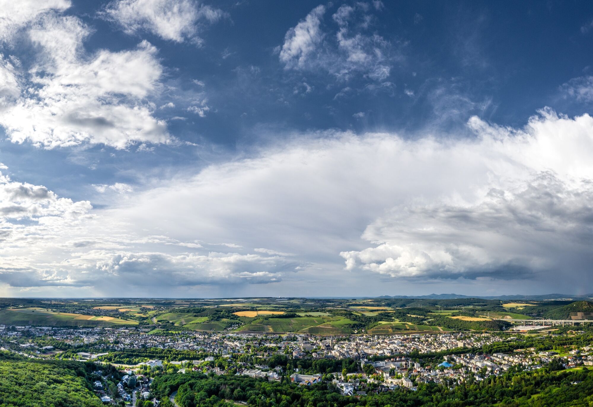
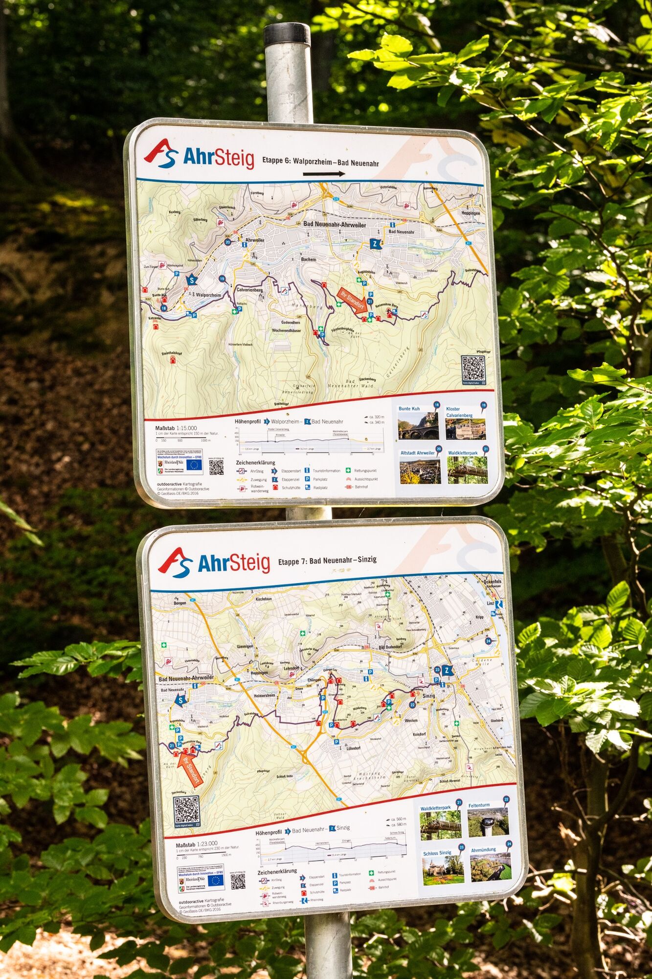
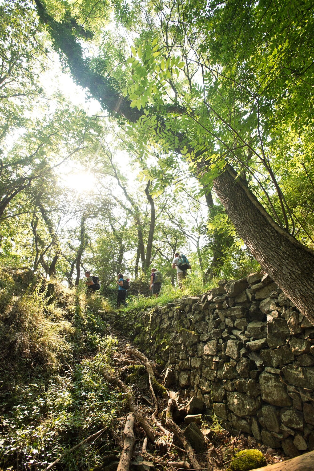

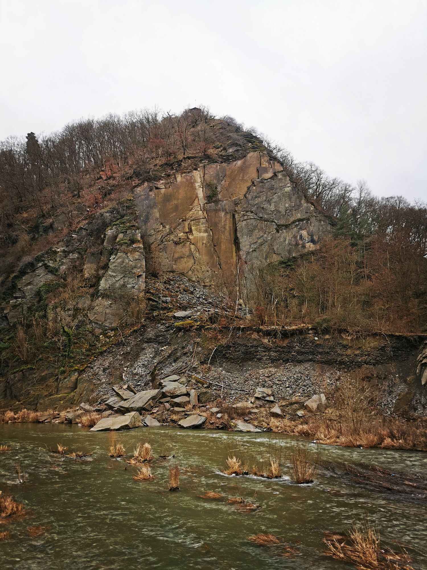
From the temporary bridge in Walporzheim at the entrance to the Heckenbach Valley, we follow the path along the Heckenbach past the Heckenbach Chapel up to the Geisbachtal shelter. After a left turn, the path leads back towards the Ahr. Here, a detour to the Katzley viewpoint is worthwhile. Then it continues on to the Wingsbachtal parking lot at the Maibach Gorge.
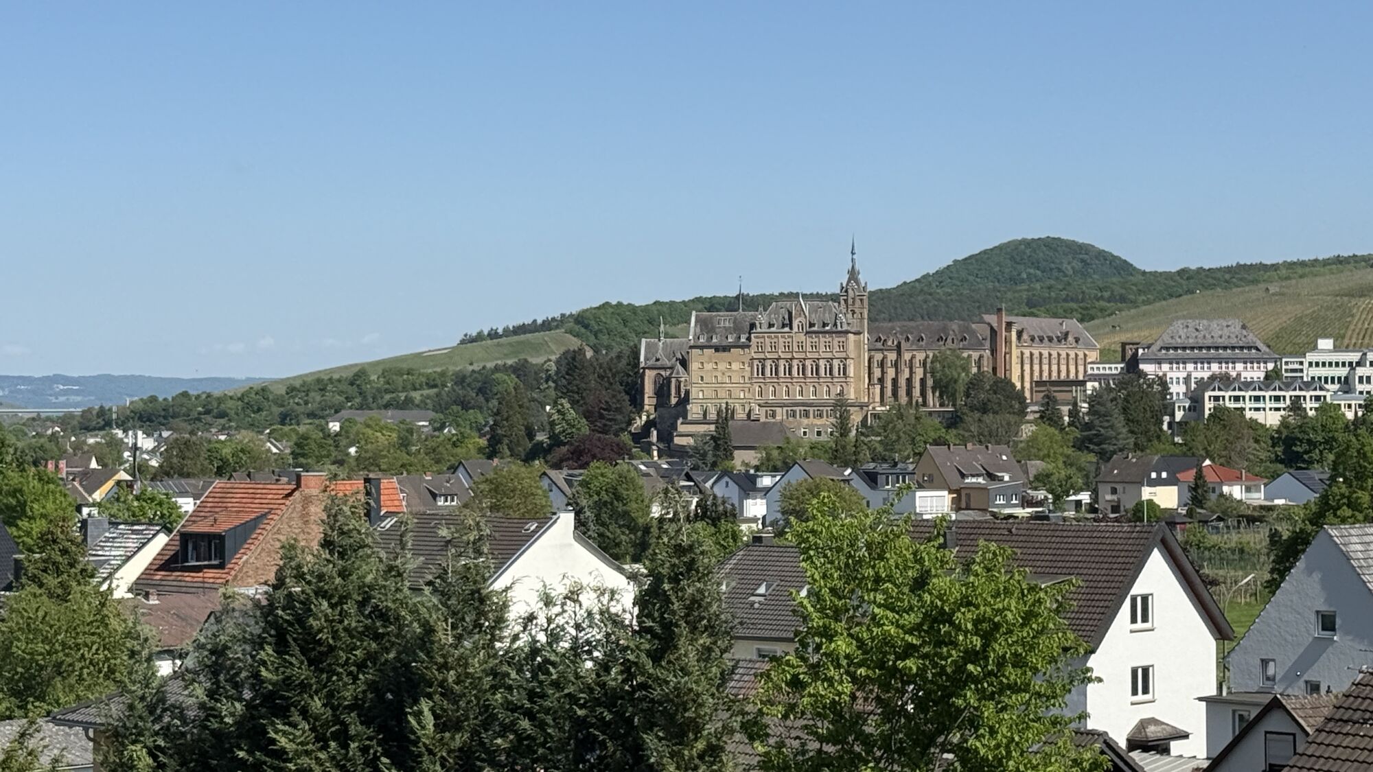
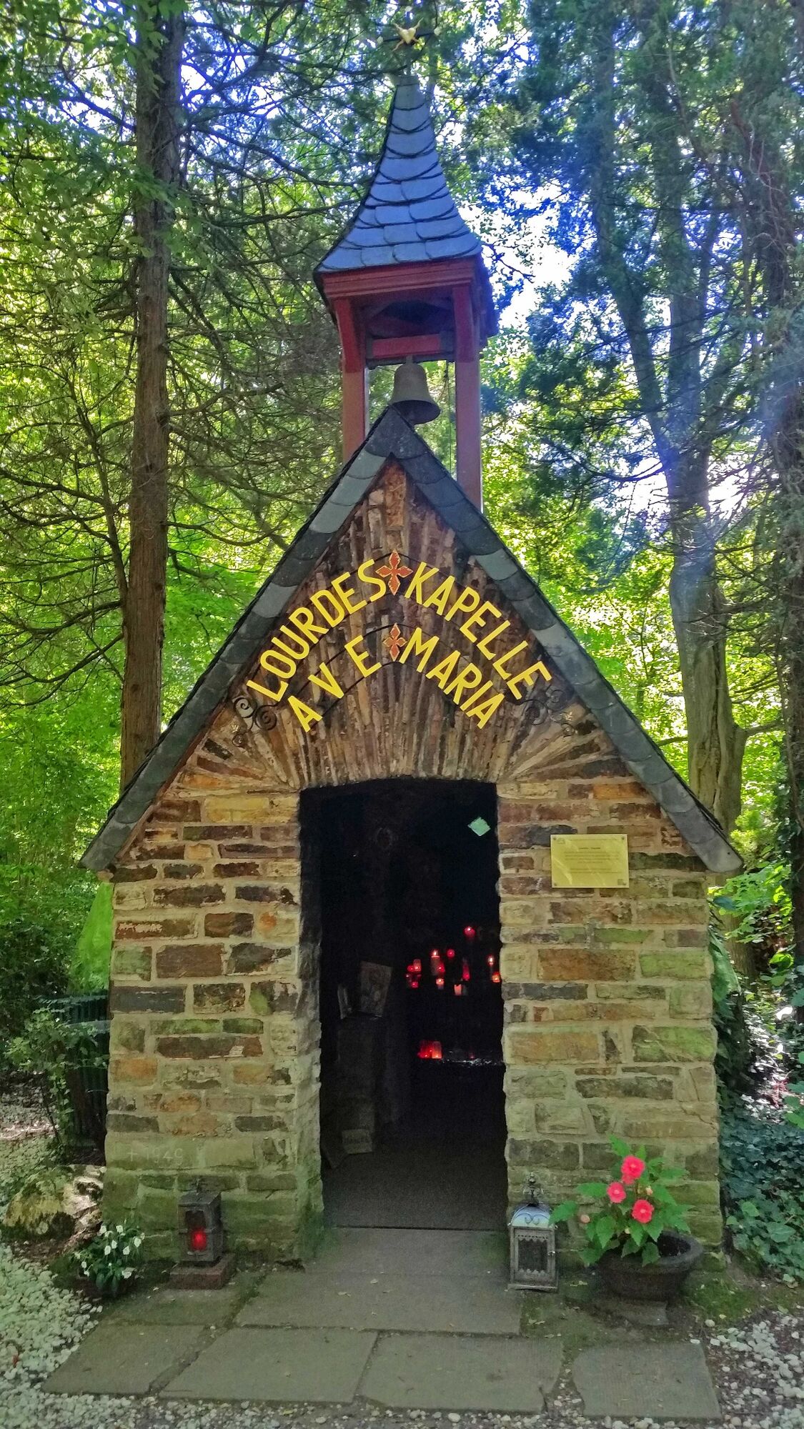
The path now takes us past the former Ursuline convent into the vineyards above Bad Neuenahr. Gradually we gain elevation until we – now back in the forest – begin the descent into the valley of the Bachemer Bach, where near the end of the valley, the small Lourdes Chapel awaits the hiker.
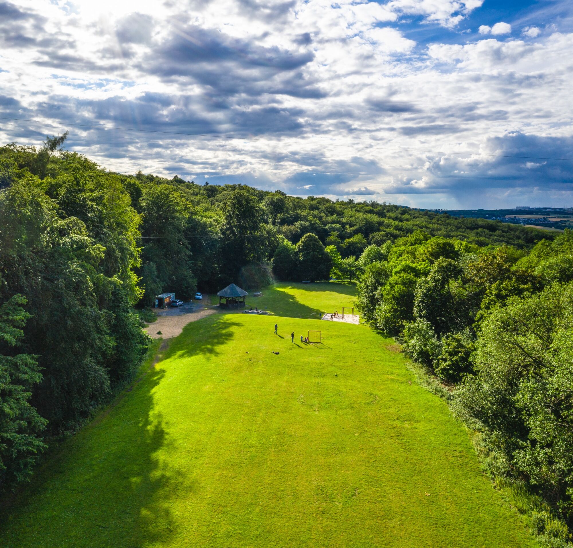
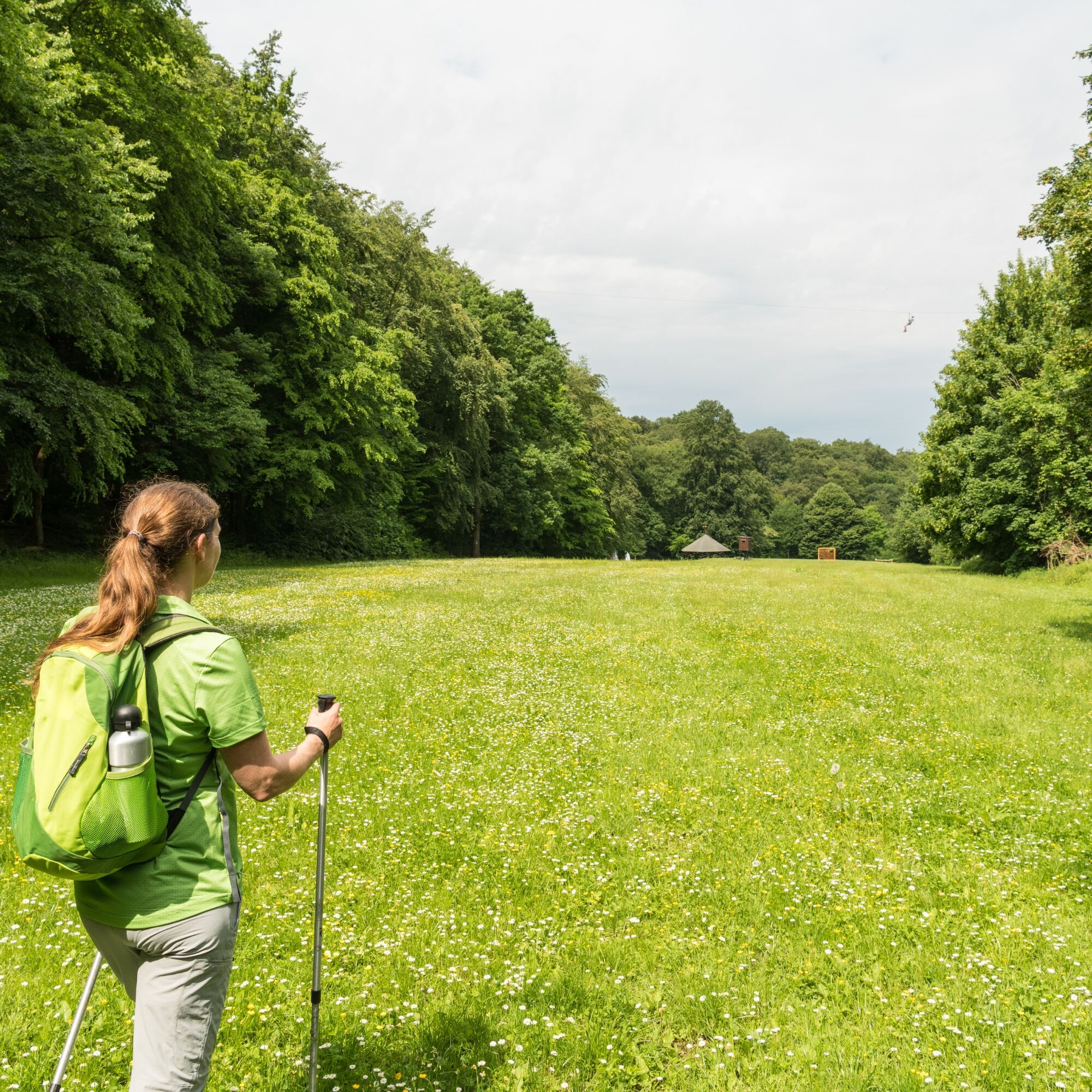
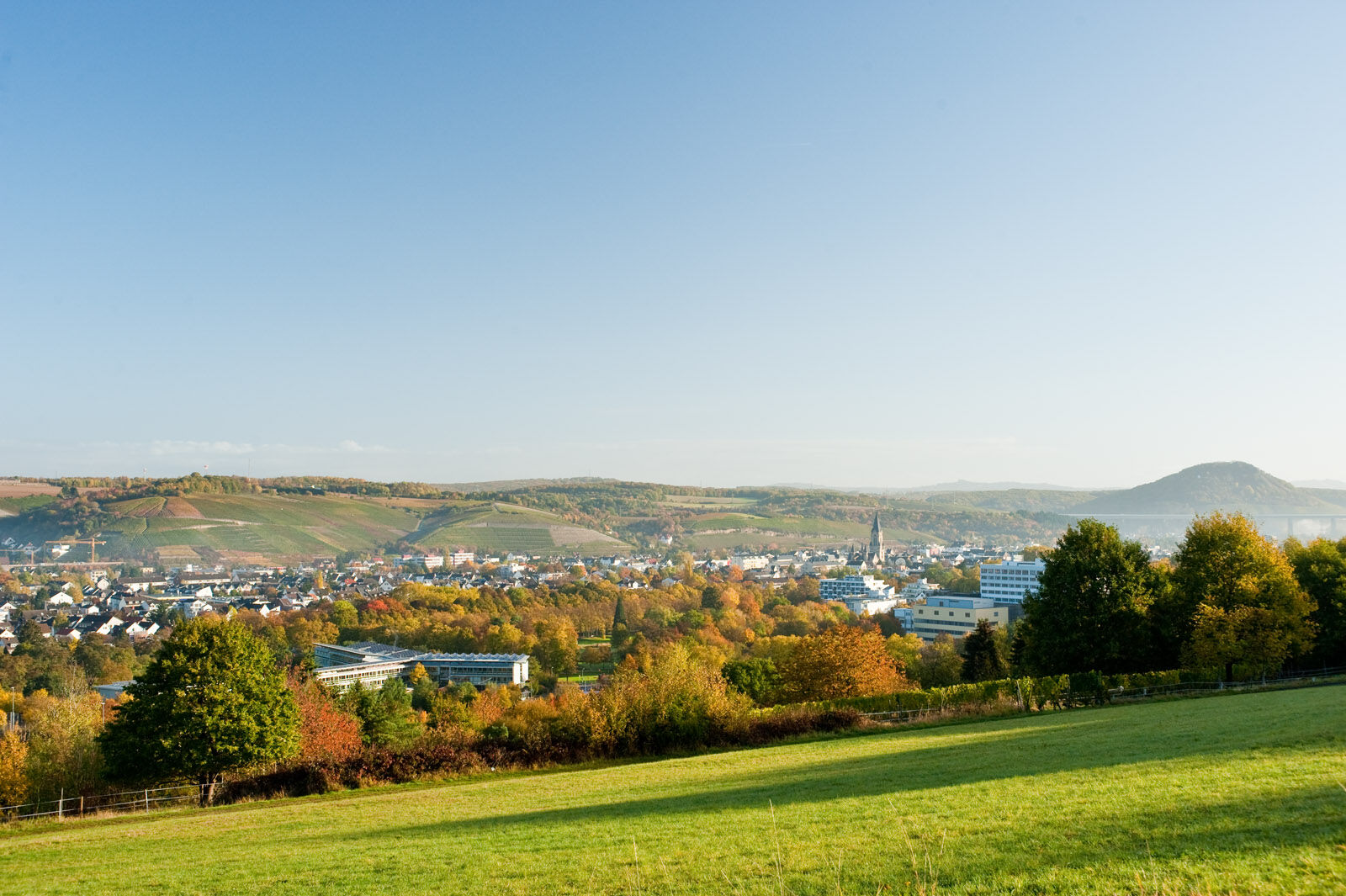
After a quiet pause, we slowly conquer the ascent to the Karlskopf. Above Bachem, the view opens over the vineyards down to the lively twin town of Bad Neuenahr-Ahrweiler. But immediately we go back into the Bad Neuenahr forest. After a short descent, we reach the Paradise Meadow and the forest climbing park. Those looking for a special thrill can swing here 30 m high once across the meadow and back, hanging only in their own harness on the guide rope.
Sturdy footwear and hiking equipment recommended.
Surefootedness and sturdy footwear are required!
A61 to the Bad Neuenahr-Ahrweiler motorway interchange, continue on the A573 and the B266 to Walporzheim.
By Ahrtalbahn to Walporzheim.
Hiking parking lot on Prümer Straße in Walporzheim
Ahrtal Tourism Bad Neuenahr-Ahrweiler e.V.
Oberstr. 8
53474 Bad Neuenahr-Ahrweiler
Tel: (02641) 9171-0
Fax: (02641) 9171-51
E-mail: info@ahrtal.de
Internet: www.ahrtal.de
From the forest climbing park, it is just under 3 km on the access path down to Bad Neuenahr.
Získejte přehled
Vždy živě na místě s více než 9 500 webkamerami. bergfex Jako uživatel Pro si nyní můžete zobrazit odpovídající webové kamery pro mnoho prohlídek v aplikaci prohlídky z. Můžete si tak přímo prohlédnout aktuální podmínky.

Oblíbené prohlídky v okolí
-
4.0
Teufelsloch-Höhenwanderung
středníTuristika 7.44 km -
5.0
Round route Bad Neuenahr No. 5 - Through the Ramersbach Forest
středníTuristika 9.31 km -
Weinwanderung Dernau nach Ahrweiler
Turistika 23.4 km -
4.7
Rundwanderung Rech / Steinerberg
středníTuristika 14.2 km -
5.0
Kasbachtal
světloTuristika 10.2 km -
Burg Are - Engelsley Nord - Süd und im Tal zurück
heavyHorská turistika 3.63 km -
5.0
Leichte Rund-Wanderung Dernau / Mayschoß
světloTuristika 5.46 km -
3.5
Rund um die Safenburg
světloTuristika 8.10 km -
5.0
Rund um Mayschoß und Altenahr
středníTuristika 17.3 km -
5.0
AhrSteig Etappe 5: Kreuzberg-Walporzheim
dálková pěší trasa 14.6 km
Pěší turistika a stopování


Nenechte si ujít nabídky a inspiraci pro vaši příští dovolenou
Vaše e-mailová adresa byl přidán do poštovního seznamu.





