







Mosel Cycle Path Section 9: From Cochem to Löf

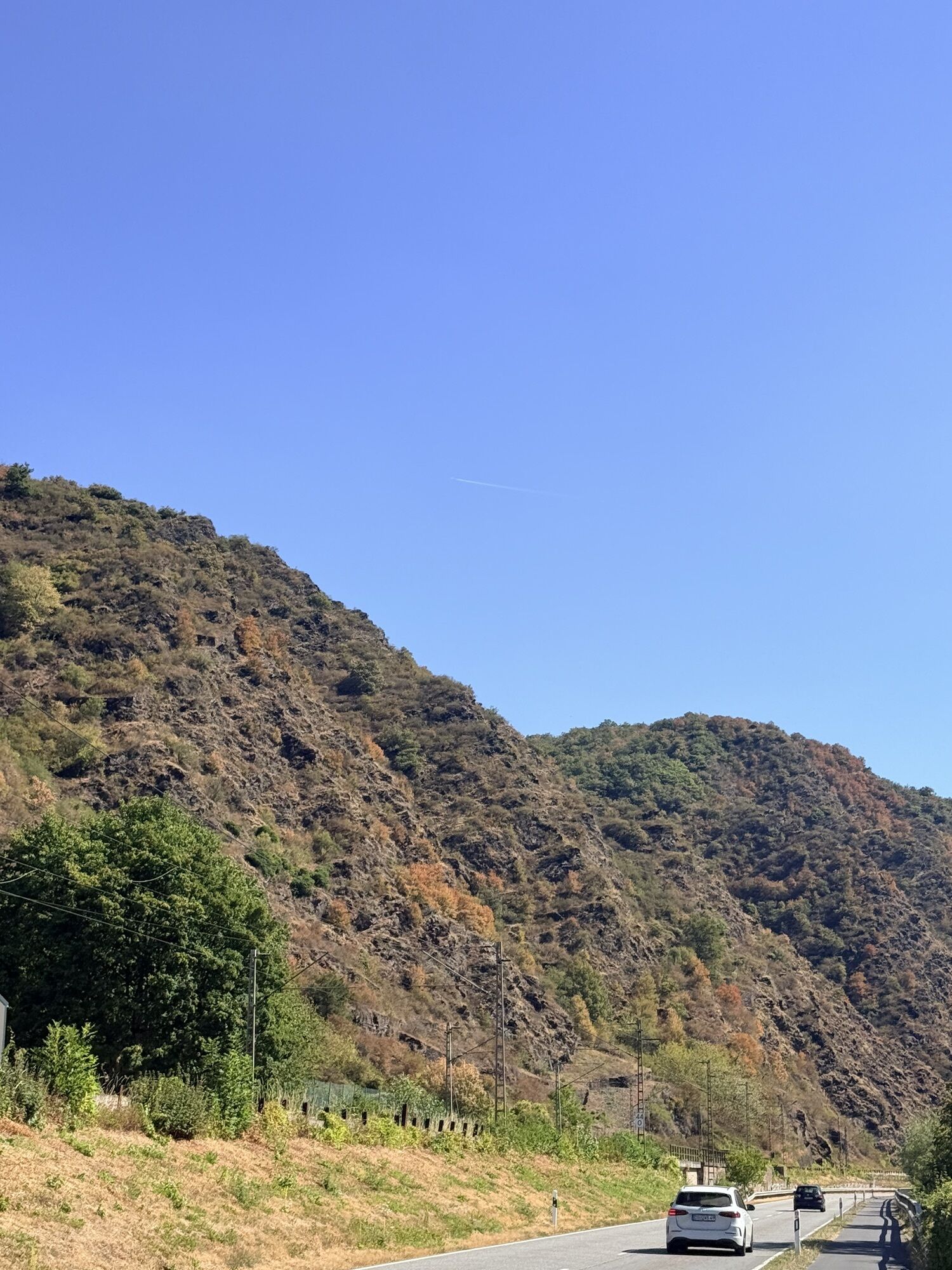
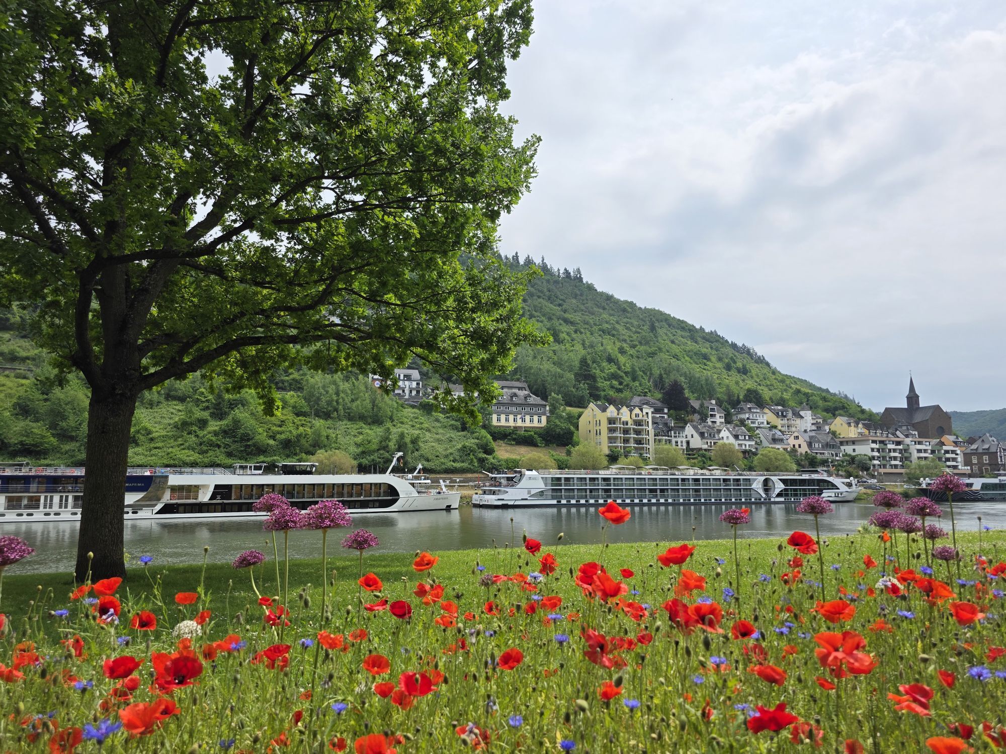
This stretch between Cochem and Löf surprises with its many castles. The cycle tour starts with a view of the majestic Reichsburg and leads along the left bank of the Moselle, via Klotten and Pommern,...
For a detour to the medieval Eltz Castle, one of the most beautiful and best preserved castles in Germany, follow the cycle path on the left bank to Moselkern. From here, a 4.5 km-long path leads up to the castle.
However, the main Moselle Cycle Route passes over the bridge to Treis, from where the tour continues on the right bank. Brodenbach, with its imposing Ehrenburg Castle, situated on a steep spur of rock, is then reached via Burgen. An approximately hour-long walk leads up to the majestic castle from the 12th century. Another short stretch and a bridge crossing takes you to Löf, the destination for this part of the tour.

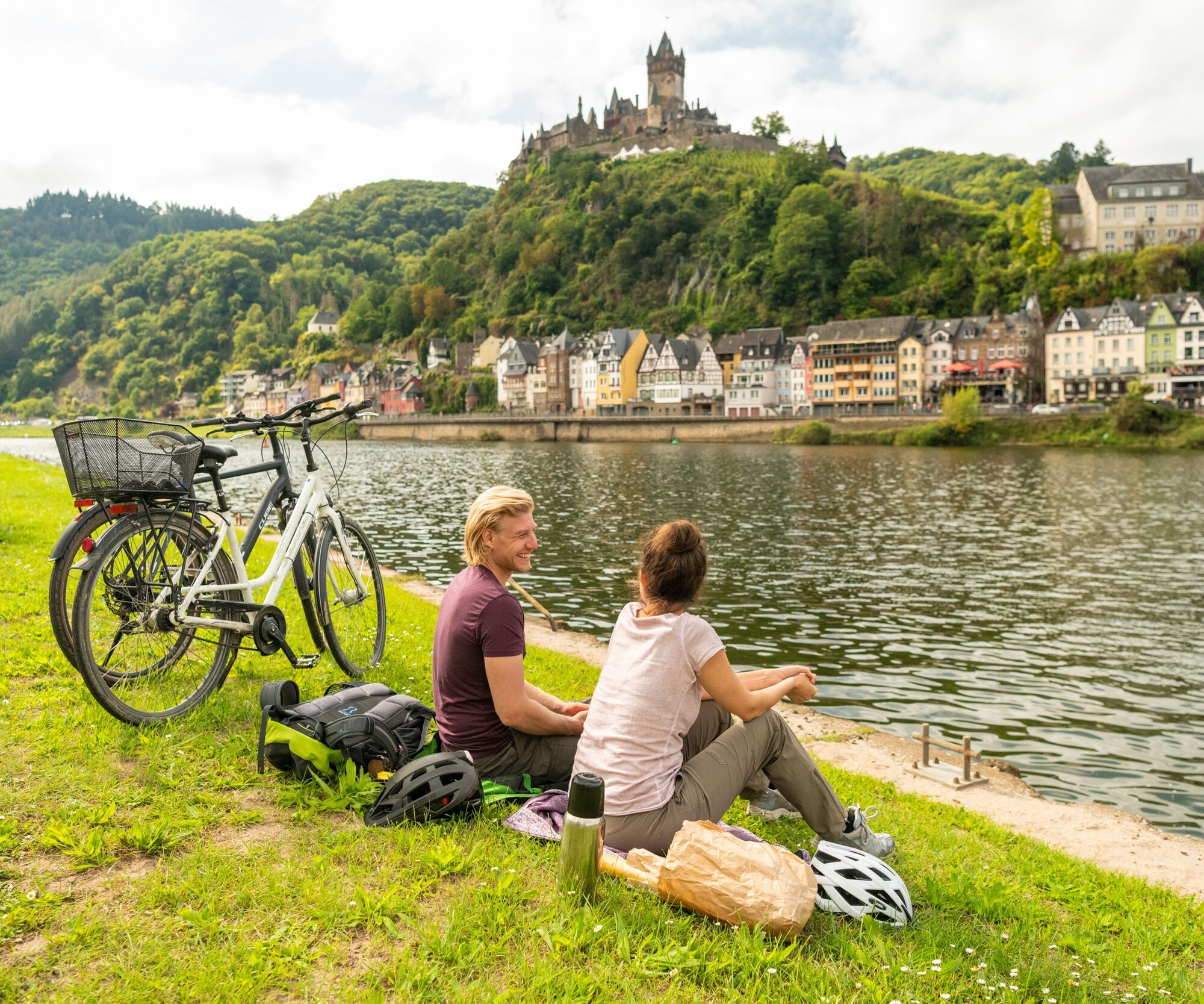
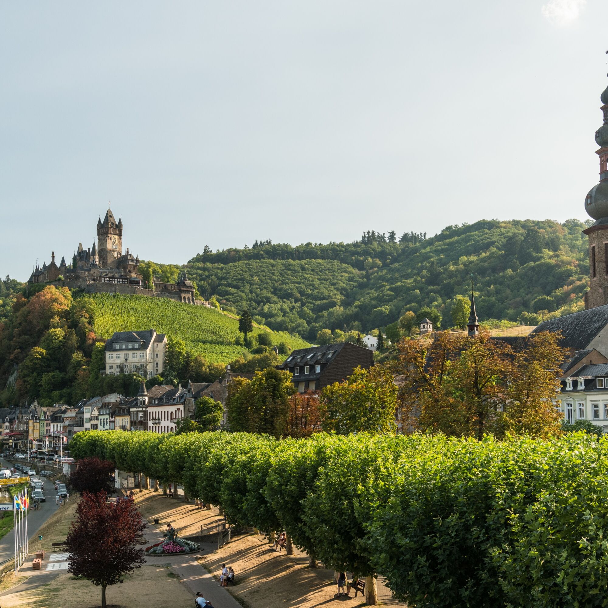
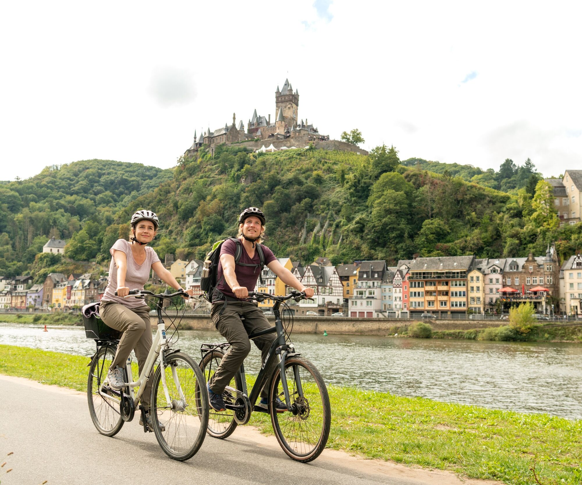
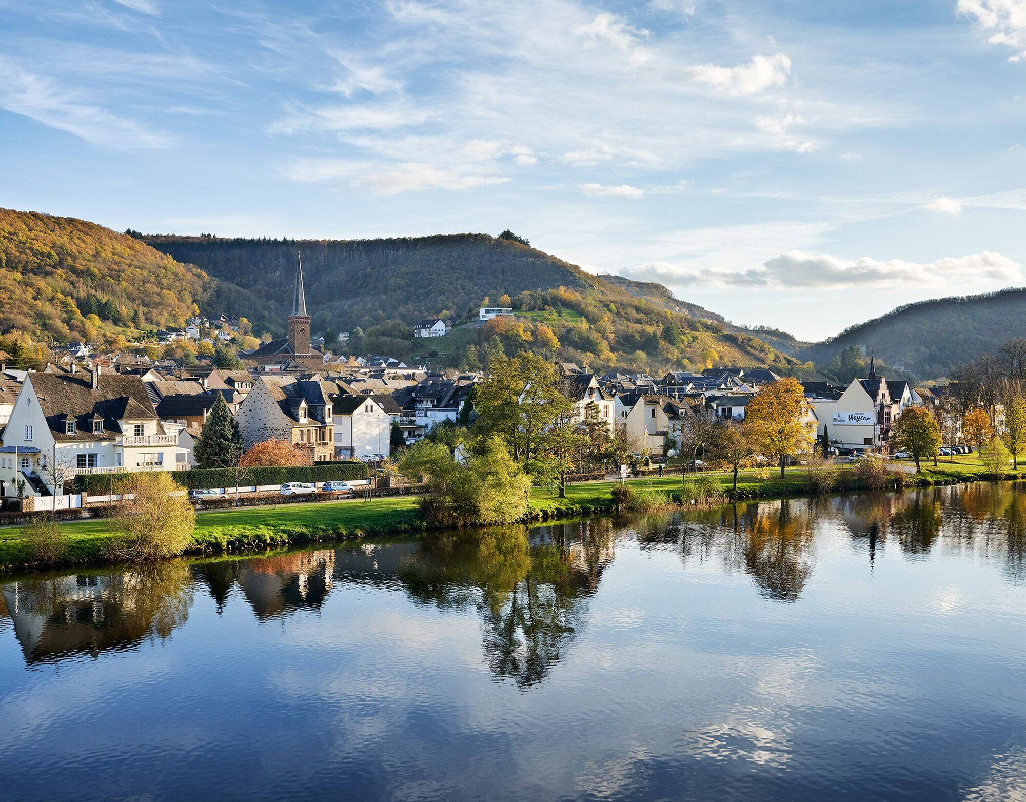
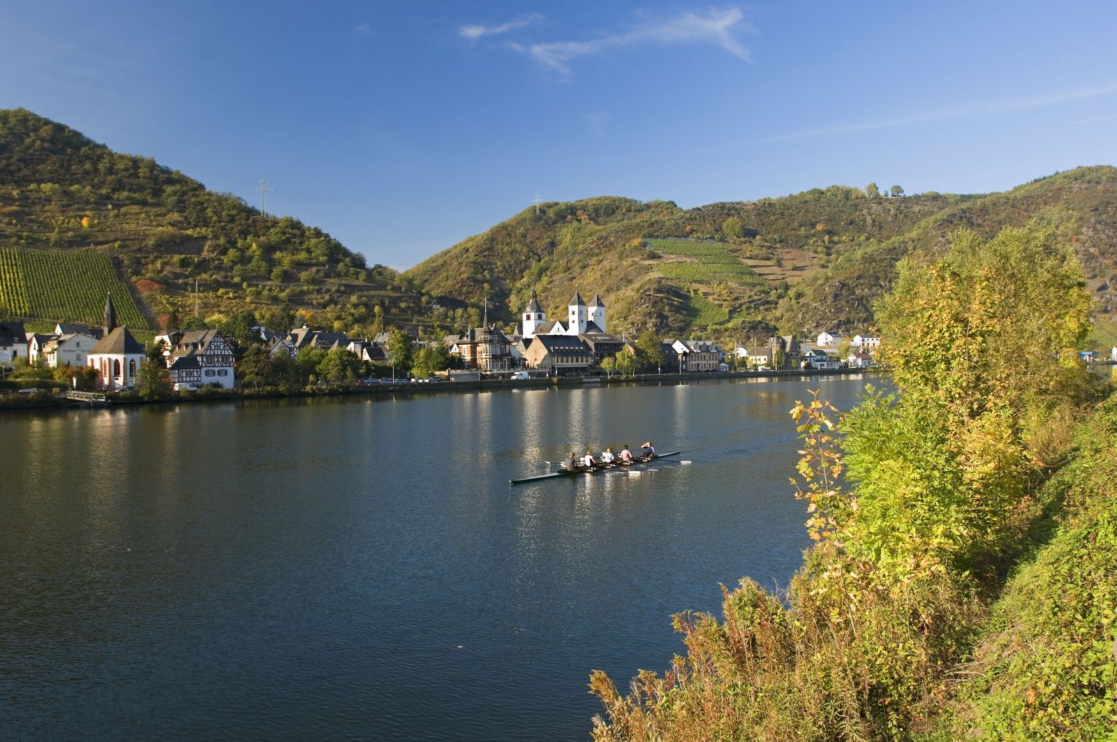

Ano
Remember to take your cycle tour book and your camera.
Destination: Löf via the B 416 between Treis-Karden and Koblenz
Löf: Train station on the Moselle line (regional train only)
Löf: Parking is possible along the B 416
Kordelweg 1
54470 Bernkastel-Kues
Telephone +49 (0)6531/97330
A review of your Outdooractive tour experience would be great. This gives us valuable feedback and helps others to plan their own tours. Thanks!
Suggestions, observations or something that isn't quite right? Get in touch with us via email at: radwege@lbm.rlp.de
(www.radwanderland.de - responsible for the infrastructure and route descriptions in the Rhineland Palatinate section).
A detour into the historic town centre of Klotten, with its narrow winding lanes, can be highly recommended!



Oblíbené prohlídky v okolí
- 4.6
Traumschleife Ehrbachklamm
heavyTuristika 11.0 km - 4.4
Mosel - Burg Eltz - Mosel
středníTuristika 12.8 km - 4.4
Marienkapellchen - Wierschem - Petersköpfchen - Unterschänke
heavyTuristika 12.7 km - 4.8
Murscher Eselsche Dream Loop
středníTuristika 10.7 km - 4.7
Dommershausen - Steffenshof - Schmausemühle - Beltheim
heavyTuristika 10.4 km - 4.2
Moselsteig stage 20: Treis-Karden – Moselkern
střednídálková pěší trasa 13.6 km - 4.0
Moselsteig stage 18: Beilstein – Cochem
střednídálková pěší trasa 14.4 km - 5.0
Dream Loop Upper Baybach Valley
heavyTuristika 15.6 km - 4.5
Moselsteig stage 22: Löf – Kobern-Gondorf
heavydálková pěší trasa 13.7 km - 5.0
Mörsdorf - Geierlay
středníTuristika 7.79 km
Pěší turistika a stopování


Nenechte si ujít nabídky a inspiraci pro vaši příští dovolenou
Vaše e-mailová adresa byl přidán do poštovního seznamu.





