


Mosel Cycle Path Section 2: From Nittel to Trier
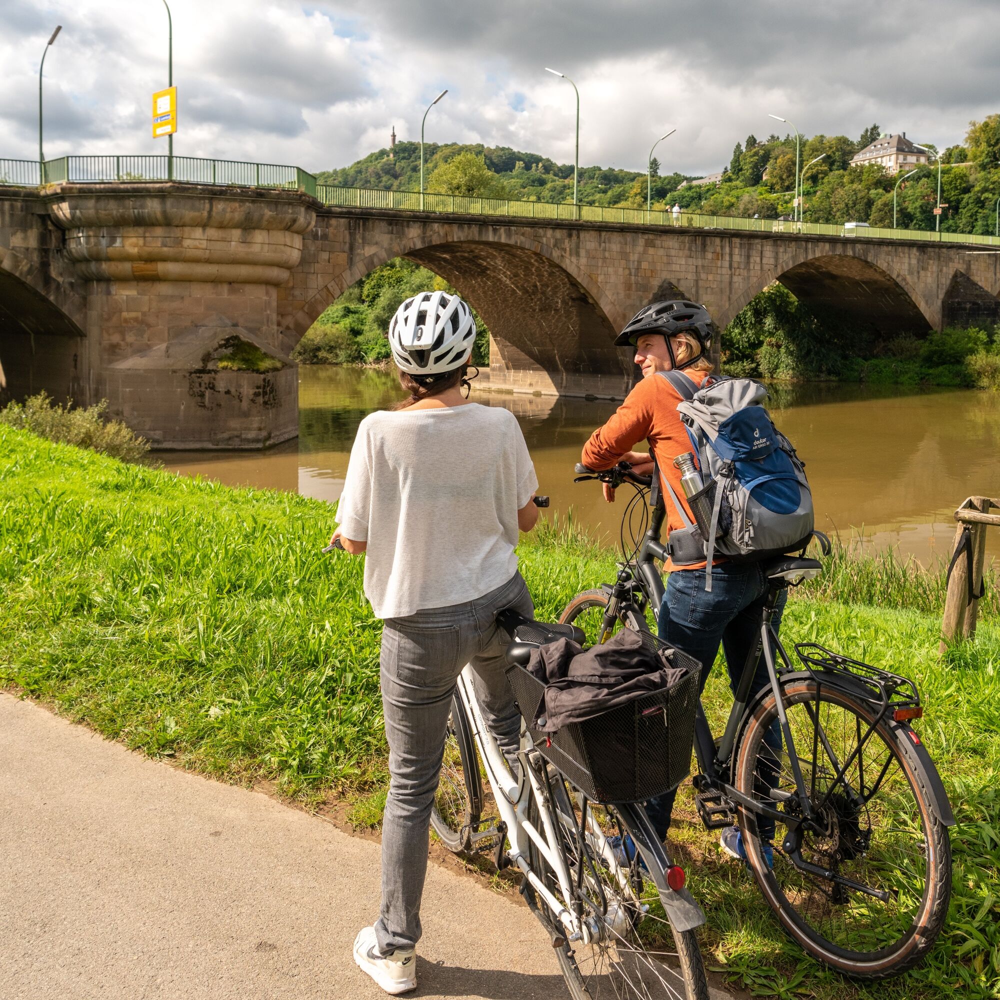
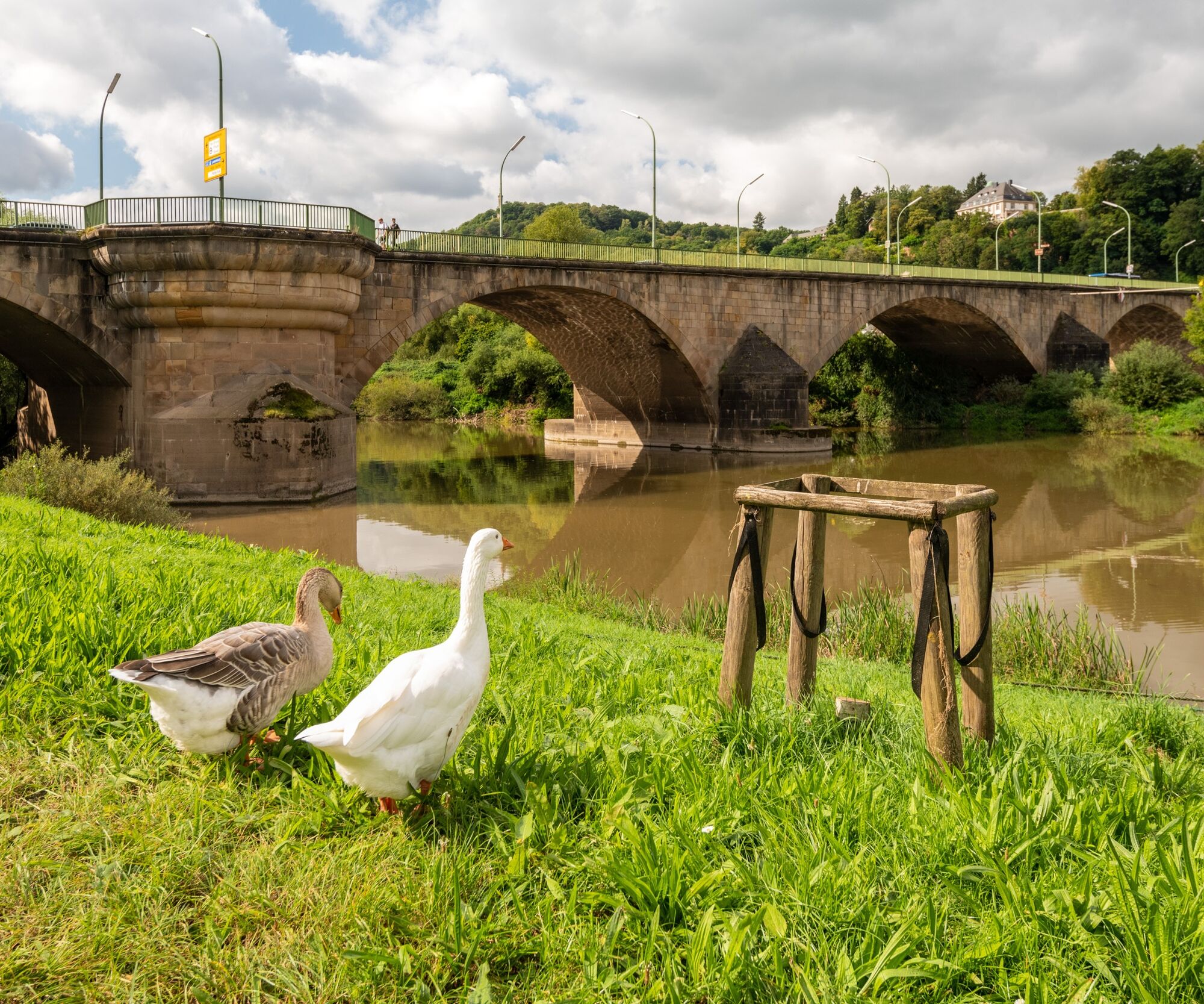
A scenic and culture-rich experience: The second section of the Moselle Cycle Route runs along the right bank of the river to the Moselle metropolis of Trier, around 25 km away. The starting point is the...
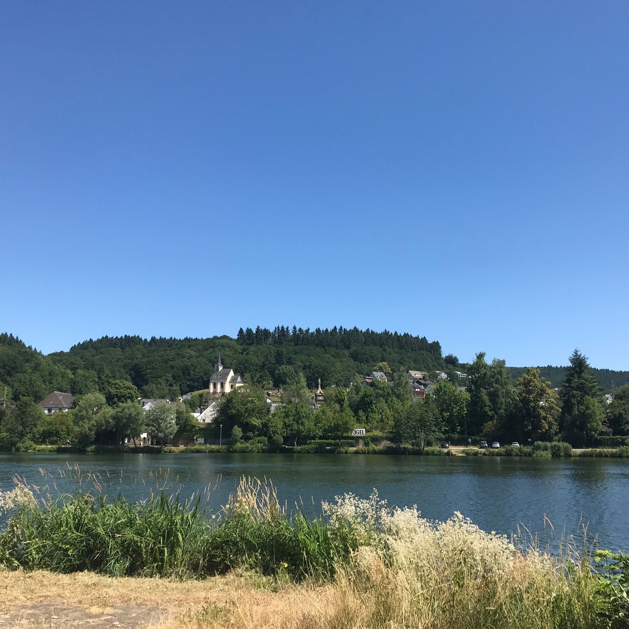
A scenic and culture-rich experience: The second section of the Moselle Cycle Route runs along the right bank of the river to the Moselle metropolis of Trier, around 25 km away. The starting point is the charming wine-making village of Nittel, which lies at the foot of towering dolomite and limestone rocks. The municipality of Oberbillig, which has a ferry connection to Luxembourg’s Wasserbillig, is then reached via Wellen and Temmels. Then, following an even path, it’s onto the city of Konz. Located at the mouth of the Saar, Konz is worth a short stop, offering attractions such as the Open Air Cultural History Museum Roscheider Hof and the remains of a Roman imperial villa. A further 10 kilometres and the end stop of today's tour awaits. Impressive, well-maintained Roman architecture with UNESCO World Heritage Site status and Baroque style parks are some of the attractions the oldest city in Germany has to offer.

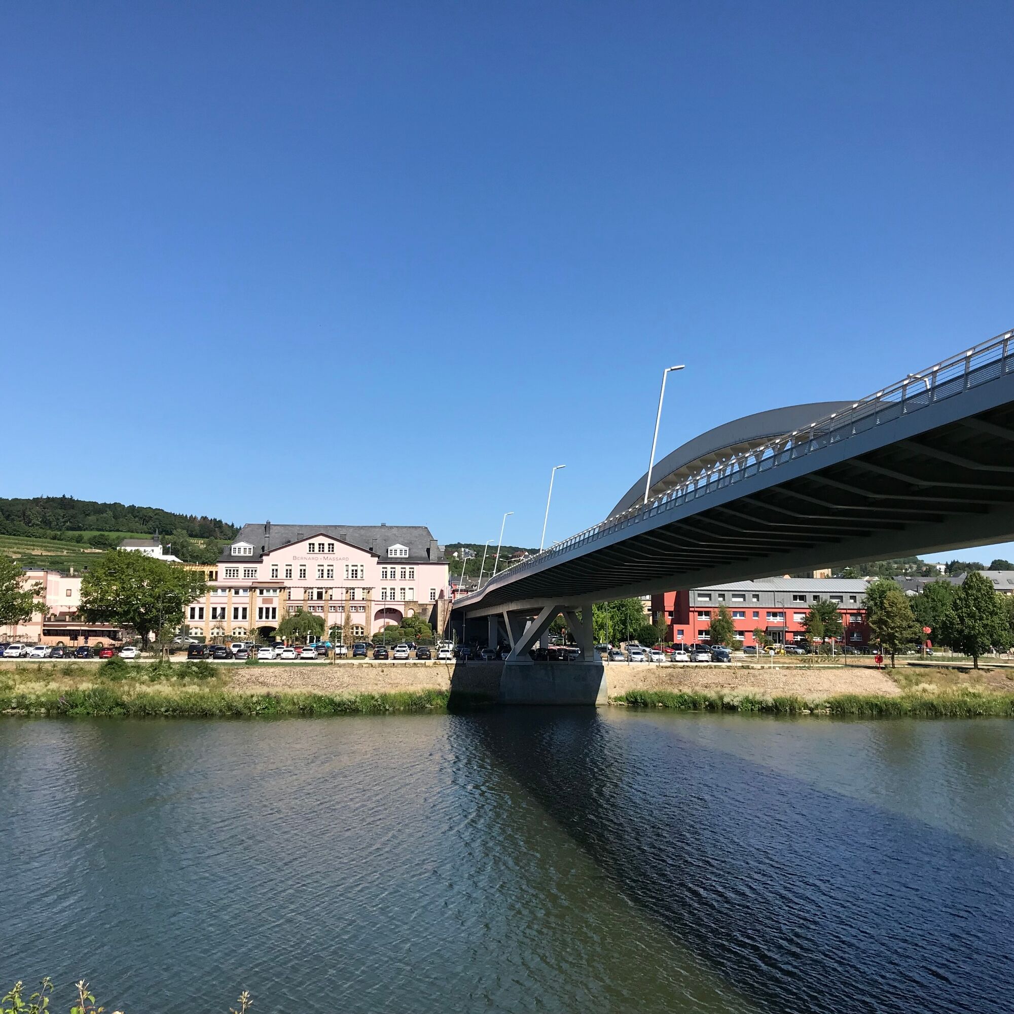
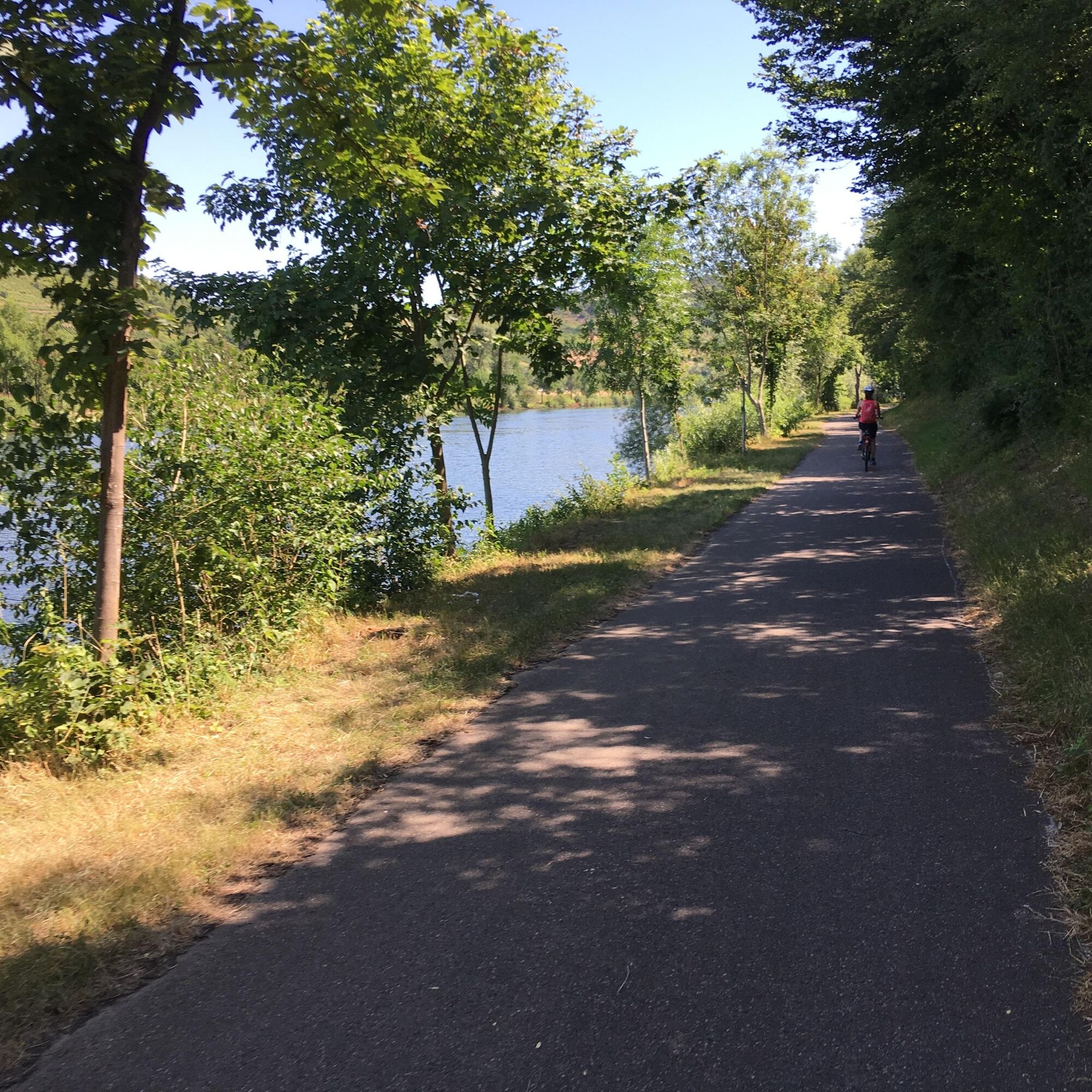
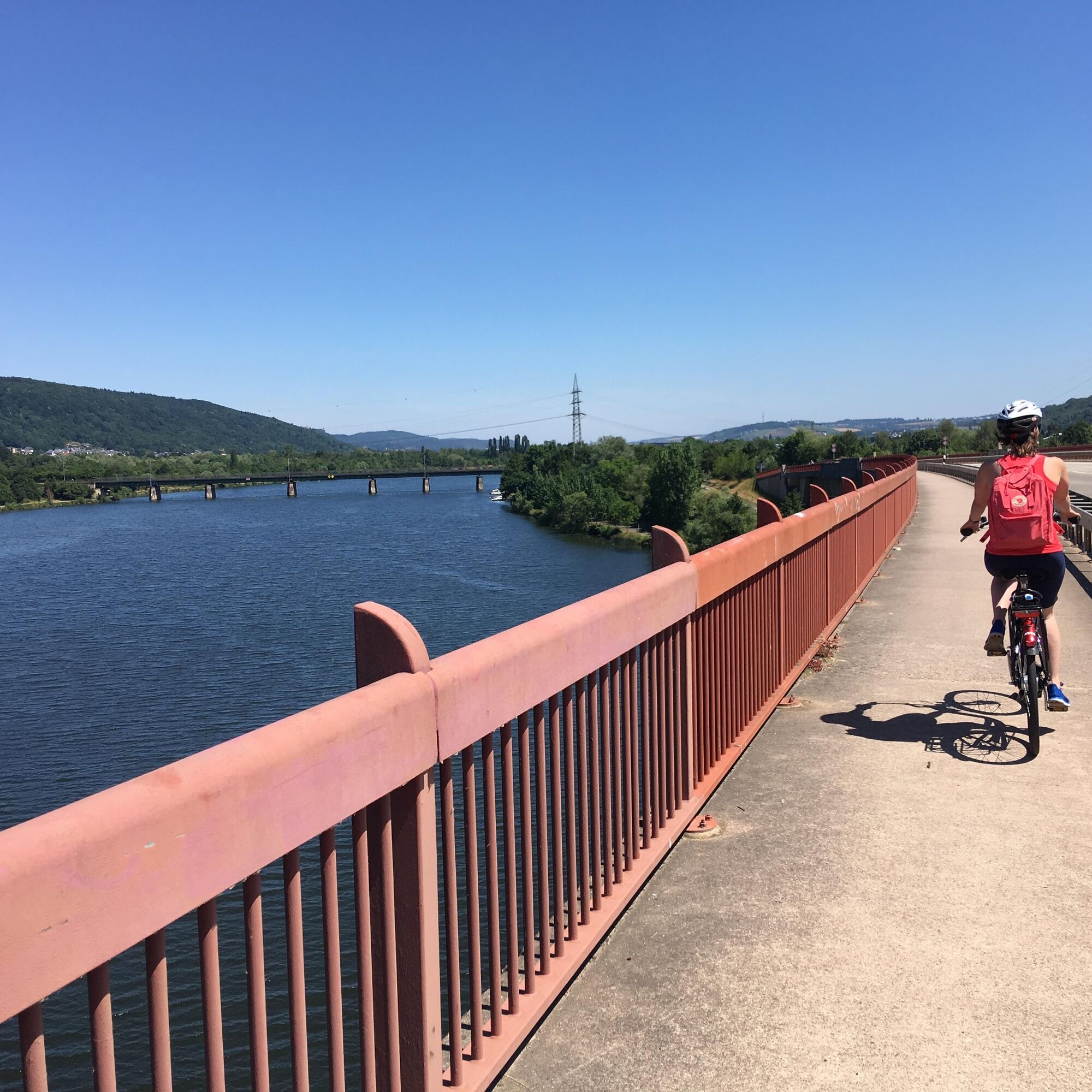
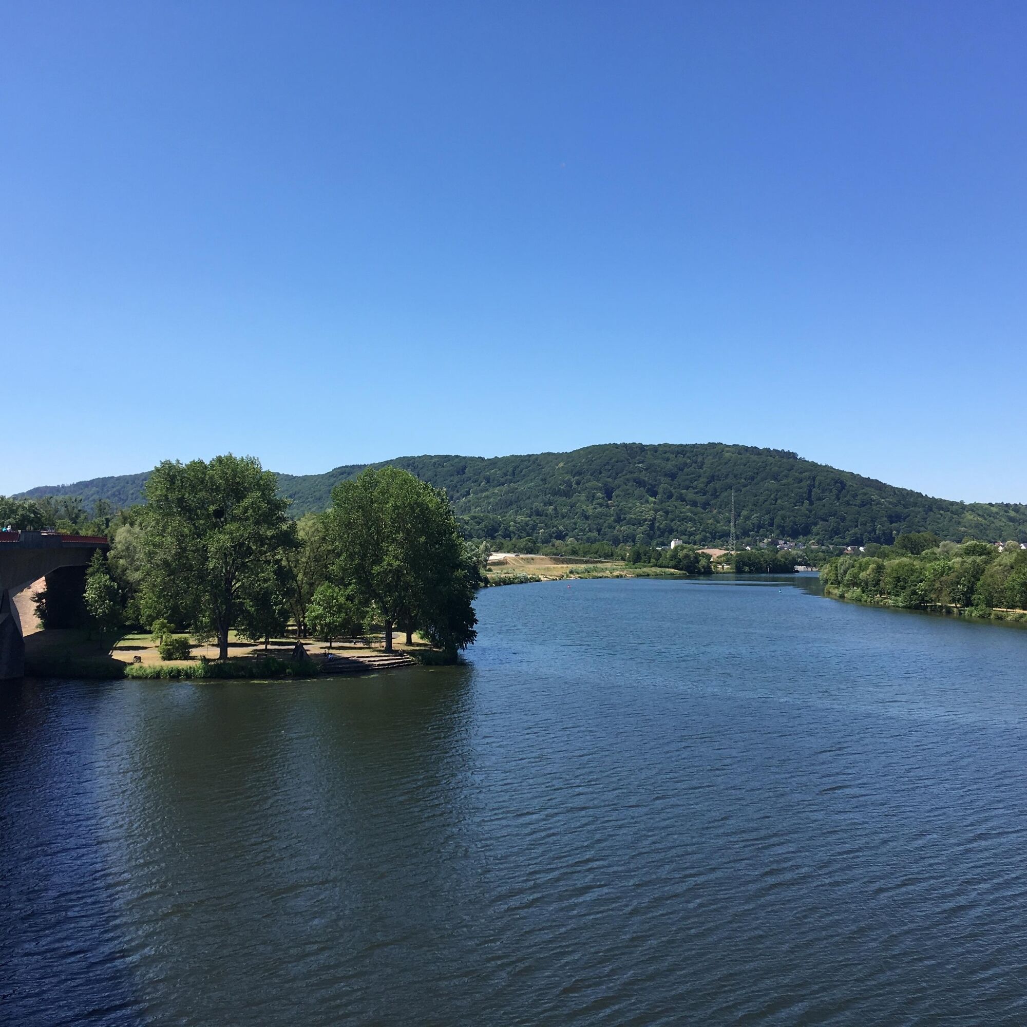
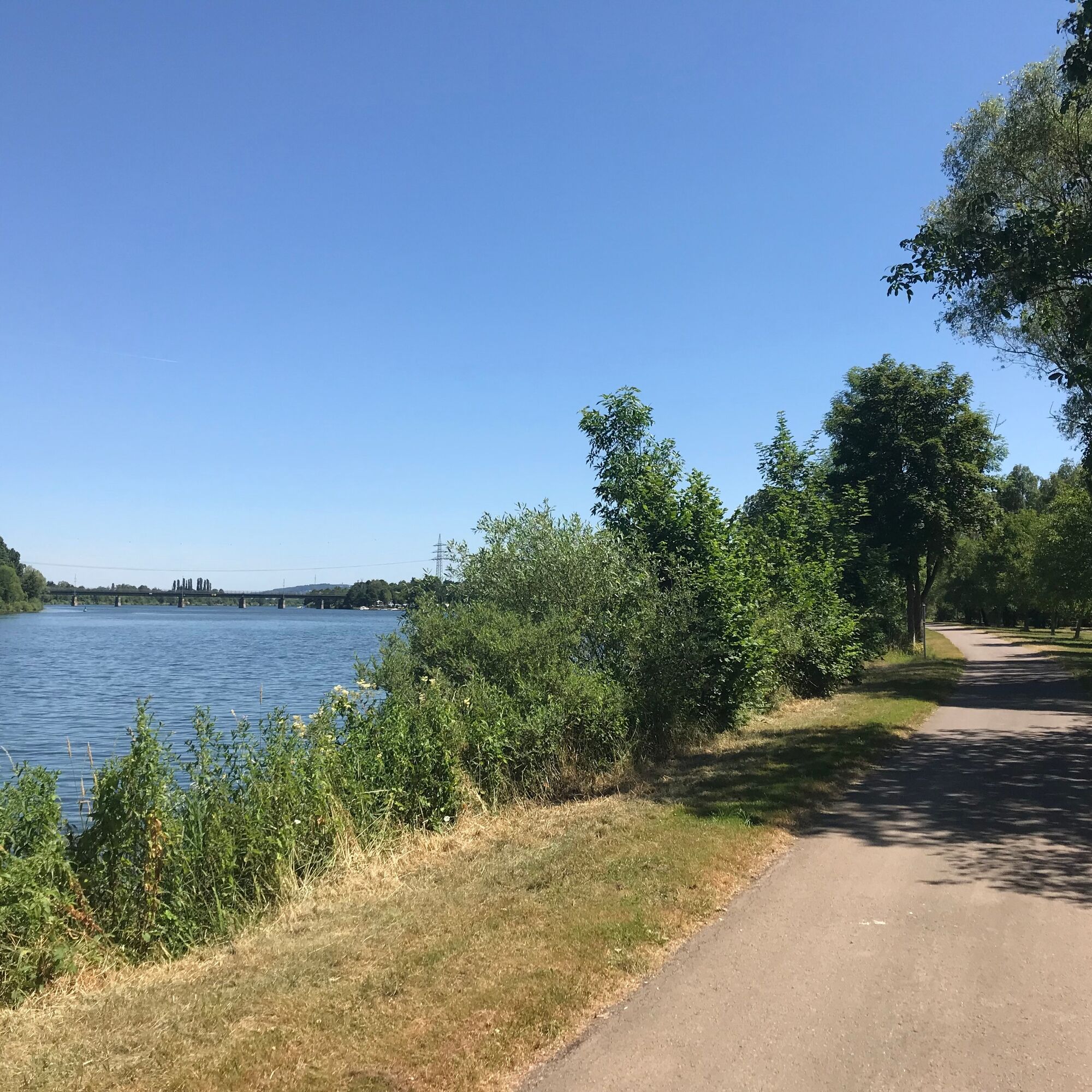
Follow the riverside path between the Moselle and railway tracks to the outskirts of Nittel and continue onto Wellen via the B 419. Follow the Moselstraße road through Wellen. At the end of the village, take the cycle path next to the main road and continue past the train station. Carry on straight ahead at the crossroads by the bridge (to Grevenmacher). After the bridge, turn left towards the Moselle via the B 419 underpass. Once in Temmels, follow the road through the village. In the centre of Temmels, turn left towards the Moselle and then right along the river bank. The route to Oberbillig runs via the main road underpass and then along the village road towards the ferry. At the end of the village, take the narrow cycle path along the river bank, past the sports field to Wasserliesch. Continue along the riverbank and around 400 metres before reaching the mouth of the Saar, turn right onto the bridge via a short ascent, cross the Saar and then turn left down to the Moselle. Then it’s through the Moselle's fields, past the harbour and the grounds of Karthaus Abbey. Continue straight ahead between the Moselle and the railway line to Trier. Pass under the Konrad Adenauer Bridge and the Roman bridge, past the cranes to the Kaiser Wilhelm Bridge and Zurlauben.
Remember to take your cycle tour book and your camera.
Destination: Nittel via the B 419
Trier: Main train station (Moselle line and Eifel line)
Trier: Pay and display parking is available at the main train station i.e. in the town centre.
Kordelweg 1
54470 Bernkastel-Kues
Telephone +49 (0)6531/97330
A review of your Outdooractive tour experience would be great. This gives us valuable feedback and helps others to plan their own tours. Thanks!
Suggestions, observations or something that isn't quite right? Get in touch with us via email at: radwege@lbm.rlp.de
(www.radwanderland.de - responsible for the infrastructure and route descriptions in the Rhineland Palatinate section).
It's worth taking part in a guided tour of Trier at the end of this section.
Oblíbené prohlídky v okolí
-
4.5
Trassem - Haus Jochem - Kruterberg - Klein Heide
středníTuristika 11.3 km -
Moselsteig Stage 04: Konz – Trier
střednídálková pěší trasa 21.0 km -
4.0
Moselle Trail Stage 03: Nittel – Konz
heavydálková pěší trasa 22.5 km -
Moselsteig Stage 02: Palzem - Nittel
střednídálková pěší trasa 16.4 km -
4.5
Basilique Saint-Willibrord - Méchelskierch - Saint-Remi - Honsréck
středníTuristika 36.8 km -
Star route around Trier - Route 3: Circular route on the Moselle and Saar Cycle Paths via Saarburg to Trier
světloJízda na kole 43.1 km -
Traumschleife Manternach - Luxemburg
středníTuristika 9.64 km -
5.0
Wanderung im Ockfener Bachtal
Turistika 10.3 km -
Erasmus-Schleife
světloTuristika 4.33 km -
Schönes Weingebiet Galgenberg Konz, Deutschland
světloTuristika 14.4 km
Pěší turistika a stopování


Nenechte si ujít nabídky a inspiraci pro vaši příští dovolenou
Vaše e-mailová adresa byl přidán do poštovního seznamu.