Navigace na stránkách
Pořiďte si tuto prohlídku do mobilního telefonu
Mapa
FFC bike circuit no. 4: on the Tour de France roads (small loop)

střední
Silniční kolo
51.68 km
Naskenujte QR kód a spusťte navigaci v aplikaci bergfex.
QR Code
Pěší turistika a stopování
Stáhnout pro iOS
Stáhnout pro Android

FFC bike circuit no. 4: on the Tour de France roads (small loop)

střední
Silniční kolo
Vzdálenost
51.7 km
Doba trvání
03:50 h
Ascent
606 hm
Hladina moře
3 - 501 m

Úroveň obtížnosti: 2

Stažení skladby
Mapa
FFC bike circuit no. 4: on the Tour de France roads (small loop)
střední
Silniční kolo
51.68 km

All outdoor activities of the Nice Côte d'Azur Metropolis are on https://outdoor.nicecotedazur.org  

Trasa
Chapelle de la Dormition-de-la-Vierge
(7 m)
Místo konání bohoslužeb
0.1 km
Nice
(6 m)
Město
1.5 km
Aspremont
(532 m)
Vesnice
15.9 km
Chapelle Saint-Claude
(501 m)
Místo konání bohoslužeb
16.0 km
Église Saint-Michel
(330 m)
Místo konání bohoslužeb
20.0 km
Le Burguet
(215 m)
Vypořádání
21.7 km
Cagnes-sur-Mer
(6 m)
Město
40.8 km
Trasa
Mapa
FFC bike circuit no. 4: on the Tour de France roads (small loop)
střední
Silniční kolo
51.68 km
Chapelle de la Dormition-de-la-Vierge
(7 m)
Místo konání bohoslužeb
0.1 km
Carabacel
(8 m)
Sousedství
1.4 km
Nice
(6 m)
Město
1.5 km
Église Saint-Spyridon
(15 m)
Místo konání bohoslužeb
1.5 km
Cimiez
(75 m)
Sousedství
2.9 km
Rimiez
(146 m)
Sousedství
4.7 km
La gaîté nallino
(162 m)
Restaurace
5.1 km
Au Rendez-vous des Amis
(315 m)
Restaurace
7.9 km
Restaurant Simon
(315 m)
Restaurace
7.9 km
Auberge de l'aire Saint-Michel
(317 m)
Restaurace
8.1 km
La Vallière
(472 m)
Koridor/terén
15.7 km
La Vigne
(496 m)
Koridor/terén
15.8 km
Aspremont
(532 m)
Vesnice
15.9 km
Chapelle Saint-Claude
(501 m)
Místo konání bohoslužeb
16.0 km
Le Carretier
(394 m)
Vypořádání
17.4 km
Le Canet
(430 m)
Vypořádání
17.7 km
La Grotte
(434 m)
Vypořádání
17.9 km
Le Portion
(345 m)
Vypořádání
19.0 km
Le Baus
(347 m)
Vypořádání
19.1 km
Le Bouge
(336 m)
Vypořádání
19.4 km
Le Gressier
(336 m)
Vypořádání
19.7 km
Castagniers
(333 m)
Vesnice
20.0 km
Le Masage
(287 m)
Vypořádání
20.0 km
Chez Michel
(332 m)
Restaurace
20.0 km
Église Saint-Michel
(330 m)
Místo konání bohoslužeb
20.0 km
Le Burguet
(215 m)
Vypořádání
21.7 km
Les Moulins
(101 m)
Vypořádání
24.1 km
Servella
(81 m)
Restaurace
24.2 km
Amoretti
(79 m)
Restaurace
24.7 km
La Vallade
(66 m)
Vypořádání
27.9 km
La Manda
(62 m)
Vypořádání
28.1 km
Cagnes-sur-Mer
(6 m)
Město
40.8 km
Saint-Laurent-du-Var
(21 m)
Město
41.2 km
Carras
(5 m)
Sousedství
45.6 km
Magnan
(9 m)
Sousedství
47.5 km
Carré d'Or
(6 m)
Sousedství
48.4 km
La Buffa
(5 m)
Sousedství
48.5 km
Nice
(6 m)
Město
49.7 km
Église Saint-François de Paule
(5 m)
Místo konání bohoslužeb
49.9 km
Vieux Nice
(7 m)
Sousedství
50.2 km
Chapelle de la Très-Sainte-Trinité et du Saint-Suaire
(7 m)
Místo konání bohoslužeb
50.3 km
Cascade
(87 m)
Vodopád
50.6 km
Raubà capeu
(10 m)
Úhel pohledu
50.7 km
Informace o prohlídce

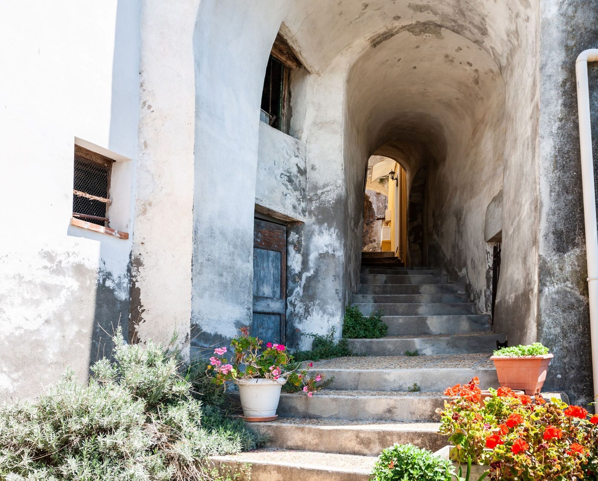
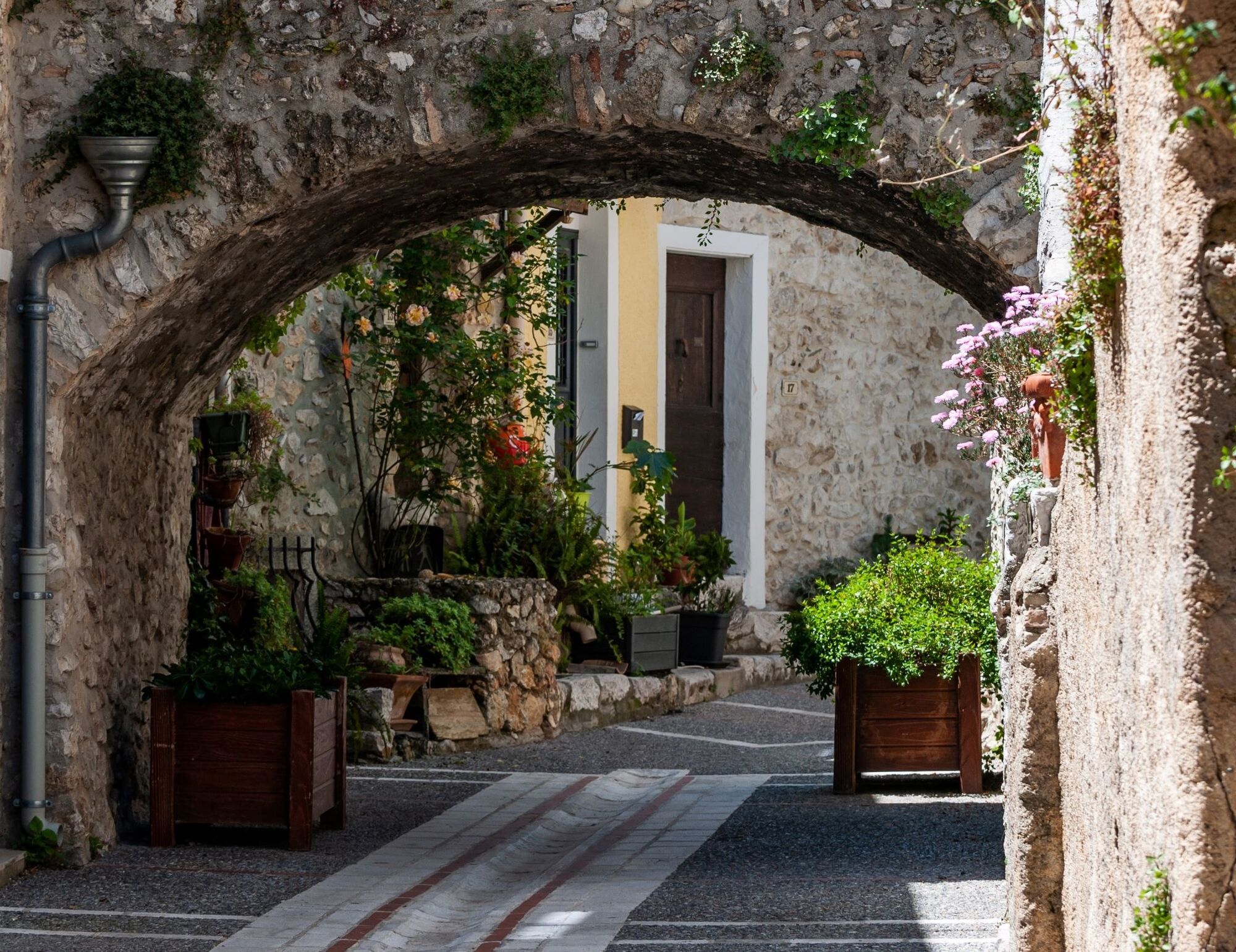
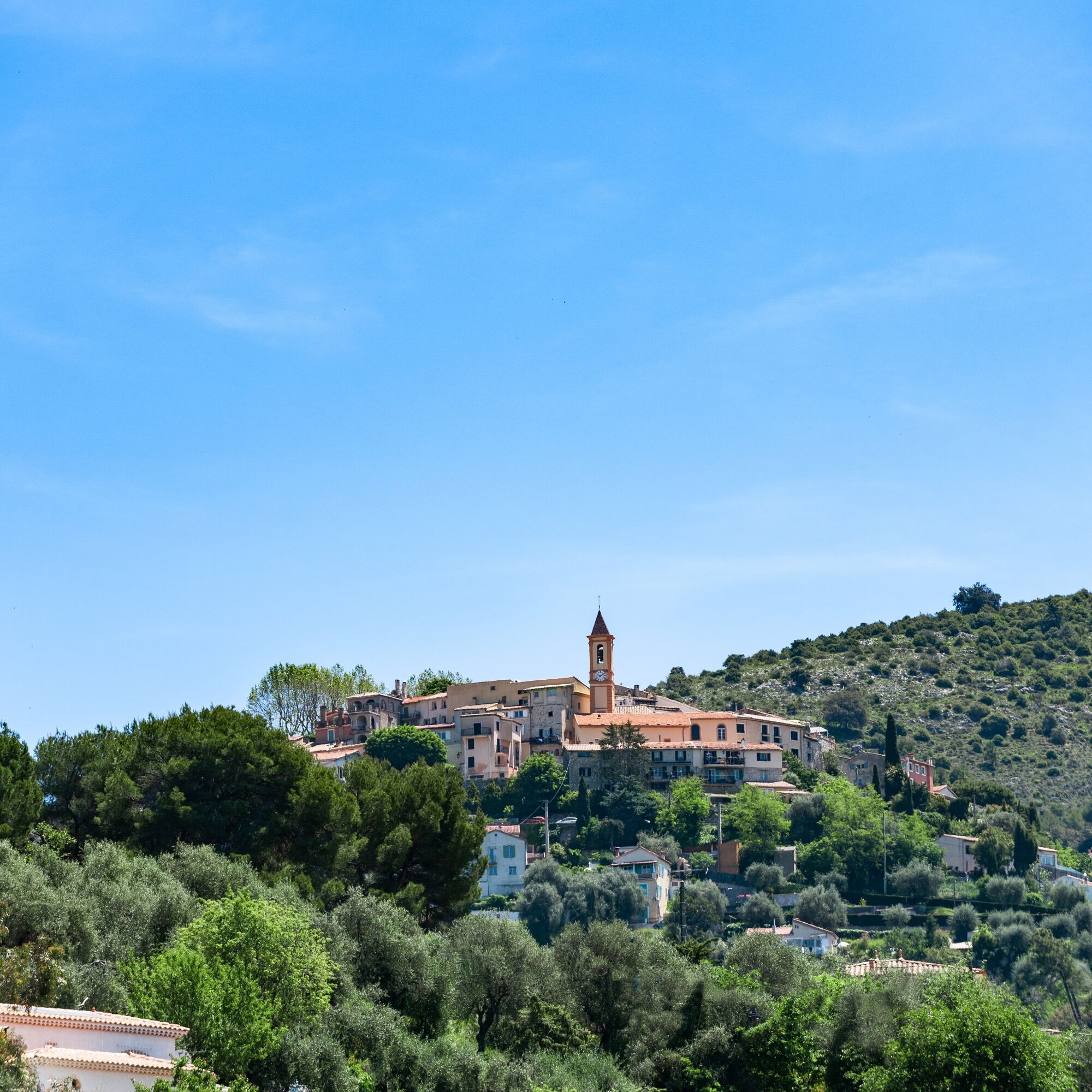
Discover at your own pace and level, the route of the first stage of the Tour de France which crosses with two loops, the typical villages of the Niçois hinterland. This 50 km circuit will take you through the villages of Aspremont and Castagniers.

Technologie
2 / 6
Stav
3 / 6
Krajina
5 / 6
Zkušenosti
5 / 6
Celoročně přístupné
Led
Úno
Bře
Dub
Kvě
Čen
Čec
Srp
Zář
Říj
Lis
Pro
Sdílet prohlídku
Mapa
FFC bike circuit no. 4: on the Tour de France roads (small loop)
střední
Silniční kolo
51.68 km
Chyba
Došlo k chybě. Zkuste to prosím znovu.
Informace o trase
Trasa
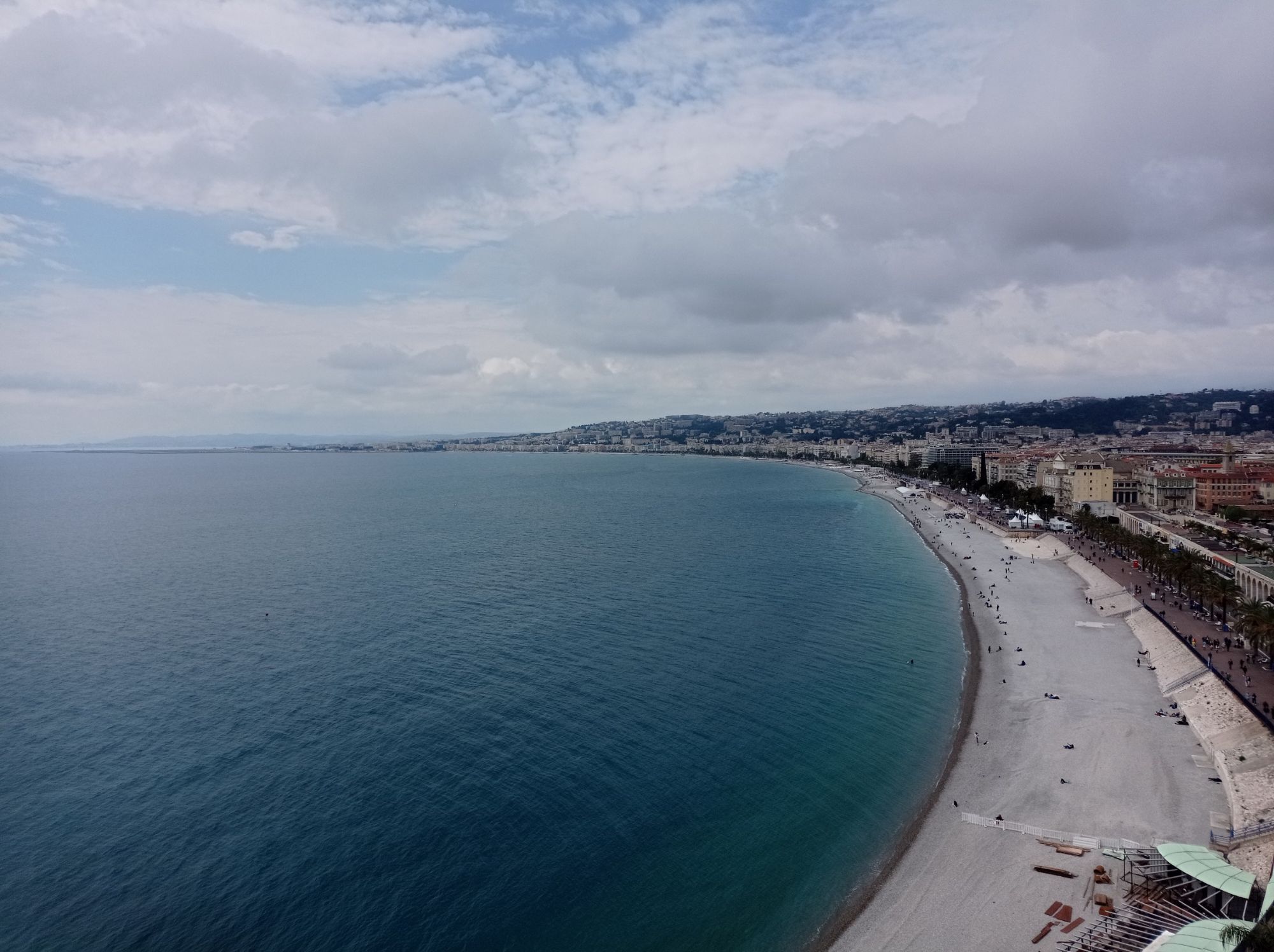
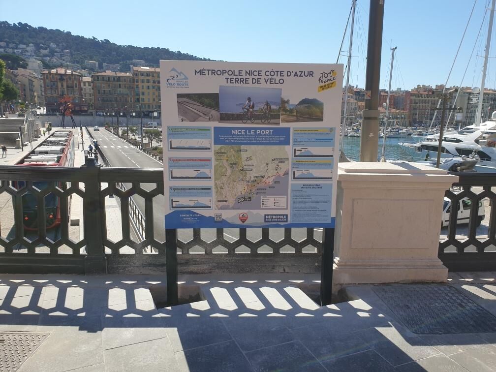
The start is from the panoramic loops installed on the west side of Place de l'Ile de Beauté. Head towards rue Cassini, cross Place Garibaldi and turn right onto Boulevard Risso. Immediately veer left to follow the directional arrows indicating the Chamber of Commerce and Industry on boulevard Carabacel. At the end of this boulevard, take the climb of boulevard de Cimiez – Km 1.6 (towards Musée Matisse) then continue on boulevard de Cimiez and l’ave de Flirey. At the roundabout where the statue of the dog Totor stands (Km 4), head towards Rimiez via l’ave Cap de Croix. After some ramps that can reach 10%, you reach the district of l’Aire Saint-Michel, the actual starting point of the first stage of the 2020 Tour de France. By RM 114 – Km 9, you join RMV14 towards the village of Aspremont, the highest point of the day. The descent is on the opposite slope towards the village of Castagniers (RM 14 and RM 614) from where you join after a few km of descent, on a winding road RM 6202. At the roundabout (Les Moulins) take the direction Gattières-Carros-Pont de la Manda. Arriving at La Manda, cross the Var on the metallic bridge and, upon exit, turn right onto the bike path, after 100m head south. At the end of this path along RM 6202 bis, near the La Baronne parking, take the direction of Saint-Laurent du Var via RD 2209. At the Saint-Laurent du Var sign, after a few hundred meters, turn left onto chemin de la Digue towards the industrial zone of Saint-Laurent du Var. Several large successive roundabouts on RM 95 will lead to the Napoléon III bridge and the entrance to Nice via the bike path along the seaside road (RM 6098). From the bike path on the Promenade des Anglais, you just need to head towards the port, the starting point of the circuit.
Geologické zajímavosti

Ano

Prohlídka vrcholu

Ano

Vybavení

EQUIPMENT

-Wear an approved helmet

-Check the condition of your tires

-Take a repair kit for punctures

-Prefer at least one flashing LED light to attach to the seat post to be seen by motorists, especially in the small tunnels common in the Metropolis

Bezpečnostní pokyny

Emergency number: 112

BASIC RULES

-Choose a route adapted to your physical condition, do not overestimate your abilities

-Check the mountain weather and pass opening before leaving

-Remember to carry identity and an emergency contact number

-Respect traffic lights

-Prefer bike paths when they exist, i.e. a sign may require this :

If the "bike path" sign is square: you decide. If it is round you must use this path without exception.

-Respect the environment and other road users

GOOD PRACTICES FOR RIDING IN A GROUP

-Riding two abreast is permitted, but single file is required :

At nightfall or in low visibility When an overtaking vehicle signals its approach.

-In case of breakdown, move to the roadside, not on the road

-At stop signs, yellow or red lights (steady or flashing), the group must stop fully.

-Communicate with the group using verbal and hand signals to warn of obstacles or vehicles. A simple gesture or word can prevent a fall or accident.

Informace o příjezdu
Příjezd

Nice is served by highway A8 “La Provençale”, coming from Aix-en-Provence in the West and the border to the East. To reach the city center, five exits have been arranged to go directly to the neighborhood of your choice :

Exit no. 50: Promenade des Anglais Exit no. 51: Saint-Augustin / airport Exit no. 52: Saint-Isidore Exit no. 54: Nice north Exit no. 55: Nice east
Veřejná doprava

High speed and express trains (TGV, Corail train) connect the Côte d'Azur to all French regions and major cities in Europe.

Find bus lines at: https://www.lignesdazur.com

Parkování

Parking near the starting point. Some parking may be paid.

Další informace a tipy
Úroveň obtížnosti

2

Další informace

To learn more about our destination, visit our website

Tipy

"Leisure practical" circuit (FFC color: blue)

Pěší turistika a stopování

Pěší turistika a stopování

ke stažení pro iOSstáhnout pro Android
Pěší turistika a stopování
Více než 550.000 návrhů výletů, podrobné mapy a intuitivní plánovač tras dělají z aplikace nezbytnou výbavu pro všechny milovníky přírody.
bergfex