



FFC Cycling Route No. 6: Parc des rives du Var

Úroveň obtížnosti: 1
A ride that can easily be done with family by using, if needed, the blue bikes available near the start. Along the famous Promenade des Anglais, you can discover on the left, the gardens of Villa Masséna,...
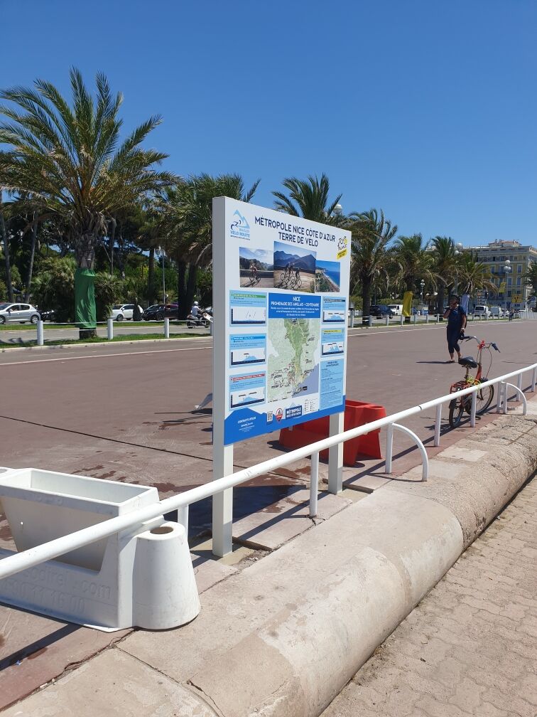
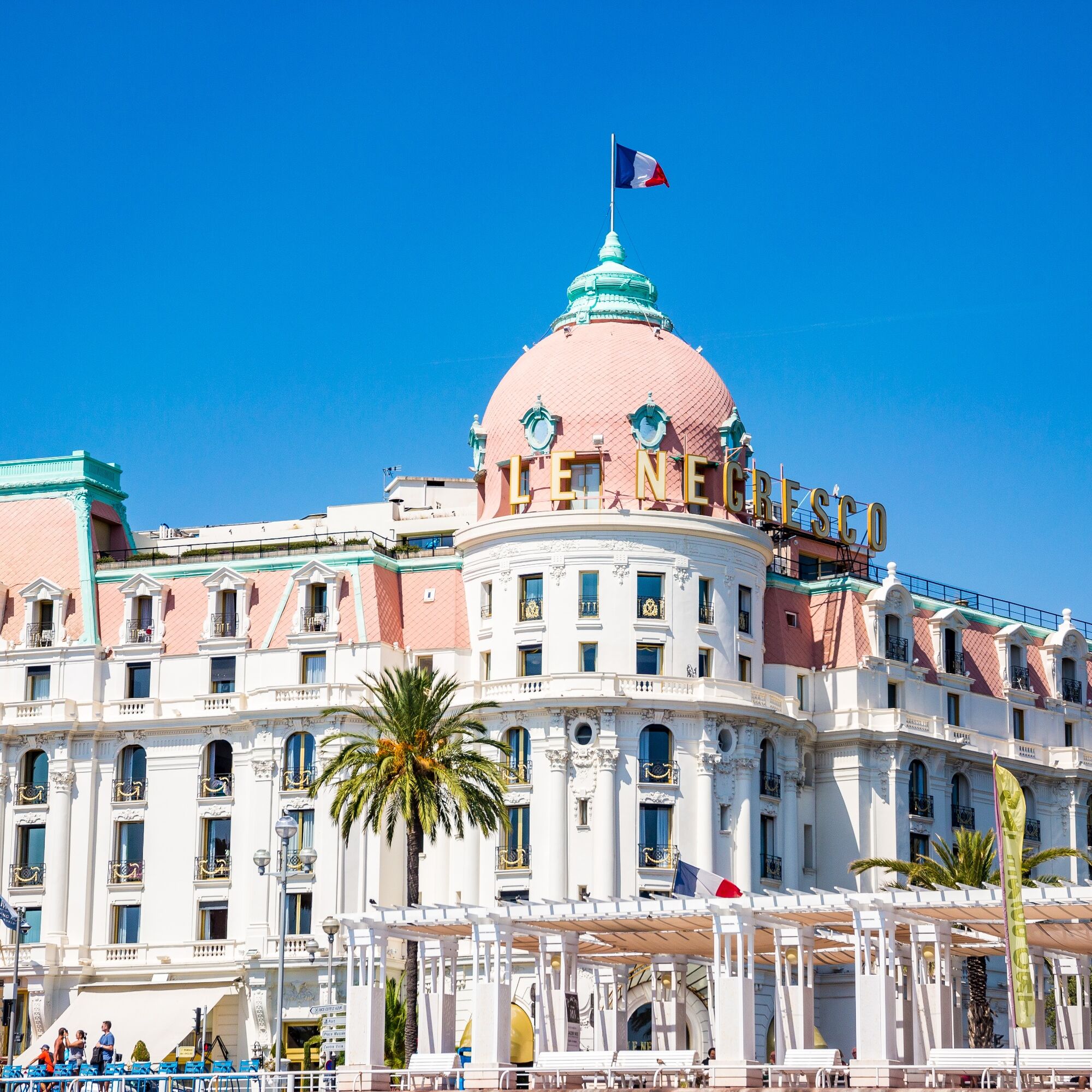
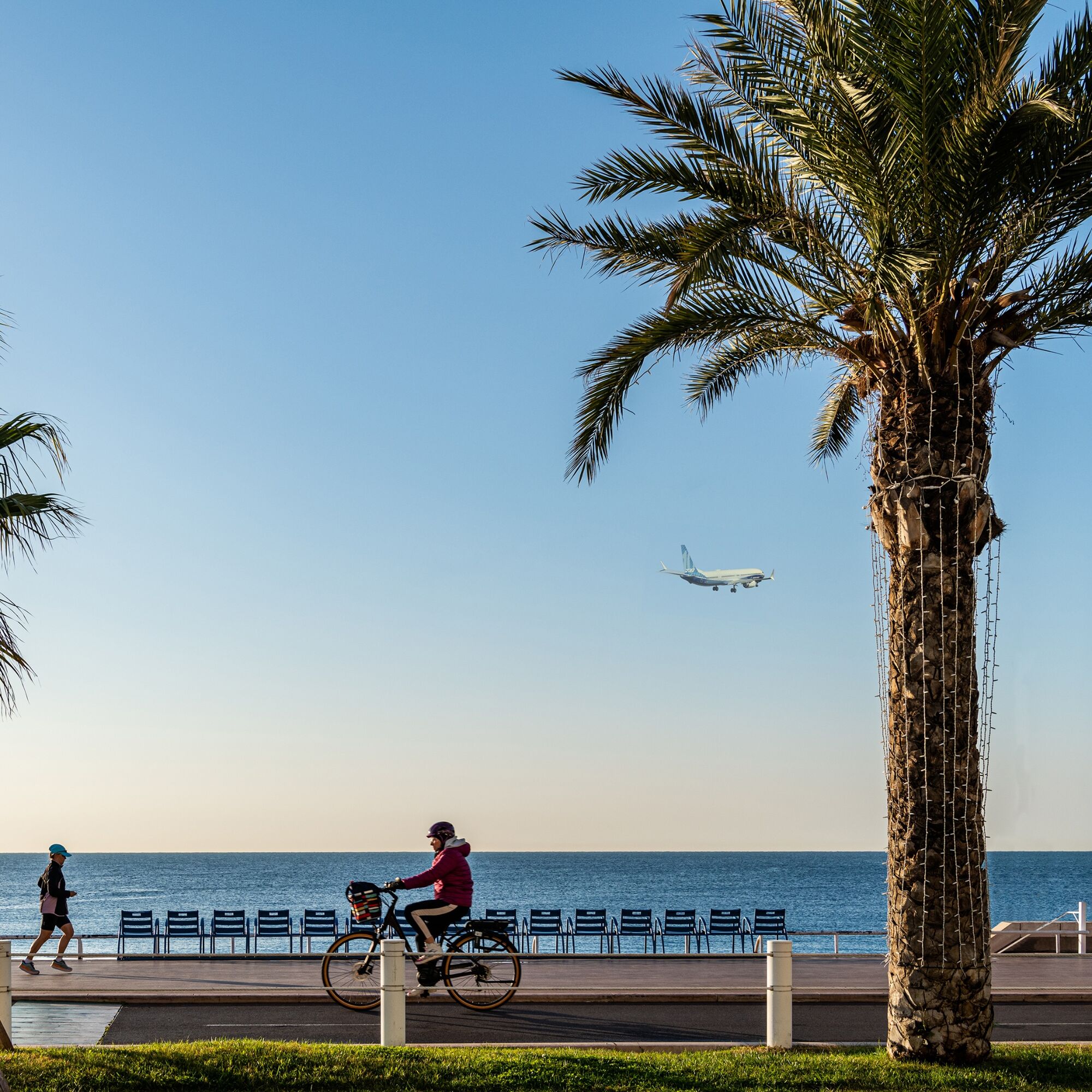
A ride that can easily be done with family by using, if needed, the blue bikes available near the start. Along the famous Promenade des Anglais, you can discover on the left, the gardens of Villa Masséna, the Negresco, a very famous luxury hotel whose facades, based on a neoclassical framework with almost baroque opulent ornamentation, remains with its pink dome one of the symbolic places of the city of Nice. The path runs along the Bay of Angels and the airport runways of terminal 1 to reach the entrance of the departmental park of the banks of the Var. Along the bike path, many educational signs and sports workshops set up with the Sports University mark the route
All outdoor activities of the Nice Côte d'Azur Metropolis are on https://outdoor.nicecotedazur.org


Ano
Ano
BASIC RULES
- Choose a route suited to your physical condition, do not overestimate your abilities or those of your companions
- Remember to carry an identity document and a number to call in case of danger
- Preferably use the bike paths offered throughout this route
- Respect the environment and other road users
- Obey traffic lights
GOOD PRACTICES FOR RIDING IN A GROUP
- Riding two abreast is allowed, but single file passage is mandatory when crossing other cyclists
- In case of breakdown, position yourself at the bottom side and not on the path
- At 'Stop', yellow light, fixed or flashing red light, make a complete stop for the entire group.
- Communicate within the group and use verbal language and gestures to signal an obstacle. A simple gesture or word is enough to prevent a fall or accident.
Nice is served by the A8 motorway "La Provençale," coming from Aix-en-Provence to the West and the border to the East. To reach the city center, five exits have been arranged to go directly to the district of your choice:
Exit no. 50: Promenade des Anglais
Exit no. 51: Saint-Augustin / airport
Exit no. 52: Saint-Isidore
Exit no. 54: Nice north
Exit no. 55: Nice east
Promenade des Anglais (Nice Center)
Underground and paid parking: LE RHUL MERIDIEN - access via rue Gustave V
Underground and paid parking: PARKING LOT PALAIS DE LA MEDITERRANEE - Access via rue du Congrès
1
Route intended for leisure cycling - FFC green color
Oblíbené prohlídky v okolí
- 4.8
Tour du Cap-Ferrat
středníTuristika 8.99 km - 4.0
Chemin de Nietzsche
světloTuristika 3.73 km Little hike in Nice: the Mont Boron route
světloTuristika 5.13 kmGrande Randonnée® de Pays: Lou Camin Nissart
heavydálková pěší trasa 44.7 kmNice - Aspremont / Pagarine Route (stage 1)
středníTuristika 15.8 km- 4.0
Little hike in Aspremont: Mont Chauve circuit
světloTuristika 6.49 km FFC bike circuit no. 8: the 70.3 circuit (Half IRONMAN)
středníSilniční kolo 92.8 km- 5.0
Goldtoni - Alpenbogen A082 Drap-Nizza
světlodálková pěší trasa 26.4 km - 4.7
Èze-sur-Mer - Mont Bastide - Èze - Èze-Bord-de-Mer
středníTuristika 7.60 km A short walk in Saint-Jeannet : Les Baous de la Gaude and St-Jeannet
středníTuristika 12.2 km
Pěší turistika a stopování


Nenechte si ujít nabídky a inspiraci pro vaši příští dovolenou
Vaše e-mailová adresa byl přidán do poštovního seznamu.


