







FFC cycling circuit No. 12: Tour of the vineyards of Bellet
Úroveň obtížnosti: 2
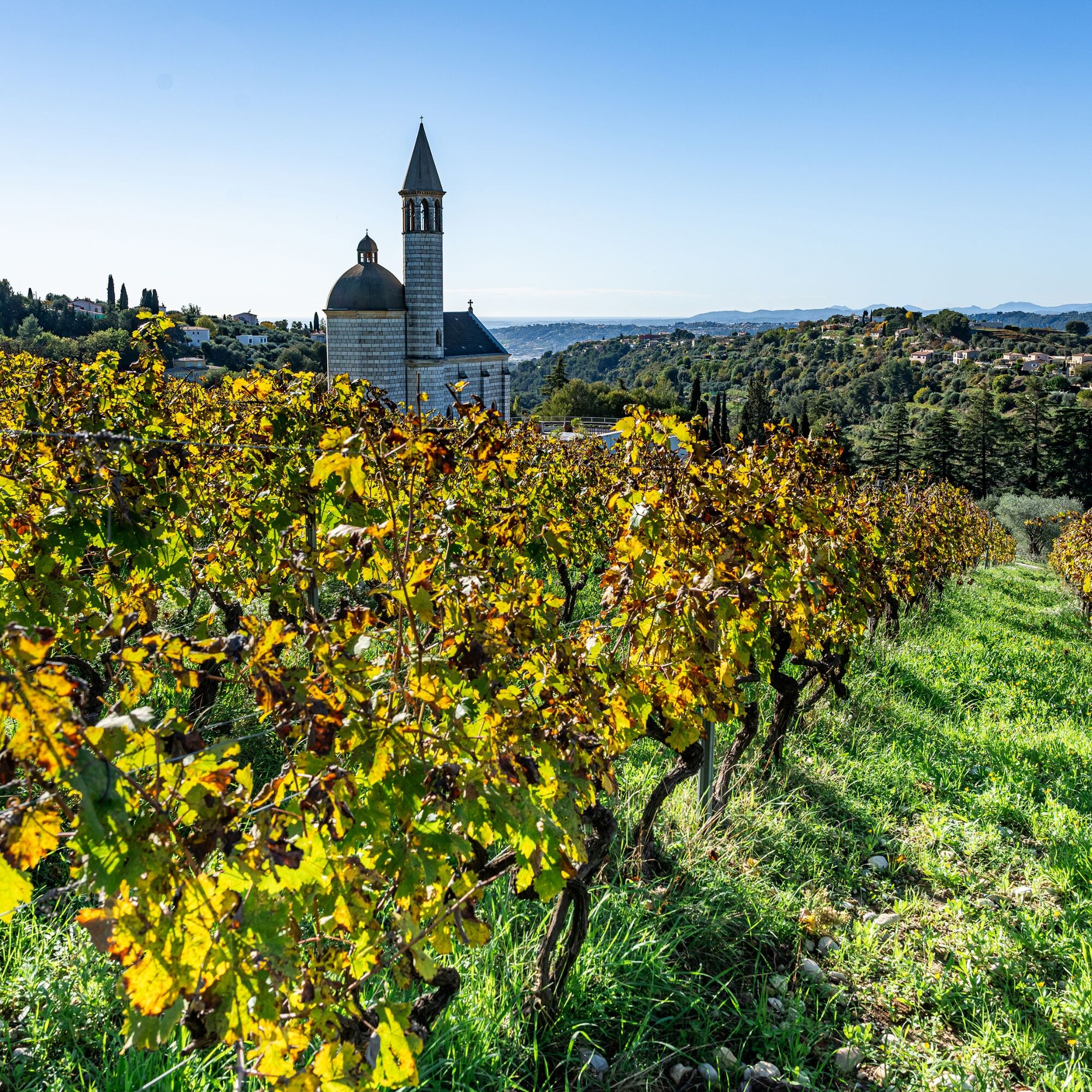
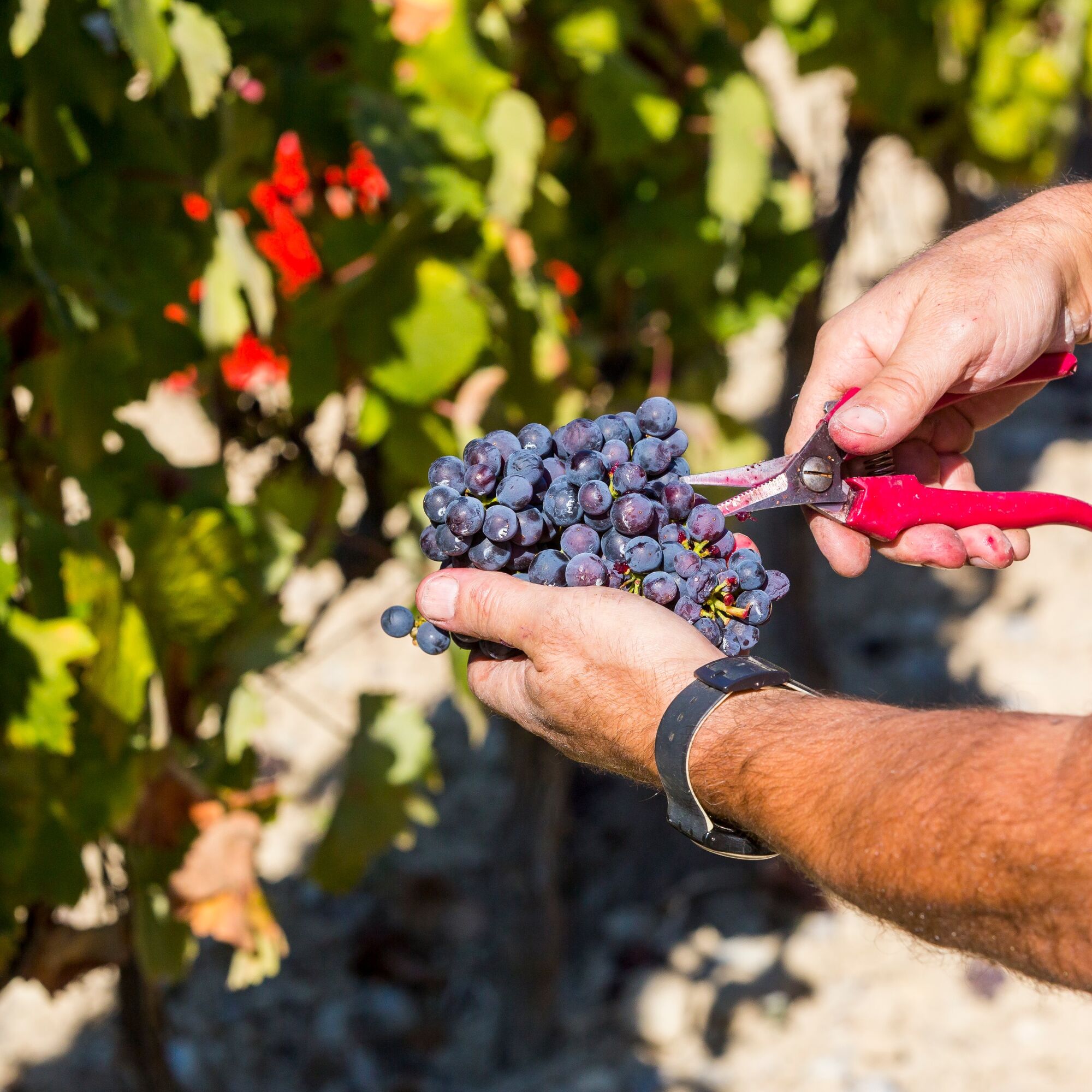
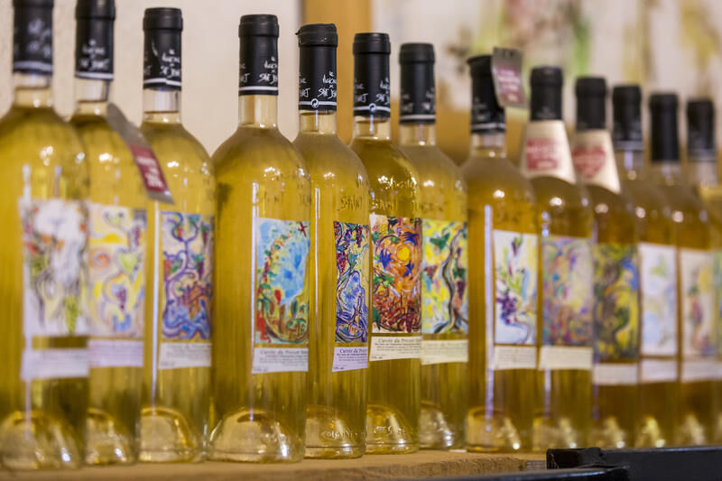
The descent of chemin de Saquier and the climb to Crémat will reveal the vineyards of the delicious Bellet wine, AOC harvested on the territory of the commune of Nice. This will be the opportunity to pass...
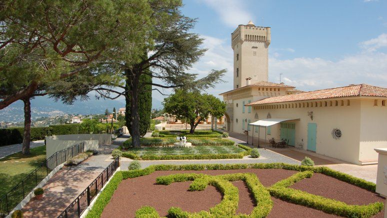
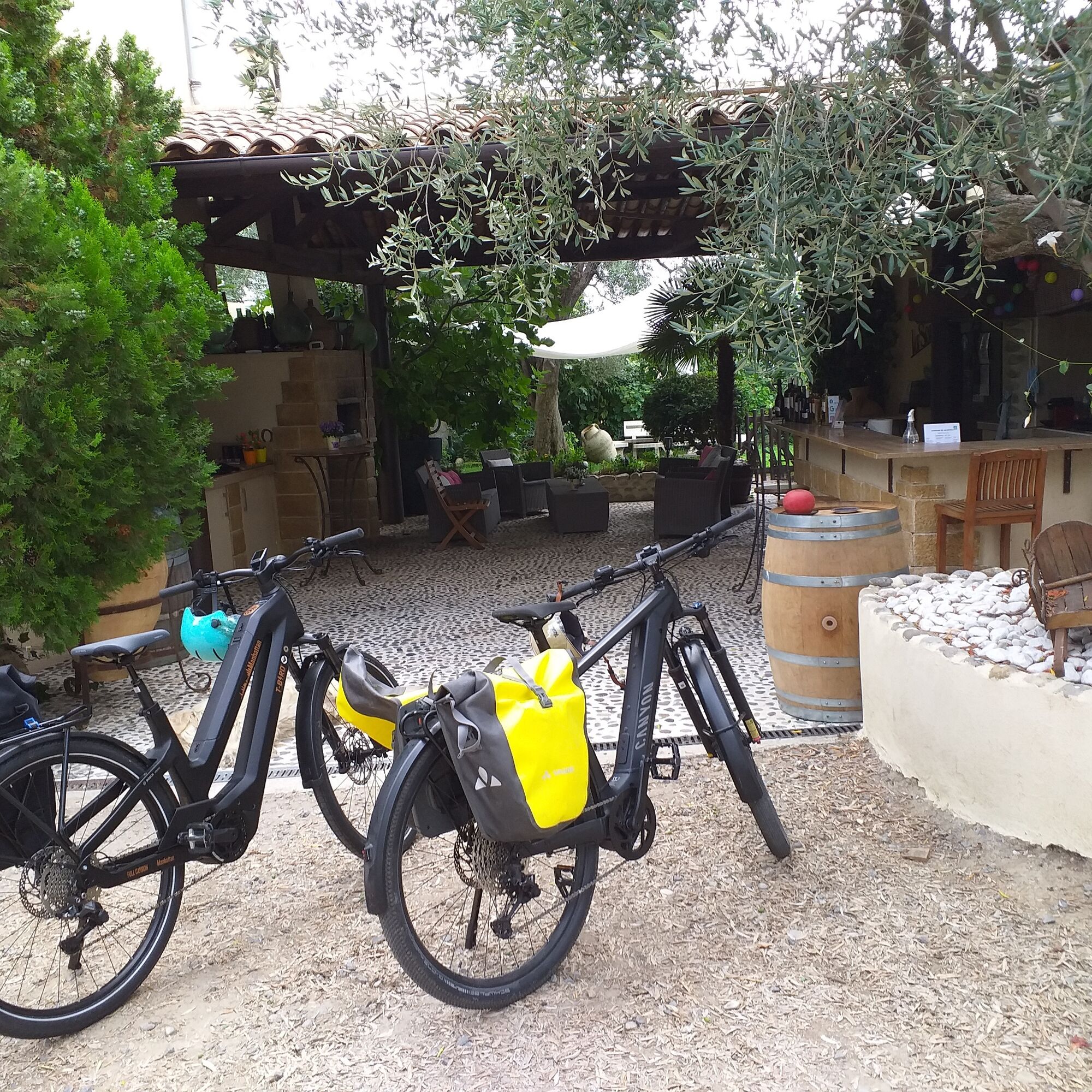
The descent of chemin de Saquier and the climb to Crémat will reveal the vineyards of the delicious Bellet wine, AOC harvested on the territory of the commune of Nice. This will be the opportunity to pass by the château, built in 1906 by Antoine Mari, a wine merchant. Since then, it has been an exceptional wine estate and a unique reception venue.



Ano
EQUIPMENT
-Wear an approved helmet
-Check the condition of your tires
-Bring a repair kit in case of puncture
-Preferably at least a flashing LED light to attach to the seatpost to be seen by motorists, especially in the small tunnels found in the Metropolis
Emergency number: 112
BASIC RULES
-Choose a route suitable for your physical condition, do not overestimate your abilities
-Check the mountain weather and pass openings before leaving
-Remember to carry an ID and an emergency contact number on you
-Respect traffic lights
-Prefer cycling lanes when they exist, which means:
a sign may require you to use them If the "cycle lane" sign is square: you decide. If it is round, you must use this lane obligatorily.-Respect the environment and other road users
GOOD PRACTICES FOR GROUP RIDING
-Riding two abreast is allowed, but single-file riding is required:
at nightfall or in poor visibility when a vehicle wanting to overtake indicates its approach.-In case of breakdown, position yourself on the lower side of the road, not on the road itself
-At "Stop", yellow light, fixed or flashing red light, an absolute stop is required for the whole group.
-Communicate within the group using verbal and gesture signals to indicate obstacles or vehicles. A simple gesture or word can prevent a fall or accident.
Nice is served by the A8 motorway "La Provençale", coming from Aix-en-Provence to the West and the border to the East.
To reach the start located at La Manda:
Take Exit No. 52: Saint-Isidore
Direction Digne via RM 6202
High-speed and express trains (TGV, Corail train) connect the Côte d’Azur to all French regions and all major European cities.
Find bus lines at: https://www.lignesdazur.com
Parking near the starting point.
2
To learn more about our destination, visit our site
A route accessible for leisure practice (FFC color: blue)
All outdoor activities of the Nice Côte d'Azur Metropolis are on https://outdoor.nicecotedazur.org
Oblíbené prohlídky v okolí
- 4.8
Tour du Cap-Ferrat
středníTuristika 8.99 km - 4.0
Chemin de Nietzsche
světloTuristika 3.73 km - 5.0
Little hike at Eze: Fort de la Revère Circuit
světloTuristika 6.02 km Little hike in Nice: the Mont Boron route
světloTuristika 5.13 kmNice - Aspremont / Pagarine Route (stage 1)
středníTuristika 15.8 km- 4.0
Little hike in Aspremont: Mont Chauve circuit
světloTuristika 6.49 km Grande Randonnée® de Pays: Lou Camin Nissart
heavydálková pěší trasa 44.7 kmFFC bike circuit no. 5: on the Tour De France routes (big loop)
středníSilniční kolo 74.2 km- 5.0
Goldtoni - Alpenbogen A082 Drap-Nizza
světlodálková pěší trasa 26.4 km FFC bike circuit no. 8: the 70.3 circuit (Half IRONMAN)
středníSilniční kolo 92.8 km
Pěší turistika a stopování


Nenechte si ujít nabídky a inspiraci pro vaši příští dovolenou
Vaše e-mailová adresa byl přidán do poštovního seznamu.





