GTHA - Grande Traversée des Hautes-Alpes à VTT (Parcours Balcons)
střední
Pořiďte si tuto prohlídku do mobilního telefonu
GTHA - Grande Traversée des Hautes-Alpes à VTT (Parcours Balcons)
střední
Mountainbike
248.41
km
Naskenujte QR kód a spusťte navigaci v aplikaci bergfex.


Pěší turistika a stopování





GTHA - Grande Traversée des Hautes-Alpes à VTT (Parcours Balcons)
střední
Vzdálenost
248.41
km
Doba trvání
168:00
h
Ascent
8248
hm
Hladina moře
718 -
2518
m
Stažení skladby
GTHA - Grande Traversée des Hautes-Alpes à VTT (Parcours Balcons)
střední
Mountainbike
248.41
km

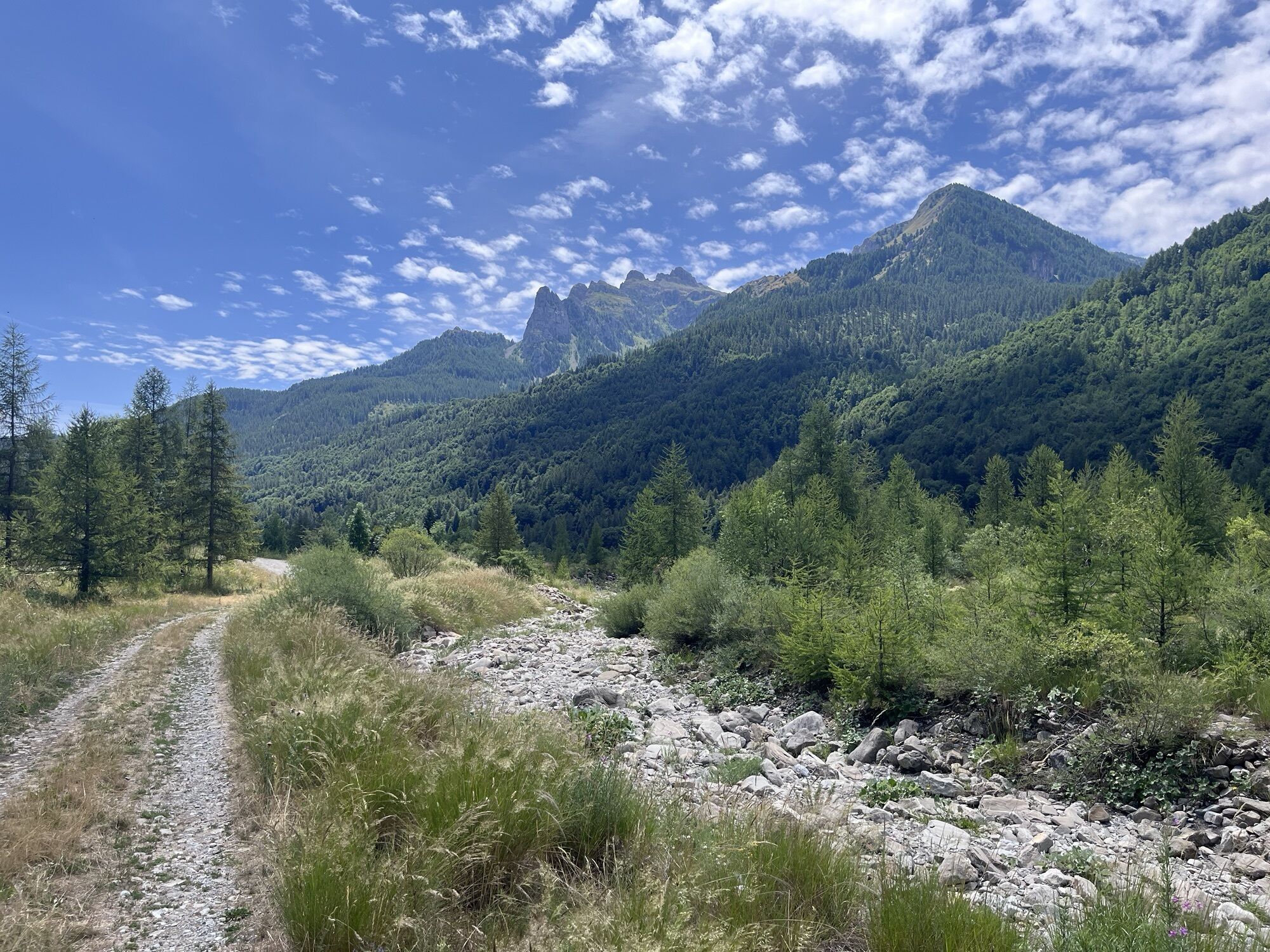
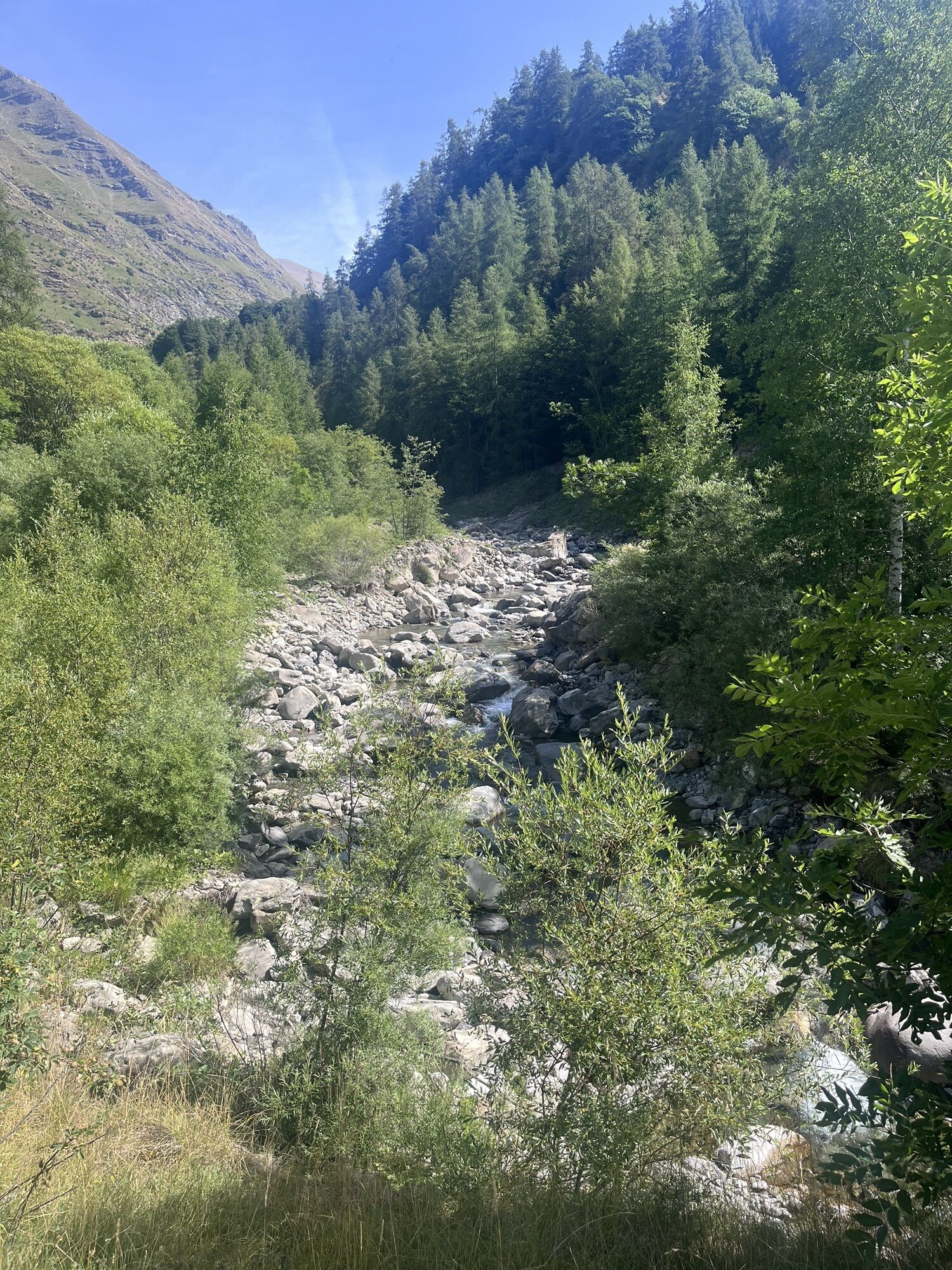
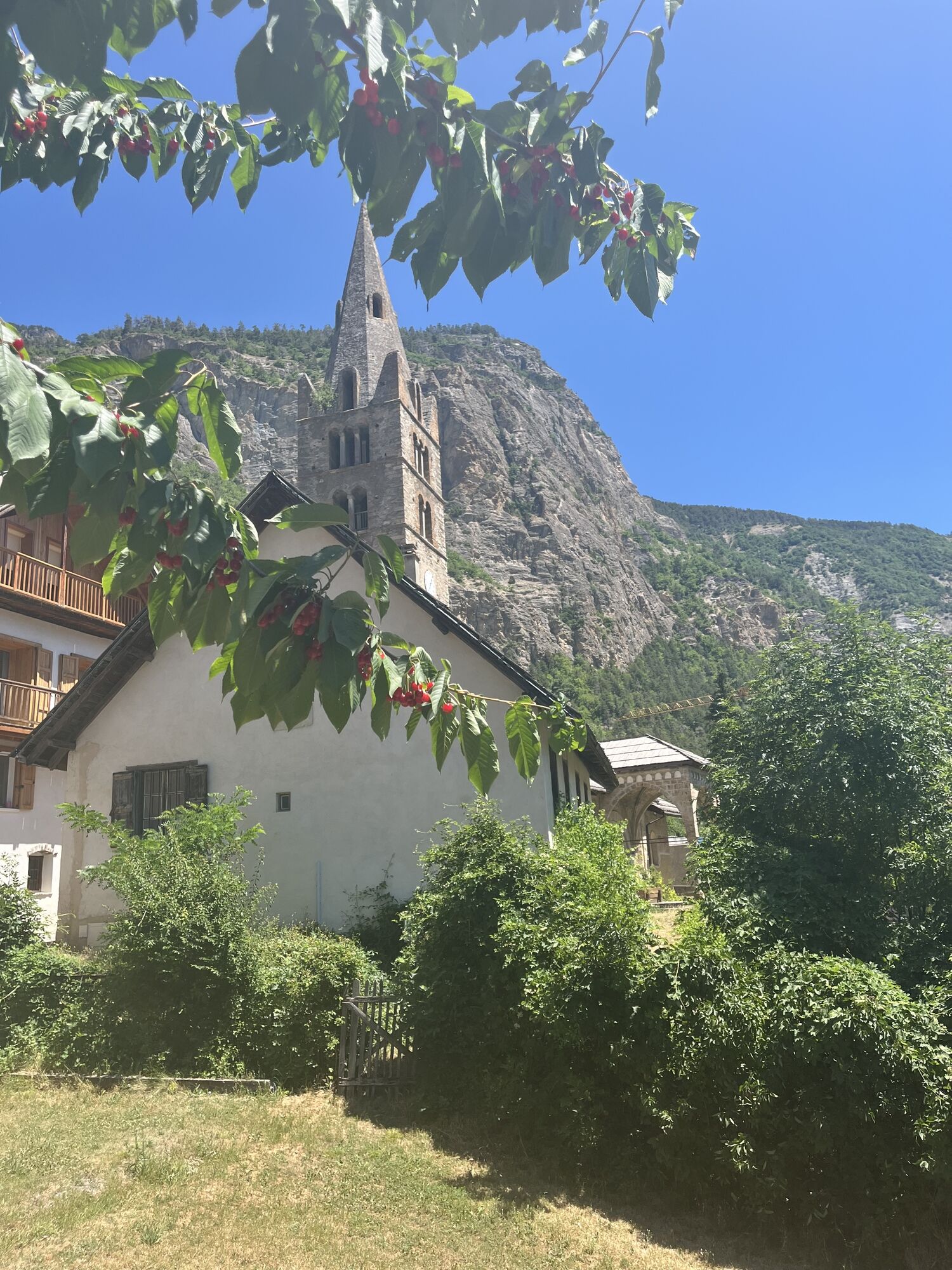
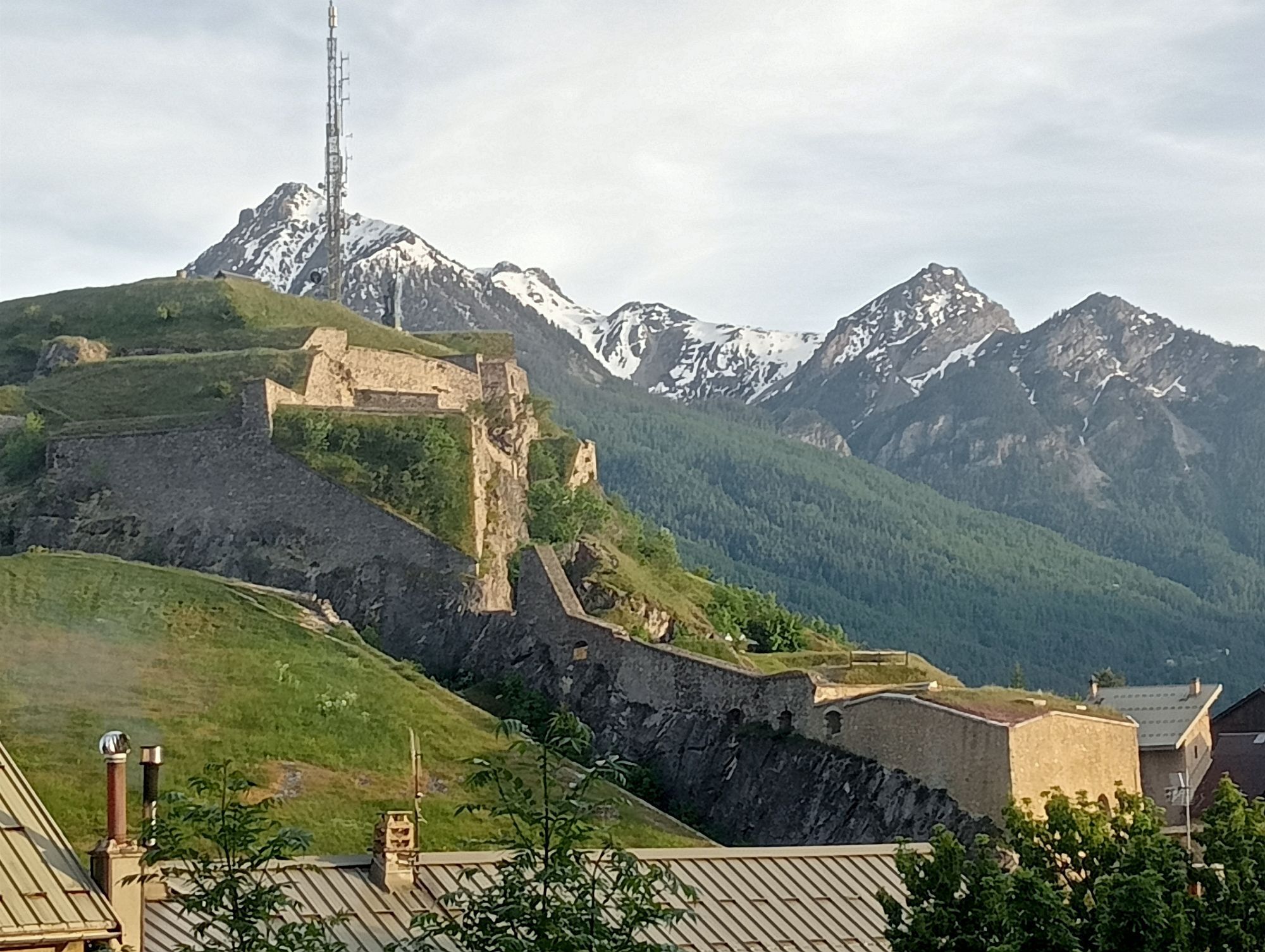
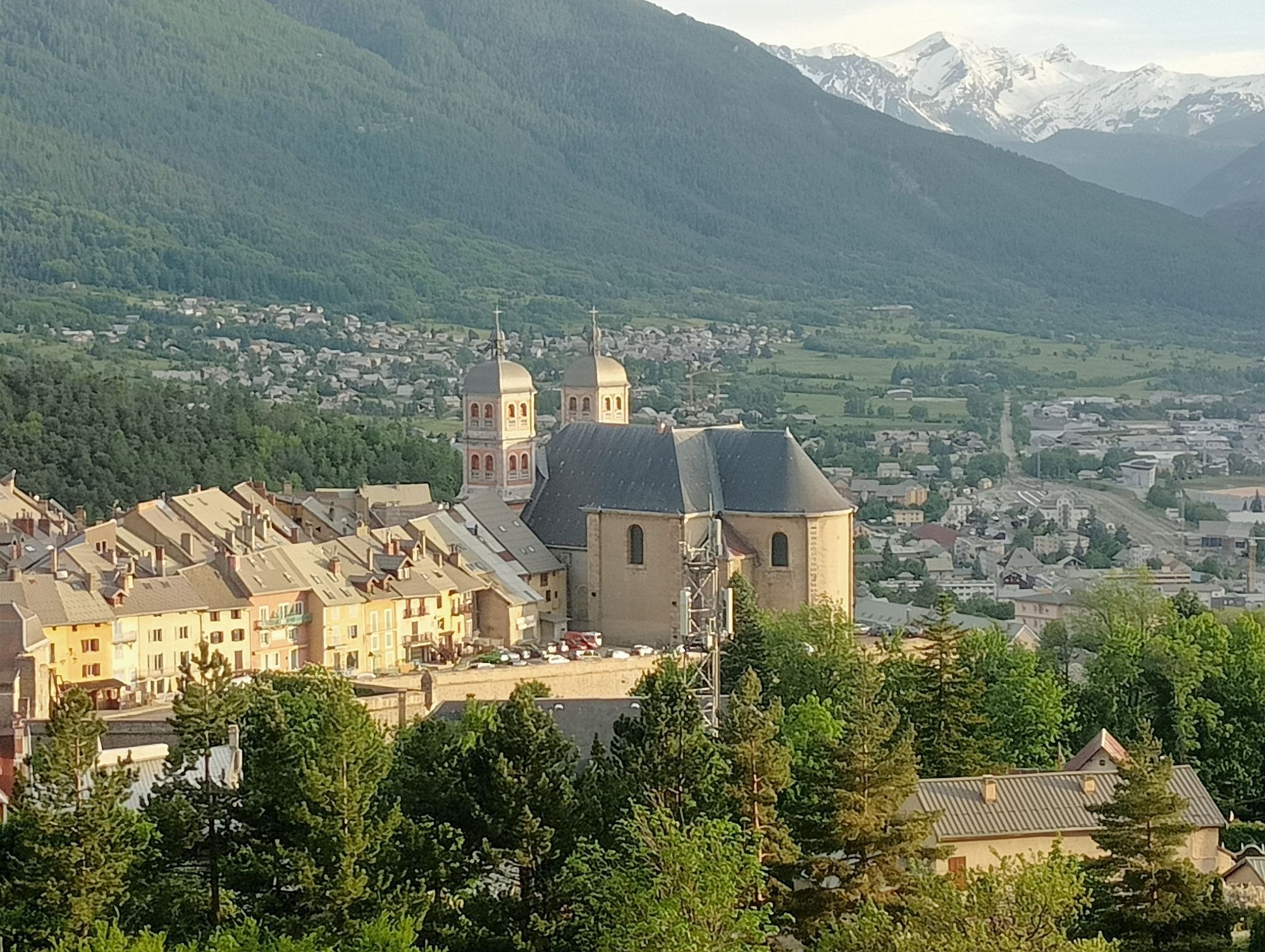
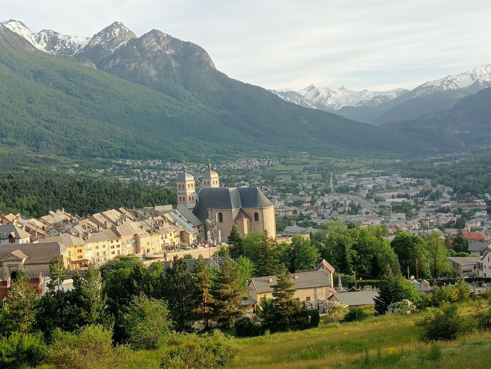
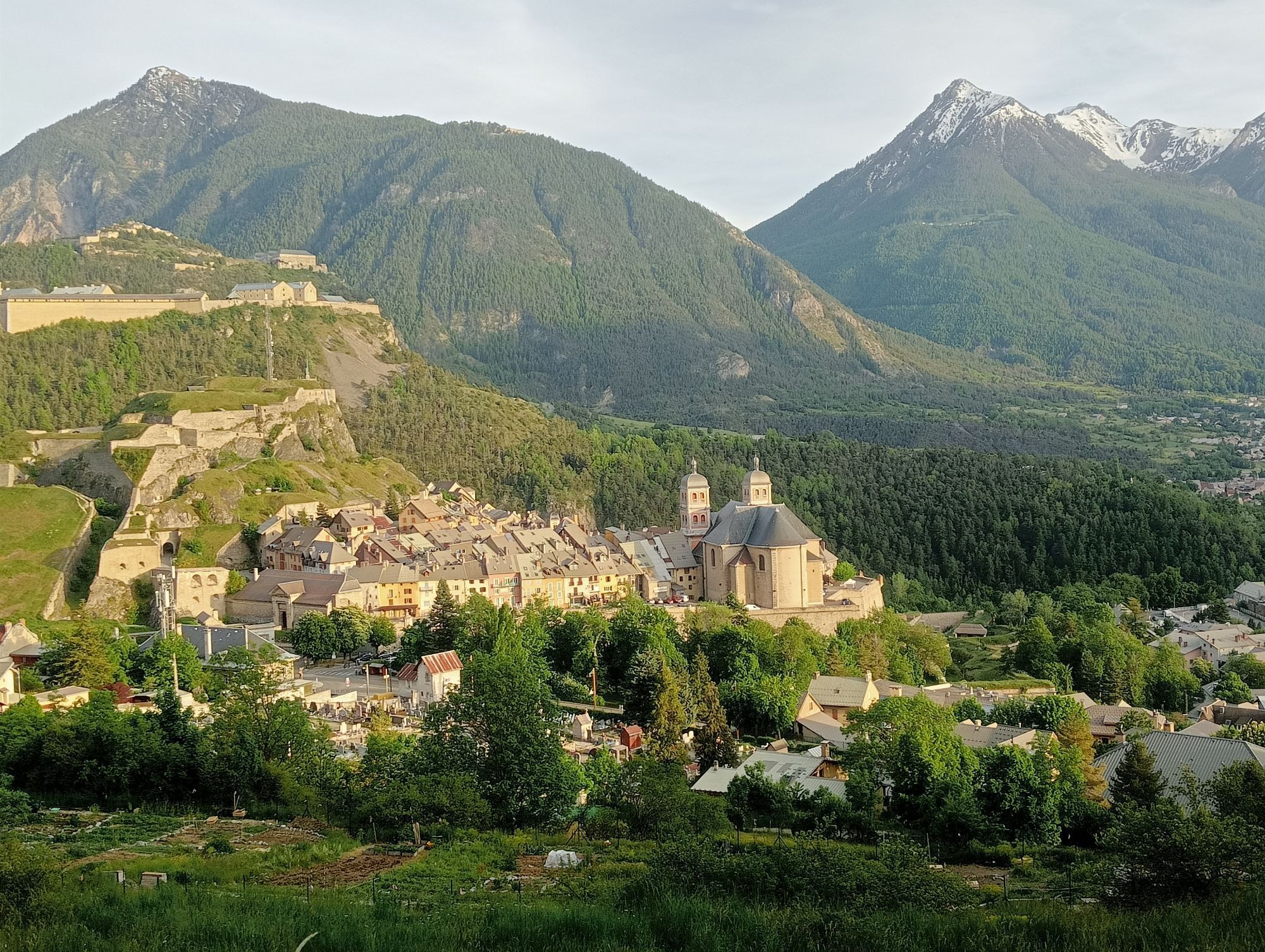
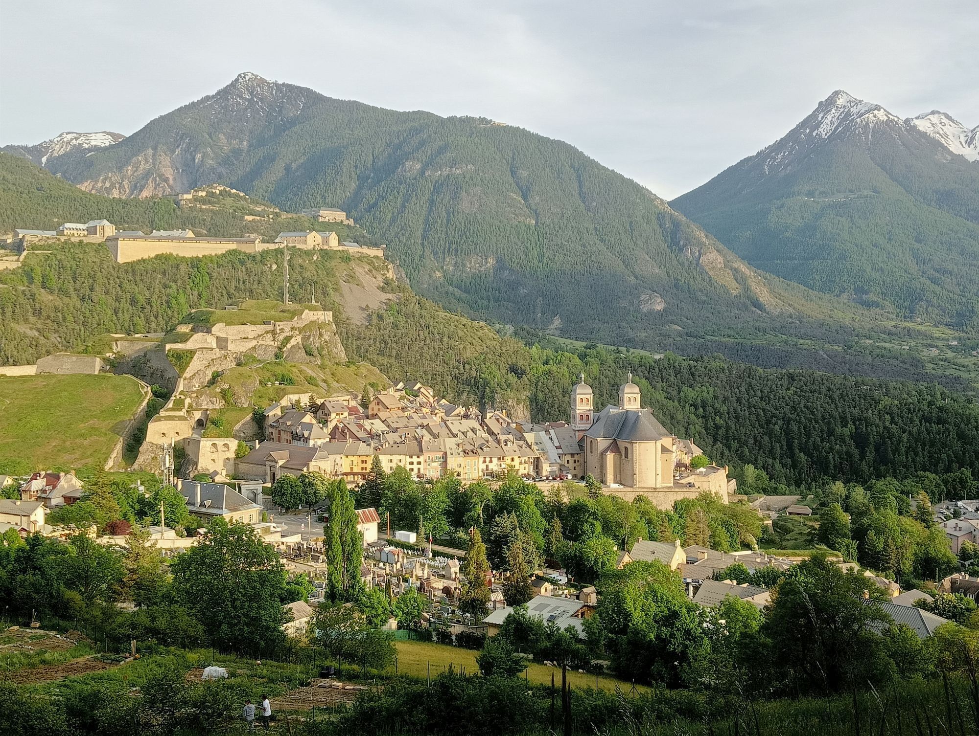

Trasa
Chapelle Notre-Dame du Mont-Carmel
(1915 m)
Místo konání bohoslužeb
13.8 km
Saint-Antoine
(1206 m)
Místo konání bohoslužeb
56.1 km
Col des Lauzes
(1844 m)
Horský průsmyk
97.5 km
Les Seyes
(1450 m)
Vypořádání
112.8 km
Chapelle Saint-Roch
(1094 m)
Místo konání bohoslužeb
138.2 km
Embrun
(865 m)
Město
144.4 km
Chapelle Saint-Jacques-de-la-Tourronde
(746 m)
Místo konání bohoslužeb
241.6 km
Trasa
GTHA - Grande Traversée des Hautes-Alpes à VTT (Parcours Balcons)
střední
Mountainbike
248.41
km
Le Pied du Col
(1710 m)
Vypořádání
1.6 km
Col du Lautaret
(2058 m)
Vypořádání
5.5 km
Auberge du Pont de l'Alp
(1699 m)
Restaurace
12.5 km
Chapelle Notre-Dame du Mont-Carmel
(1915 m)
Místo konání bohoslužeb
13.8 km
L'Alpe du Lauzet
(1949 m)
Koridor/terén
14.0 km
Buvette du Granon
(2406 m)
Restaurace
36.4 km
Croix de Toulouse
(1968 m)
Koridor/terén
45.8 km
Bon Repos
(1772 m)
Zdroj:
46.9 km
Briançon
(1308 m)
Město
49.6 km
Font Christianne
(1342 m)
Vypořádání
53.4 km
Cros du Cabre Gueyt
(1317 m)
Koridor/terén
53.8 km
Les Mounières
(1298 m)
Koridor/terén
54.0 km
Central Parc
(1215 m)
Sousedství
55.8 km
Saint-Antoine
(1206 m)
Místo konání bohoslužeb
56.1 km
Le Pinet
(1277 m)
Vypořádání
57.4 km
Chapelle Saint-Claude
(1278 m)
Místo konání bohoslužeb
57.4 km
Rochas Garnier
(1337 m)
Vypořádání
57.7 km
Puy-Saint-André
(1509 m)
Vesnice
60.5 km
Puy Chalvin
(1630 m)
Vypořádání
61.8 km
L'evrette
(1719 m)
Piknikový stůl
62.9 km
Ratière
(1781 m)
Vypořádání
68.2 km
Bouchier
(1506 m)
Vypořádání
75.3 km
Gaudissart
(1449 m)
Koridor/terén
79.0 km
Barthalay
(1405 m)
Koridor/terén
79.2 km
La Sagne
(1193 m)
Koridor/terén
81.2 km
Les Vigneaux
(1105 m)
Vesnice
81.5 km
Florette
(1117 m)
Koridor/terén
81.9 km
La Bourgea
(1180 m)
Vypořádání
88.4 km
La Blachiere
(1245 m)
Vypořádání
88.6 km
Chapelle Saint-Roch
(1242 m)
Místo konání bohoslužeb
88.8 km
Col des Lauzes
(1844 m)
Horský průsmyk
97.5 km
Les Aujards
(1601 m)
Vypořádání
99.1 km
Les Roberts
(1413 m)
Vypořádání
100.0 km
Les Houdouls
(1299 m)
Vypořádání
100.6 km
Freissinières
(1206 m)
Vesnice
101.3 km
Les Ribes
(1180 m)
Vypořádání
101.7 km
Les Seyes
(1450 m)
Vypořádání
112.8 km
Champcella
(1207 m)
Vesnice
115.2 km
Le Ponteil
(1464 m)
Vypořádání
116.9 km
Les Chamousses
(1073 m)
Vypořádání
133.8 km
La Touisse
(1120 m)
Vypořádání
133.9 km
Fontfourane
(1035 m)
Vypořádání
135.4 km
Croix de Vière
(1073 m)
Vypořádání
135.6 km
Les Crisserons
(1119 m)
Vypořádání
135.7 km
Serre de Vière
(1029 m)
Vypořádání
135.7 km
Saint-Marcelin
(1082 m)
Vesnice
135.9 km
Saint-Marce
(1057 m)
Vypořádání
136.0 km
Au-dessous de Lazarier
(952 m)
Vypořádání
136.3 km
Châteauroux-les-Alpes
(986 m)
Vesnice
136.9 km
Les Aubergeries
(979 m)
Vypořádání
136.9 km
Église Saint-Irénée
(1011 m)
Místo konání bohoslužeb
137.1 km
Les Pins
(1040 m)
Vypořádání
137.4 km
Les Gensuls
(1042 m)
Vypořádání
137.5 km
Saint-Roch
(1095 m)
Vypořádání
138.0 km
Chapelle Saint-Roch
(1094 m)
Místo konání bohoslužeb
138.2 km
Les Champets
(1152 m)
Vypořádání
138.7 km
Les Rozans
(1125 m)
Vypořádání
138.7 km
Les Gérards
(1179 m)
Vypořádání
139.2 km
Les Tardons
(1179 m)
Vypořádání
139.3 km
La Reste
(1186 m)
Vypořádání
139.4 km
Embrun
(865 m)
Město
144.4 km
Caléyère
(1120 m)
Vypořádání
144.7 km
Le Château de Caléyère
(1230 m)
Vypořádání
146.2 km
Les Méans
(1279 m)
Vypořádání
158.4 km
Réallon
(1389 m)
Vypořádání
160.6 km
Le Villard
(1450 m)
Vypořádání
162.5 km
Les Gourniers
(1471 m)
Vypořádání
164.6 km
Le Mélézin
(1474 m)
Restaurace
164.6 km
Les Ollieux
(1542 m)
Vypořádání
165.2 km
Les Tomelles
(1568 m)
Vypořádání
165.4 km
Le Bourget
(1547 m)
Vypořádání
166.6 km
Aigue Noire
(1605 m)
Stanice gondoly
171.9 km
Station de Ski de Réallon
(1554 m)
Vypořádání
173.0 km
Forest des Barthiers
(1543 m)
Vypořádání
183.4 km
Serre l'Eyglier
(1593 m)
Úhel pohledu
190.4 km
Freysset
(1066 m)
Vypořádání
232.2 km
Gap
(739 m)
Město
234.0 km
Le Senateur
(838 m)
Koridor/terén
234.6 km
Saint-Jean
(778 m)
Vesnice
238.9 km
Chapelle Saint-Jacques-de-la-Tourronde
(746 m)
Místo konání bohoslužeb
241.6 km
Église Sainte-Foy
(785 m)
Místo konání bohoslužeb
246.3 km
Châteauvieux
(787 m)
Vesnice
246.5 km
Ville Vieille
(739 m)
Vypořádání
248.4 km
Lettret
(599 m)
Vesnice
248.4 km
Autor
Poskytuje Terres de Gap
Prohlídku GTHA - Grande Traversée des Hautes-Alpes à VTT (Parcours Balcons) zajišťuje outdooractive.com.


Informace o trase
Trasa
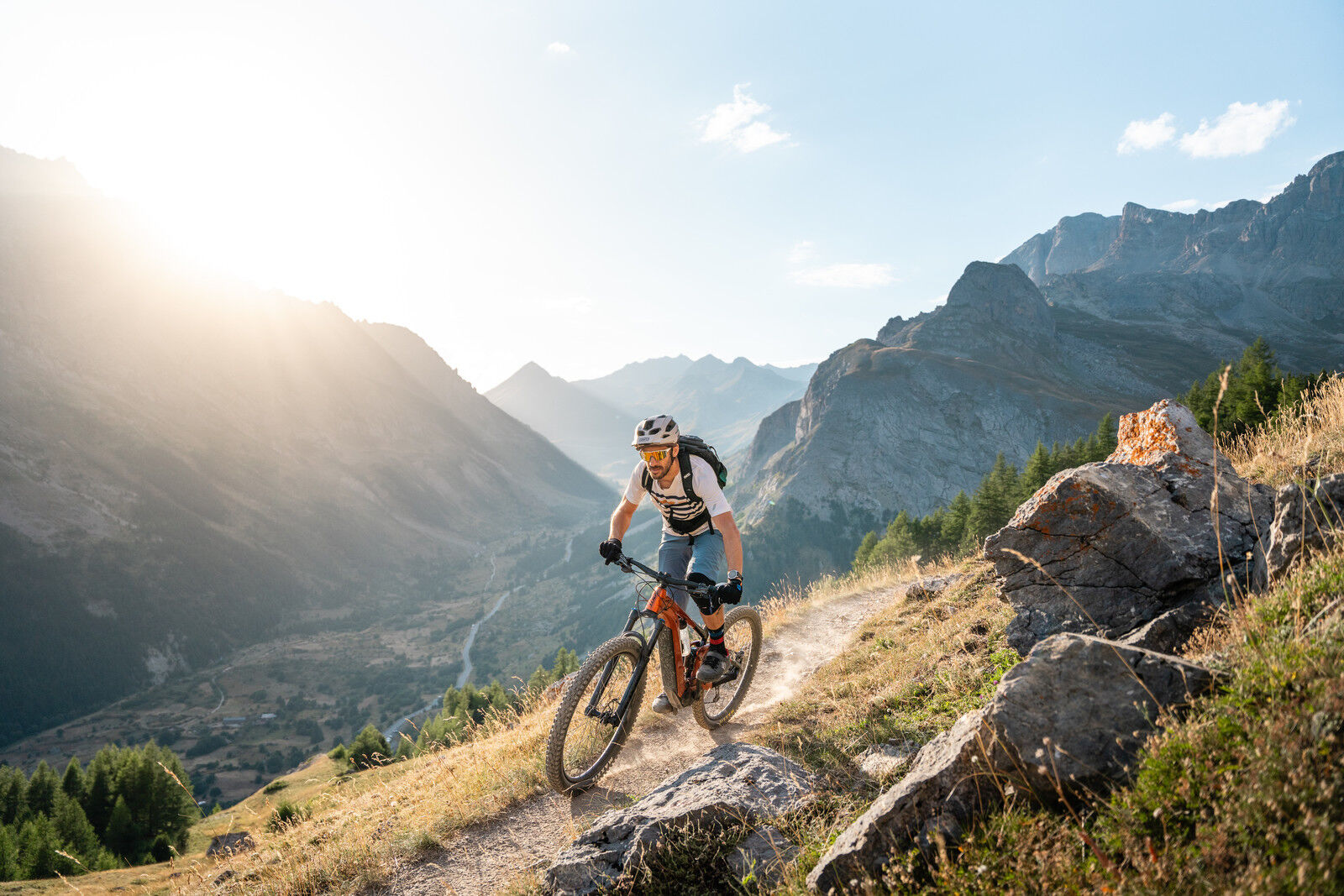
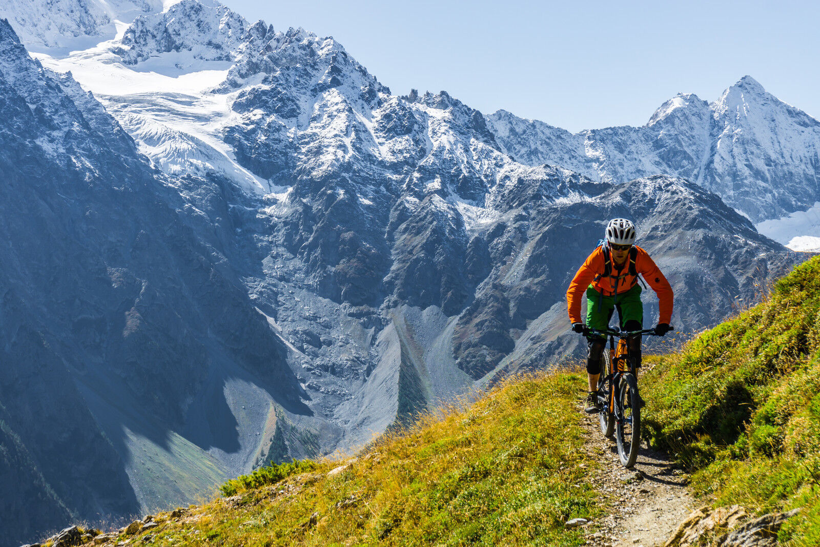
Willkommen zur höchsten mittleren Höhenlage der FFC-Großdurchquerung in Frankreich. Von La Grave-Villar d’Arène bis Laragne-Montéglin bis Sisteron bietet die GTHA eine unvergleichliche Vielfalt an Landschaften und Nervenkitzel: Der Start erfolgt in einer Hochgebirgsumgebung zu Füßen der Gletscher, das Ziel in einer provenzalischen Atmosphäre zwischen Obstgärten und Lavendel, nicht zu vergessen der Abschnitt an den Balkonen des Serre-Ponçon-Sees über beeindruckende Singletrails. Die Route verläuft größtenteils auf den Spuren des neuen Großen Rundwegs der Écrins mit dem Mountainbike und trifft im Süden des Departements auf die "Chemins du Soleil".
2 Versionen:
Süd-Balkon-Version (über die Écrins und den Gapençais)
357 km / 17.140 Hm Aufstieg / 18.110 Hm Abstieg
Col d’Altitude-Version (über das Queyras und das Dévoluy)
349 km / 17.610 Hm Aufstieg / 18.620 Hm Abstieg
Durchschnittliche Dauer der Tour:
ca. 7 bis 10 Tage pro Version, je nach Niveau
Fahrtechnik-Level: Schwierig
DAS PLUS
- Das Erlebnis echten Mountainbikens in Gebirge und Höhe (max. Höhe 2.500 m)
- Die Landschaftskontraste, von Gletschern bis zum Lavendel
- Eine Route, die überwiegend aus Singletrails besteht
- 8 FFC® Mountainbike-Standorte der Hautes-Alpes in einer einzigen Tour (Grand Briançonnais > Pays des Écrins > Guillestrois Queyras > Serre-Ponçon > Champsaur & Valgaudemar > Täler des Gapençais > Buëch Dévoluy > Sisteron Büech)
- Ein gutes Netzwerk an Accueil Vélo-Unterkünften entlang der Route
- TER-Bahnhöfe entlang der Strecke
- Fachleute zur Organisation Ihres Aufenthalts: Komplettpauschalen, à la carte, Gepäcktransport, Unterkunftsreservierung, Betreuung, Fahrrad- oder E-Bike-Verleih
- Eine internationale Veranstaltung: Alps Epic in den Hautes-Alpes
2 Versionen:
Süd-Balkon-Version (über die Écrins und den Gapençais)
357 km / 17.140 Hm Aufstieg / 18.110 Hm Abstieg
Col d’Altitude-Version (über das Queyras und das Dévoluy)
349 km / 17.610 Hm Aufstieg / 18.620 Hm Abstieg
Durchschnittliche Dauer der Tour:
ca. 7 bis 10 Tage pro Version, je nach Niveau
Fahrtechnik-Level: Schwierig
DAS PLUS
- Das Erlebnis echten Mountainbikens in Gebirge und Höhe (max. Höhe 2.500 m)
- Die Landschaftskontraste, von Gletschern bis zum Lavendel
- Eine Route, die überwiegend aus Singletrails besteht
- 8 FFC® Mountainbike-Standorte der Hautes-Alpes in einer einzigen Tour (Grand Briançonnais > Pays des Écrins > Guillestrois Queyras > Serre-Ponçon > Champsaur & Valgaudemar > Täler des Gapençais > Buëch Dévoluy > Sisteron Büech)
- Ein gutes Netzwerk an Accueil Vélo-Unterkünften entlang der Route
- TER-Bahnhöfe entlang der Strecke
- Fachleute zur Organisation Ihres Aufenthalts: Komplettpauschalen, à la carte, Gepäcktransport, Unterkunftsreservierung, Betreuung, Fahrrad- oder E-Bike-Verleih
- Eine internationale Veranstaltung: Alps Epic in den Hautes-Alpes
Prohlídka vrcholu
Ano
Informace o příjezdu
Veřejná doprava
Begrenzen wir die Autofahrten, denken wir an öffentliche Verkehrsmittel und Fahrgemeinschaften. Alle öffentlichen Verkehrsmittel auf www.pacamobilite.fr
Zatím žádné recenze
Webové kamery z prohlídky
Puy-Saint-Vincent
Puy-Saint-Vincent
Col du Galibier
Briancon
Serre Chevalier - Monêtier les Bains
Serre Chevalier - Col du Lautaret
Serre Chevalier - Saint-Chaffrey
Ancelle
Saint-lèger-les-Mélèzes
Saint-lèger-les-Mélèzes - Front de Neige
Névache - Domaine nordique
Serre-Chevalier - Refuge du Clôt des vaches
Prorel - Serre Chevalier
Baratier accès Les Orres
Ancelle - Zénith
Ancelle- Front de neige
Domaine nordique de Villar d'Arène
Plan d'eau d'Embrun
Získejte přehled Vždy živě na místě s více než 9 500 webkamerami. bergfex Jako uživatel Pro si nyní můžete zobrazit odpovídající webové kamery pro mnoho prohlídek v aplikaci prohlídky z. Můžete si tak přímo prohlédnout aktuální podmínky. Oblíbené prohlídky v okolí
GR® 50
středníTuristika 238.5 km- 5.0
Goldtoni - Alpenbogen A074-1 Tete de Vautisse 3156m
střednídálková pěší trasa 23.7 km - 5.0
Goldtoni - Alpenbogen A074 Freissinieres-Mont-Dauphin
světlodálková pěší trasa 21.0 km - 5.0
Goldtoni - Alpenbogen A073 Vallouise-Freissinieres
světlodálková pěší trasa 26.3 km Les Vigneaux, via ferrata la Balme
středníVia ferrata 5 kmVallon de Narreyroux and Col Du Bal
středníSněžnice 7.27 kmGTHA - Grande Traversée des Hautes-Alpes à VTT (Parcours Grands Cols)
středníMountainbike 250.6 kmDouble Tête, snowshoe
světloSněžnice 13.3 kmJardin public - Chapelle Saint-Louis - Saint-Joseph - Gaboyer
Silniční kolo 312.8 km- 5.0
Vallouise - Refuge des Bans
středníTuristika 8.43 km

Pěší turistika a stopování

Více než 550.000 návrhů výletů, podrobné mapy a intuitivní plánovač tras dělají z aplikace nezbytnou výbavu pro všechny milovníky přírody.

Nenechte si ujít nabídky a inspiraci pro vaši příští dovolenou
Přihlaste se k odběru newsletteru
Chyba
Došlo k chybě. Zkuste to prosím znovu.Děkujeme za vaši registraci
Vaše e-mailová adresa byl přidán do poštovního seznamu.
Zájezdy po celé Evropě
Rakousko Švýcarsko Německo Itálie Slovenia Francie Nizozemsko Belgie Polsko Lichtenštejnsko Česko Slovensko Španělsko Chorvatsko Bosna a Hercegovina Lucembursko Andorra Portugal Iceland United Kingdom Ireland Greece Albania North Macedonia Malta Norway Montenegro Moldova Kosovo Hungary San Marino Romania Estonia Latvia Belarus Cyprus Lithuania Serbia Bulgaria Monaco Denmark Sweden Finland





