


Mountain bike circuit FFC no. 21a: Les granges de la Brasque
Prefer mountain bikes with electric assistance

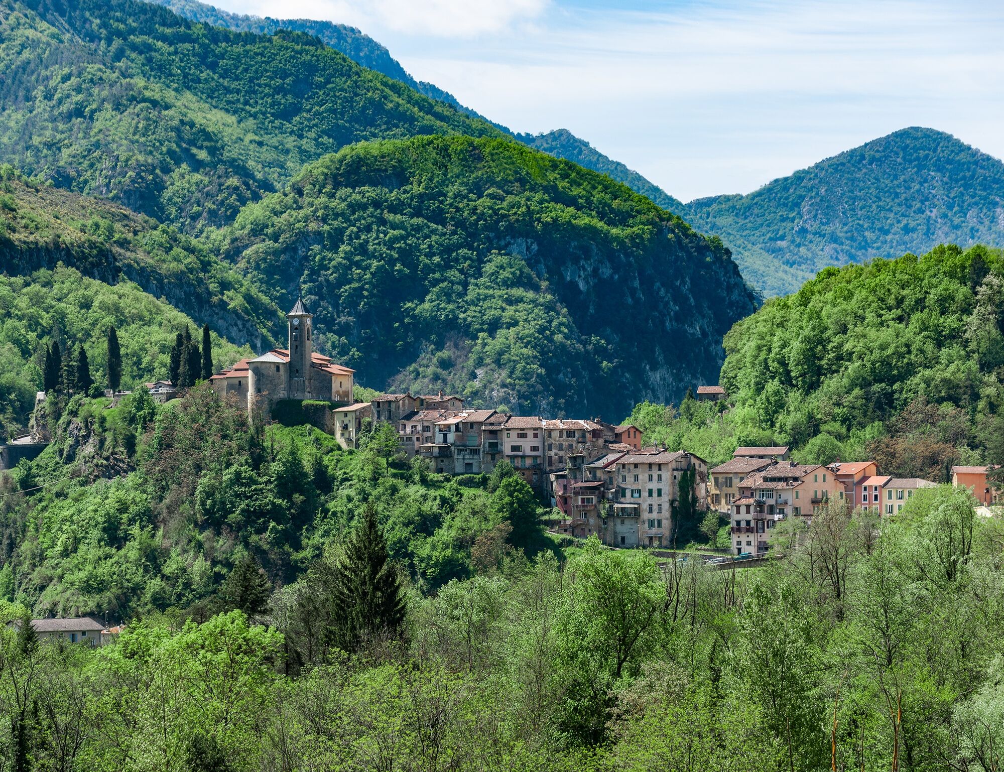
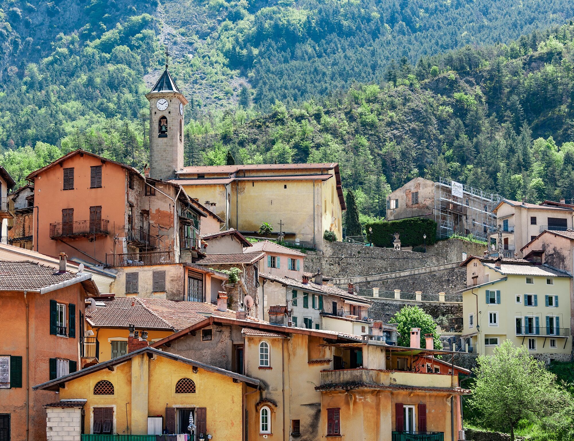
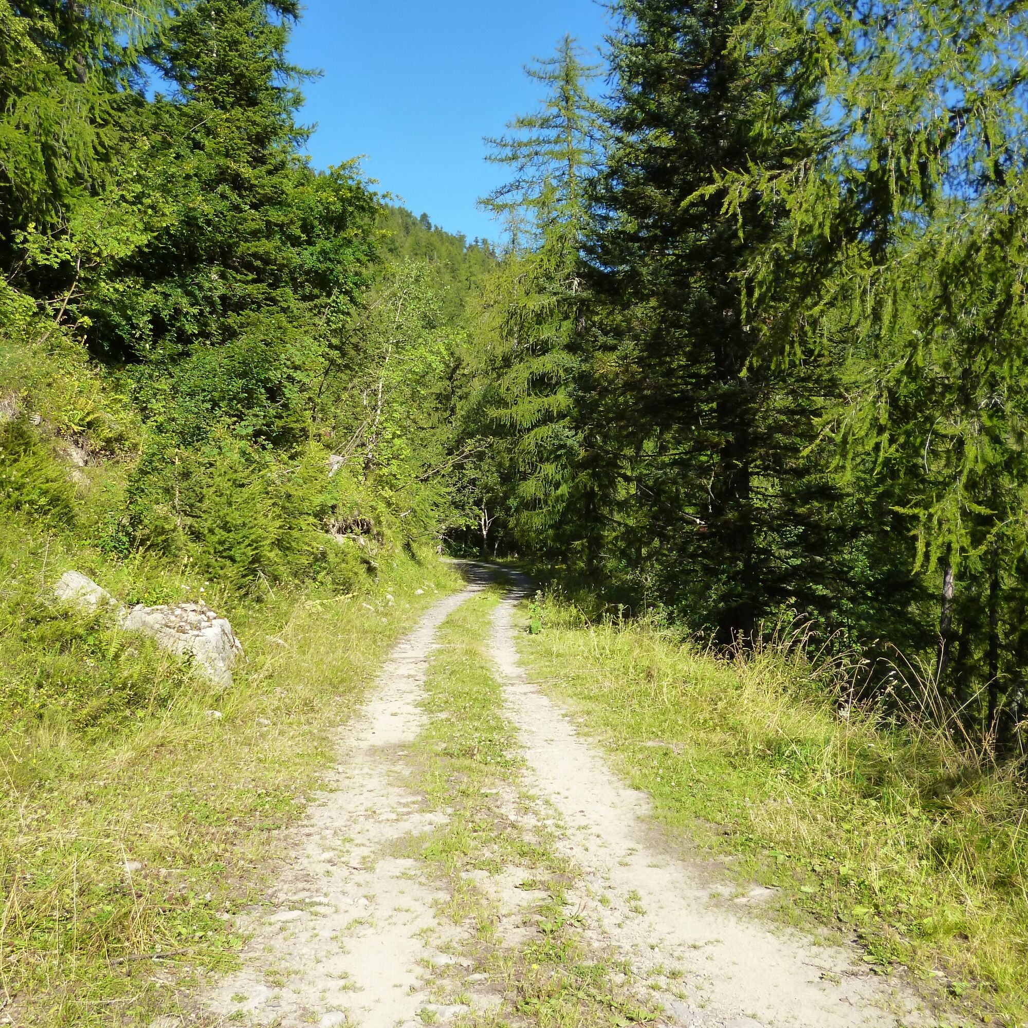
Starting from the village of Lantosque, the circuit follows a paved road to the hamlet of Clapières. Upon reaching it, turn right towards the hamlet of Quinsons. The road then becomes a track climbing on the south-facing slope overlooking the village of Lantosque. At the fork dominating the two villages of Lantosque and Roquebillière, turn left towards Les Granges de la Brasque. The steady climb of 5 to 6% up to the farmhouses offers beautiful views over the Vésubie valley. The return poses no difficulty and offers a possible variant towards the Roquebillière dairy farm.
Wear a helmet, bring protective gear and repair accessories.
Watch the weather: Mountain weather changes quickly, bring warm clothing.
Follow marked trails, do not take shortcuts, and respect the route directions.
Before starting a route, check that it matches your skill level, inspect the condition of your mountain bike, and leave your route with someone.
Be careful, courteous, and slow down when overtaking other users.
Be extra cautious during hunting season and check for ongoing drives.
If you encounter livestock guardian dogs (patous), get off your bike, avoid sudden movements, and go around the herd.
Respect private property, cultivated areas, and close gates after passing.
Adopt an eco-friendly behavior: take your waste with you and respect local flora and fauna to preserve nature.
Always make sure to carry the IGN map corresponding to the route concerned.
The Lignes d’azur network offers a single fare for the entire Metropolis Nice Côte d’Azur. Validation is mandatory each time you board the bus regardless of the ticket used. To view all fares, click here: www.lignesdazur.com
Free parking in the village center, next to the stadium
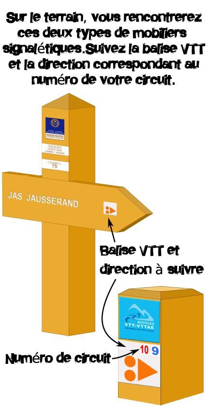
Follow the mountain bike markings corresponding to the circuit number: The circuit is marked with orange "VTT FFC" arrows on which the circuit numbers to follow are displayed
All outdoor activities of the Metropolis Nice Côte d'Azur are on https://outdoor.nicecotedazur.org
Oblíbené prohlídky v okolí
The Salt Roads: The Pagarine Route
střednídálková pěší trasa 159.7 km- 5.0
FFC cycling circuit No. 32: The loop of the 2 valleys from St. Sauveur/Tinée
heavySilniční kolo 117.8 km - 5.0
Goldtoni - Alpenbogen A104 Refuge des Merveilles-Refuge de la Modena de Fenestre
střednídálková pěší trasa 18.6 km FFC MTB Circuit No. 4b: Le Turini
středníMountainbike 32.0 kmRoquebillière - Saint-Martin-Vésubie / Pagarine route (stage 5)
heavyTuristika 18.3 kmUtelle - Roquebillière / Pagarine route (stage 4)
středníTuristika 20.0 kmRoute n°1 - 2 days - Stage 2 Isola Village - Nice
heavySilniční kolo 139.4 kmVTT FFC route no. 2: The Férisson dairy farm
heavyMountainbike 28.0 kmAuron - Nice gravel route
heavyCyklistika na velkou vzdálenost 364.4 kmMountain bike FFC circuit no. 53: The Madeleine Pass - La Colmiane
heavyMountainbike 18.8 km
Pěší turistika a stopování


Nenechte si ujít nabídky a inspiraci pro vaši příští dovolenou
Vaše e-mailová adresa byl přidán do poštovního seznamu.