


Southern Piedmont Way | Stage 2 Montaldo di Cosola – Cartasegna
After crossing the bridge and ignoring the path that branches off to the left, continue slightly uphill, always following the red and white trail signs: at the end of a large hairpin bend you reach a crossroads...
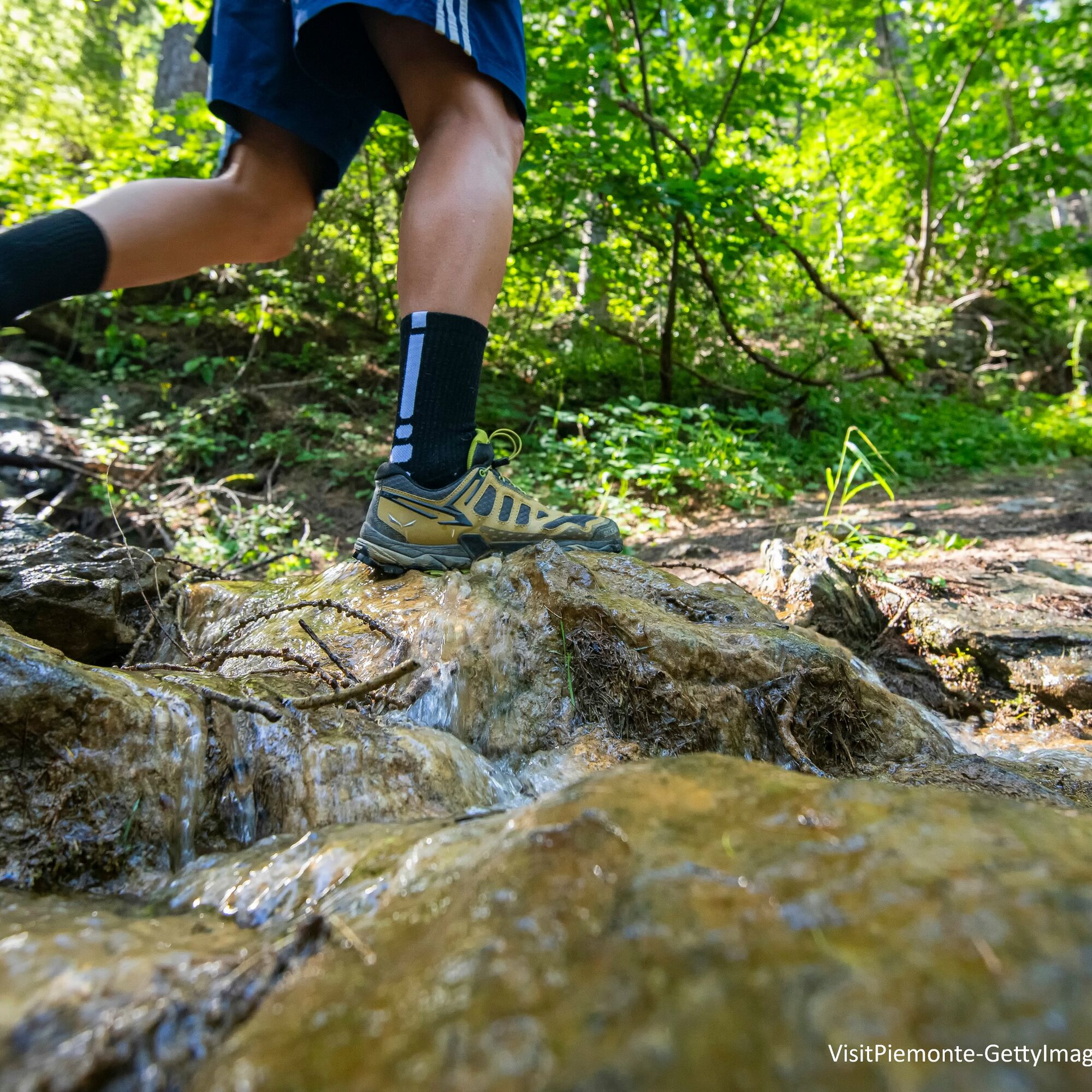
Continuing through the beech forest, after about 1.5 hours of walking, you reach the Fontana della Gallina: we are in fact in the valley of the same name, on the slopes of Mount Porreio. From here the path enters the contiguous area of the Alta Val Borbera, established together with the Park of the same name, and for a good stretch runs alongside the Special Conservation Area (SAC) IT1180011 – Antola Massif, Monte Carmo, Monte Legnà.
Another short climb and then a plateau leads to the crossroads for Monte Porreio (1276 m): here the panorama widens over the ridges of the Antola and Buio mountains, while down on the left you can already see the houses of the village of Daglio. Continue downhill, still following path 229, along a stretch where the beech forest has been drastically cut and the landscape is no longer the fairy-tale one of the climb, until you reach the junction with the old municipal road that from Cosola led to Daglio and continue, now slightly downhill, up to the town of Daglio.
Once you reach the Chapel, you leave the CAI 229 path and continue on the CAI 230 which allows you to visit the beautiful village of Daglio which also marks the entrance of the route into the Special Conservation Area.
Between stairs and steep sections you arrive at the asphalt road right near a fountain, where you can stock up on drinking water. You then arrive at the Daglio car park and continue on asphalt until the first hairpin bend where, on the right, a track without signs branches off uphill which you need to follow for about a kilometer until you reach, at an altitude of 1044 m, a plateau where There is a colony, currently used as a summer camp for young people.From here, take a path on the right which, going down, crosses three tributaries of the Ghiaion Torrent below and reaches the point where the small chapel dedicated to S. Rocco stands, from which you can see the hamlet of Cartasegna. Continuing, you cross the asphalt road and then enter the town.

Oblíbené prohlídky v okolí
-
5.0
Sentiero 106 : Sentiero Caldirola - Monte Ebro in mountain bike
Mountainbike 4.62 km -
Sentiero 106 : Sentiero Caldirola - Monte Ebro in camminata
Poutní stezka 4.61 km -
Sentiero 200 - Anello Borbera - Spinti - TAPPA 7/11 (Capanne di Carrega - Monte Antola) in camminata
Poutní stezka 6.23 km -
Sentiero 200 - Anello Borbera - Spinti - TAPPA 7/11 (Capanne di Carrega - Monte Antola) in mountain bike
Mountainbike 6.23 km -
Sentiero 200 - Anello Borbera - Spinti - TAPPA 8/11 (San Fermo - Monte Antola) in camminata
Poutní stezka 7.75 km -
Sentiero 200 - Anello Borbera - Spinti - TAPPA 5/11 (Capanne di Cosola - Monte Giarolo) in camminata
Poutní stezka 9.93 km -
Sentiero 200 - Anello Borbera - Spinti - TAPPA 5/11 (Capanne di Cosola - Monte Giarolo) in mountain bike
Mountainbike 9.96 km -
Weg 107: Caldirola - Monte Giarolo Wanderweg
Poutní stezka 2.63 km -
Sentiero 200 - Anello Borbera - Spinti - TAPPA 8/11 (San Fermo - Monte Antola) in mountain bike
Mountainbike 7.75 km -
Sentiero 200 - Anello Borbera - Spinti - TAPPA 4/11 (Forcella Sud Monte Barillaro - Monte Giarolo) in camminata
Poutní stezka 13.3 km
Pěší turistika a stopování


Nenechte si ujít nabídky a inspiraci pro vaši příští dovolenou
Vaše e-mailová adresa byl přidán do poštovního seznamu.