







AVU Alta Via dei Lupi | Stage 4A Limone Piemonte - Limonetto

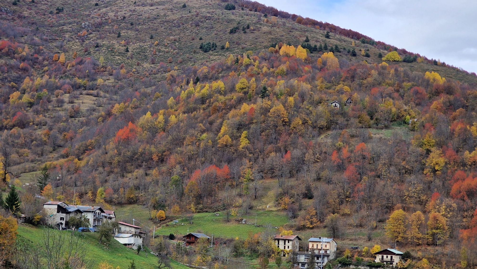
As a variant of stage 4, as well as a connection of the main Alta Via dei Lupi itinerary with the Anello del Vermenagna itinerary, you can start from Limone Piemonte and go up to Limonetto. The stretch...
As a variant of stage 4, as well as a connection of the main Alta Via dei Lupi itinerary with the Anello del Vermenagna itinerary, you can start from Limone Piemonte and go up to Limonetto. The stretch follows the ancient connection of the valley floor with the hamlet of Panice, and then connects with the ancient "Via Romana", in the stretch that still exists. The Via Romana starts from Limone, runs alongside the Vermenagna stream and leads to Limonetto, at the Tetti Meccisi it passes through the road that connects Tetti Mecci to the Panice hamlet to avoid a passage on the state road.


Webové kamery z prohlídky

Oblíbené prohlídky v okolí
-
4.5
Historic Mountain Routes | Strada del Pagari
heavyTuristika 11.3 km -
5.0
Fontanalbe
středníHorská turistika 14.2 km -
5.0
Tour of Marguareis | Stage 4 Mongioie Refuge - Don Barbera Refuge
středníTuristika 11.6 km -
Tour of Marguareis Stage 1 | Pian delle Gorre - Garelli refuge
středníTuristika 7.34 km -
AVU Alta Via dei Lupi | Stage 2 Mondovì refuge - Don Barbera refuge
středníTuristika 14.6 km -
5.0
Historical Mountain Routes | Sabbione Road
heavyTuristika 11.9 km -
GTA: Stage 65 Rifugio Ellena-Soria - Trinit di Entracque
středníTuristika 20.3 km -
San Giacomo di Entracque - Valdieri / Pagarine route (stage 8)
středníTuristika 19.6 km -
5.0
AVU Alta Via dei Lupi | Stage 5 Palanfrè - Trinità
středníTuristika 11.3 km -
GTA Upper variant of Marguareis: Stage 68A Limonetto - Rifugio Don Barbera
středníTuristika 19.6 km
Pěší turistika a stopování


Nenechte si ujít nabídky a inspiraci pro vaši příští dovolenou
Vaše e-mailová adresa byl přidán do poštovního seznamu.





