


Tour dello Chaberton: Stage 2A Rollieres - Fenils


Variant of stage 2 which rwinds from the village of Rollieres to Champlas Seguin on an old connection path; from which you continue on path 619 to the village of San Sicario Alto (ski centre) and then...
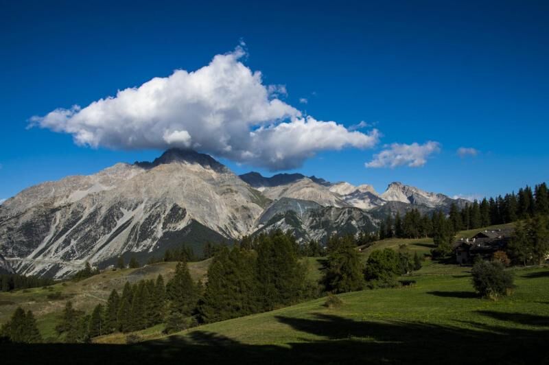
Variant of stage 2 which rwinds from the village of Rollieres to Champlas Seguin on an old connection path; from which you continue on path 619 to the village of San Sicario Alto (ski centre) and then on to the village of Solomiac. This last village was an autonomous municipality until 1928 with the hamlets of Colombieres and Autagnes. Crossing the state road you can connect to the main route in the locality of Fenils.

Variant of stage 2 which runs from the town of Rollieres to Champlas Seguin on an ancient connecting path; from which you continue on path 619 up to the village of San Sicario Alto (ski center) to continue up to the Borgata Solomiac. The latter locality constituted an autonomous municipality until 1928 with the hamlets of Colombieres and Autagnes. Crossing the state road you reconnect to the main itinerary in Fenils.
Ano
The use of trekking boots, fleece, trousers and windbreaker in technical fabric is recommended.
Nothing to report in this regard
By car: SS24 or A32 exit Oulx then direction Cesana
By train: Metropolitan Railway Service Line 3 Oulx stop then Cesana - Sestriere shuttle service
Oblíbené prohlídky v okolí
- 5.0
BARDONECCHIA Col des Acles - Passo della Mulattiera
heavyTuristika6.57 km - 5.0
CESANA T.SE To Fenils (No. 48)
světloTuristika4.29 km - 5.0
BARDONECCHIA Forte Jafferau Ring
heavyMountainbike36.8 km BARDONECCHIA Punta Colomion - Passo della Mulattiera - Pian del Colle Ring
heavyMountainbike25.1 kmSESTRIERE Assietta Road
středníMountainbike43.3 kmBARDONECCHIA Rocce della Sueur - Tour jaune de Barabbas
středníTuristika4.12 kmCESANA T.SE Val Thuras Valley
středníTuristika7.58 kmLa Via dei Saraceni (Sauze d'Oulx)
středníMountainbike33.6 kmBARDONECCHIA Punta Colomion - Puys - Beaulard Ring
středníMountainbike24.7 kmCESANA T.SE Thures - Cima Bosco
středníTuristika10.6 km
Pěší turistika a stopování


Nenechte si ujít nabídky a inspiraci pro vaši příští dovolenou
Vaše e-mailová adresa byl přidán do poštovního seznamu.