


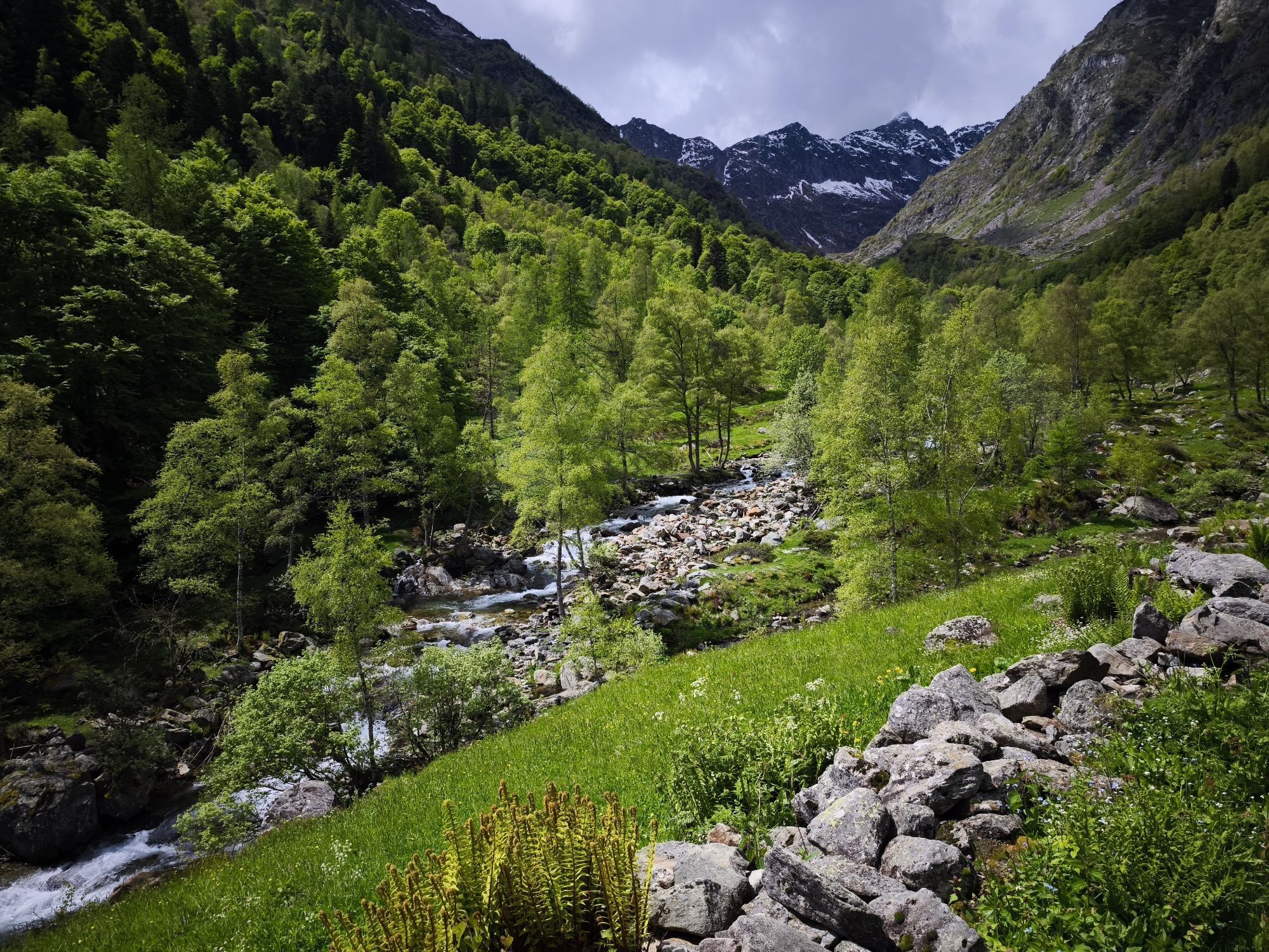
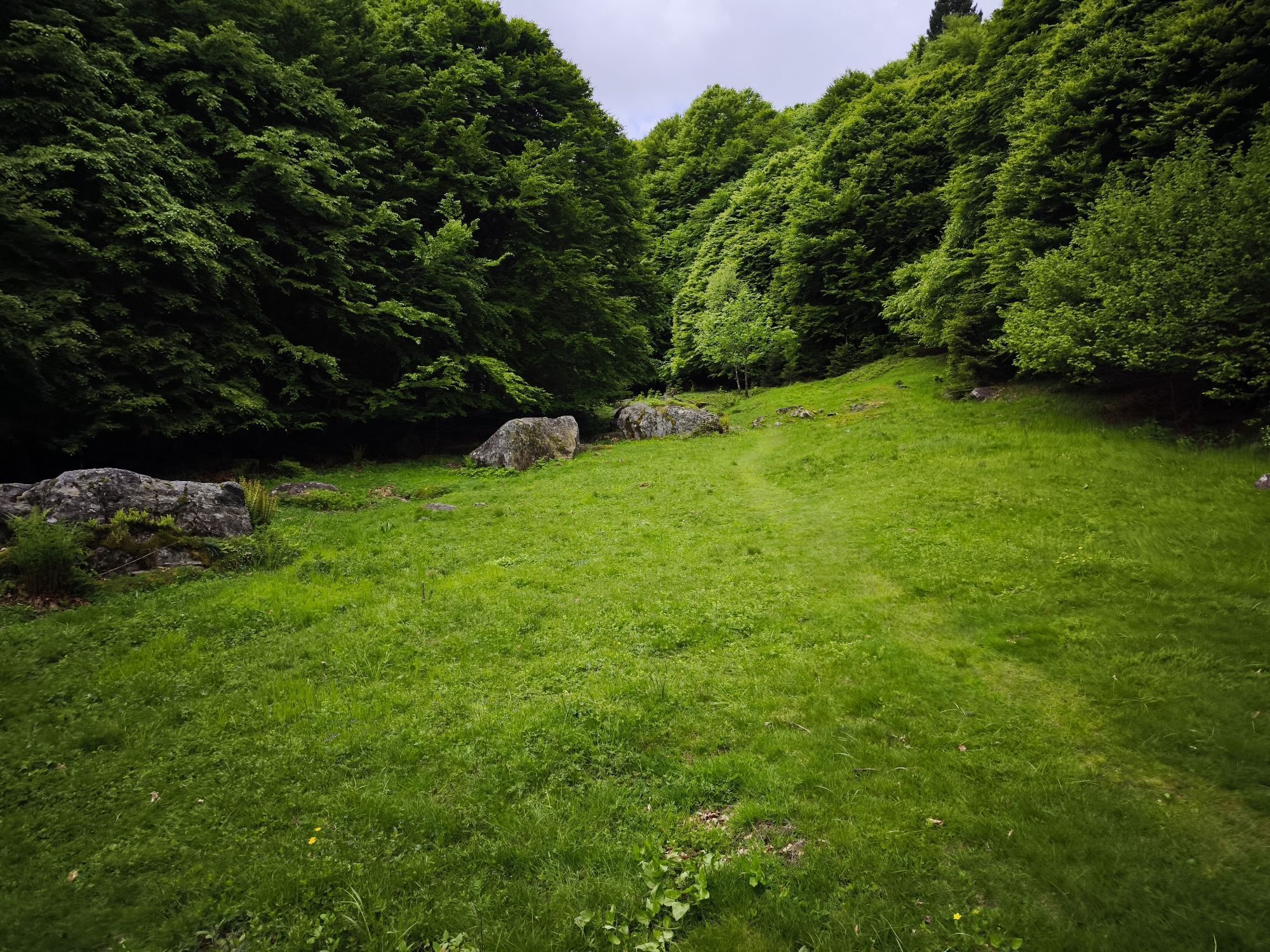
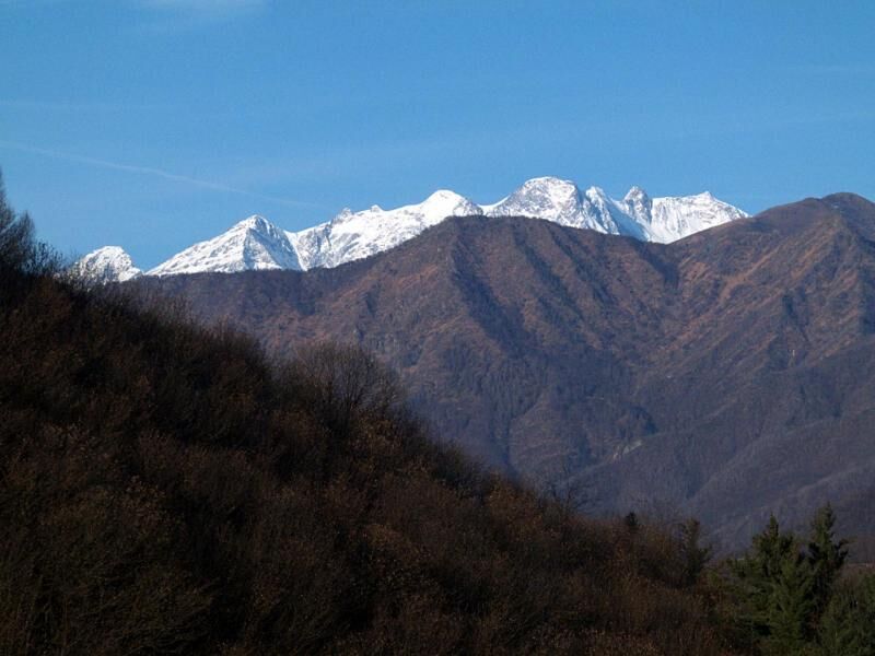
Great Crossing of Valsesia (GTV)

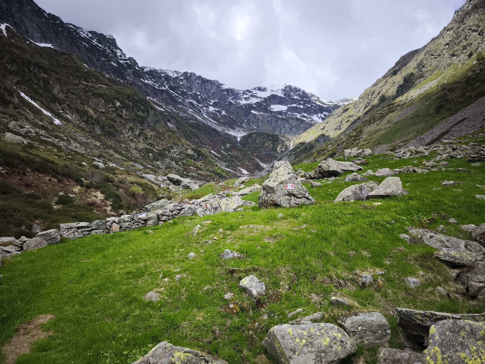
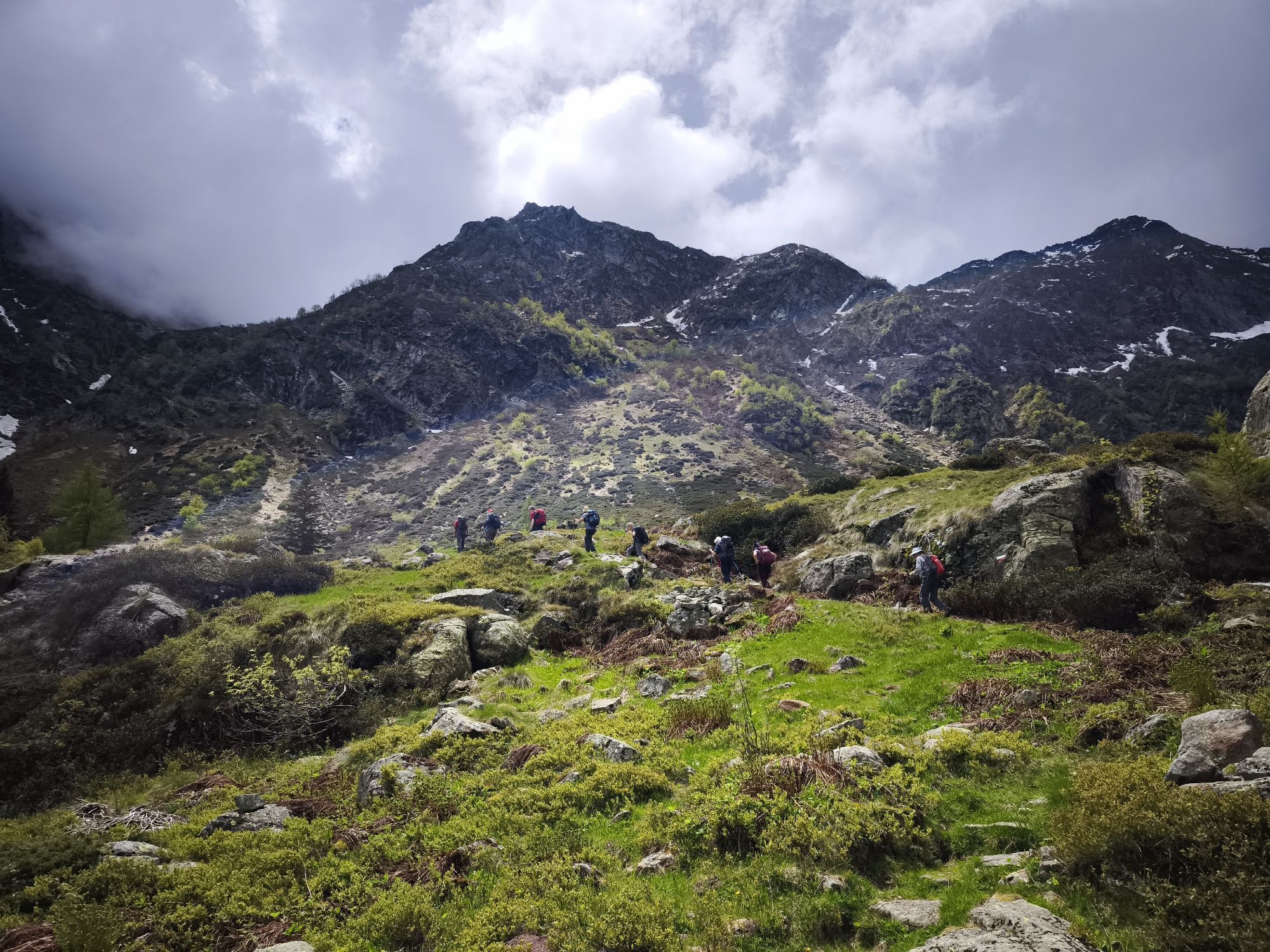
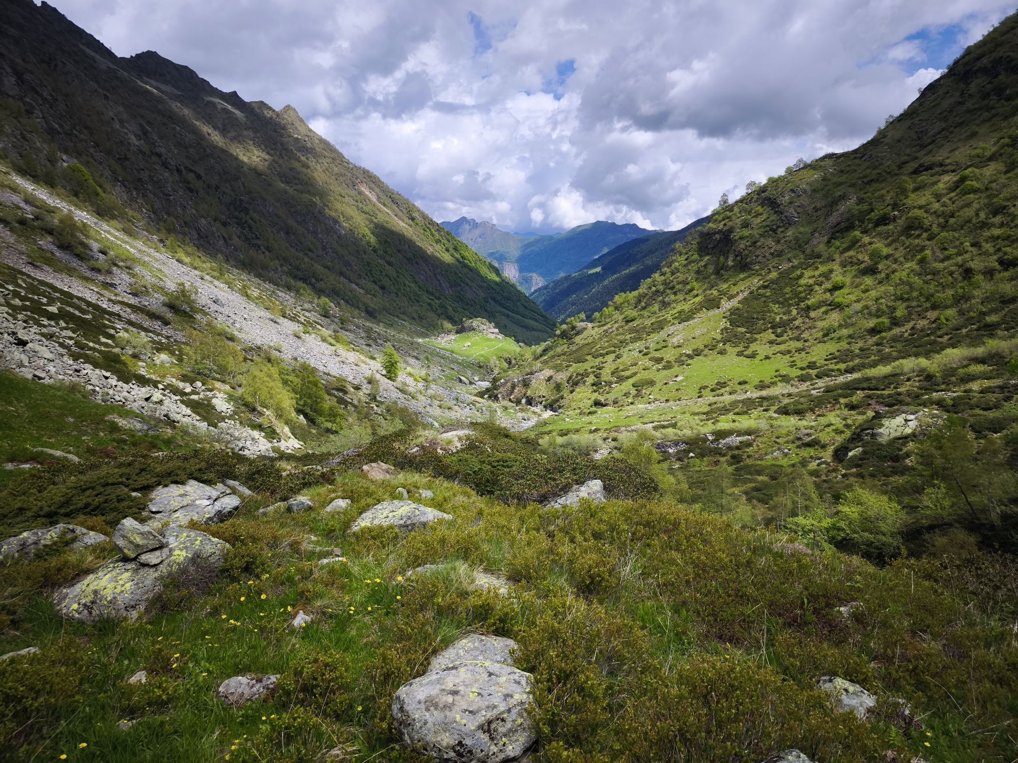
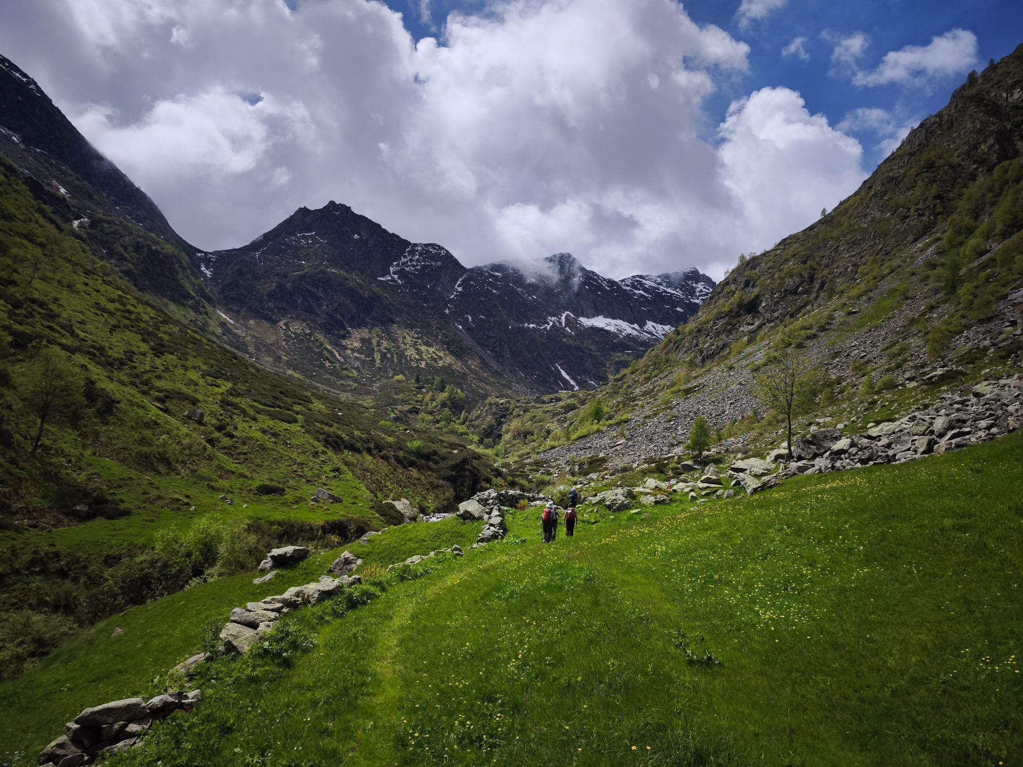
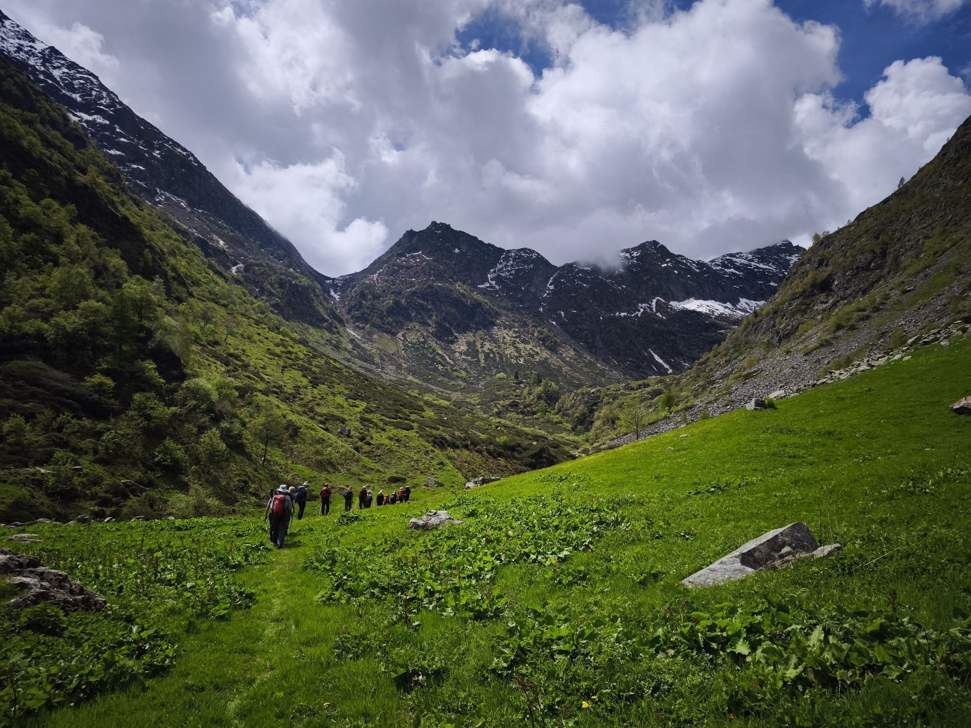


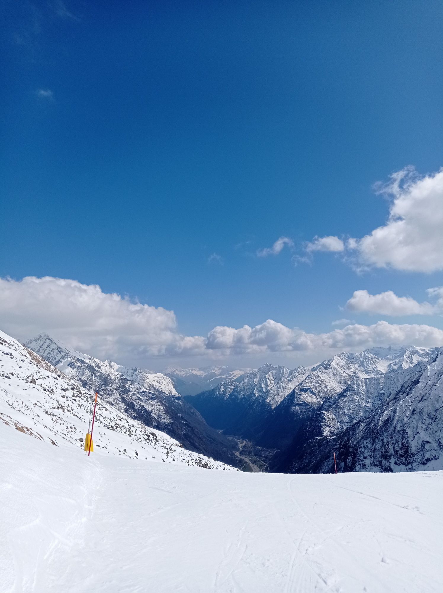
The itinerary of the Grande Traversata della Valsesia (G.T.V.) consists of 11 stages that cross the entire territory of Alta Valsesia. It starts from a high altitude path from the Bocchetta della Boscarola...
The itinerary of the Grande Traversata della Valsesia (G.T.V.) consists of 11 stages that cross the entire territory of Alta Valsesia. It starts from a high altitude path from the Bocchetta della Boscarola in the Province of Biella with connection to the GTB (Grande Traversata del Biellese) and the Sentiero Dolciniano trail of the Municipality of Scopello and arrives at the Bocchetta di Campello in the Municipality of Rimella which allows the connection with the VCO in the municipality of Valstrona (hamlet of Campello Monti) where the GTA meets.
The stages are divided as follows:
1st stage
From Alpe Mera, you can reach Alpe di Meggiana, and then the support point of Alpe Toso in Val Sorba in the municipality of Rassa.
2nd stage
From Alpe Tosi you continue through the Gronda Pass to the Alpe Salei support point.
3rd stage
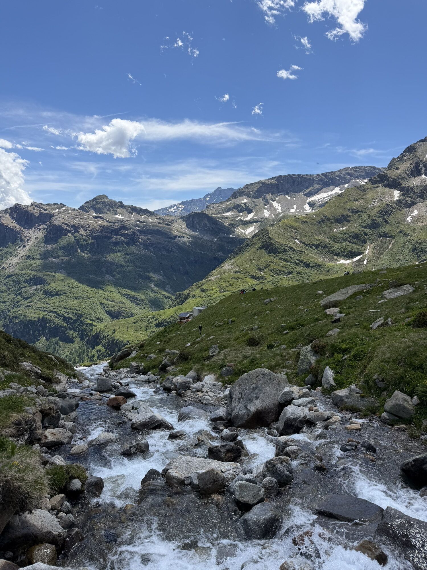
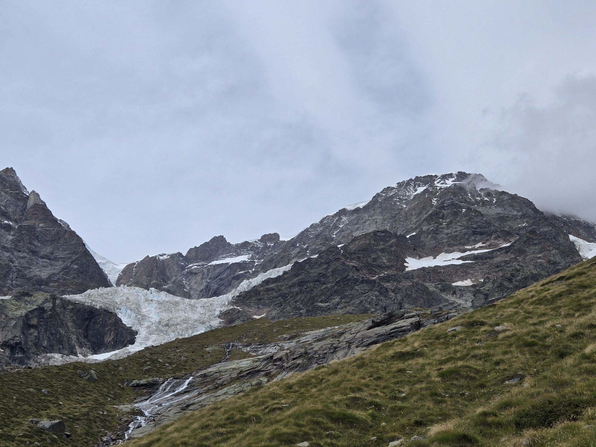
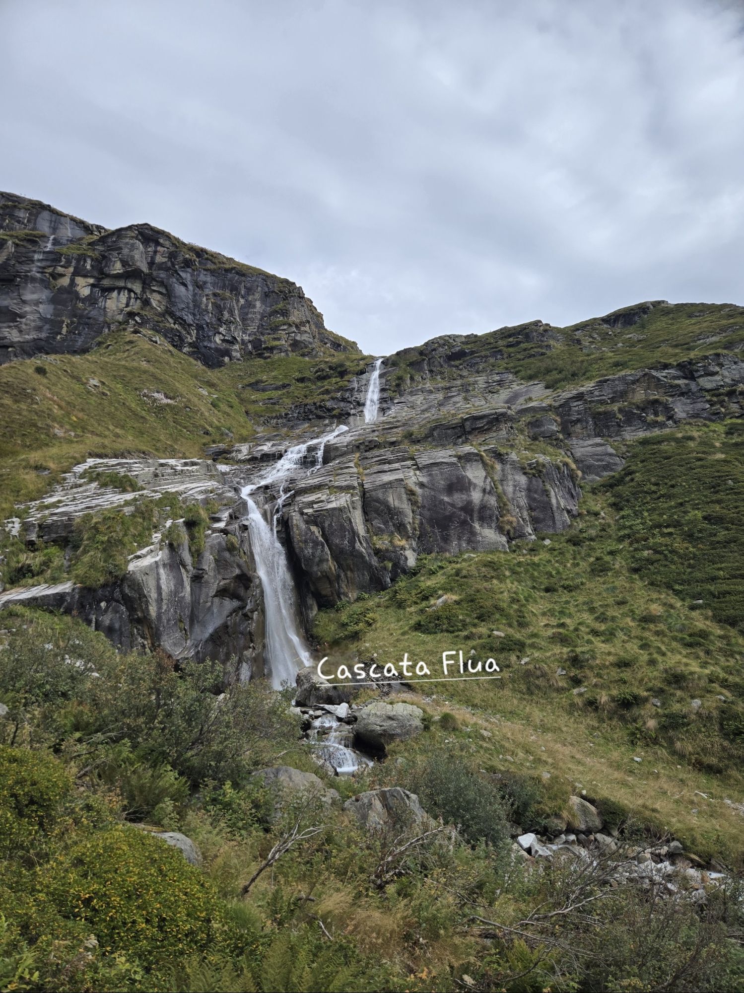
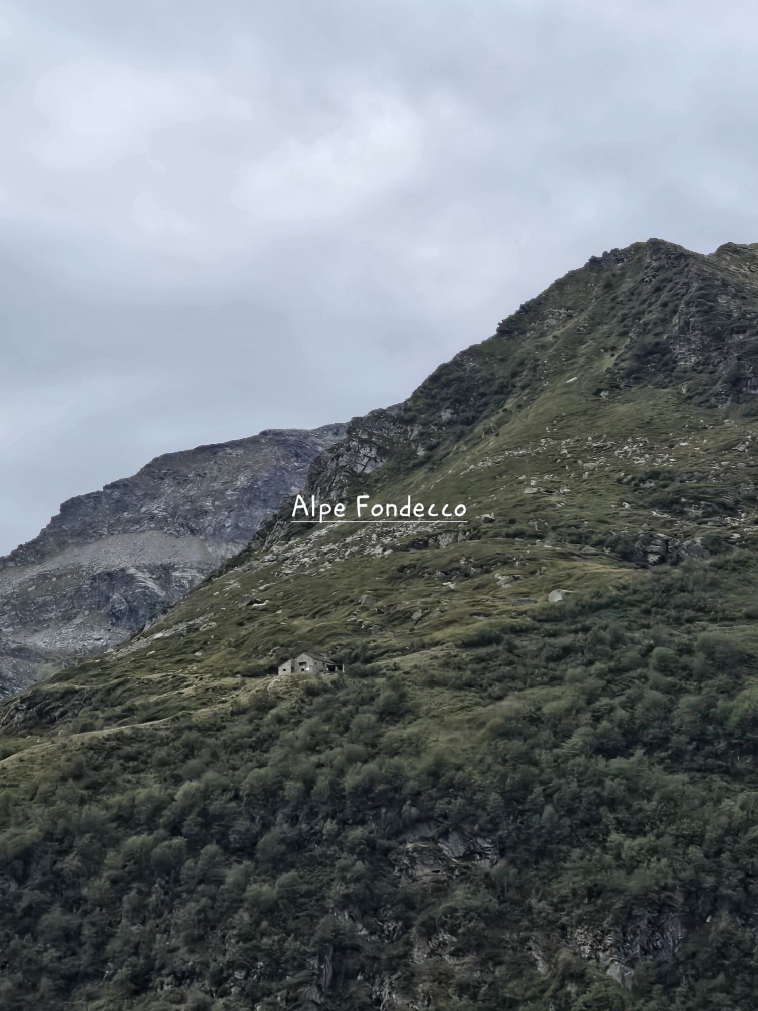
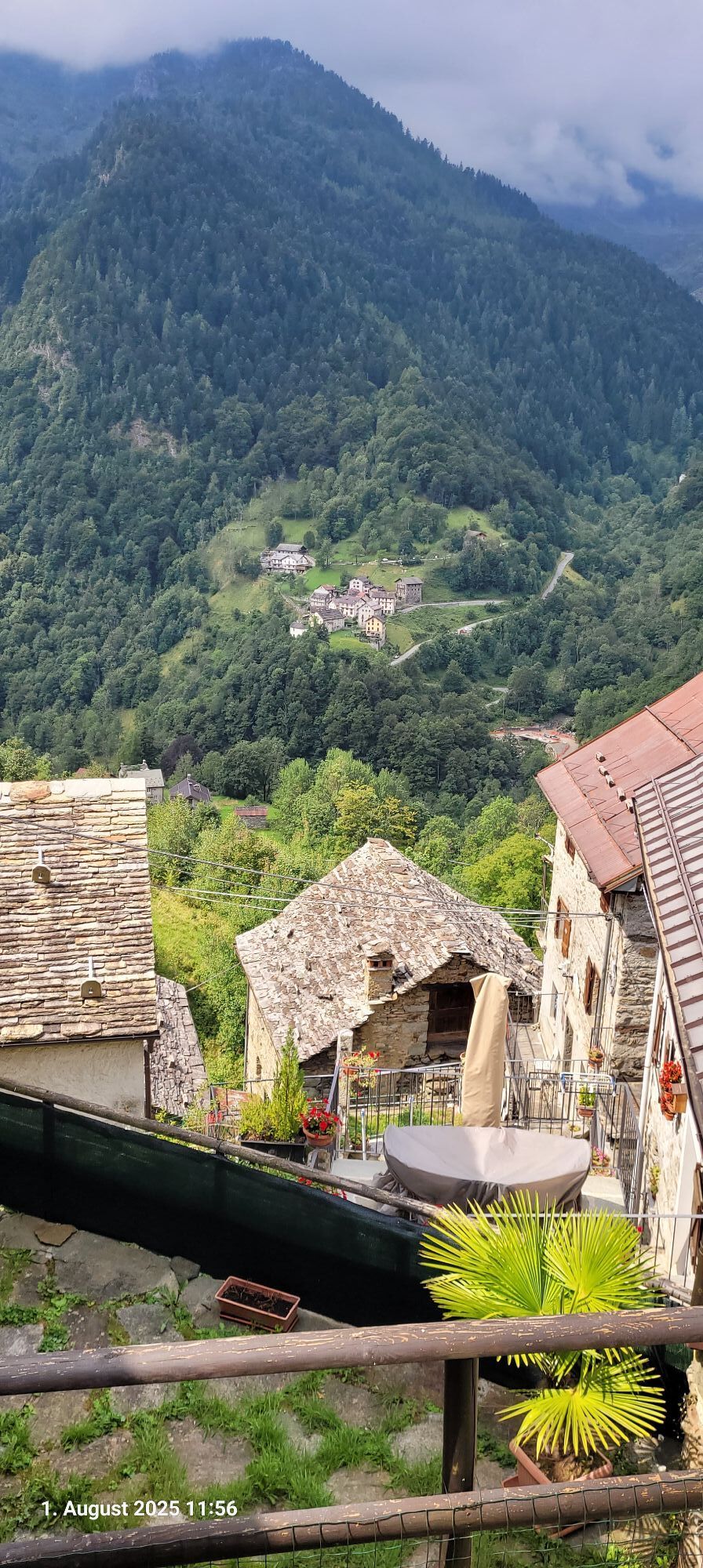
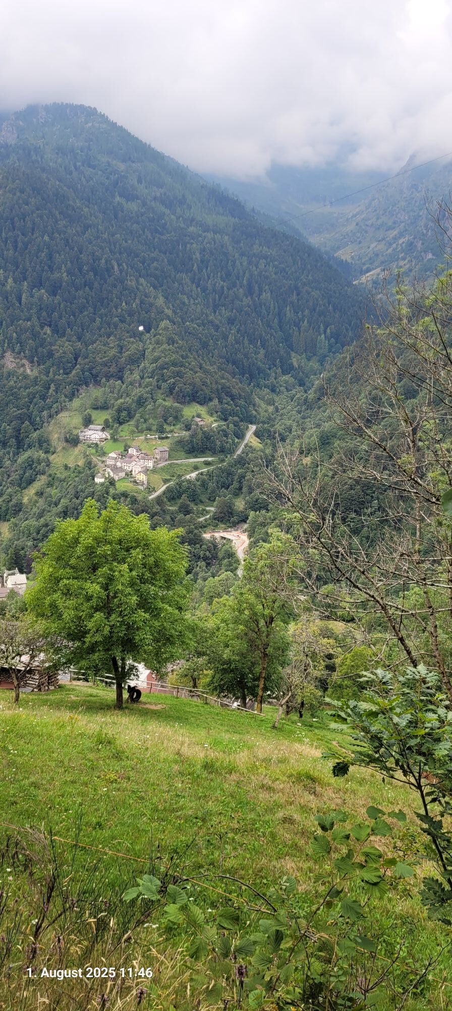
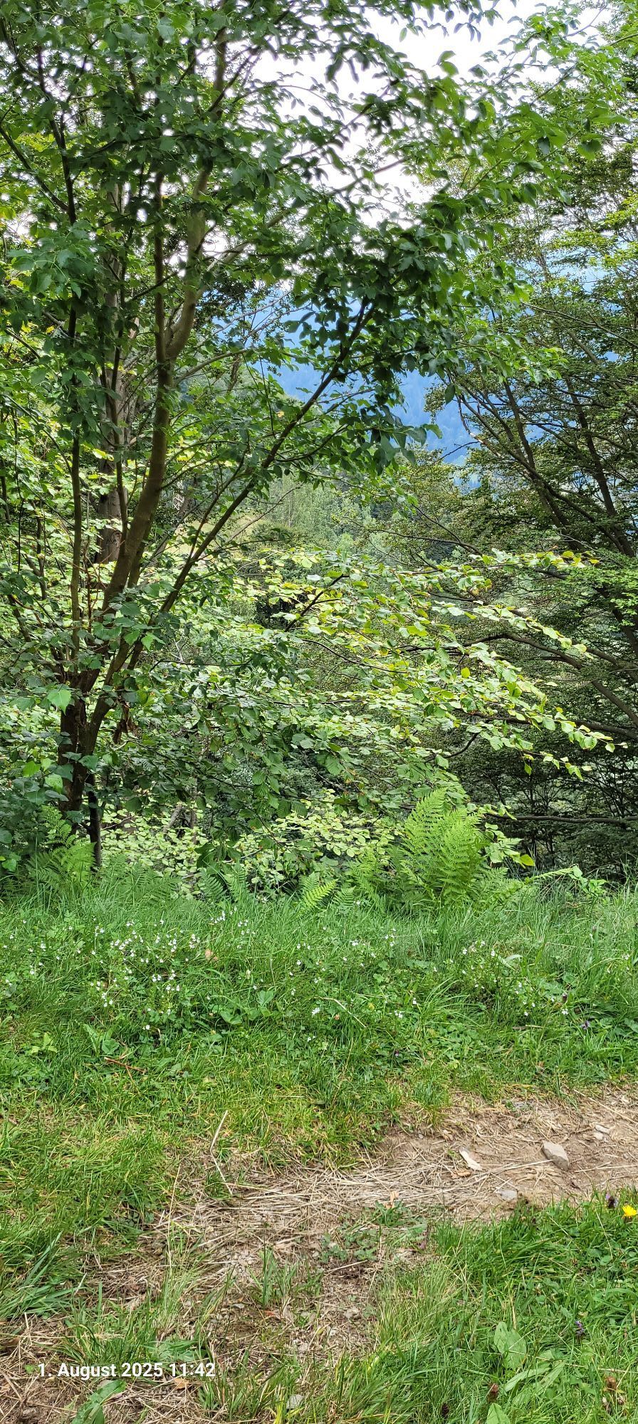
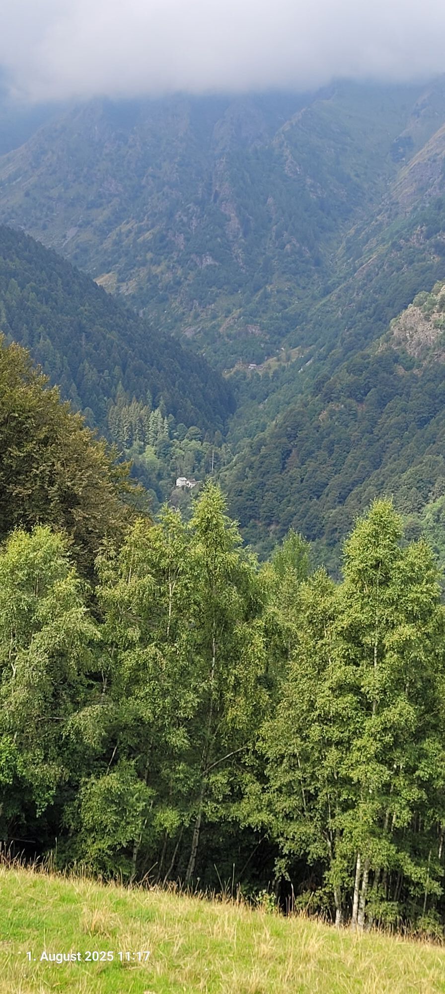
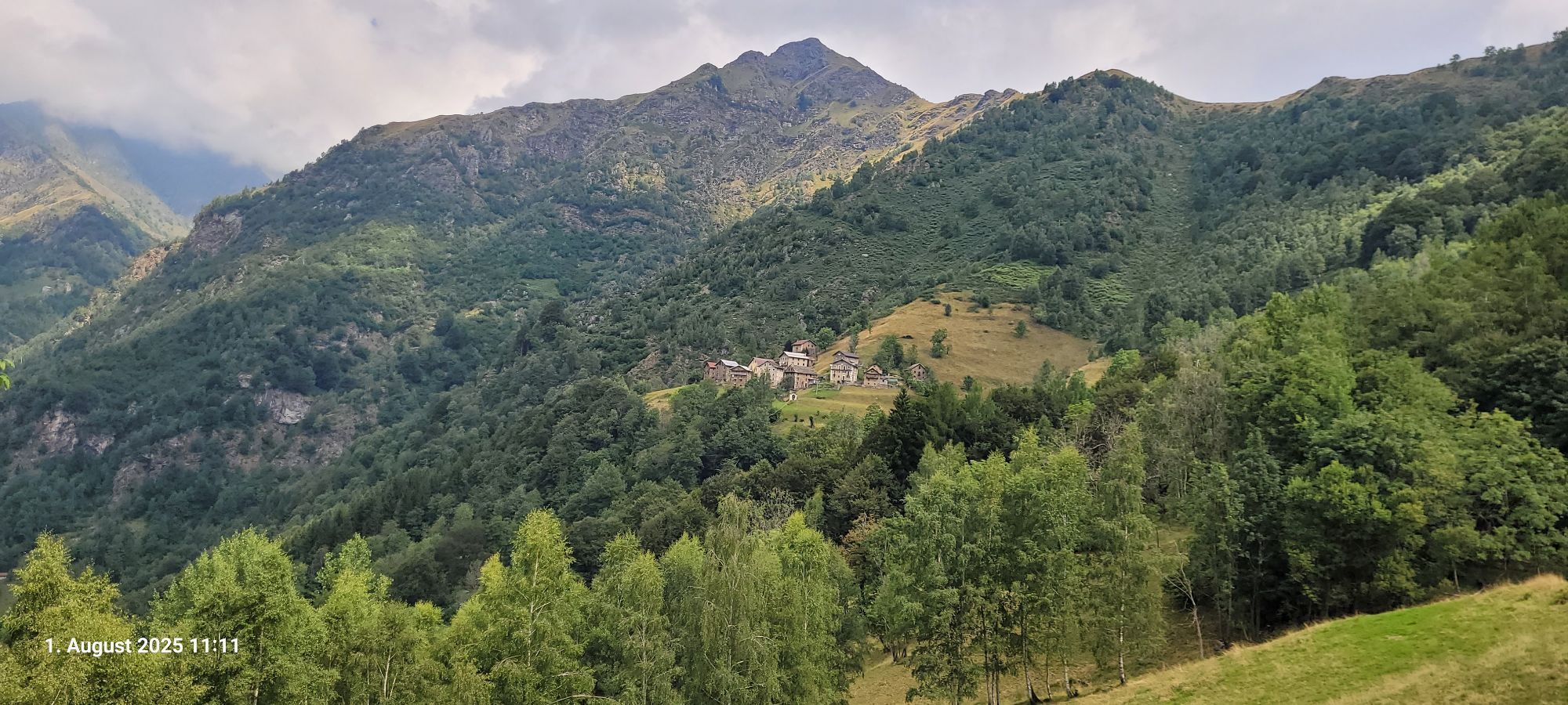
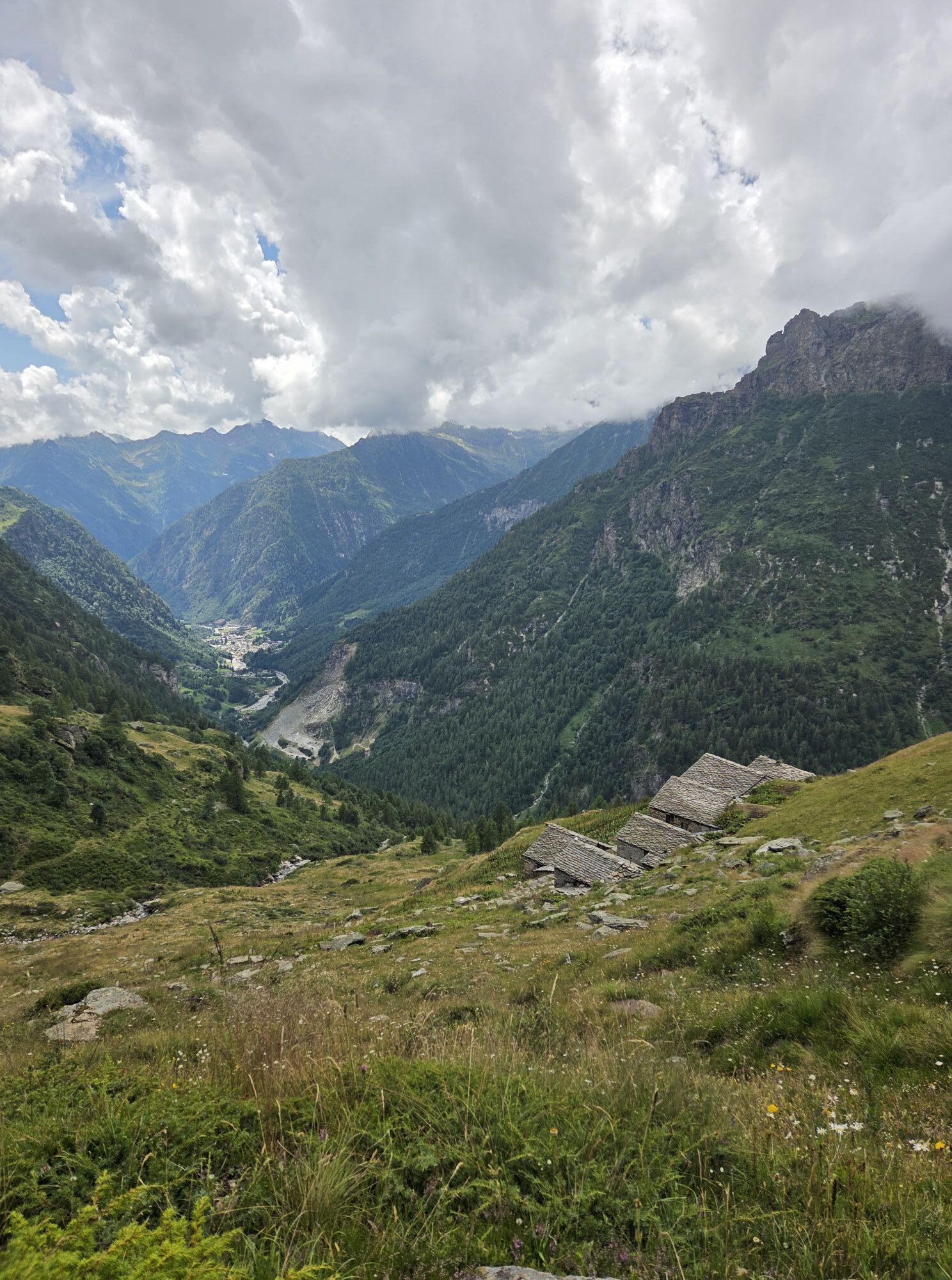
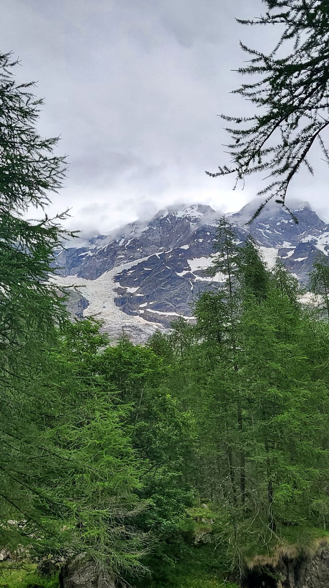
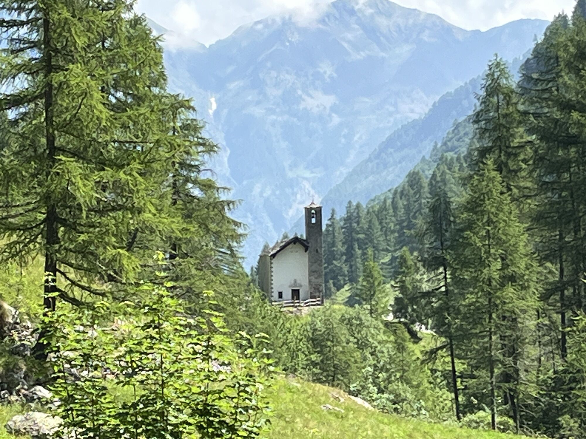
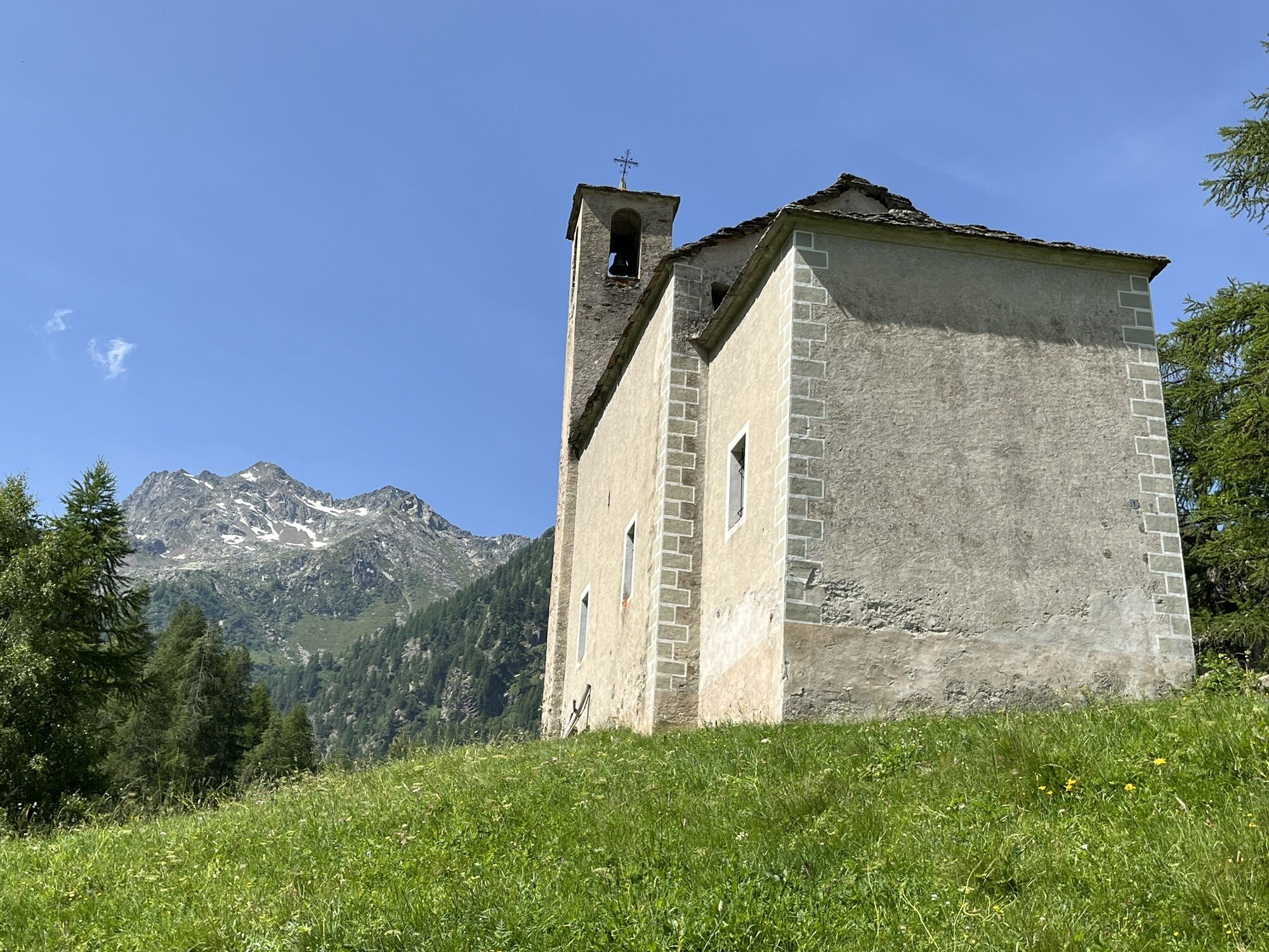
From here to the Giare lakes in Val Artogna, and Alpe Maccagno. Then you descend the Maccagno valley in Valle Vogna to Alpe Peccia where the private hut/refuge Prato della Croce is located.
4th stage
From Alpe Peccia you go to Alpe Larecchio and then reach the Ospizio Sottile Refuge.
5th stage
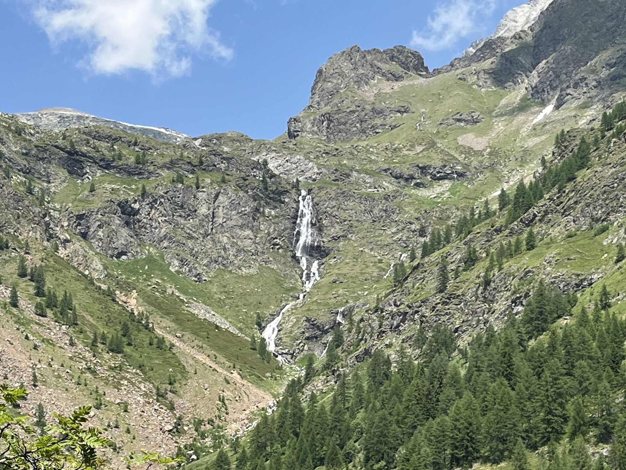
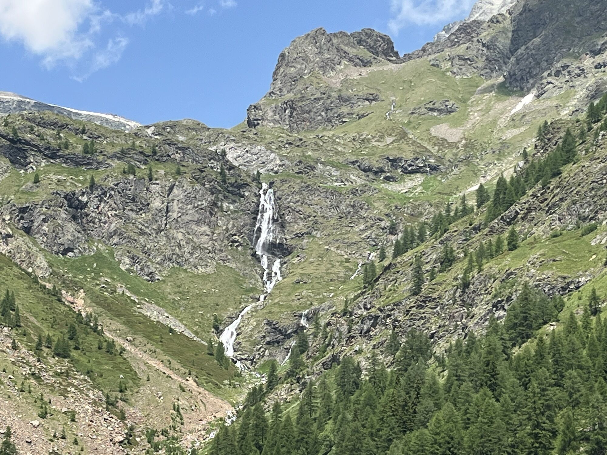
From here, a more challenging route (EEA) reaches Lago Nero and the summit of the Corno Bianco and then down to the Tailly lakes and the Ravelli Bivouac.
(Alternatively, from Alpe Peccia it is possible to reach Riva Valdobbia, Alagna and Valle Otro with an overnight stay at the Zar Senni refuge. From here you go to Alpe Pianmisura and then the Foric Pass to reconnect to the main route).
6th stage
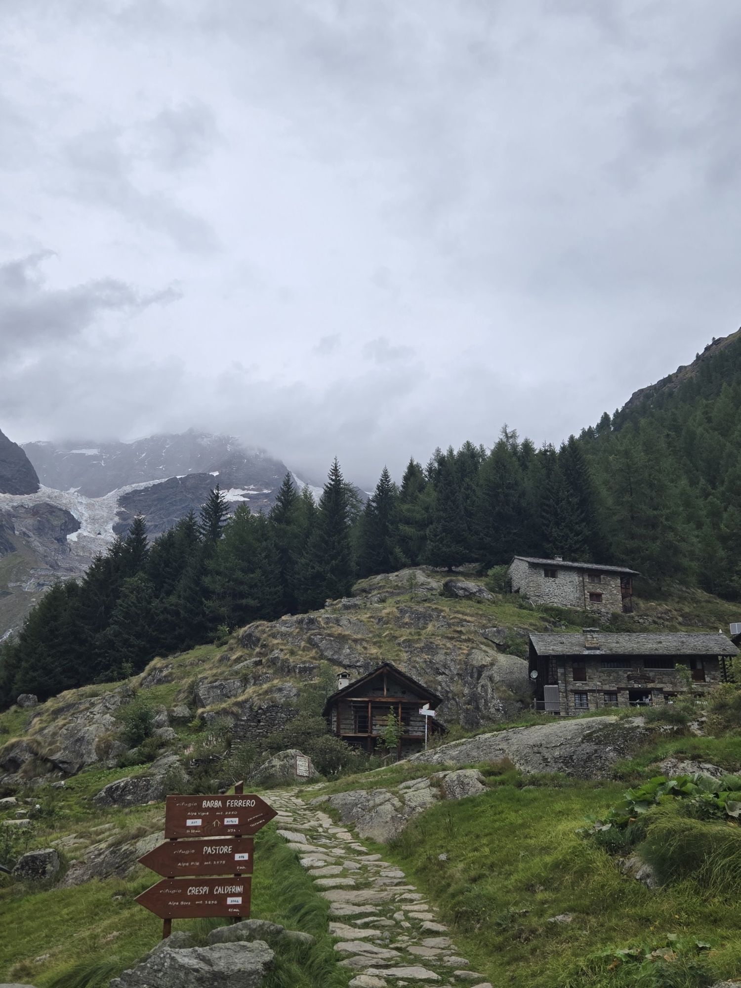
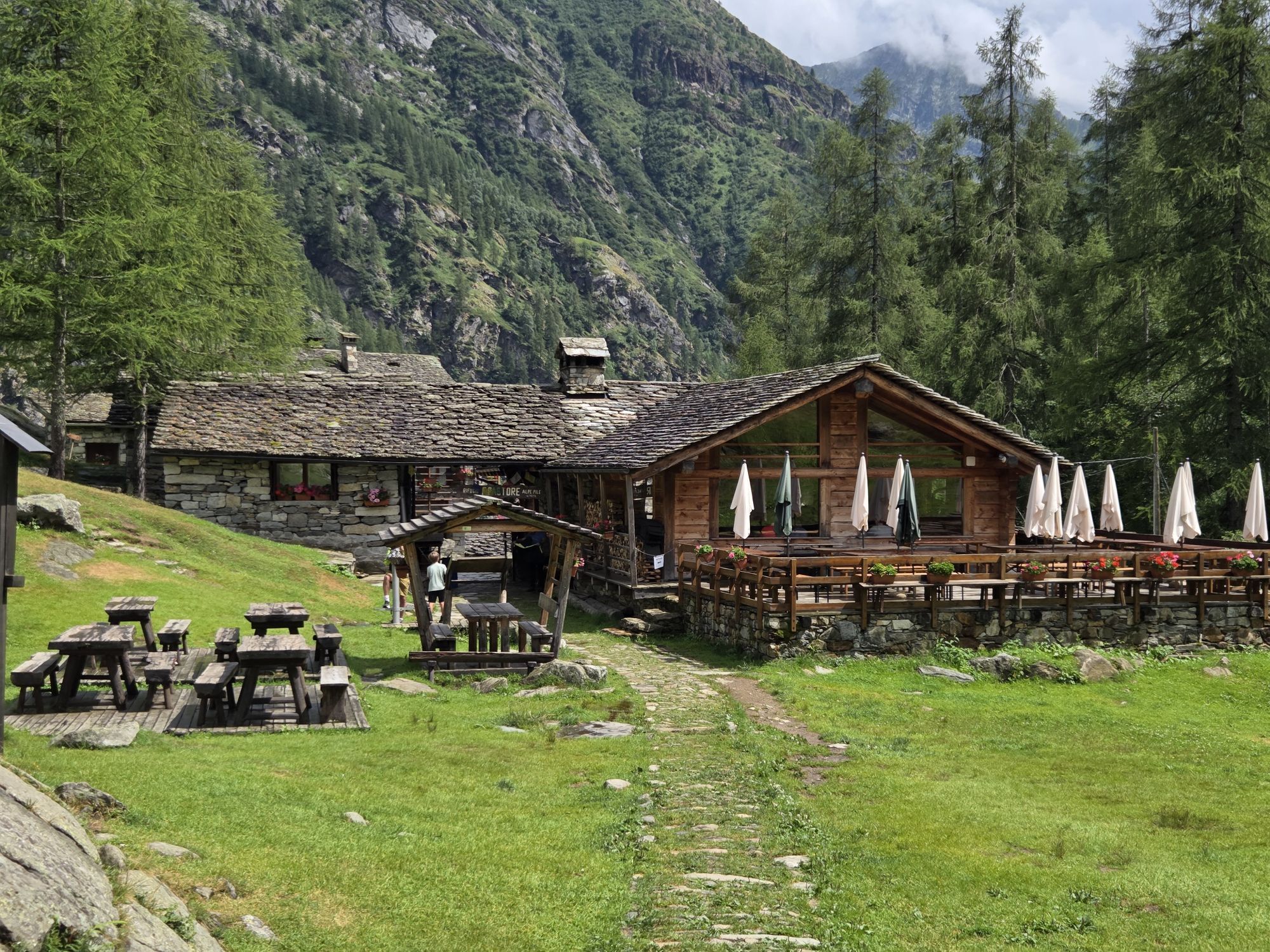
You descend along the Val d'Otro to the Alpe Pianmisura where you climb up to the Foric pass connecting to the Vallone d'Olen which then descends to the Bocchetta delle Pisse and from here to the Rifugio Pastore at Alpe Pile.
7th stage
From the Pastore Refuge you go to the Barba Ferrero Refuge and then continue towards Alpe Faller and Colle del Piglim to reach the Vall Refuge in the Municipality of Alto Setmenza.
8th stage
Short stage but with a more demanding passage between the Colle del Vall and Colle della Bottigia (EEA) to reach the Massero refuge in the Municipality of Carcoforo.
9th stage
From the refuge you reach Carcoforo and then climb up the Col d'Egua (there is an alternative at high altitude) and from here the Alpe Baranca Refuge in the Municipality of Fobello along the GTA Great Crossing of the Alps (Grande Traversata delle Alpi)
10th stage
From Alpe Baranca you go to Alpe Res di Fobello to reach the Obru Huusch Refuge in the hamlet of Rimella Roncaccio Superiore.
11th stage
From the Obru Huusch Refuge to the Bocchetta di Campello and Val Strona

Ano
Webové kamery z prohlídky
-
Punta Jolanda
-
Pianalunga
-
Punta Indren
-
Punta Indren
-
Punta Indren
-
Punta Indren
-
Punta Indren
-
Punta Indren
-
Punta Indren
-
Gabiet
-
Seggiovia Cimalegna
-
Seggiovia Cimalegna
-
Seggiovia Cimalegna
-
Seggiovia Cimalegna
-
Pianalunga
-
Pianalunga
-
Alagna - Frazione Bonda
-
Alagna - Frazione Bonda
-
Piste Cimelagna und Bodwitch
-
Piste Cimelagna und Bodwitch
-
Piste Cimelagna und Bodwitch
-
Piste Cimelagna und Bodwitch
-
Salati Pass
-
Gressoney - La Trinité
-
Issime Capoluogo
-
Seggiovia Cimalegna
-
Seggiovia Cimalegna
Oblíbené prohlídky v okolí
-
5.0
Monte Rosa - Signalkuppe
středníVysokohorská turistika 12.7 km -
Gnifetti hutte - pyramide vincent
světloTuristika 4.08 km -
5.0
Alpenzù Grande
středníTuristika 1.06 km -
5.0
Ospizio Sottile
středníTuristika 4.77 km -
4.5
Springs of the Lys
středníTuristika 3.38 km -
Punta Indren - Rifugio Città di Mantova - Rifugio Gnifetti
heavyTuristika 2.25 km -
Monterosa Walser Waeg - 15 Km route
středníTrailrunning 15.1 km -
5.0
High Light/Hochliecht
středníTuristika 6.44 km -
5.0
Testa Grigia
heavyTuristika 7.98 km -
Sella hut - Punta Gnifetti (Margarita) - Gnifetti hut
heavyVysokohorská turistika 14.5 km
Pěší turistika a stopování


Nenechte si ujít nabídky a inspiraci pro vaši příští dovolenou
Vaše e-mailová adresa byl přidán do poštovního seznamu.