







Grande Traversata della Collina (GTC) : Stage 1 Equipped area "Le Vallere" - Basilica di Superga
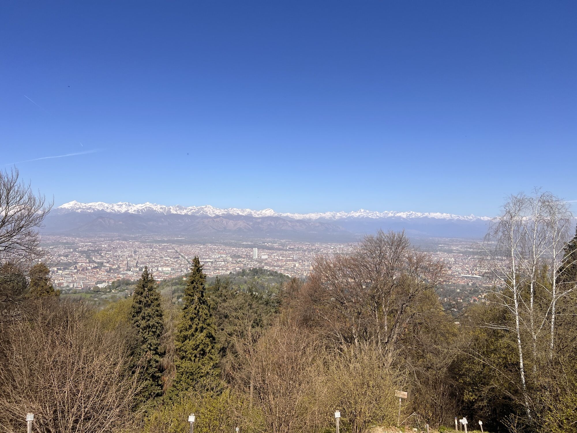
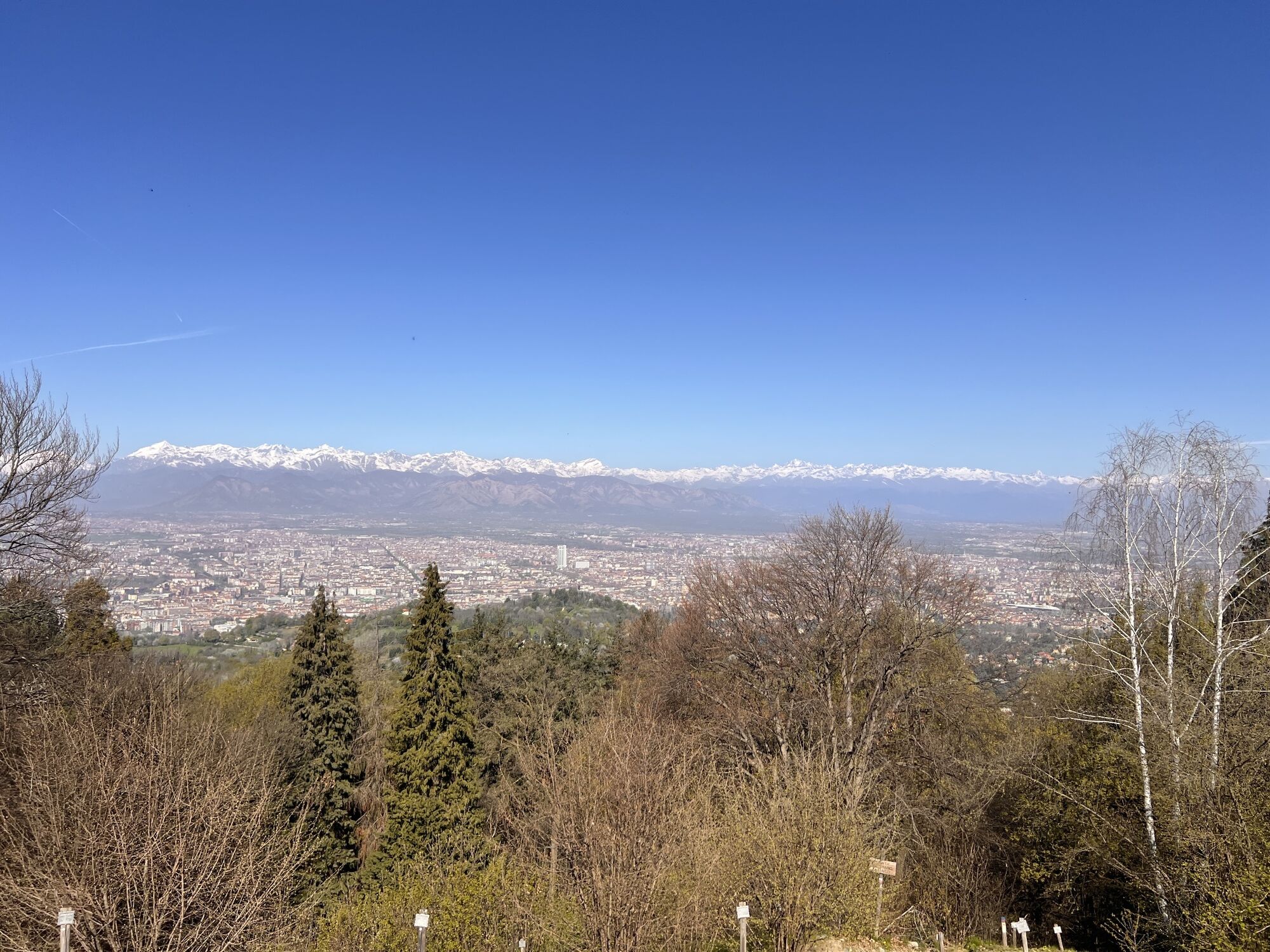
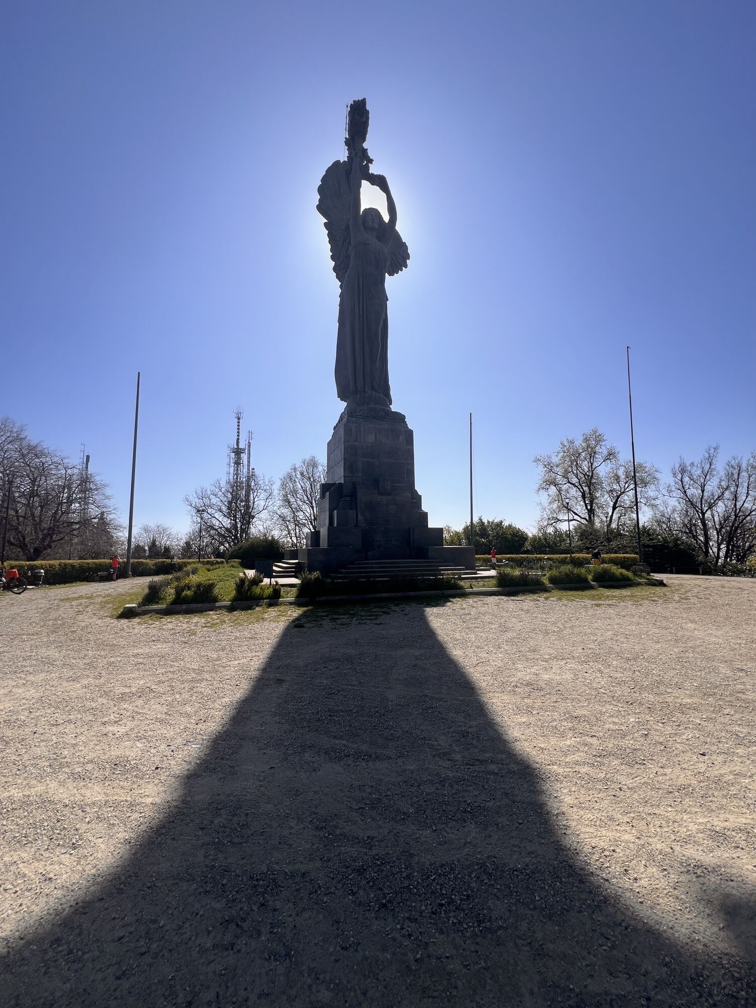
Beyond the entrance gate of the Vallere rest area (C.so Trieste 98 Moncalieri) you arrive to the bank of the Po, which you follow to the right as far as Corso Trieste. Cross the bridge, passing under the...
Beyond the entrance gate of the Vallere rest area (C.so Trieste 98 Moncalieri) you arrive to the bank of the Po, which you follow to the right as far as Corso Trieste. Cross the bridge, passing under the Porta Navile arch in piazza Caduti per la Libert. Follow the entire historic centre of Moncalieri, to Piazza Baden Baden, from here descend for a short section of Via Silvio Pellico. Turn left onto Via Grimaldi reaching the start of Viale della Rimembranza. Follow the road uphill passing the junction with Strada Castelvecchio and arriving at the small Church of San Sebastiano. From here, turn right, for the ancient Strada San Sebastiano which leads to Strada Castelvecchio. Follow the paved road passing the crossroads with Strada dei Manzi and reaching Castelvecchio.The route continues on Strada Castelvecchio, arriving downhill to civic number 111 placed to the left on a small brick pillar. Here the way mark of the GTC, placed on a concrete pole, indicates the entrance to a recessed access to be followed for a difficult stretch uphill: it is the ancient Strada Canonia. Later, the trail becomes flat and continues halfway up the slope; at the end, close to a rio turn right downhill (way mark GTC on a tree) and reach Strada San Michele. Due to recleaning works on the wood by residents, it is not always possible to take Strada Canonia. Alternatively, you can continue to the end of Strada Castelvecchio and turn left in Strada San Michele to reach the junction of the trail, constituting the original section of the route.Climbing to the left on Strada San Michele, on several hairpin bends you reach the Chapel of the Madonna della Neve of Rocciamelone. From here, to reach Colle della Maddalena follow the trails reactivated by CAI of Moncalieri, number 2 and number 1. From the chapel, travel a small dirt road uphill for approximately 500 metres as far as a crossroads, from where you continue to the right on a paved section where there are several recently built houses. The paved road soon comes to an end and you continue in the wood with a succession of ups and downs. At the crossroads, follow the GTC waymark, overcome the Rio Cenasco and the Rio Alberoni arriving at a meadow from which you follow trail number 1 to Strada Maddalena close to a lay-by; descend along the paved road fora few metres crossing the road and resume the uphill trail.You arrive to the Chapel della Maddalena, and from here to Faro della Vittoria. Departing from the orientation map under the Faro della Vittoria, descend a few steps keeping to the right close to the fence; go past the crossroads with Via Castagnevizza and Viale Ortigara continuing downhill. At the crossroads with Via Col di Lana, continue downhill and right on a gravel road. Past a small picnic area and a few bends downhill, take a slightly uphill forest trail to the right, meeting after a few metres a flow of water coming from a metal pipe. The trail, bordered to the right by a barbed wire fence, widens and reaches the paved road Maddalena Eremo. Here turn right and after a few metres, close to a narrow bend, from the other side of the road take a cart track downhill at Strada Bric della Croce (non-accessible military zone).Past a gate on the left, reach a paved road close to number 35 where you need to turn right; close to a bend on the left, at some villas, there is a wide view of the plain below. When you reach a first bend abandon the paved road, which continues downhill, and follow a cart track that goes into the wood. The road leads to another cart track from the valley bottom, turn left here. Leave out a branch on the left going uphill, continuing on level ground, and a branch on the right. You reach the boundary wall of the Hermitage of Camaldolesi. Turn right, continuing to skirt the wall, reach the Margaria farm. Beyond the farm, you reach the road that connects Pecetto to the Pino-Eremo road; follow it, turning right in the direction of Pecetto to the first bend at the junction for Tetti Rosero. You reach the hamlet for Strada Rio Martello.Pass the chapel of San Michele on the left and continue as far as the sign of Via Rosero that you take on the left (after having previously left Strada Rosero off to the right). At the first junction, continue to the right along a dirt cart track reaching, at a meadow, a panoramic point. Continue uphill to the Eremo-Pino provincial road where you turn right in the direction of Pino. Follow the paved road for approx. 200 metres and abandon it close to a large meadow downhill on the right; descend on the trail in the direction of an isolated tree and turn left into the wood following the del Gallo trail. On the left is a large boulder with a terracotta rooster on it; continue, meeting the first houses on the road downhill and at civic number 76 int. 1/20 turn left passinga pedestrian staircase. Continue for 150 m along Via Villa Lovera, meeting Strada San Felice, which is followed to the left slightly downhill until you turn left in Via Verdina that should be followed reaching Strada Pietra del Gallo. You reach the state road for Turin, turning right in the direction of the centre of Pino; turn right down Via Molina following it until it joins the central Via Roma.Continue in the direction of Chieri reaching a brick arch on the left, go past it by taking Via Maria Cristina which leads to the parish Church of SS Annunziata, panoramic point with orientation map. From the parish church of Pino Torinese follow Via Maria Cristina uphill, surpassing Via Camandona, to reach the cemetery. Cross the square heading towards the administrative headquarters of the Ferrero confectionery industry, which you go past descending on the left, to a square where the paved road ends. Parco della Collina di Superga begins here. Enter the wood and following the trail you reach a four-road junction where you need to turn left downhill to reach the Pino-Superga panoramic route, which you travel for approx. 400 metres. Take a cart track to the left which goes into the wood slightly uphill; at the junction, head north following the branch to the left and surpassing Bric Brunassa. Continuing East, the trail narrows and past a high tension tower downhill you reach the paved road which should be followed for about 500 metres to a square. From here, on the left, a cart track leads slightly uphill into the wood; at a three-junction road take the road lower down to the left. At a subsequent junction, at a big oak tree, continue in the direction followed, ignoring the trail on the left. Come to a junction close to a sign of the Sentiero degli Alberi, climb to the right on a steep section that leads back to the paved road where the Sentiero degli Alberi begins. Follow the Panoramic road for approx. 600 metres in the direction of Superga arriving close to a casa cantoniere from where an uphill cart track branches off to the left. The paved road is soon reached again, close to the junction for Baldissero; from the square take the trail to the left that goes into an oak forest with fern undergrowth. On the right, you meet an isolated house with green metal fencing then a stone wall that acts as an embankment to a rio; from here, climb up the panoramic road at 3 houses in line. Reach the junction for Baldissero and from here, next to a trattoria, a lane leads to the Basilica of Superga.


Oblíbené prohlídky v okolí
MONCALIERI - Biking on the water: Le Vallere and Valentino Park
světloJízda na kole 17.0 kmCAMBIAN toward Riva presso Chieri
světloJízda na kole 22.8 kmANDEZENO - Panoramic loop towards Pino Torinese
středníJízda na kole 35.0 kmTURIN - The tour of the Turin hillside on the "scenic road"
středníSilniční kolo 36.7 kmGran Gravel Tour in the Oltre Collina Torinese in 4 stages
heavyCyklistika na velkou vzdálenost 230.6 kmCHIERI - Ring in the surroundings
středníJízda na kole 24.4 kmCycling in the round, in the Stupinigi Nature Park
světloCyklistika na velkou vzdálenost 14.9 kmCHIERI - Ring toward Pavarolo, Montaldo T.se and Andezeno
středníJízda na kole 32.9 kmCycling in the Nature of Stupinigi
Jízda na kole 6.73 kmHow to get to Stupinigi Nature Park
Turistika 2.22 km
Pěší turistika a stopování


Nenechte si ujít nabídky a inspiraci pro vaši příští dovolenou
Vaše e-mailová adresa byl přidán do poštovního seznamu.





