


The Plaisentif Trail (Pragelatesi alpine pastures, slope to the indritto)


Starting from Pattemouche, one can reach Chezal by following two variants of equivalent time (via Borgata Sestriere or via Plan-Duc). Continue flat on the mule track that leads to Rio Combeiraut, follow...
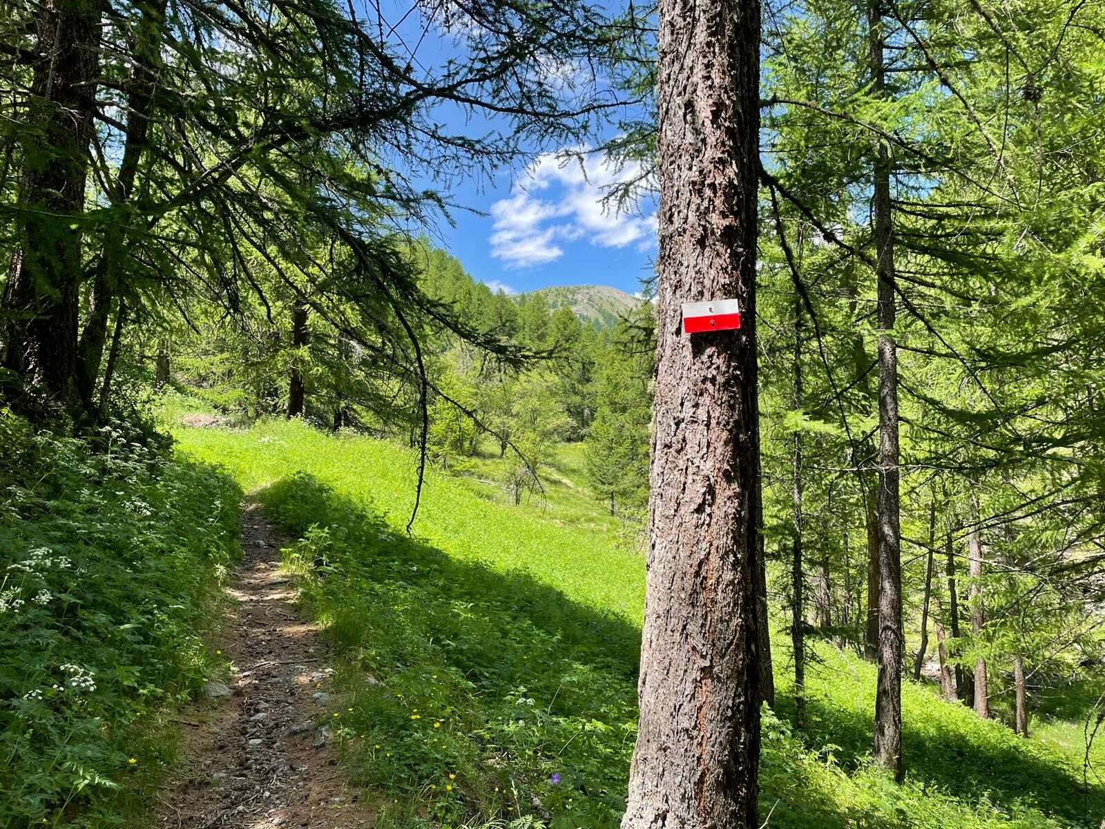
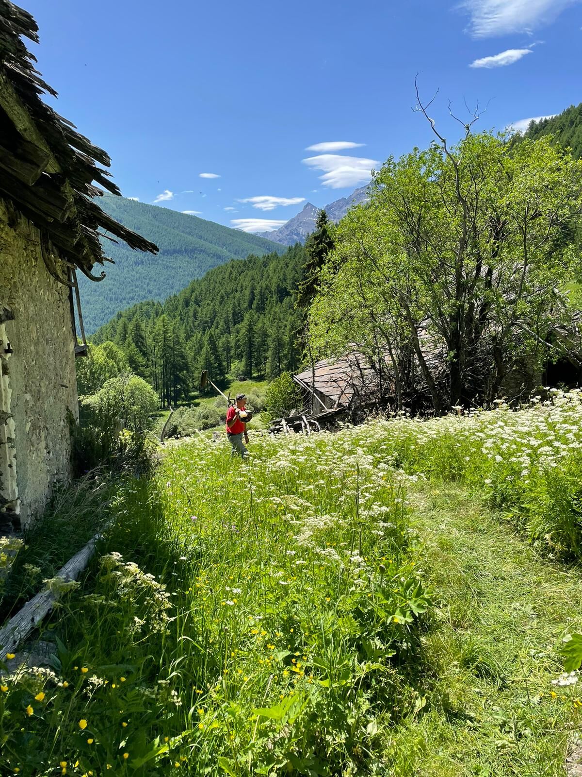
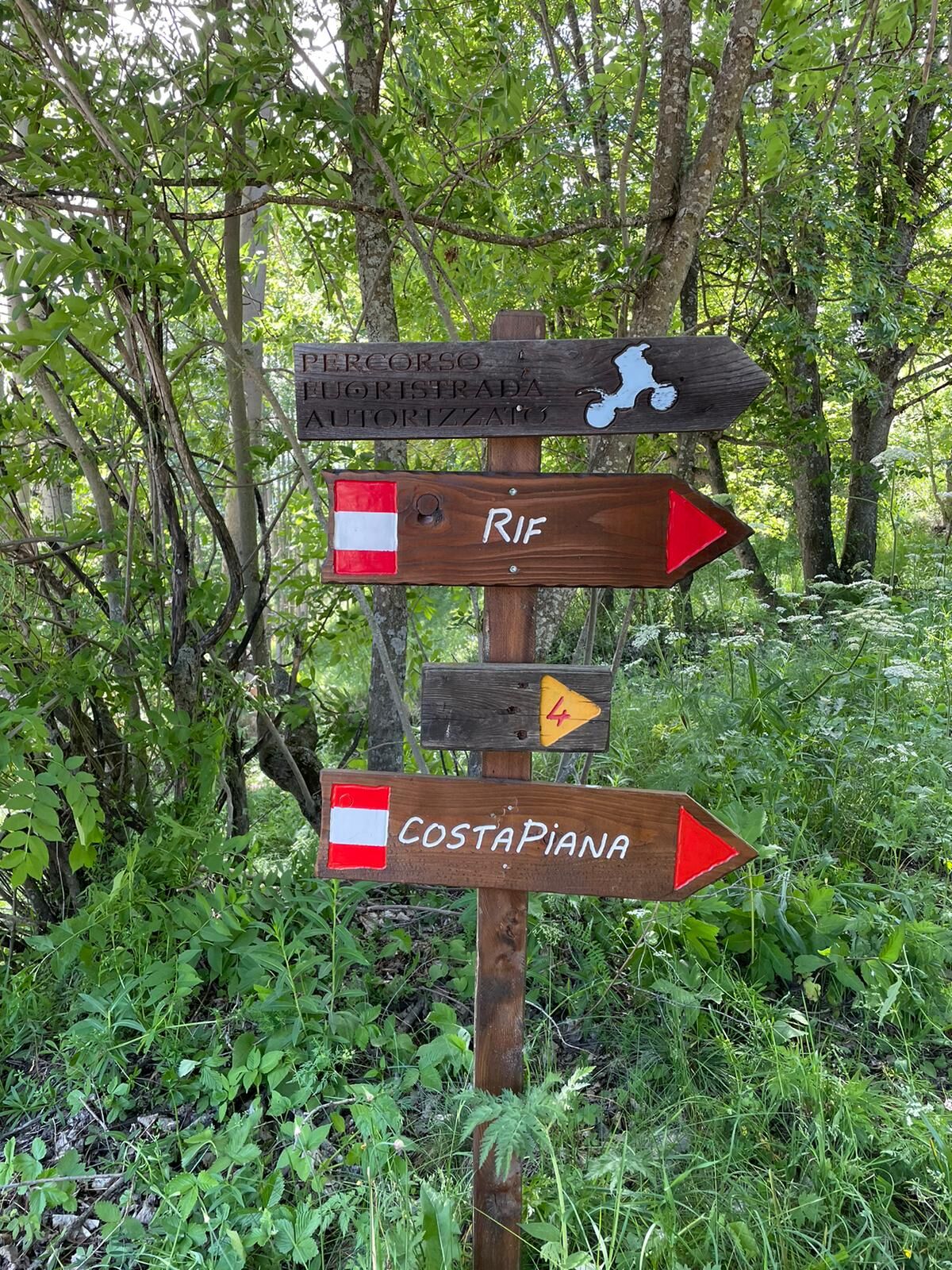
Starting from Pattemouche, one can reach Chezal by following two variants of equivalent time (via Borgata Sestriere or via Plan-Duc). Continue flat on the mule track that leads to Rio Combeiraut, follow the dirt road that descends from Alpe Bruns to Villardamond; here you meet the bakery of the hamlet and shortly after, on the left, take Via Col Bourget, paved with sanpietrini , to the end where you meet the last fountain and the directional sign for Allevé. The trail ends just before arriving in Allevé, where there is a small access bridge. Enter the hamlet, passing the Locanda Allevé and then the hamlet's renovated bakery. Continue straight to the Cabot fountain and at the fork, proceed right to Rif, an uninhabited and ruined hamlet, crossing wetlands. Continue on the level, crossing the ruins and taking care not to descend towards the valley (path leading to Rivets) or turn left at the sign indicating Costa Piana Pass; cross the Rio Pomerol on a small bridge and then a path leads to the dirt road of the Giarasson pasture. Continue until you meet the mule track coming down from Col Blegier and reach first Grand Puy and then, passing a small pass (Boufuvent locality), at Faussimagna. Finally, take the trail down to Souchères Basses.
Wanting to close in a loop, you can cross the Chisone stream and go up to Pattemouche on the orographic right or stay on the orographic left and return from the trail that reaches the Gofree Tourist Village, via Roma, via Albergian, Strada Reale Vecchia, etc...but it's still a long way!
Support technical description by Beatrice Griot (nature guide).

The start proposes two variants of equivalent time:
Variant A: Starting from Pattemouche, you take the mule track of the ski slopes towards Orsiera and Borgata Sestriere; after a few hairpin bends and a false flat, you descend to the right and cross the Chisonetto stream. You take the other side, following the S.P. 23 del Sestriere for a short distance, cross it and go to Chezal.
Variant B: Starting from Plan, go up to the right along a path that reaches Duc; cross S.P. 23 del Sestriere and take the path back to Chezal.
Ano
Hiking boots and poles are recommended because wet areas are encountered.
It is a rather long walk, but without difficulty. For wetlands, especially in spring, it is advisable to have appropriate footwear.
We recommend:
- Contact mountain guides and/or nature guides;
- Consult weather reports and free APPs;
- Do not undertake the hike alone or inform a trusted person of the route you intend to take;
- Remember that the hiking times given for the various itineraries are average and indicative and may vary considerably depending on weather conditions and your abilities; the variability of environmental conditions may result in a significant decrease in the level of safety.
By car, you reach the Plan traffic circle on S.P. 23 del Sestriere and turn in the direction of Val Troncea Nature Park. The road is paved and leads to Pattemouche, after passing Plan.
https://arriva.it/app/uploads/sites/4/2021/01/000282.pdf
Bus line ARRIVES from Turin, "Plan traffic circle" stop. From the traffic circle, walk along Via Rohrbach and reach first Plan and then Pattemouche, after about 600 m. walk. The start of the trail to Orsiera is near the Pragelato-Banchetta cable car.
Upon arrival in Pattemouche, after crossing a small bridge, there is a large dirt square on the left where parking is permitted and free.
After the ruins of Rif, it is easy to encounter curious marmots guarding the mountain.
If you plan to stop at the alpine pastures, you can reserve one or more wheels of Plaisentif, produced as per specifications during the flowering period of the violets (June-July), left to mature in the mountains for about 80 days and marketed only from the third Sunday in September, on the occasion of the Poggio Oddone festival in Perosa Argentina.
The route is quite long and can be divided into two parts: Pattemouche - Rif - Rivets or Rivets - Rif - Grand Puy - Faussimagna - Souchères Basses.
It is a good rule of thumb:
- Do not litter the environment, but possibly take it with you;
- Respect private property and demarcated areas;
- Open and close the electrified wires of the shepherds' fences with the appropriate knobs;
- Keep the dog on a leash at all times;
- Carry a garbage bag with them at all times;
- Keep your distance and do not approach herding dogs for protection of flocks.
A high-altitude traverse connects hamlets and mountain pastures, paths and mule tracks, evidence of alpine architecture, fountains, ovens and sundials.
Oblíbené prohlídky v okolí
-
5.0
CESANA T.SE To Fenils (No. 48)
světloTuristika 4.29 km -
SESTRIERE Assietta Road
středníMountainbike 43.3 km -
The Roads of the Forts - stage 11 from Massello to Prali
heavyTuristika 13.7 km -
CESANA T.SE Val Thuras Valley
středníTuristika 7.58 km -
La Via dei Saraceni (Sauze d'Oulx)
středníMountainbike 33.6 km -
CESANA T.SE Thures - Cima Bosco
středníTuristika 10.6 km -
Sentiero Italia: Salbertrand - Bardonecchia
středníTuristika 19.5 km -
Val Thuras and Tornior bivacco (Cesana T.se)
středníMountainbike 37.5 km -
SAUZE DI CESANA Argentera Valley
středníMountainbike 30.7 km -
CESANA T.SE Ring Cesana - Sauze di Cesana
středníMountainbike 14.7 km
Pěší turistika a stopování


Nenechte si ujít nabídky a inspiraci pro vaši příští dovolenou
Vaše e-mailová adresa byl přidán do poštovního seznamu.