







SAUZE D'OULX Jouvenceaux - Invers - Malafosse Alta (trail No. 17)
Úroveň obtížnosti: T2
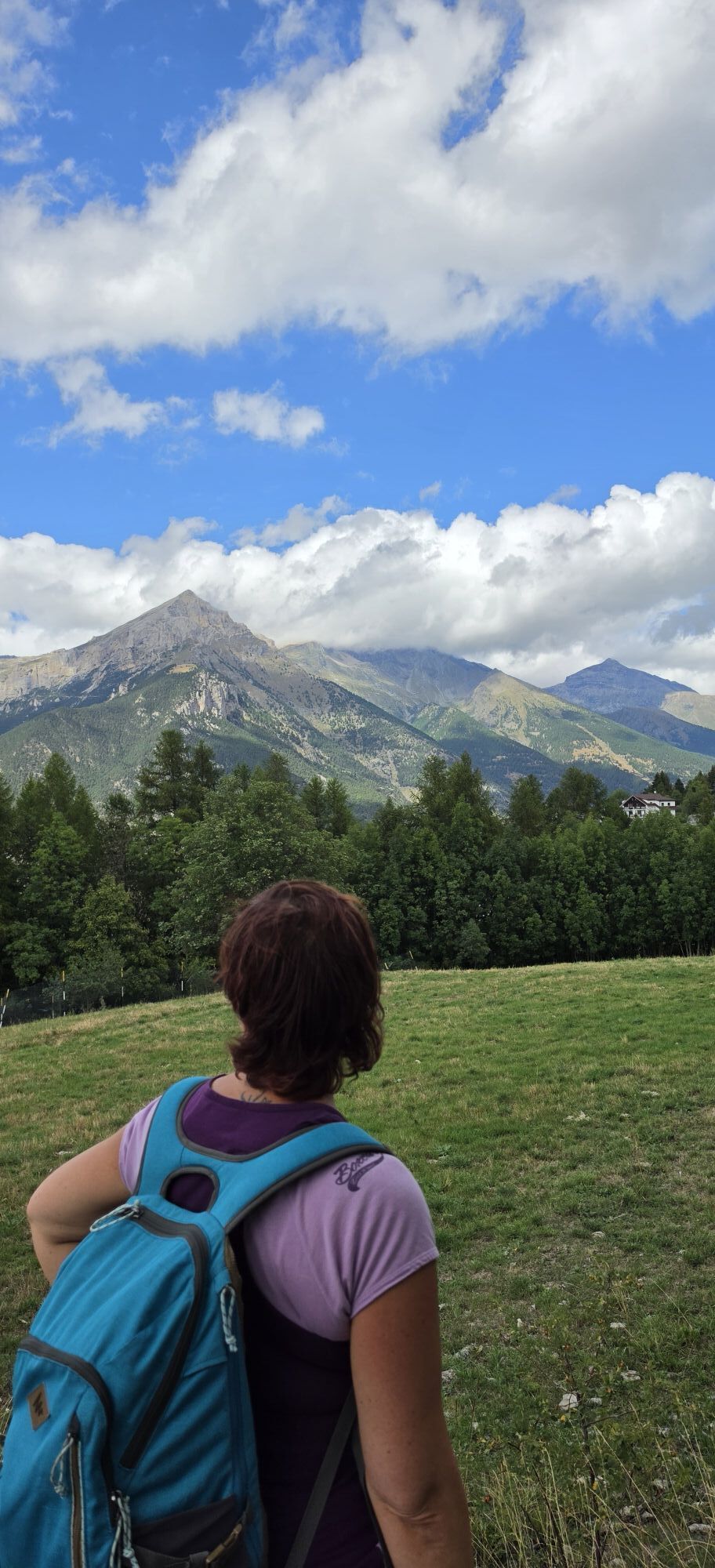
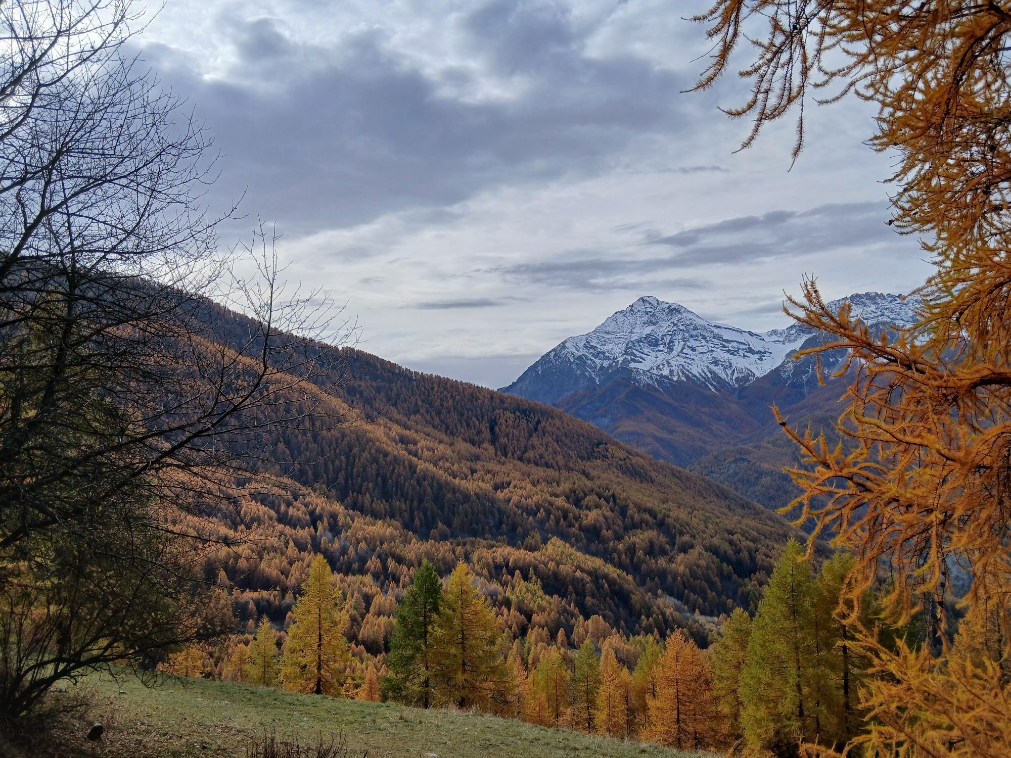
The route connects the Jouvenceaux hamlet with the Malafosse Alta locality and takes place entirely on trail except near the two localities. The itinerary is picturesque, immersed in the forest, particularly...
The route connects the Jouvenceaux hamlet with the Malafosse Alta locality and takes place entirely on trail except near the two localities. The itinerary is picturesque, immersed in the forest, particularly dense and lush, climbing the "Invers" of Malafosse.
The excursion requires good training because the trail in the last part is quite steep; in the first part instead, the climb is gentle and gradual. Upon reaching the hamlet of Malafosse Alta, if you want to add elevation, it is possible to continue along trail No. 14 toward the Rio Nero Valley and the chapel of Notre Dame des Brousailles, or return to the starting point descending the dirt road to Tachier (part of trail No. 11) and from there to Jouvenceaux on trail No. 12, thus making a loop. If instead you want to reach Sauze d'Oulx, just continue on No. 11 (Golden Trail).
Support and technical description by Barbara Demonte - Environmental hiking guide.

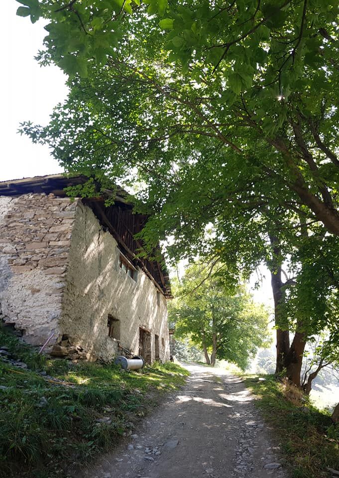
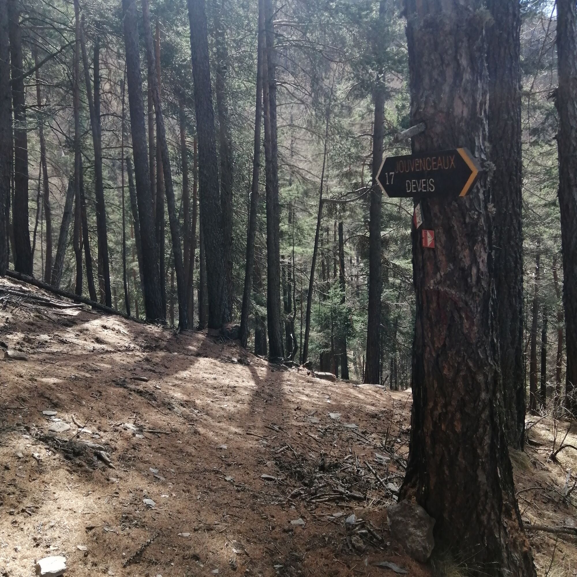
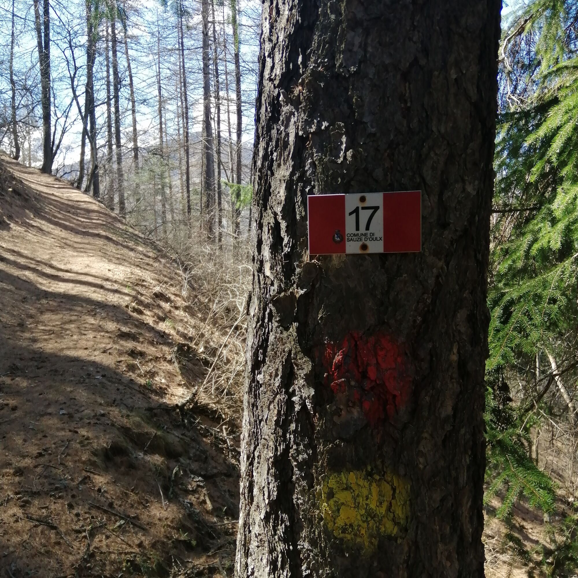
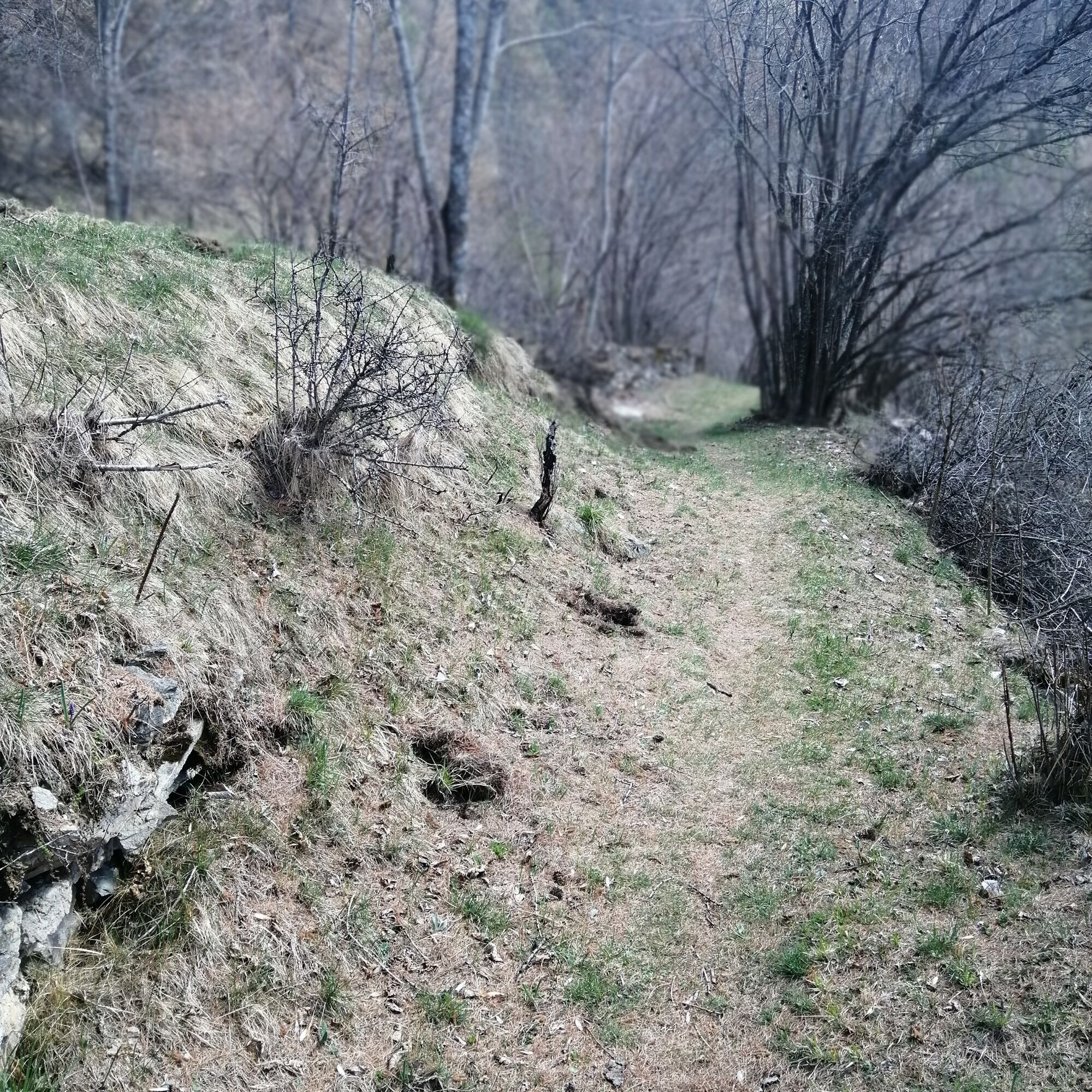
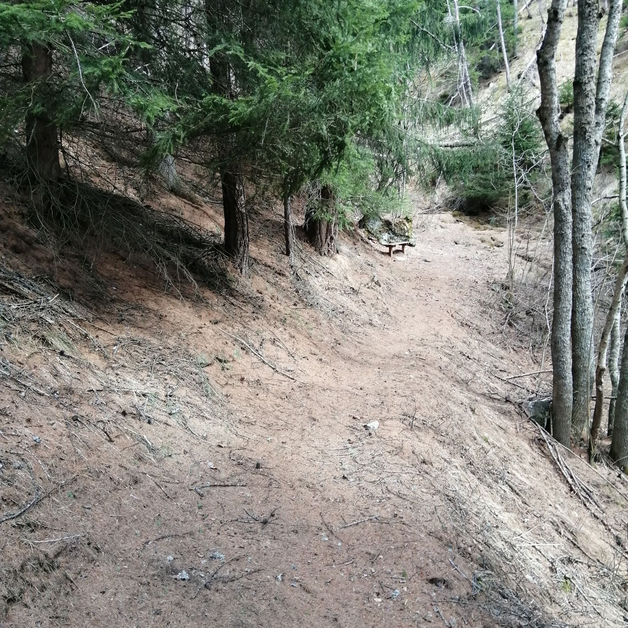

The route begins at Jouvenceaux (a hamlet of Sauze d’Oulx), at the departure point of the "Jouvenceaux-Sportinia" ski lift at an altitude of 1,380 meters, where there is a panel indicating some trails; it is possible to leave the car in the large parking lot along the provincial road right near the chairlift.
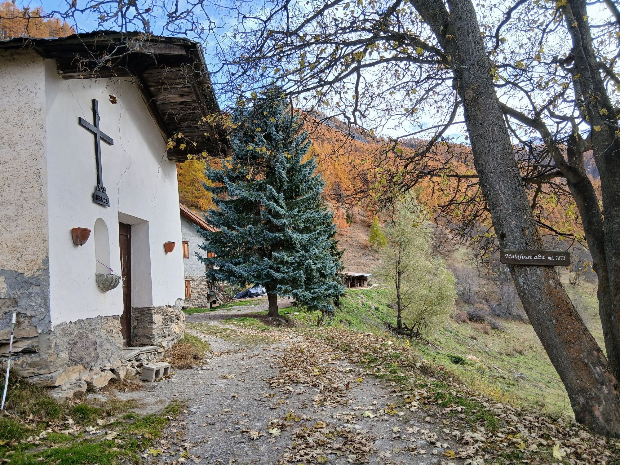
After passing the start of the lift, the first paved uphill section is faced, which soon gives way to a dirt track (the first part of the trail is shared with trails 12 and 16), reaching a fork after a few minutes: leaving the track that turns left next to a rotationally cultivated field, you continue straight on the trail marked No. 17. You easily cover about 2 kilometers with ups and downs, gaining about 100 meters of elevation through woods, clearings with meadows once cultivated, dry stone walls, until crossing a narrow valley and cutting across a very steep slope, emerging on trail No. 16 (altitude 1,500 meters): you must follow it downhill steeply to the right for about 250 meters, crossing the Rio Barracan and reaching another fork at 1,450 meters altitude where the indication for trail No. 17 is found again, which you follow turning left. The trail climbs steeply again, and after a right turn it begins to follow a long diagonal cutting across a steep slope, until reaching the ridge at about 1,580 meters overlooking the Comba di Rio Nero. Turning left, maintain the ridge on a steep climb, which softens slightly at about 1,700 meters altitude; after a clearing and skirting dry stone walls, you emerge onto the road coming from Tachier and Sauze d’Oulx (along this last ridge stretch, the trail sometimes splits then rejoins). Turning right, you reach on flat ground in a few minutes the alpine pasture of Malafosse Alta at 1,810 meters, with the chapel of San Bernardo and the alpine pasture where it is possible to buy typical cheeses.
Ano
Wear clothing and footwear suitable for the environment and the season.
From Torino follow signs for the North Ring Road toward Trafori - Frejus.
Take highway A32 toward Bardonecchia and exit the highway at the Oulx ring road sign, toward Monginevro - Sestriere.
At the tunnel exit continue left toward Sauze d'Oulx.
Train from Torino P.N to Bardonecchia (stops Oulx-Cesana-Claviere-Sestriere)
Arriva bus line 285 from Oulx to Sauze d'Oulx - Jouvenceaux stop
Jouvenceaux upper parking (chairlift)
T2
Before undertaking any excursion, it is advisable to check weather bulletins or ask for information at local Tourist Offices. It is good practice not to undertake an excursion alone and always inform someone of your destination.
Do not litter; carry waste down, also picking up any left by others.
The indicated travel times are approximate and may vary depending on weather conditions and individual skills.
Fountain at Malafosse Alta
The name "Invers" refers to the dense conifer forest facing north that you go through in the second part of the itinerary; the first part instead shows a predominance of broadleaf mixed with conifers.
Arriving at the hamlet, it is possible to buy and taste the cheeses from the alpine pasture.
Získejte přehled
Vždy živě na místě s více než 9 500 webkamerami. bergfex Jako uživatel Pro si nyní můžete zobrazit odpovídající webové kamery pro mnoho prohlídek v aplikaci prohlídky z. Můžete si tak přímo prohlédnout aktuální podmínky.
Oblíbené prohlídky v okolí
-
5.0
BARDONECCHIA Colle Sommeiller
středníMountainbike 25.4 km -
5.0
BARDONECCHIA Forte Jafferau Loop
heavyMountainbike 36.8 km -
4.7
BARDONECCHIA Col des Acles - Passo della Mulattiera
středníTuristika 6.23 km -
5.0
BARDONECCHIA Decauville
středníTuristika 7.29 km -
BARDONECCHIA - Loop Colle della Scala - Col de Montgenèvre - Colle del Sestriere
heavySilniční kolo 91.9 km -
5.0
SESTRIERE Monte Rognosa
heavyTuristika 6.42 km -
BARDONECCHIA Monte Jafferau
heavyTuristika 11.6 km -
3.5
BARDONECCHIA Sentiero dei Cosetti by Luciano Ferraris
světloTuristika 3.24 km -
CESANA T.SE Lago Nero - Seven Colors Lake
středníTuristika 3.51 km -
SAUZE D'OULX Richardette - Montagne Seu )
středníMountainbike 19.9 km

Pěší turistika a stopování


Nenechte si ujít nabídky a inspiraci pro vaši příští dovolenou
Vaše e-mailová adresa byl přidán do poštovního seznamu.





