







BARDONECCHIA Chesal nature route
Úroveň obtížnosti: T1
Along the walk there are various explanatory signs that point out the different characteristics of the natural elements encountered on the trail. The frame of the panels is of different colors depending...
Along the walk there are various explanatory signs that point out the different characteristics of the natural elements encountered on the trail. The frame of the panels is of different colors depending on what is described: red for natural environments, yellow for animal species, green for plant species, and blue for curiosities.
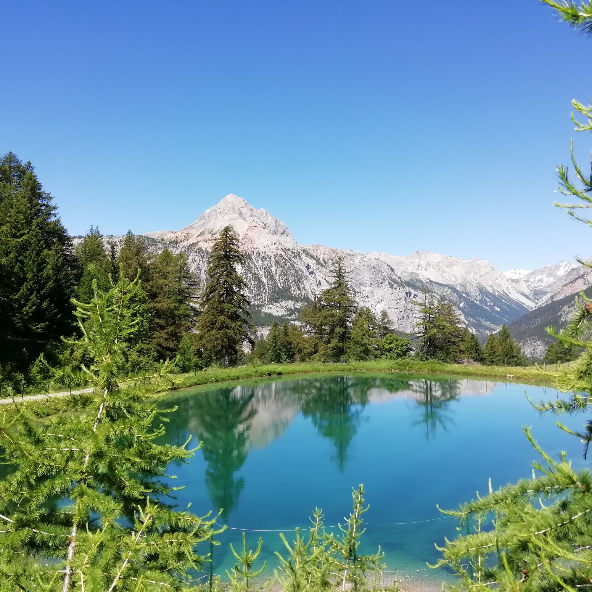
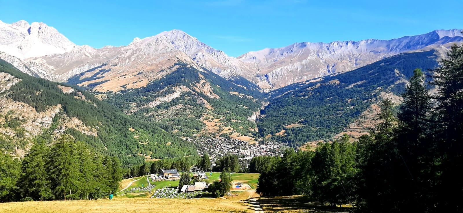
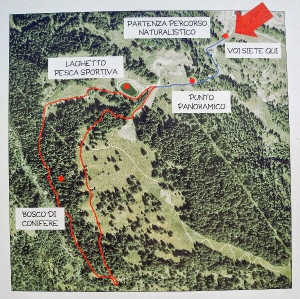
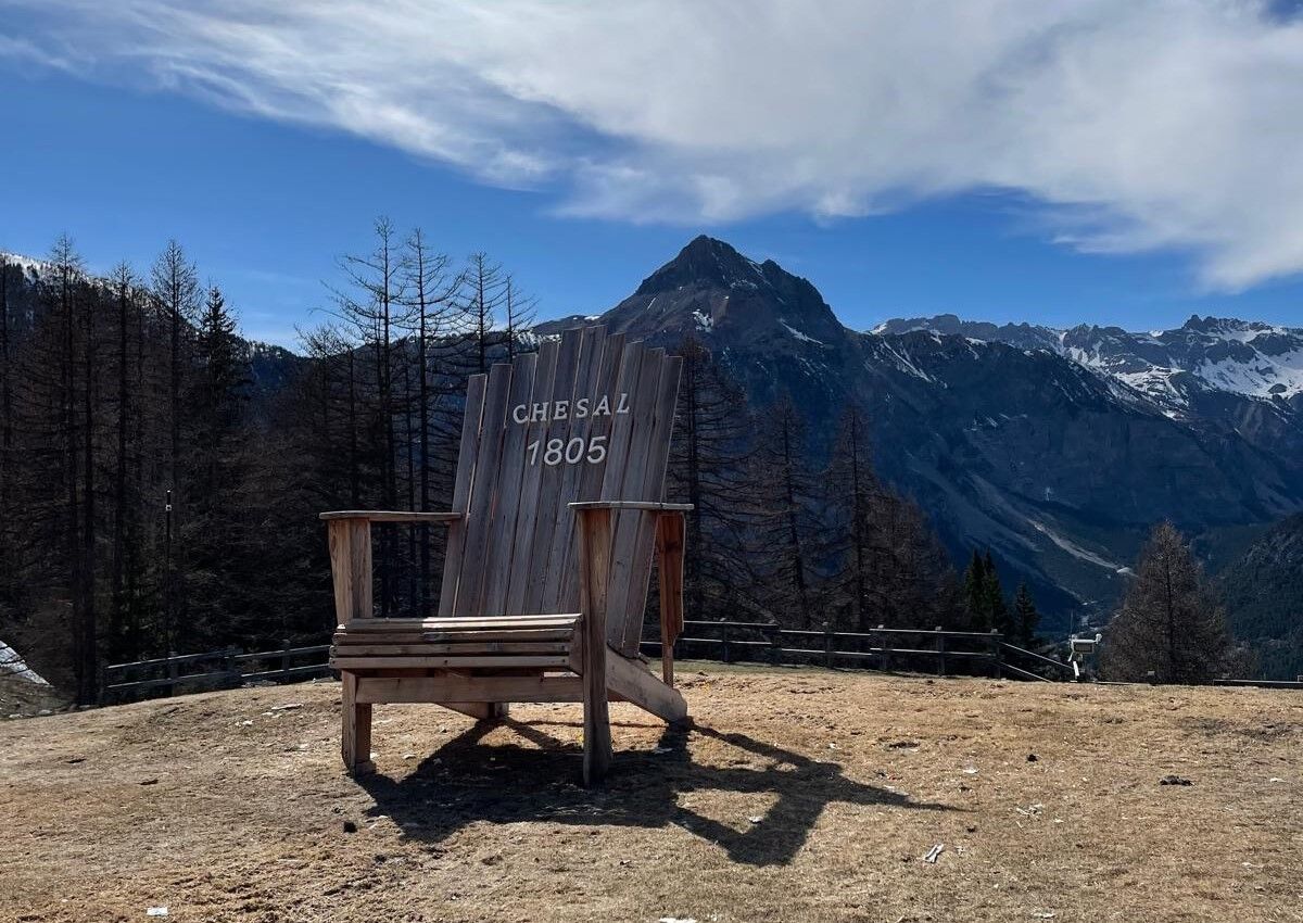
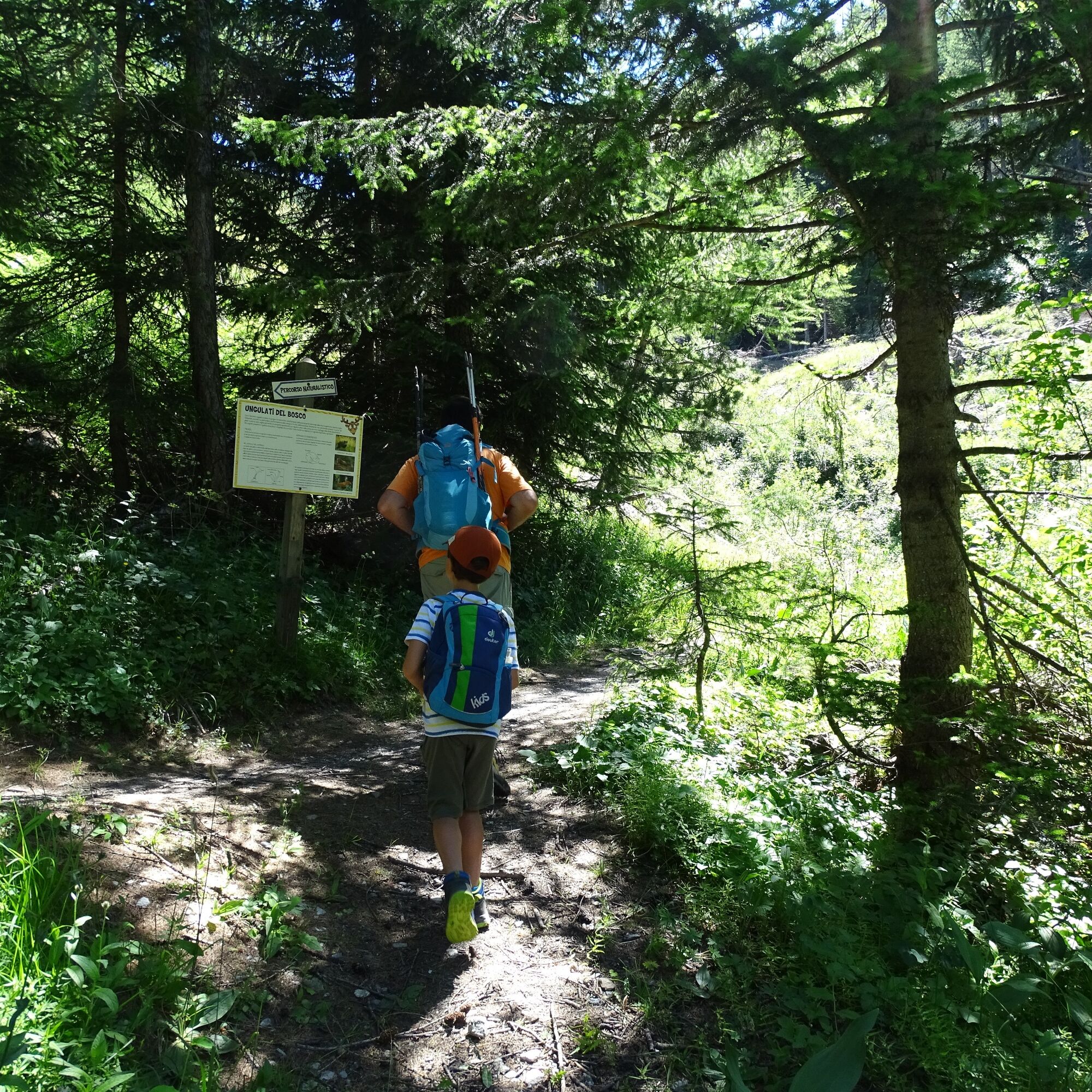

From the arrival of the Melezet-Chesal chairlift descend to the Chesal 1805 restaurant and keep to the left until you reach the start of the Bosco chairlift where the route equipped with signs describing the natural features of the area begins; skirt the small artificial snowmaking pond and continue descending to the Grange Cros du Rey. From here, gently ascend towards the Guiaud Valley. Once you reach the Rio Guiaud, turn left and return along a relatively flat path slightly higher up.
Ano
Ano
Trekking shoes
By car:
- A32 Highway Turin - Bardonecchia, Bardonecchia exit
- State Road 24: Turin - Oulx and then State Road 335: Oulx - Bardonecchia
Once you reach Bardonecchia, head towards the Les Arnauds hamlet and reach the Melezet village.
From Melezet, go up on foot along the dirt road or take the chairlift to Chesal. To check the chairlift opening times, click here.
By train:
- line Turin Porta Nuova - Bardonecchia
Once you reach Bardonecchia from Hotel La Betulla (100 m from the train station), take the free shuttle of Line 3 to Melezet.
To know shuttle times, click here.
From Melezet, take the chairlift to Chesal. To check the chairlift opening times, click here.
In Melezet there are several free parking areas near the ski lifts.
T1
Start and finish at high altitude in Chesal - approach recommended by chairlift
Enjoy a typical dish or relax in the sun on the terrace of the bar/restaurant Chesal 1805

Webové kamery z prohlídky
Získejte přehled
Vždy živě na místě s více než 9 500 webkamerami. bergfex Jako uživatel Pro si nyní můžete zobrazit odpovídající webové kamery pro mnoho prohlídek v aplikaci prohlídky z. Můžete si tak přímo prohlédnout aktuální podmínky.

Oblíbené prohlídky v okolí
-
5.0
BARDONECCHIA Colle Sommeiller
středníMountainbike 25.4 km -
4.5
BARDONECCHIA Pian del Colle - Valle Stretta
středníSněžnice 5.02 km -
5.0
BARDONECCHIA Green Lake
světloTuristika 2.14 km -
5.0
BARDONECCHIA Forte Jafferau Loop
heavyMountainbike 36.8 km -
4.5
BARDONECCHIA Walter Bonatti Path - Grange della Rho
středníTuristika 6.06 km -
5.0
BARDONECCHIA Decauville
středníTuristika 7.29 km -
5.0
BARDONECCHIA Col des Acles - Passo della Mulattiera
středníTuristika 6.23 km -
BARDONECCHIA - Loop Colle della Scala - Col de Montgenèvre - Colle del Sestriere
heavySilniční kolo 91.9 km -
BARDONECCHIA Lago Verde
světloMountainbike 10.7 km -
BARDONECCHIA Monte Jafferau
heavyTuristika 11.6 km
Pěší turistika a stopování


Nenechte si ujít nabídky a inspiraci pro vaši příští dovolenou
Vaše e-mailová adresa byl přidán do poštovního seznamu.





