







GPR Stage 2: Giraudo bivouac - Noasca

From the bivouac, going downhill, continue on the Alta Via Canavesana route which coincides for this section with the Giro Parco, and you arrive near Alpe Breuil and its plateau. Further on, leave the...
From the bivouac, going downhill, continue on the Alta Via Canavesana route which coincides for this section with the Giro Parco, and you arrive near Alpe Breuil and its plateau. Further on, leave the mule track to the right again which, through Colle Sià and Cà Bianca descends to Ceresole Reale and instead continue to the left on the flat path that leads to the Casa di Caccia del Gran Piano 2222 m. From here you leave the A.V.C. and go south to the edge of the plateau to follow the Royal Hunting Road which, with numerous hairpin bends and a constant slope, descends to Noasca. At an altitude of 1900 m, at the junction with path 552 which descends to Varda-Balmarossa, continue to the left following the well-marked track which descends into the reforestation area (this section of the path is subject to rock falls, therefore, in case of bad weather, it is recommended to descend directly to Varda along the 552). At an altitude of 1650 you cross path 548 which leads to the Noaschetta refuge, which you leave on the left, continuing the descent on the royal hunting road up to the provincial road system, just upstream of the town of Noasca, where there are accommodation facilities. The itinerary was promoted within the platform as part of the PITEM M.I.T.O. project. – Outdoor OFF - Interreg Italy-France Cross-Border Cooperation Program ALCOTRA 2014-2020.

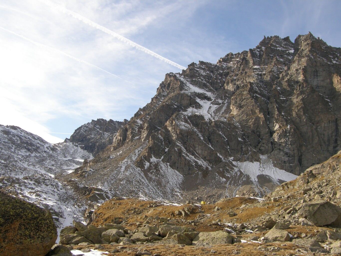

From the bivouac, downhill, continue on the route of the Alta Via Canavesana, which for this section coincides with the Giro Parco, and arrives close to Alpe Breuil and its plateau. Further on, leave the mule track on the right which, across Colle Sià and Cà Bianca, descends to Ceresole Reale. Continue instead to the left on the flat trail which takes to the Casa di Caccia del Gran Piano 2222 m. From here, leave the A.V.C. and continue to the edges of the plateau in a southerly direction to follow the Strada Reale di caccia which, on numerous bends and constant gradient, descends to Noasca. At 1900 m, at the junction with trail 552, which descends to Varda –Balmarossa, continue left, following the well signposted track that descends into the reforestation area (this section of the trail is subject to rock falls so, in case of bad weather, it is recommended to descend directly to Varda on 552). At an altitude of 1650, you encounter trail 548 that takes to the Noaschetta Refuge, which you leave on the left, continuing downhill on the strada reale di caccia as far as the Provincial road, just upstream of Noasca, where there are accommodation facilities.
Ano
Path that takes place in a high mountain environment for which the use of waterproof boots, anorak and trekking poles is recommended.
Path that takes place in a high mountain environment, the use of waterproof boots, a windbreaker and trekking poles is recommended.
Nothing to report
Starting point NOT reachable by bus. The closest place that can be reached by bus is Ceresole Reale, starting from the city of Turin with a change in Rivarolo Canavese. Starting point NOT reachable by train. The closest place that can be reached by train is Rivarolo Canavese, starting from the city of Turin.
Parking is free near the entrance to the path of the hiking trail.
Nothing to report
The itinerary largely retraces the ancient Royal Hunting Roads, built in the middle of the last century by the House of Savoy to connect the five "real hunting lodges" of the Reserve, which later became the first Italian National Park in 1922. With a constant slope of around 8/10%, and with admirable dry stone walls and paved sections, they were supposed to guarantee comfortable access for the royal procession to the residence houses with walkable paths. This is an itinerary that has stretches at high altitudes, from which you can enjoy a wide view of the spectacular panoramas of the Orco and Soana valleys, valuable landscape and environmental assets.

Oblíbené prohlídky v okolí
-
5.0
Gran Paradiso über Rifugio Vittorio Emanuele II.
středníVysokohorská turistika 10.1 km -
3.3
Pont Le Breuil - Rifugio Vittorio Emanuele
středníTuristika 10.5 km -
5.0
CERESOLE REALE Bellagarda ponds
středníTuristika 7.60 km -
Gran Paradiso
Lyžařská trasa 11.8 km -
5.0
Vie Storiche di Montagna | Colle del Nivolet
heavySilniční kolo 18.5 km -
NIVOLET PASS Lakes Rosset, Leità and Chanavey
středníTuristika 4.45 km -
5.0
Goldtoni - Alpenbogen A120 Pialpette-Ceresole Reale
střednídálková pěší trasa 18.2 km -
GPR - Giroparco Gran Paradiso
heavyTuristika 100.4 km -
NOASCA Loop to the Noaschetta refuge
středníTuristika 7.44 km -
Lake Dres - Ceresole Reale
středníTuristika 7.24 km
Pěší turistika a stopování


Nenechte si ujít nabídky a inspiraci pro vaši příští dovolenou
Vaše e-mailová adresa byl přidán do poštovního seznamu.





