







Vioil trail

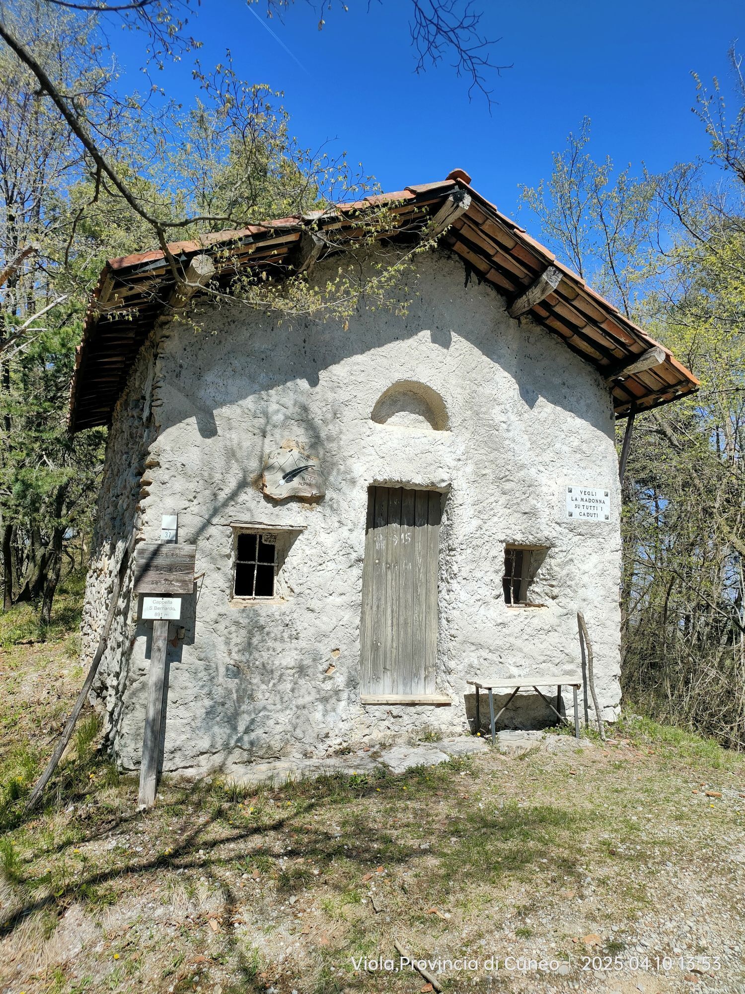
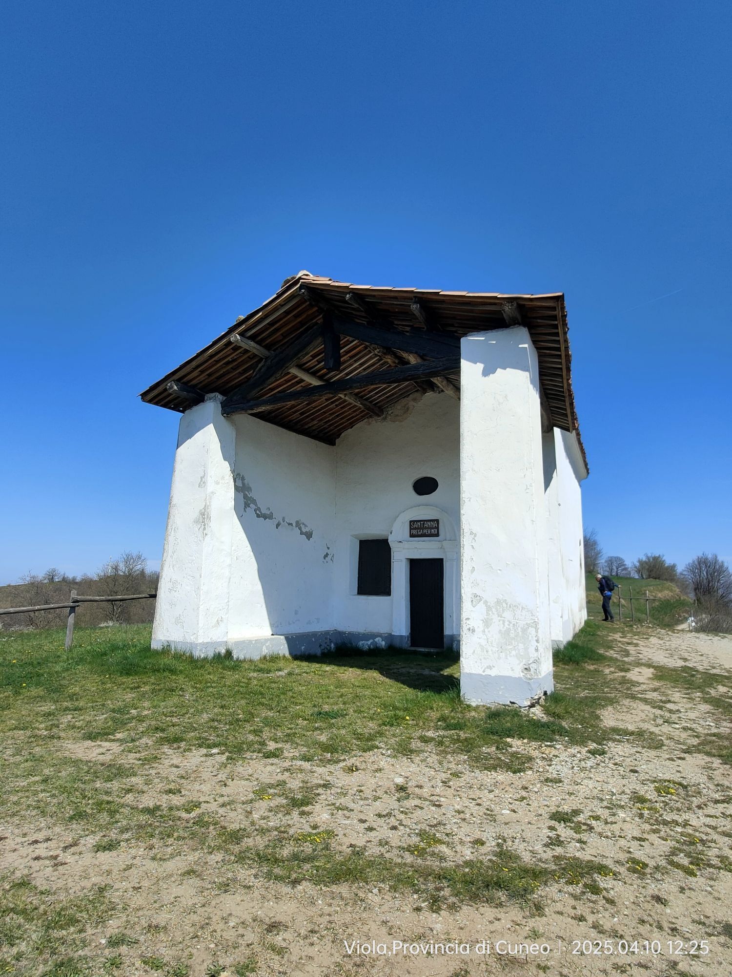
Viola, the Roman Vehola ( the oil road ), was perhaps an alternative Roa Marenca for the Ligurian oil trade to Piedmont. Today of course it is this paved and secondary route which will allow you to spend...
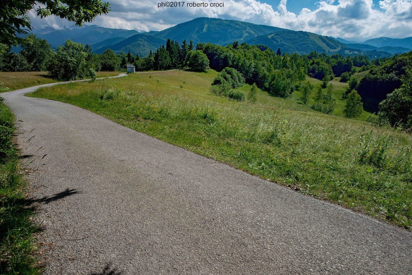
We recommend starting from Garessio and on reaching Priola (ancient Gold nugget, found here in the Tanaro) on the SS 28 take the signs for Viola, on the via dei Canova, perhaps also passing through the hamlet of Mursecco. The long asphalted road will lead us to the peak of Colle San Giacomo (1,060 m) with its chapel, a feature which will be characteristically seen along this evidently primitive pilgrim route: a covered patio at the entrance that served as a shelter.
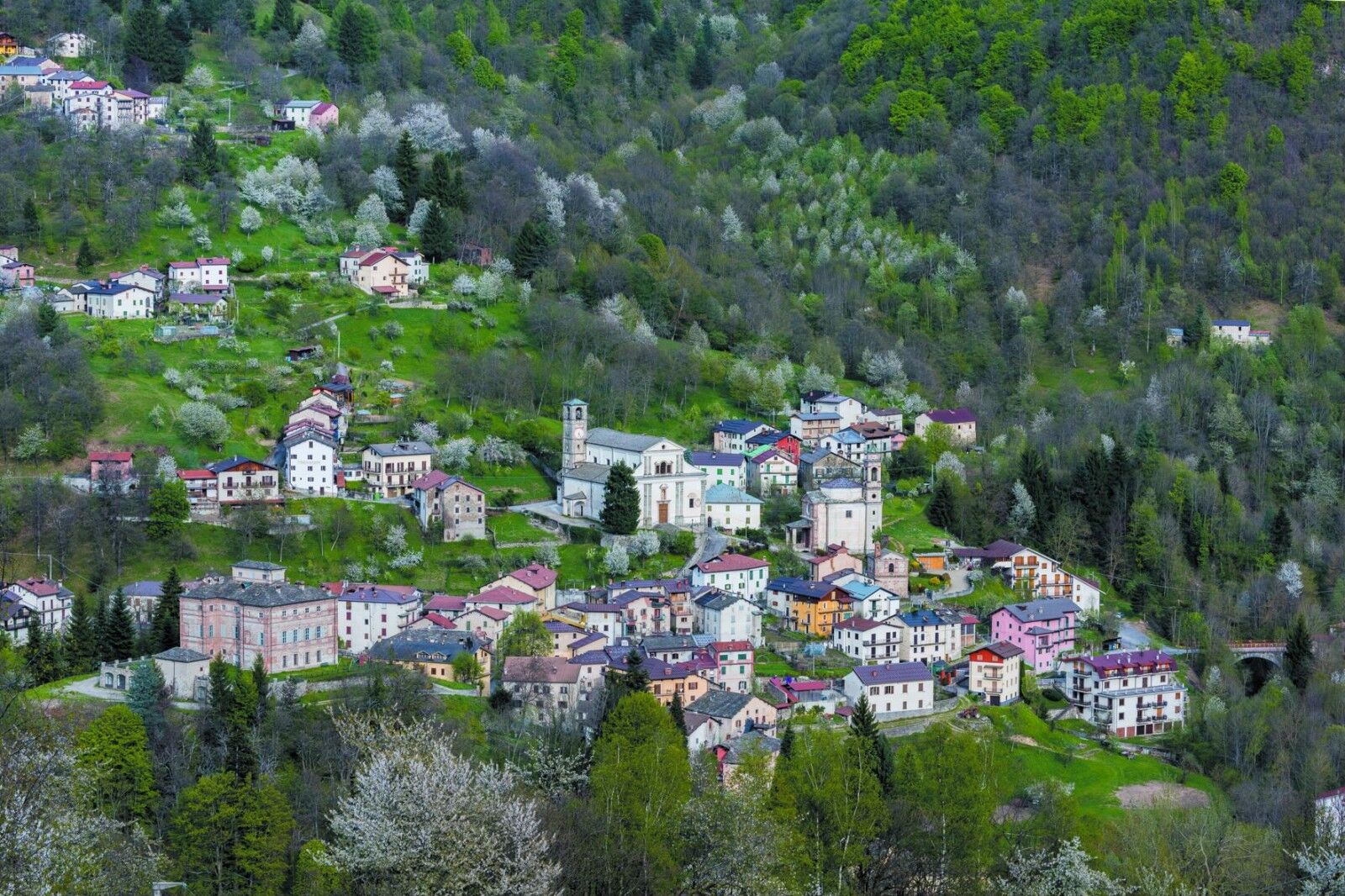
The downhill road leads us to Viola Castello, with a continuous almost uninterrupted succession of ancient monuments and modern cultivations, which keep this territory alive. At the bottom of the valley go uphill towards the SP 34 which leads to Viola, with a panoramic view of its castles and towers, and other ancient stops by travelers. Behind the Albergo Ristorante San Martino immediately take the secondary asphalt road uphill to the left which immerses among the chestnut trees, up to the Sanctuary of Madonna della Neve (1.035 m), with a stopover and seasonal refreshment point.
The ancient "roa" continues from here, uphill on asphalt, towards Monasterolo Casotto, touching Colla Bassa (Four Streets) with panoramic points among the most beautiful in Val Casotto. As soon as the descent begins, take the sign for San Colombano on the left, a church among the chestnut trees (889 m), with a stop-off point and shelter for travellers. Then descend to Tetti Casotto (497 m), on the riverbed of the Casotto stream where a small "de-tour" can be made to the Chapel of San Lorenzo, and continue to Torre Mondovì where the magical confluence between the Corsaglia and Casotto streams awaits, generating magnetic energy, as witnessed by the beautiful church of San Antonio (XI century). The incredible internal road, Via Roma, will take us straight to the San Gottardo Sanctuary, rich in votive offerings, finishing on the flat at the "tollhouse" of Moline.


Ano
PLACES OF INTEREST:
What to see in Garessio
What to see in Viola
What to see in Monasterolo Casotto
What to see in Torre Mondovì

Oblíbené prohlídky v okolí
-
The loop trail of Bosconero
středníMountainbike 48.6 km -
Sentiero Balcone Monregalese
světloTuristika 104.0 km -
Croce cardini - monte Alpet
světloSněžnice 4.93 km -
From Mondovì to Vicoforte, among artistic masterpieces
středníMountainbike 31.1 km -
Sentiero Tanaro: Tappa 8 Garessio (Borgata Pian Bernardo, Fraz. di Trappa) - Ormea
světloJízda na kole 11.3 km -
Sentiero Tanaro: Tappa 14 Lisio - Viola St Gree
světloJízda na kole 7.88 km -
Sentiero Tanaro: Tappa 15: Viola St Gree - Pamparato (Borgo di Valcasotto)
světloJízda na kole 13.2 km -
Sentiero Tanaro: Tappa 16 Pamparato (Borgo di Valcasotto) - Frabosa Soprana (Fraz.Fontane)
světloJízda na kole 15.0 km -
Sentiero Tanaro: Tappa 6 Nucetto - Priola (Borgata Casario)
světloJízda na kole 16.5 km -
Monte Grosso, monte Antoroto, Alpi Liguri.
středníLyžařská trasa 12.5 km

Pěší turistika a stopování


Nenechte si ujít nabídky a inspiraci pro vaši příští dovolenou
Vaše e-mailová adresa byl přidán do poštovního seznamu.





