


TORRE PELLICE Upslowtour - Loop 10 of the Sea
Úroveň obtížnosti: 3
The loop, after crossing the historic center of Torre Pellice, follows the steep road that first leads to the village Cianramà (900 m) and then climbs to the locality Sea (1,255 m), from which you can...
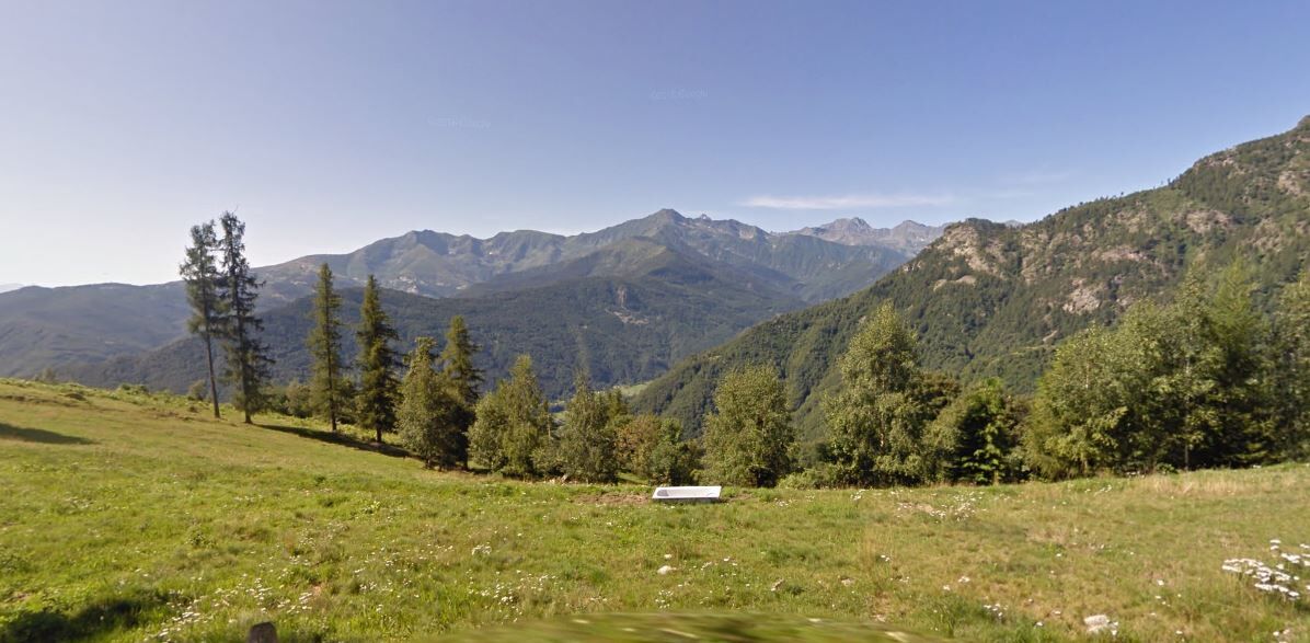
From here it is possible to take a branch that further climbs to 1,770 m at Alpe Vandalino, where there is an equipped bivouac.
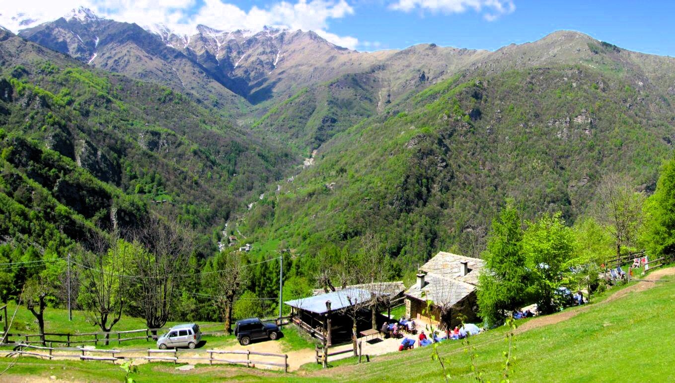
The descent takes place on the northern side of the Val d’Angrogna, passing by Rifugio Barfé (1,220 m), with a short and fun single-track section. Arriving on the valley road, you follow the Angrogna stream up to locality Ponte Alto (660 m), from where you return to the starting point through a beautiful path through the woods.
A shorter and technically easier alternative involves descending the consortile road of Serre Malan, rejoining the main route at locality Chiot d'l'Aiga.
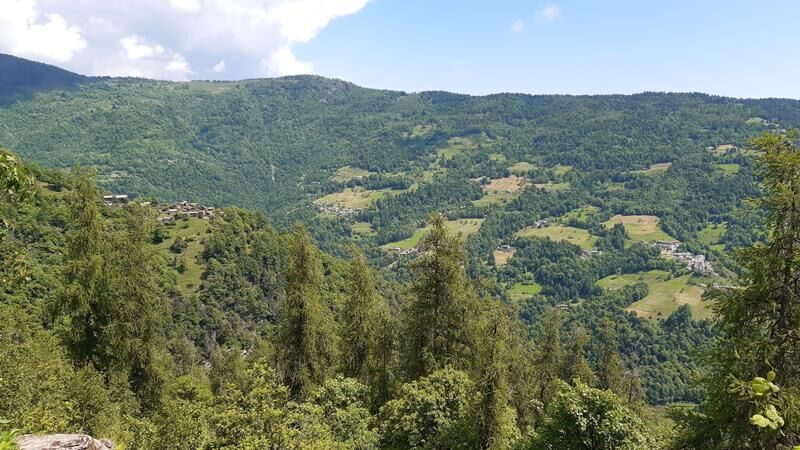
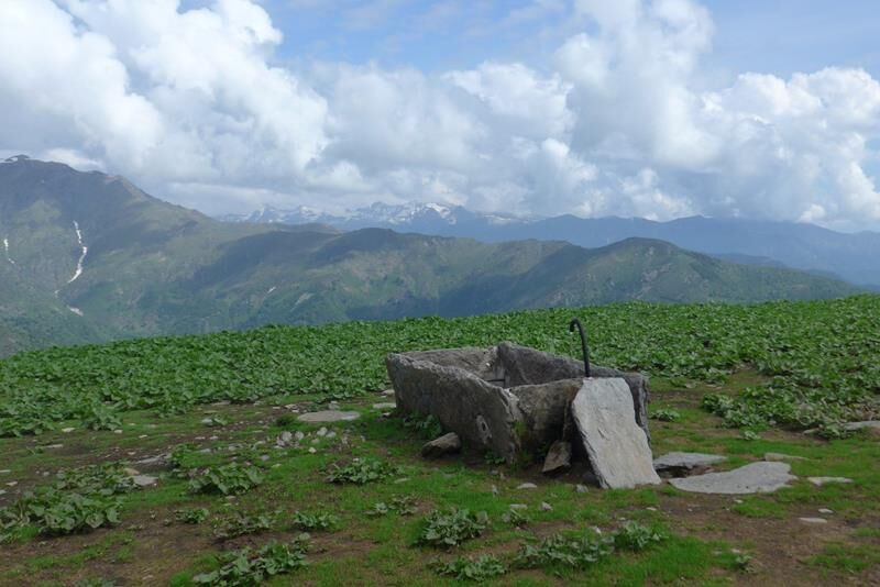
The road becomes partially unpaved and continues to climb through fresh woods, until reaching the ridge between the Angrogna valley and the main valley in the locality Sea di Torre (1,255 m a.s.l.), where for a short stretch we return to asphalt. A beautiful panorama opens up over the middle Val Pellice and the lower Val d'Angrogna.
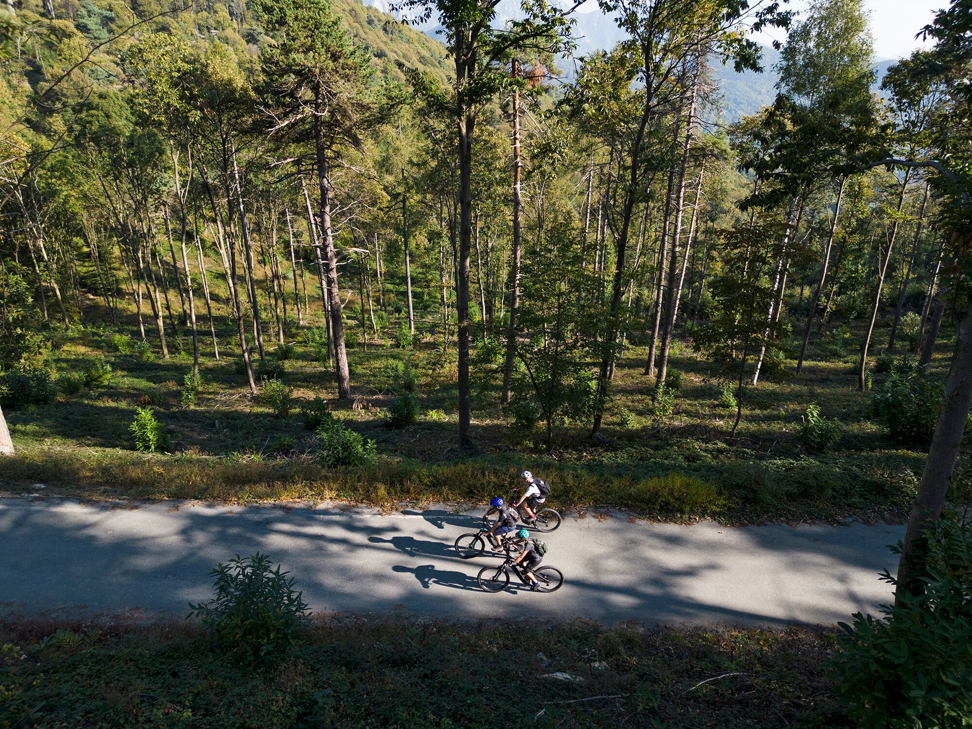
From Sea it is possible to take branch 10a that climbs to Alpe Vandalino. The main route instead continues on an unpaved road maintaining the altitude, through lush and fresh woods, arriving in the locality Prato Stella (1,260 m a.s.l.). Then we begin the descent that leads near Rifugio Barfè (1,220 m a.s.l.). For an easier and shorter return, we can turn right towards the village Serre Malan (variant 10b), while for the main loop we keep left and, after a short stretch of slight ascent, turn right where the road descends becoming a "technical" path for about 500 m.
The loop becomes an unpaved road again and with numerous hairpin bends on continuous surface reaches Barfé bridge (850 m a.s.l.). Then we turn right and pedal along the asphalt valley road that runs alongside the Angrogna stream, with a succession of "tumpi" and scenic waterfalls.
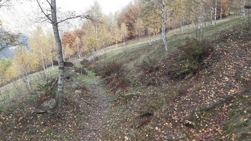
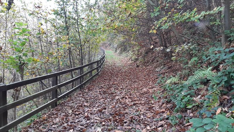
At km 16.18 in locality Ponte Alto (660 m a.s.l.), we leave the main road to cross a bridge over the stream: it begins a slightly uphill unpaved road that shortly, keeping left, becomes a path again immersed in lush broadleaf woods. With some ups and downs, we return to the road traveled earlier near the village Armand; at an altitude of 600 m a.s.l., we turn right into Via Ravadera, which quickly takes us to Viale Dante and the historic center of Torre Pellice, returning to the starting point.
Appropriate clothing and equipment are recommended.
Be careful of shepherd dogs near the Vandalino alpine pasture.
From Turin, just take the A55 motorway to Pinerolo, then follow SP 161 of Val Pellice for about 15 km to Torre Pellice.
To reach Torre Pellice, after arriving in Pinerolo by bus or train, you can take the bus from the Arriva company that reaches the town center.
Two large free parking lots near the starting point are recommended, in Piazza Cavour and Piazza Stazione
3
Rideability: 100%
Recommended direction of travel: CLOCKWISE
Technical difficulty MC+/BC
Oblíbené prohlídky v okolí
- 5,0
BOBBIO PELLICE Upslowtour - Ring 2 of the refuges
heavyJízda na kole 37,6 km - 5,0
Invincibles valley - Alpe Caugis
Turistika 15,3 km BRICHERASIO The Via della Pietra
světloCyklistika na velkou vzdálenost 11,5 kmPINEROLO Route to Monte Muretto
středníTuristika 2,12 kmBOBBIO PELICE Trekking in the hamlets and forests around Bobbio
středníTuristika 7,72 km- 5,0
BOBBIO PELLICE Climb to the Barbara Lowrie Refuge
heavySilniční kolo 9,19 km The Fort Roads - stage 11 from Massello to Prali
heavyPoutní stezka 13,7 kmTORRE PELLICE Naturalistic trail "The Jay"
světloTuristika 10,2 kmPRAROSTINO From Piani to Sonagliette and back - SLOWLY TOGETHER
světloTuristika 6,60 kmTORRE PELLICE The Shepherds' Way
světloMountainbike 11,0 km
Pěší turistika a stopování


Nenechte si ujít nabídky a inspiraci pro vaši příští dovolenou
Vaše e-mailová adresa byl přidán do poštovního seznamu.