







Gently rolling lands between Gavi and Dolcetto
The area between Novi Ligure and Gavi is located in the south-eastern area of Piedmont, in the province of Alessandria and on the border with Liguria. The hills that alternate with the steep valleys embellish...
A crossroads of cultures, historically this territory belonged to the Republic of Genoa (1447 to 1815), a characteristic that clearly emerges in the gastronomic tradition which combines typically Ligurian farinata and focaccia with agnolotti and meat-based products from Piemonte.

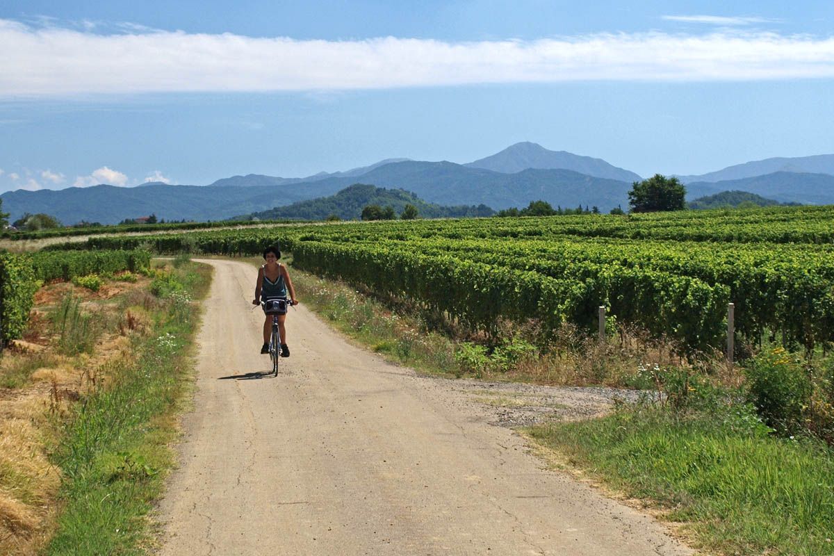
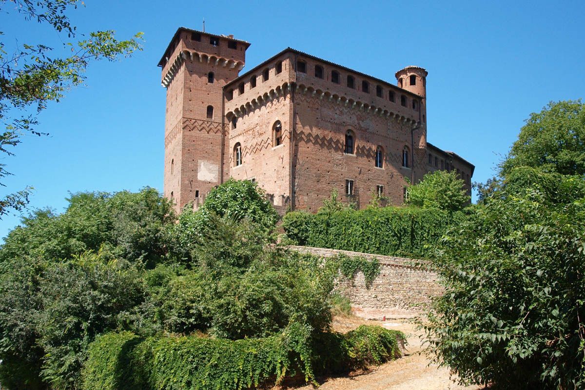
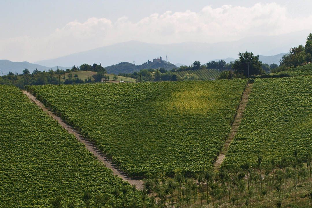
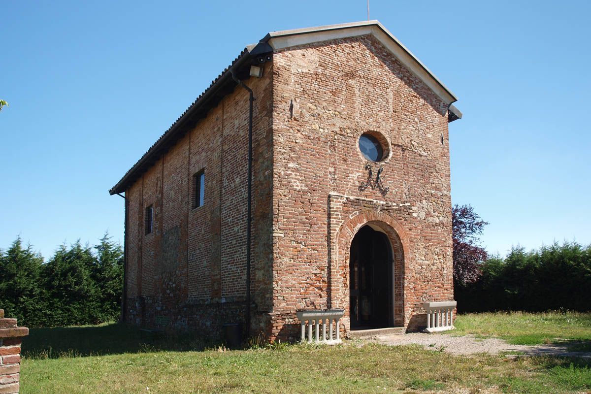
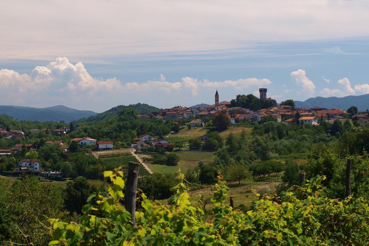
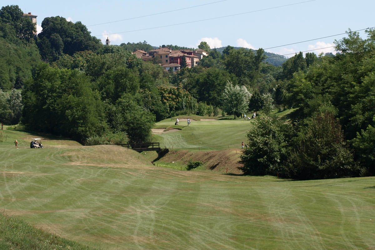

After km.1,5 (km.3) we turn left onto the Castellone road, a panoramic route between estates and vineyards in the direction of Serravalle Scrivia. At the crossroads (km.6.5) we turn left towards Monterotondo, descending into the woods, we pass in front of the LA RAIA estate, and we climb steeply for about a kilometer up to Monterotondo (km.10 – 315 m asl), site of famous wine houses.
We proceed towards Gavi and after three kilometers of ups and downs we arrive at the plain, seeing the imposing fort at the top on the right, until we cross the provincial road from Serravalle towards Gavi (km.13). We turn right and enter In addition to the fort, the medieval gate and gate are worth a visit. We go out in the direction of San Cristoforo; turning left on the bridge over the Lemme, we see the sanctuary of the Madonna della Guardia high up. 19 – m.300 above sea level).
Before the end of the village, turn right towards Novi Ligure and then immediately left onto the beautiful Rondanino road, along the coast among the vineyards for about 5 kilometers until you meet the road to Francavilla. We turn right and go down quickly; we cross the Lemme, we enter Francavilla Bisio and we take the road that goes up to the Castle and then, in three kilometres, takes us to Tassarolo (km.30).
We go back to the church of San Defendente and we turn right for , onto a dirt road which runs alongside the golf courses and which takes us to the road which, in two bends, goes up to the village, which preserves evidence of the Napoleonic era. On leaving the town, in the direction of Novi, we make a stop at the ancient parish church of San Martino (7th century), drinking at the source (km.35). We continue on the provincial road and in three kilometers we return to Novi Ligure. In all about 40 kilometres.
(By Caludio Pasero and Daniela Pestarino)
br<
br<
span/span<
>br<
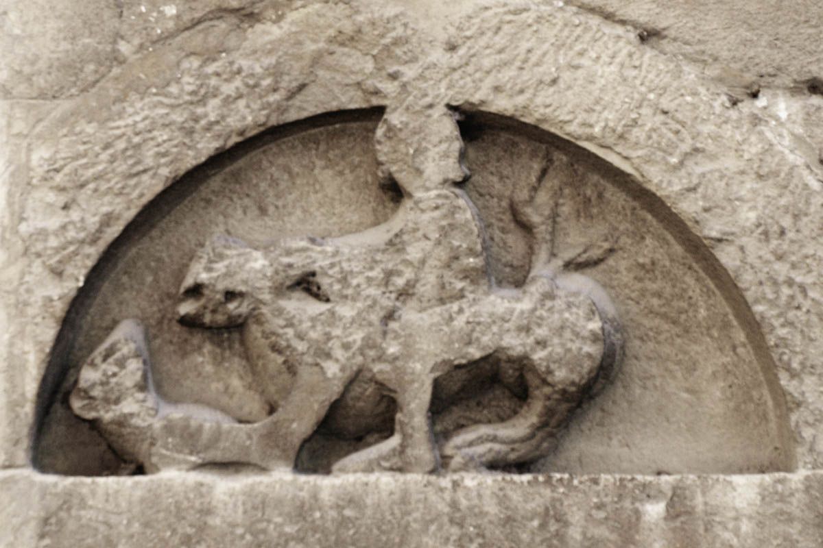
Romanesque church of San Giacomo in Gavi
>span/span<
>br<
br<
Oblíbené prohlídky v okolí
-
Libarna and Alto Monferrato by bike
heavyMountainbike 47.8 km -
Sentiero 200 - Anello Borbera - Spinti - TAPPA 1/11 (Stazzano - Ca' del bello) in camminata
Poutní stezka 8.95 km -
Sentiero 200 - Anello Borbera - Spinti - TAPPA 1/11 (Stazzano - Ca' del bello) in mountain bike
Mountainbike 8.95 km -
IL GRANDE CAMMINO DEL MONFERRATO - 10°TAPPA: OVADA - MORNESE
středníPoutní stezka 19.2 km -
IL GRANDE CAMMINO DEL MONFERRATO - 11°TAPPA: MORNESE - GAVI
středníPoutní stezka 18.2 km -
IL GRANDE CAMMINO DEL MONFERRATO - 12°TAPPA: GAVI - CARPENETO
heavyPoutní stezka 23.6 km -
Ovada ,let history guide you
středníMountainbike 35.3 km -
Lavagnina
světloTuristika 9.01 km -
Rete Natura 2000 - Capanne di Marcarolo
světloTuristika 72.9 km -
5.0
Gavi Monterotondo
světloTuristika 7.98 km
Pěší turistika a stopování


Nenechte si ujít nabídky a inspiraci pro vaši příští dovolenou
Vaše e-mailová adresa byl přidán do poštovního seznamu.





