







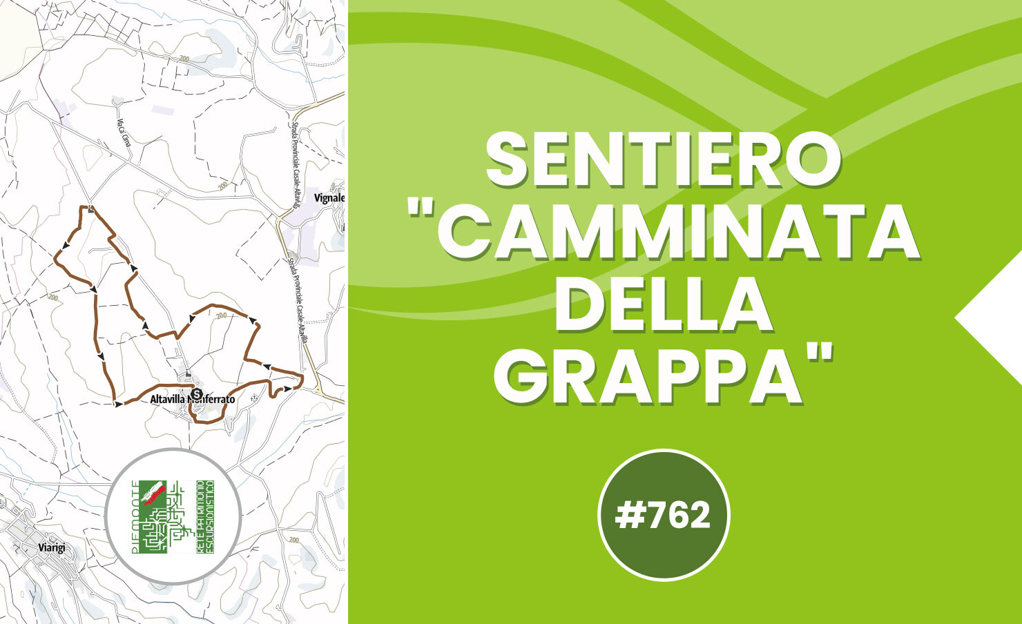
"Grappa walk" trail - Trail 762 walking

The itinerary starts in Piazza Umberto I, where the parish church stands, takes Viale Unità d’Italia, which runs along the ancient walls and passes in front of the Town Hall, from where you can appreciate...
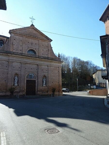
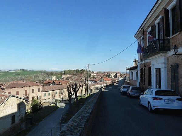
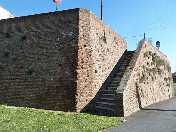
The itinerary starts in Piazza Umberto I, where the parish church stands, takes Viale Unità d’Italia, which runs along the ancient walls and passes in front of the Town Hall, from where you can appreciate a first panoramic view; shortly after the walk takes the short staircase that goes down to the street below, from which you can notice the imposing walls that once surrounded the village.
After descending the stairs the route turns left and then immediately right, going down Via Vignazzo, where it turns left, until emerging onto the provincial road SP 51, where it turns left again, ascending for a short stretch, until it finds, near a curve, Cerreto road on the right, which descends along the slope and then reconnects to the provincial road; the itinerary follows the paved road and soon reaches the locality of Cittadella, where the ancient Mazzetti Distillery stands, which has set up the “Grappa Museum” exhibiting the evidence of distillation activity carried out by the family for six generations.
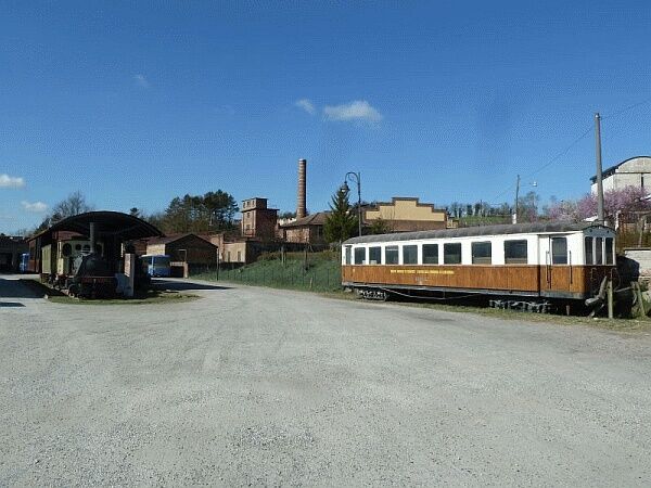
In the courtyard of the adjacent former tram station is the “Tramways Museum,” where a 1907 locomotive and an 1894 terraced carriage are on display, recalling the times when this mode of transport was very important for the local population; leaving the station, the route keeps to the left for a short stretch and then turns, again to the left, on a small road passing near a spare parts workshop, entering the fields.
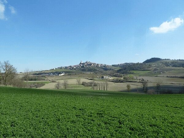
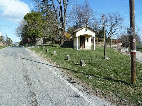
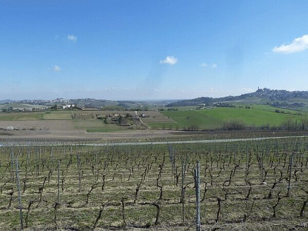
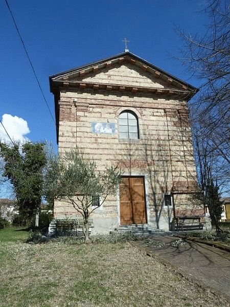
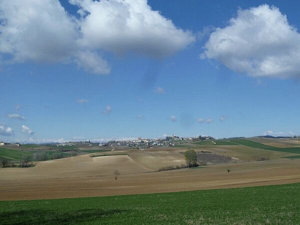
The path comes to a sharp right turn and then climbs the slope until reaching an elevated position where you admire a beautiful 'postcard' with the village of Vignale in the foreground; at this point, the trail keeps to the left, winding first on dirt and then on asphalt, reaches the small chapel of San Grato, where it turns right onto the provincial road, then leaves it after a few meters, turning left.
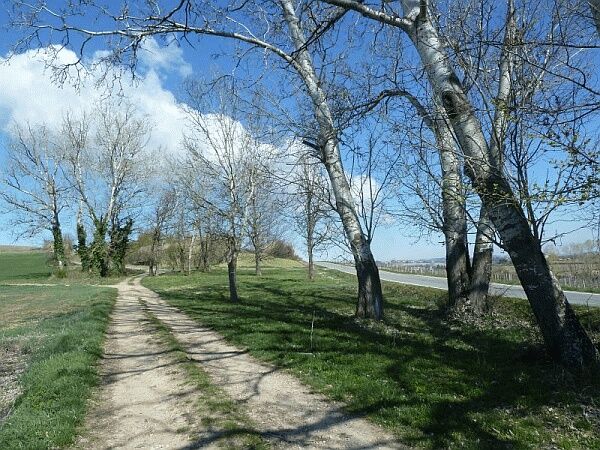
The route takes the dirt road that descends into the small valley below, turns right and runs parallel to the provincial road, on which, turning again right, it climbs; having reached the asphalt, the path turns left and after a few meters turns left again near a beautiful grove of white poplars, where the chapel of San Bernardino stands.
From this point, you enjoy another splendid view of the Monferrato hills and the villages of Vignale, Frassinello, and Olivola; the path leaves the small votive shrine on the left and continues halfway up the slope, first on asphalt and then on dirt, until descending among the vineyards towards the provincial road.
The route turns left, running alongside the paved road, continues on asphalt in the parking lot of the Tenuta San Martino and reaches the beautiful chapel of the hamlet of Molignano; the path takes the dirt road behind the church which descends into the small valley below, turning left and then climbing again on the ridge.
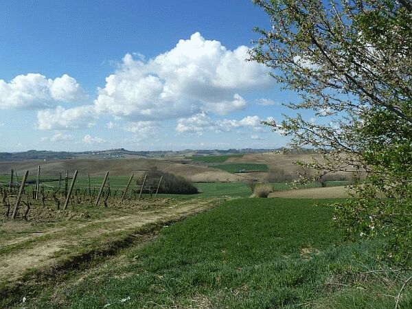
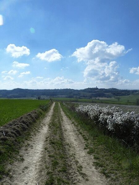
The route continues southwards among the vineyards and offers splendid panoramic views of the surrounding territory, on the border between the provinces of Asti and Alessandria, with the villages of Casorzo, Montemagno and its castle, and Viarigi with its tower; the landscape is truly enchanting and makes the hike memorable.
The path continues along the ridge, then descends slightly in altitude until it meets a junction where it turns left; at the next junction it keeps left again, climbs towards the now nearby village and, upon reaching Altavilla, turns right, returning to Piazza Umberto I, where the itinerary started.


Follow the SP 50 Alessandria – Casale M.to and then climb up to the village of Altavilla.
You park near the parish church, from which the route starts.
Oblíbené prohlídky v okolí
-
Sentiero "Vigneti e Infernot" - Sentiero 726 in mountain bike
Mountainbike 14.1 km -
Sentiero le Vecchie Fonti - Sentiero 860 in camminata
Poutní stezka 14.4 km -
Sentiero le Vecchie Fonti - Sentiero 860 in mountain bike
Mountainbike 14.4 km -
Sentiero "Vigneti e Infernot" - Sentiero 726 in camminata
Poutní stezka 14.1 km -
Here is the Route 45 of Monferrato
středníMountainbike 24.6 km -
Sentiero panorami e ciminiere di Ozzano - Sentiero 738 in camminata
Poutní stezka 7.20 km -
Panoramas and chimneys path of Ozzano - Path 738 by mountain bike
Mountainbike 7.20 km -
Cycling the lands of San Giovanni Bosco
středníMountainbike 61.7 km -
Sentiero la valle dei Frati - Sentiero 746 in camminata
Poutní stezka 7.29 km -
Sentiero Pieve di San Giovanni - Santuario di Crea - Sentiero 727 in mountain bike
Mountainbike 27.3 km
Pěší turistika a stopování


Nenechte si ujít nabídky a inspiraci pro vaši příští dovolenou
Vaše e-mailová adresa byl přidán do poštovního seznamu.





