






GROSCAVALLO Tour of the Gias and Alboni Ring
Úroveň obtížnosti: S1
The start is from Pialpetta (1063 m). The trail initially climbs steeply to reach the high pastures of Val Grande. The Gias Nuove Fontane (1538 m) represent the altimetrical culmination of the hike. This...
The start is from Pialpetta (1063 m). The trail initially climbs steeply to reach the high pastures of Val Grande. The Gias Nuove Fontane (1538 m) represent the altimetrical culmination of the hike. This section is characterized by a typical alpine environment, with wide views of the surrounding peaks that close the head of the valley. From the Nuove Fontane the trail descends to the Bec di Mea. This is one of the most iconic areas in the area: the Bec is a huge gneiss monolith, famous among climbers for its vertical walls. The trail that runs along it offers dizzying views of the valley below and allows you to admire the particular rocky conformation of this sector.The loop closes by passing through the hamlet of Alboni (about 1370 m), one of the best-preserved villages in the Val Grande, with its stone houses and slate roofs. From here you resume the paved road that leads quickly back to the valley floor, reconnecting with Pialpetta and completing the loop..

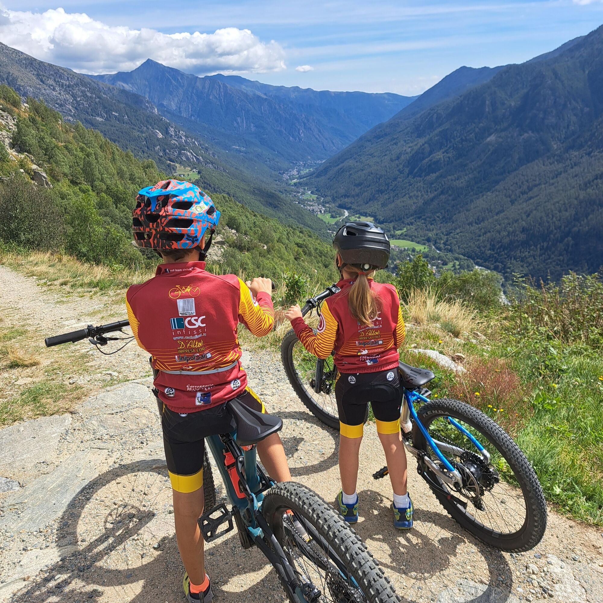
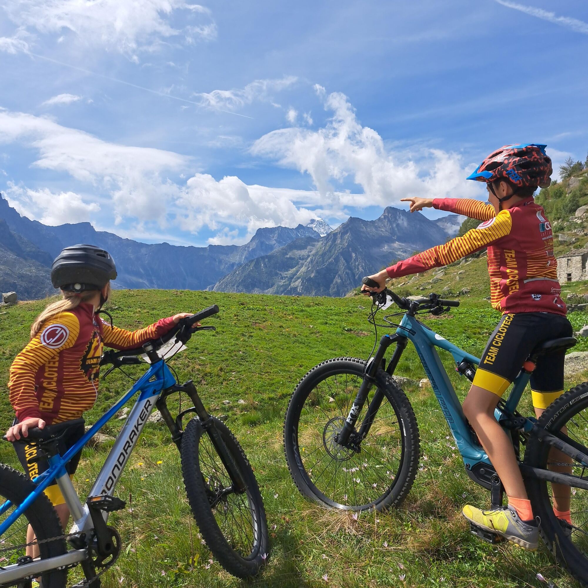

Type: Loop for e-bikes (or muscular MTB for experts)
Surface: Asphalt in the first section, then technical mule tracks, trails and mountain inter-farm roads
Ano
As the area is rich in "Gias" (mountain pastures) and fountains (as the very name of the highest point suggests), there is no shortage of water, but it is always good to refuel in Pialpetta before starting
The trail is classified as ebikeride, which suggests the presence of some uphill climbs or downhill passages that require good vehicle handling on uneven terrain.
In the summer period due to the presence of herds and grazing animals, pay close attention to tidal dogs and electric wires marking the grazing areas.
By Car (Recommended choice)
This is the fastest and most convenient way, especially if you have mountain gear or bicycles:
From Turin: Take the Tangenziale Nord and take the Venaria Reale or Caselle exit, following the signs for Valli di Lanzo.
Once in Lanzo Torinese, follow the signs for Val Grande (direction Ceres, then Groscavallo).
Pass the village of Ceres, continue along the valley through Cantoira, Chialamberto until you reach Pialpetta.
Travel time: about 1 hour and 15 minutes from Turin (about 60 km).
Pialpetta RV area
S1
The Bec di Mea is the photo point par excellence: its unmistakable silhouette dominates the entire middle section of the Val Grande.
This hike is perfect for those seeking a mix of physical commitment, technical views and local culture in one of the most authentic corners of the Lanzo Valleys.
Oblíbené prohlídky v okolí
- 5,0
CERESOLE REALE Bellagarda ponds
středníTuristika 7,60 km CERES Santa Cristina Loop
středníTuristika 7,84 km- 5,0
The Grand Méan lake via the Evettes circus
heavyTuristika 13,6 km - 5,0
BALME Green Lakes and Lago Paschiet
středníTuristika 7,51 km - 5,0
BALME Arnas Ring - Pian della Mussa
heavyTuristika 13,6 km - 5,0
LEMIE Ovarda Lakes loop
heavyTuristika 15,9 km NOASCA Loop to the Noaschetta refuge
středníTuristika 7,44 kmLake Dres - Ceresole Reale
středníTuristika 7,24 km- 5,0
Vie Storiche di Montagna | Colle del Nivolet
heavySilniční kolo 18,5 km - 5,0
Alta Via delle Valli di Lanzo | Stage 4 Rifugio Citt di Ciri - Rifugio Cibrario
heavyTuristika 12,0 km
Pěší turistika a stopování


Nenechte si ujít nabídky a inspiraci pro vaši příští dovolenou
Vaše e-mailová adresa byl přidán do poštovního seznamu.





