







ROCCA CANAVESE Alpe Bellono Big Bench Pratiglione and Forno Vineyards
Úroveň obtížnosti: S2
Departing from Rocca Canavese, continue toward Frazione Comba in Forno Canavese. Continue on asphalt and trails to reach the Carella hamlet of Pratiglione. The real climb begins when you enter the forest...
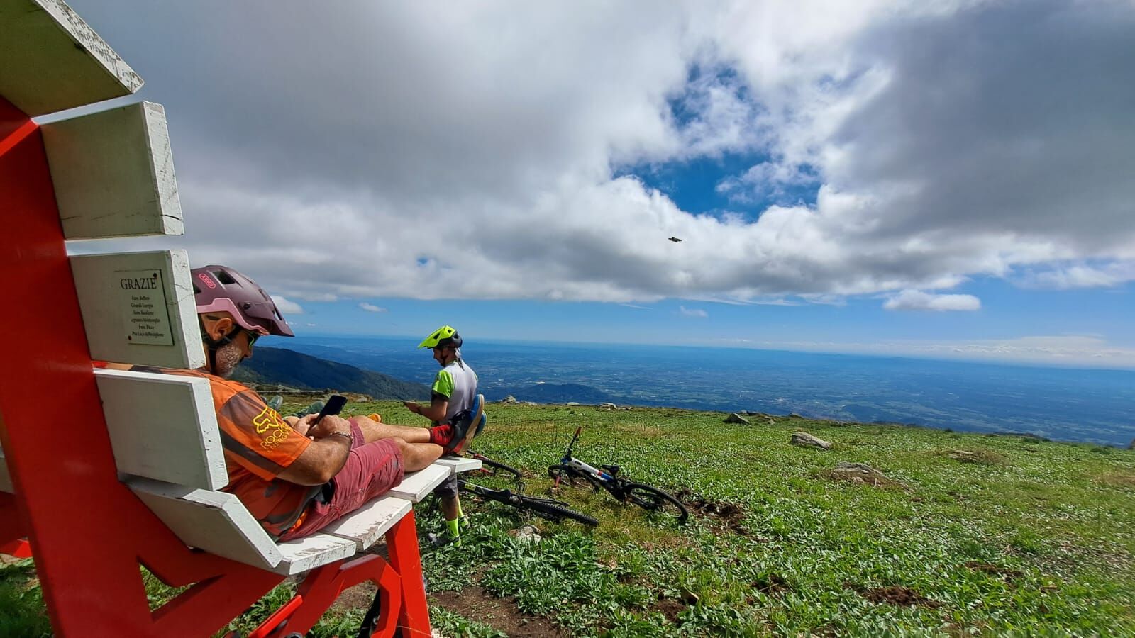
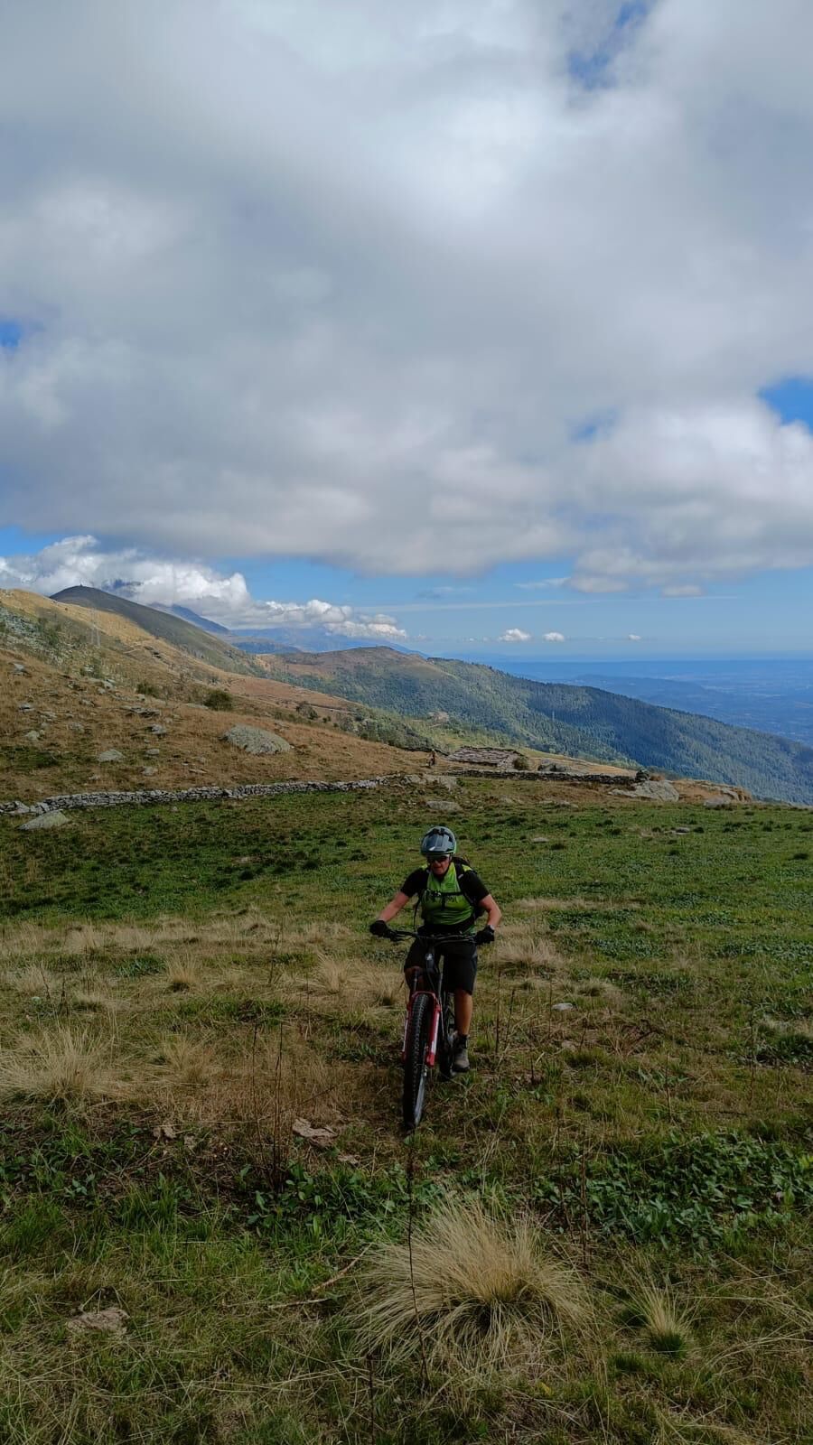
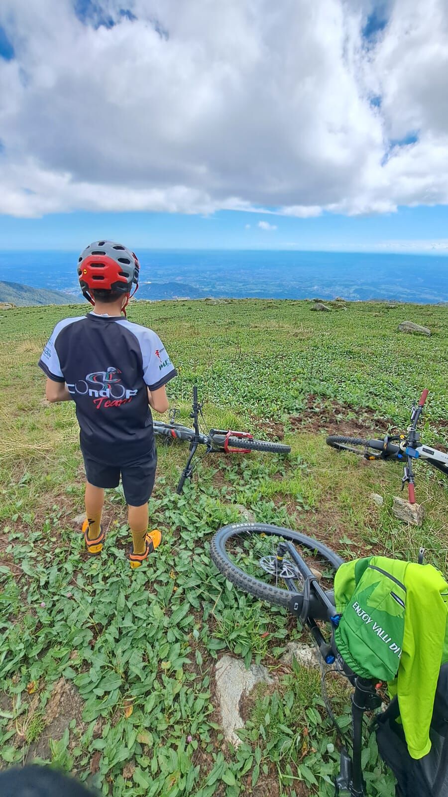
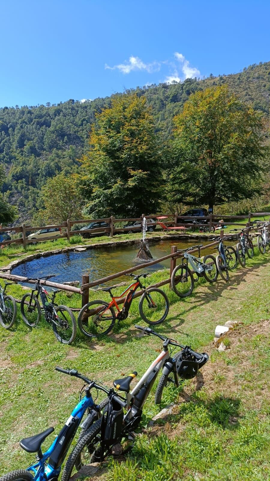
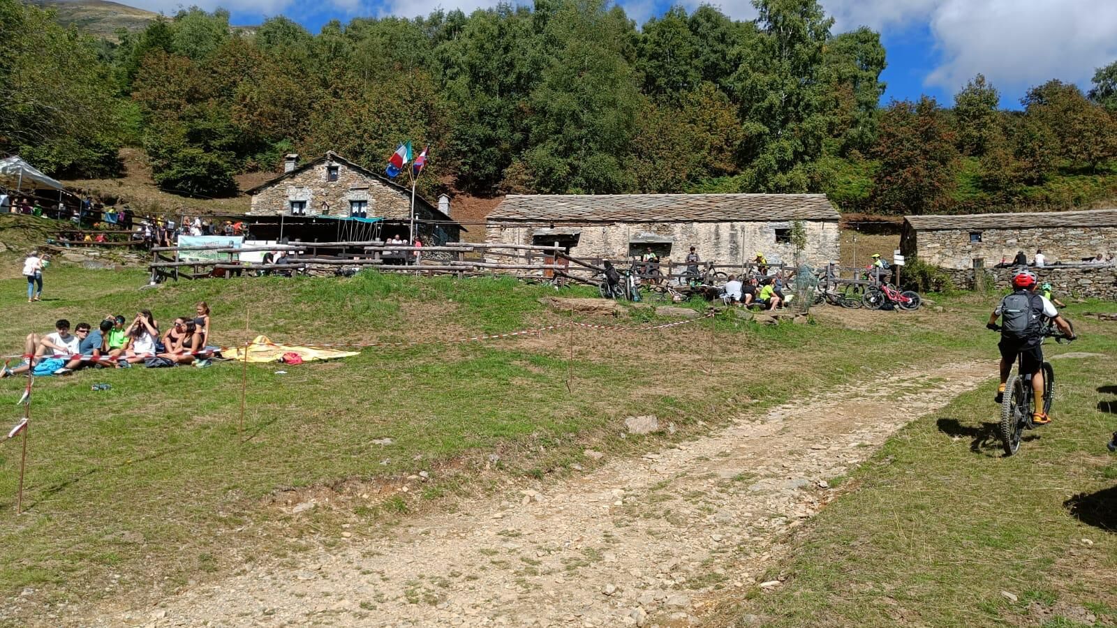
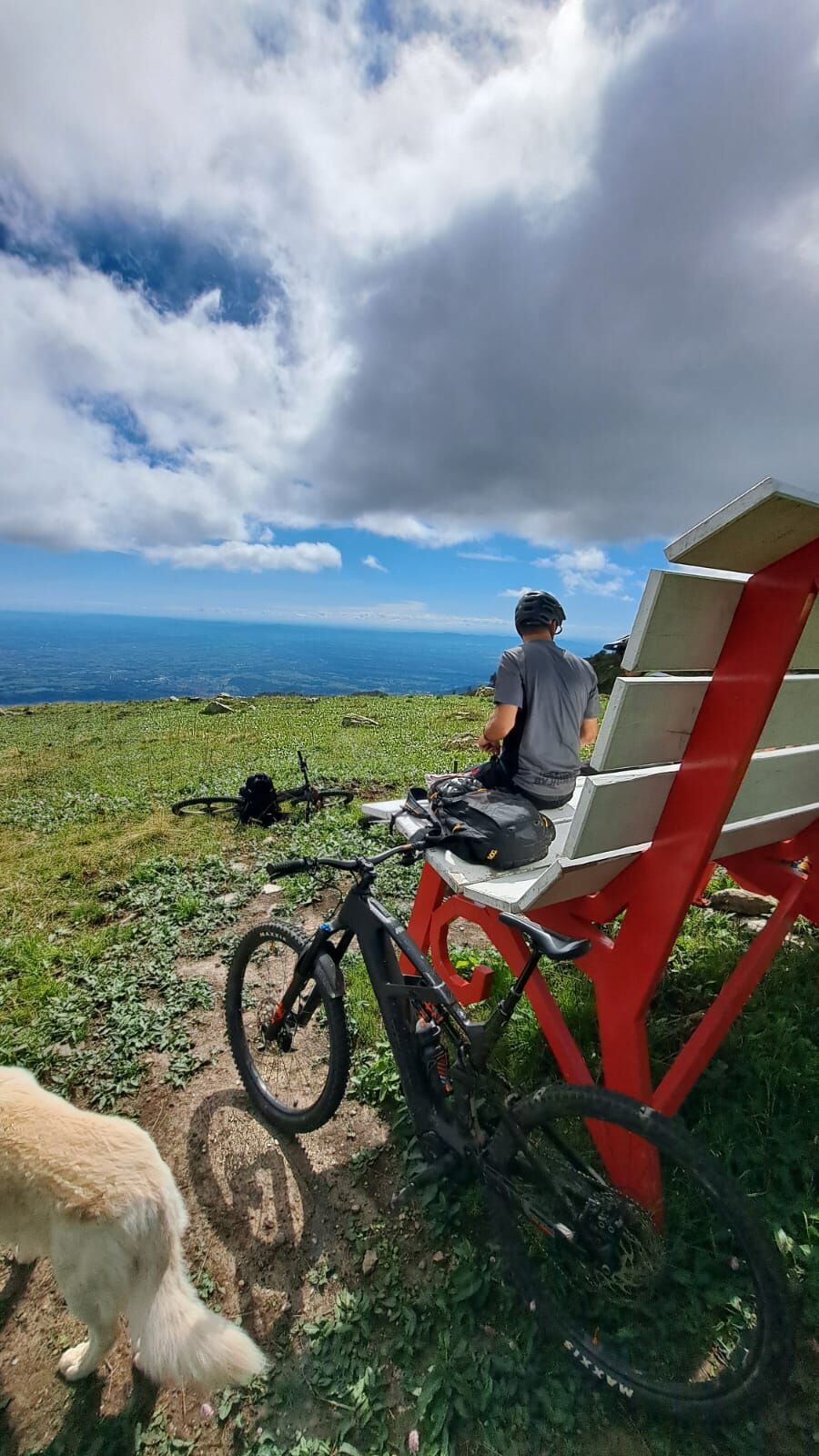
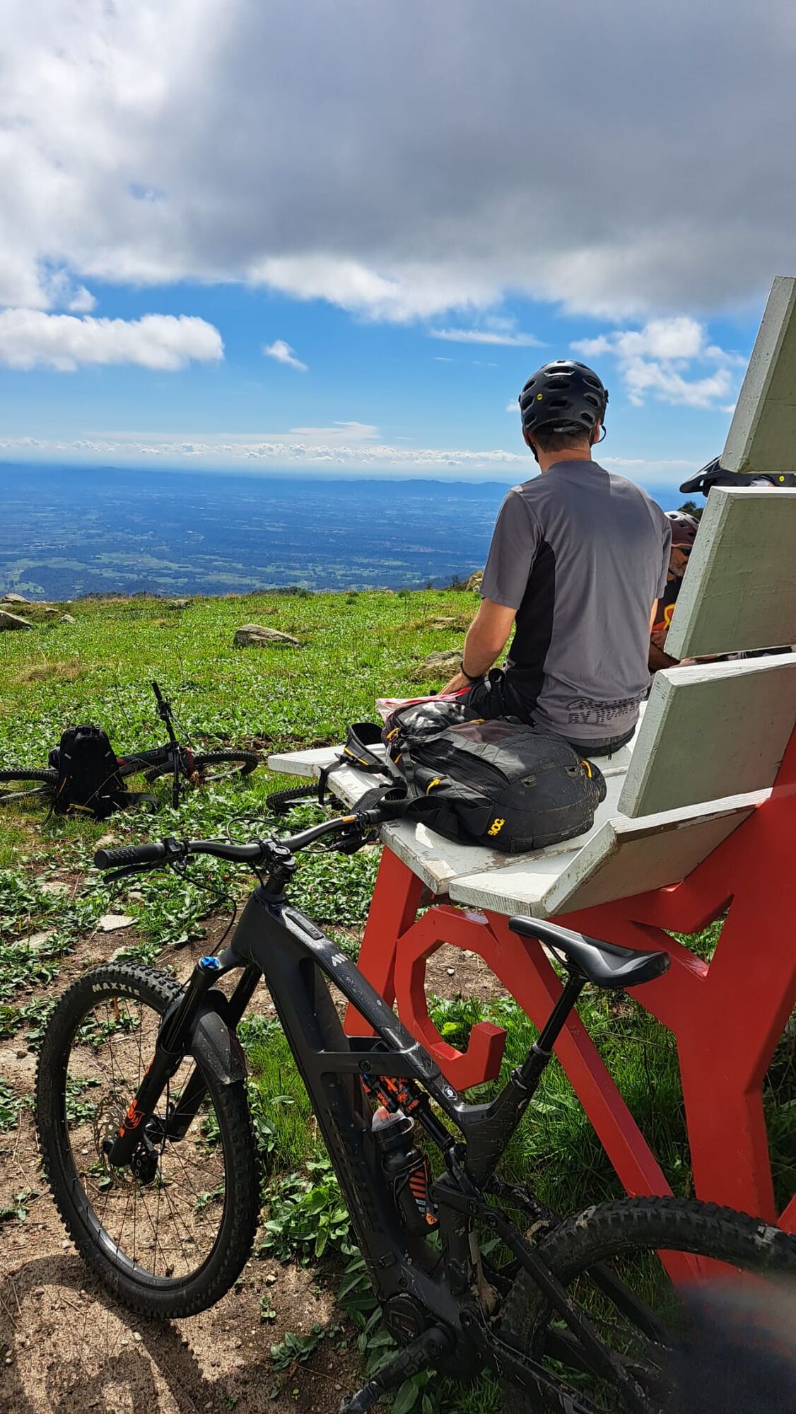
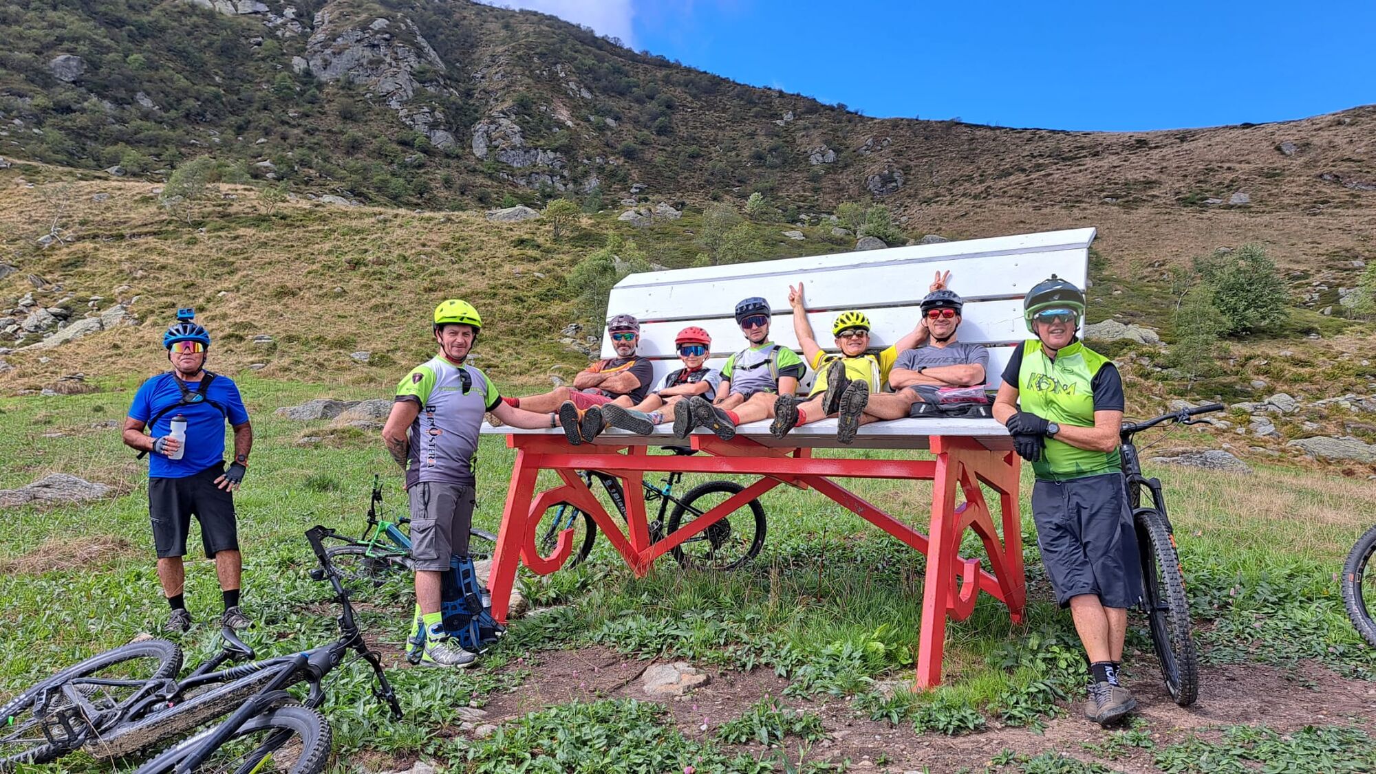

Highest point: Alpe Bellono (about 1150 m a.s.l.) or as per trail Big Bench Pratiglione (about 1500 m a.s.l.) for experienced cyclo-hikers
Positive elevation gain: about 950 - 1000 meters total (about 1400 with arrival at BB Pratiglione)
Type of terrain: Mixed. Secondary asphalt for the exit from Rocca and the crossing of villages, compact forest and inter-farm dirt road for the ascent to the Alpe, and more technical trails (single track) in the descent variants
Difficulty: Medium/High (BC) for the physical commitment required by the constant slopes in the ascent to Alpe Bellono and greater in case of the BB of Pratiglione
.
Equipment: Bring a good supply of water with you. Although there are water fountains in the villages (Rocca, Pratiglione, Forno), the uphill section to Alpe Bellono lacks refueling points
.
For a more immersive experience in safety, it is recommended to contact one of our MTB guides
By Car
This is the most practical means, especially if you need to transport bicycles:
From Turin: Take the Turin-Caselle Highway (RA10). Exit at Caselle and follow the SP2 in the direction of Ciriè. Continue past Ciriè and Nole, then follow signs to Vauda Canavese and finally to Rocca Canavese. The journey takes about 45 minutes (35 km).
By Train + Bike
You can use the SFM1 (Turin-Ceres) train line:
Get off at Ciriè or Nole station.
From there, you will have to continue cycling for about 10-12 km on hilly back roads (very pleasant) to get to Rocca Canavese. This stretch can serve as an excellent warm-up before tackling the climb to Alpe Bellono.
3. By Bus
There are GTT suburban lines that connect Turin (Terminal at Via Fiochetto or Porta Susa) with Rocca Canavese, often with a change in Ciriè. However, as with other hamlets in the area, transportation of mounted bicycles is not always guaranteed and depends on trunk space.
I recommend that you leave your car near the city center.
S2
EXPOSURE: The trail is mostly south/southeast facing, making it perfect for mid-season. In midsummer, the lower part between the vineyards can be very hot
.
The Panorama from the Alpe: Alpe Bellono is considered one of the best vantage points for admiring the transition from the plains to the Graian Alps.
Oblíbené prohlídky v okolí
-
CERES Santa Cristina Loop
středníTuristika 7.84 km -
ALPETTE Monte Soglio and cima Mares from Balmassa
středníTuristika 10.9 km -
MONASTEROLO Ca' Bianca and Big Bench
světloTuristika 4.13 km -
GPR - Giroparco Gran Paradiso
heavyTuristika 100.4 km -
5.0
ROCCA CANAVESE Madonna della Neve - Bandito Chapel
středníTuristika 12.4 km -
4.0
VALPERGA Sacro Monte di Belmonte Loop
středníTuristika 10.3 km -
COLLERETTO CASTELNUOVO Pian del Lupo - Quinseina di Santa Elisabetta
heavyTuristika 6.27 km -
CHIALAMBERTO Sanctuary Madonna del Ciavanis and roc d'le Masche from Vonzo
středníTuristika 6 km -
LANZO TORINESE Mulino Turcin loop
středníTuristika 10.3 km -
SPARONE The ancient mule track of Frachiamo and the Rocca di Sparone
středníTuristika 6.17 km
Pěší turistika a stopování


Nenechte si ujít nabídky a inspiraci pro vaši příští dovolenou
Vaše e-mailová adresa byl přidán do poštovního seznamu.





