







From Pino Torinese to Trofarello and Pecetto
34 km route with 720m of elevation gain, reserved for experienced cyclists and well-equipped mountain bikes.
The itinerary starts from Pino Torinese, at the foot of the hill where the Planetarium - Museum...
34 km route with 720m of elevation gain, reserved for experienced cyclists and well-equipped mountain bikes.
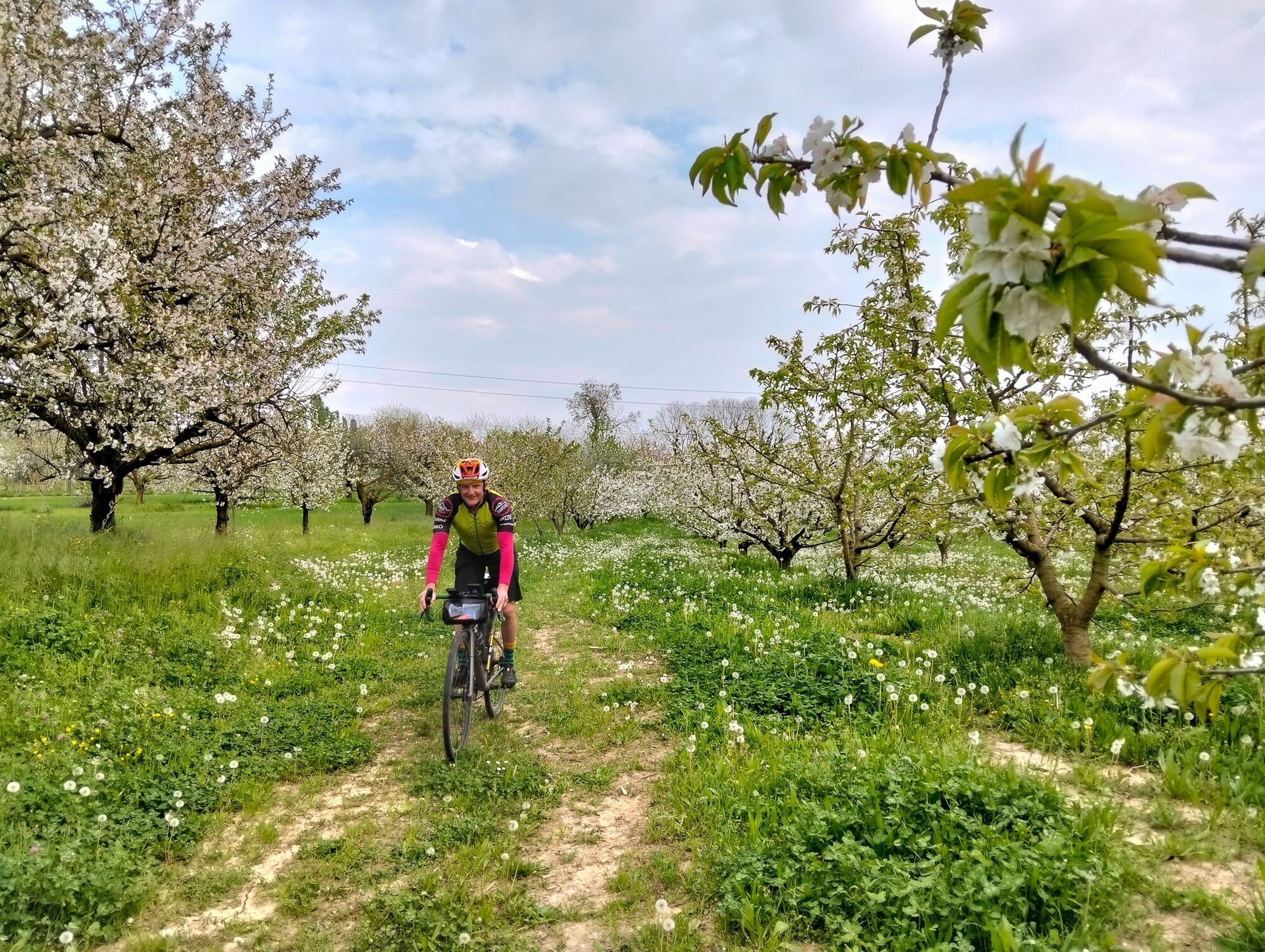
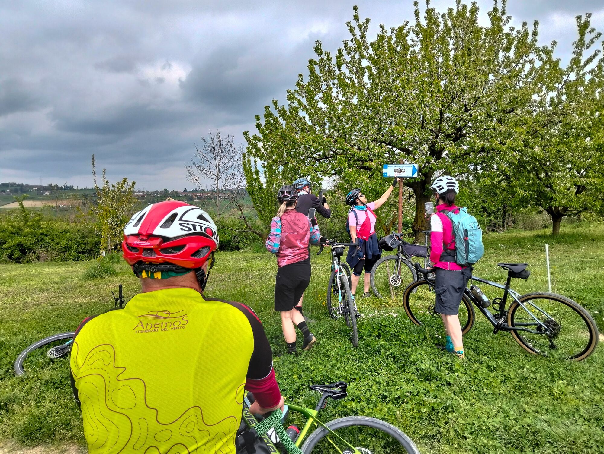
The itinerary starts from Pino Torinese, at the foot of the hill where the Planetarium - Museum of Astronomy and Space - and the Astronomical Observatory are located; panoramic trails, dirt roads, and secondary streets of Oltre Collina Torinese are crossed.
First stop at Trofarello, where you admire the medieval Castle and the ancient Tower, celebrating the famous local sour cherries.
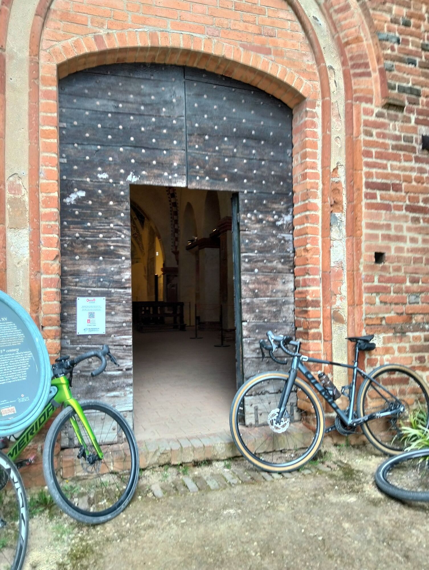
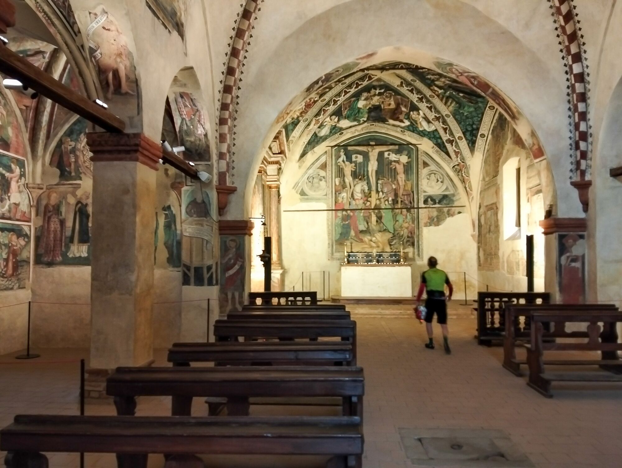
Then continue towards Pecetto, an architectural gem with the Church of San Sebastiano and renowned for its prized cherries.
The return towards Pino Torinese offers breathtaking views over the Po Valley and the Alpine arc.
Prepare for a journey through history, architecture, and the food and wine traditions of the area, where nature, culture, and genuine food blend into unique landscapes.
Good physical preparation and cycling technique are necessary to face the most challenging stretches among hillsides woods and vineyards.
Difficulty: challenging route - Only for experienced and trained cyclists


Oblíbené prohlídky v okolí
-
MONCALIERI - Biking on the water: Le Vallere and Valentino Park
světloJízda na kole 17.0 km -
CAMBIAN toward Riva presso Chieri
světloJízda na kole 22.8 km -
ANDEZENO - Panoramic loop towards Pino Torinese
středníJízda na kole 35.0 km -
TURIN - The tour of the Turin hillside on the "scenic road"
středníSilniční kolo 36.7 km -
Gran Gravel Tour in the Oltre Collina Torinese in 4 stages
heavyCyklistika na velkou vzdálenost 230.6 km -
CHIERI - Ring in the surroundings
středníJízda na kole 24.4 km -
Cycling in the round, in the Stupinigi Nature Park
světloCyklistika na velkou vzdálenost 14.9 km -
CHIERI - Ring toward Pavarolo, Montaldo T.se and Andezeno
středníJízda na kole 32.9 km -
How to get to Stupinigi Nature Park
Turistika 2.22 km -
Cycling in the Nature of Stupinigi
Jízda na kole 6.73 km
Pěší turistika a stopování


Nenechte si ujít nabídky a inspiraci pro vaši příští dovolenou
Vaše e-mailová adresa byl přidán do poštovního seznamu.





