







CASTELLAMONTE MTB loop in Valle Sacra
Úroveň obtížnosti: S1
The route starts from the historic center of Castellamonte, passing alongside the characteristic Rotonda Antonelliana, to climb through the cobbled alleys under the San Martino Castle.
It continues with...
The route starts from the historic center of Castellamonte, passing alongside the characteristic Rotonda Antonelliana, to climb through the cobbled alleys under the San Martino Castle.
It continues with a short stretch on a paved road to reach lower Filia where the actual loop begins. You then cycle on dirt roads in the woods or secondary roads with some scenic passages alongside vineyards.
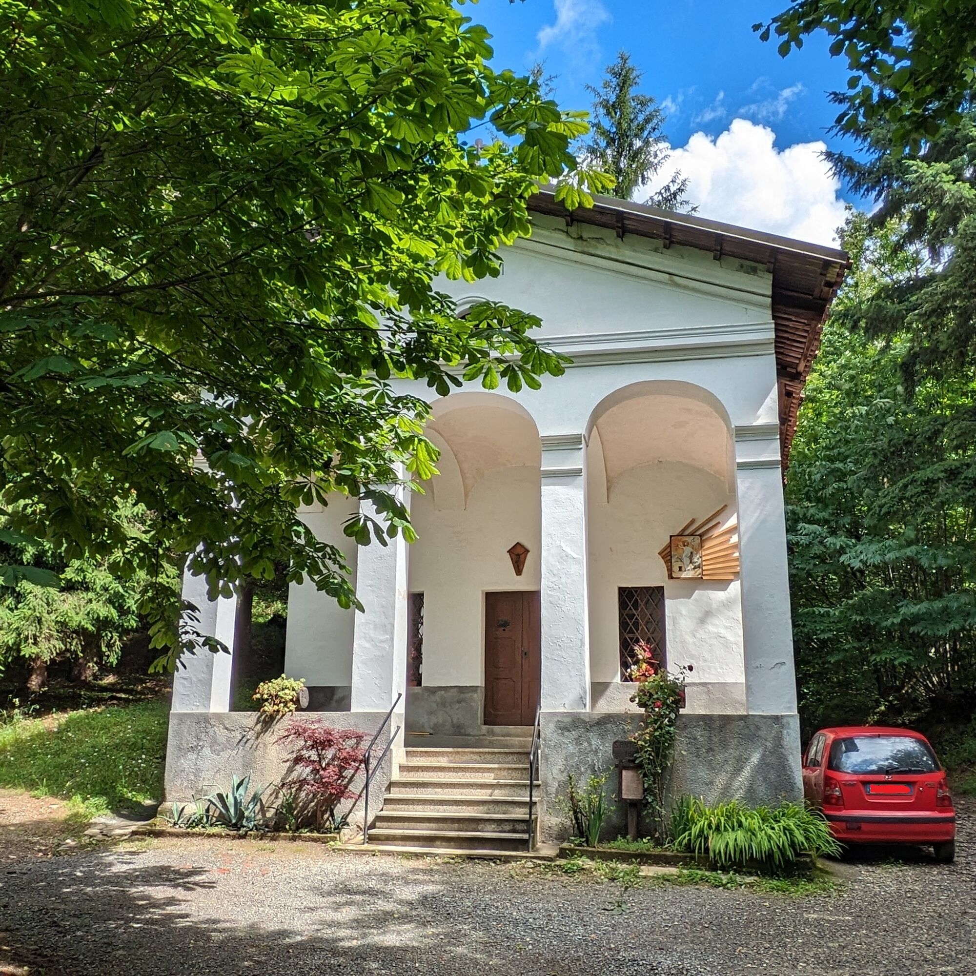
The highest part reaches the chapel of Sant'Antonio in Muriaglio, immersed in the woods. There are no particular technical difficulties; the dirt roads can be quite rough or muddy in rainy periods.

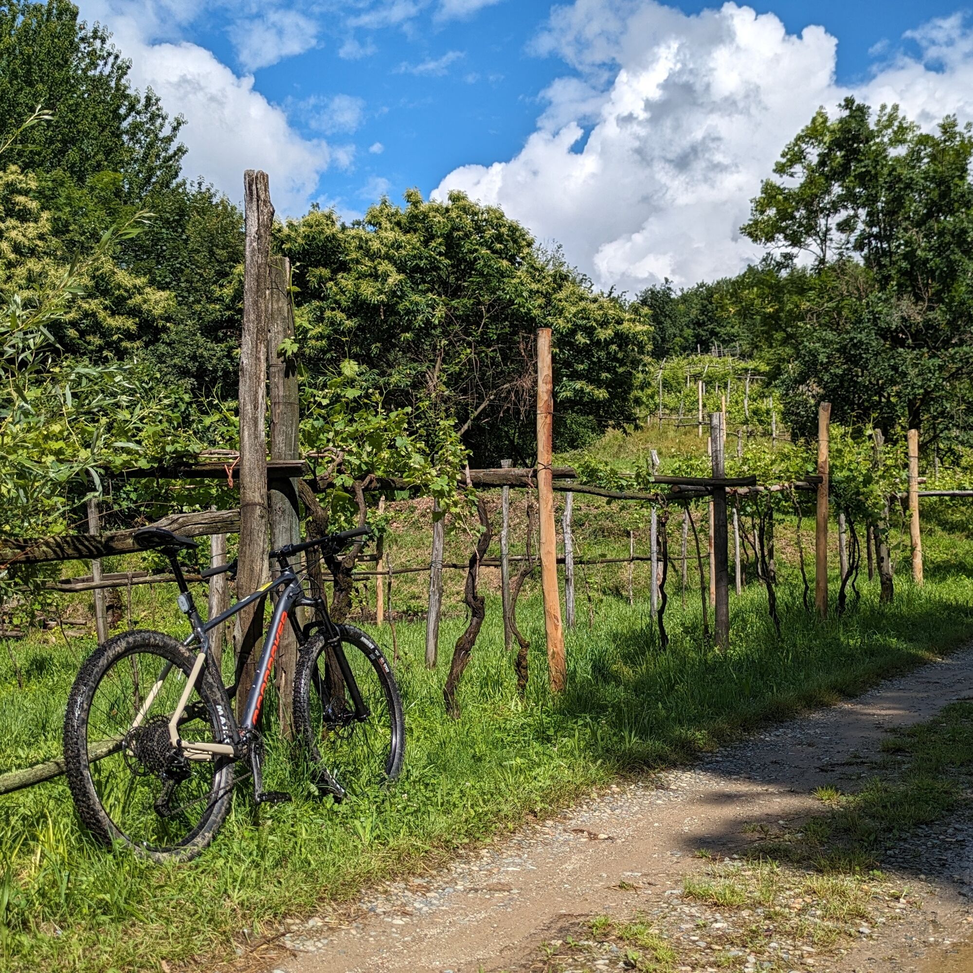
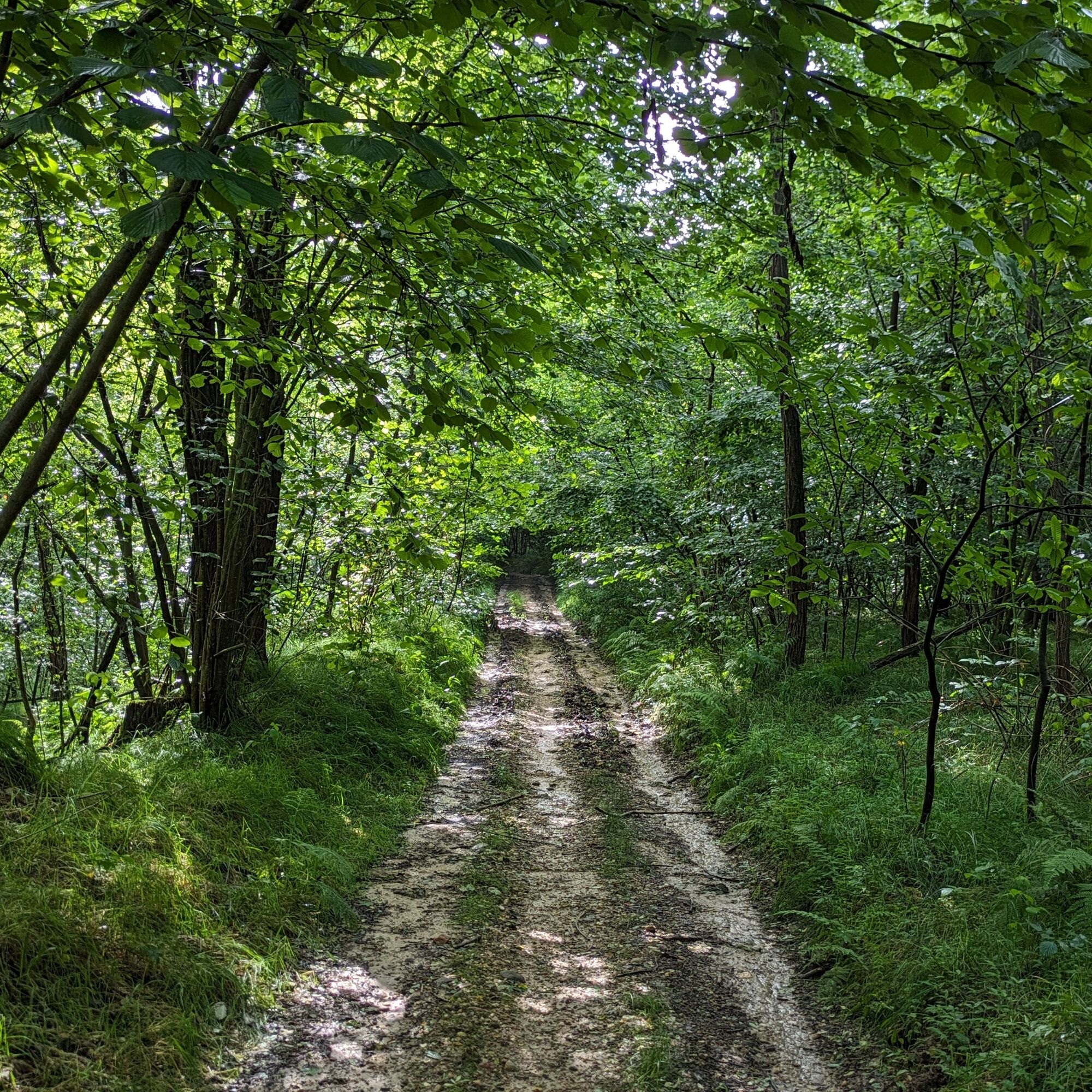
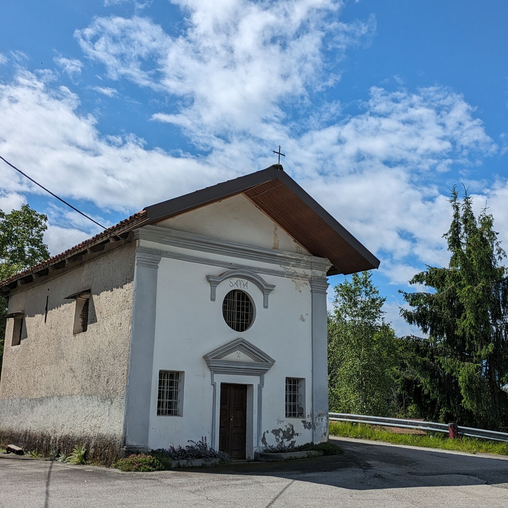
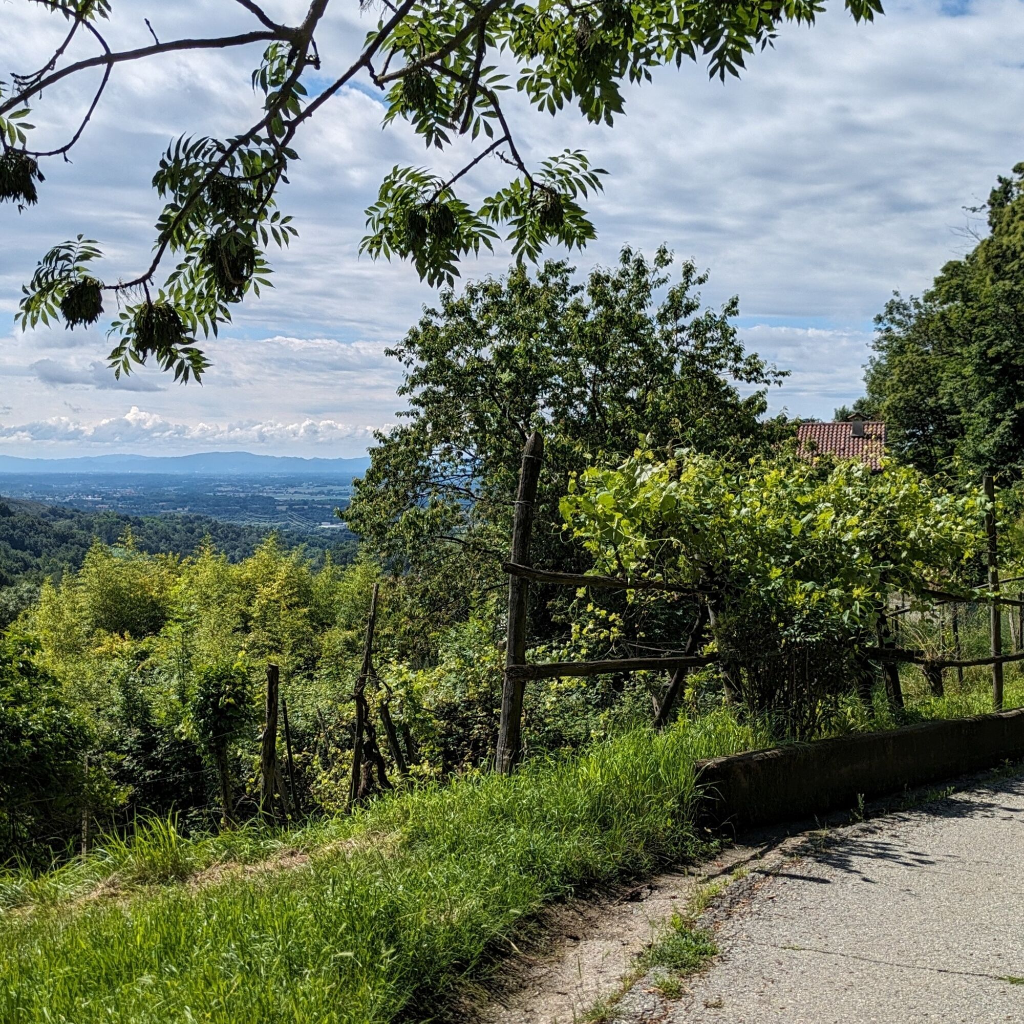
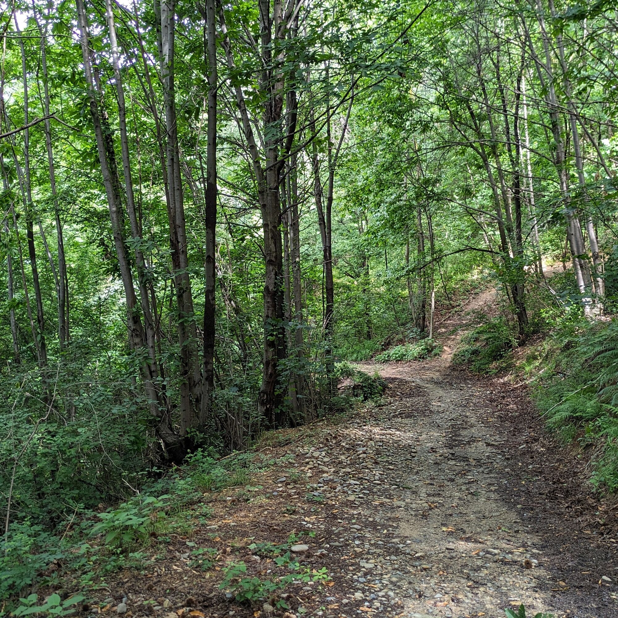
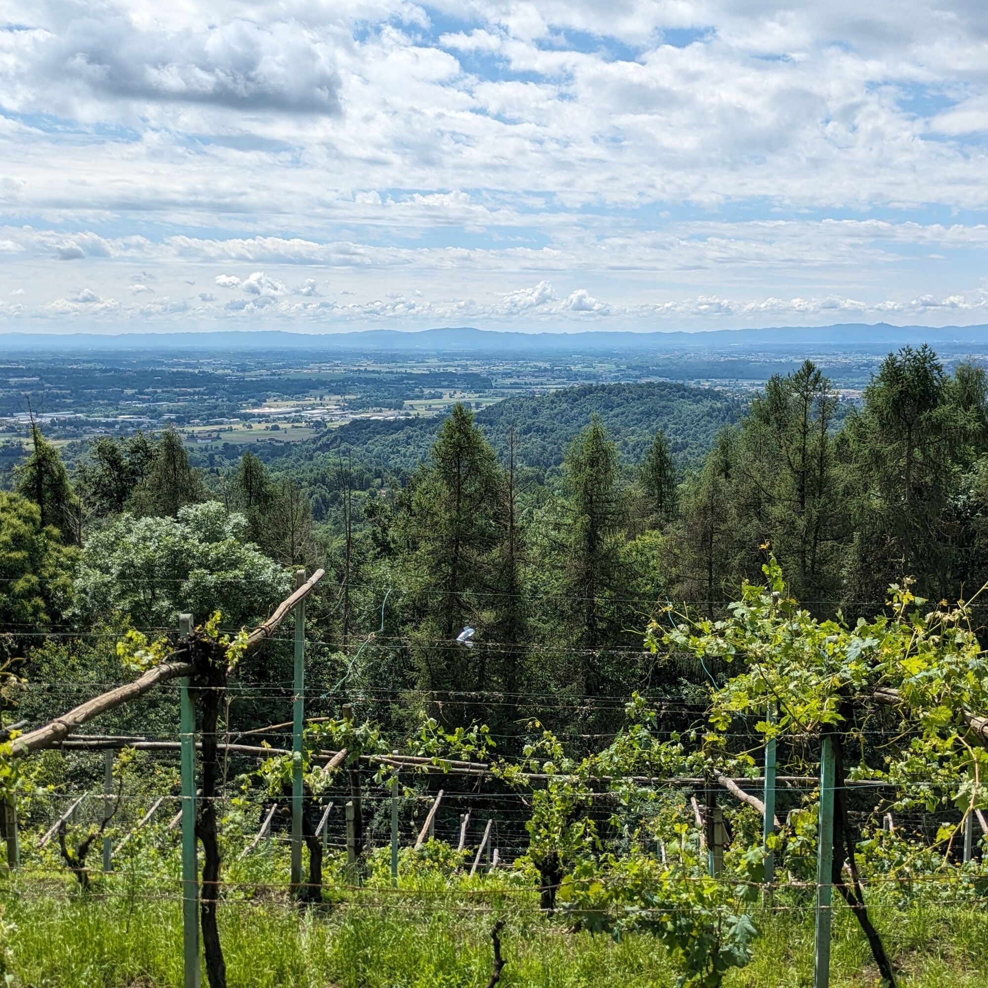
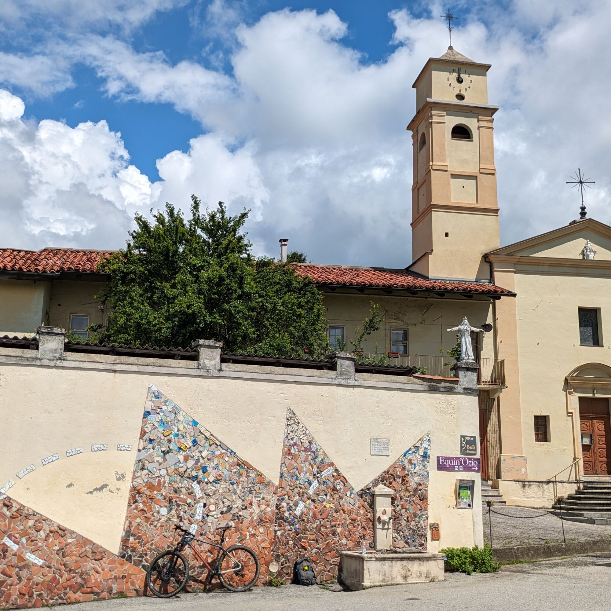
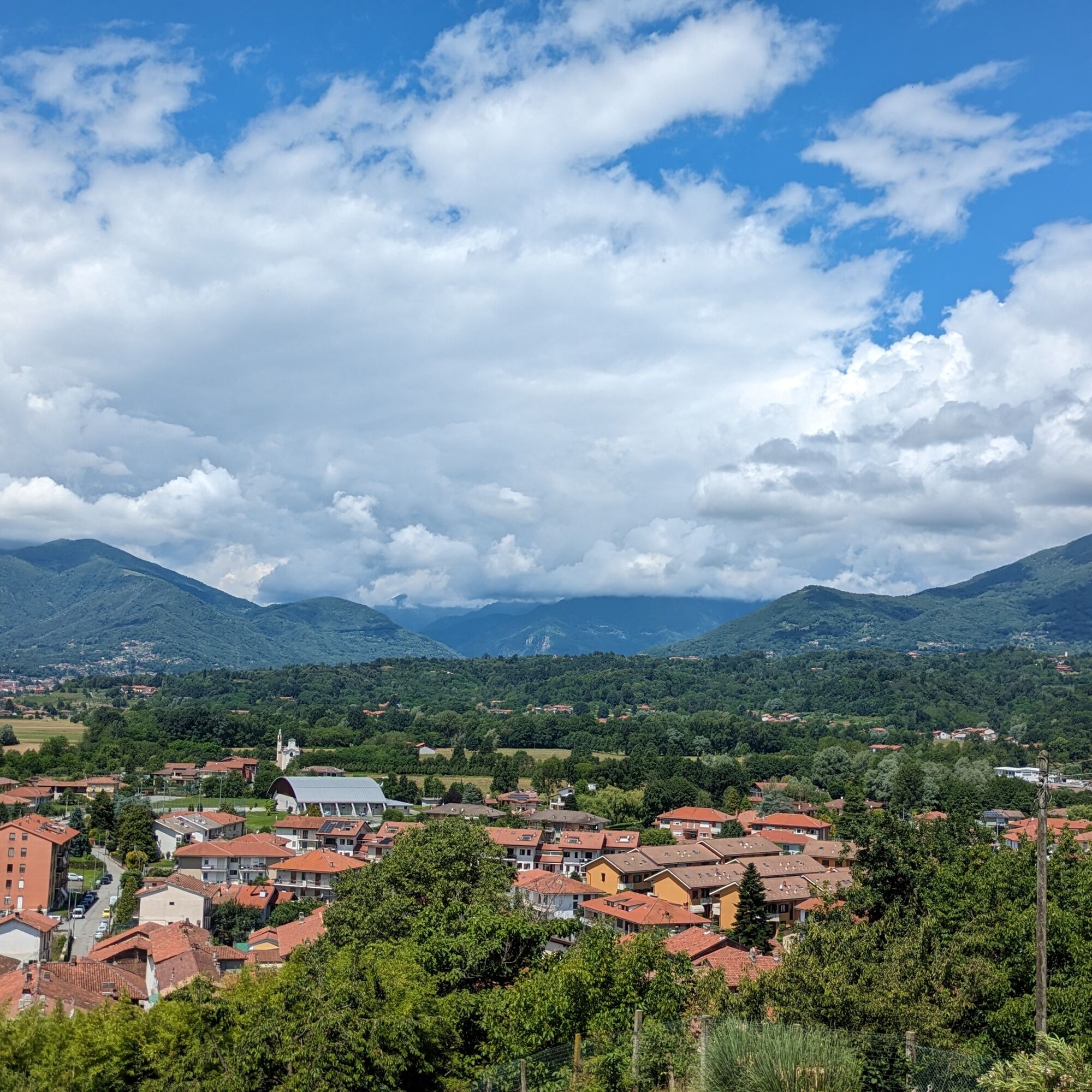

From the starting point, you enter the historic center and in Piazza Martiri della Libertà you go up on the cobblestones via Conti San Martino and then turn left onto Strada Castello, pass under an arch and end up on the road to Castelnuovo. Turn right onto the provincial road, continue on the road until the fork with the sign for Filia; at the next fork take the small road to the right and then immediately straight onto the dirt road in the woods. Follow the dirt road until you reach a paved road: pass between houses and continue on the paved road that turns left and ends on the provincial road just after a small bridge. Then turn left. After a long straight stretch, turn right at the fork. When the road levels out at the height of a high-voltage tower, take a dirt track on the left that climbs into the forest. Pass near some houses and vineyards. Then take a path on the left, narrower and muddy, and emerge on a road between houses that leads to the small church of Sant'Anna. Turn left onto the provincial road. Pass through the village of Campo and reach Muriaglio where you sharply turn left and go straight up to return to vineyards and fields. Then turn left on a dirt track in the woods. The path becomes Via Crucis up to the church of Sant'Antonio. There turn left: the route, after some ups and downs, ends on a paved road that goes left: pass between houses then turn sharply right. Follow all of Via Campo and then turn sharply right to climb onto SP 60. In the locality of Case Vigna, after a hairpin bend, turn left and follow the road until you reach the central square of Filia. Continue to descend on Strada Filia. You then reach the fork left earlier on the ascent: return to the starting point along the same route.
Bicycle helmet, bicycle pump, puncture repair kit, front light and reflectors, bicycle tools, bicycle backpack (about 20 liters with rain cover).
Appropriate outdoor clothing, resistant in multiple layers (e.g., functional t-shirt, cycling jersey, shorts, leg warmers and arm warmers), cycling glasses, gloves, sun and rain protection, snacks and drinking water, water bottle and comfortable holder, first aid kit, mobile phone, maps.
Make yourself visible when cycling on ordinary roads.
Convenient fountain in Filia, in the main square.
By car, the nearest highway exits (A5 - Turin - Aosta) are:
- San Giorgio C.se exit (12 km);
- Scarmagno exit (13 km);
- Ivrea exit (14 km).
Website: https://www.ativa.it
There are also several bus lines managed by GTT: visit the GTT website for schedules and stops.
The nearest train station is in Rivarolo (8 km), connected with Turin by the SFM1 railway line (visit the metropolitan railway service website of Turin).
Large parking lot on Via Caneva, near the start of the route.
S1
For all tourist information, consult the web portal Turismo in Canavese.
Before undertaking any excursion, it is advisable to check the weather reports or ask for information at the local Tourist Offices.
It is good practice not to hike alone and always inform someone of your destination.
Do not litter but carry your waste with you, also picking up any left by others.
At the end of the excursion, treat yourself to a visit to the historic center of Castellamonte, with the beautiful Rotonda Antonelliana, the alleys, and the churches.
Získejte přehled Vždy živě na místě s více než 9 500 webkamerami. bergfex Jako uživatel Pro si nyní můžete zobrazit odpovídající webové kamery pro mnoho prohlídek v aplikaci prohlídky z. Můžete si tak přímo prohlédnout aktuální podmínky. Oblíbené prohlídky v okolí
- 5.0
VALCHIUSELLA Loop Fondo - Tissone - Tallorno
středníTuristika 5.08 km - 4.0
TRAVERSELLA Souls and Transhumance Path
středníTuristika 10.0 km BALDISSERO CANAVESE The Monti Pelati nature reserve
středníTuristika 7.19 km- 4.0
VALPERGA Sacro Monte di Belmonte Loop
středníTuristika 10.3 km RUEGLIO Cima Bossola from the Cima Bossola refuge
středníTuristika 3.79 kmCOLLERETTO CASTELNUOVO Pian del Lupo - Quinseina di Santa Elisabetta
heavyTuristika 6.27 kmVALCHIUSELLA Lakes of Alice Superiore and Meugliano
světloTuristika 7.99 kmMONTALTO DORA Terre Ballerine - In search of Lake Coniglio
světloTuristika 5.35 kmSPARONE The ancient mule track of Frachiamo and the Rocca di Sparone
středníTuristika 6.17 kmPunta Arbella from Campidaglio
středníTuristika 6.29 km

Pěší turistika a stopování


Nenechte si ujít nabídky a inspiraci pro vaši příští dovolenou
Vaše e-mailová adresa byl přidán do poštovního seznamu.





