







SESTRIERE Soleil Boeuf Tour
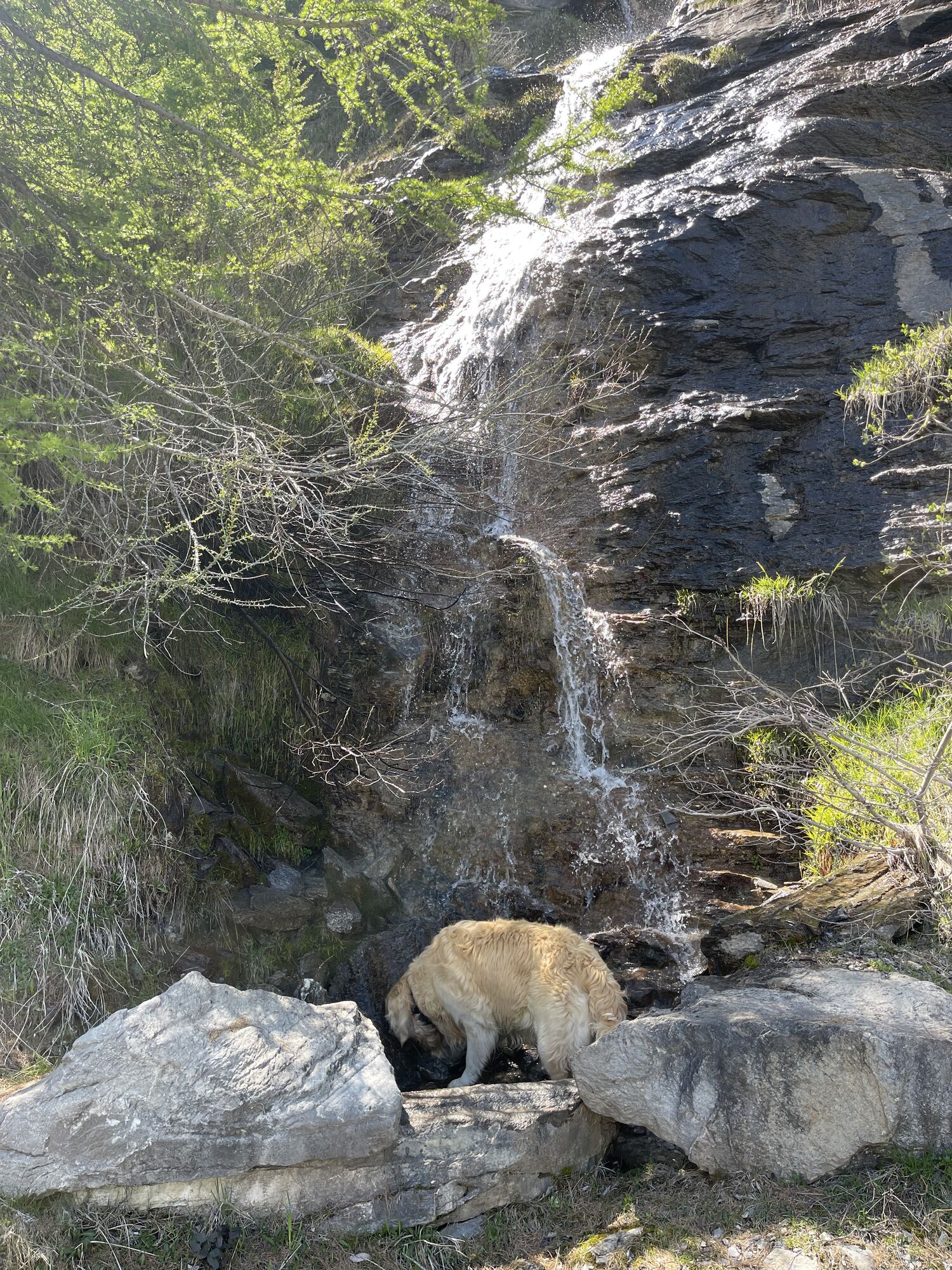
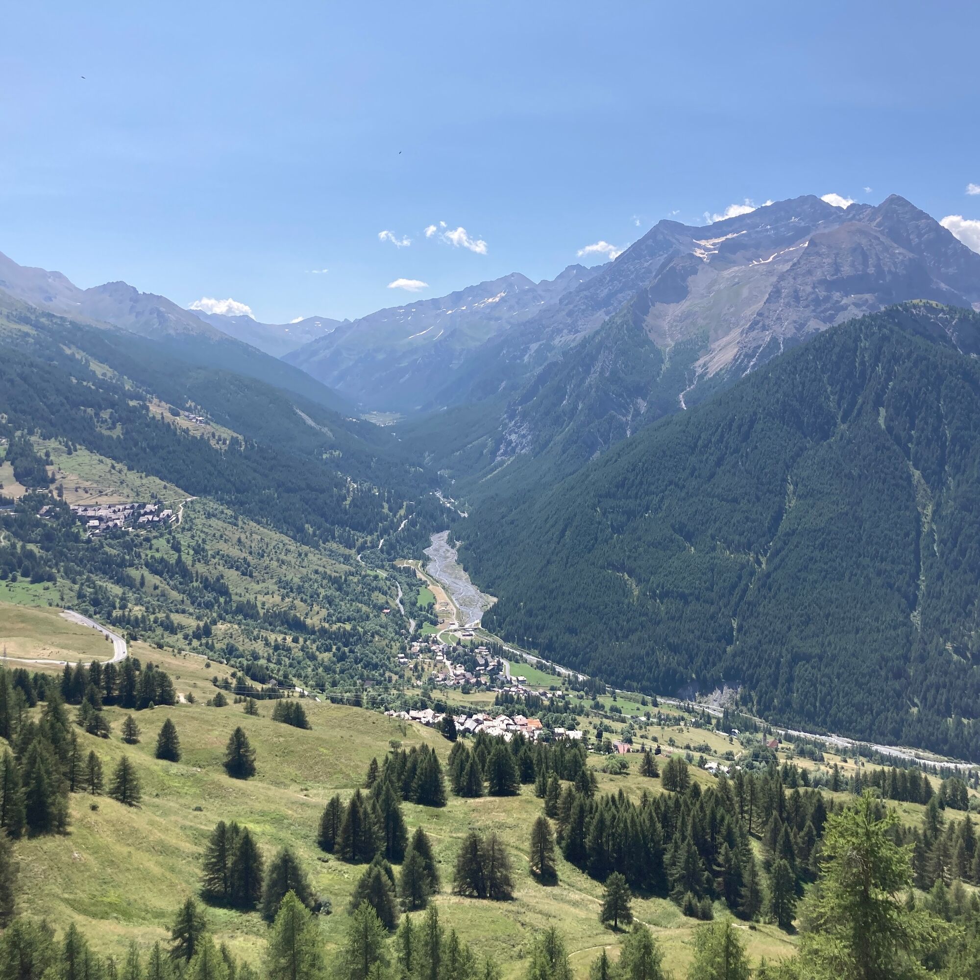
Loop route starting from Sestriere, moving to the Sansicario side of Monte Fraiteve and returning through the picturesque village of Champlas Seguin.
The first part of the route follows the Bordin Trail,...
Loop route starting from Sestriere, moving to the Sansicario side of Monte Fraiteve and returning through the picturesque village of Champlas Seguin.
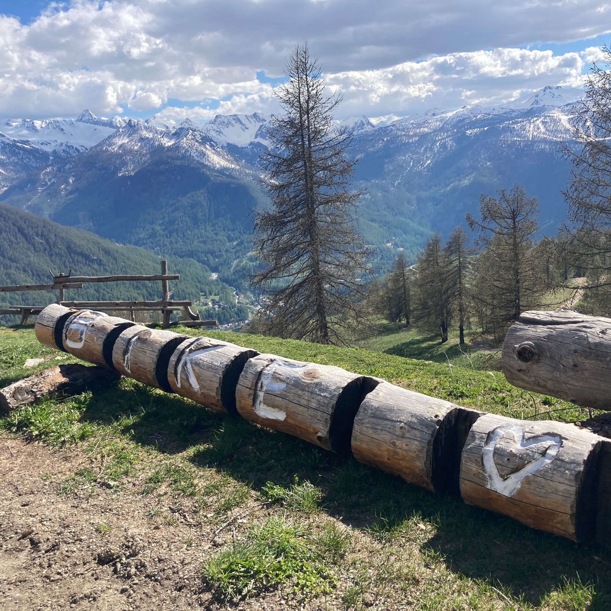
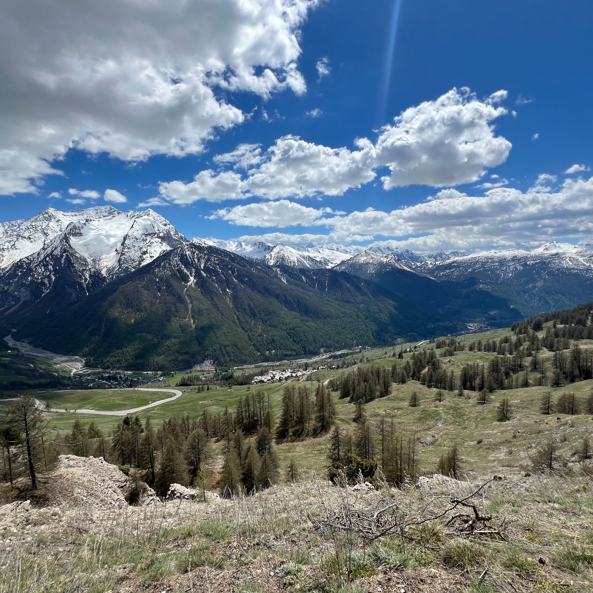
The first part of the route follows the Bordin Trail, a wide contour path built for training by the legendary racewalker, with a spectacular view of Sestriere. Upon reaching the locality of Soleil Boeuf, take the path to Sansicario, continuing downhill on a fun trail through meadows and larch forests, then continue along the contour path up to the village of Champlas Seguin, one of the most charming hamlets of Cesana Torinese. Staying on the trail, you reach the dirt road leading to Chalmettes, then shortly after, take the Gro Bial path back to Sestriere.
Technical advice by Gigi Lozzi - cycling tour guide

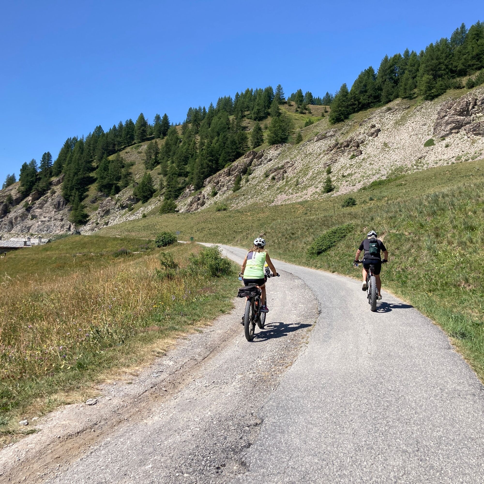

It is recommended to follow the loop in a counterclockwise direction
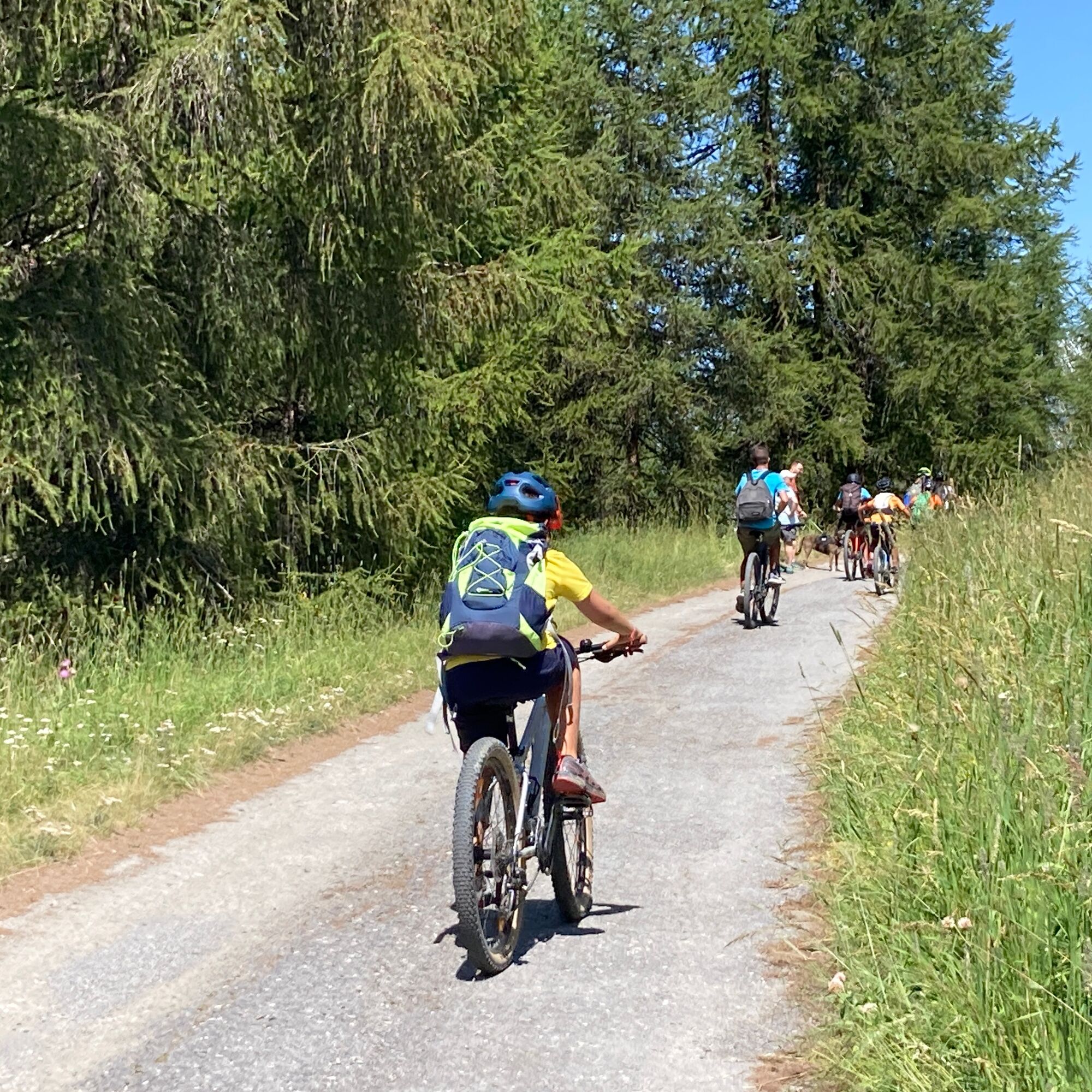
Route suitable for mountain bikes
Shared route with pedestrians, pay attention
Highway A32 Torino-Bardonecchia, exit Oulx, follow signs for Sestriere, or reach Pinerolo and follow Sp23R to Sestriere.
Nearby the start, Piazzale Kandahar
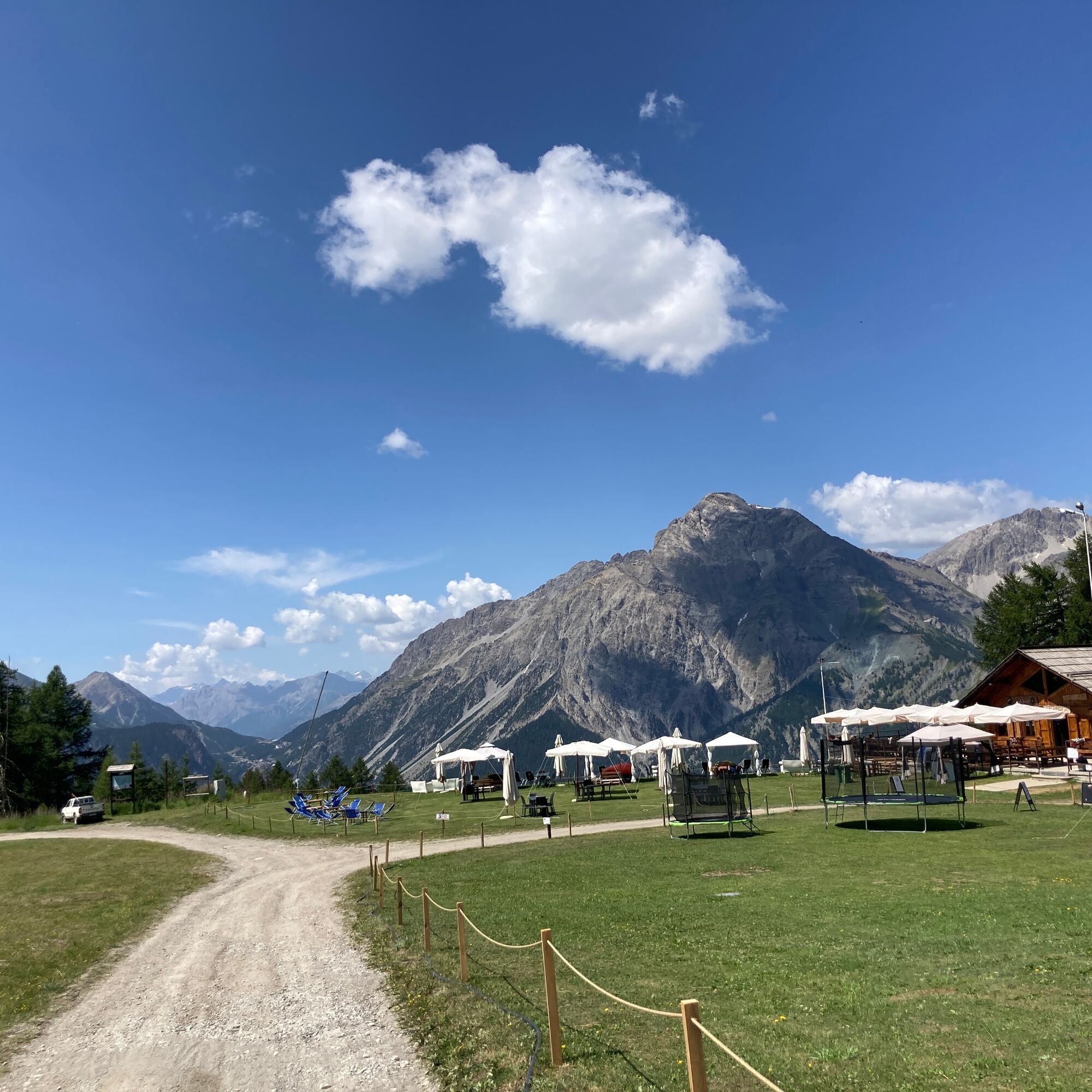
Besides Sestriere, along the route there are several refreshment options in mountain huts, chalets, and trattorias.
With a short detour, you can visit the remains of the Champlas Seguin Fort.
Získejte přehled
Vždy živě na místě s více než 9 500 webkamerami. bergfex Jako uživatel Pro si nyní můžete zobrazit odpovídající webové kamery pro mnoho prohlídek v aplikaci prohlídky z. Můžete si tak přímo prohlédnout aktuální podmínky.
Oblíbené prohlídky v okolí
-
5.0
BARDONECCHIA Forte Jafferau Loop
heavyMountainbike 36.8 km -
5.0
BARDONECCHIA Col des Acles - Passo della Mulattiera
středníTuristika 6.23 km -
BARDONECCHIA - Loop Colle della Scala - Col de Montgenèvre - Colle del Sestriere
heavySilniční kolo 91.9 km -
5.0
SESTRIERE Monte Rognosa
heavyTuristika 6.42 km -
BARDONECCHIA Monte Jafferau
heavyTuristika 11.6 km -
CESANA T.SE Lago Nero - Seven Colors Lake
středníTuristika 3.51 km -
5.0
CESANA T.SE Thures - Cima Bosco
heavySněžnice 3.94 km -
5.0
CESANA T.SE Cesana - Fenils
světloTuristika 4.60 km -
SAUZE D'OULX Richardette - Montagne Seu )
středníMountainbike 19.9 km -
OULX Borgata Seu (Gran Bosco Natural Park)
světloSněžnice 5.93 km
Pěší turistika a stopování


Nenechte si ujít nabídky a inspiraci pro vaši příští dovolenou
Vaše e-mailová adresa byl přidán do poštovního seznamu.





