







PRAROSTINO Circuit of the hamlets
The territory of Prarostino, suspended between Val Chisone, Val Pellice, and the Pinerolese plains, with its history and culture, conceals interesting places and surprising nature. Riding your bike, you...
The territory of Prarostino, suspended between Val Chisone, Val Pellice, and the Pinerolese plains, with its history and culture, conceals interesting places and surprising nature. Riding your bike, you can venture through countless trails and let curiosity take over among the hamlets clinging to the hillside, watching from above the municipalities of the plains.
From San Bartolomeo to Mount Castelletto, from Collaretto to Allamanda, then Pocapaglia, Gay, Colombini, Castel del Lupo. Our gaze sweeps over the well-maintained vineyards of "Prustinenc," then descends to Rocco and finally the steep climb from Massera to the panoramic point of Roc Cumbalesine. A continuous up and down between 400 and 800 meters in altitude, making the route fun and doable in every season of the year.
The itinerary is created and maintained by the "Sportivamente" association of Prarostino.
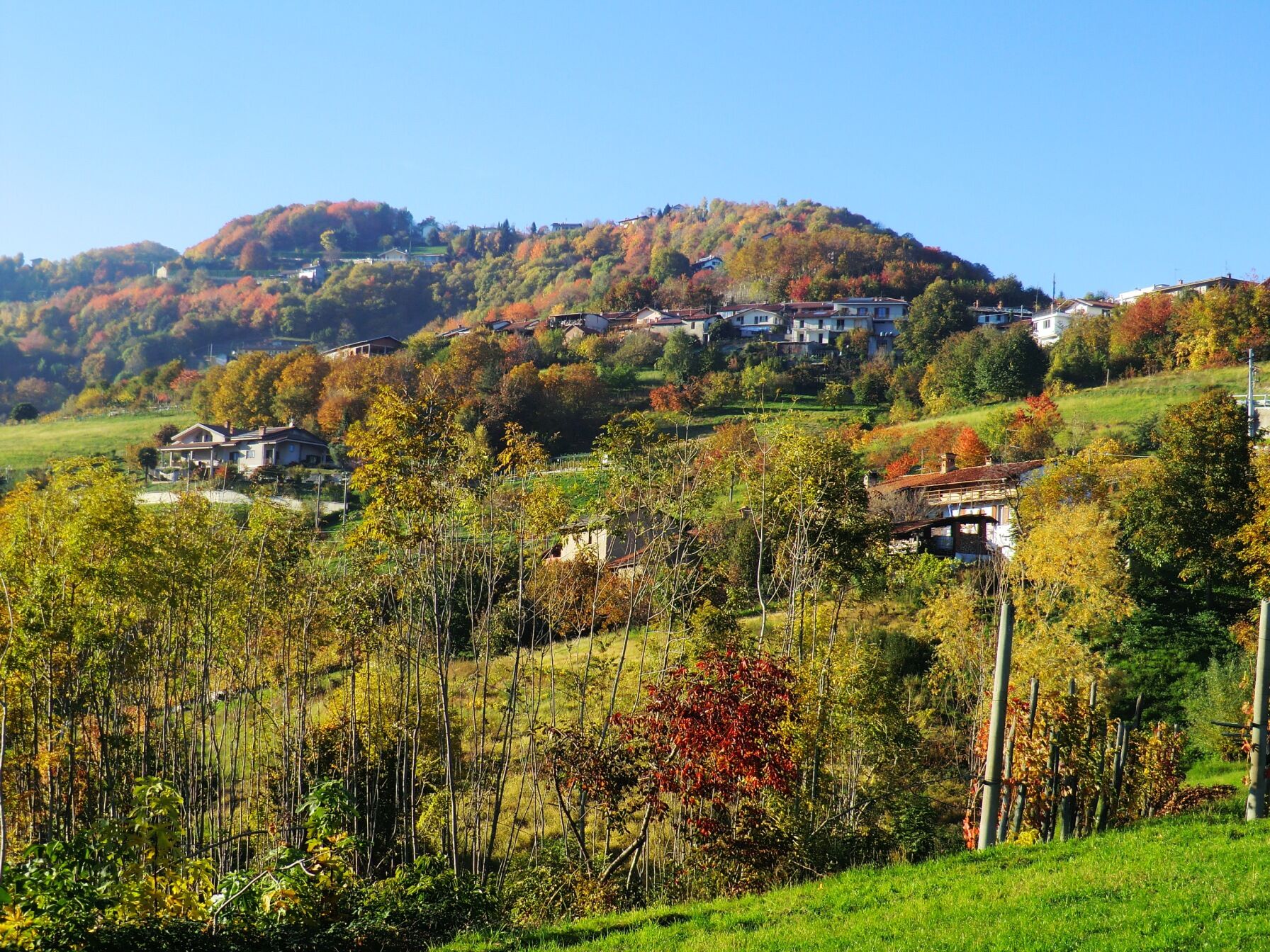
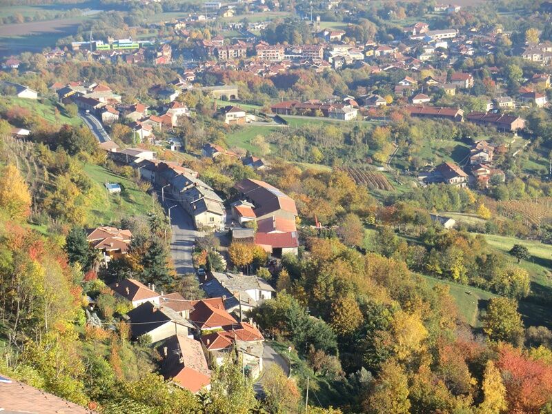
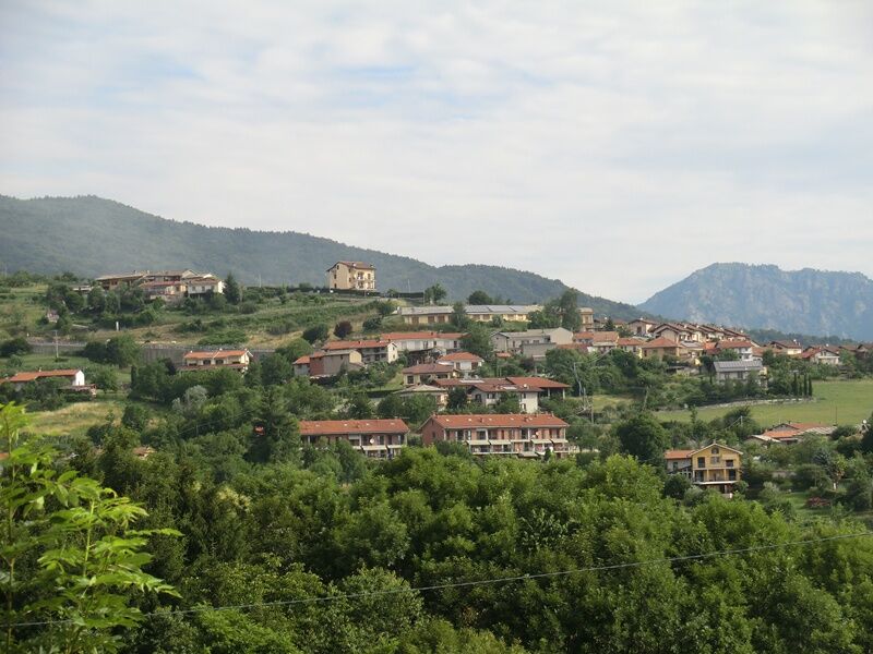
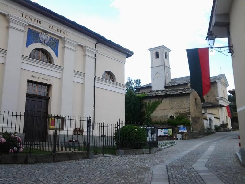

The starting point is San Bartolomeo in front of the town hall and, heading north, you proceed toward B.ta Grigli on a paved road. After a steep but short climb, you arrive at a left turn that takes you, along a white road, to the locality of Gelà. The route continues through the chestnut and beech forest along a simple and panoramic cycle path, circling around Mount Castelletto until reaching the fork for Collaretto. The road surface is very good, suitable for any bikers.
Continuing along the ridge of Mount Castelletto, you reach a fork which in two hundred meters takes you to the “Roca di Bauti.” From this interesting panoramic point, the view ranges from the beginning of the Val Chisone to Mount Orsiera. After enjoying this splendid landscape, proceed toward B.ta Collaretto. Upon arrival at the hamlet, take the paved road heading northeast toward B.ta Allamanda, which you reach after about 1 km among memorable beeches. In front of us is a balcony overlooking B.ta Gay and the valley entrance. A steep but short descent projects us into the woods, and heading south, proceed toward B.ta Pocapaglia along a beautiful trail through the forest. Take the asphalt road and turning left, continue toward B.ta Gay. About 500 m after the hamlet, there is a right turn and, still staying on the paved road, proceed for about 300 meters toward B.ta Baravaiera.
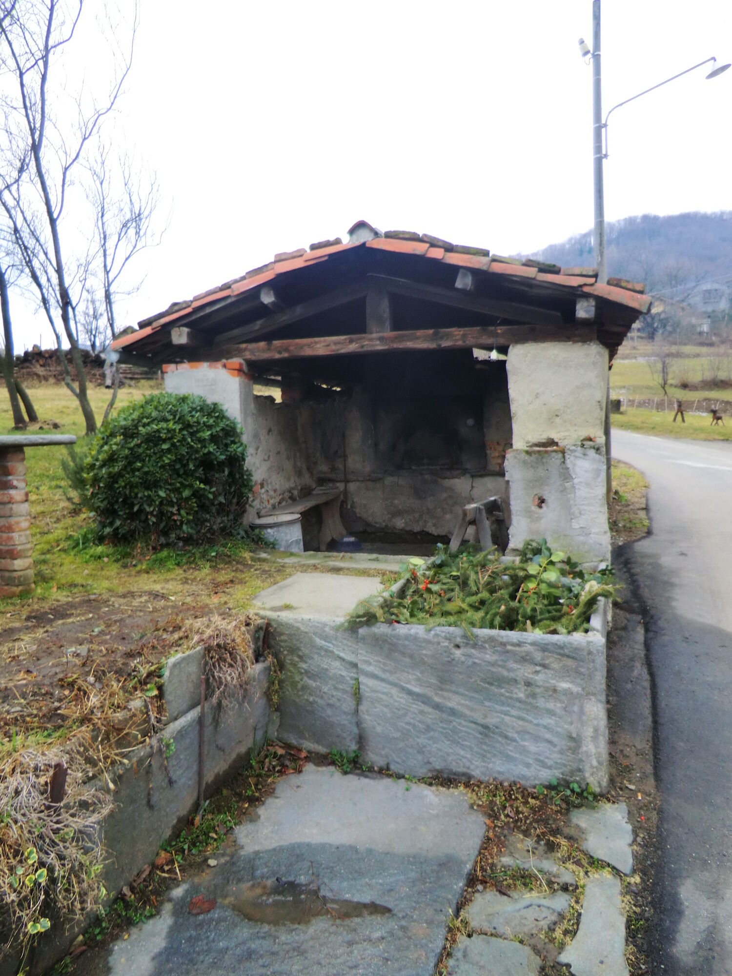
The short trail connecting us to B.ta Barina is fairly brief but challenging. After reaching the road above and continuing left heading south, you easily reach and pass B.ta Barina and enter another forest toward Colombini. The road becomes a track, and in some stretches, the slope becomes steep until reaching the locality Castel del Lupo. Crossing diagonally northwest toward Colombini, our gaze sweeps over the well-maintained vineyards of Prustinenc. From Colombini, on our left, there is a short but demanding path leading to the locality of B.ta Ser. A splendid and well-preserved washhouse takes us back in time when computers, cell phones, and washing machines did not exist and life was definitely harder than now.
After passing B.ta Ser, the road becomes paved, and a balcony overlooking the Pinerolese and Cavourese plains rewards the effort made so far. We reach the locality B.ta Rocco, about halfway through the loop. Descending on the provincial road for about 350 meters and paying close attention to the signs, we take a road on the right, reaching the locality Barbè. A challenging connecting trail takes us to Cavoretto, where a comfortable paved road crosses the village, leading us toward Massera road.
At this point, you enter the municipality of San Secondo, and following the paved stretch of Via Brusiti, we approach B.ta Moisa, where a steep and challenging climb, first paved and then dirt, leads us to the Roc climb. We cross and climb up Via Massera for about 80 meters, then resume the itinerary toward the hamlets Merle and Ramate to continue toward the panoramic point of Cumbalesine, reached after a demanding dirt track. The route is now nearing the end, and crossing the last chestnut forest, we reach B.ta Badoni, where a comfortable dirt road leads to the locality of Topi and then back to the starting point of San Bartolomeo.
Adequate clothing and equipment are recommended.
Before undertaking any excursion, it is recommended to check the weather bulletins or ask for information at local Tourist Offices.
It is good practice not to undertake an excursion alone; always inform someone of your destination.
Do not litter in the environment but take your waste with you, possibly collecting any left by others.
The indicated travel times are approximate and may vary depending on weather conditions and personal capability.
Upon arriving in Pinerolo via the A55 highway coming from Turin, follow the signs to Prarostino up to the main town San Bartolomeo
Train www.trenitalia.com
Bus www.torino.arriva.it and www.cavourese.it
At the main town San Bartolomeo, there are several free parking areas
It is possible to start the route also from the village of San Secondo di Pinerolo
Recommended direction of travel: CLOCKWISE
Bikeability: 100%
In the hamlet of San Bartolomeo, there is a free e-bike charging point and a bike maintenance totem with tools
Oblíbené prohlídky v okolí
-
5.0
Invincibles valley - Alpe Caugis
Turistika 15.3 km -
BRICHERASIO The Via della Pietra
světloCyklistika na velkou vzdálenost 11.5 km -
PINEROLO Route to Monte Muretto
středníTuristika 2.12 km -
TORRE PELLICE The Shepherds' Way
světloMountainbike 11.0 km -
TORRE PELLICE Naturalistic trail "The Jay"
světloTuristika 10.2 km -
PRAROSTINO From Piani to Sonagliette and back - SLOWLY TOGETHER
světloTuristika 6.60 km -
VILLAR PELLICE Inverso path
světloTuristika 5.62 km -
BOBBIO PELLICE Trail of the Invincibles
středníTuristika 19.1 km -
TORRE PELLICE Hike to Bars d'la tajola (and Monte Castlus)
středníTuristika 4.40 km -
LUSERNA S.G. Upslowtour - Angrogna Valley Ring 11
středníJízda na kole 35.0 km
Pěší turistika a stopování


Nenechte si ujít nabídky a inspiraci pro vaši příští dovolenou
Vaše e-mailová adresa byl přidán do poštovního seznamu.





