






Cycling Rice Fields - The Wine Hills

Úroveň obtížnosti: S4

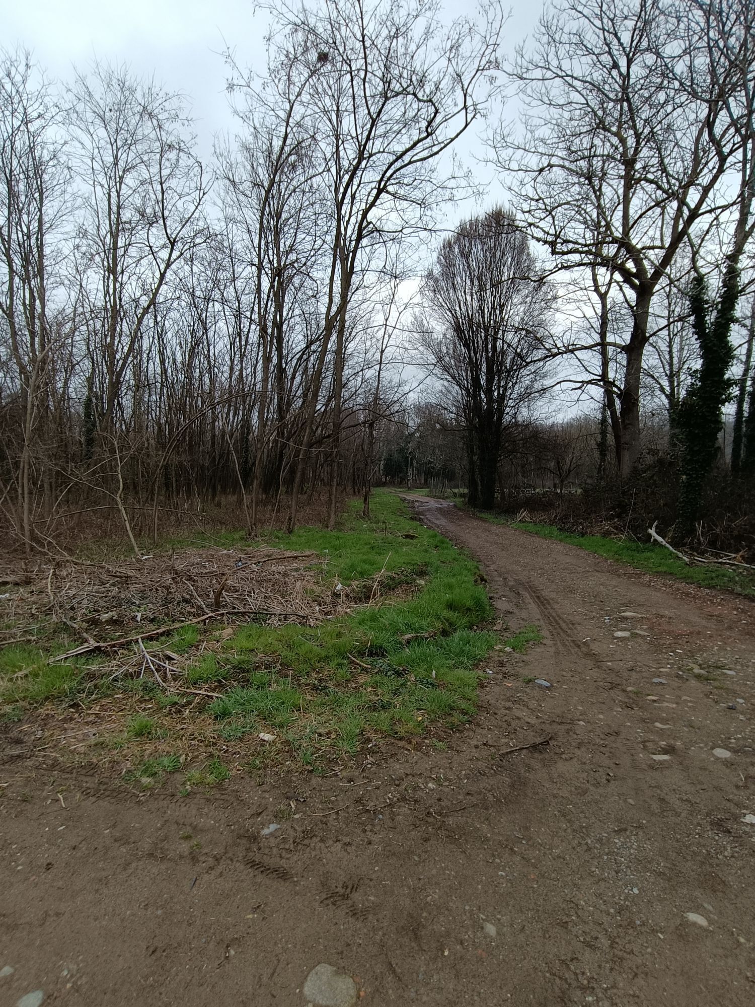
The low-impact environment favors the natural habitat for numerous birds such as herons, egrets, small birds of prey, which live and nest here. The hilly area offers a dual type of landscape: on one side...
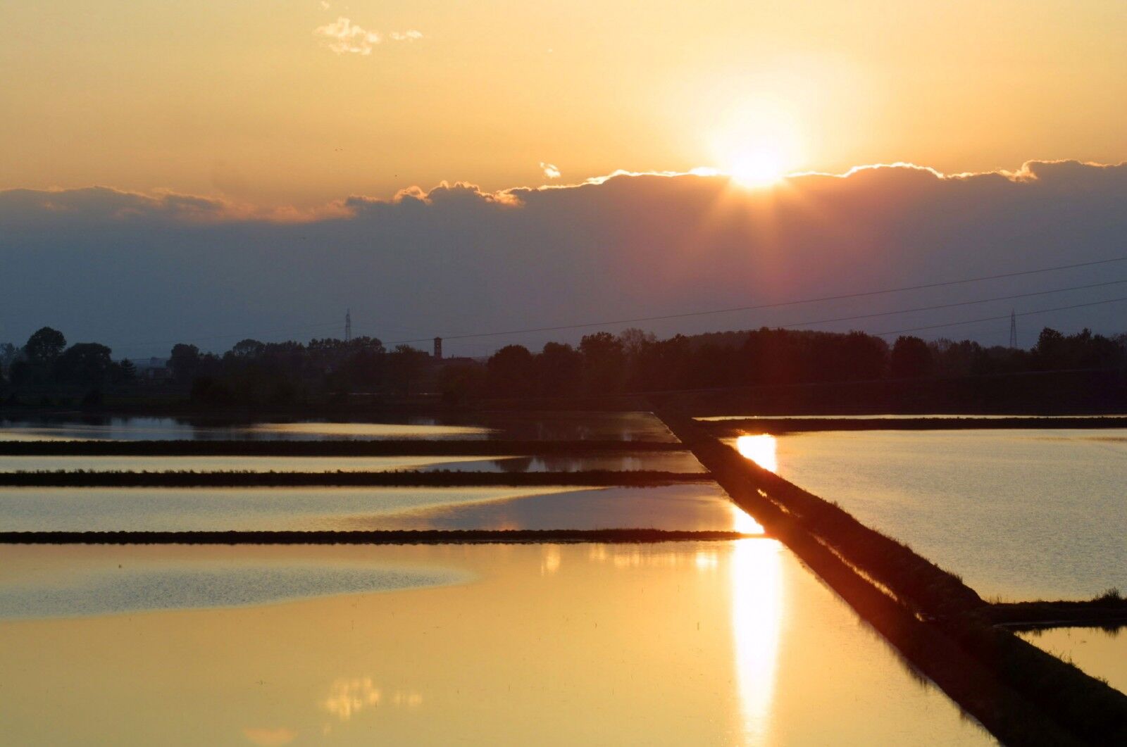
The low-impact environment favors the natural habitat for numerous birds such as herons, egrets, small birds of prey, which live and nest here. The hilly area offers a dual type of landscape: on one side the splendid views over the rice fields and on the other the gentle and sinuous hills of Monferrato. The route extends over a total length of 97 kilometers on a mixed surface of asphalt and fairly well-maintained dirt roads. The use of touring bicycles with gears and wide tires is recommended, although it is possible to travel the route with racing bikes by paying particular attention along the dirt sections. Check the brake efficiency to safely face the few but steep descents present. A fairly safe route, on roads with low motorized traffic, immersed in greenery and nature.


From the Vercelli railway station, take the overpass of corso Gastaldi and follow the signs to Olcenengo and Casanova Elvo, where you can admire the castle, dating before the 12th century, and the majestic church of S. Martino in the main square. Continue to Formigliana, taking time to observe the Monte Rosa massif that frames the ancient farmhouses along the road. Crossing the Cervo stream, proceed to Balocco, where it is possible to admire the 15th-century castle and the church of San Michele, inside which is preserved a triptych by Giovenone; then cross the towns of San Giacomo Vercellese and Rovasenda respectively, continuing on to Gattinara. A stop here is mandatory to visit the town and its surroundings, whose hills produce the namesake DOCG wine. The town center presents important historic and artistic buildings, such as the parish of San Pietro, dating back to the early medieval period, and the Castelle Tower, which dominates the town from the surrounding hills. Continue the route crossing the Sesia River and arriving at Romagnano Sesia by passing to the left riverbank and entering the territory of the Novara hills. Here you will successively meet Ghemme, Sizzano, and Fara, a hilly area known for producing excellent DOC wines. Moving closer to the Sesia, pass Carpignano and Landiona to reach the municipalities of Recetto and San Nazzaro Sesia, which respectively feature the historic village with the ancient castle and the 13th-century walls, and the abbey of Saints Nazario and Celso, an example of fortified medieval abbeys dating back to the 11th century. From here continue passing the municipalities of Villata and Borgo Vercelli, returning to the city of Vercelli.
Equipment suitable for bike excursions
Pay particular attention to road crossings
The city of Vercelli is easily reachable by car from the entire Piedmontese and national highway network
The city of Vercelli is easily reachable by public transport - Regional Buses and Trains
Public and paid parking available throughout the city area of Vercelli
S4
Download the GPS track from the link
www.openrunner.com/r/10752415
A very interesting route from a naturalistic and landscape perspective. The plain area with rice fields offers splendid views that change appearance during the different periods of the year, depending on the various stages of rice cultivation. It ranges from flooded fields, reminiscent of a checkerboard sea, to green rice paddies interspersed with flowers and lavender.
Oblíbené prohlídky v okolí
On the Hills from Cavallirio and Boca
světloTuristika 9.73 kmFrom Grignasco to the Crag of Ara
světloTuristika 6.94 kmIn the hills of Borgomanero
středníMountainbike 41.3 kmBicinVigna with Antonelli - Pink Itinerary
středníMountainbike 40.9 kmBetween the Sesia and the vineyards of the Novara hills
středníMountainbike 40.2 kmBicinVigna with Antonelli
středníMountainbike 25.2 kmGreen loop trail of Lake Orta
heavyMountainbike 50.4 kmTra le Colline e il Parco Fenera
heavyMountainbike 39.4 kmCiclabile della Valsesia: Tappa 1 Valduggia - Frazione Valmonfredo
středníCyklistika na velkou vzdálenost 7.21 kmMaggiora, Piemonte/Italia
Turistika 10.1 km
Pěší turistika a stopování


Nenechte si ujít nabídky a inspiraci pro vaši příští dovolenou
Vaše e-mailová adresa byl přidán do poštovního seznamu.





