







In the Ticino Park

From Novara to Galliate and to the Piedmont and Lombardy Ticino Park, along the cycle paths to discover places of particular natural and environmental beauty
Departure from the Terdoppio Sports Centre of...
Departure from the Terdoppio Sports Centre of Novara. Continue on Corso Trieste in the direction of Pernate and then turn left onto Via dei Tigli. Pay attention when crossing the large roundabout of the SS341 and from here continue along via Novara to reach Galliate. Turn left onto Viale Cavour, then go along Via Varzi as far as the FNM level crossing. Turn right onto via Adua and, skirting the railway, reach and cross the next level crossing in the direction of Cascina Soliva. Continue on the dirt road until you reach the Ticino Park cycle path (E1 trail). Turn left and follow the cycle path reaching Villa Picchetta of Cameri, home to the Ticino Park and Lake Maggiore Authority. Continue on the cycle path until you meet the descent to "La Quercia" (1.5 km of paved road) rest area. Continuing on the E1 trail you reach the Mulino Vecchio (Old Mill) of Bellinzago, the park educational and cultural centre and equipped rest area. Continuing to follow the E1 cycle path, you meet the SR527 at Cascina Sant'Antonio. Turning right, continue along the SR 527 and cross the bridge over the Ticino (be careful here as the traffic is quite heavy) and immediately on the right take the junction for the Alzaia cycle path of the Naviglio Grande Canal, at the Enel power station in Tornavento. Go along the path that reaches the Enel power station of Turbigo, after which you will arrive at the stone bridge that crosses the canal. Turn immediately right and follow the dirt road that takes you to the bridge over the Ticino of Galliate. After crossing the bridge turn immediately left, skirting the equipped area of the “Sette Fontane” (the Seven Fountains). From here, going up a short steep stretch you reach the paved road that passes by the Shrine of Varallino and arrives to Galliate. From here, travelling the outbound journey in the opposite direction, brings you back to the starting point in Novara.
The itinerary is completely flat. You travel approximately 51 km, of which 20 are on excellent dirt tracks, fully enjoying the beauty of the Ticino Park.

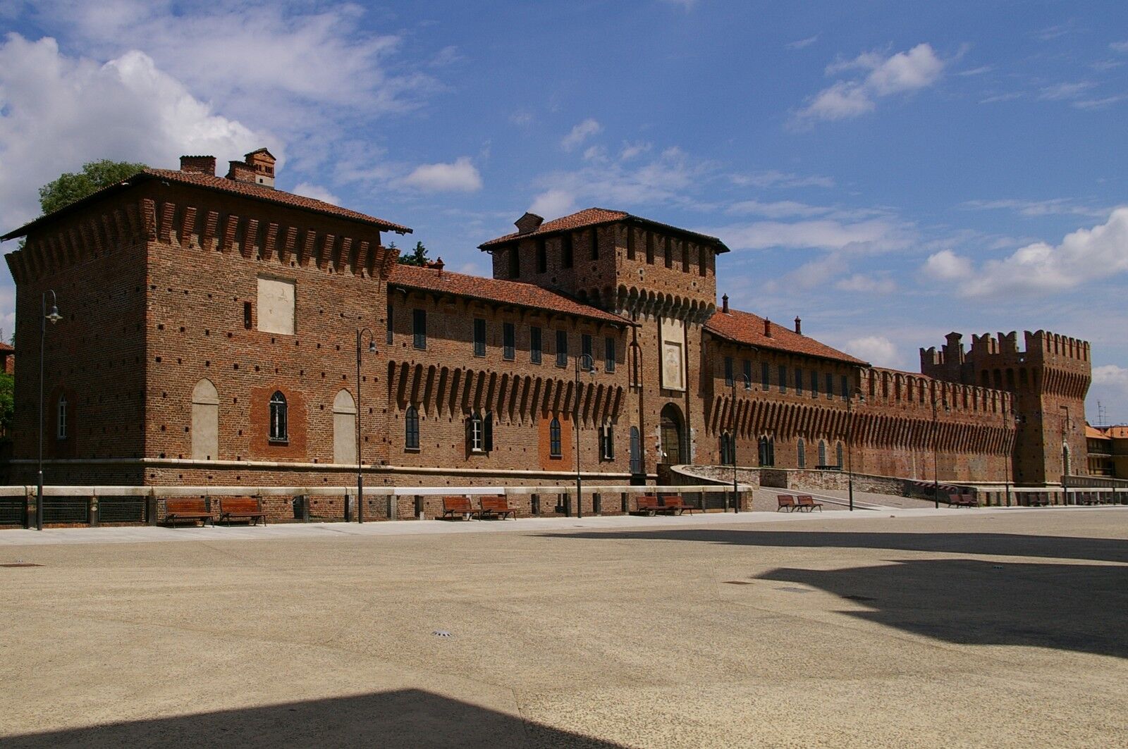
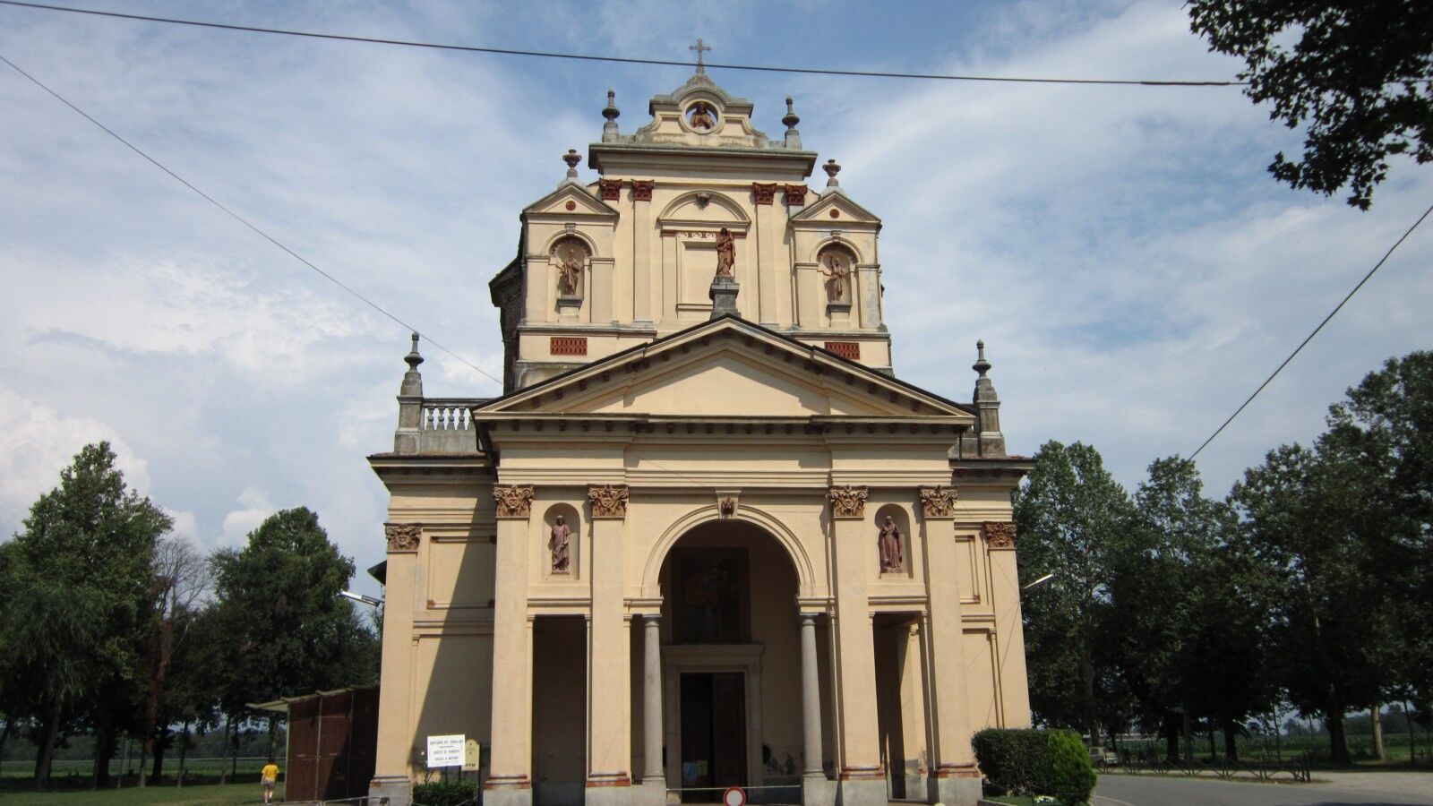
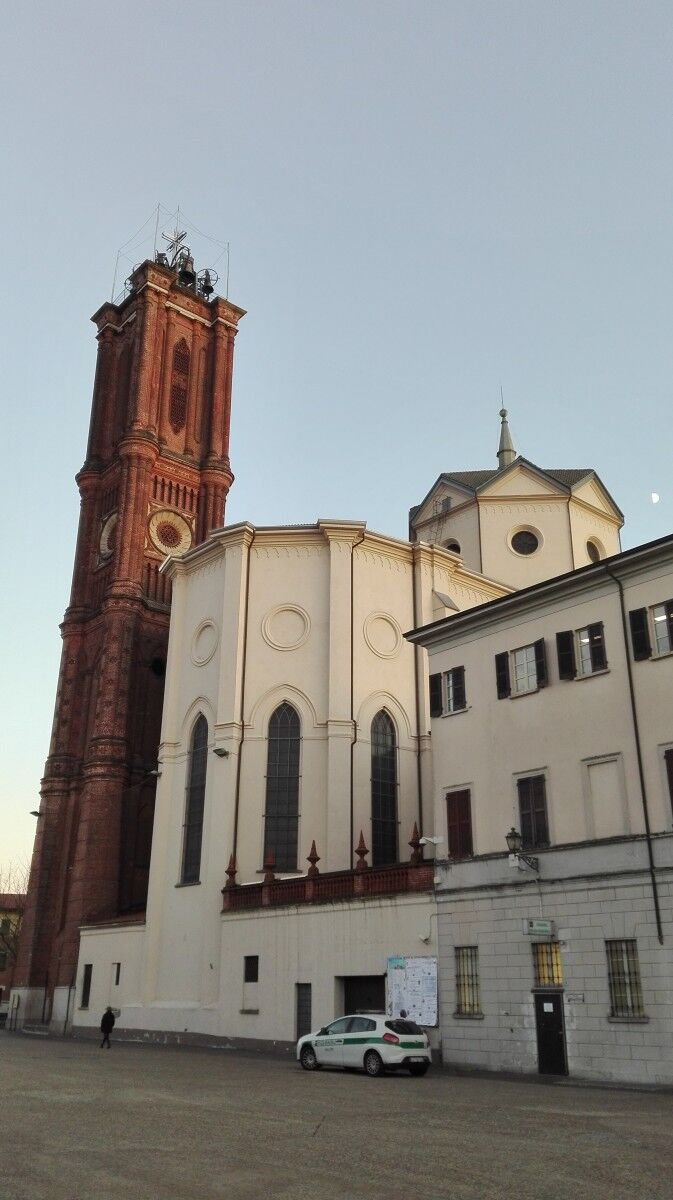
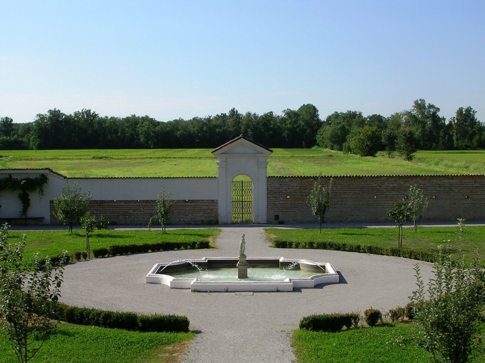
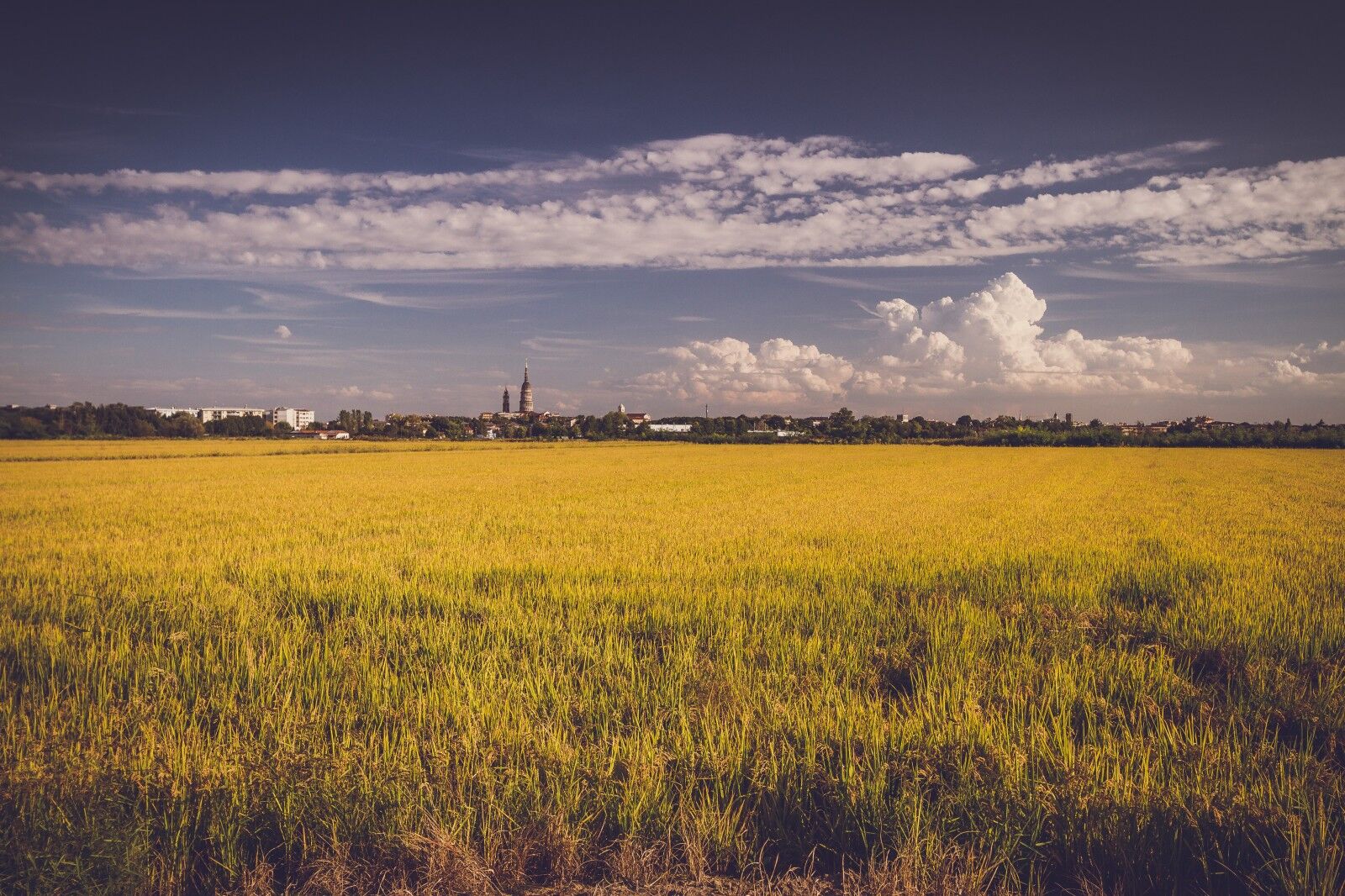

Galliate – Parish Church of Saints Peter and Paul: Rebuilt in the 19th century, in neogothic style, the characteristic feature is the 45-metre bell tower that has remained unfinished
Galliate - Shrine of Varallino: The shrine dedicated to the Nativity of the Virgin Mary is on the way out of the historic centre, in Vulpiate. It was built in the 16th century to the design of Pellegrino Tibaldi. The building reflects the model of the Sacred Mounts in the interior, with painted chapels and evocative statues depicting the Sorrowful and Joyful Mysteries, by Dionigi Bussola and Giuseppe Argenti. Worthy of note is the fresco of the cupola depicting Paradise, painted by Lorenzo Peracino.
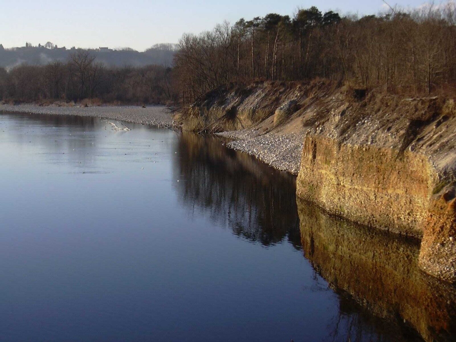
Galliate - Seven Fountains: located inside the Ticino Park, it is named after the 7 springs that flow from here. Already known as a recreational site in the first half of 1850, it is still a meeting place and equipped area for stops and picnics. The Orlandi powerstation stands on the shores of the Naviglio Langosco, which flows from the Ticino and runs parallel to it. A hydraulic engineering work that bears witness to the industriousness of the people of the Ticino Valley and the exploitation of its water in the first half of the 20thththcentury.
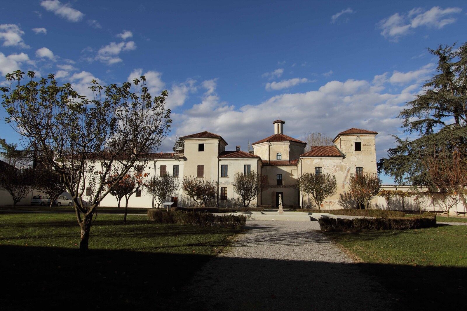
Cameri - Villa Picchetta: The complex of Villa Picchetta, headquarters of the park, is located at the entrance to Ticino Park. The building is u-shaped, and the 19th century frescoes in grotesque style of the Octagon Room and the recently restored meridians, situated on the walls at the entrance of the villa, are worthy of note. The gardens that surround it create a beautiful scenic effect. The building also incorporates the Oratory of Santa Margherita and the Immaculate Conception.
Cameri –Bosco Vedro Island: It is the most important Special Nature Reserve of Ticino Park; an area rich in precious woodland and oxbow lakes, with an educational trail that touches the most important environments.
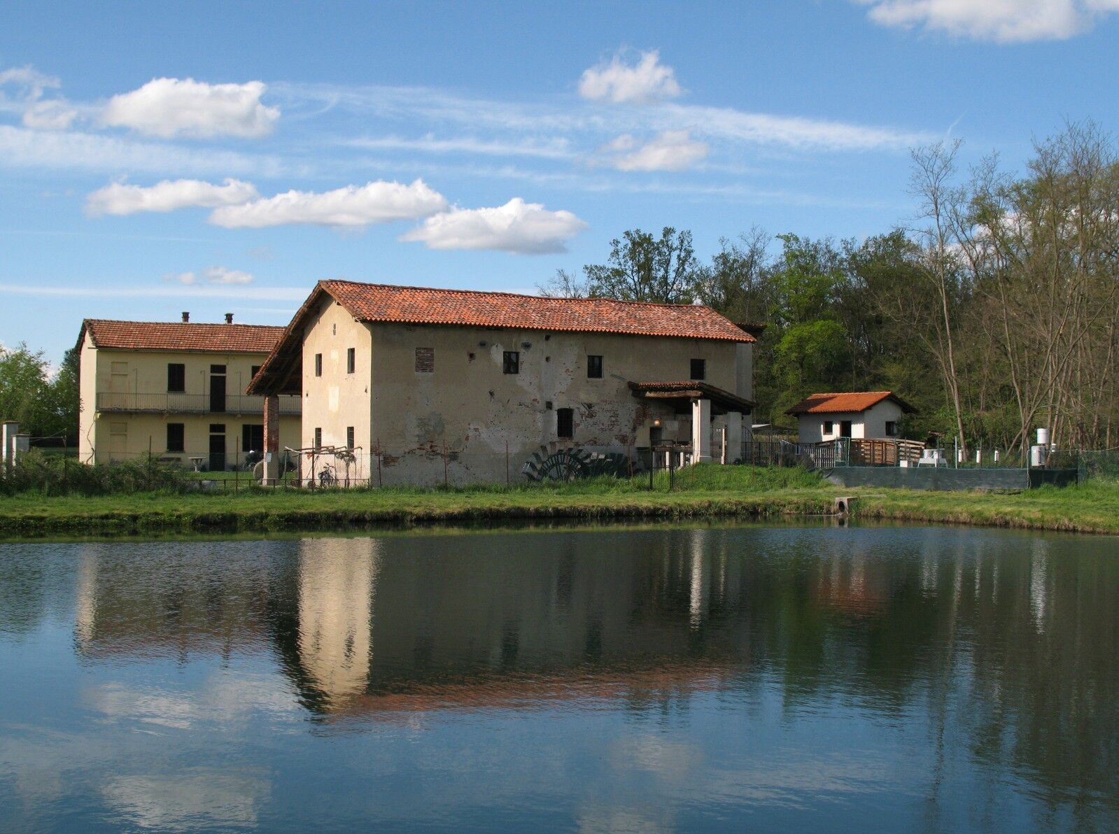
Bellinzago - Old Mill: Already mentioned in the 16thththcentury, but restored in the 18thththcentury, it was recovered by the Ticino Park and Lake Maggiore Authority and has been used as Regional Centre of Environmental Education since 1985. It is still possible to observe the operation of the mechanisms and gears that are operated thanks to the waters of the Roggia Molinara.
Oleggio – Iron Bridge: Built between 1887 and 1889 on the River Ticino, the bridge has a lattice structure and is 187 metres long. During the Second World War, it survived the bombings thanks to its particular configuration.
You cover about 20 km on good dirt tracks

Oblíbené prohlídky v okolí
-
From the rice plain to the hills of Middle Novara
heavyMountainbike 45.9 km -
4.0
Sesto Calende - Libando - Chiesa parrocchiale di Santa Maria della Neve - Abbiategrasso
středníJízda na kole 54.6 km -
Saint Bernard Trail | Stage 9 Momo (Holy Trinity) – Novara Cathedral
středníPoutní stezka 19.7 km -
Porta Sempione - Chiesa della Beata Vergine Immacolata - Chiesa parrocchiale dei Santi Pietro e Paolo - Santhià
středníCyklistika na velkou vzdálenost 137.5 km -
Castelletto Ticino - Titti's risto pub - Cimilin - San Francesco - Chiesa parrocchiale di Santo Stefano
středníŠotolinové kolo 58.6 km -
Chiesa di San Rocco - Chiesa Oasi - Libando - Chiesa della Madonna della Neve
světloŠotolinové kolo 25.5 km -
Borgo Ticino - Chiesa del Cuore Immacolato di Maria - Sesto Calende - Santuario della Madonna del Rosario
středníMountainbike 42.7 km -
Lido - Monte Cucco - Chiesa di San Giuseppe - Chiesa della Conversione di San Paolo
středníMountainbike 57.6 km -
QT8 - Chiesa Parrocchiale di Sant'Antonio Abate - Chiesa parrocchiale di San Giuseppe Lavoratore - Chiesa parrocchiale di Santa Maria della Neve
středníSilniční kolo 74.4 km -
Canottieri 6 - Dighe del Panperduto - Maddalena - Somma Lombardo
Turistika 4.61 km

Pěší turistika a stopování


Nenechte si ujít nabídky a inspiraci pro vaši příští dovolenou
Vaše e-mailová adresa byl přidán do poštovního seznamu.





