







Cycling in Aleramo’s lands
Up and down the hills from Moncalvo towards Grazzano, where tradition has it that Aleramo's tomb is located. In 961, the Marquis had the abbey that dominates the town built on these hills, today dedicated...
Up and down the hills from Moncalvo towards Grazzano, where tradition has it that Aleramo's tomb is located. In 961, the Marquis had the abbey that dominates the town built on these hills, today dedicated to Saints Vittore and Corona. Inside, under a valuable fragment of mosaic from the Middle Ages, the remains of the legendary Aleramo are said to be found. The itinerary winds its way from the center of the town, in Piazza G. Cotti and, following the distinctive CAI trail signs

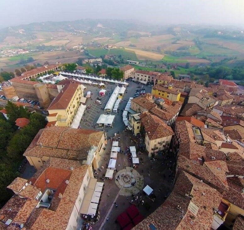

The itinerary starts from the Moncalvo square and continues in the direction of Grazzano, where it is possible to stop to visit the tomb of Aleramo. Just before the town, turn left towards the Madonna dei Monti, to enjoy the splendid panorama of the Monferrato hills. Going down towards Ottiglio you reach the various villages scattered in the area included in the UNESCO World Heritage Vineyard Landscapes, with typical local buildings in canton stone (tuff). The hamlets of Moleto and Olivola are worth a visit, before setting off again in the direction of Frassinello; from here you descend into the Ghenza Valley and then up towards Camagna and, along the panoramic road, Vignale. From Vignale we proceed towards Casorzo, Grana and then Calliano. From here you reach the Tonco station and go up to Alfiano Natta and, from there, you return to the starting point, Moncalvo. Route verified and mapped by Marco Demaria. The information contained does not engage the responsibility of the authors and verifiers of the route due to possible variations in the state of practicability of the proposed itineraries, especially in the stretches on dirt roads.
Suitable equipment is recommended, windproof jacket and possible change of clothing and a good supply of water
Rest and refreshment points along the way
Bikes to use: road, city and e-bike
The village of Moncalvo; Grazzano, with a visit to Aleramo's tomb, and the villages in the UNESCO World Heritage area: Ottiglio, Moleto, Olivola, Frassinello.
Oblíbené prohlídky v okolí
-
Sentiero "Vigneti e Infernot" - Sentiero 726 in mountain bike
Mountainbike 14.1 km -
Sentiero le Vecchie Fonti - Sentiero 860 in camminata
Poutní stezka 14.4 km -
Sentiero le Vecchie Fonti - Sentiero 860 in mountain bike
Mountainbike 14.4 km -
Sentiero "Vigneti e Infernot" - Sentiero 726 in camminata
Poutní stezka 14.1 km -
Here is the Route 45 of Monferrato
středníMountainbike 24.6 km -
Sentiero panorami e ciminiere di Ozzano - Sentiero 738 in camminata
Poutní stezka 7.20 km -
Panoramas and chimneys path of Ozzano - Path 738 by mountain bike
Mountainbike 7.20 km -
Sentiero la valle dei Frati - Sentiero 746 in camminata
Poutní stezka 7.29 km -
Cycling the lands of San Giovanni Bosco
středníMountainbike 61.7 km -
Sentiero Pieve di San Giovanni - Santuario di Crea - Sentiero 727 in mountain bike
Mountainbike 27.3 km

Pěší turistika a stopování


Nenechte si ujít nabídky a inspiraci pro vaši příští dovolenou
Vaše e-mailová adresa byl přidán do poštovního seznamu.





