






Lagoni di Mercurago Park
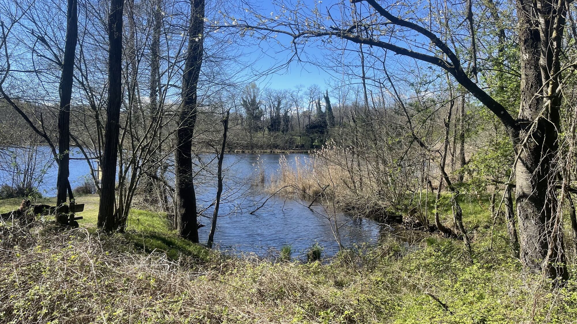
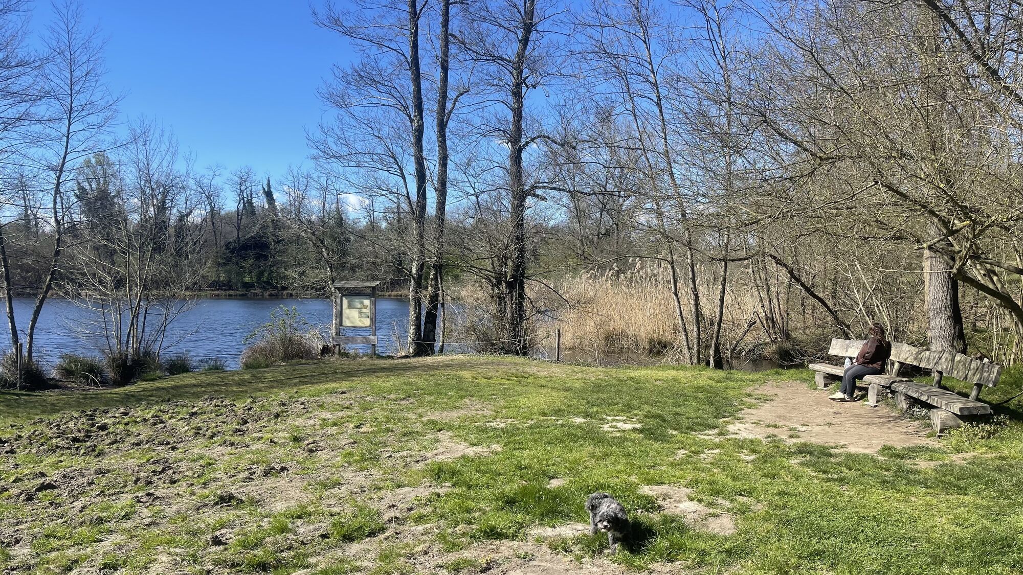
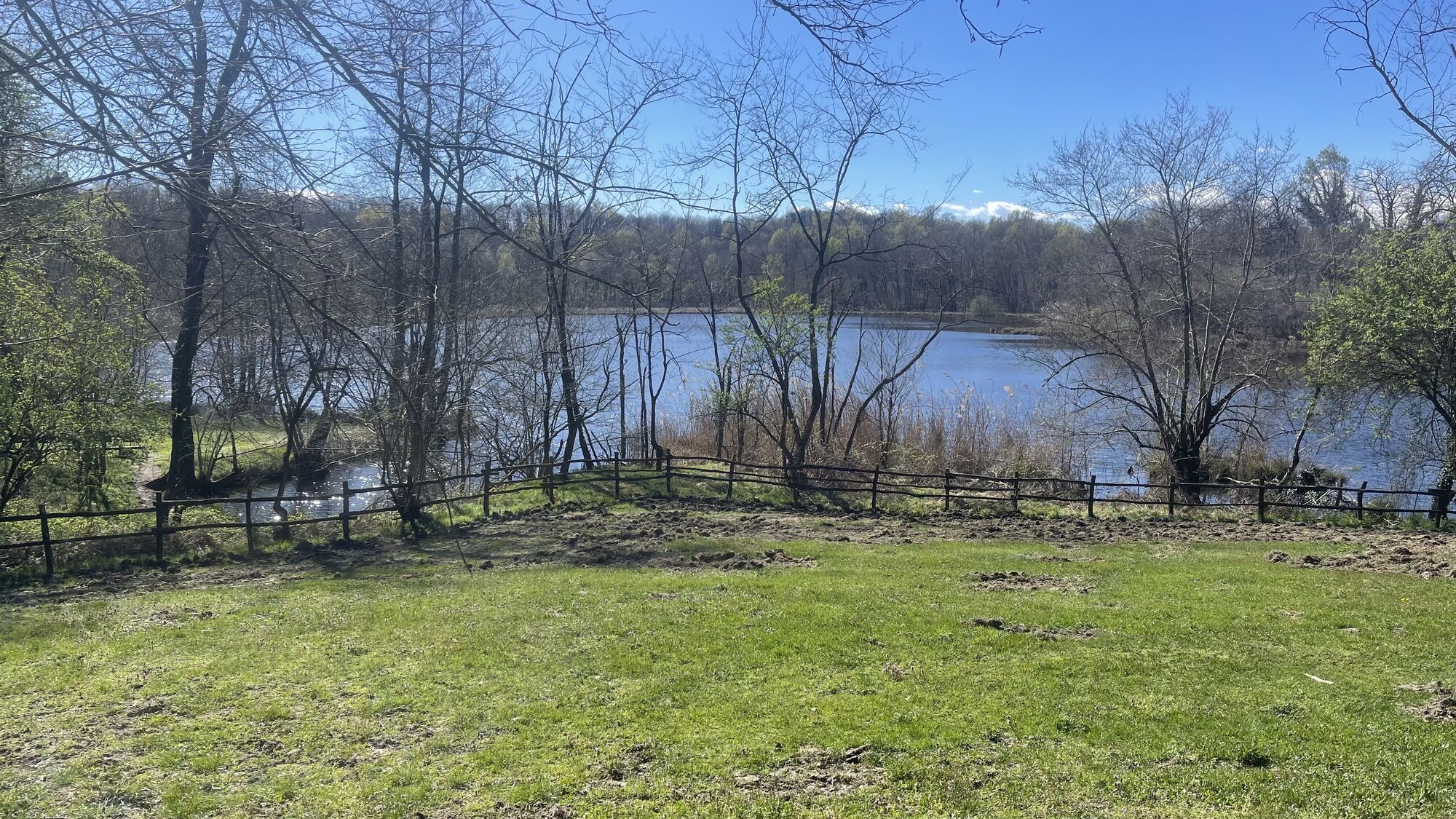
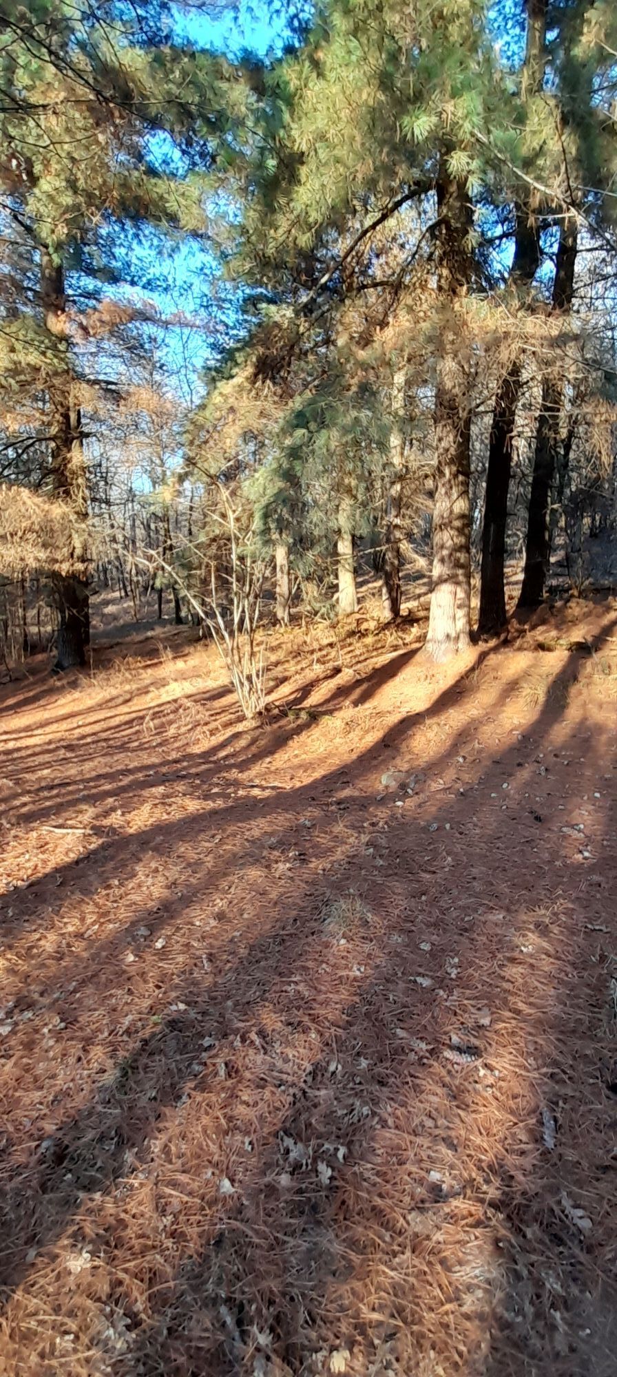
The departure point for this itinerary is at the entrance to the Lagoni di Mercurago Nature Park, where we can easily park our car.
We continue along the dirt road which climbs through the woods until we...
The departure point for this itinerary is at the entrance to the Lagoni di Mercurago Nature Park, where we can easily park our car.
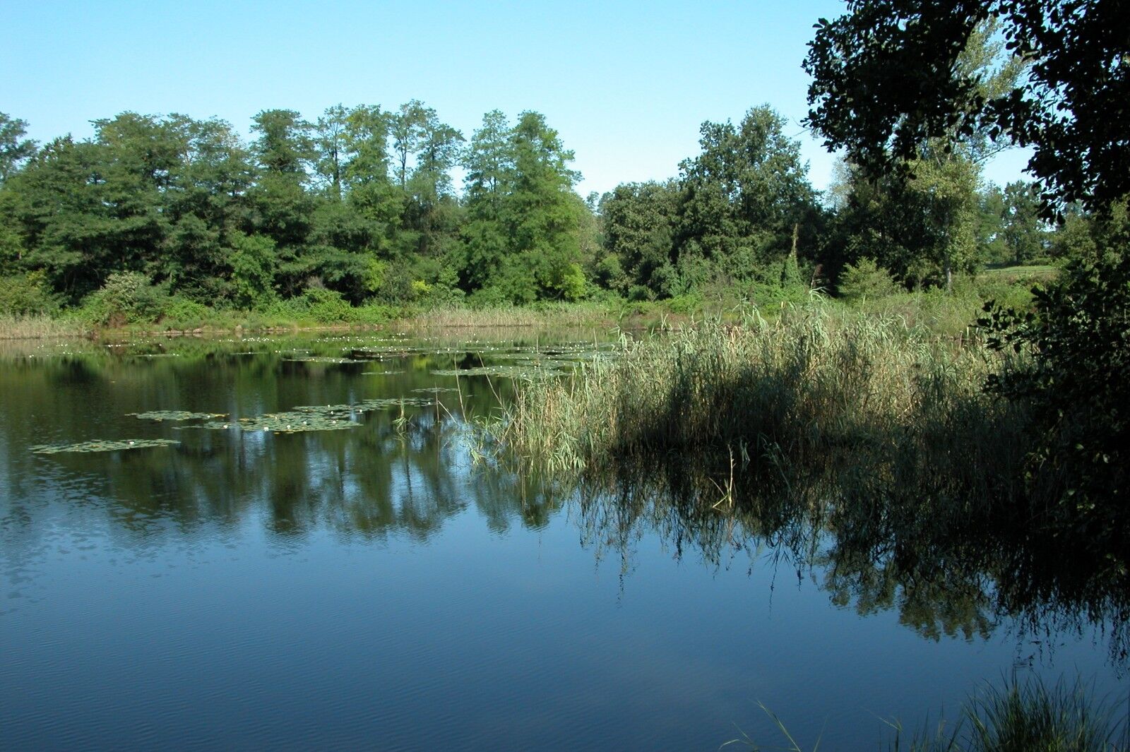
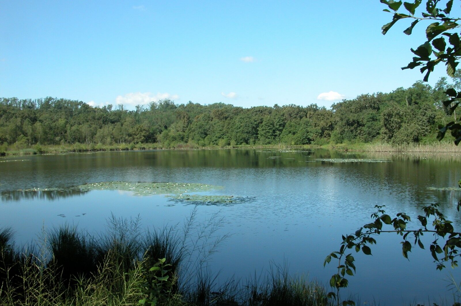
We continue along the dirt road which climbs through the woods until we reach a fork in the road where we turn left along the stra di pianèl da Gatic and then take the stra di Lagon, reaching the large lake on the left.
Now we continue straight ahead slightly uphill and reach a junction with a chestnut tree where we have to continue left downhill (on the right there is the stra dal Muntasc) reaching the asphalt road in via ai Lagoni: we turn right towards the village of Dormelletto.
We continue on the asphalt road and before reaching the centre of the village we turn right into via Fratelli Kennedy. At the next junction we turn left into via Monte Bianco and take a wide cobbled road.
When we reach the top of the slope we turn right into via Camotto and continue on a dirt road (stra dal Muntasc) reaching again the junction with the chestnut tree we encountered earlier. Now we follow the same route as before, but just before the large lake we turn left onto the stra d'la Buscarola and continue alongside the horse riding stables on the right. At the next crossroads we keep to the right (signs for stra d'la Buscarola), passing the picnic area and a pine forest on the left until we reach a farmhouse near the electric pylons.
Now we turn right and take a path signposted as senté dal Custon that runs along the archaeological area and then along the senté dal Fòs. At the next crossroads, we turn left into stra di Sèl and then continue straight on to the stra di pianèl da Gatic.
The path descends to a bend where we turn right uphill and take the senté dal Busch.
We now continue on a flat stretch, always following the signs for senté di Busch and we reach the area of the pond. Near the crossroads with stra d'la Pül, we turn right and continue along the wetland area until the next crossroads, where we turn right again. After passing a few houses on the left, we continue to the right along Stra del Bagaìn and return to the crossroads with the small chapel that we passed on the way up. Keeping to the left we return towards the park exit, our point of arrival.


Duration 1 hour
Lagoni di Mercurago Nature Park and nearby, Arona
Získejte přehled Vždy živě na místě s více než 9 500 webkamerami. bergfex Jako uživatel Pro si nyní můžete zobrazit odpovídající webové kamery pro mnoho prohlídek v aplikaci prohlídky z. Můžete si tak přímo prohlédnout aktuální podmínky. Oblíbené prohlídky v okolí
Tour of Lake Orta
světloMountainbike 35.4 km- 4.7
Coiromonte - Monte del Falò
středníTuristika 6.16 km - 5.0
Meina to Stresa
středníElektrokola 34.8 km On the Hills from Cavallirio and Boca
světloTuristika 9.73 kmIn the hills of Borgomanero
středníMountainbike 41.3 kmBicinVigna with Antonelli - Pink itinerary
středníMountainbike 40.9 kmBicinVigna with Antonelli
středníMountainbike 25.2 kmFrom Invorio to Armeno through the villages of Vergante
středníMountainbike 41.0 kmGreen loop trail of Lake Orta
heavyMountainbike 50.4 kmFrom village to village with views of Lake Orta
středníMountainbike 31.8 km

Pěší turistika a stopování


Nenechte si ujít nabídky a inspiraci pro vaši příští dovolenou
Vaše e-mailová adresa byl přidán do poštovního seznamu.





