







BARDONECCHIA Red Spire Loop

Úroveň obtížnosti: S3
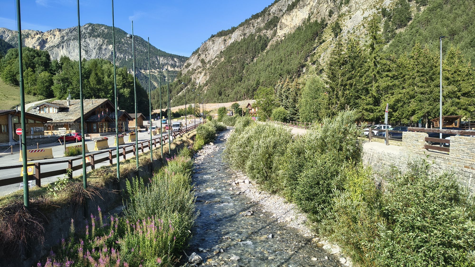
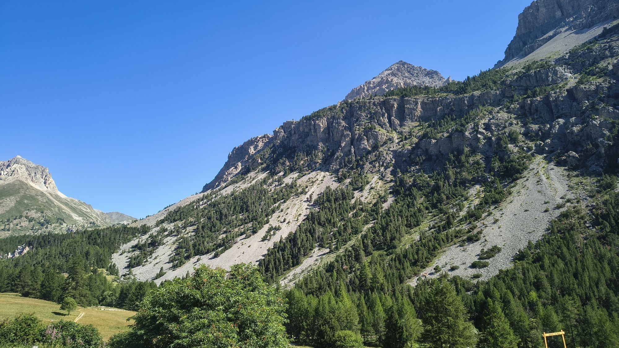
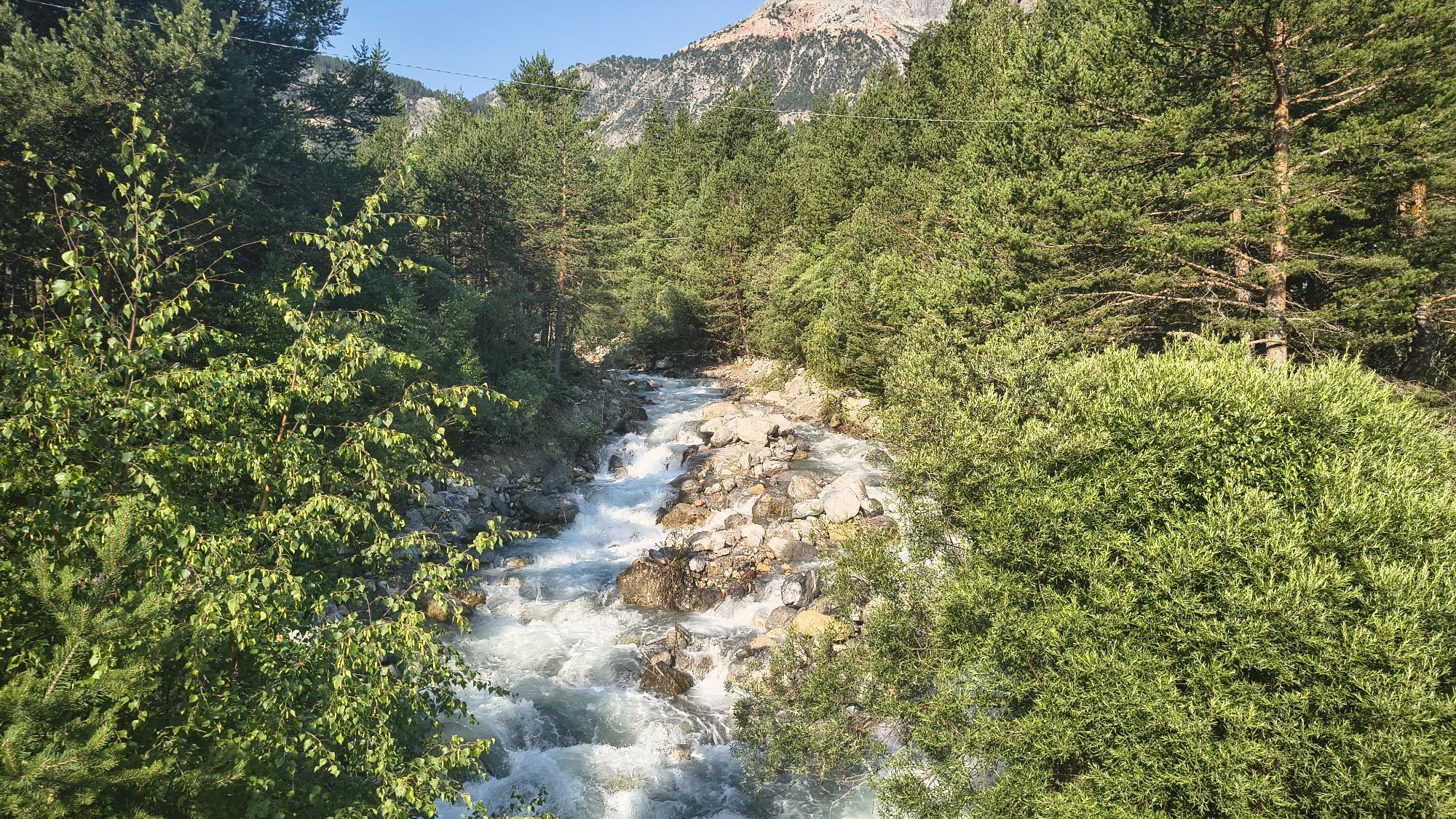
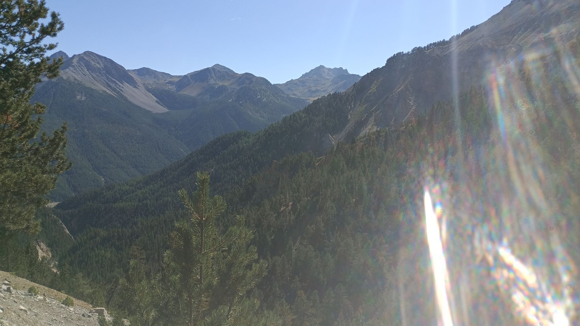
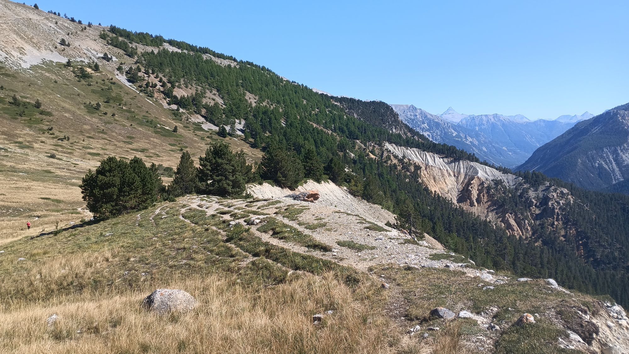
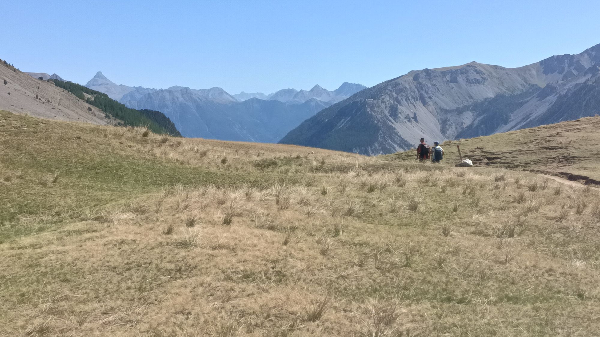
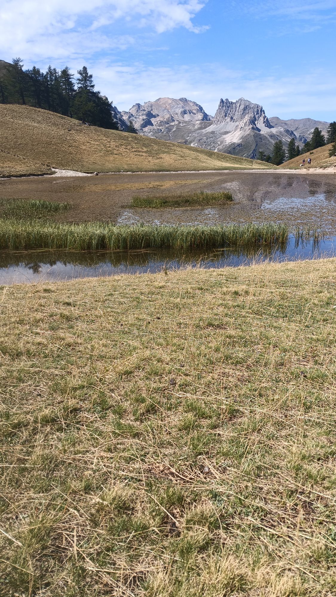
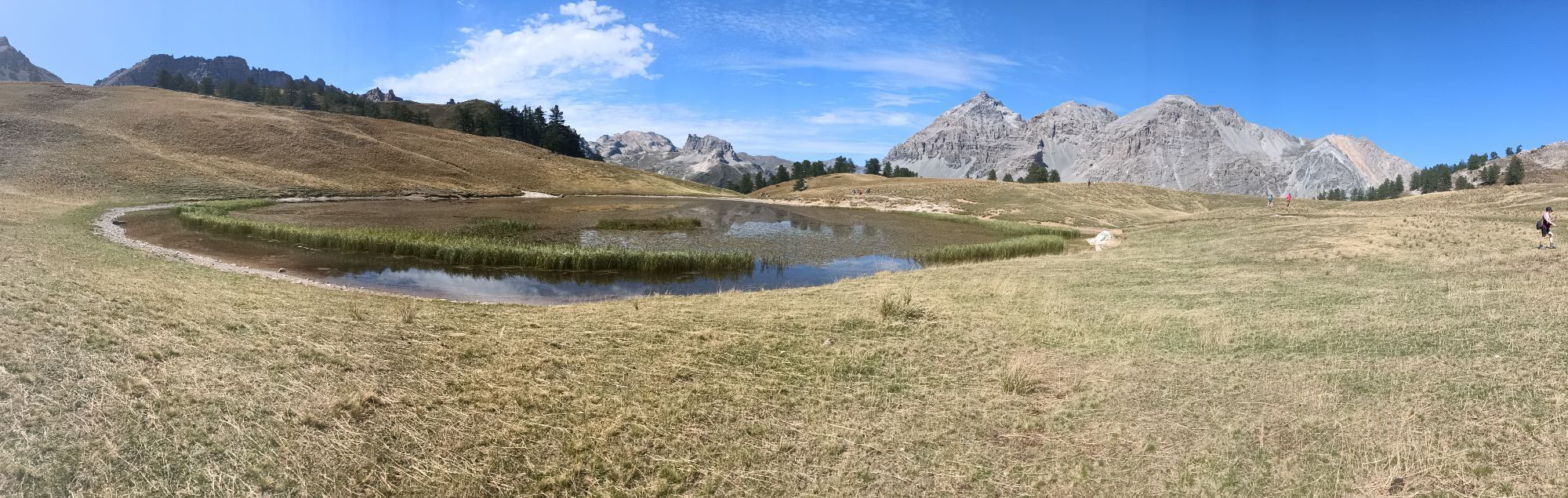
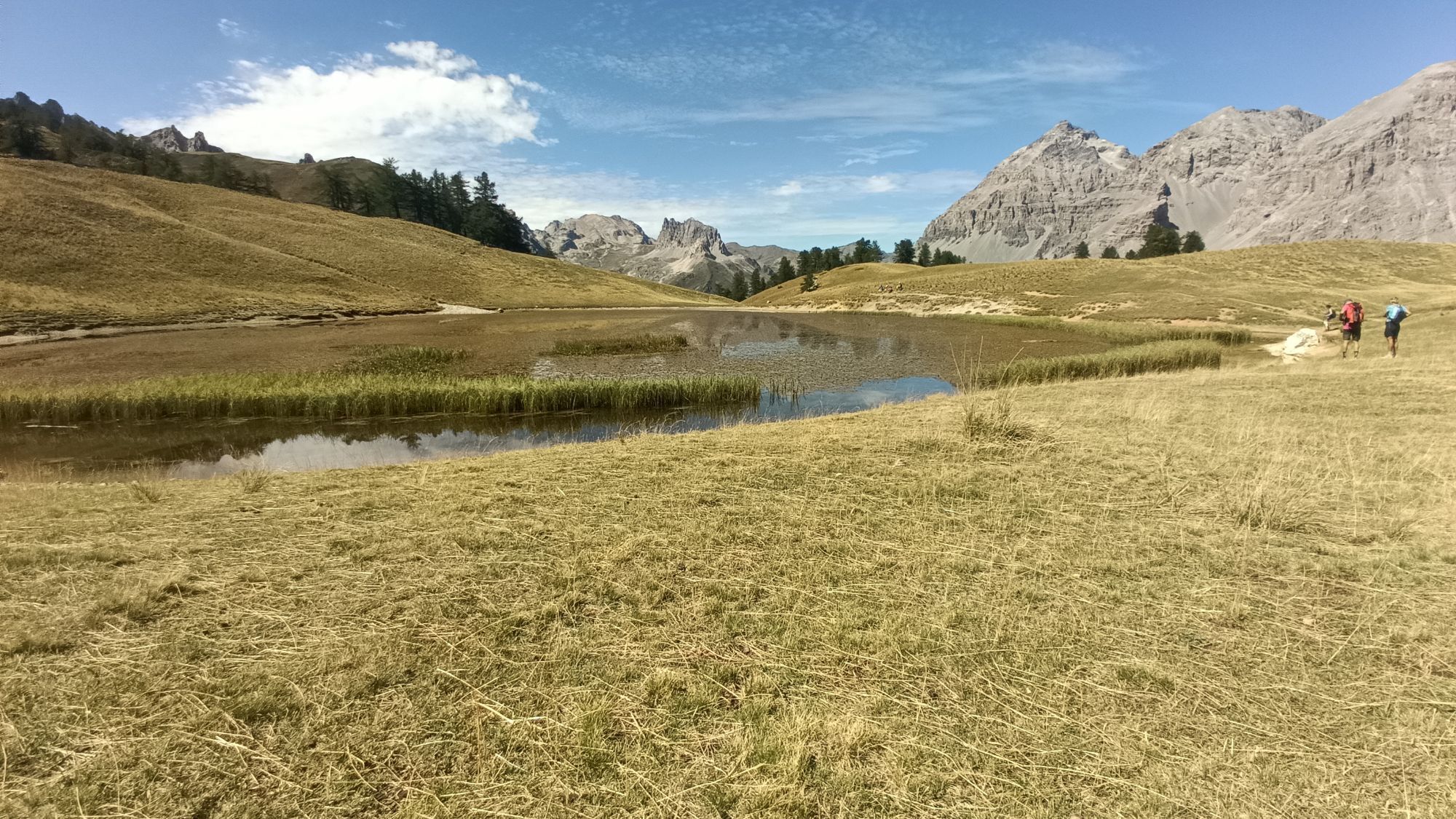
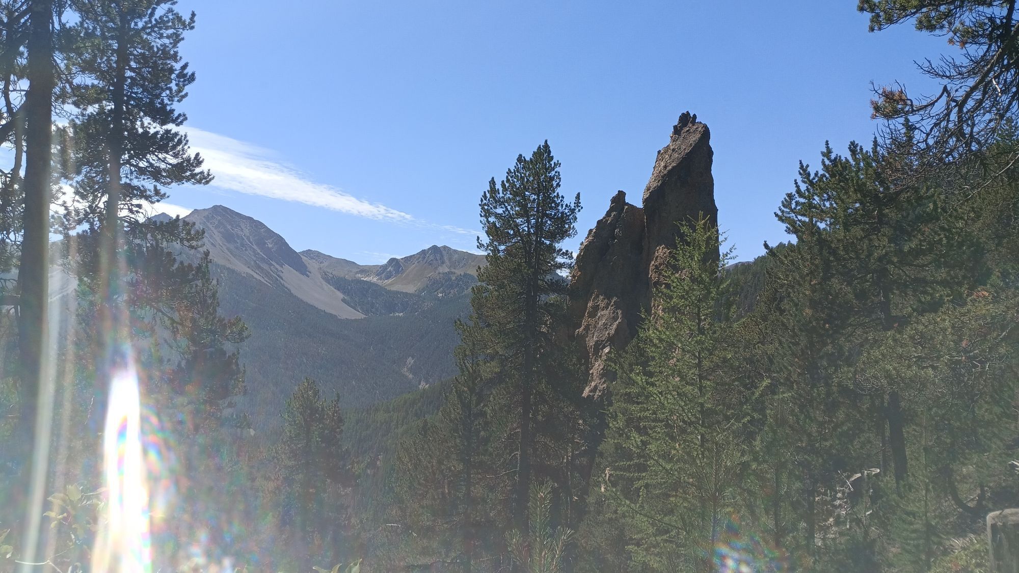
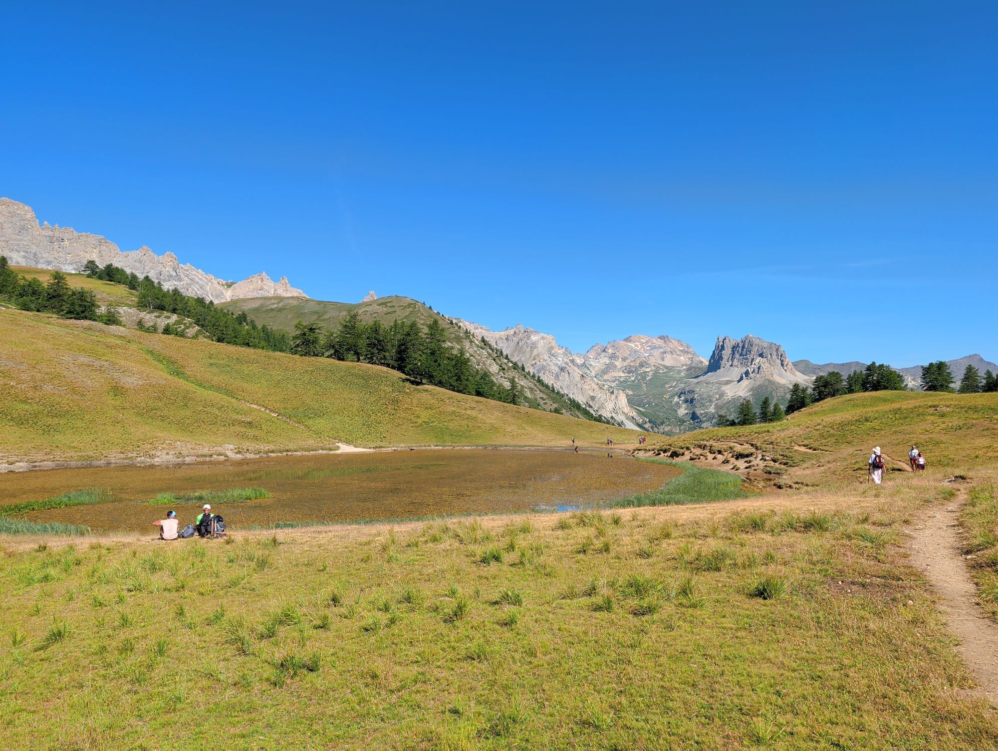
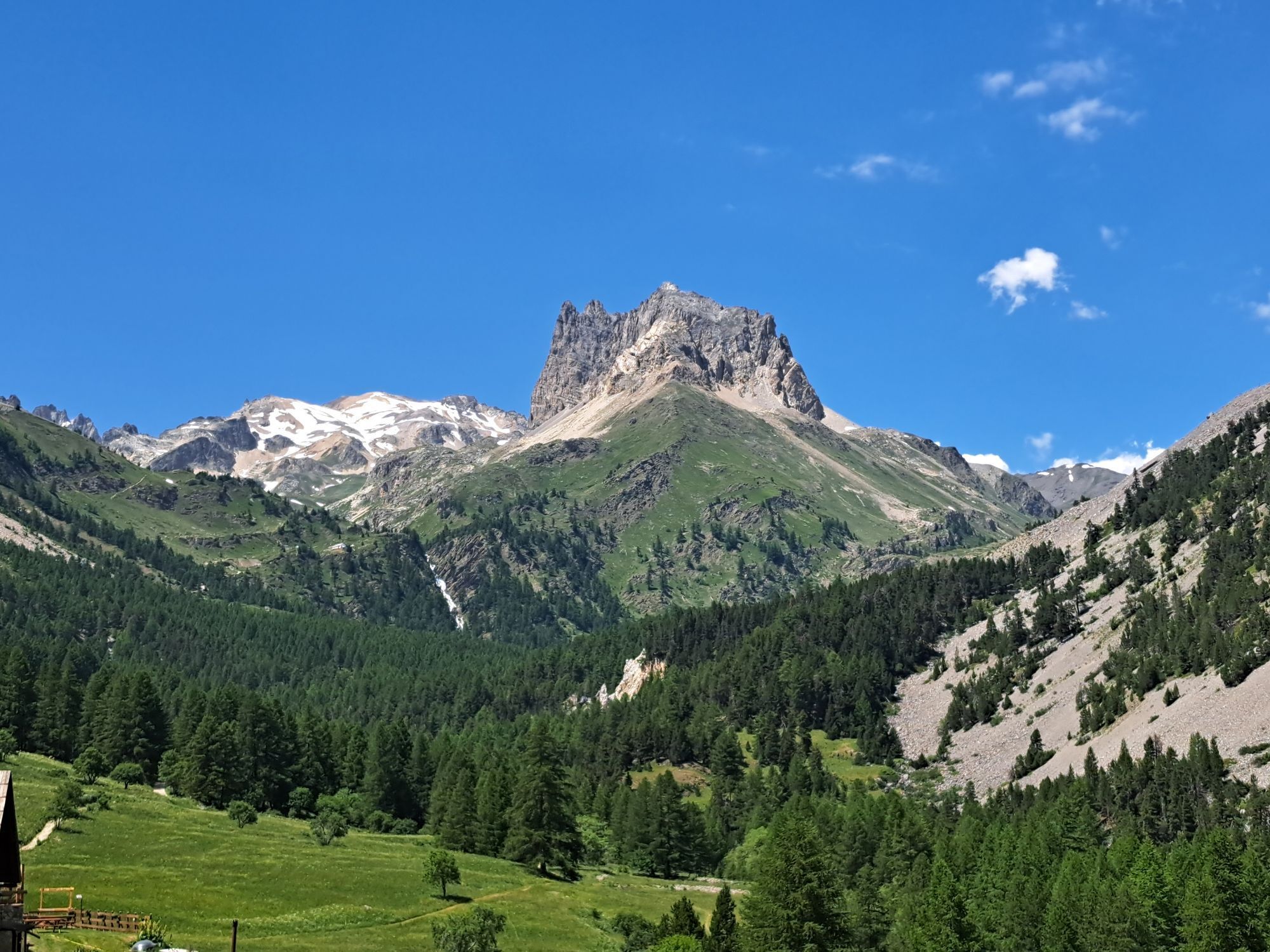
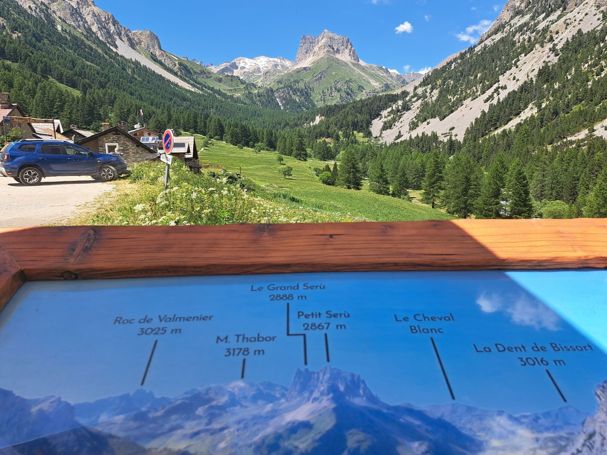
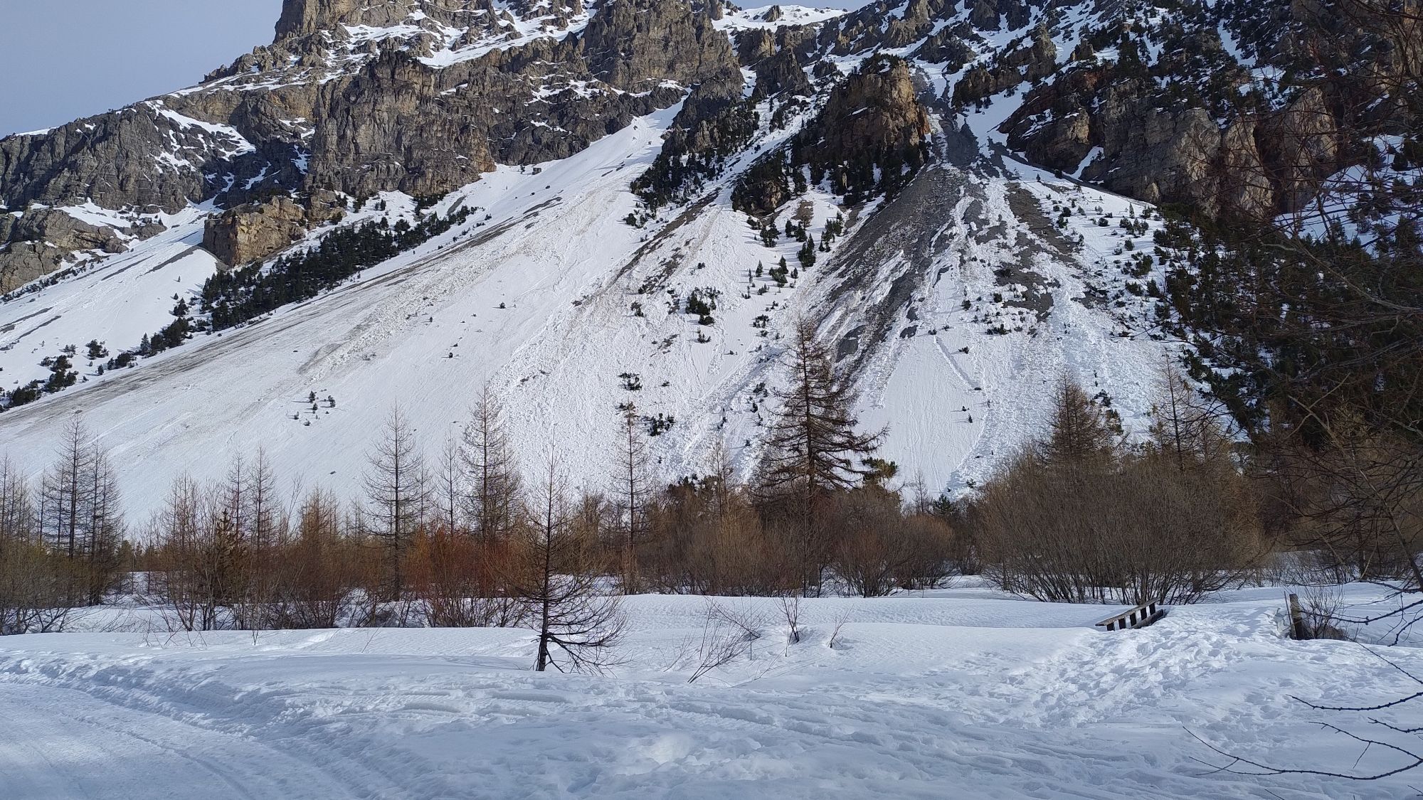
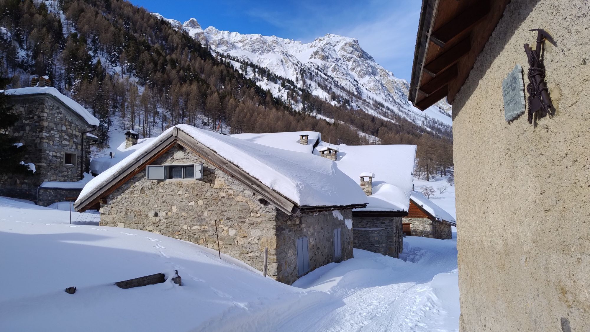
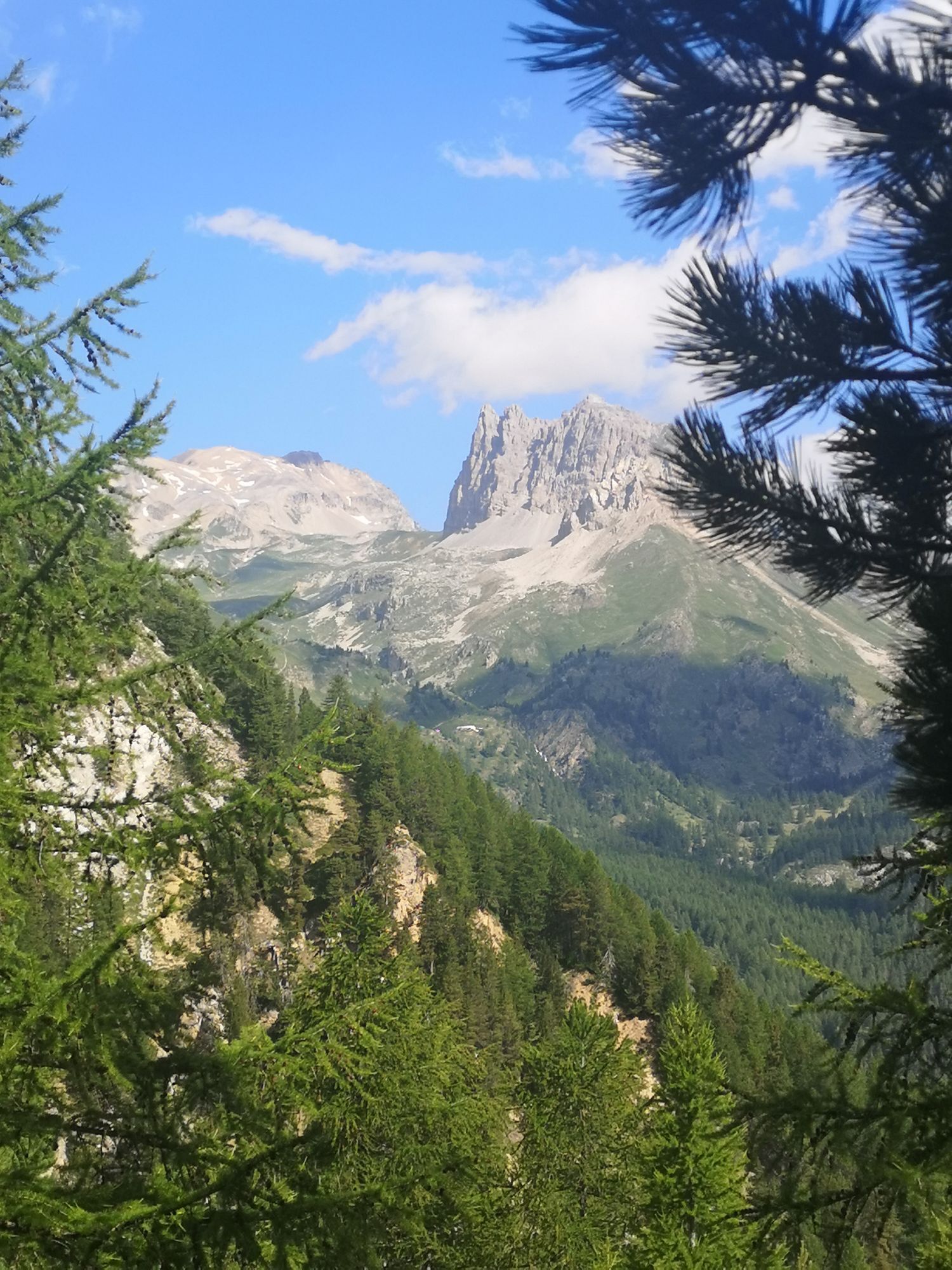
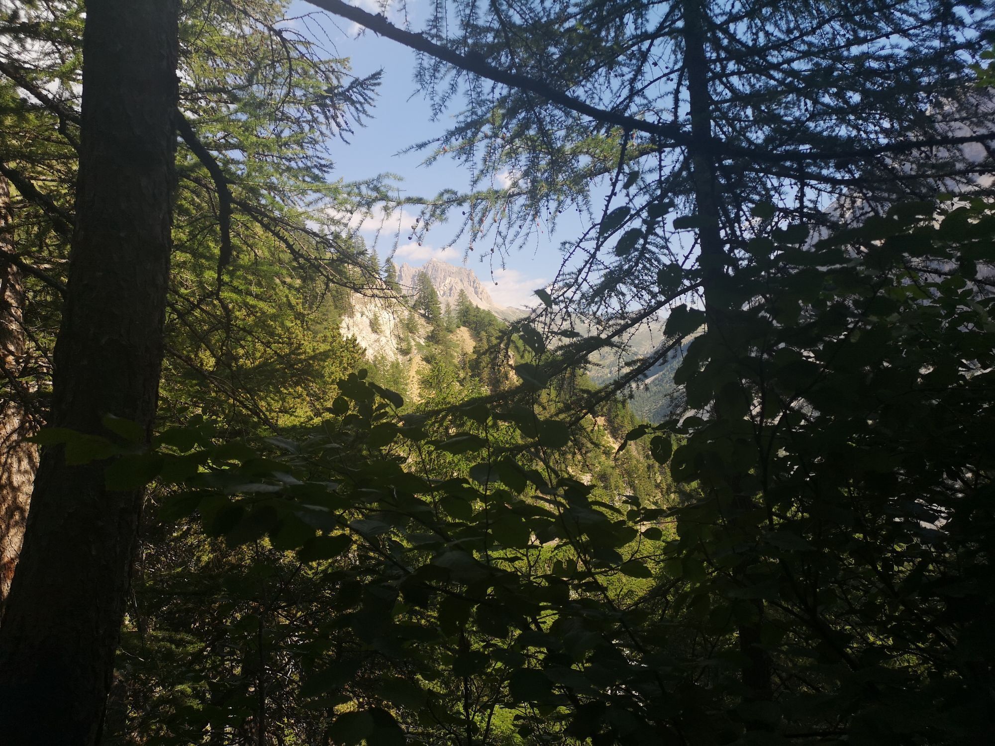
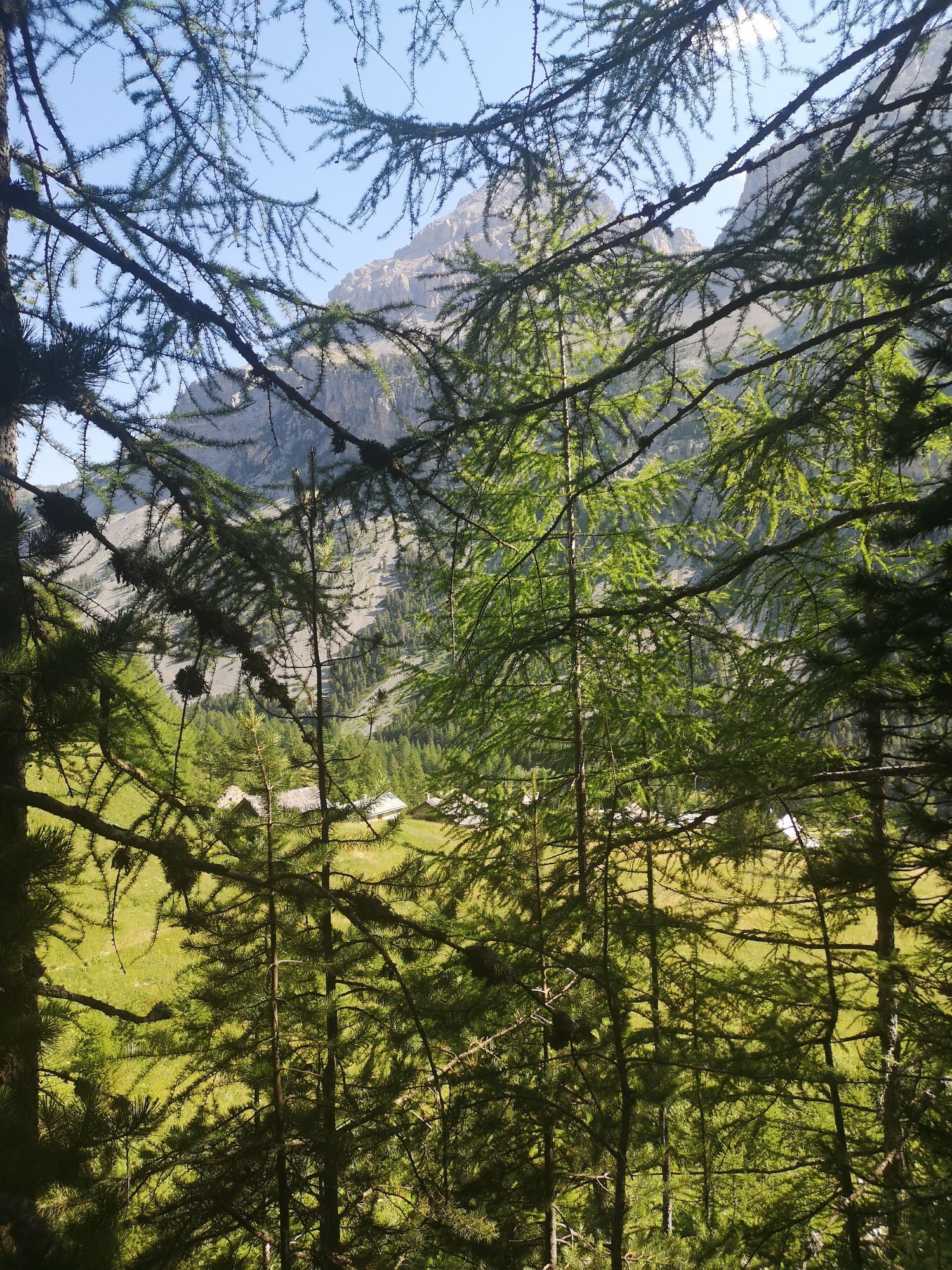
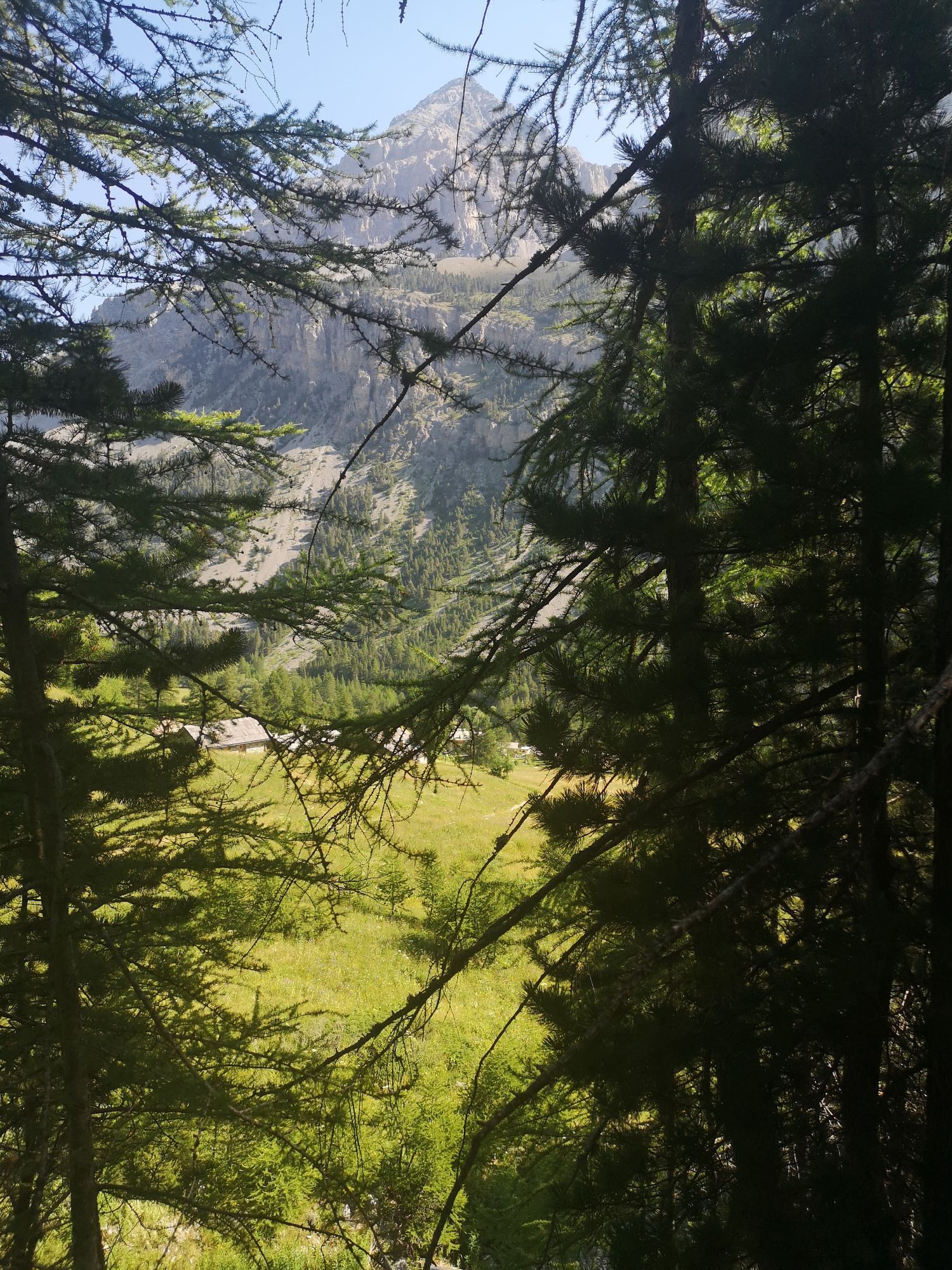
The route leads to the panoramic Colle della Scala then descends on the French side to reach Roubion. The route continues uphill along a dirt road that gradually becomes narrower until it becomes a winding...
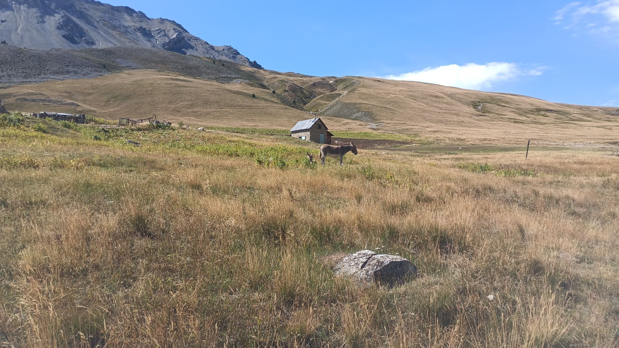
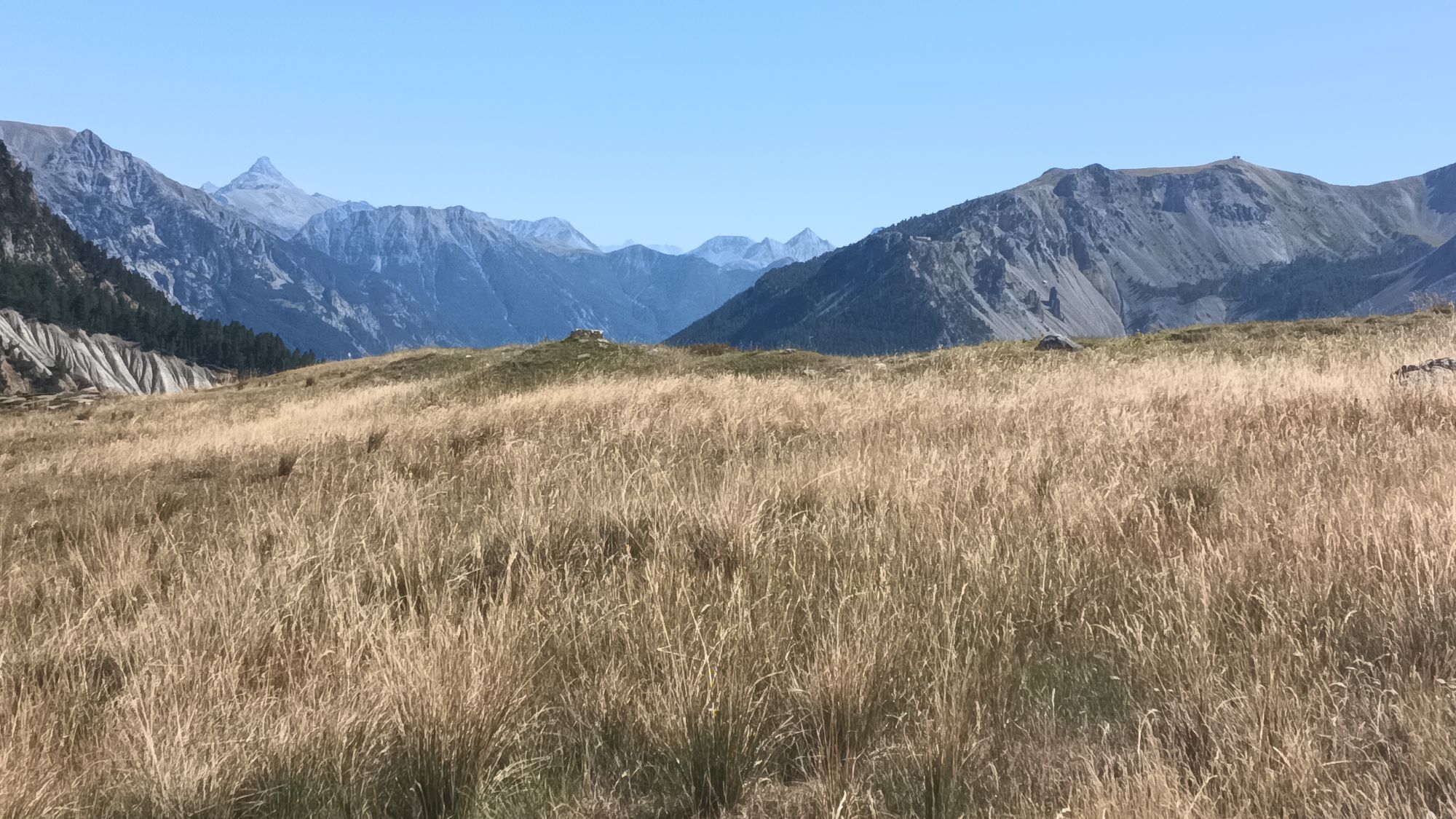
The route leads to the panoramic Colle della Scala then descends on the French side to reach Roubion. The route continues uphill along a dirt road that gradually becomes narrower until it becomes a winding path no longer rideable (some portage necessary). Upon reaching the grassy plateau of the Pass and Thures Lake the view opens on the mountains. The descent is on the side of the Valle Stretta. Here too the rough path is not completely rideable and requires some portage. Once you reach the Grange di Valle Stretta the route continues on asphalt road up to Pian del Colle.
Technical consulting by Andrea Calzati - Cycling tour guide



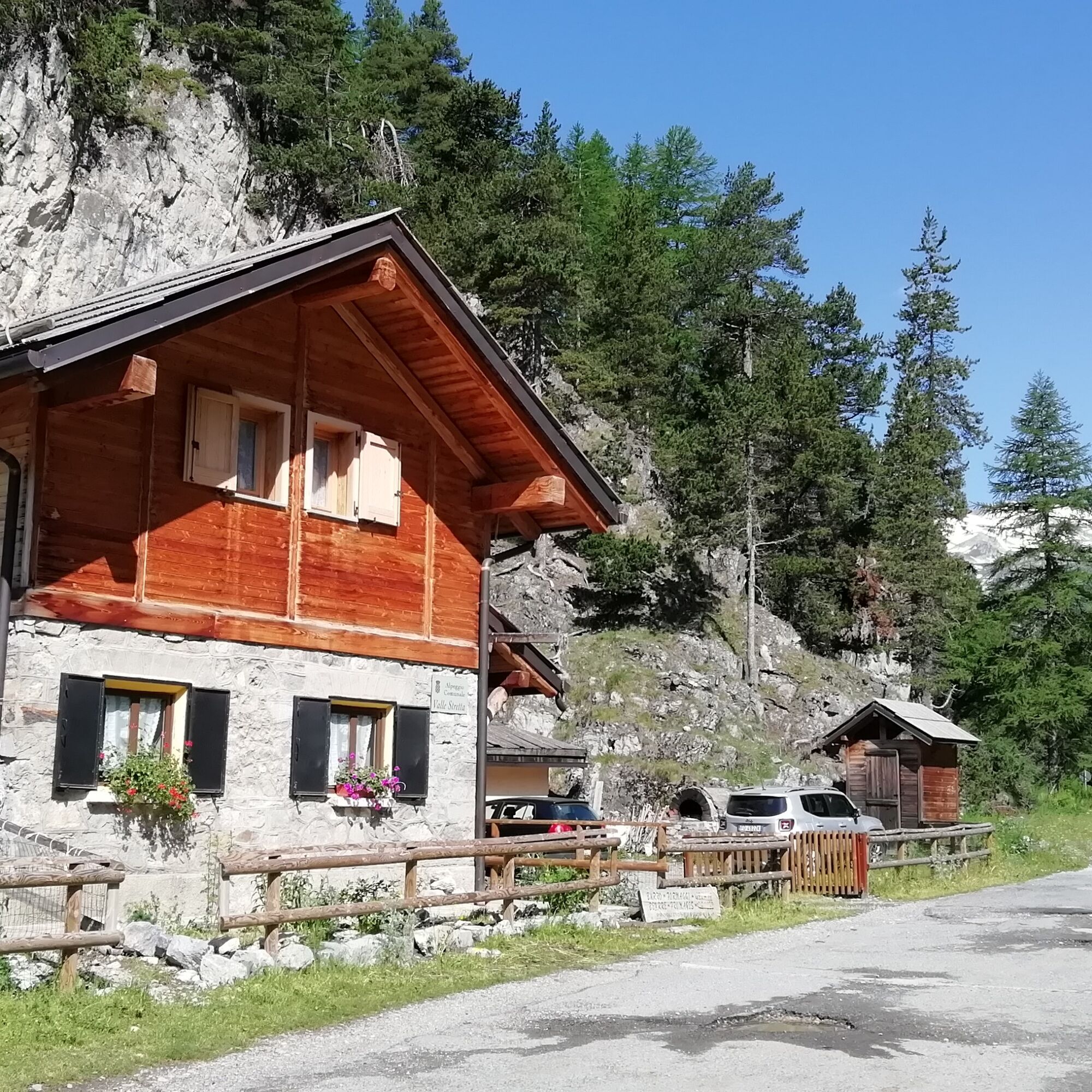
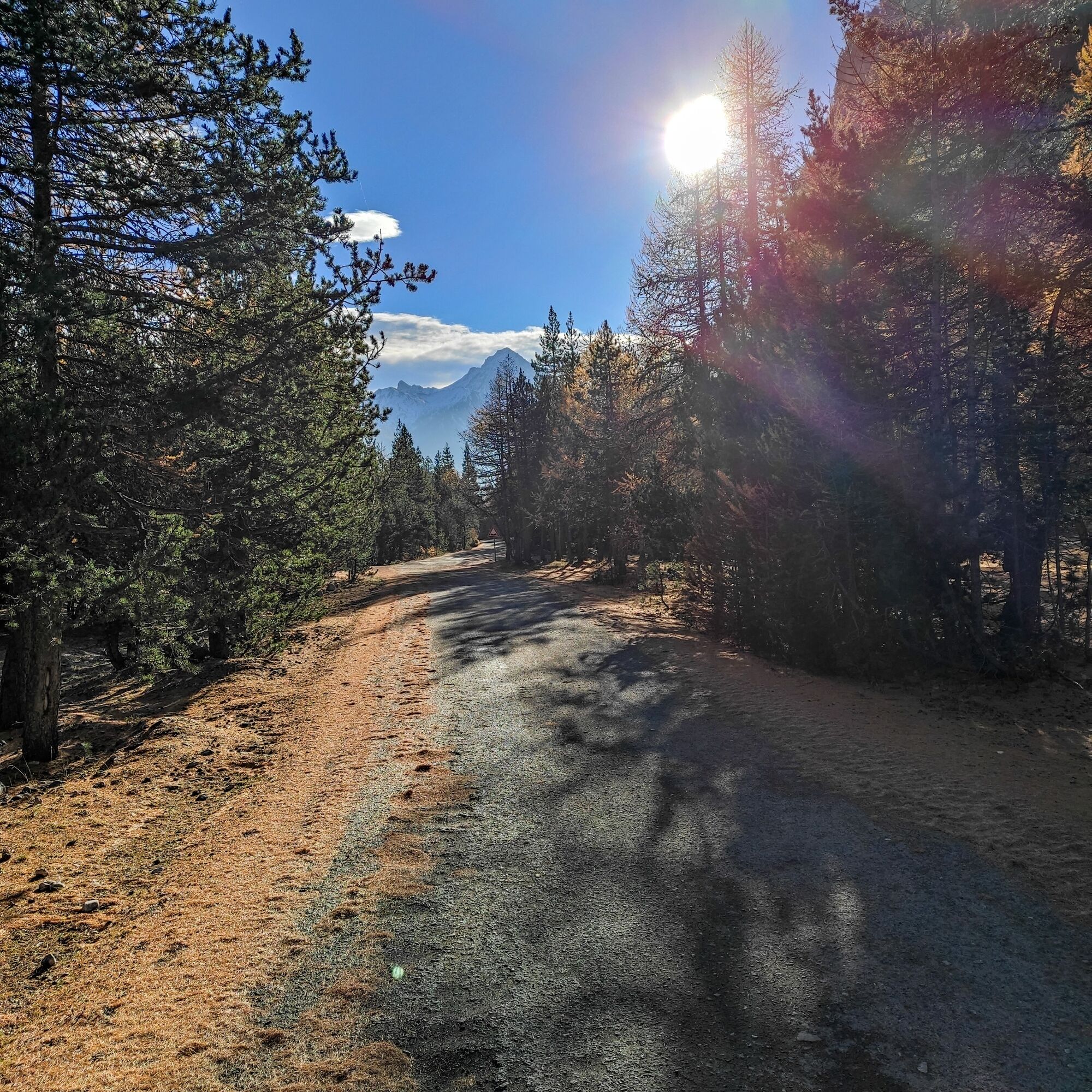

From Campo Smith take the provincial road towards Melezet and follow it to Pian del Colle. Continue on the asphalt and at the fork keep left for Col de l'Échelle (Colle della Scala). Climb to the pass with some hairpin bends and then continue flat for about one kilometer. Proceed downhill until you meet on the right, just before the village of Roubion, a dirt road. Take it, enter the village and follow to the right the sign “Forêt Domaniale de la Clarée”. The road ascends into the Vallone di Thures and gradually becomes narrower until it turns into a winding path that may become unrideable and require some portage. Upon reaching the Pass and Thures Lake, take the descending path towards the Grange di Valle Stretta. Also in this section some portage might be necessary. From here descend on the asphalt road to Pian del Colle and then to Melezet, cross Les Arnauds and return to Campo Smith.
MTB
E-bike
Road closed to motor vehicles from Roubion to Grange di Valle Stretta.
The road from Grange di Valle Stretta to Pian del Colle is closed to motor vehicles on some July weekends and every day in the first weeks of August.
On other weekdays and times of year the road from Grange di Valle Stretta to Pian del Colle is open also to cars, so be careful of vehicles going up and down.
Road from Campo Smith to Roubion is quite busy.
By car:
- A32 Motorway Torino - Bardonecchia, Bardonecchia exit
- State Road 24: Torino - Oulx then State Road 335: Oulx - Bardonecchia
Once you reach Bardonecchia head towards Campo Smith
By train:
- line Torino Porta Nuova - Bardonecchia
From Bardonecchia train station head towards Campo Smith
Campo Smith Parking Lots
S3
Carry sufficient water supplies because there are no fountains from Roubion to Grange di Valle Stretta.
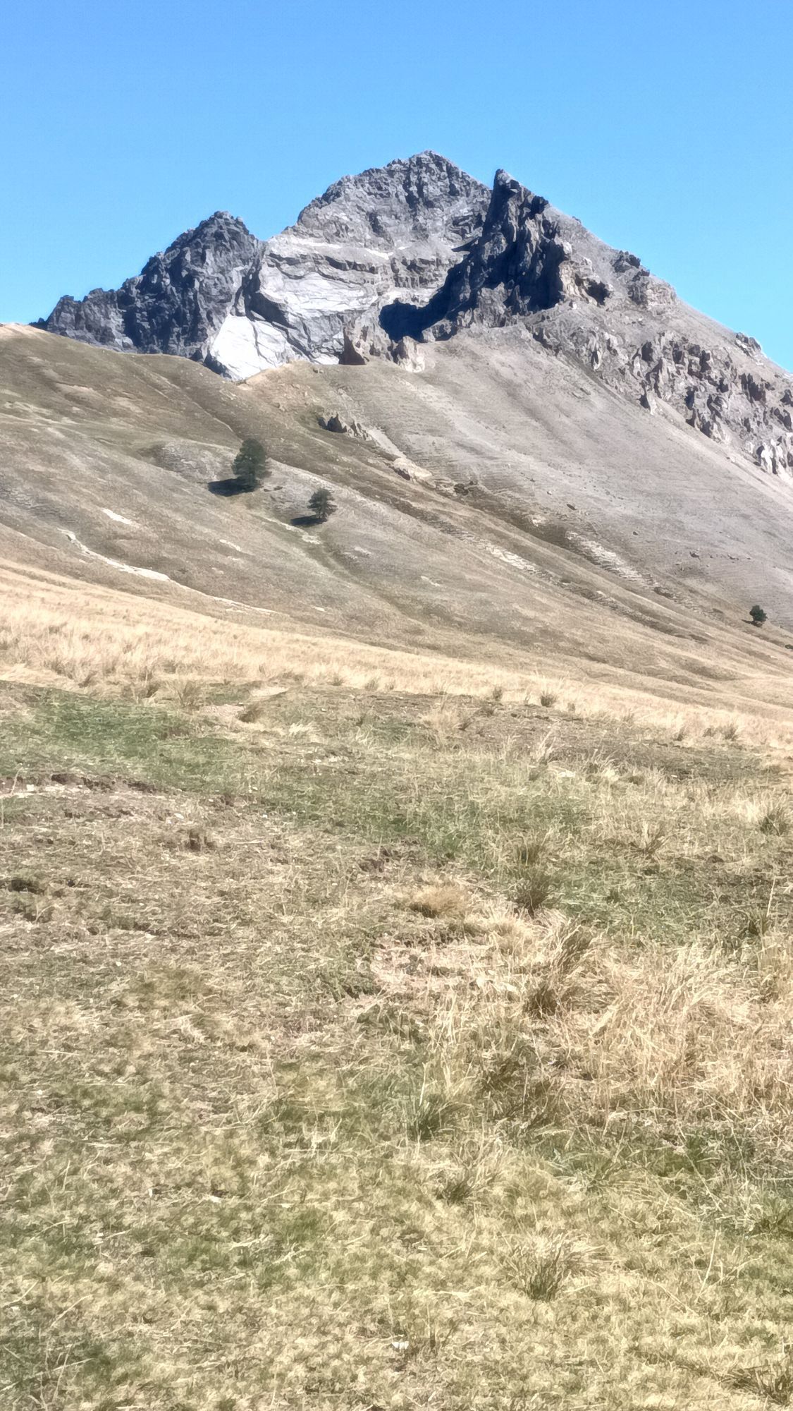
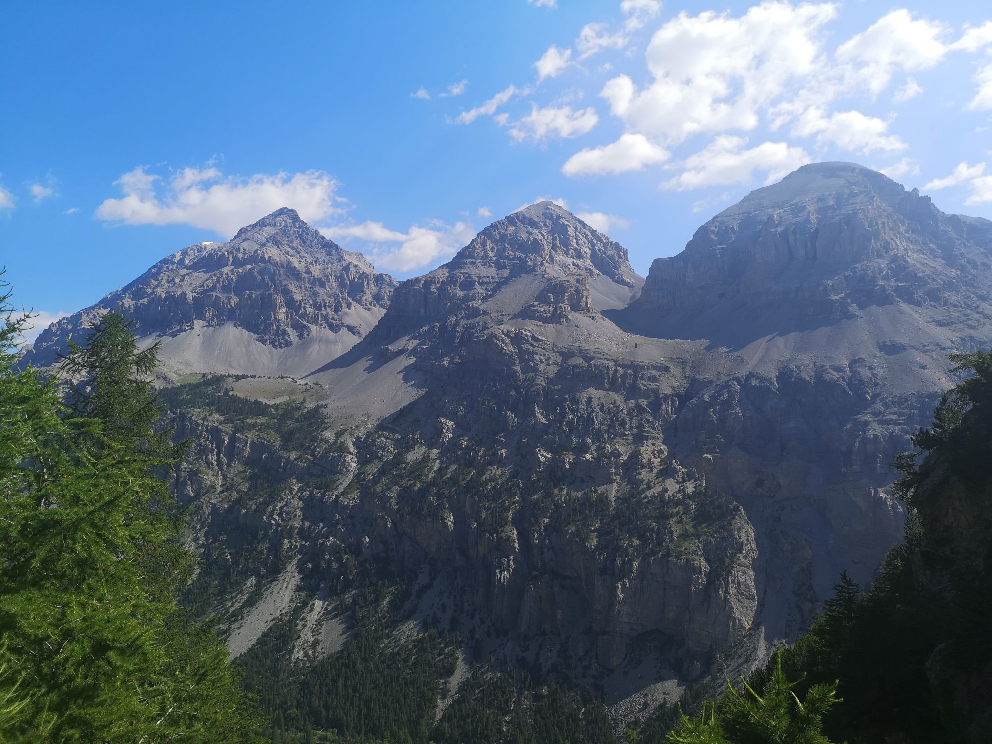
Take a break at the shelters at Grange di Valle Stretta or at Thures Lake for a picnic and enjoy the view of the Guglia Rossa.

Oblíbené prohlídky v okolí
-
4.5
BARDONECCHIA Pian del Colle - Valle Stretta
středníSněžnice 5.02 km -
5.0
BARDONECCHIA Forte Jafferau Loop
heavyMountainbike 36.8 km -
5.0
BARDONECCHIA Green Lake
světloTuristika 2.14 km -
4.7
BARDONECCHIA Col des Acles - Passo della Mulattiera
středníTuristika 6.23 km -
4.5
BARDONECCHIA Walter Bonatti Path - Grange della Rho
středníTuristika 6.06 km -
5.0
BARDONECCHIA Decauville
středníTuristika 7.29 km -
BARDONECCHIA Monte Jafferau
heavyTuristika 11.6 km -
GR® 57 Tour de la Haute-Clarée
středníTuristika 83.8 km -
5.0
BARDONECCHIA Monte Thabor
heavyTuristika 8.86 km -
3.5
BARDONECCHIA Sentiero dei Cosetti by Luciano Ferraris
světloTuristika 3.24 km
Pěší turistika a stopování


Nenechte si ujít nabídky a inspiraci pro vaši příští dovolenou
Vaše e-mailová adresa byl přidán do poštovního seznamu.





