







High alpine pilgrimage route Domodossola - Saas-Fee
Úroveň obtížnosti: T3
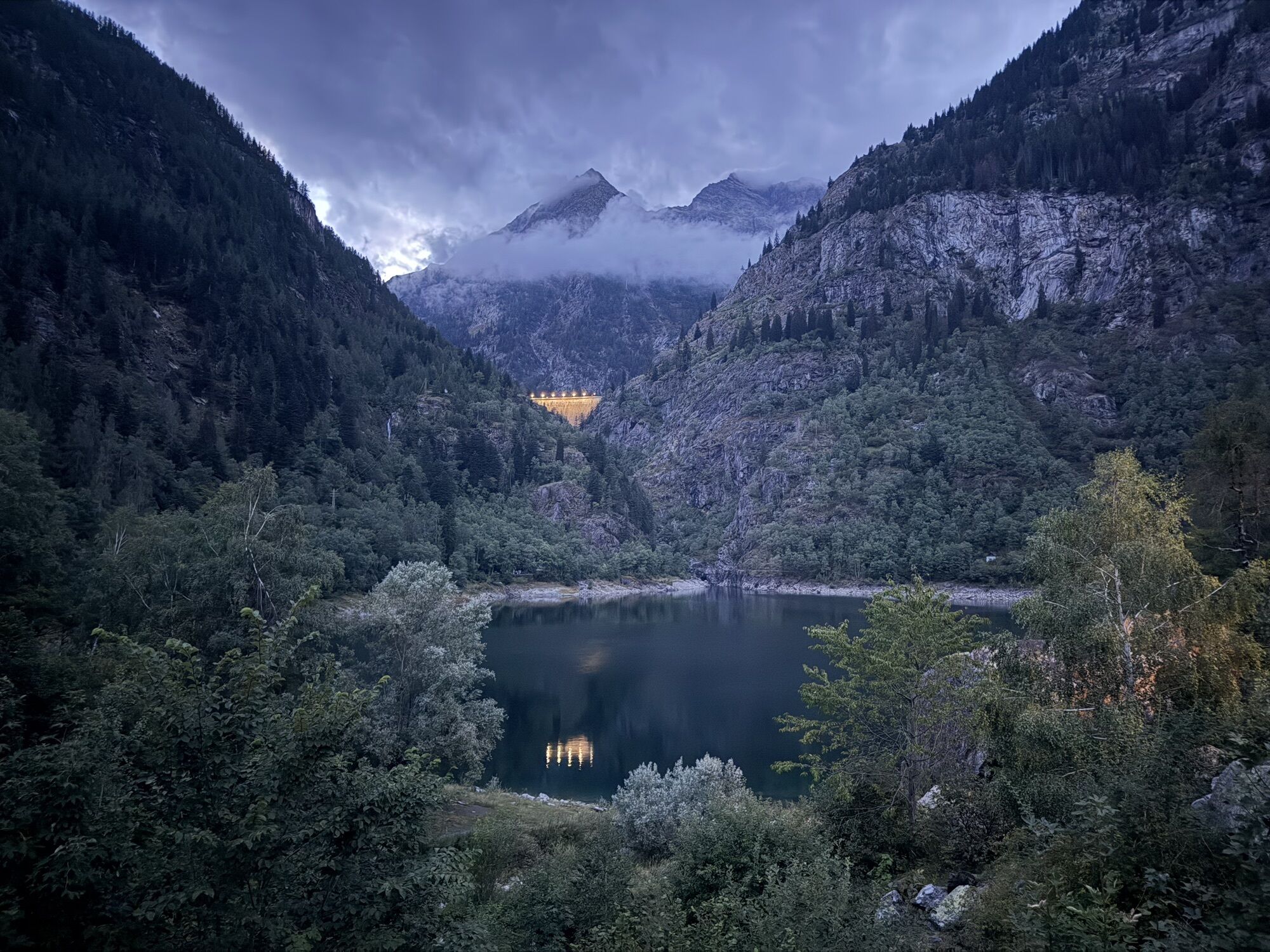
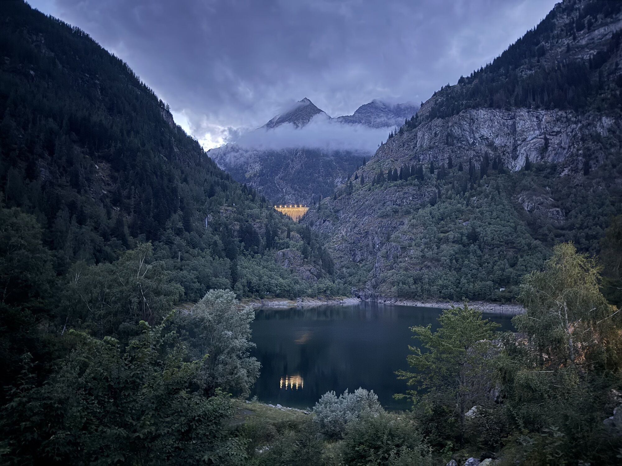
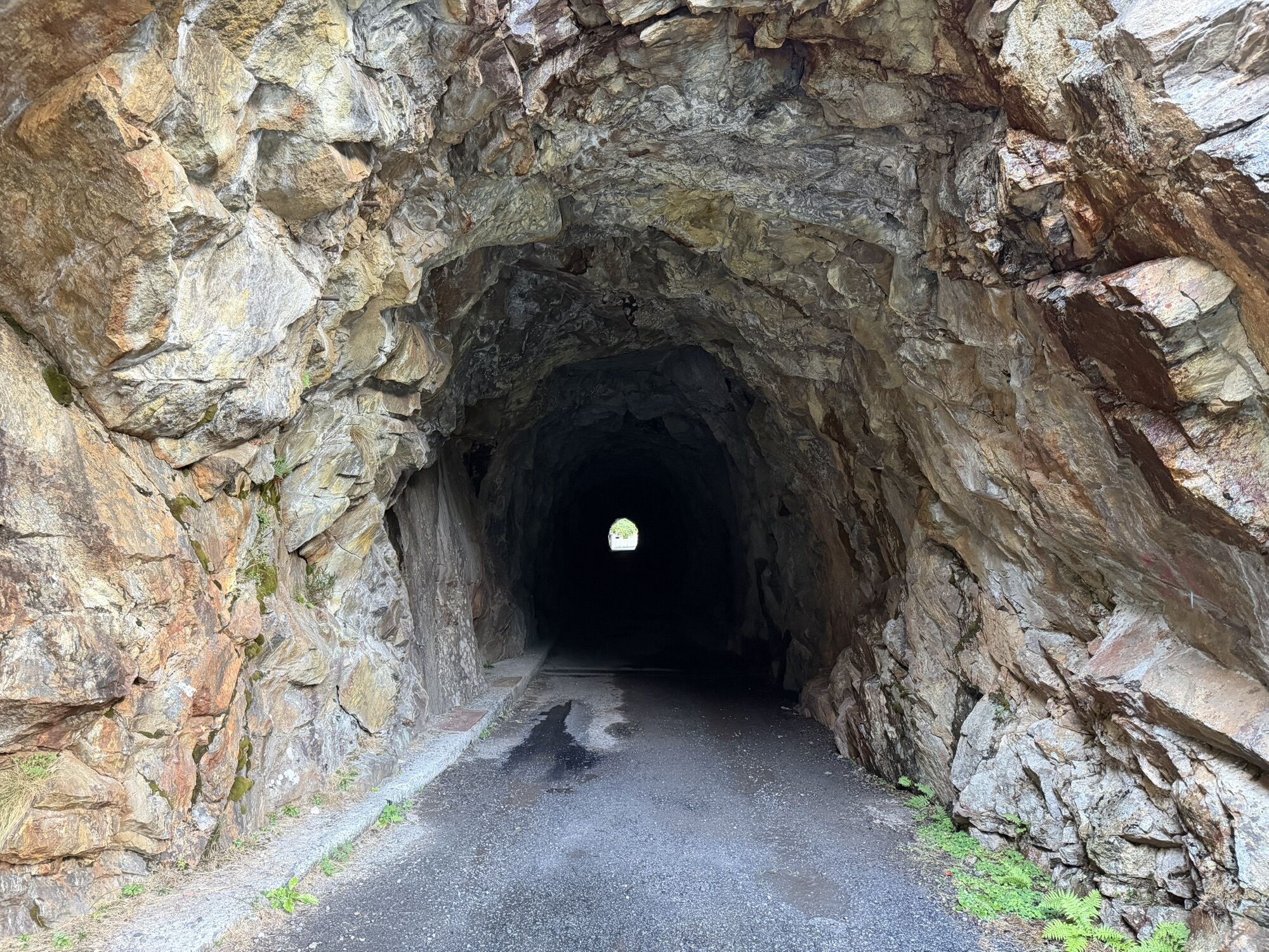
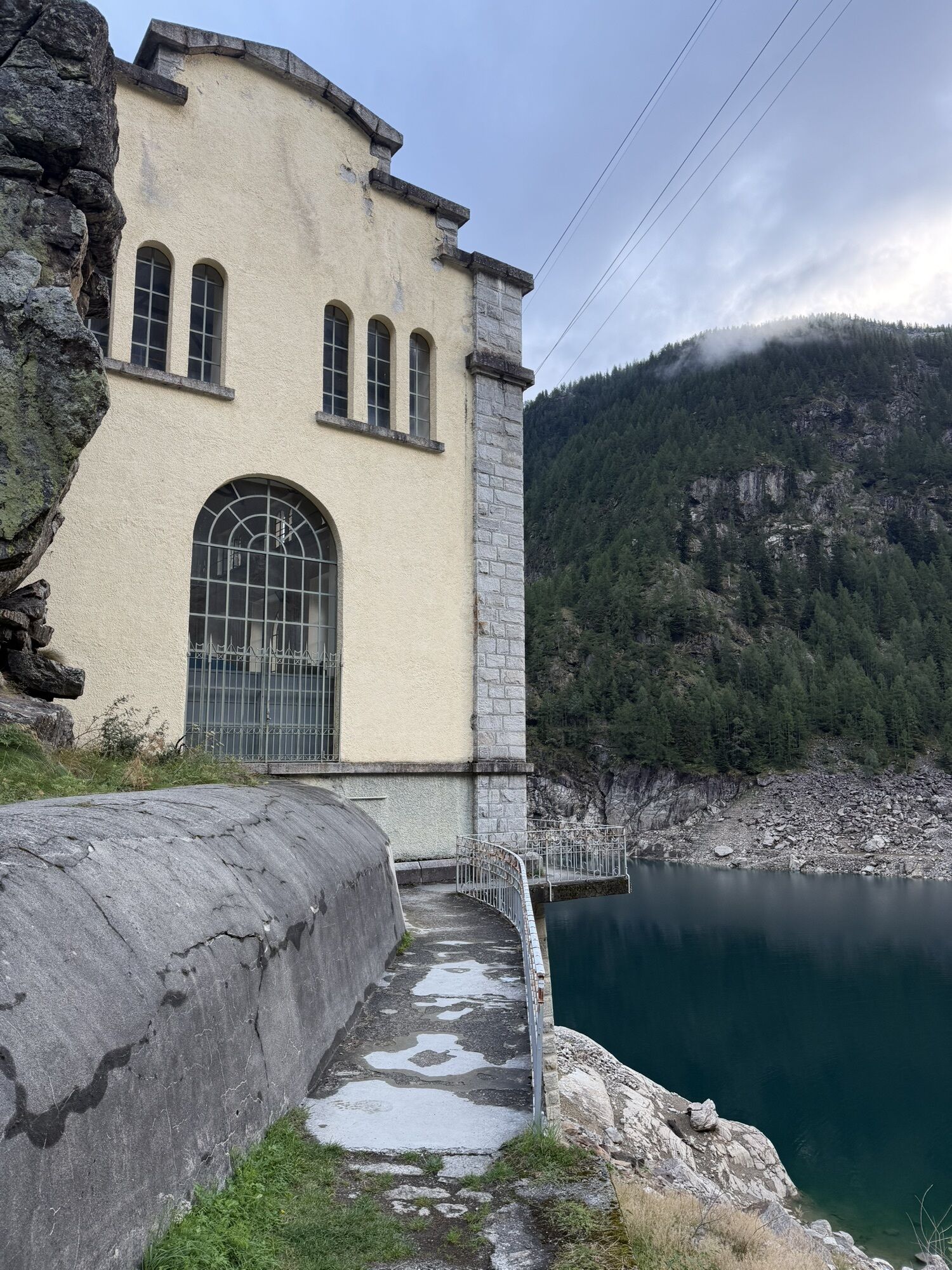
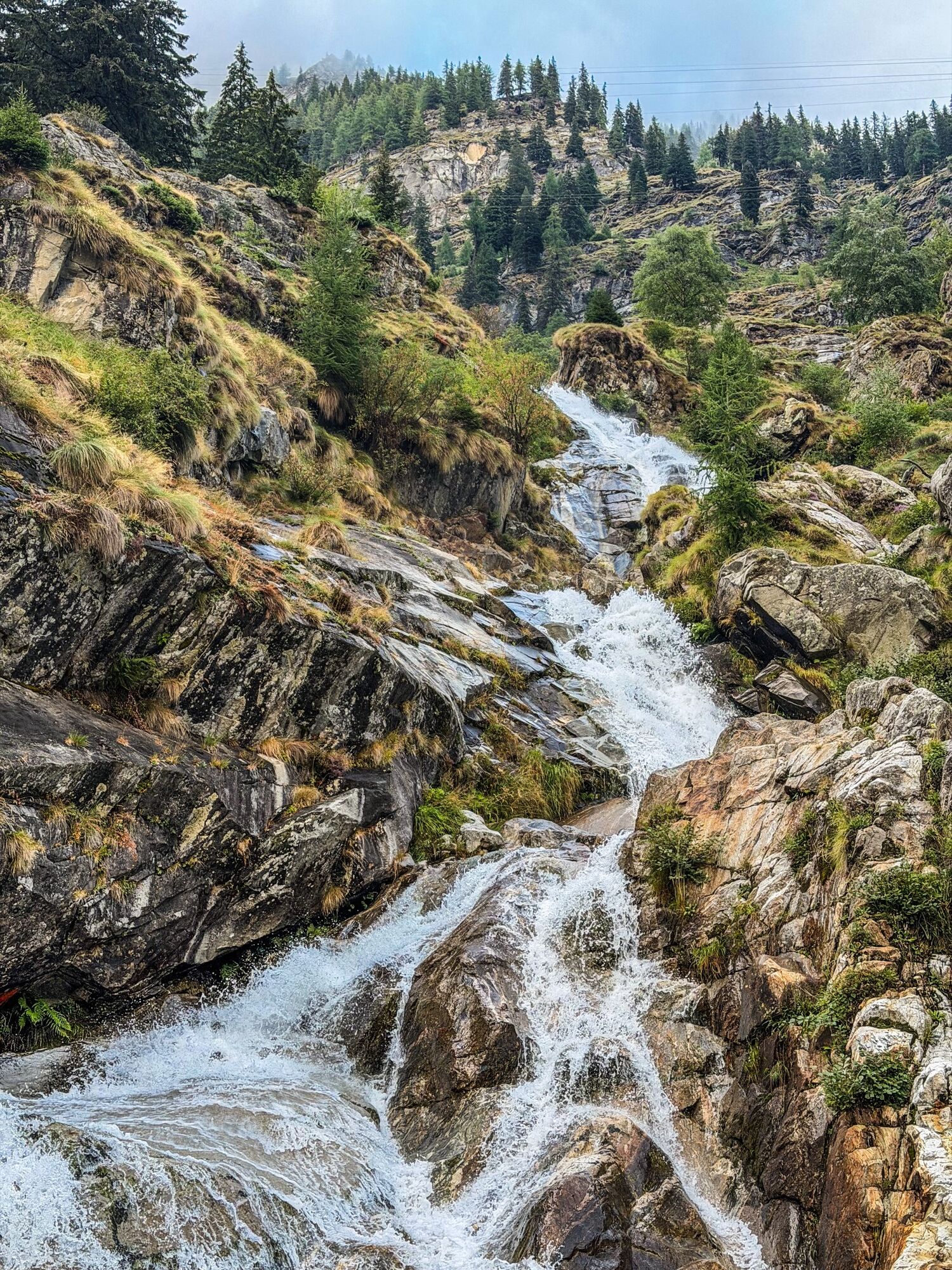
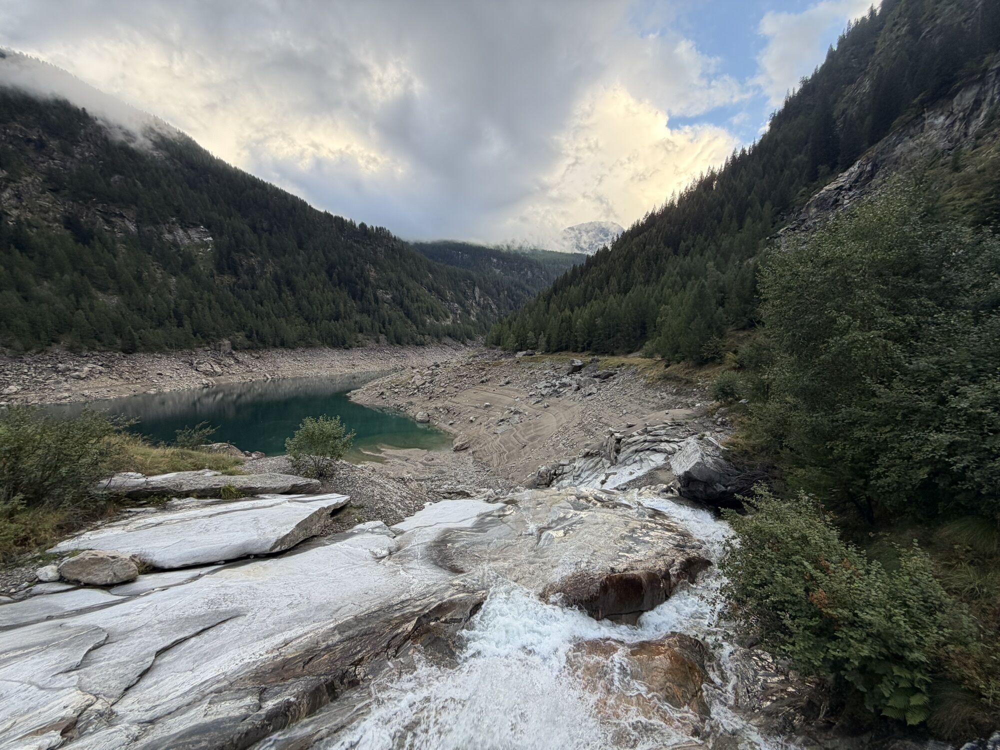
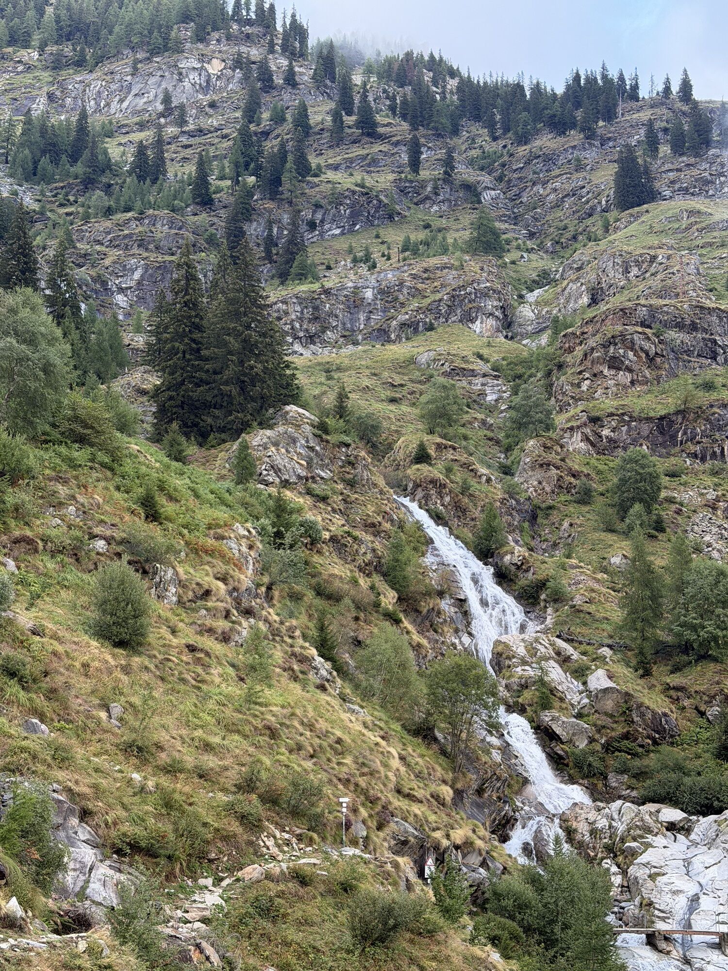
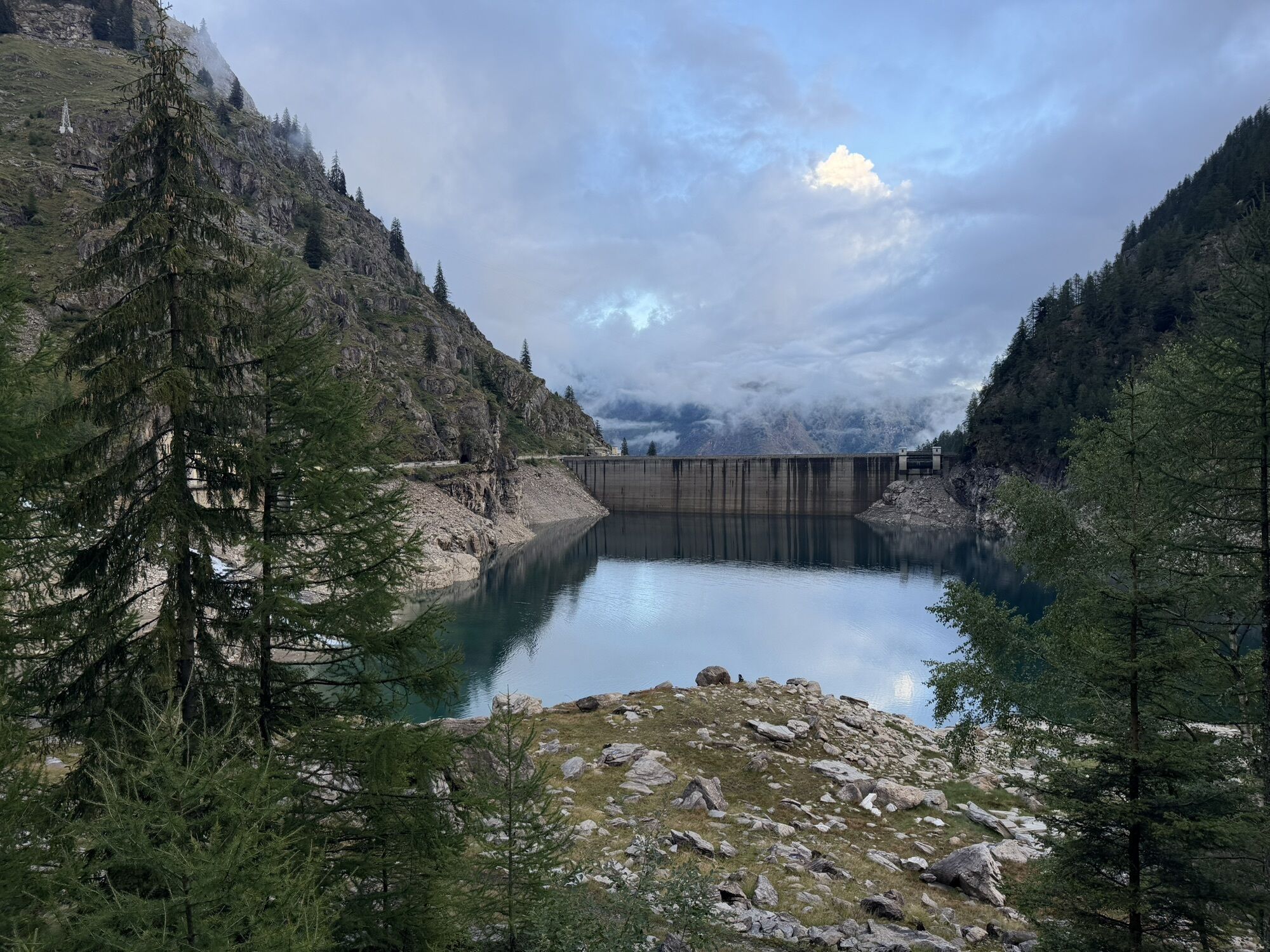
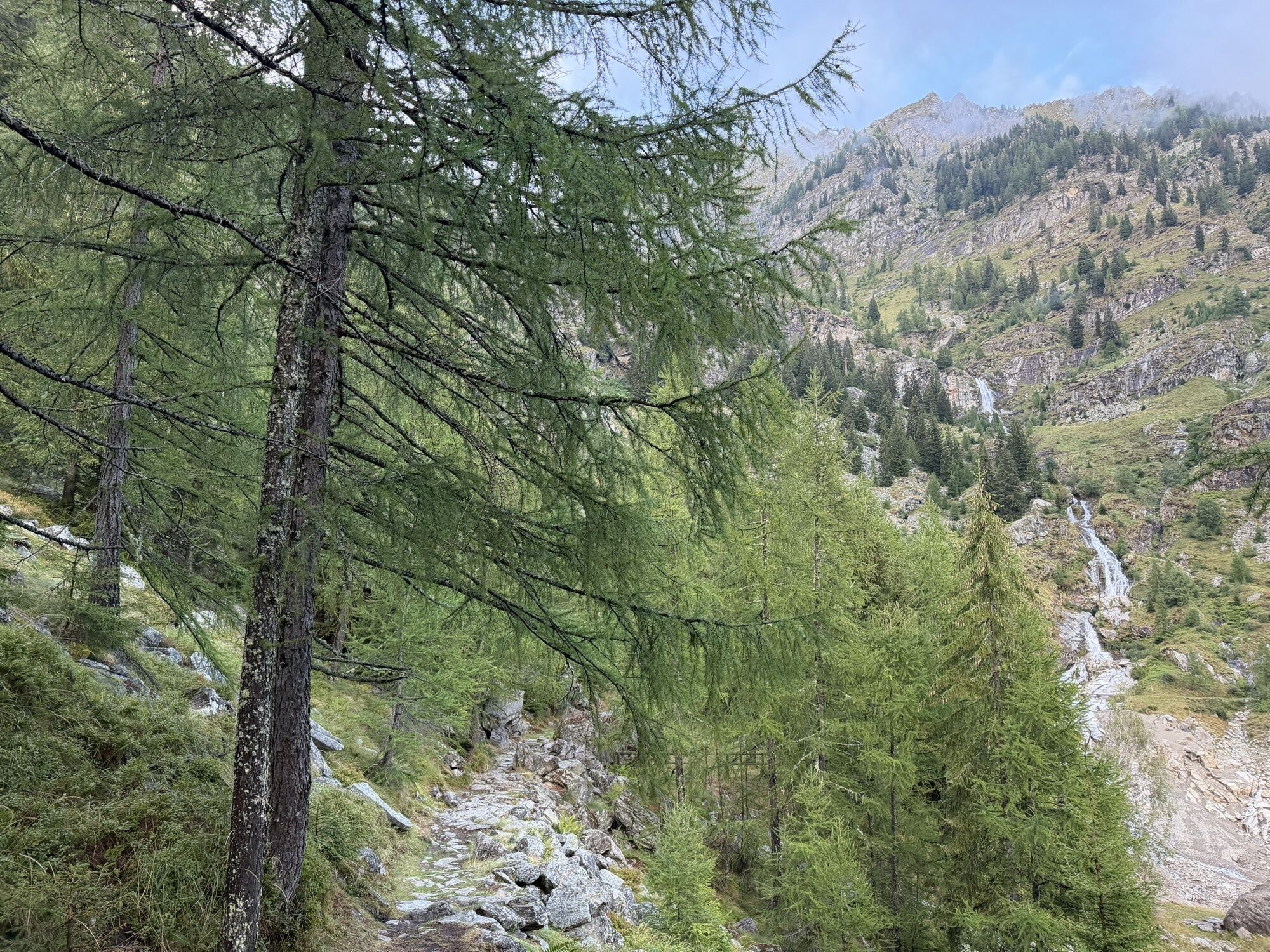
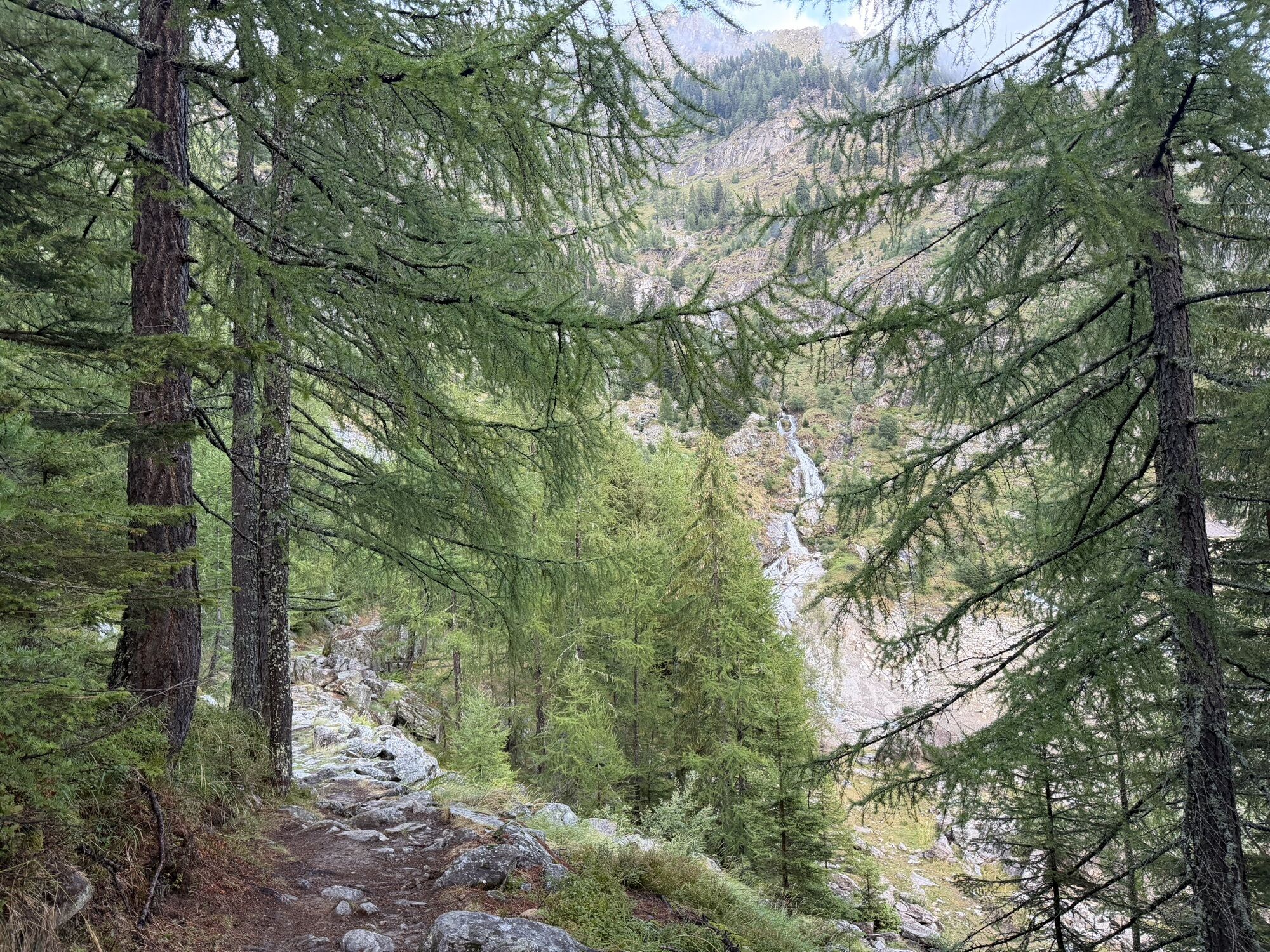
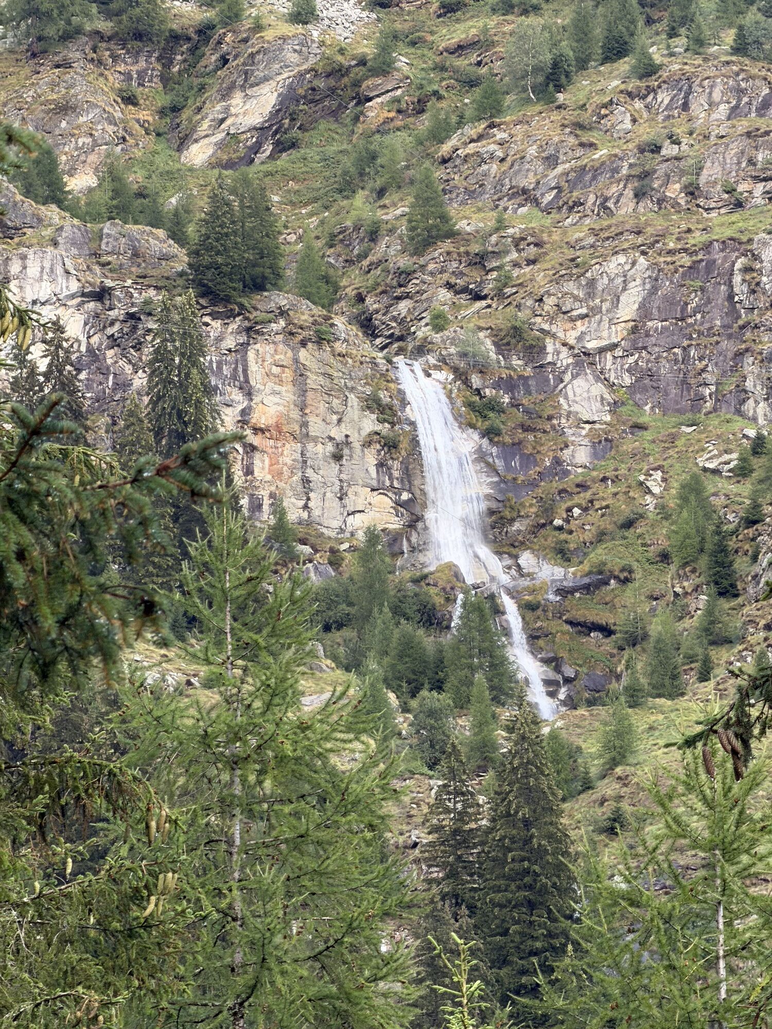
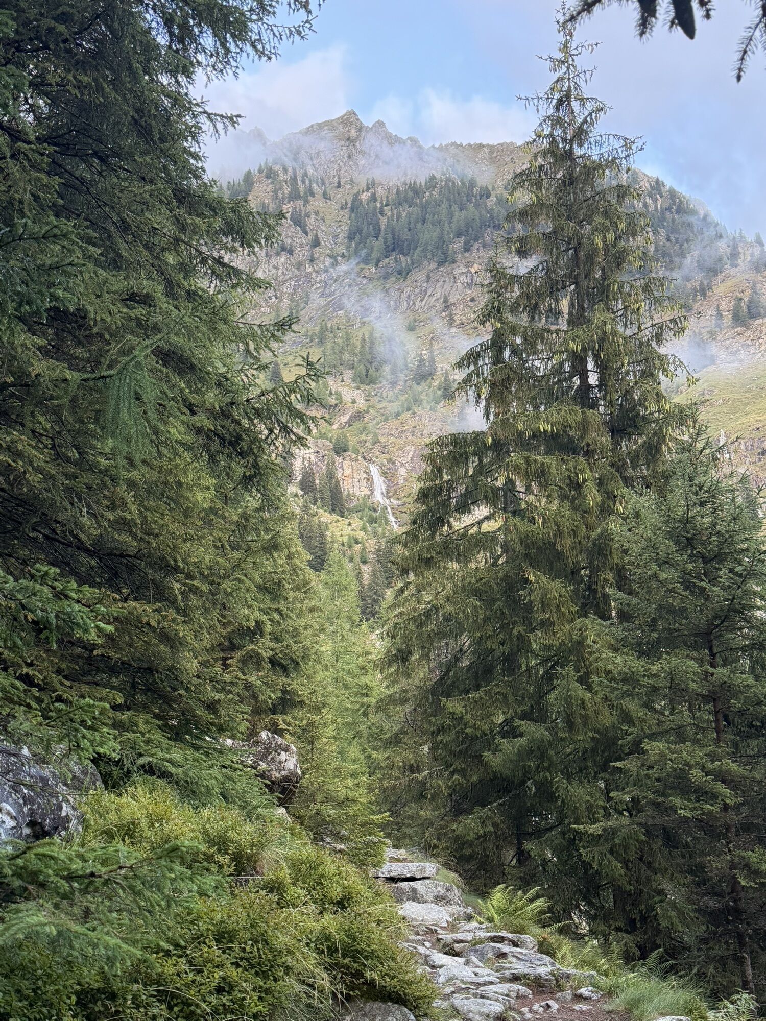

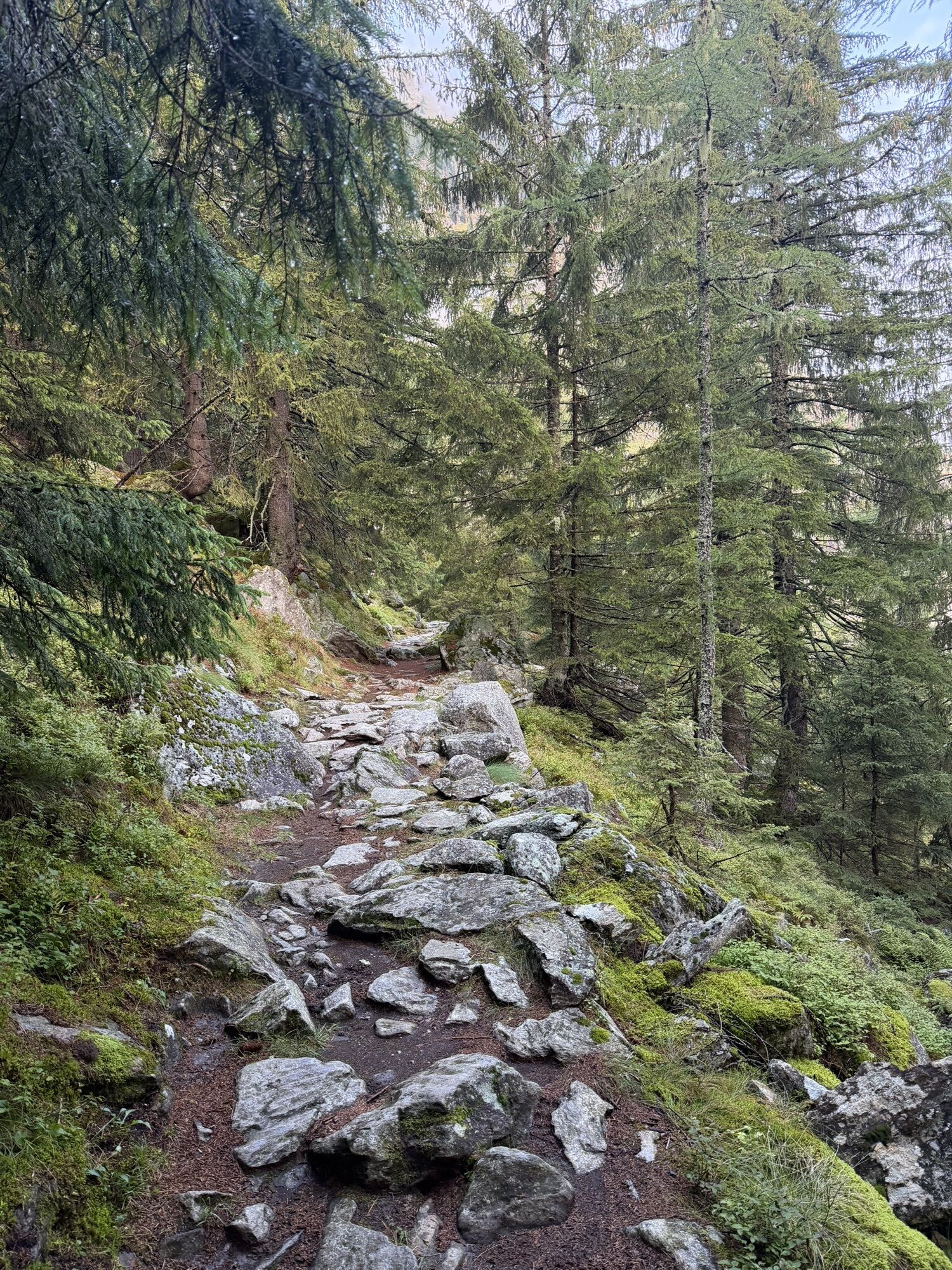
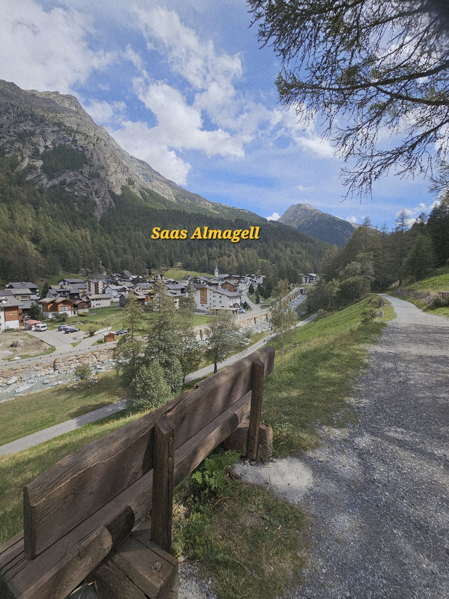
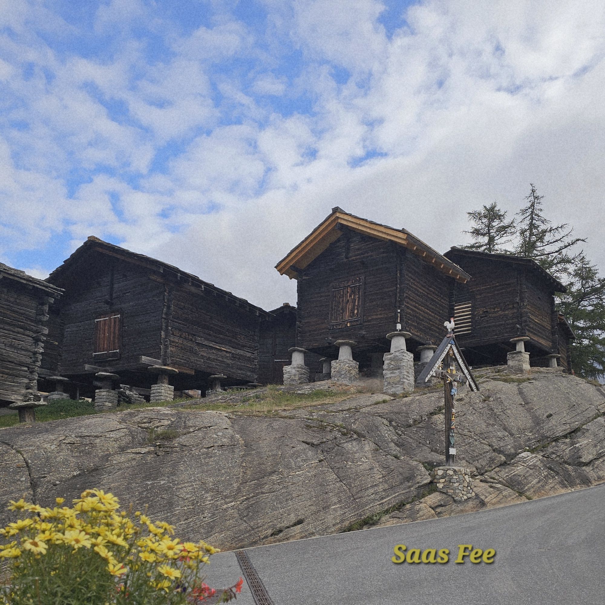
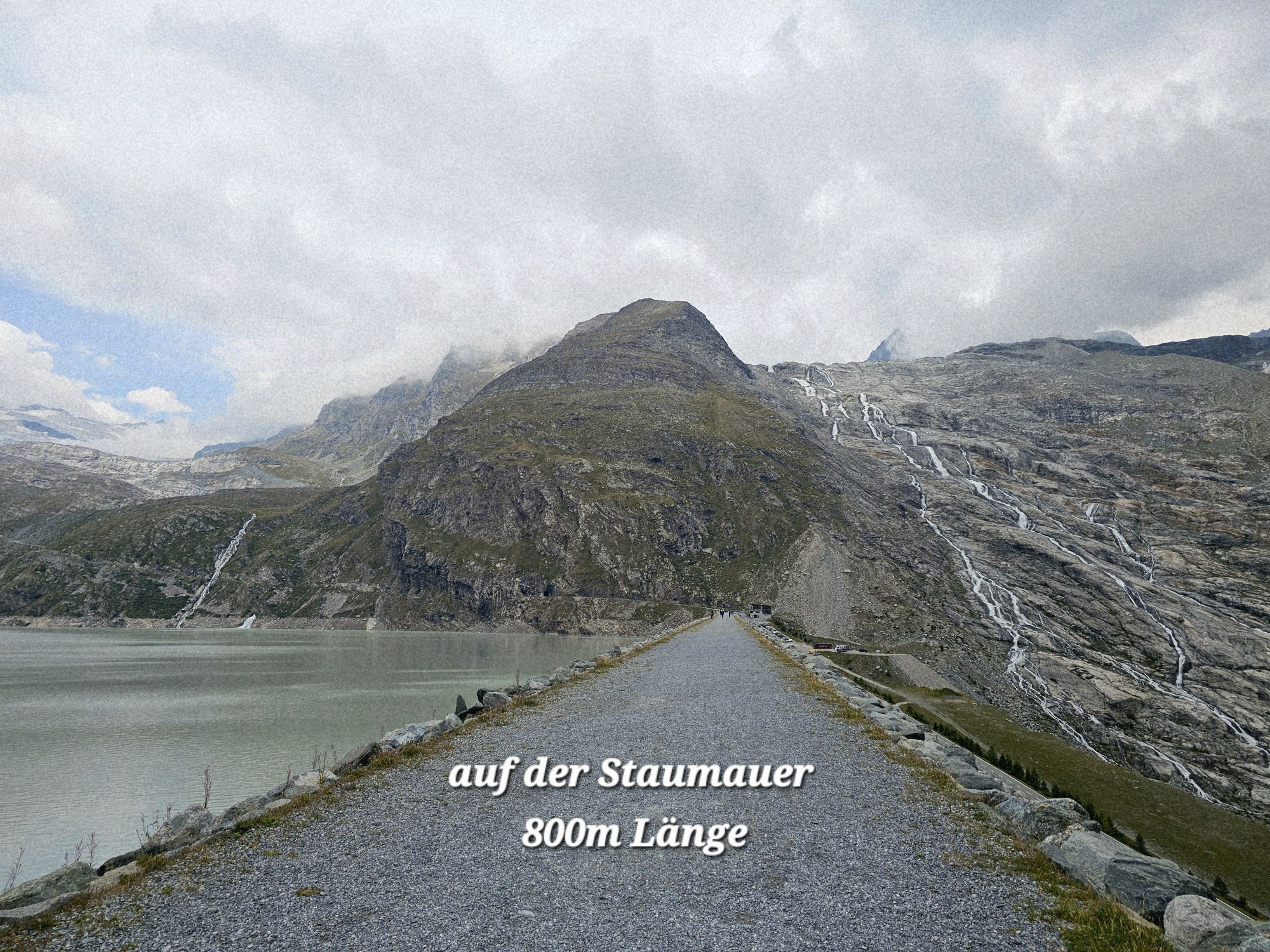
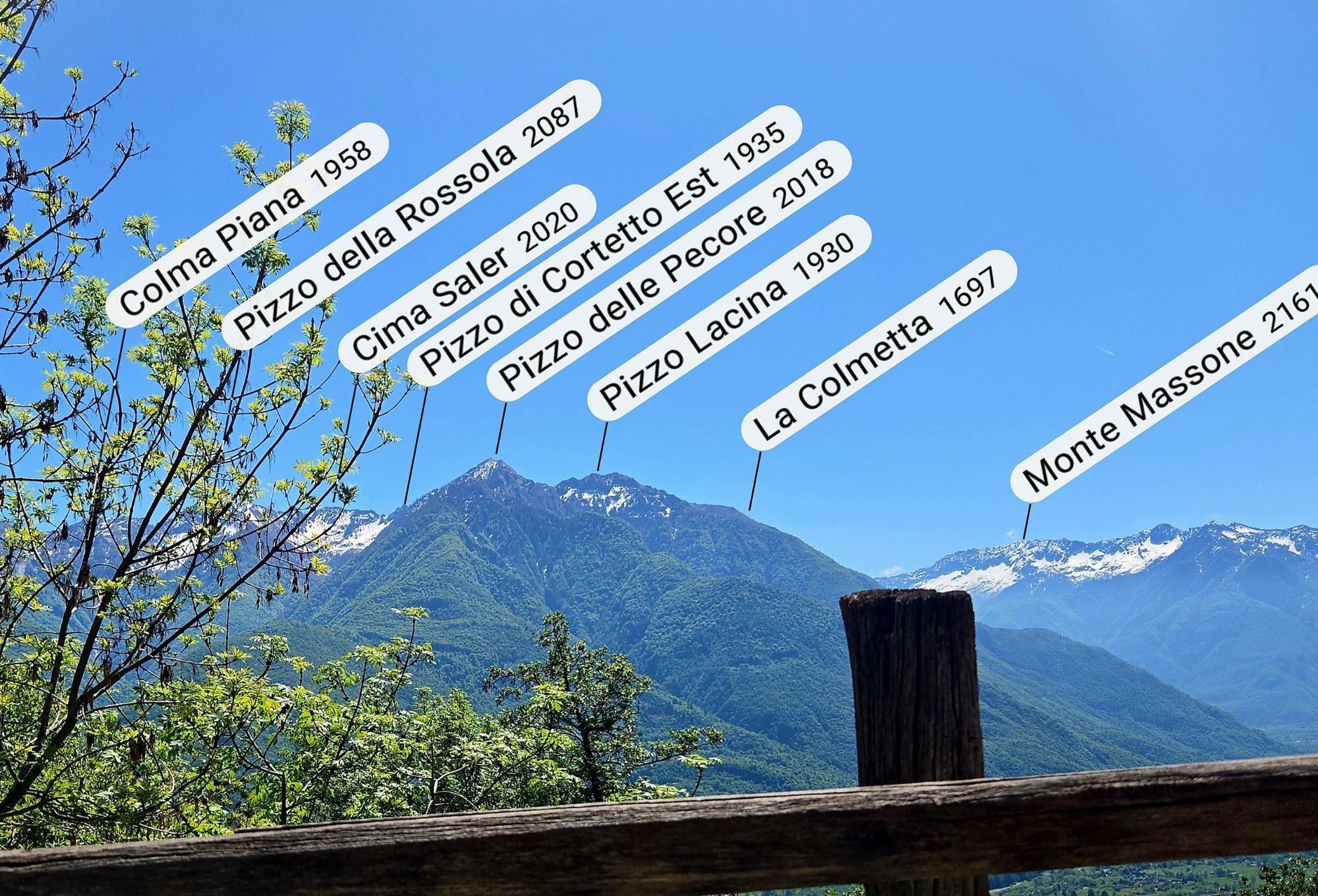
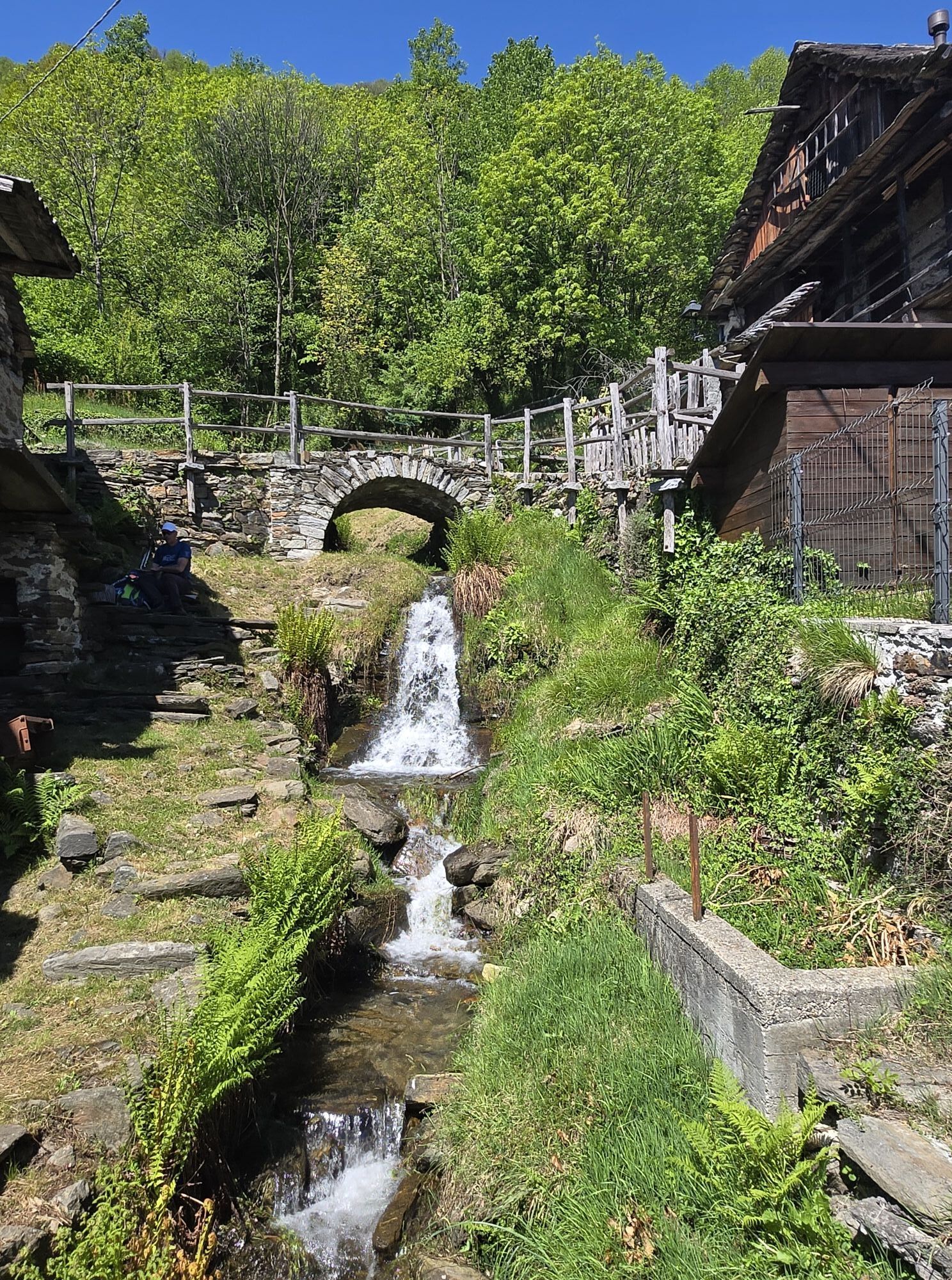
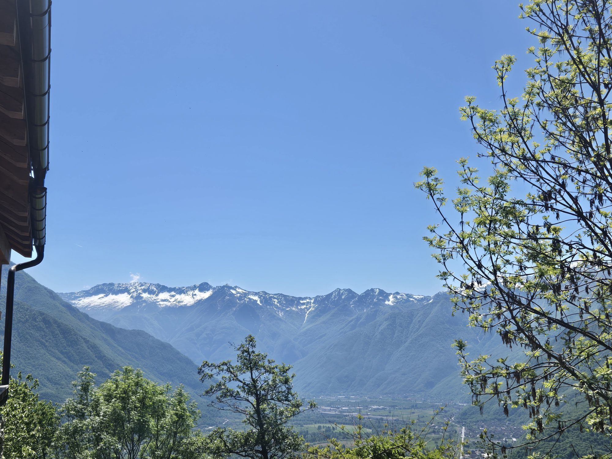
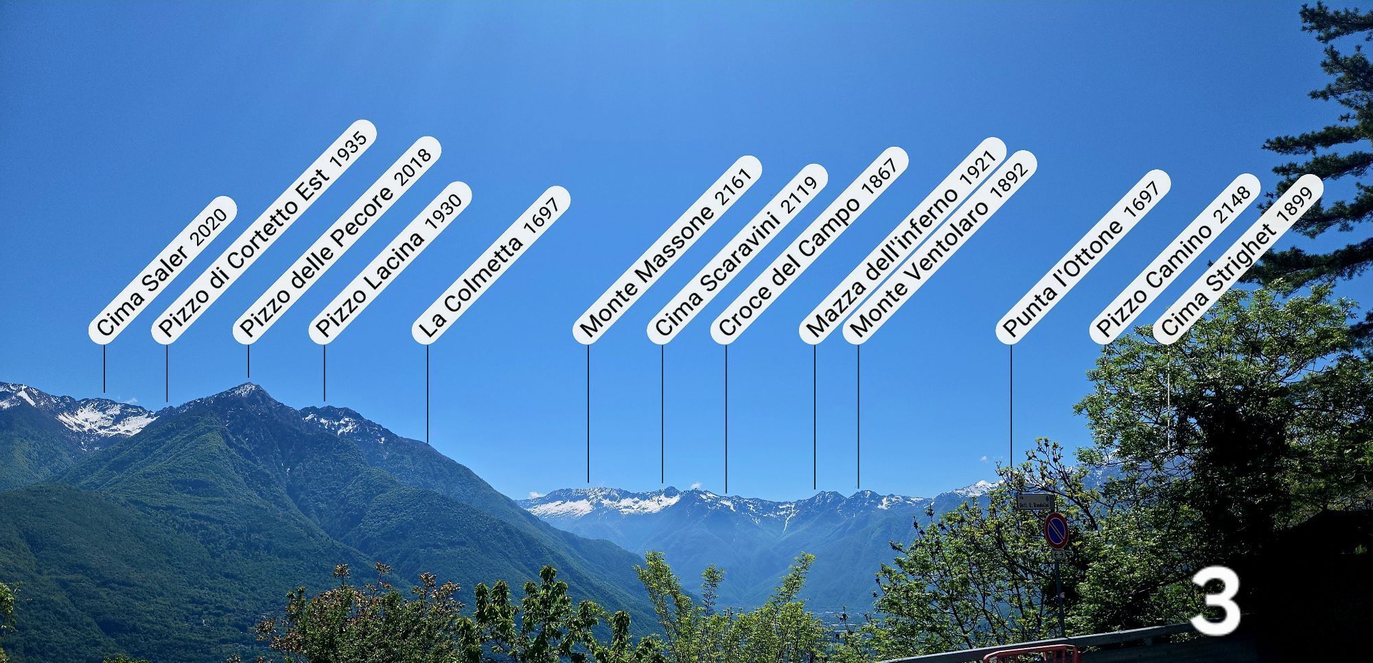
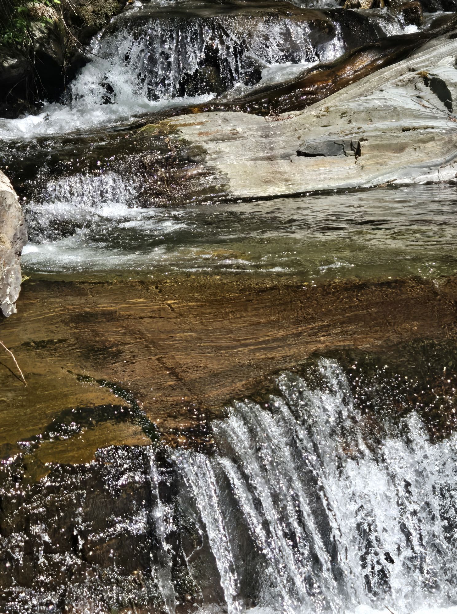
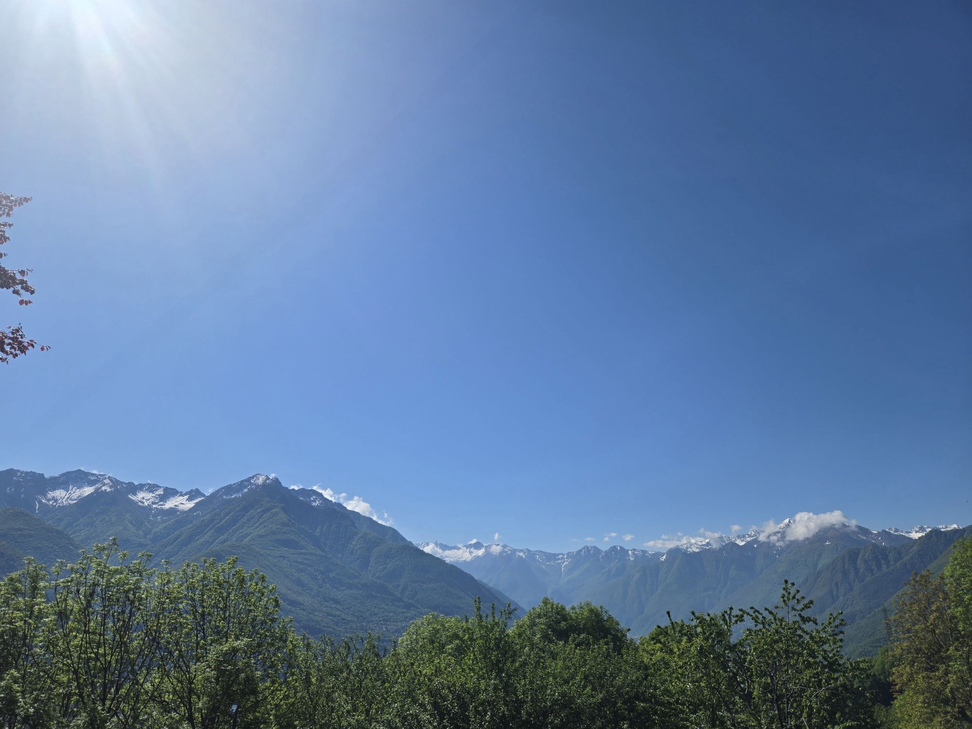
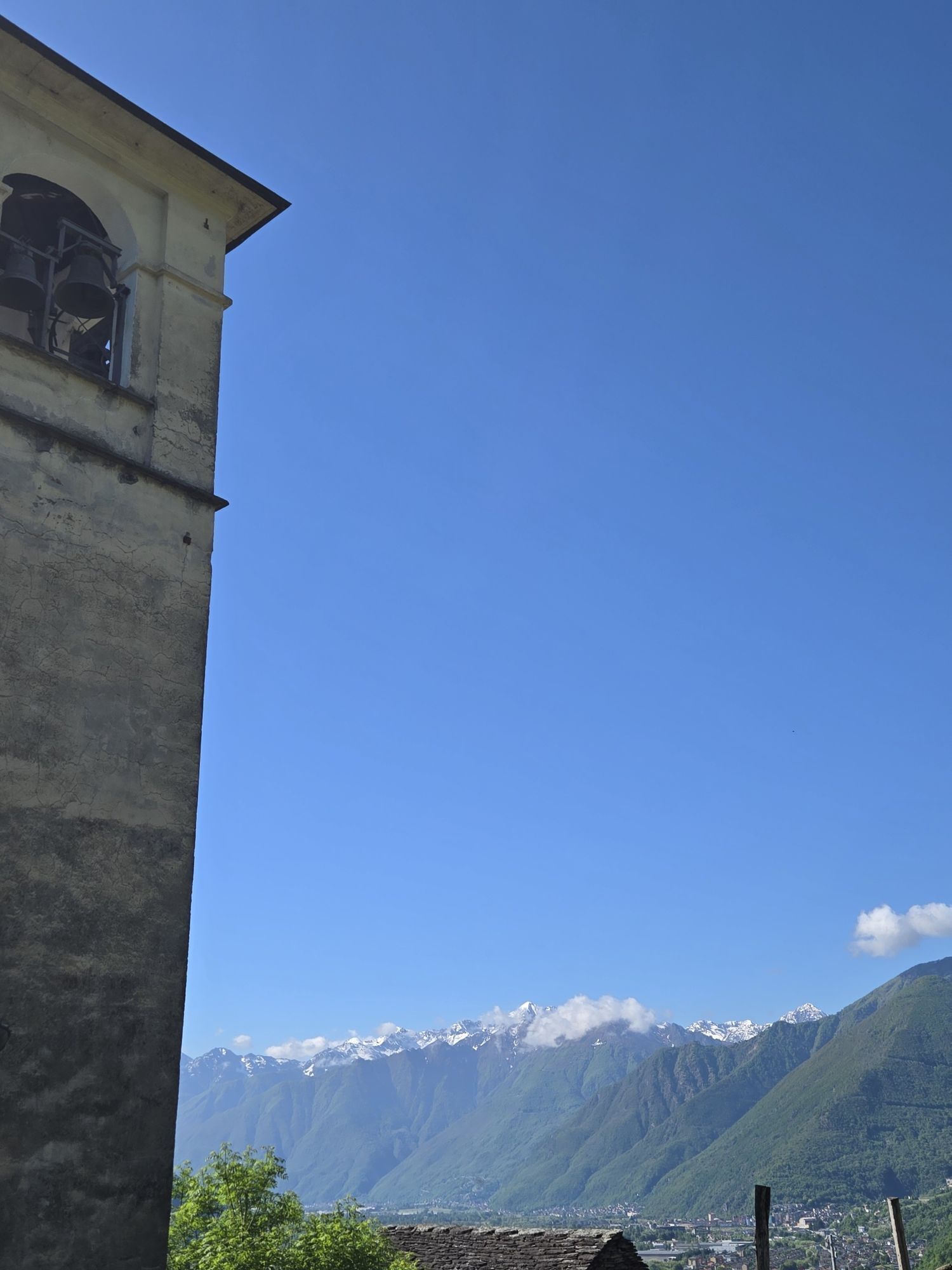
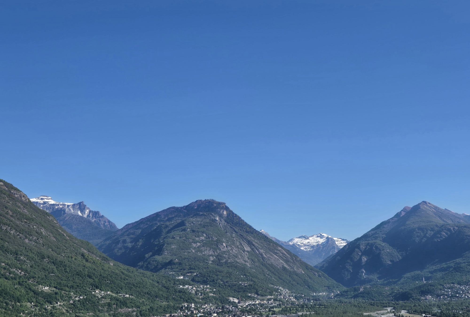
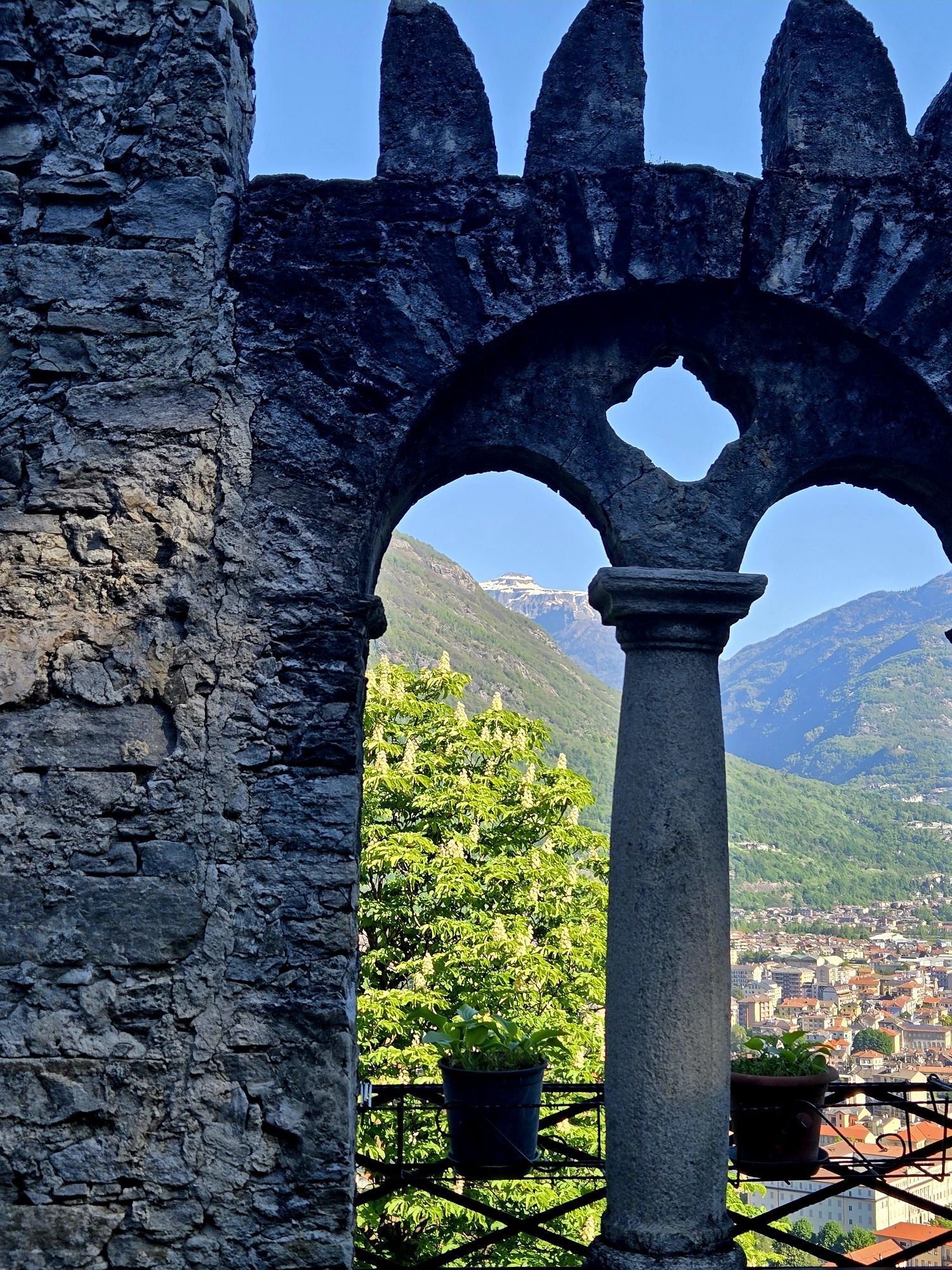
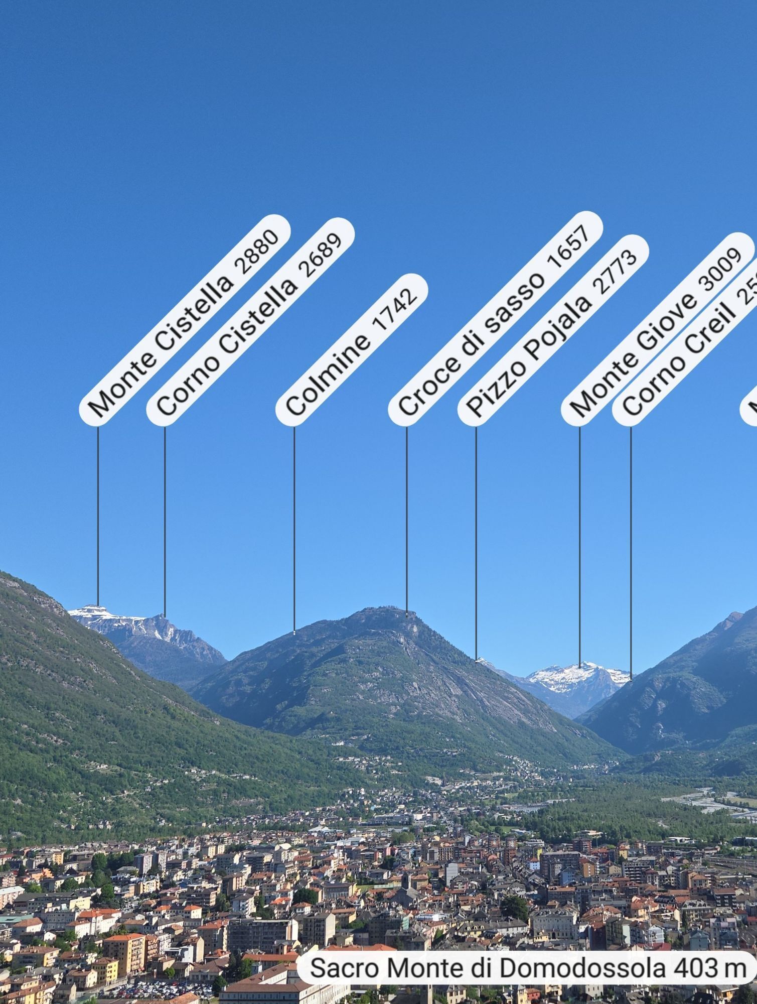
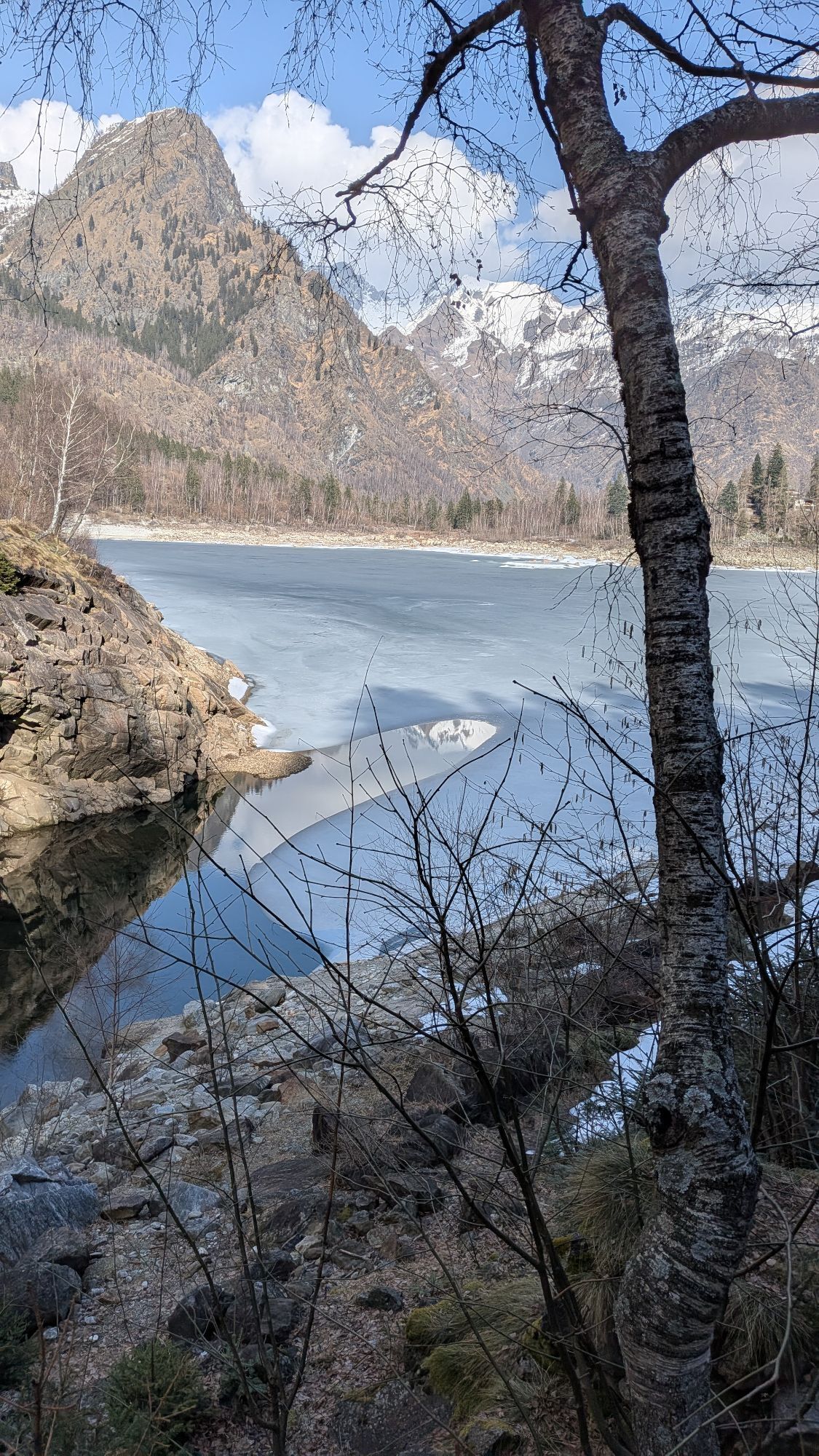
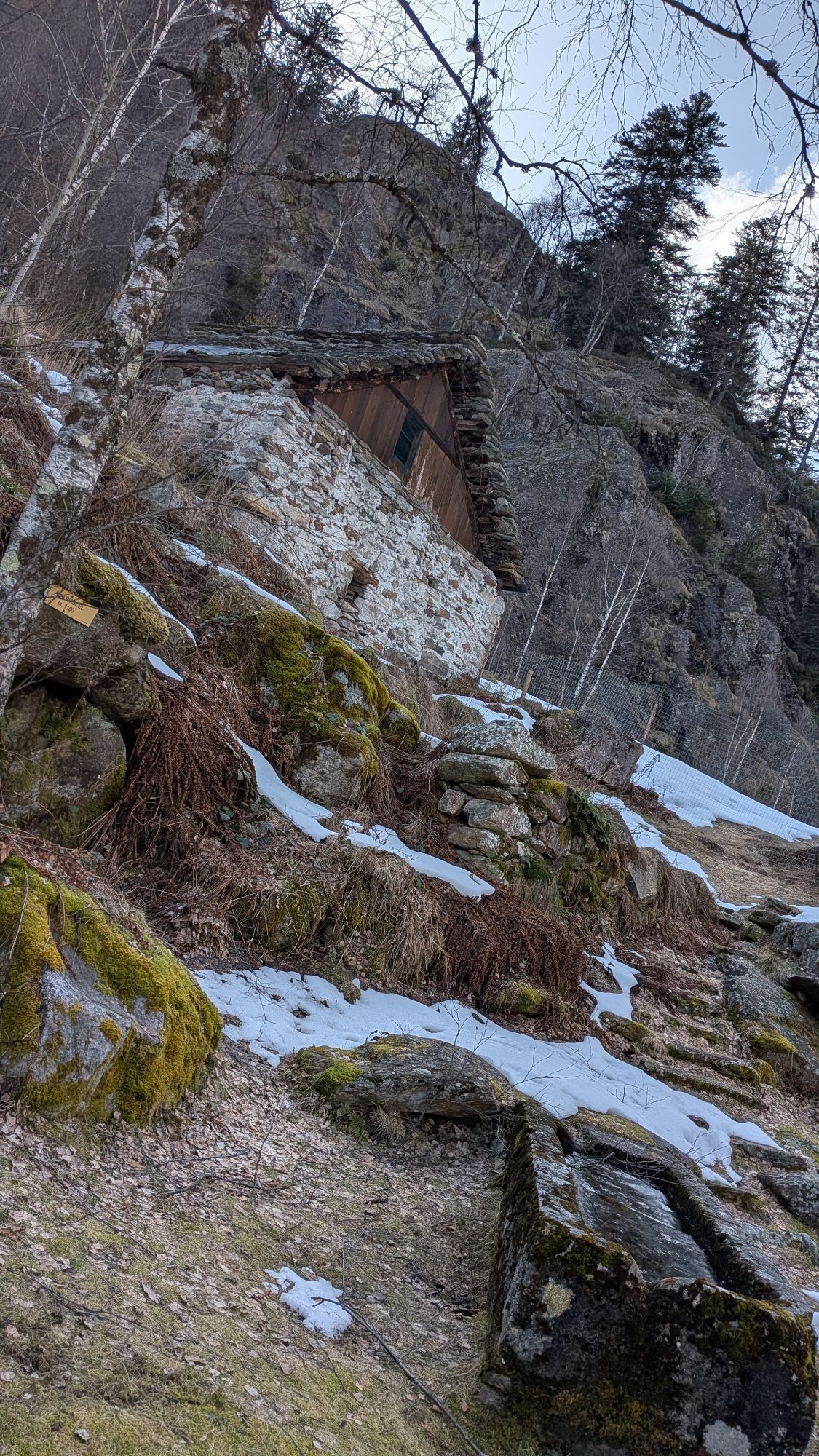
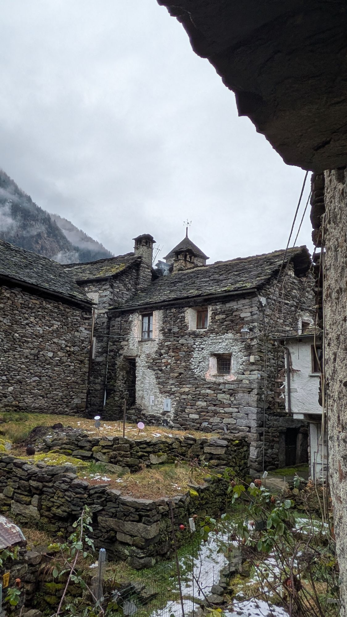
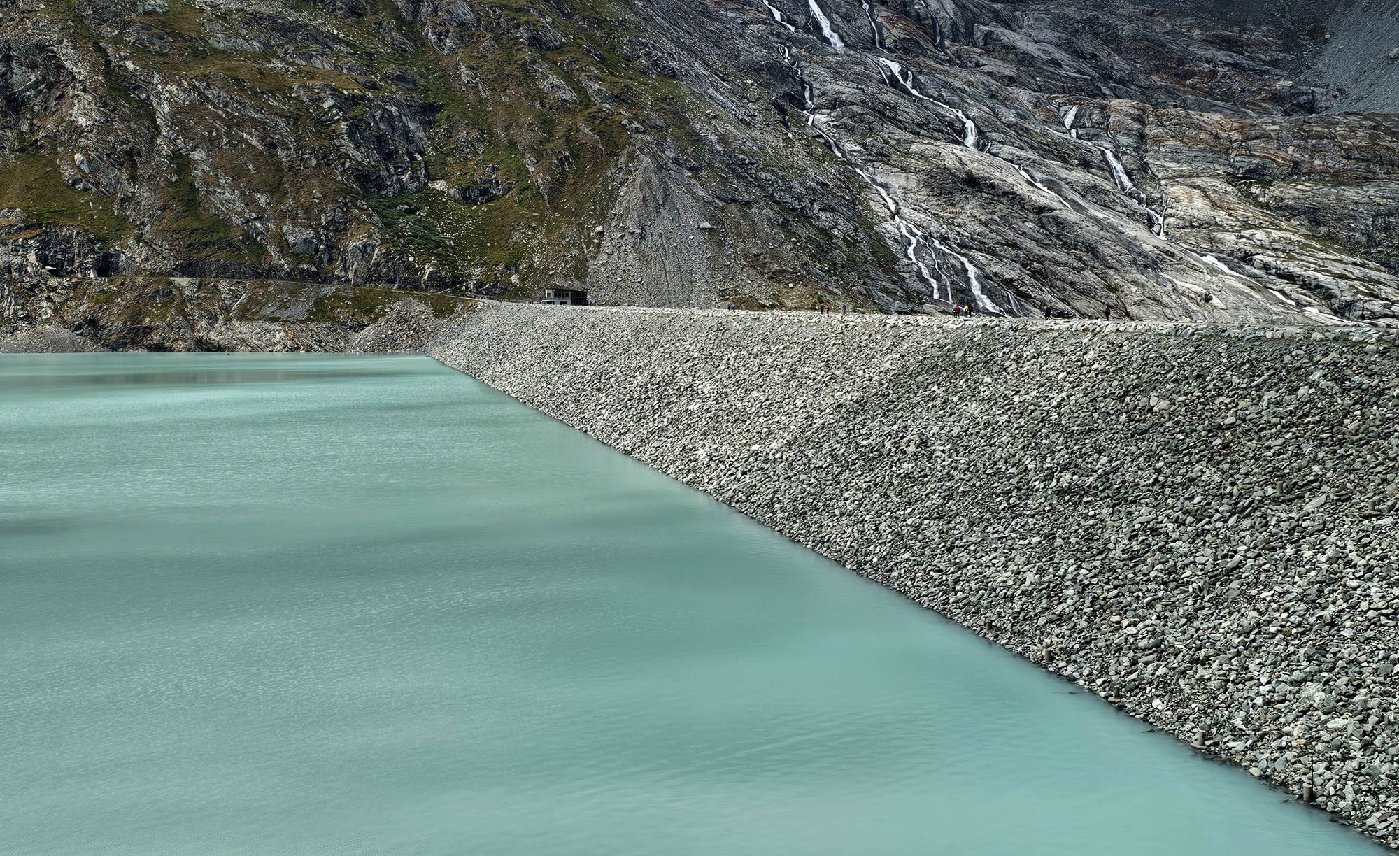
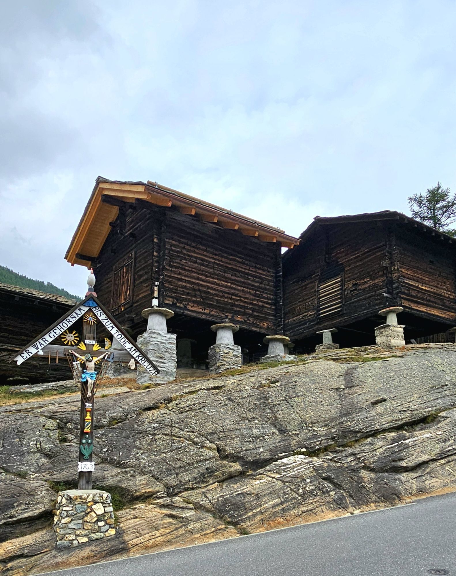
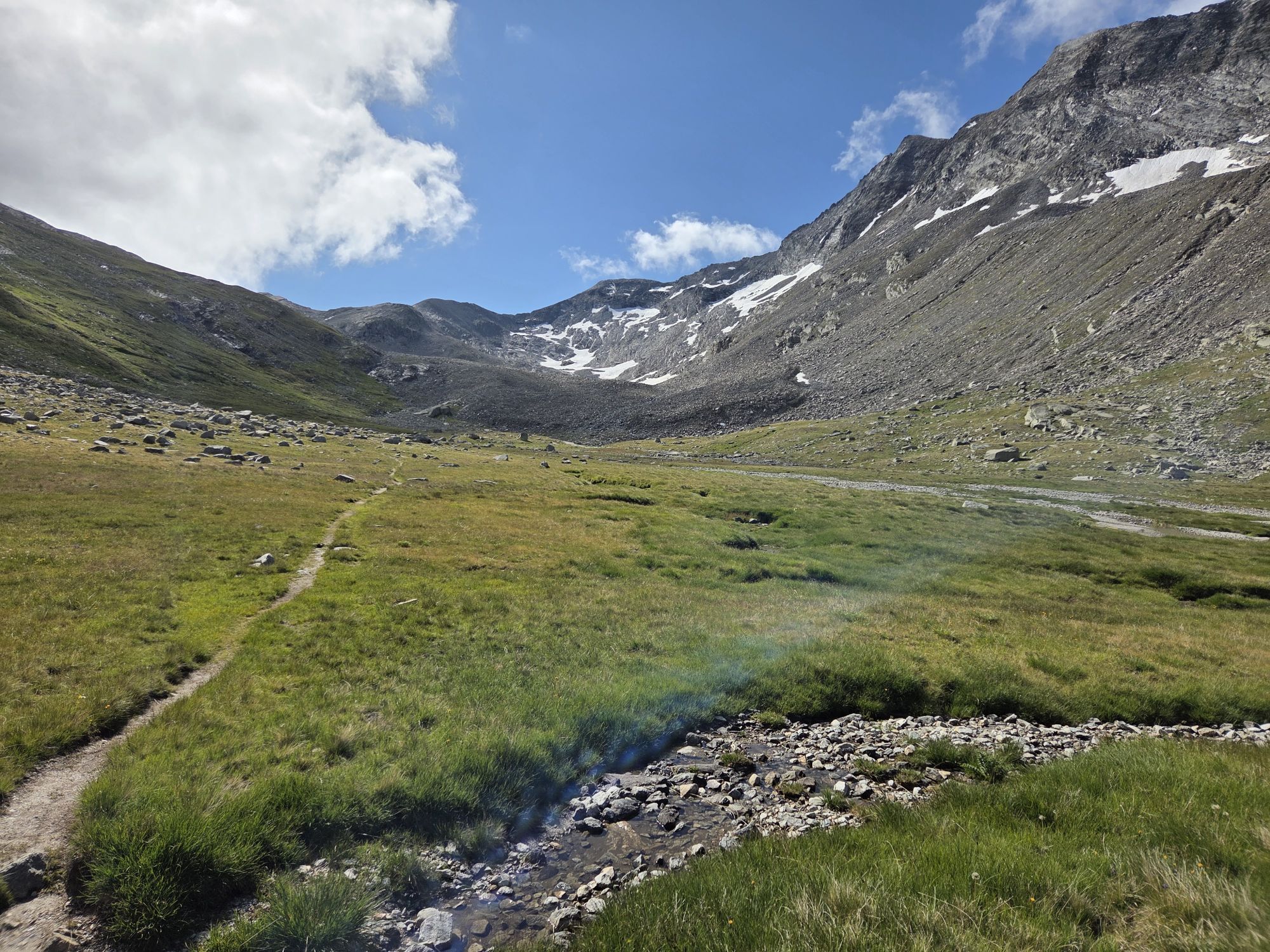
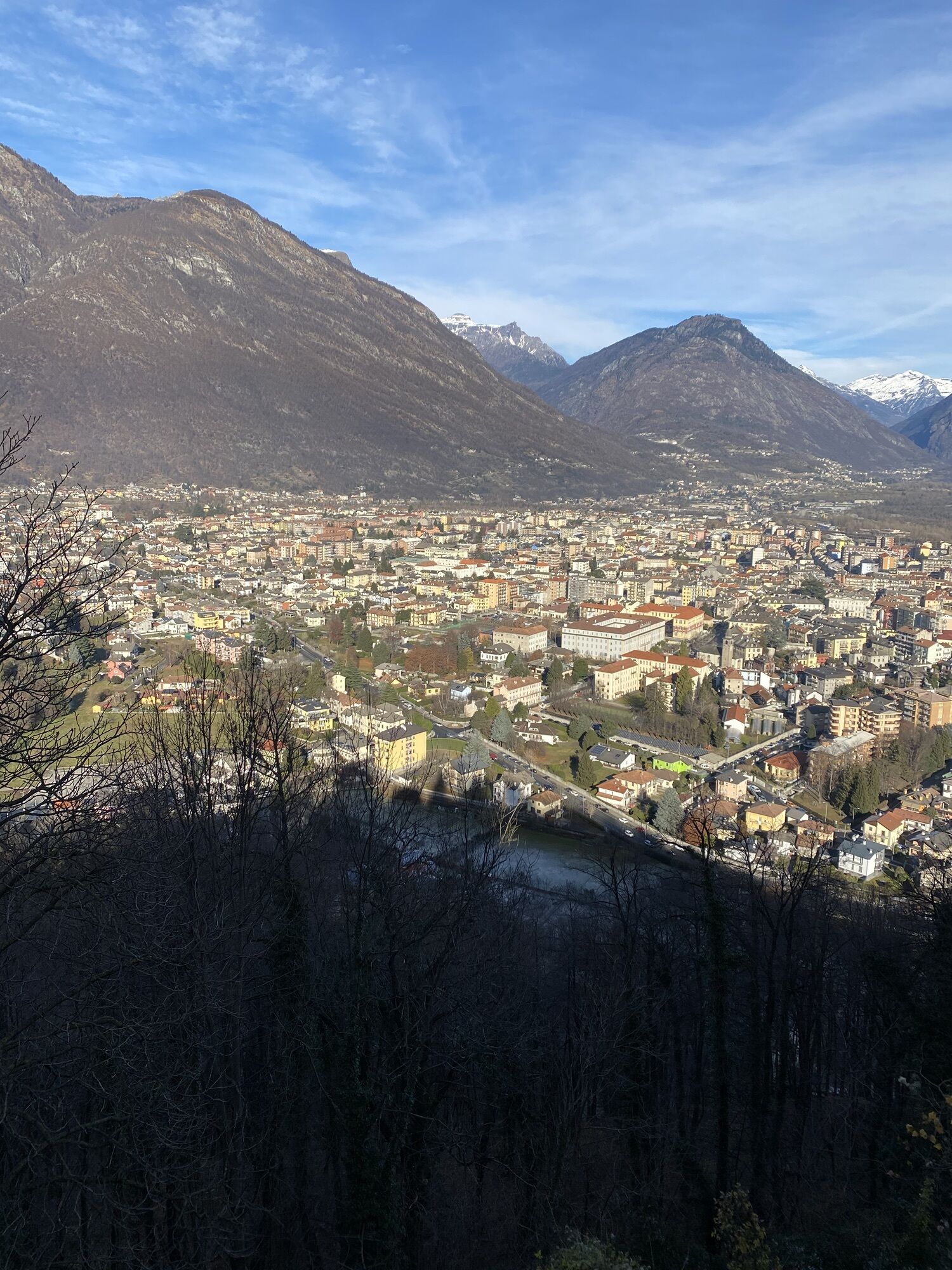
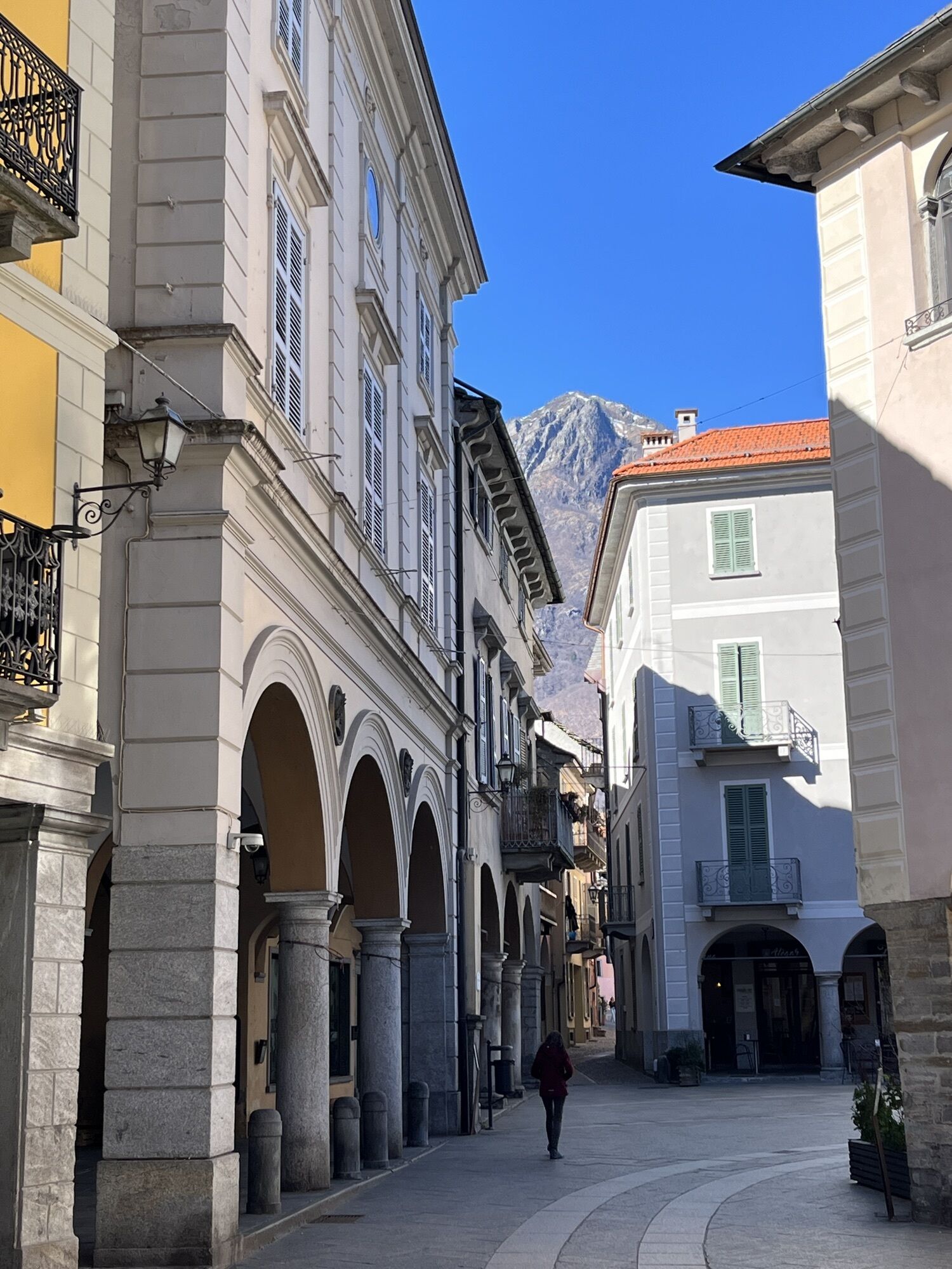
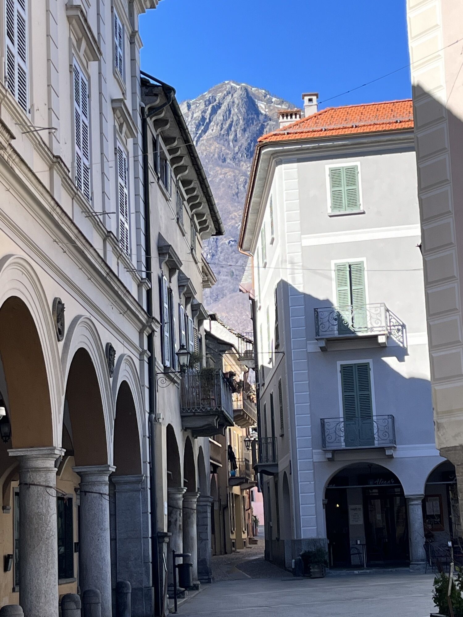
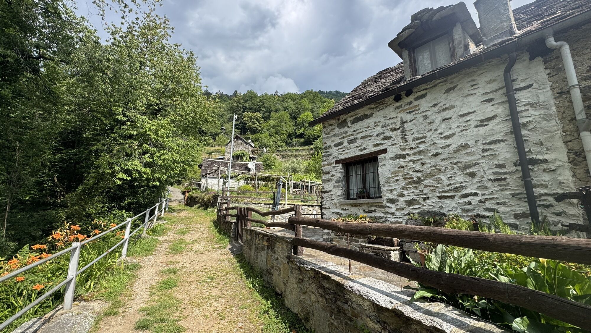
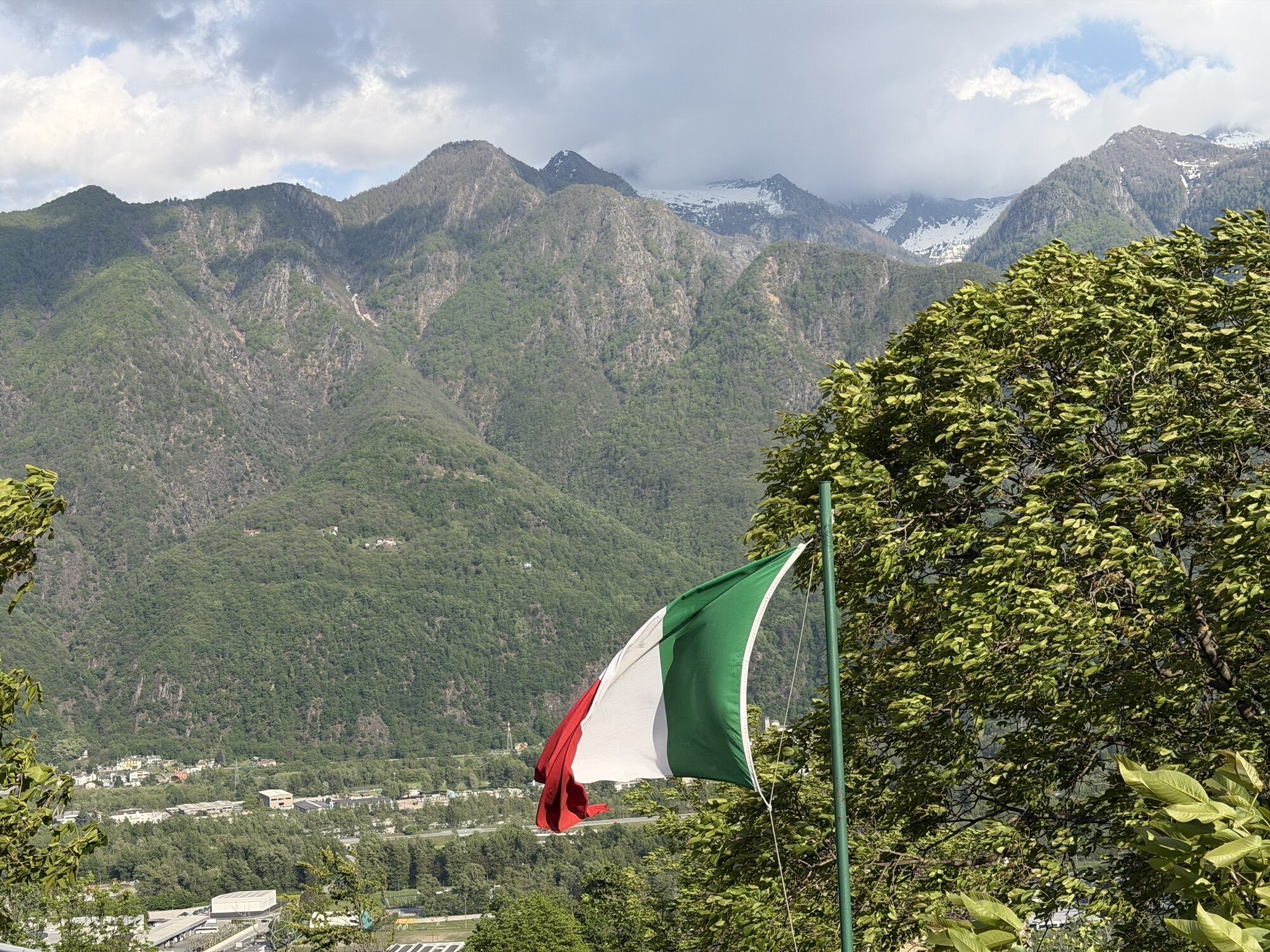
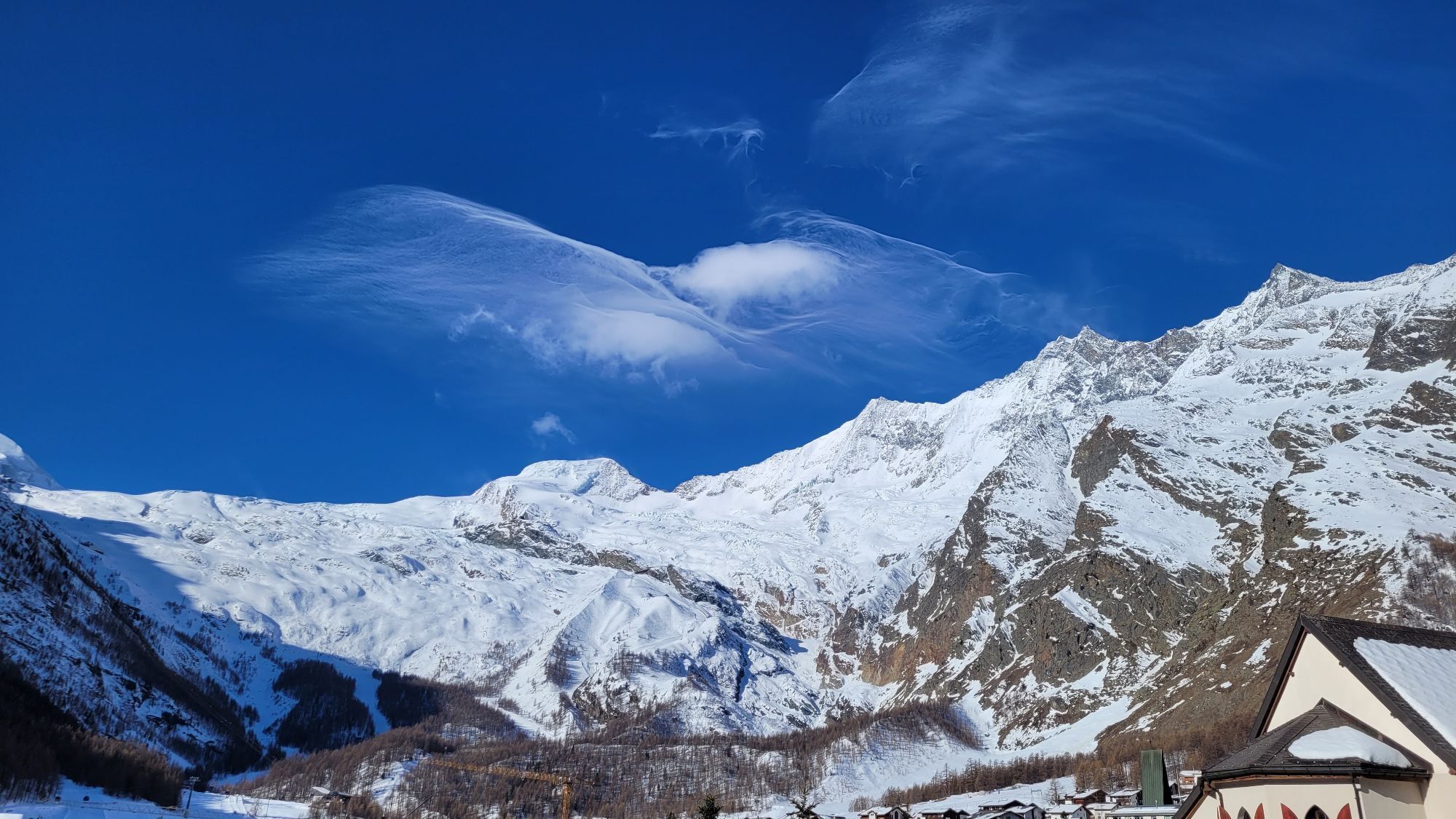
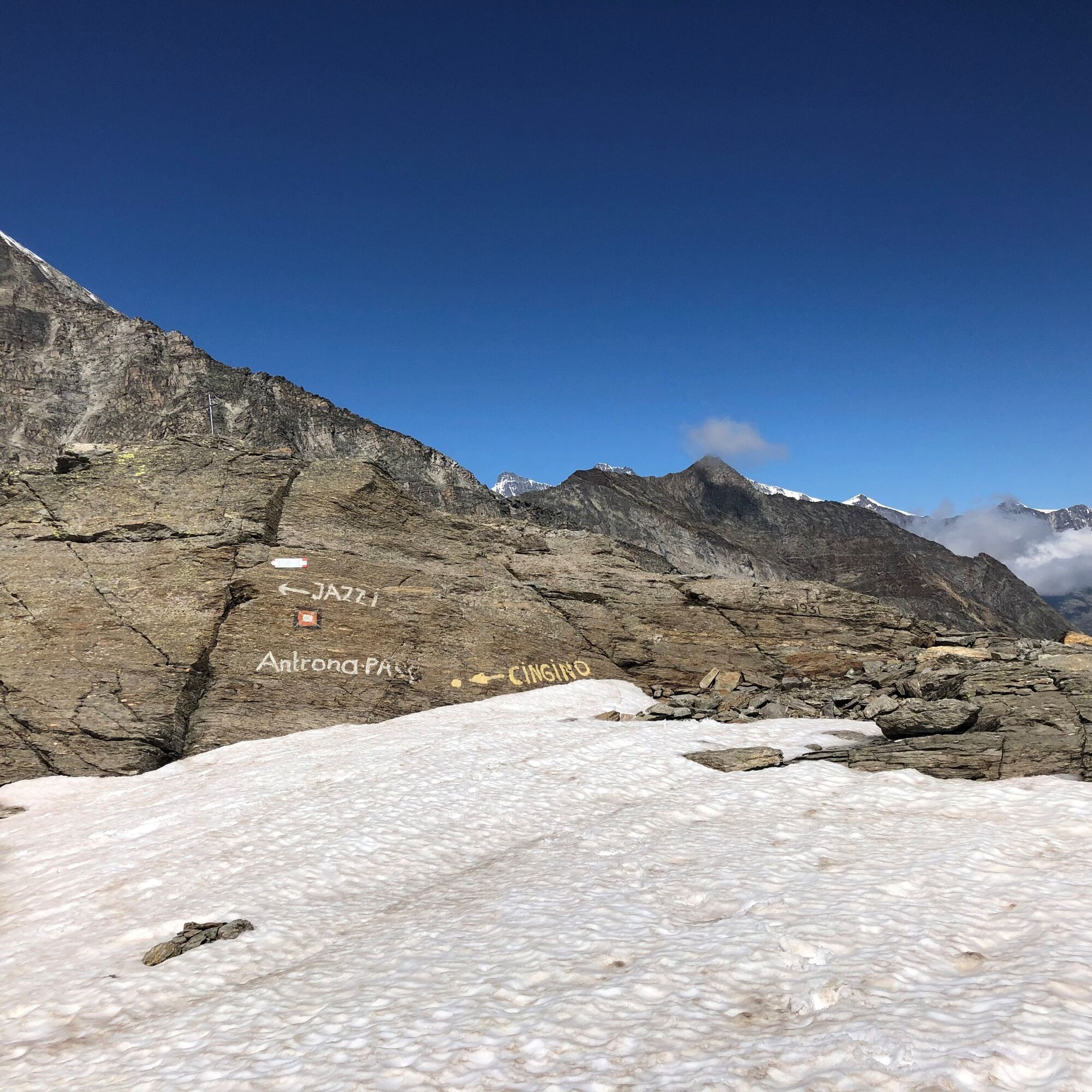
Unique is the pilgrimage route because of its high alpine character. The route is also physically challenging, as the highest point, the Antrona Pass (Passo di Saas), is at 2838 meters above sea level....
Unique is the pilgrimage route because of its high alpine character. The route is also physically challenging, as the highest point, the Antrona Pass (Passo di Saas), is at 2838 meters above sea level. Good route planning and self-assessment are prerequisites for this high alpine hiking route.
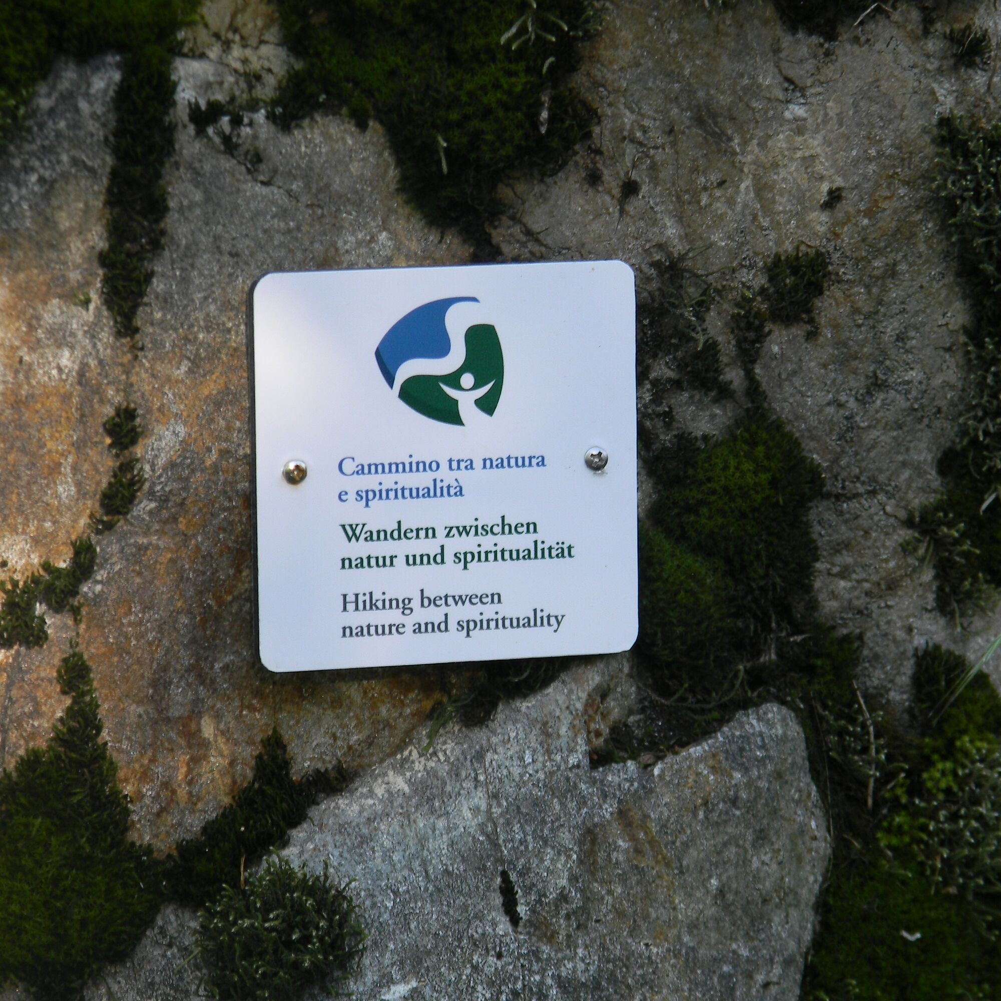
Developed within the framework of a cross-border Interreg project (INTERREG), the hiking route was officially opened in summer 2015. Along the way, pilgrims discover many stations that invite reflection and pause as well as provide background information about the region.
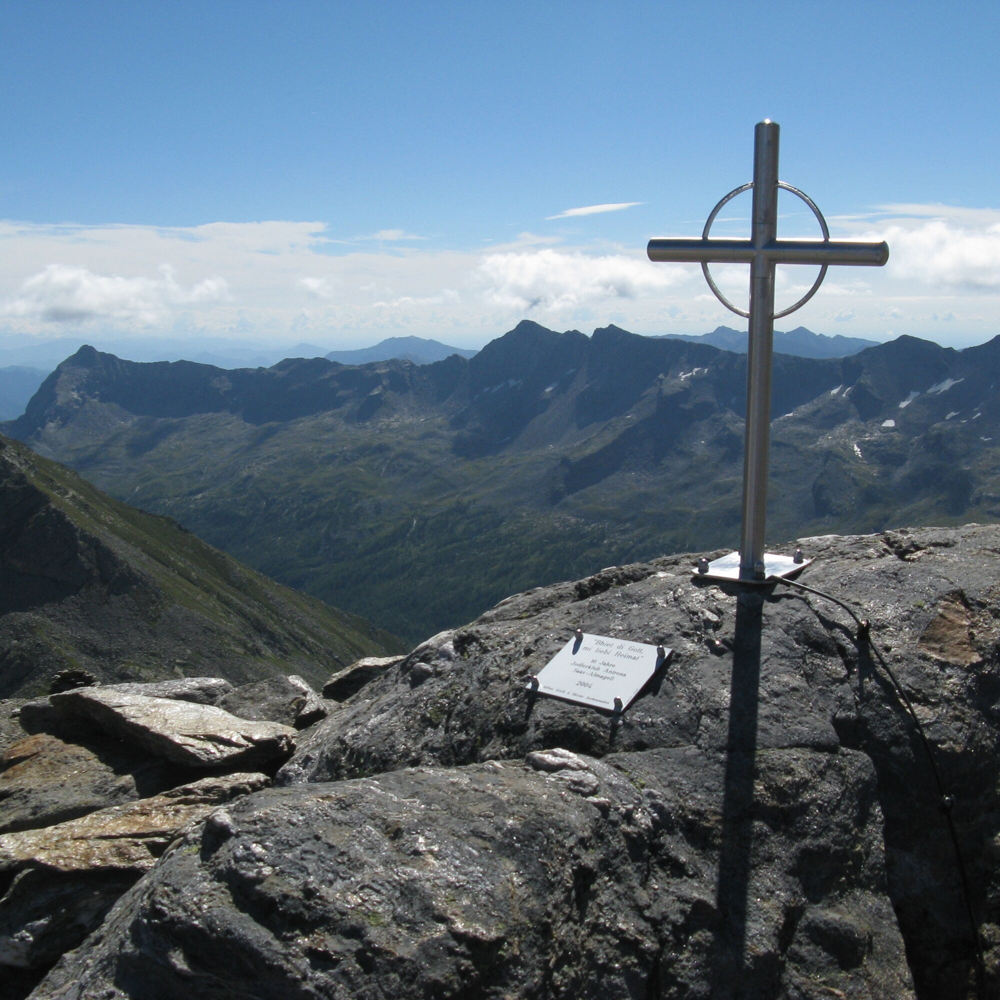
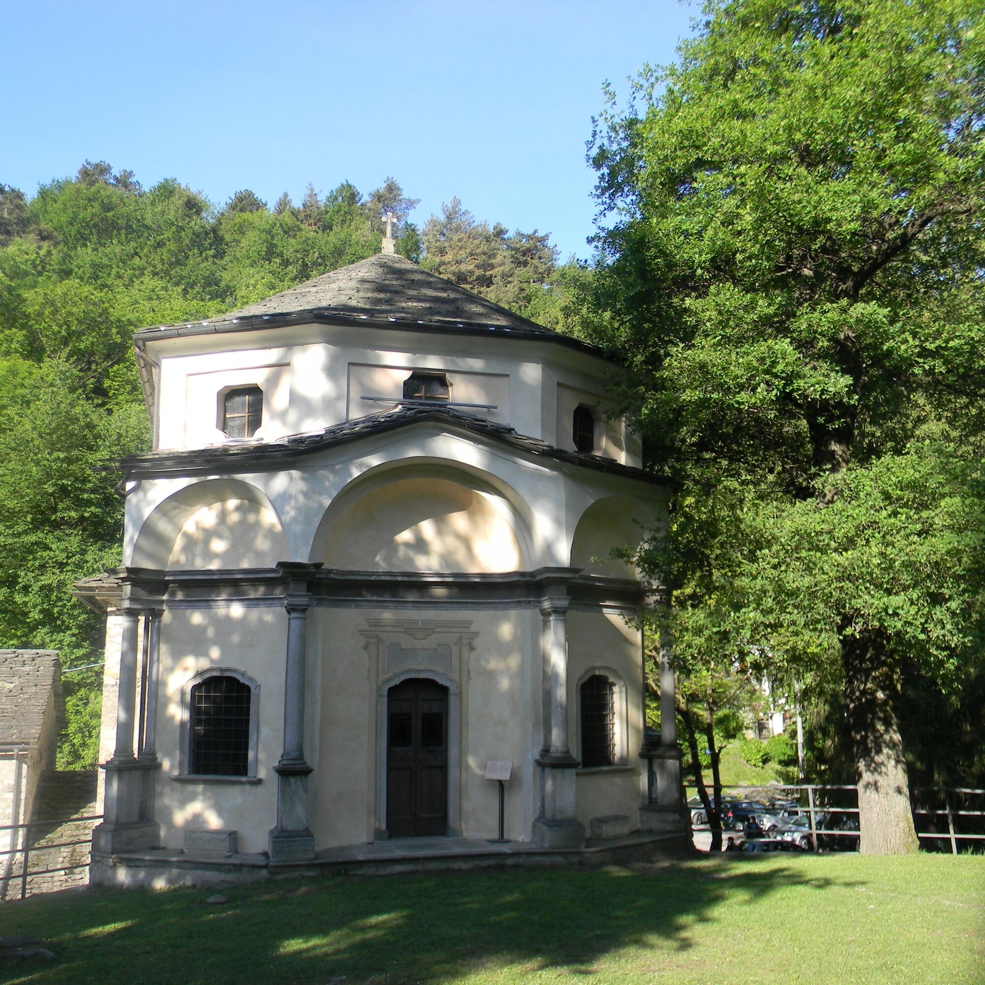
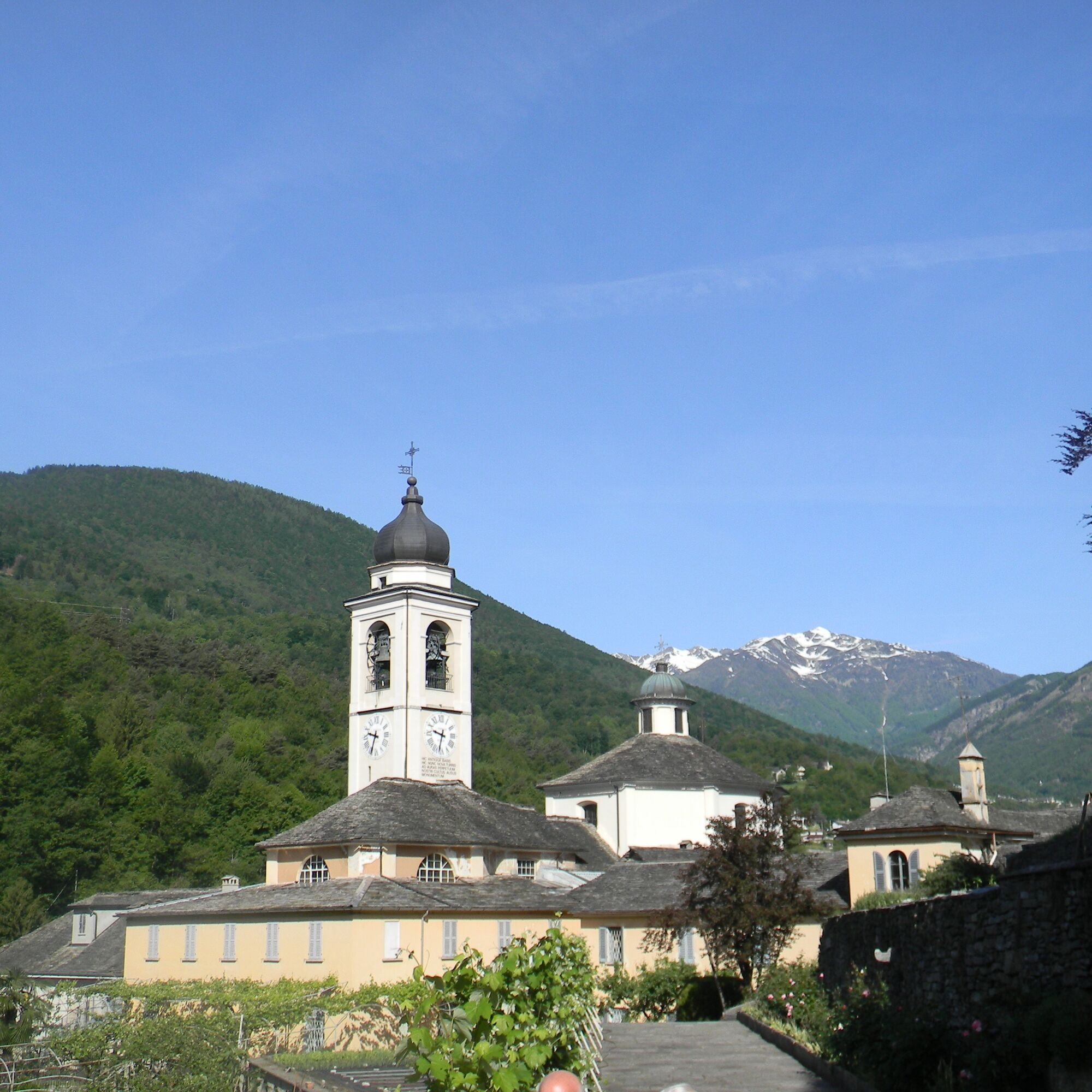

Stages:
Domodossola - Boschetto on the "Via dei torchi e dei mulini" (Way of the Wine Presses and Mills) 12km; including the visit of Domodossola and the Sacro Monte Calvario (Holy Calvary Mountain) 3h 40min without breaks; 530 meters of ascent, 329 meters of descent. Boschetto - Antrona on the "Strada Antronesca" (Antrona Road) 15km; excluding the visit to Montescheno on the "Via della segale" (Rye Way) and Bordo "Via del ferro" (Iron Way) 4h 15min without breaks; 535 meters of ascent, 78 meters of descent. Antrona - Biwak Cingino on the "Strada Antronesca" 13km; 5h 25min without breaks; 1397 meters of ascent, 87 meters of descent. Biwak Cingino - Saas-Almagel on the "Strada Antronesca" 14.5km; 5h without breaks; 606 meters of ascent, 1187 meters of descent. Saas-Almagell - Saas-Fee on the Chapel Path 5.5km; 1h 45min without breaks; 222 meters of ascent, 90 meters of descent.Mountain boots
Backpack
Weatherproof and sufficiently warm outdoor clothing
Headwear
Sun protection and sunglasses
Water bottle
Snacks
Hiking poles
Hiking map
Navigation device (GPS)
First aid kit
Silk sleeping bag
Change of clothes
The route is completed independently. Experience and independent orientation in high alpine terrain are required.
Users of alpine hiking paths must be sure-footed, free from dizziness, in very good physical condition, and skilled in the use of rope and ice axe. They must also be capable of overcoming climbing sections using their hands and aware of mountain hazards.
Careful route planning and consideration of meteorological conditions are a must. Some sections of the route can only be completed in very good weather conditions.
The weather can change rapidly in the mountains. Therefore, take suitable clothing, sufficient provisions, and water. Turn back in time in case of uncertain weather.
Inform others about the route and never go alone if possible.
Show consideration for other hikers as well as plants and animals.
Observe warning signs that indicate the constant danger in the riverbed and along the banks of watercourses below dams and water intakes.
From Visp follow the cantonal road and highway to the large roundabout in Gamsen near Brig. Drive towards Simplon Pass and cross the border at Gondo and Iselle, continuing towards Domodossola and Milan. At the "Domodossola Centro" junction, turn right and drive into the center.
Take the SBB to Brig and change there to the train towards Domodossola/Italy. The high alpine pilgrimage route starts at the train station in Domodossola.
Several parking options are available in Domodossola.
T3
More information about the destination:
Saastal Tourism AG
Obere Dorfstrasse 2
3906 Saas-Fee
Tel.: +41 (0)27 958 18 58
E-mail: info@saas-fee.ch
www.saas-fee.ch
Book accommodation early in the mountain villages.
Získejte přehled
Vždy živě na místě s více než 9 500 webkamerami. bergfex Jako uživatel Pro si nyní můžete zobrazit odpovídající webové kamery pro mnoho prohlídek v aplikaci prohlídky z. Můžete si tak přímo prohlédnout aktuální podmínky.
Oblíbené prohlídky v okolí
-
4.9
Allalinhorn vom Mittelallalin über Normalweg
středníVysokohorská turistika 6.15 km -
3.6
Höhenweg Kreuzboden - Almagelleralp - Saas-Almagell
Turistika 9.74 km -
3.5
Waldweg Saas-Fee - Saas-Almagell
Turistika 2.83 km -
4.7
Weissmies Südgrat von Saas Almagell
středníVysokohorská turistika 20.5 km -
4.8
Marmot mountain path Spielboden
středníTuristika 3.89 km -
5.0
Via ferrata Jägihorn
heavyVia ferrata 6.14 km -
5.0
Mountain trail Kreuzboden - Hohsaas
středníTuristika 4.65 km -
3.7
Mattmark - Monte Moro - Macugnaga
Turistika 10.6 km -
Around the Mattmark Reservoir in the Saastal
světloTuristika 8 km -
3.5
Saas-Fee - Gemsweg - Hannig - Plattjen
Turistika 6.89 km
Pěší turistika a stopování


Nenechte si ujít nabídky a inspiraci pro vaši příští dovolenou
Vaše e-mailová adresa byl přidán do poštovního seznamu.





