


Orco Valley Ring - stage 3
Úroveň obtížnosti: 3
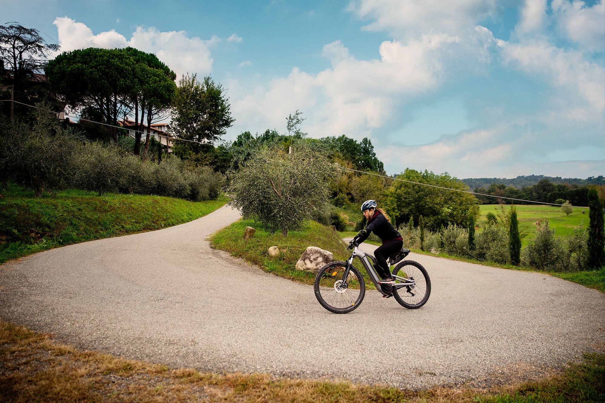
Route of 38km and 1100m+ elevation on quiet roads that reach up to 1400m at Pian del Lupo, a hollow of alpine pastures in a splendid panoramic position, which is also the highest point of the entire ring....
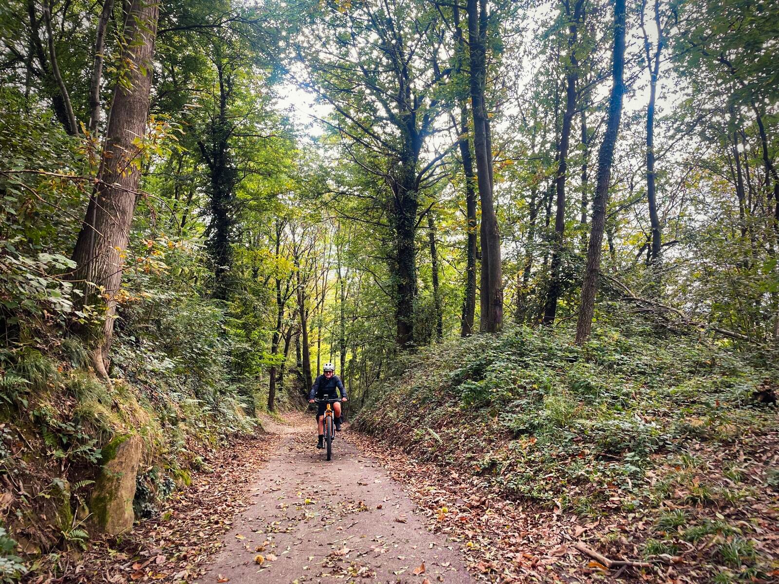
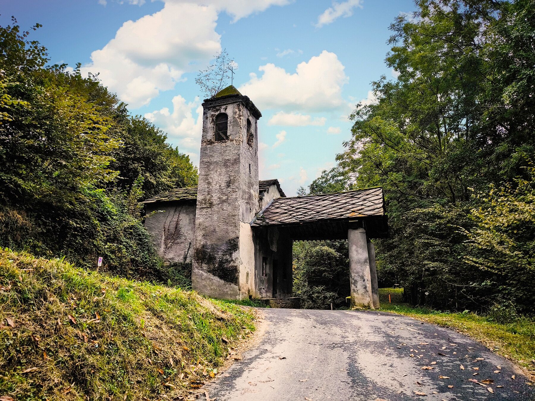
Route of 38km and 1100m+ elevation on quiet roads that reach up to 1400m at Pian del Lupo, a hollow of alpine pastures in a splendid panoramic position, which is also the highest point of the entire ring. The Valle Sacra is small but evocative, characterized by a combination of unspoiled nature, ancient history, and local traditions that make it an attractive and peaceful destination for lovers of mountain atmospheres. Pont Canavese is a natural and cultural crossroads between two important alpine valleys: the Orco Valley and the Val Soana, a characteristic that historically makes it a strategic crossing point. Cuorgnè with its medieval historic center with the two towers overlooking it, the Bell Tower and the Tower of San Rocco, important historical and architectural symbols of the city's medieval past, both testifying to the strategic and defensive importance during the Middle Ages. Cuorgnè represents the endpoint of this bucolic stretch with 90% paved roads and the remaining 10% compact dirt.

Ano
Ano
HELMET: Although not mandatory, we strongly recommend using a helmet
TIRES: Check that the wheels are properly inflated, the importance of tire pressure is often underestimated as it increases safety and makes pedaling smoother
LIGHTS: If you plan to ride at dusk or at night, make sure you have front and rear lights, as well as reflectors.
CLOTHING: Bright or reflective clothing is recommended to be more visible to other vehicles.
EMERGENCY EQUIPMENT: Bring a spare inner tube, a pump (or a CO2 cartridge), and tire levers to remove the tire. A small toolkit can come in handy.
TRAFFIC RULES: Follow traffic signs, always ride on the right edge of the lane, and signal your intentions to other road users.
WEATHER: Check the weather forecast before setting off to avoid adverse weather conditions. In the summer months, sunscreen is advisable to protect yourself from UV rays.
By car you can reach Vistrorio via: the SS 460 di Ceresole, via the A5/E612 exit at Ivrea (toll route) and finally the SS 565 di Castellamonte
there are no railway stations
3
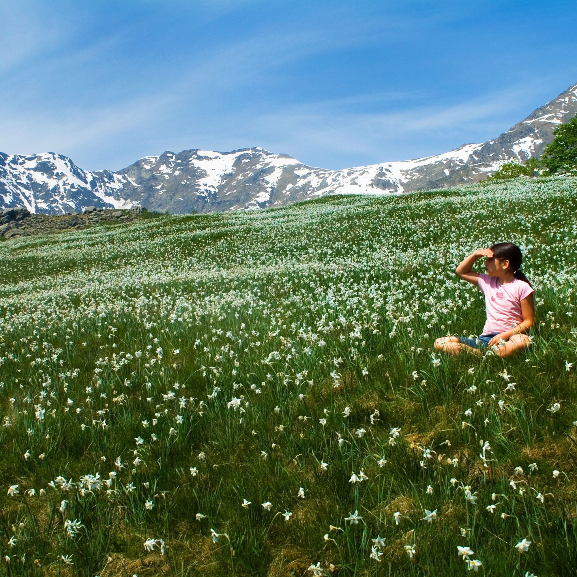
Especially impressive is the blooming of the daffodils at Pian delle Nere during the month of May
Oblíbené prohlídky v okolí
-
5.0
VALCHIUSELLA Loop Fondo - Tissone - Tallorno
středníTuristika 5.08 km -
4.0
TRAVERSELLA Souls and Transhumance Path
středníTuristika 10.0 km -
ALPETTE Monte Soglio and cima Mares from Balmassa
středníTuristika 10.9 km -
BALDISSERO CANAVESE The Monti Pelati nature reserve
středníTuristika 7.19 km -
5.0
ROCCA CANAVESE Madonna della Neve - Bandito Chapel
středníTuristika 12.4 km -
4.0
VALPERGA Sacro Monte di Belmonte Loop
středníTuristika 10.3 km -
COLLERETTO CASTELNUOVO Pian del Lupo - Quinseina di Santa Elisabetta
heavyTuristika 6.27 km -
RUEGLIO Cima Bossola from the Cima Bossola refuge
středníTuristika 3.79 km -
VALCHIUSELLA Lakes of Alice Superiore and Meugliano
světloTuristika 7.99 km -
SPARONE The ancient mule track of Frachiamo and the Rocca di Sparone
středníTuristika 6.17 km

Pěší turistika a stopování


Nenechte si ujít nabídky a inspiraci pro vaši příští dovolenou
Vaše e-mailová adresa byl přidán do poštovního seznamu.