


Grand Tour UNESCO Arco 4 | From Racconigi to Avigliana
From Racconigi, following the banks of the Maira River, continue along the Varaita River towards Saluzzo and Lagnasco. The route runs between the Castle of Manta, Saluzzo, and the UNESCO MAB Reserve of...
From Racconigi, following the banks of the Maira River, continue along the Varaita River towards Saluzzo and Lagnasco. The route runs between the Castle of Manta, Saluzzo, and the UNESCO MAB Reserve of Monviso and the Po River. The itinerary crosses the countryside on dirt roads and reaches the Abbey of Staffarda, then continues to Cavour and the ancient Abbey of Santa Maria up to Campiglione. Taking the cycle path, you reach the Castle of Miradolo and Pinerolo, where you proceed to reach the lakes of Avigliana.
THE VARIANTS
Arco 04 Racconigi – Avigliana, Maira variant
The route follows the Maira Path for about 12 km, between Racconigi and Savigliano: technical but always rideable, quiet and shaded, it runs along the left bank of the stream. Near Savigliano, there is a equipped rest area.
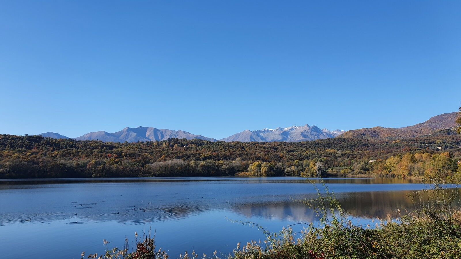
Arco 04 Racconigi – Avigliana, Small Lake of Avigliana variant
The route develops for 2.5 km along a path running along the western shore of the Small Lake. Technical but always rideable and shaded by the woods, it offers splendid views of the lake and surrounding mountains and reconnects to the main route on the provincial road rising to Giaveno, just before the Large Lake.
The variants differ slightly from the main route but must be carefully considered as they require higher technical skills, especially in bad weather. The presence of narrower paths, rough or slippery terrain, steeper slopes, and denser vegetation can make them more challenging.


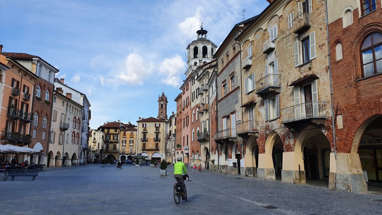
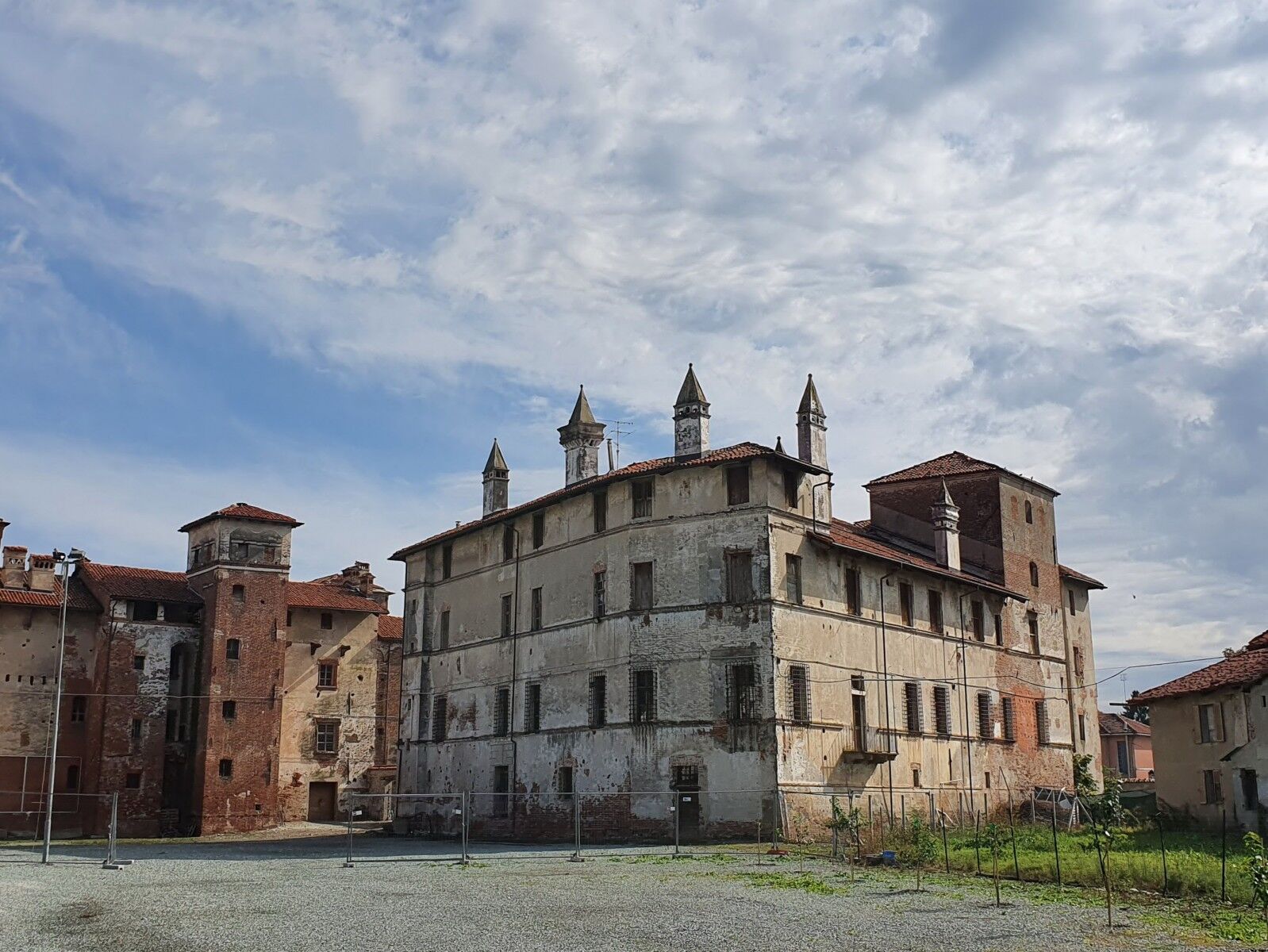
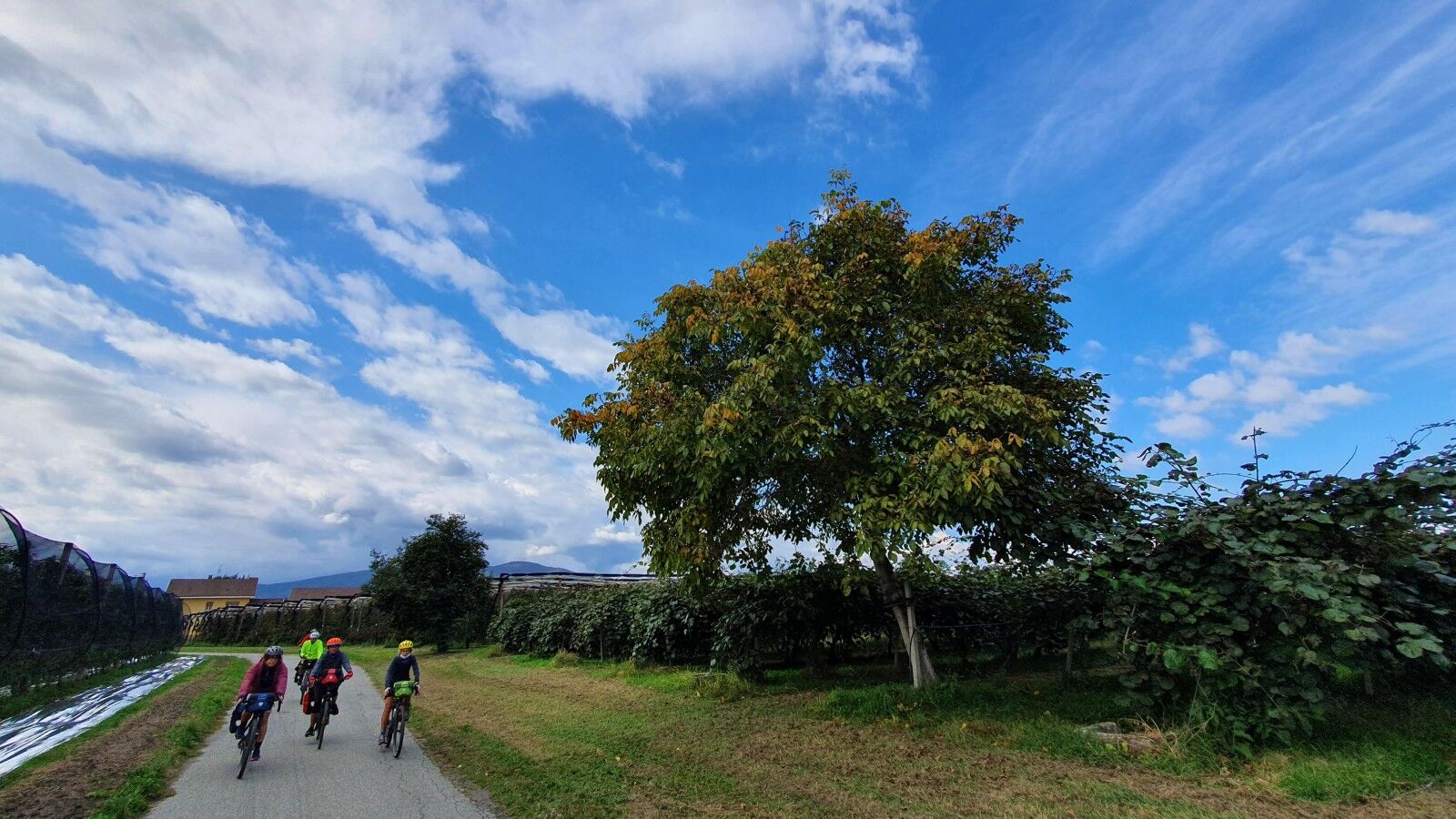
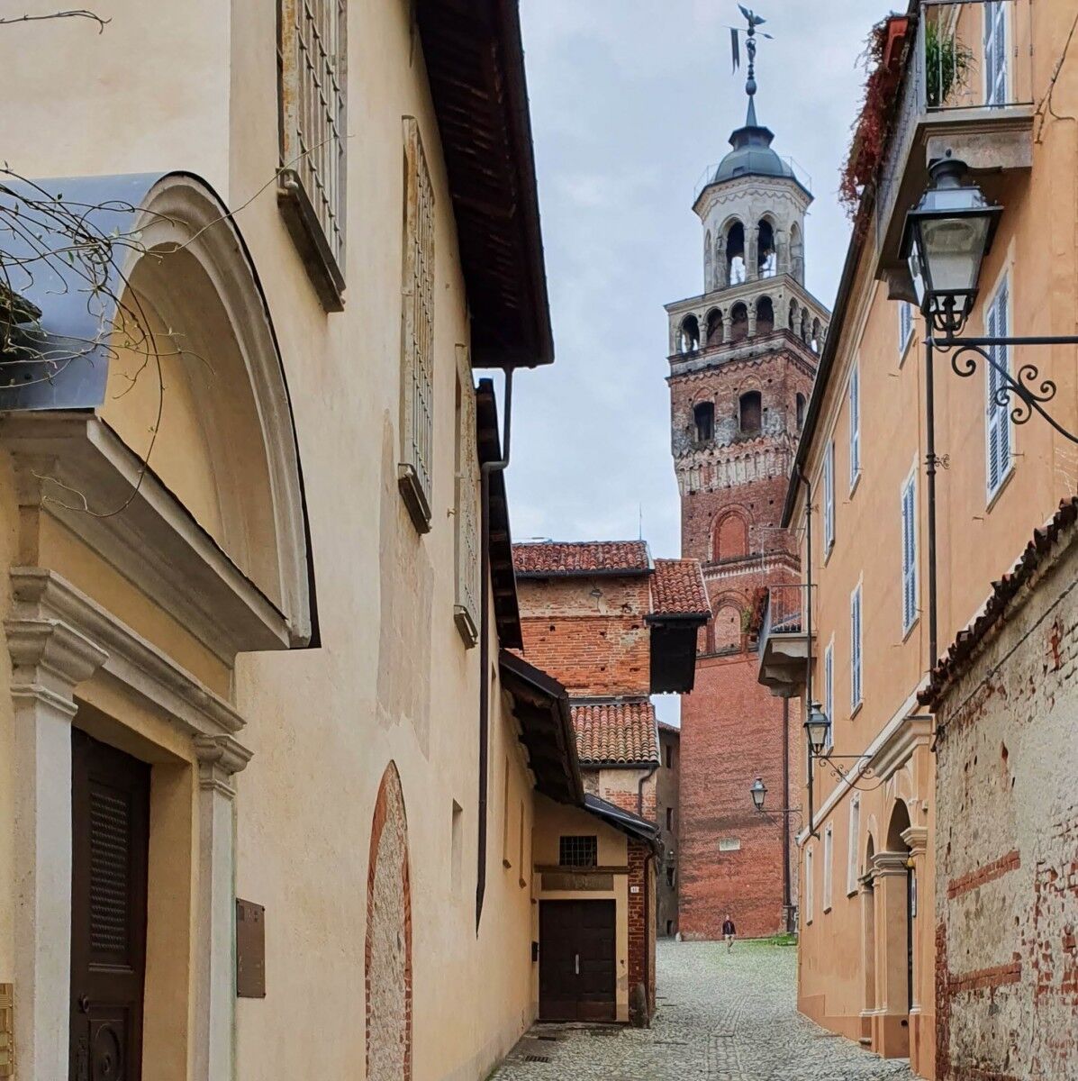
The route of the fourth stage of the Grand Tour among UNESCO sites starts from Racconigi, crosses the Maira River and follows its course along the banks and countryside passing through Cavallerleone to reach the historic center of Savigliano. After crossing the Maira River again and following Cavalotta road, you reach the rural complex and the Maresco palace. The route follows the Varaita River, crosses it on the bridge of the road leading to Saluzzo, then turns south until the town of Lagnasco. Through long rows of fruit trees, it passes through the town of Verzuolo to reach the village and Castle of Manta, a FAI property.
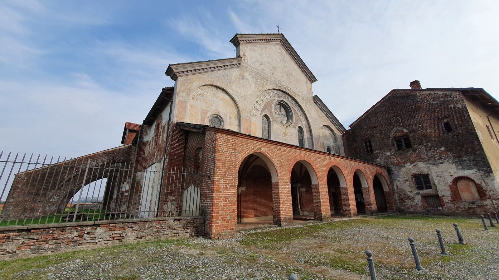
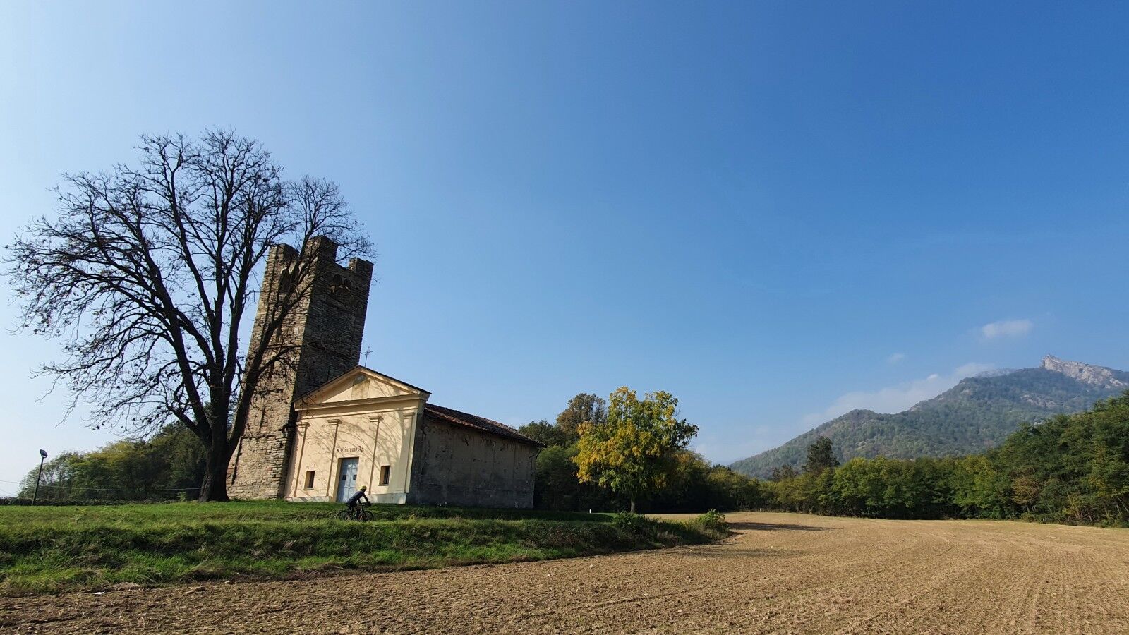
From here you reach Saluzzo, near the UNESCO MAB Reserve of Monviso and the Po River. The route follows the river banks with a crossing on the bridge to Revello. It continues on partly dirt roads to the rural complex with the Abbey of Staffarda and Cavour, with the Rocca, which stands out clearly in the landscape between Pinerolo and Saluzzo. On the cycle path at the foot of the Rocca, you pass by the ancient Abbey of Santa Maria and cross the historic center of Cavour, continuing for a few kilometers passing through the town of Campiglione.
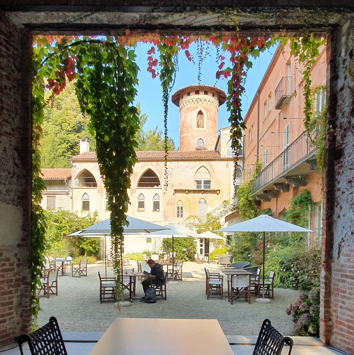
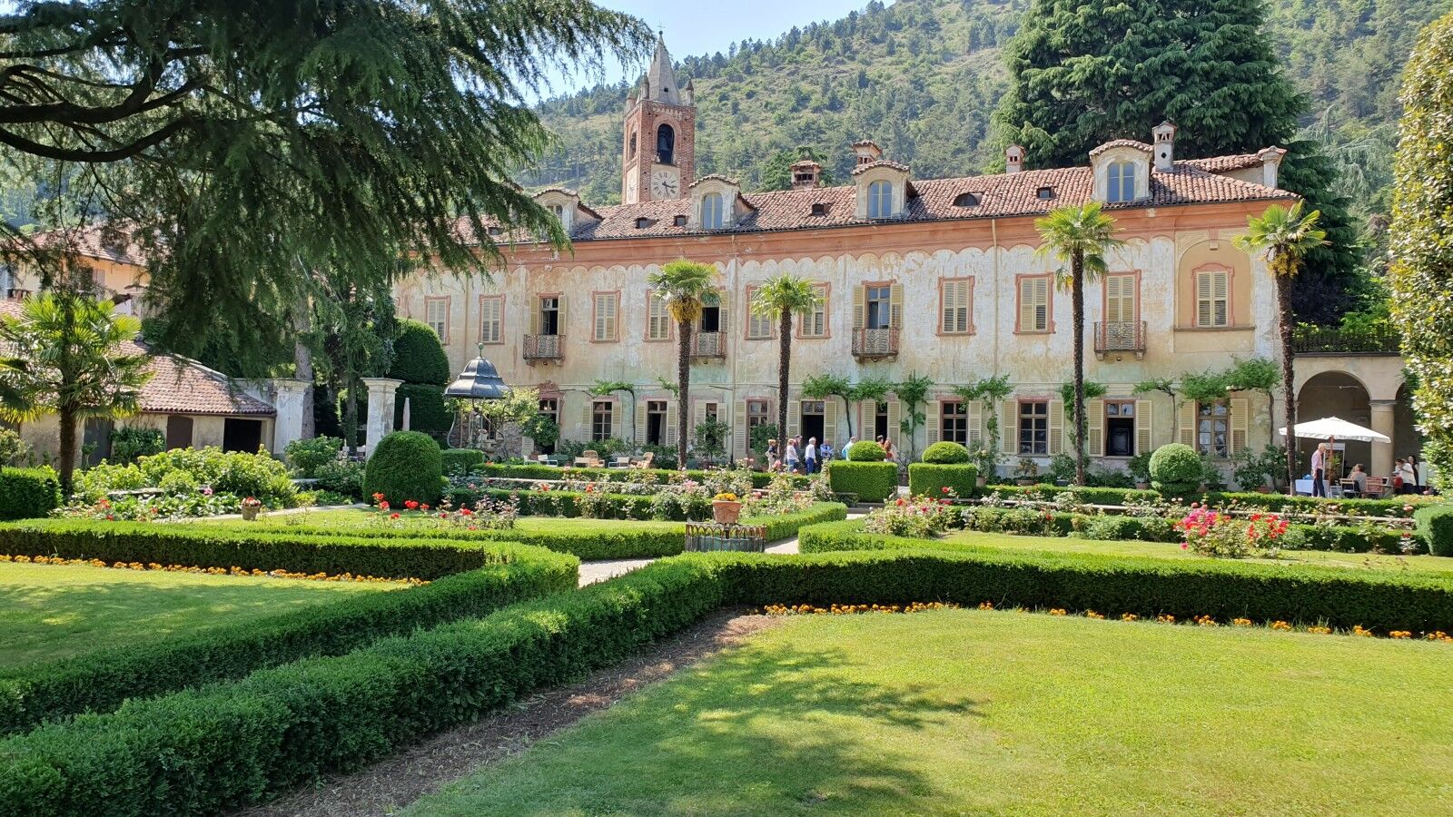
The route now takes the cycle path on the bed of the disused railway that ran between Barge and the village of Bricherasio, up to Val Pellice and San Secondo di Pinerolo with the Castle of Miradolo and the magnificent park. Immediately after, it crosses the Chisone and enters Pinerolo (rail connection with Turin and cycle path connection to Turin, passing through the park and the Stupinigi hunting lodge for 43 km). Leaving Pinerolo along the roads at the foot of the hills of Frossasco, passing the church of San Giacomo, it continues to Piossasco, rising slightly towards the castle, the church of San Vito, and the beautiful Villa Lajolo with its historic park. Crossing the historic center, along the dirt road in the flat part of the town and through the fields, you arrive in Sangano (possible 31-km cycle connection with Turin along the Sangone, passing through Stupinigi). Here you cross the Sangone before entering Trana and reaching the lakes of Avigliana, avoiding the busy main road, before climbing to the historic center.
Ano
Sportswear is recommended and, even in good weather, a windbreaker jacket and a possible change of clothes.
Some sections of the route along the small lake of Avigliana can be difficult to ride in winter and during rainy periods.
Train stations along the route: Racconigi, Savigliano, Saluzzo, Pinerolo, Avigliana
On MTB and gravel for experts, on e-bike for everyone.
Don't forget the camera to capture the magnificent scenery between Monviso and the Turin plain. Magnificent spring blossoms in the orchards between Savigliano and Saluzzo.
Oblíbené prohlídky v okolí
BRICHERASIO The Via della Pietra
světloCyklistika na velkou vzdálenost 11.5 kmBIBIANA Upslowtour - Valley Floor Ring 12
světloJízda na kole 55.2 kmCAVOUR Ancient trees
světloCyklistika na velkou vzdálenost 29.6 kmStage 2 from Cavour to Pinerolo - Le Strade dei Forti
heavyPoutní stezka 19.7 kmThe Roads of the Forts - stage 3 Pinerolo, a French city for 120 years
světloPoutní stezka 3.28 kmChisone ring on the trail of herons
středníMountainbike 22.4 kmLe Strade dei Forti - stage 1 from Villafranca Piemonte to Cavour
heavyPoutní stezka 22.9 kmLe Strade dei Forti - stage 1 from Villafranca Piemonte to Pinerolo
světloMountainbike 43.6 kmFrom Lusernetta to Villafranca
světloMountainbike 56.4 kmThe Pinerolese Apple Road
heavyCyklistika na velkou vzdálenost 123 km

Pěší turistika a stopování


Nenechte si ujít nabídky a inspiraci pro vaši příští dovolenou
Vaše e-mailová adresa byl přidán do poštovního seznamu.