







Bar To Bar in mountain bike - Tappa 4: Niella Belbo - Roddino

The stage still winds along the paths of the Alta Langa, and coincides with the Grande Traversata delle Langhe, therefore offering numerous possible detours to visit these high lands. The route offers...
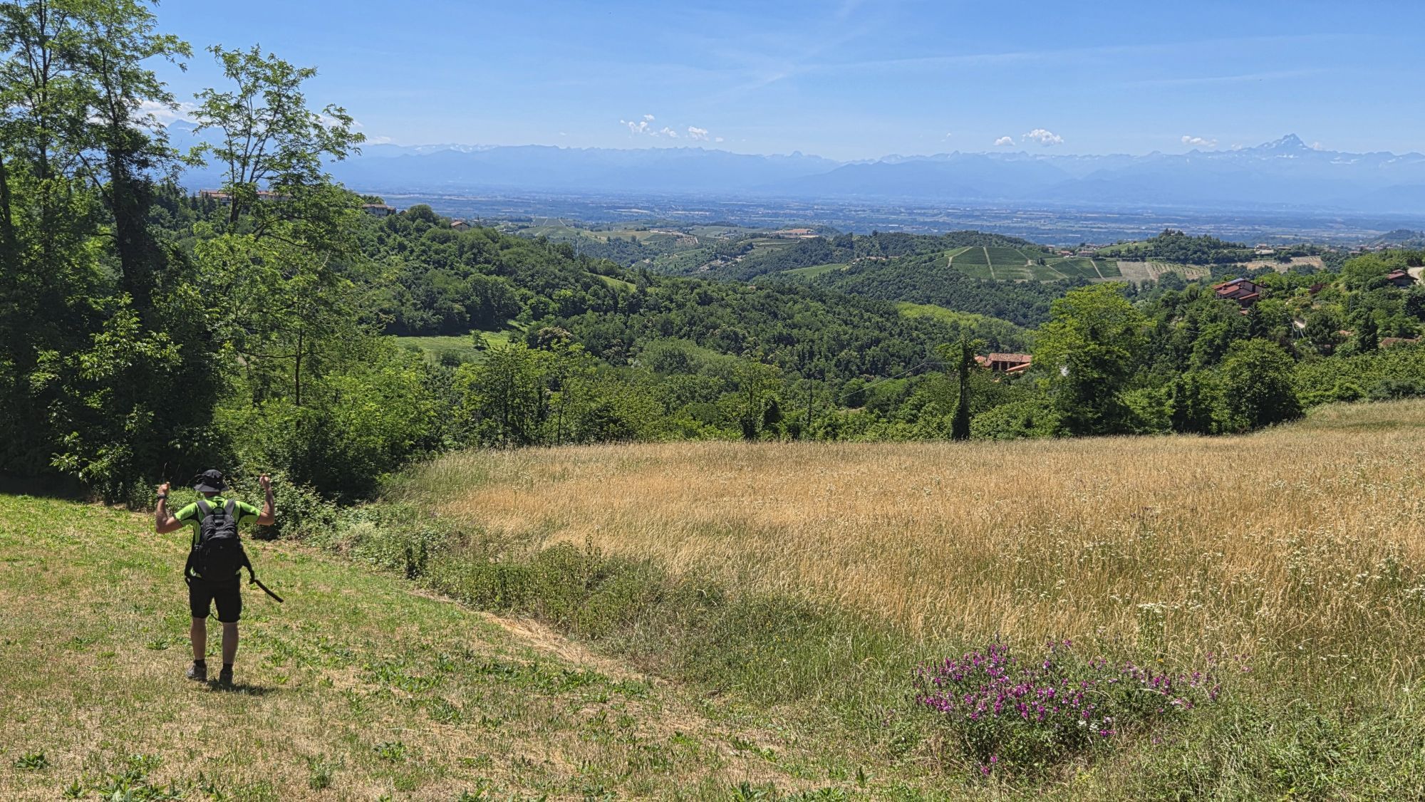
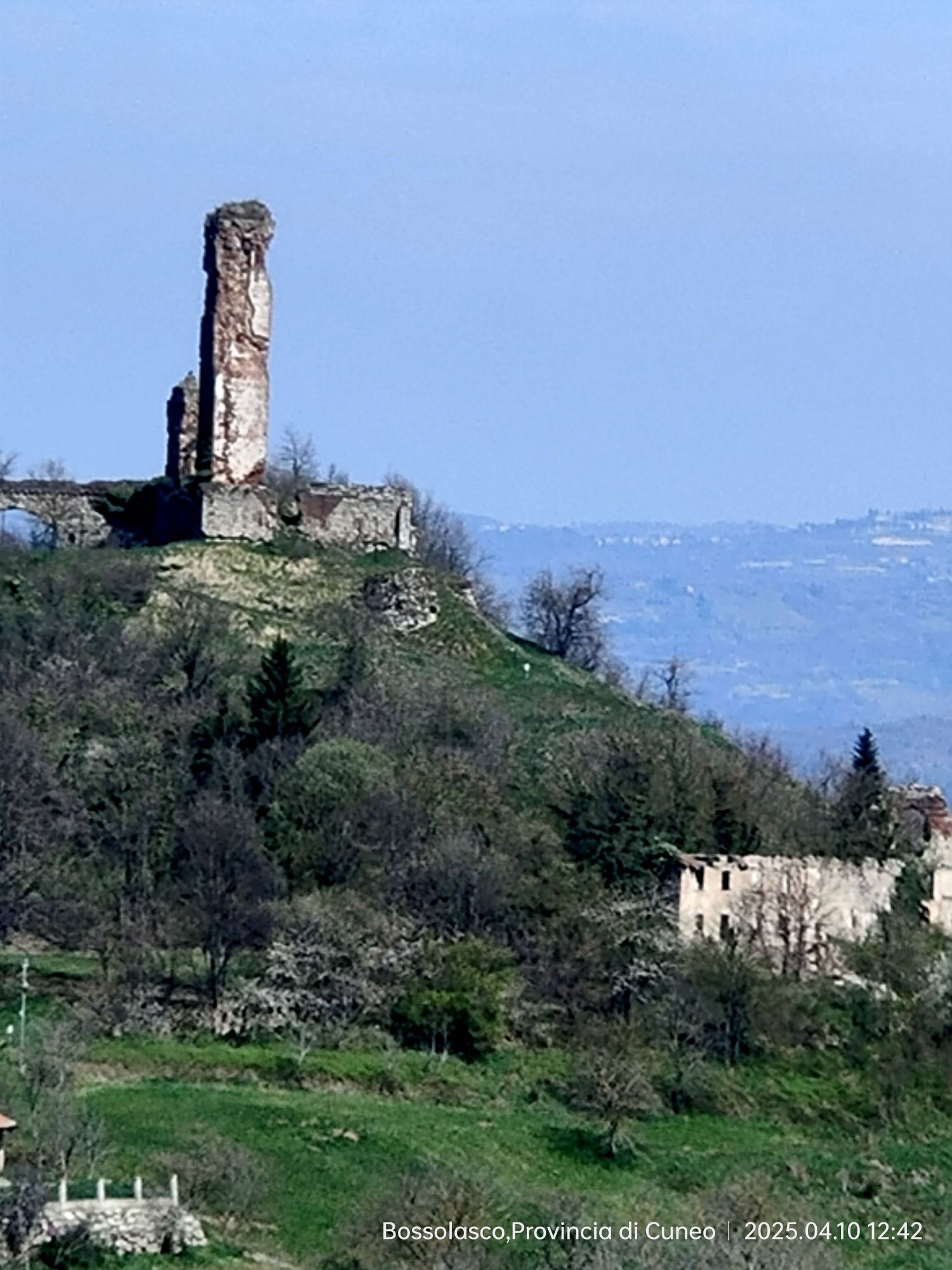
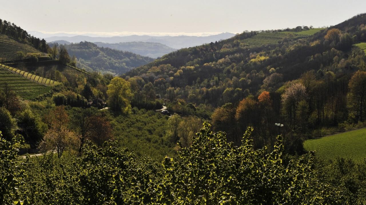
Niella Belbo preserves a medieval tower, as well as some valuable 15th century frescoes in the parish church and the romantic Sanctuary of the Madonna dei Monti, one of the many peaks that dot the Belbo Valley. In front of us, to the north, the large village of Bossolasco (which we will arrive at after a steep descent into Belbo on the town of San Benedetto, the only town on the valley floor), while to the west the valley finally opens towards the summit of Mombarcaro (896 m) and on the Sorgenti del Belbo plateau, a unique nature reserve in the Langhe. We therefore pass the town in the direction of San Benedetto and proceed on asphalt until the signposted crossroads on the right, then downhill (D2), to continue on the dirt road up to the left crossroads which descends into the rittano (D2) and, beyond the ford, goes up into the forest (S2) to take the flat track on the left. You enter the asphalted municipal road on the right towards the Sant'Anna hamlet, from where you take, on the left, the path along the surrounding wall of the first farmhouse, which descends sharply (D3) into the next hill. You go up for a hundred meters to continue on flat ground to the hamlet of Scaroni, from where you take the asphalt again towards this quintessential Fenoglia village. Good posters retrace all the places and events narrated by Fenoglio in his stories and in the short novel "Un Giorno di Fuoco". Here is the private property of Placido, the square where the car skidded while going back and forth to Gorzegno, the Maestra's house, the cemetery... everything here tells us about the writer and a lot in Fenoglio tells us about San Benedetto. Then admire the remains of the Benedictine abbey with the access arch to the fortified village and the pleasant descent to the river, between path and staircase. Here the crossroads of Mimberghe, Cadilù and Lunetta retain the echoes of his stories (above all "Pioggia and the Bride") and the three villages are worth an unhurried visit. We cross the Belbo on the driveway bridge and take the first road on the left that goes up steeply (D3), but asphalted, on the steepest side of the valley: the panorama opens up and allows us to grasp the volume of the Benedictine village in all its medieval forms. Once we reach the crest, the watershed offers us a view of the distant Tanaro Valley, now surrounded by the Maritime Alps and the romantic Murazzano tower. We take the state road on the right to then immediately take the crossroads to the left for the Safari Park and, shortly after, having passed the peak, we find our grass and cobblestone ridge route on the right that runs along the ridge of the Bossola Pass. The road, majestic in terms of panorama and altitude, proceeds initially on flat ground and then sharply downhill (D3) up to the pass, where it rejoins the state road for the section of the crossroads and immediately turns left again, continuing along the crest in the woods (pay attention to the next crossroads: go straight, staying on the ridge), up to the Basic2 industrial plant. We leave the factory on our left and cross the asphalt courtyard to continue up to the church of San Rocco, from where we go up (D1-2 asphalt) again onto the watershed to finally reach, from above, Bossolasco (at the end of the road we turn to the left and take the main street near the Church of Santa Maria degli Angeli, from which you practically enter the village). Bossolasco is the town of painters (the Group of Six) and their historic insignia. Fenoglio, like half of Alba, came there on holiday in the summer, while in the winter - incredible! - the only ski resort in the Langhe was located here! The town is romantic with roses and tastefully restored houses: the ancient Palazzo Balestrino speaks to us of the Ligurian ties of the Marquis del Carretto, while the parish church, heavily renovated, perhaps deserved more attention. On the way out towards Serravalle and Alba you cannot miss a stop at the famous Fontana Azzurra and then, shortly afterwards, leave the state road and take the left fork, which descends onto a dirt road, first gently through the fields, and then falls into the woods (extreme D3 ) up to the rittano and go back up into the sunny fields towards the beautiful country chapel of San Lorenzo. Here you turn right and then immediately left, on asphalt, in the Pratonoero area, to go back up towards Serravalle Langhe, going right at the first dirt crossroads, right again after a couple of kilometers on asphalt and, finally, uphill ( S1) on the state road at the entrance to the village. Serravalle Langhe, as the name suggests, blocks the way to the ridge road (the Langhe state road, perhaps heir to the Via Magistra Langarum that the Romans opened), but lost its medieval castle in the 16th century. However, in the village there remains the beautiful palace, now the town hall, and, above all, the ancient Oratory of San Michele (12th century, note the sandstone rose window and the 15th century frescoes). Continue from the Town Hall square along via Baudana and, once you reach the end, keep left (via Monte Vacca) and continue along the asphalted descent (via Braia, D1) until the crossroads on the right, in grass, which will take you to ( at every crossroads you have to keep right until the river) to the steepest and most extreme of the descents on the rittani: the one on the Rio Inferno (nomen omen), which flows placidly between sandstone walls, but at the bottom of a deep muddy gorge to be crossed with a lot of attention. The ascent (S3) up to the provincial road in front of the Chapel of San Lorenzo di Roddino, although less steep, wider and less muddy, is still very demanding. Once we reach the provincial road, we turn left and walk along the ridge which now overlooks like a natural balcony over the most famous vineyards in Italy, until we reach the small village, a true lookout over the Barolo Langa.


Ano
By car: A6 – Torino Savona, Marene or Carmagnola exit / A21 – Torino Piacenza, Asti Est exit / A33 – Asti Cuneo, Alba exit / By plane: Milan Malpensa and Linate – www.sea-aeropoertimilano.it / Torino Caselle – www .aeroportoditorino.it / Cuneo Levaldigi – www.aeroporto.cuneo.it / By train: Ferrovie dello Stato: www.trenitalia.com
Langhe Monferrato Roero Tourism Board: www.langheroero.it/
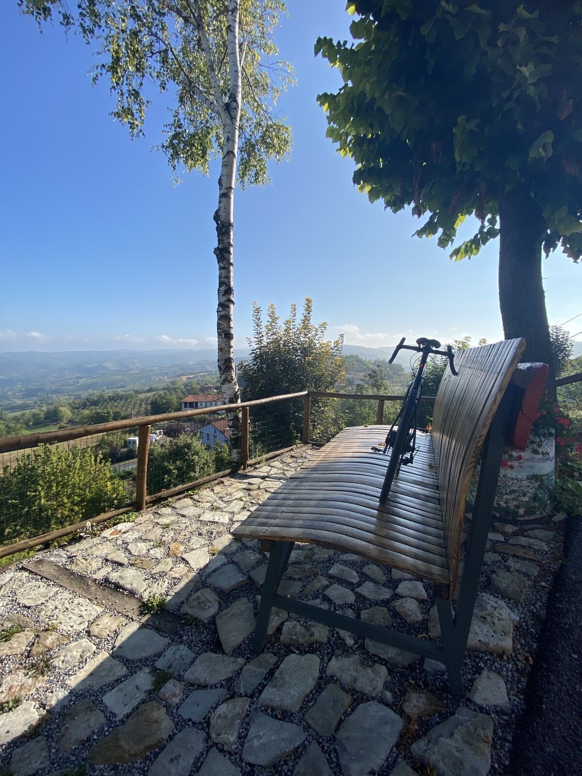
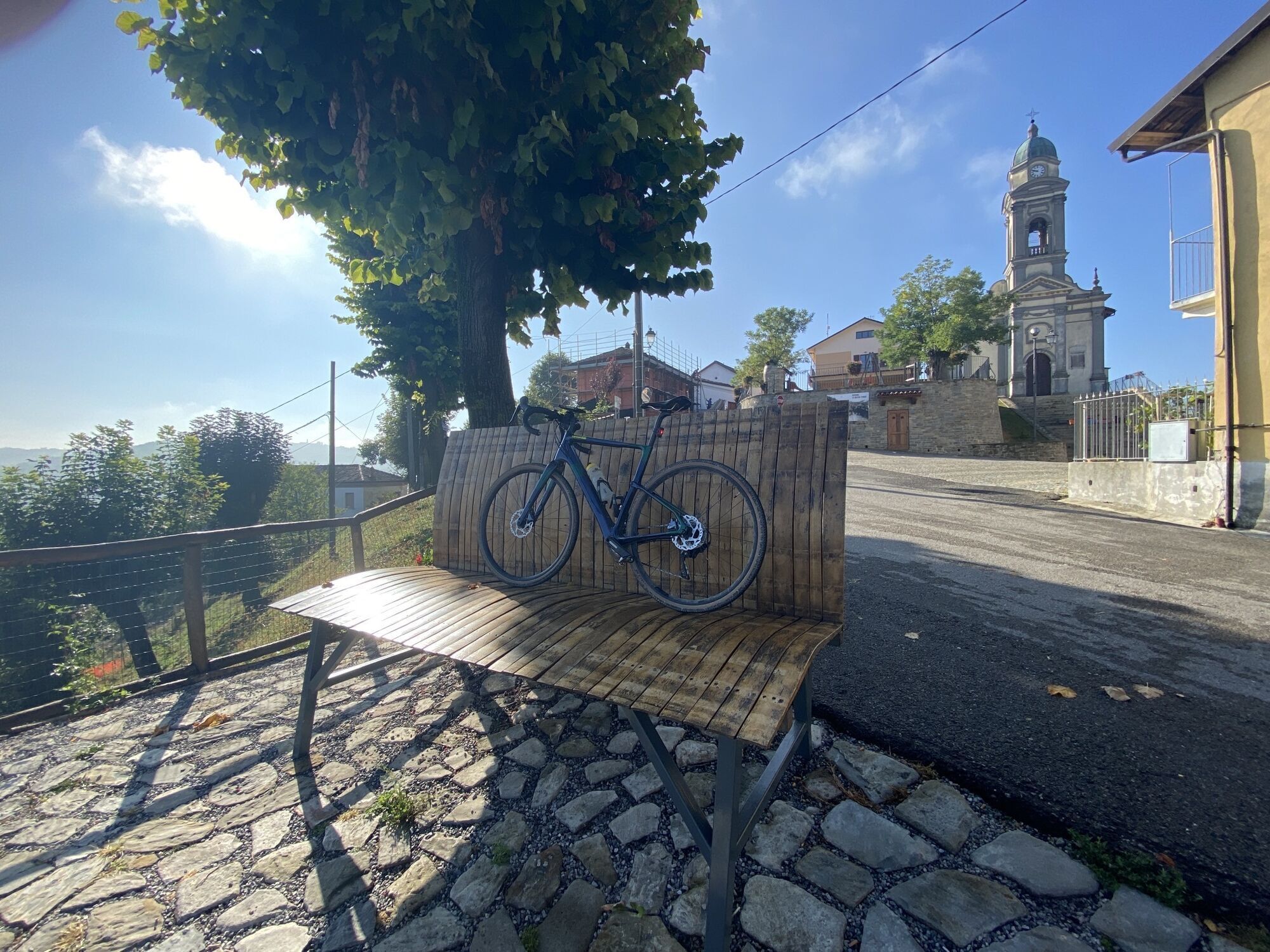
Niella Belbo: Arch and Medieval Tower of the French, Medieval Tower, Giant Chris Bangle Bench, Sanctuary of the Madonna dei Monti - San Benedetto Belbo: City Walls, Benedictine Monastery, Fenoglian Places - Bossolasco, the town of roses: Church of the Madonna della Mellea - Serravalle Langhe: Church of San Michele, Church of Santa Maria Vergine Assunta, Oratory of San Michele Arcangelo, Palazzo Marchionale - Roddino: Country chapel of Santa Margherita, Country chapel of San Lorenzo Martire.
Webové kamery z prohlídky

Oblíbené prohlídky v okolí
-
Barolo Classic
heavySilniční kolo 50.0 km -
The hills of Count Cavour
světloSilniční kolo 35.8 km -
5.0
The Ascents of Champions
heavySilniční kolo 114.2 km -
Mombarcaro-San Benedetto Belbo Rundweg
světloTuristika 11.3 km -
Bar To Bar in mountain bike
heavyCyklistika na velkou vzdálenost 68.6 km -
Gran Traversata delle Langhe - GTL
středníTuristika 129.2 km -
BTB - Bar To Bar - Stage 6: Monforte d'Alba - Verduno
středníTuristika 12.2 km -
Confraternity of San Michele - Serravalle Langhe
středníTuristika 14.6 km -
BTB - Bar To Bar - Stage 5A: Serralunga d'Alba - Monforte d'Alba
středníTuristika 10.8 km -
Sentiero Tanaro: Tappa 1 Dogliani (Centro Storico) - Clavesana (Loc. S. Giuseppe)
světloMountainbike 12.1 km
Pěší turistika a stopování


Nenechte si ujít nabídky a inspiraci pro vaši příští dovolenou
Vaše e-mailová adresa byl přidán do poštovního seznamu.





