







Cammini delle alte colline ombrose e delle colline chiare: Tappa 13: Castell'Alfero - Chiesa della Natività di Frinco
The route from Castell'Alfero to Frinco unfolds over an itinerary of six and a half kilometres. It lasts an hour and a half and has a height difference of approximately 25 metres.
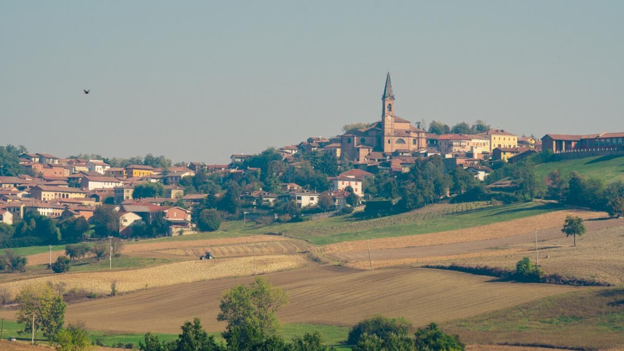
Castell'Alfero, a town...
Castell'Alfero, a town in the Lower Monferrato, home of Giovanni Battista de Rolandis, creator of the tricolor, and of Gianduja, the carnival mask symbol of Piedmont, offers various opportunities for tourists and cycle tourists who choose it as a destination for their excursions: the Castle of the Conte Amico with the “Il Ciar” peasant museum, the parish churches of Castell'Alfero and Callianetto, the Ciabot of Gianduja, his birthplace, the Roseto della Sorpresa in Serra Perno with over 500 ancient roses.
The itinerary presented here allows you to reach the small Romanesque church of the Madonna della Neve, surrounded by nature, on the border between the municipalities of Castell'Alfero and Frinco.
The departure of our route is scheduled from Piazza Mazzini, from where you will go down to Via Amico and keep left, taking Via Moriasco, an asphalt road that leads to the Valle region passing through a wooded "tunnel" with a few houses scattered on the sides. You will cross Via Valle to continue straight, crossing a small bridge under which the Rio Valle flows, towards Boana for a climb of around 200 metres, at the top of which you will turn left towards Moncucco for around 850 metres, until you reach the small town. You will continue straight, leaving the farmhouses behind and entering a wooded landscape for a stretch of just under a kilometre. You will then arrive near the Romanesque church Madonna della Neve, which due to the delicate chromatic taste of the masonry, the valuable sculptures and the uniqueness of the cylindrical bell tower, is counted among the most significant Romanesque churches in the Asti area.
However, the itinerary continues by turning to the right: anyone wishing to enjoy the view of the church must continue straight and go up the slope that leads to it (about 200 metres).
Returning to the itinerary, we descend to the right, leaving the small church in the upper part, and descend for about 400 meters in a stretch still characterized by woods, until the landscape opens onto meadows and cultivated fields and we continue on the road to About 350 meters, coming across a farmhouse on your left. You will therefore cross the dirt road parallel to Provincial Road 22 (Asti-Chivasso), which connected Castell'Alfero and Frinco before the construction of the provincial road.
You will then continue along the road for approximately 2 and a half kilometres, turning right until you cross provincial road 36 and merge onto it, turning left and entering the town center in via Vittorio Emanuele II, where the route will end.
One of the symbols of the town is its Castle, of which evidence is found for the first time in some writings from the 1200s. Unfortunately, its recent history is not the happiest: in the 1960s, the castle was purchased by the Morlini company to be auctioned at the time of the company's bankruptcy. It was then purchased in 1992 by the Pica Alfieri family, to then be sold to a real estate agency, which also went bankrupt in 2012. After years of abandonment, in 2014 a portion of the structure collapsed and today funding is being sought for the its safety.


Ano
Present
Oblíbené prohlídky v okolí
-
Sentiero 700 - SVC Tratto Murisengo - Crea in mountain bike
Mountainbike 18.6 km -
Avanti Savoia!
středníMountainbike 25.0 km -
Sentiero giro del Monte Favato - sentiero 711 in camminata
Poutní stezka 6.43 km -
Sentiero giro del Monte Favato - sentiero 711 in mountain bike
Mountainbike 6.43 km -
Sentiero 700 - SVC Tratto Murisengo - Crea in camminata
Poutní stezka 18.6 km -
Little Randotanaro
středníSilniční kolo 129.2 km -
Sentieri i colli pietrosi - Sentieri 737 in mountain bike
Mountainbike 6.52 km -
Sentiero il Monte Lungo - Sentiero 712 in mountain bike
Mountainbike 6.74 km -
Sentiero intorno al Bric Castelvelli - Sentiero 701 in mountain bike
Mountainbike 7.49 km -
Sentiero intorno al Bric Castelvelli - Sentiero 701 in camminata
Poutní stezka 7.49 km
Pěší turistika a stopování


Nenechte si ujít nabídky a inspiraci pro vaši příští dovolenou
Vaše e-mailová adresa byl přidán do poštovního seznamu.





